I felt really bad this morning, the weather was looking bad and it should rain in almost any direction this day. Best should actually be just where I was in Moggio, so since I could not quite decide how bad I was and wanted not to spoil my vacation by doing something else than cycling, I thought I should give the closest climbs I had thought to see a try. Only problem was that the closest climbs are also some of the hardest ones.
There were two climbs I especially had wanted to do in the area and decided that it would be fine with only those two if that was all I could do this day. Luckily I managed to do both as it never started to rain here, but given how bad I felt I could also not do anything more. First I went over Ovedasso and down to Resiutta (316m) by the main road more or less just across the valley of the B&B.
Resiutta is the famous starting point for the quite steep climb up to Sella Carnizza (1099m) that I did in 2010. Val Resia/Rosajanska Dolina/Rezijanska Dolina is a nice valley. The road and the valley is almost flat for a long time. I had to stop on the way up as they were working rolling down big stones, so they would not roll down later on their own, which had happened recently from what I heard.
After the turn-off for San Giorgio (one could alternatively go over that village if one wants to, but there will soon be enough of ups and downs as it is – and after passing the turn-off for Sella Carnizza, the road continues flat for sometime and then starts to climb gradually to Stolvizza. Stolvizza (580m) is a peculiar village and it feels a little like one here has left Italy behind. This is obviously a more slavic/slovenian influenced locality and apparently they had long had a distinct dialect and special history. Apparently they have a tradition of using bicycles in an unusal way too as seen in this video.
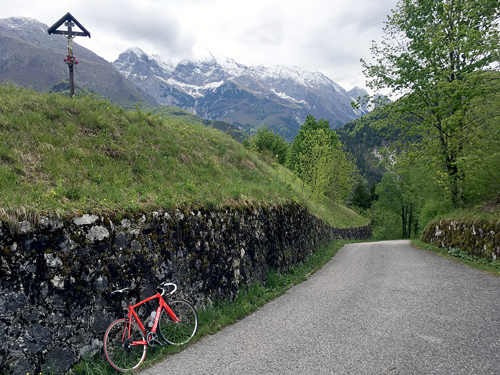
I stopped by the bar All’ Arrivo in the centre, and the only open place in the little village. I had a coffee and maybe something more. A nice little place open only in the morning. The road then descends and then goes up out of the village and here I stopped for the first photo above. I like this photo as it sorts of suggests a mood of doom with cloudy skies, steep mountains and a cross looming over the nice little solemn road. That was a bit the down-hearted feel I had right there. I know this was going to be hard and I had promised to take things as easy as I could as I was clearly sick so as not to get more seriously sick (thinking of the heart).
However, this road is not precisely the kind of road that can be cycled to the end of without exerting a lot of effort. After a descent again I was back to almost the same altitude as before going up to Stolvizza. Here are the exact altitudes (m) in ups and downs from Resiutta: 316-580-485-646-569-1209, the three major ups and downs amounts to 1065 height metres (and in total ca. 1080 or slightly more). Of these one has to walk 60 height metres near the end with a road bike.
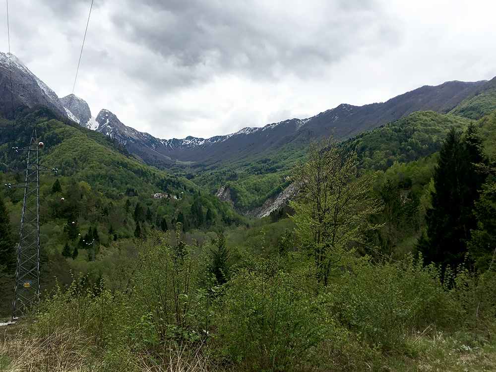
The second photo above is the first and only view one gets of where one is actually heading. It is right in the middle of that green patch at the very end of the valley just below the mountains. The general look of the valley suggests a rather gentle climb up there, but that is really seeing things the wrong way.
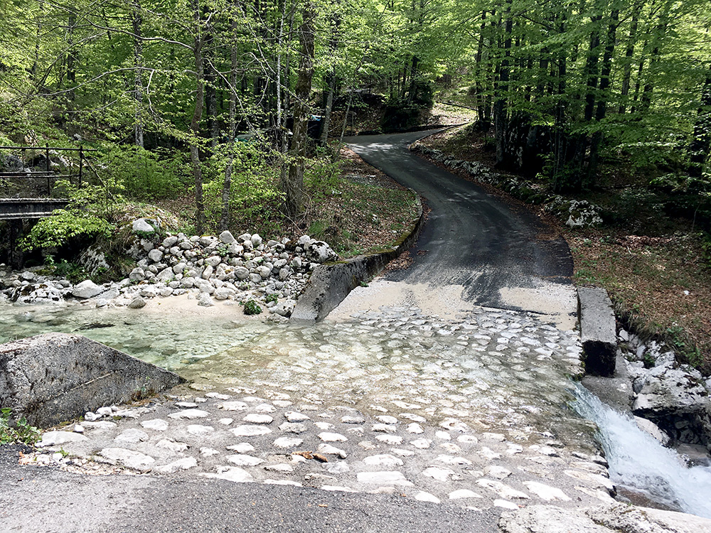
After a descent and steep climb one comes to the place in the photo above. No problem here with a 4-wheel drive and most normal cars would make it too. The problem is two-fold with a bike here: the water was too high to cycle over without having the shoes being filled with water and the stones will be very slippery. BUT, you see there is some kind of bridge to the left and that was the one I had to take as I was not in taking off my shoes and walking in the ice-cold water barefoot on this day. Only problem there is that the “bridge” is not really a bridge and one has to carry the bicycle on the outside, but it worked with some care. Next problem is getting started on the other side as the slope up there is ca. 20% or more, but I was lucky. New fine asphalt though.
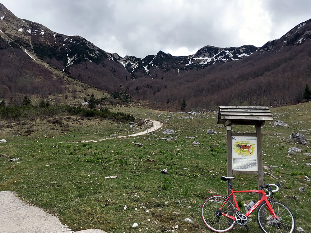
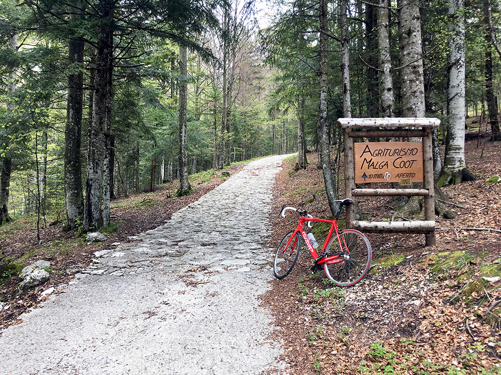
In the photo just above I had arrived at the end of the normal road and guess most road cyclists would go back from here. I thought about it too, but there was no views from there and I knew it should be a non-cobblestoned concrete road the last stretch up, so I decided to walk up here. The stones are really too hard to handle for the bicycle (and myself) unless you are an extremely light-weight cyclist unlike me.
In the photo here I have arrived at the very end of the concrete road above the Malga Coot. The last part up from the Malga to here was the steepest stretch I cycled during my visit to the Alps this time at ca. 27% – not ideal for not taking it easy, but it was a very short ramp and I only just about made it up.
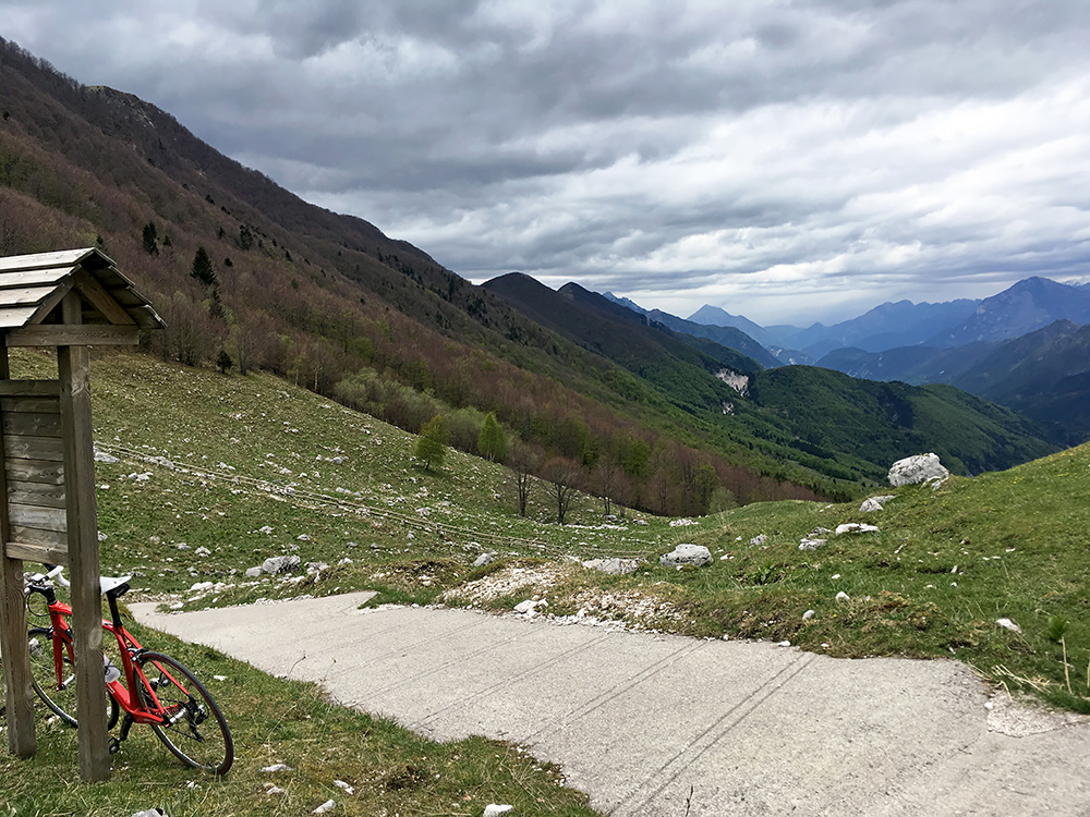
Here we look back on the ramp and valley I had just climbed.
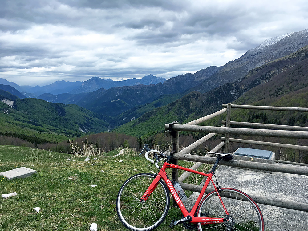
I was slow today so stayed around taking some more photos. A little sun would have helped improve the views, but at least mostly clear views.
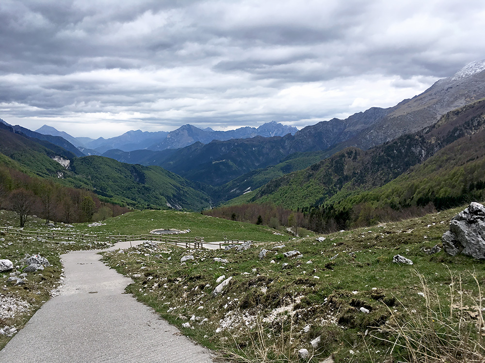
Down from where the road disappears among the trees below one could cycle all the way up here (it is in the woods one has to walk).
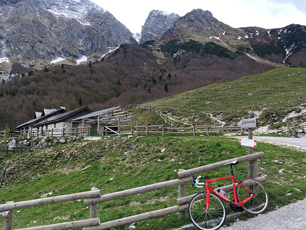
The malga was closed, but might have been open on weekends now.
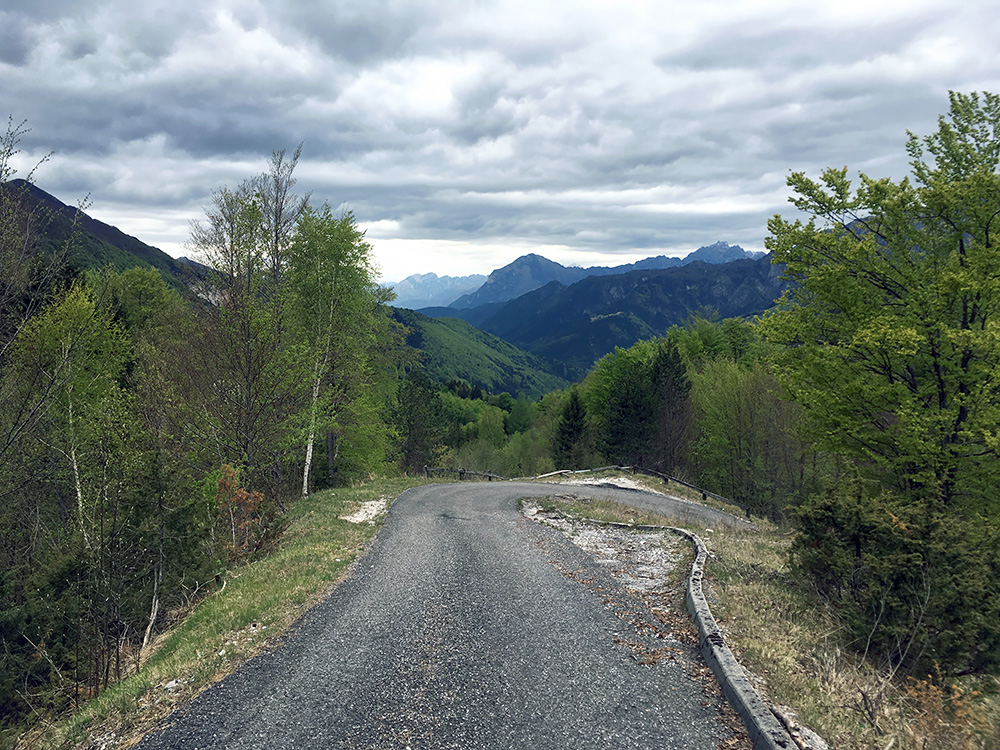
Here you get a sense of that this road might indeed be steep (around 20% here). Behind my back an old road went more or less straight up at perhaps 30%, but can only be walked up. The road taking a long detour up is steep enough and with good asphalt.
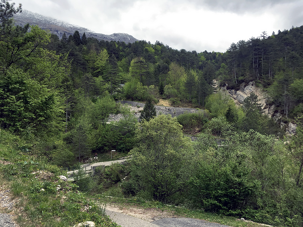
Here is a nice set of very tight serpentines, which would have looked more impressive with less trees in the upper parts.
Enough of photos from this valley. Back in Stolvizza the bar/café/shop was closed for the day. I continued back to Resiutta and stopped by a café there to contemplate if I could indeed do the second climb also. Felt really bad and was just sitting there for almost an hour trying gather strengths to continue. Around 16:00 I decided there was still time to do the Pietratagliata climb I had looked up som many times before. Went up the main road. In Pietratagliata/Perteade (513m) there are (believe it or not) two different roads that are both asphalted that meet up a bit above the small village. For some reason I of course first went wrong. Wanted to take the shortest road in the village, but soon found it. Met a local older couple walking down saying hello, but they were the only ones I saw apart from a car passing me by near the Malga Poccet and then going back down at once for some odd reason.
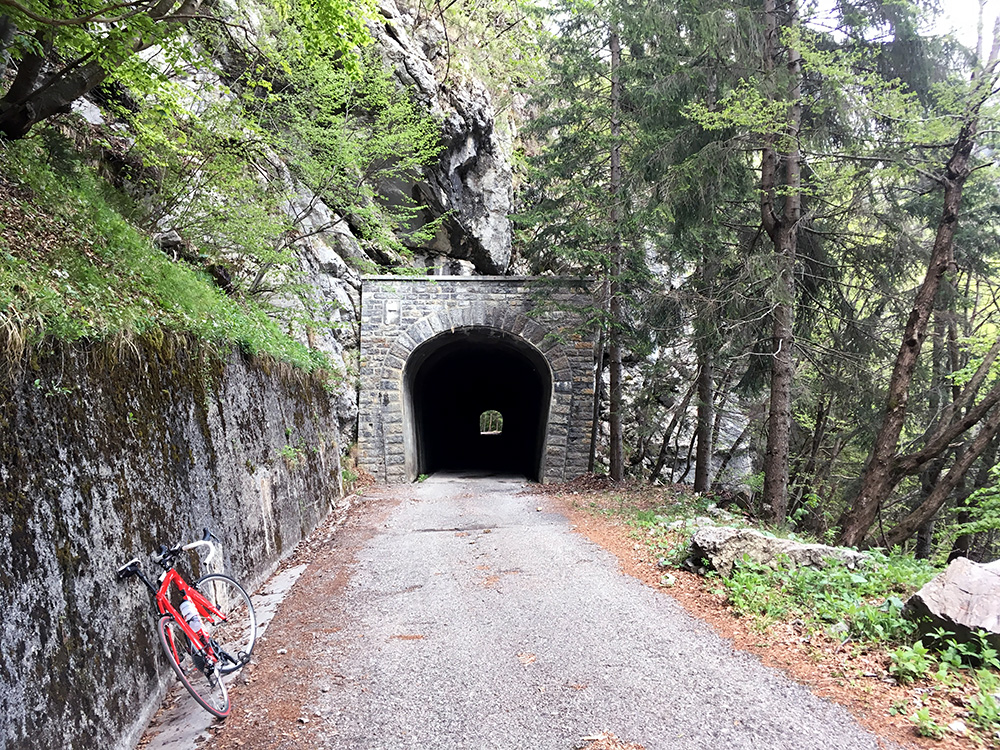
The road is a bit washed out, but unproblematic. There is this nice little tunnel in the middle of the very long climb, but there is otherwise really nothing much to see along this road until one arrives at the Malga Poccet.
The asphalted road ends two hairpins after the Malga Poccet at 1450m at no special place. From there the gravel forest road continues and I decided to go a bit further until I got some views over the edge of the mountain ridge I was climbing up here. A few hundred metres later one comes to a place where it opens up, but it is not nice there and the road ahead was now less good and at first steep and very bad, but then it was back to a bit of the same as before (just about possible with a road bike). I was close to Ricovero Jeluz/Malga Ieluz (1518m) that is where I stopped as one again would enter the woods above and the road was not appealing (only 930m of gravel).
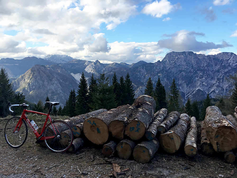
Now the views were rewarding and one here sees the main Carnian mountain ridge marking the border to Austria.
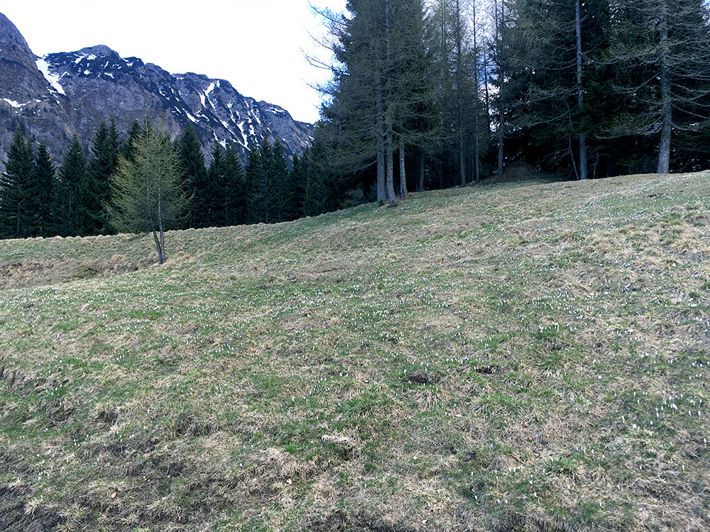
The flowers are covering the the grassy area near the malga, but it looks like spring has only just arrived here and it is still very cold up here.
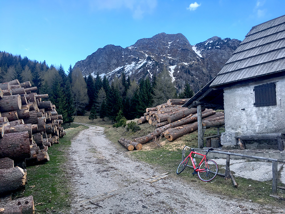
The road ahead up to the elusive (this time) Sella Monte Agar (1702m) and from there the road goes down to Sella Bieliga (1473m) that I tried to reach on the mostly paved road from the Dogna valley in 2015 (but gave up as the concrete ramps was close to 30% steep higher up).
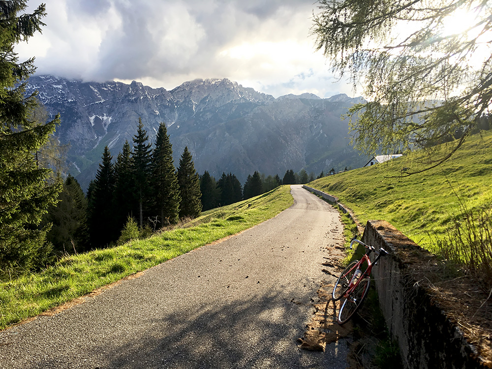
The weather was now quite nice again and helped keep the spirit up and made it a little less cold on the descent. Very nice views from Malga Poccet on the way back down!
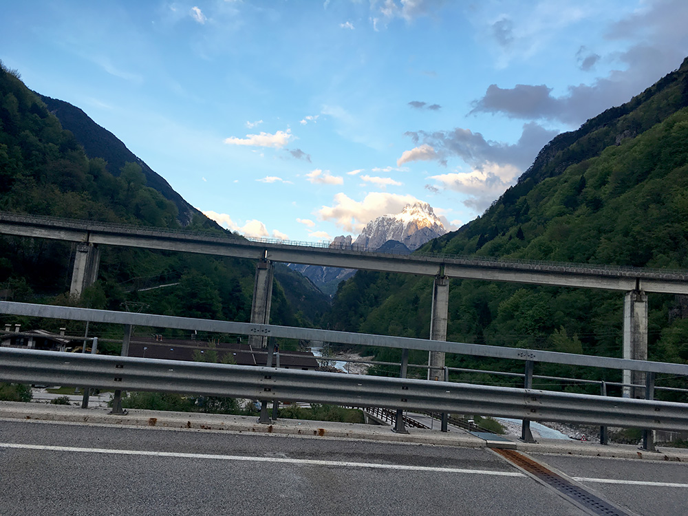
Stopped on the main road through Dogna to take a photo up the valley that leads to Sella di Somdogna/Sompdogna/Rudni Vrh (1392m) where no road goes down the other side. The mountain here is the Jôf di Montasio/Jôf dal Montâs/Poliški Špik/Montasch (2754m) above the Altipiano di Montasio. I was back just before it got dark for dinner. The next day the forecast suggested rain in every direction and I really had a terrible cold now and probably also fever as I felt really bad and shivered in the night.
