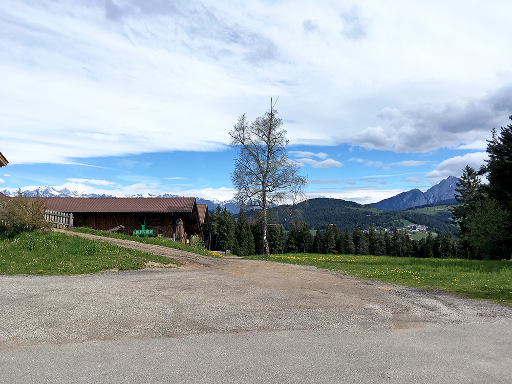
St. Ulrich/S. Ulrico (1344m) above Mölten/Meltina is one of quite many possible ends for a climb from Terlano/Terlan or Unterkreuth/Novale di Sotto (252m) where I started in the evening before. I had hoped there would be good views from this place, but it was not the best place for views. Maybe from the second floor of the gasthof there though.
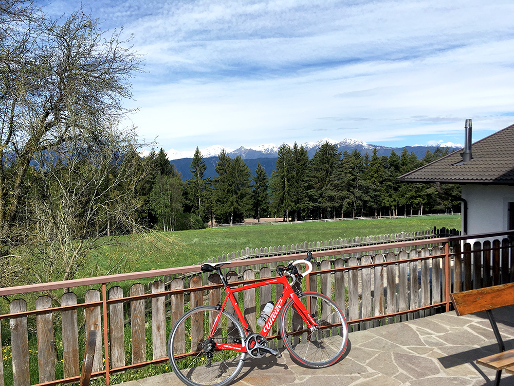
They are not good on naming passes in the Sarntaler alps and there is one obvious pass just where the road to St. Ulrich/S. Ulrico starts – Hohlweg (“Möltner sattel” I call it) (1292m). The highest one could go in a somewhat consistent fashion from Terlano (there is a little descent to Mölten/Meltina) is in the other direction from the unnamed pass to Auf der Rast/Waldwiesen (1568m) (not certain of the exact end of asphalt there), and this place likely have better views.
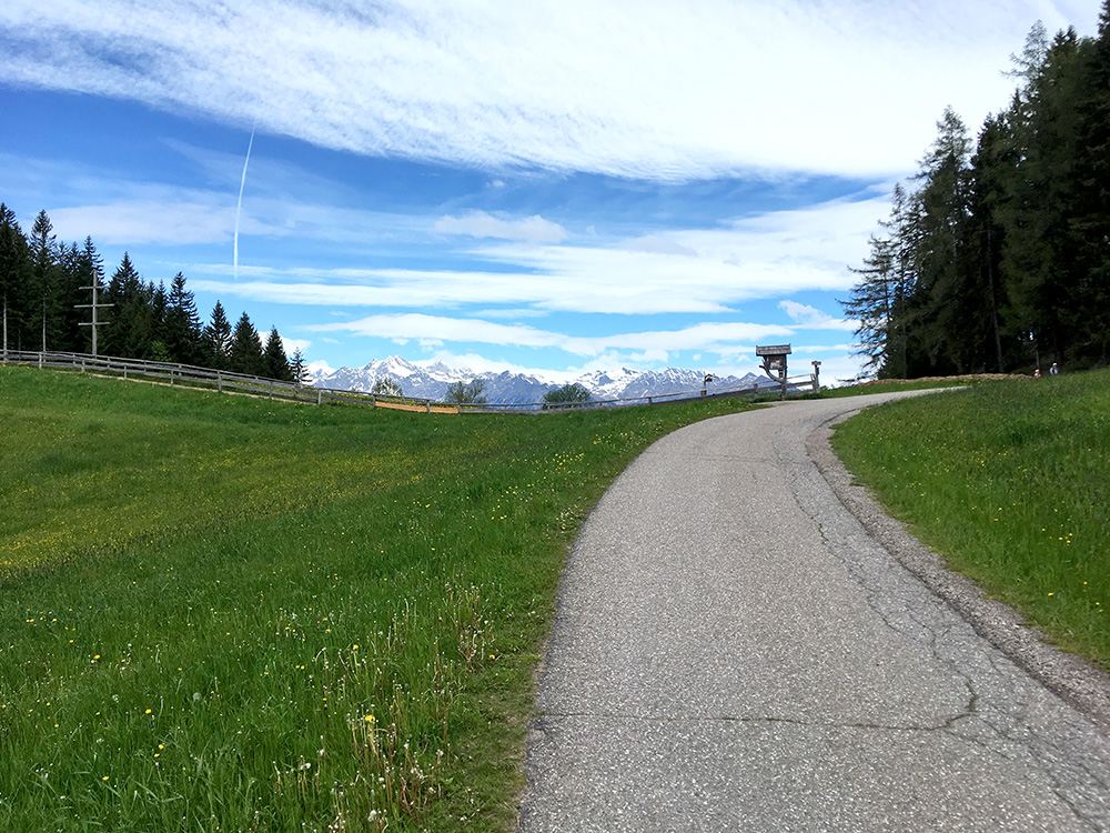
Then it was down to Vöran/Verano and still a bit chilly in the morning, but then the road climbs again and instead of simply following the main road to Hafling/Avelengo, I had noticed there is a fully asphalted “short-cut” road over yet another unnamed little pass. It is a very sweet road and here I am arriving at the pass.
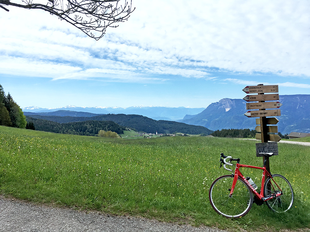
Looking back down over Vöran/Verano here. I call the pass Rotensteiner sattel (1408m) after the location here called Rotenstein. Hopefully some local may eventually come up with some comment on the appropriateness of this.
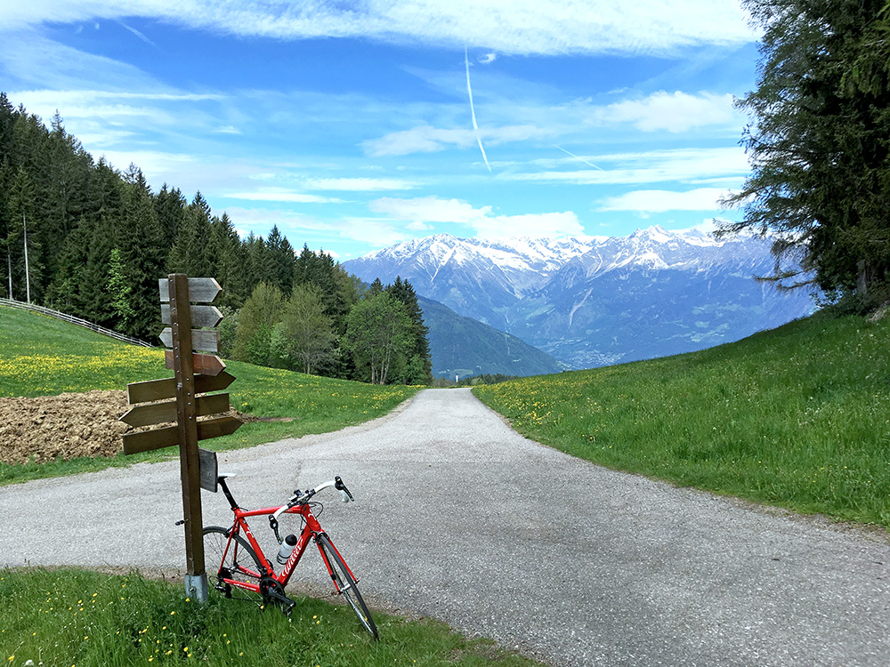
Here looking ahead over Merano/Meran.
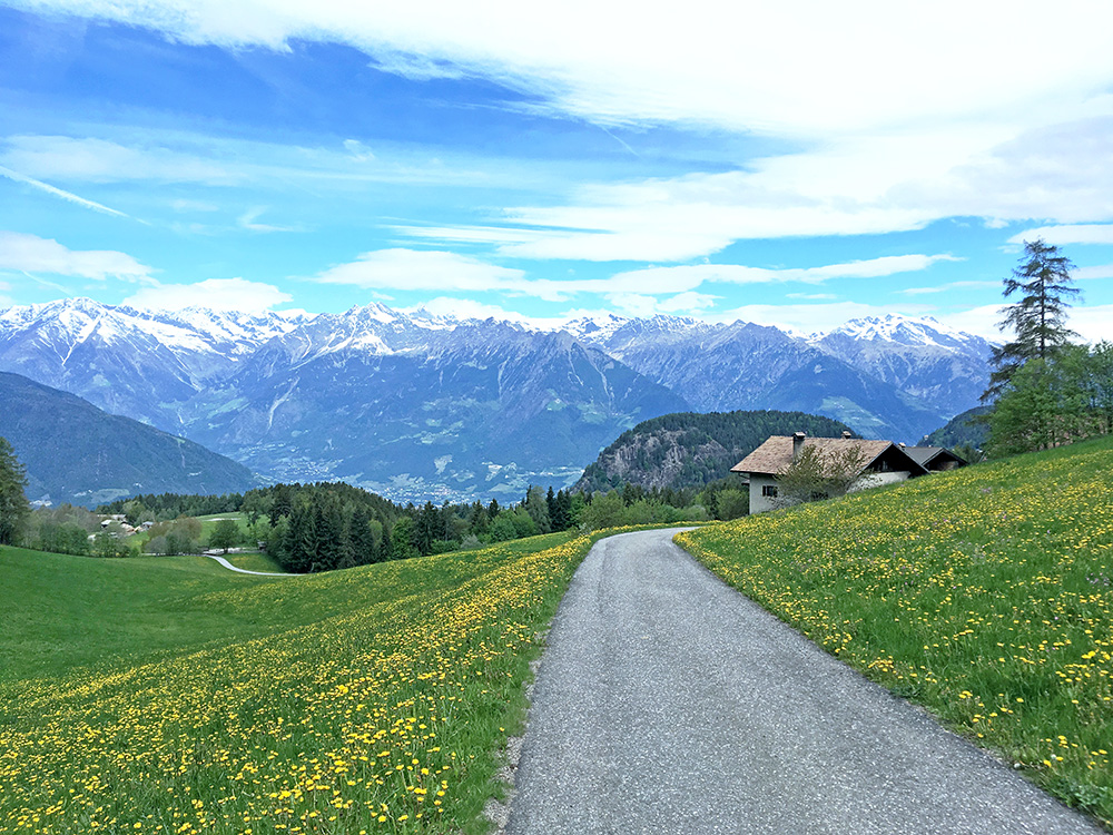
Just a bit further down I had to stop again for yet another photo. This would be a good goal for a climb from Merano/Meran! (the slightly higher parallel (to the east) climb over Leadner Sattel/Leadner Alm (1456m) I have already done on my first visit up here back in 2003 (when I stayed in Hafling for the night). That road was partly gravel and partly concrete on the Hafling side though, but totally rideable with a road bike. Rotensteiner sattel was nicer though.
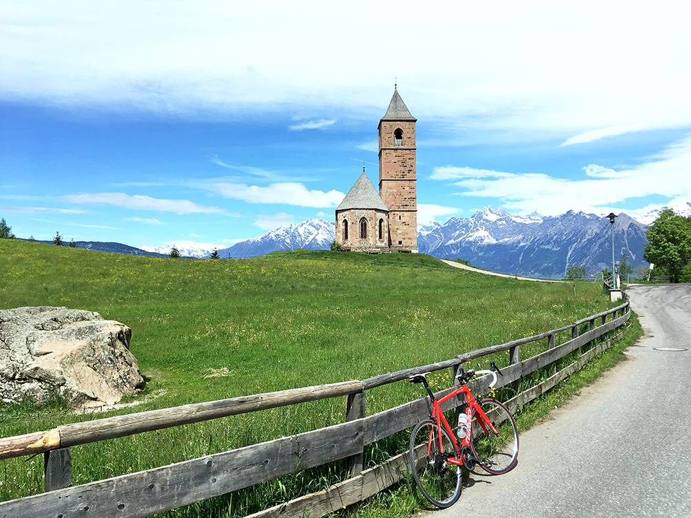
Just after Hafling I had to go up the short road to St. Kathrein in der Scharte/S. Caterina (1241m) as the name has always suggested a pass to me and it is indeed a minor pass, but no paved road goes down more than shortly on the other side. Still the views there were better than I had thought!
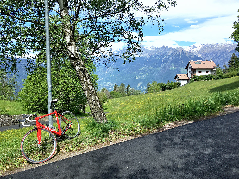
On the other side of the pass looking down at Merano. Some fine hotels are located up here.
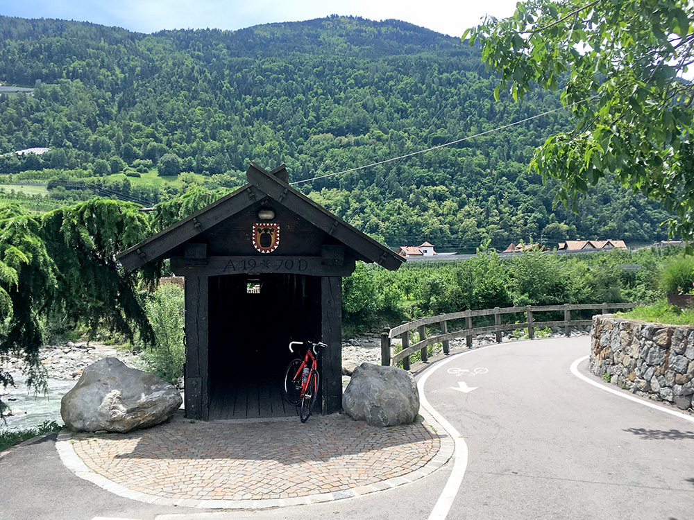
After stopping at Gruber Bike Point (whose water bottle I got on my previosu visit and used on all tours this year). Located oddly in a galleria with jewelry shops next doors, but probably the bike shop in town. Needed to check a clicking from the bottom bracket area and also to change the rear tyre as a hole in it from before made the inner tube expanding there. I had a coffee elsewhere while it was fixed. Then I went out of town on the normal road and as many would do I turned on the bike path, but only followed it a few metres to a narrow wooden bridge over to Forst/Foresta (where they make the Forst beer).
I had tried to find an allowed way up here before, but failed and walked up the steep side. The main road from Forst/Foresta is only disallowed for a few hundred metres for bicycles. I had however looked more closely on maps and found out there should be an asphalted road up there that connected with the main road just after some tunnels and indeed found it and it was good too. (Some construction people had completely blocked the road so had to walk around in the vineyard in one place.) I continued to Naturns/Naturno on the main road as I was in the mood of seeing how much one could avoid the bike paths up Vinschgau/Val Venosta, but was unlucky as just like last May they were re-paving part of the road so on the way back later I took the bike path. The (bloody) bike path is a mix and partly lots of gravel, crossings, switching sides, all kind of users, but it is also good in places (once again I also managed to get lost lower down though it is less easy to do so than higher up the valley).
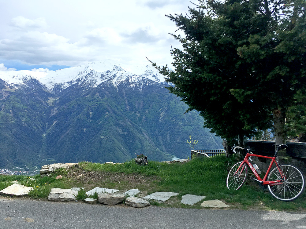
Eventually I reached the Kastelbell/Castelbello (573m) village where I was going for the next climb. St. Martin im Kofel/San Martino al Monte (Oberköbenhof) (1766m) is the longest side road climb in the main Vinschgau/Val Venosta with 1206hm (a small descent on the way early on). (Possibly one could count also Schöneben/Belpiano (2116m) with a climb from Glurns/Glorenza (910m) which is 1233hm.)
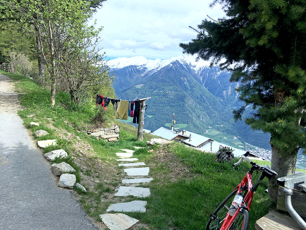
It was a tough climb, but I climbed in a steady moderate speed and got to the very end eventually (in the photo). I had not realised that there would be views from the end of asphalt directly down the valley, but happy for the good views.
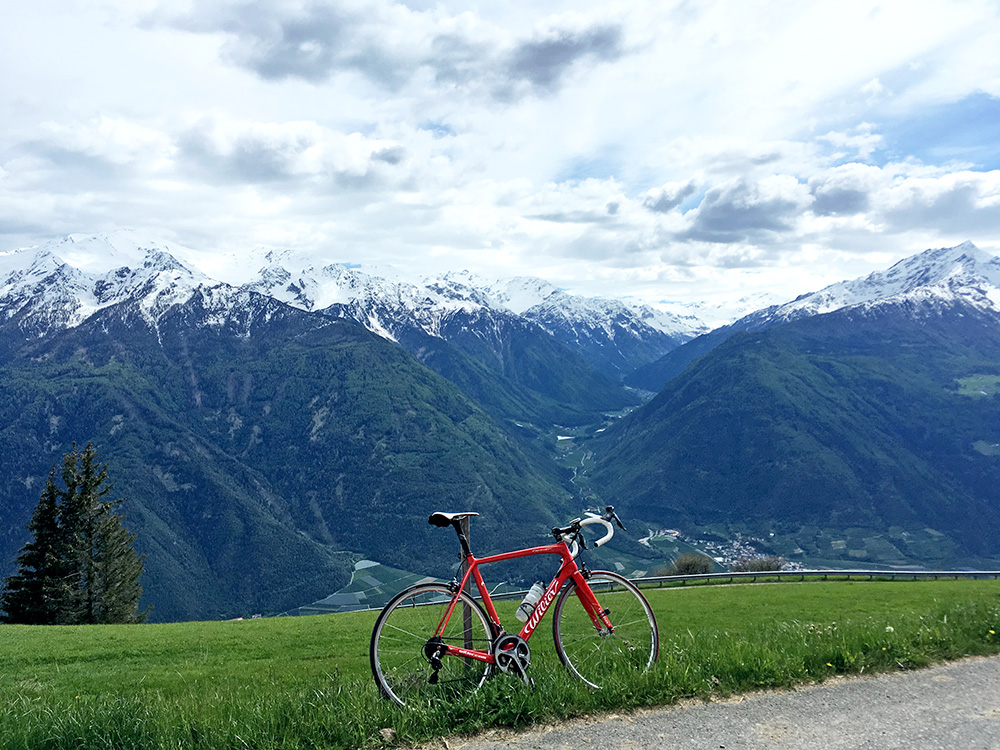
Right across here in the photo we have the Marteltal/Val Martello with a long climb up to 2072m height, that I climbed once in pretty bad weather (rain some of the way, but also some views and it should be nicer in fine weather).
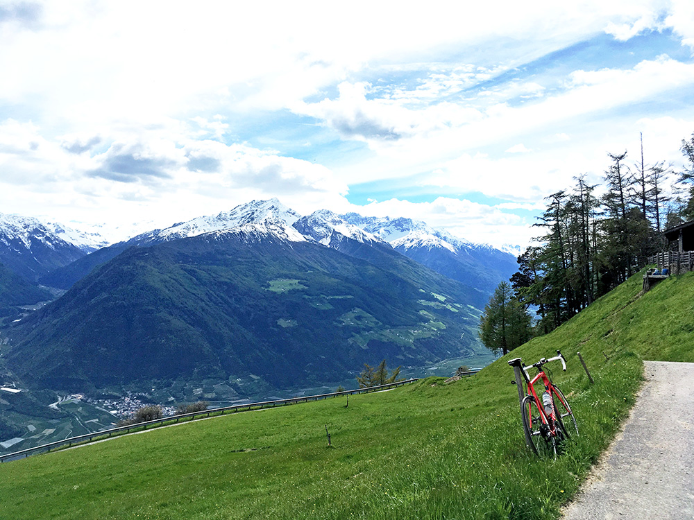
Looking where I came from and the last little ramp to Oberköbenhof.
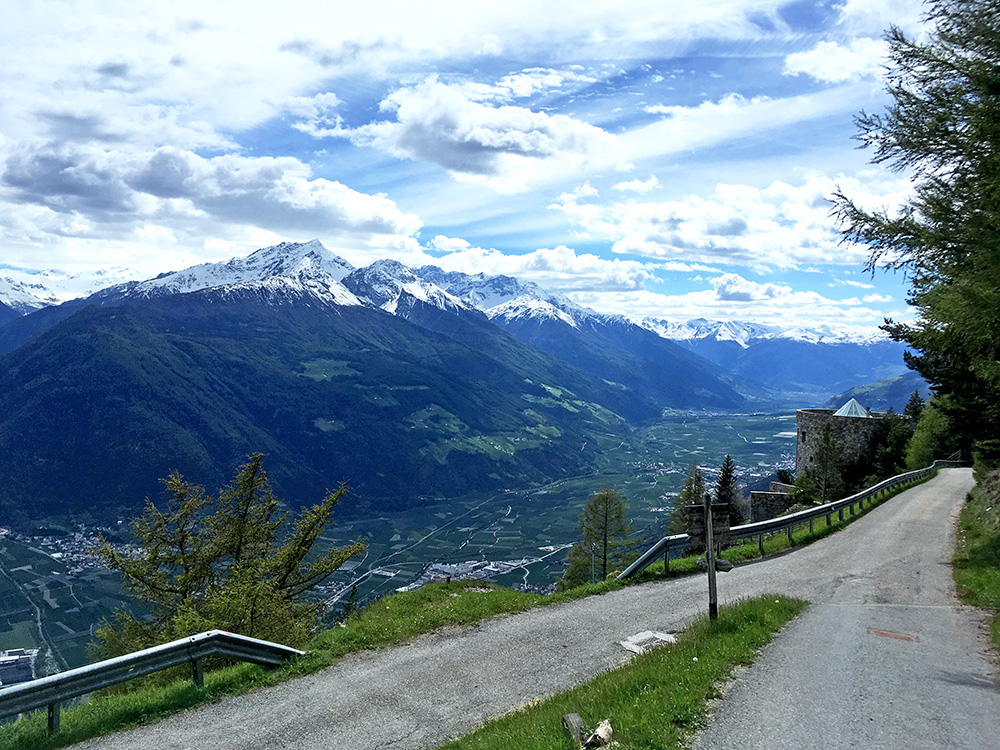
Down the ramp and one see a long way up the Vinschgau/Val Venosta to where the road from Prato/Prad starts to Passo dello Stelvio/Stilfser Joch (2758m). I had thought about going up there on this tour too, but heard that it was still closed due to risk of landslides (even if passable) and anyway was struggling to keep up with my plan, so this climb had to be enough for this visit to the valley this time.
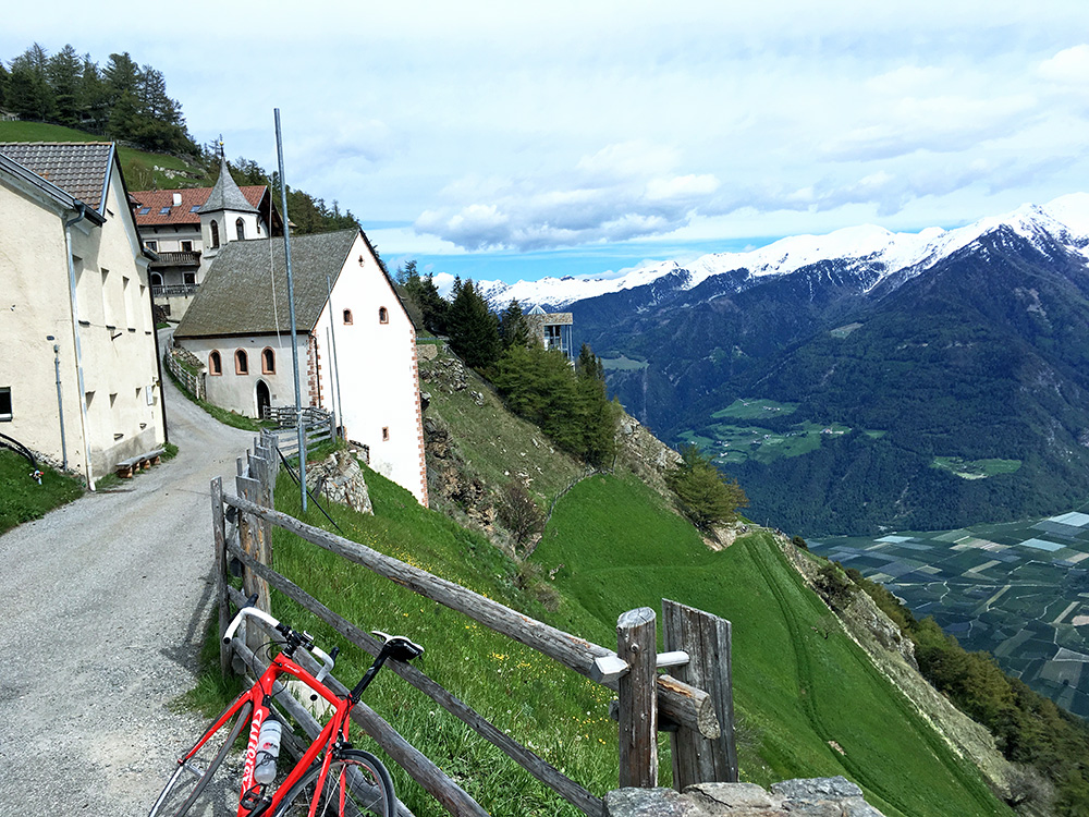
Here is St. Martin/San Martino that one passes by and you can see how steep the side is down here.
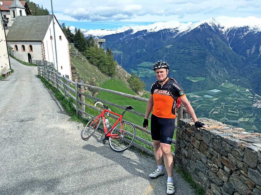
Found a nice man taking a photo of me. Had my Nove Colli jersey on this trip.
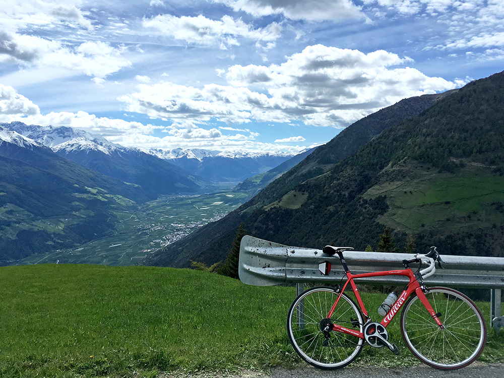
Another photo up the valley from where one might think one has reached the high point of the road at first.
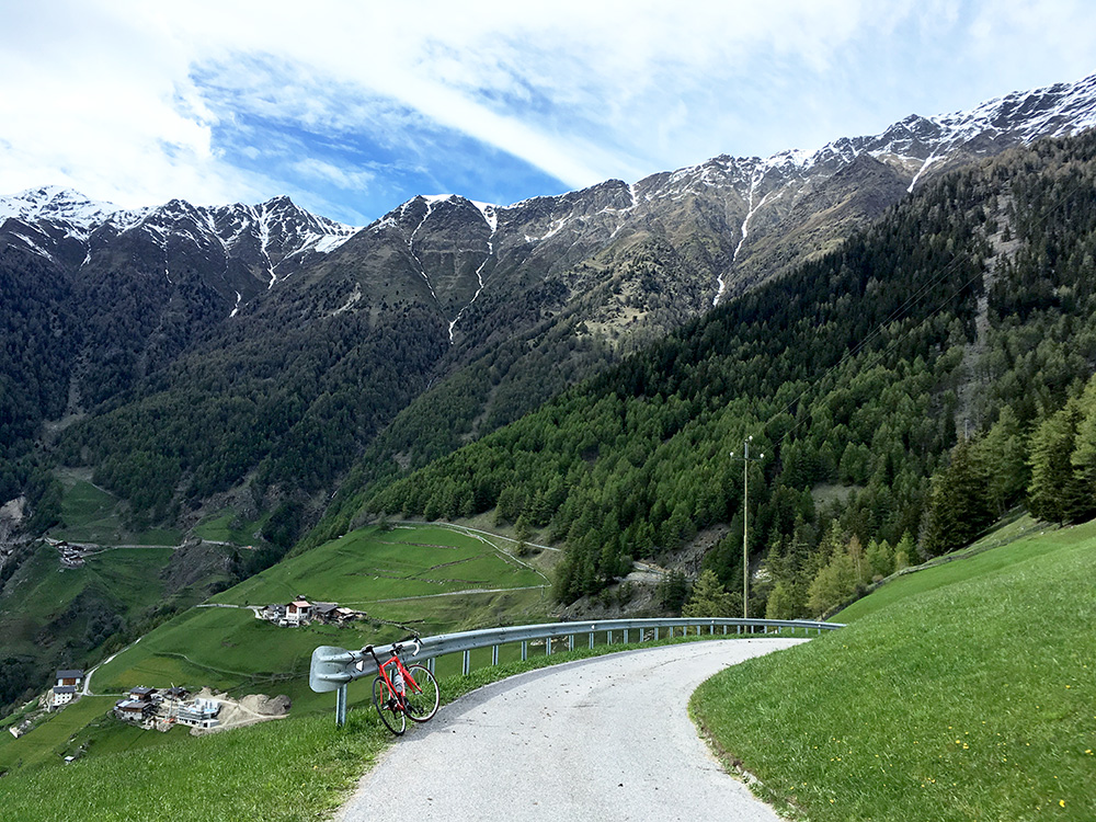
The steep mountains gets steeper and no more roads possible up there (or not easy enough to be of interest). There are some gravel roads and tracks going high up at nearby places though.
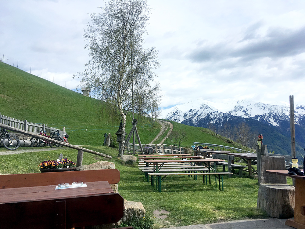
I stopped at the open restaurant just a bit down on the way, but did not stay so long as it was not so warm here. I had, however, a really big apfelstrudel and two holundersoda (elderberry-soda).
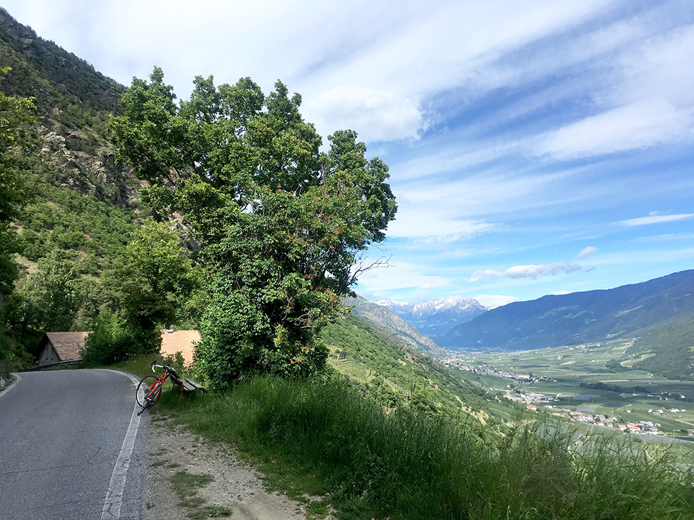
Stopping again at the place where the road climbs shortly before the final short descent to Kastelbell/Castelbello to have a good view down the Vinschgau/Val Venosta. After quite some cycling I rounded the corner to the left at the end of the valley and went against the cycling forbidden signs down to Forst/Foresta and I think no car even managed to overtake me on the short forbidden stretch anyway (slightly lucky as there could be heavy traffic here), but it makes a lot of sense just going down here if going to Lana as I did as one directly at Forst takes off on a fine little elevated road with views over Merano on the way to Lana. (First time I went down here (2003) I think it was still allowed and I think it still should be so.)
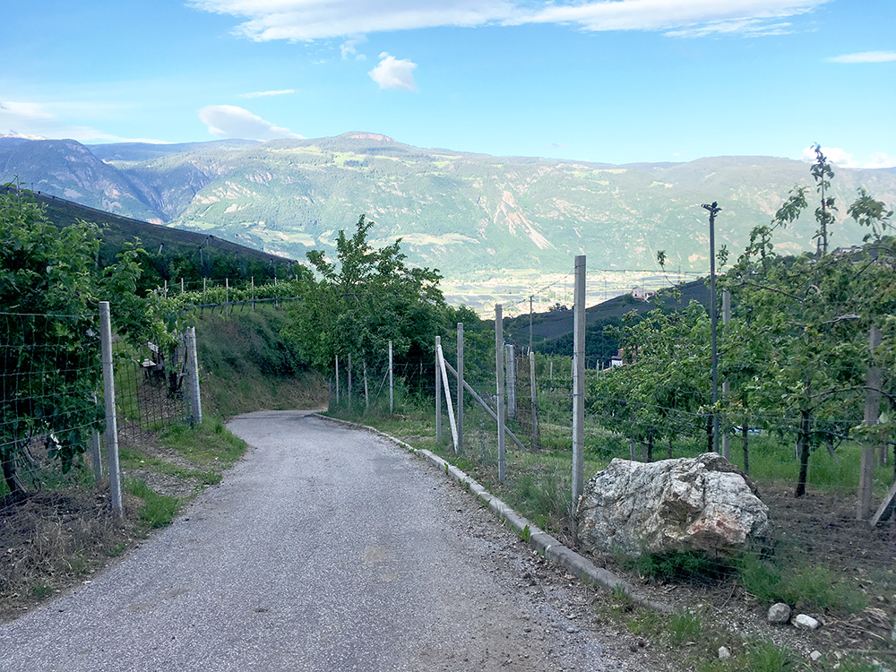
At Lana it was getting late, but there was no way I was going to stay down in Lana and I knew there should be places along the way to stay at so I just continued after a quick coffee stop. I had looked up a steeper short-cut up to Pawigl/Pavicolo and once again it was a repeat of the evening before, but this time it was worse. The nicely asphalted ramp you see here I just managed to cycle up, but had to walk from start when turning off the Ultental road (at the first curious turn-off partly due to the surface). The part I managed to cycle up was around 22-25%, but it was short. Then it looked at first as if the road ended there and that I had to go back down, which I maybe should have done … .
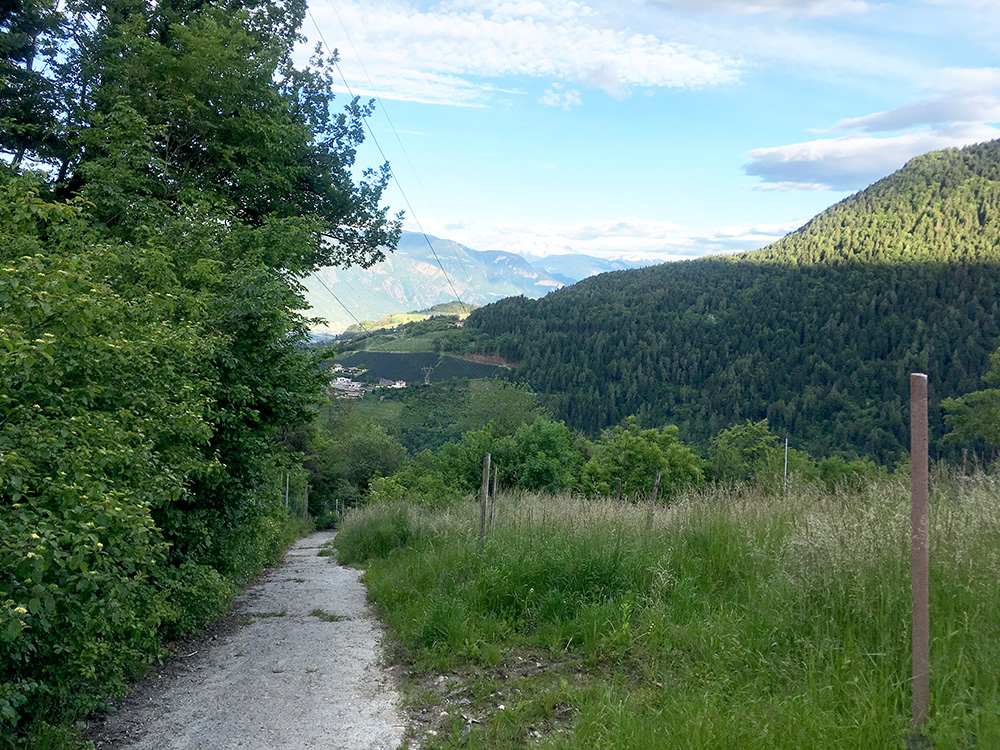
The road continued among the trees but soon closed off to any traffic and it turned to a bad dirt road shortly in the woods, which was the easy part even if I had to walk. Then came the concrete pavement which I had sort of gleaned in my research. But it was from start above 30% and then quickly got much steeper. You cannot really see the steepness in the photo here and I had a very hard time walking up. Walking at max 2 km/h trying to see the percentage which gave odd numbers but most commonly showed 38%, but sometimes over 40%, while I was breathing deeply and my heart beating at maximum. It is not even close that anyone in the world would ever have a chance cycling up here with a road bike and it should be fairly dangerous even for good 4-wheel car drivers, which makes one wonders why it was ever built, but guess they can manage it with tractors maybe.
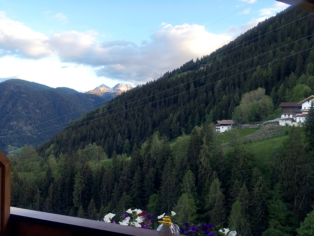
I really had had enough of trying out these overly steep roads now and wished I had taken the normal way up simply. The last little part was possible to cycle to the main road and said hello to a buy there as I continued up the road (had not seen any open accommodation on the way though, even if I saw a sign). I was tired so did not go very fast and soon came a guy on a mountain bike passing me by, which is a bit annoying, of course ;-). So hanged on to him and after a while we chatted a little and it turned out he was from Germany and on vacation here too. He knew there was a place to stay at and possibly sleep at in Pawigl/Pavicolo and we both went there as he also wanted something to drink before going up the mountain and down some path in the late evening (hope he did it while it was still light outside).
Luckily they had a room for me and I got dinner with beer too. It was a fabulous place the Pawigler Wirt was the best place I stayed at on this tour without a doubt! Good prices, better room than anywhere and great food, though I could not quite finish my dish, maybe because of all the holundersoda before. I wished it would be a bit better situated and I would use it as a base for another trip to the mountains, but it is a bit of a way up here (1152m) from Lana (313m) to do the climb every day … .
