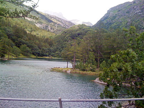
Now we are starting to approach the end of the long tour. Only three more full days of cycling. The weather was okay in the morning and I did not really suspect that the weather would be very different over in France, but it soon turned out to be the case. I continued up via Novalesa (802m) on the narrow and steeper alternative road part of the way up to Col du Mont Cenis/Colle del Moncenisio (2081m). The steepest kilometre is over 10%, but the road is nice and I passed by another cyclist on my way up to Moncenisio (1432m), where the roads drops gently for some kilometres before it rejoins the main road (1319m). The lake at the small village of Moncenisio is nice and I stopped for a photo.
I have climbed the main road from Susa (500m) once before and descended it another time, so I knew it somewhat well now, but the Col du Mont Cenis is really one of the nicest passes between Italy and France so I did not mind taking this road once again. Of course there was a reason for this road choice as I wanted to get to a few more passes above 1600m that I had not done before. It was actually nice climbing up the Monte Cenis this day and I felt a bit relaxed in going on my own again today. As I approached the dam building at Lac du Mont Cenis it got colder and also became obvious that the weather was not totally perfect up here, but I did not really understand what was going to happen.
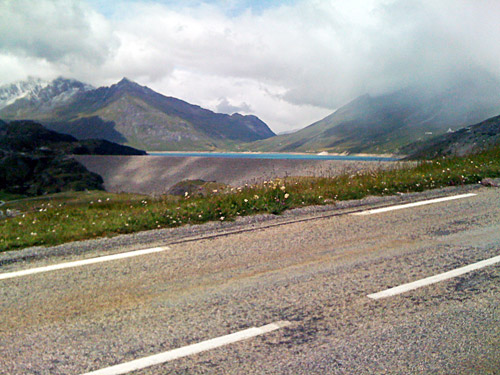
I stopped for some photos (still with my old iPhone as I never had time to look for film rolls in Savona) at the highest point (2094m) along the lake (and one time before). Then, just at the highest point it started to rain and get windy with rain that was partly frozen. All of a sudden I could hardly see anything in front of me as it hurt the eyes to have them open. I just continued with the hope to break through the shower quickly, but it first subsided when I got to the pass height and then I was very cold and now it was downhill to Lanslebourg (1399m). I could see the road up to Col de l’Iseran (2764m) in the distance and it looked like it was all snowy up there. Quite a difference from the Italian side. It was cold as if it was in early Spring, later Winter and nothing reminded me of Summer over here in France.
I was very cold when I got down to Lanslebourg and was determined to get in and have a lunch somewhere here. It was 12 degrees outside down here, but only 5 degrees up at the pass. I first found a shop so I could get a film roll, but they only had ordinary film rolls, but I got a Fuji standard film anyway. Then I went to a crêperie of some sort. I had a warm crêpe and some odd tea (a long list of odd tea flavours (similar to what I had seen in Switzerland at some places).
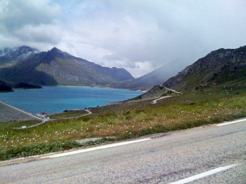
It was not particularly warm inside here though, so I was still feeling a bit frosty when I left for the cold continuation down toward Termignon (1336m). I had asked at the shop in Lanslebourg if the man there thought the road up to Bellecombe/Plan du Lac (2370m) could possibly be free of snow. He thought it would likely be snow up there, but that maybe the road would be cleared, but also thought it would be like 2 degrees up there. It all looked quite correct from Lanslebourg, where everything up the mountainside looked snowy and cold. The weather did not look promising either with clouds everywhere.
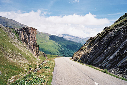
But just as I turned around the corner of the mountain above Termignon, I got a glance up to Bellecombe and it looked sunny up there and not all snowy white. All right, I had actually given up on trying to climb up here until then, but decided that now I better give it a try and it was anyway horrid headwinds down the valley and cold as hell, so figured that going uphill would be better as long as I was on my way up at least. I was also worried the weather from above would come down here, but as I slowly started on my way up, the weather only got better. The climb is not so very steep (slightly easier than Alpe d’Huez), but it is a steady climb broken with a little dip after 8 km when you get out of the woods and turns over on the other side of the valley to climb up over the ridge up at Bellecombe in order to avoid the Gorges de Termignon that offer no road or track up here.
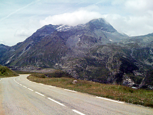
I spent some time thinking about whether or not this place should be considered to be a pass or not, but came down on the side of thinking of it as a pass. The reason is that you go up the Chavière valley here and then cross the ridge which has heights up to 2475m on the side down to the gorge (and much higher on the other side), and the passage takes you down to the Vallon de la Rocheure. Just exactly where the pass point should be located is not too clear and I think it makes most sense to put it at the top of the passage (2370m), simply. So if you follow my reasoning here you will have climbed one of the less than 100 asphalted road passes above 2000m in the Alps when going up here.
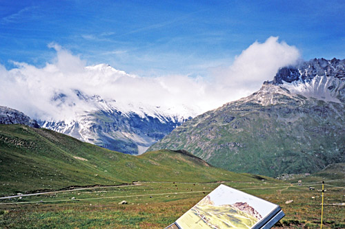
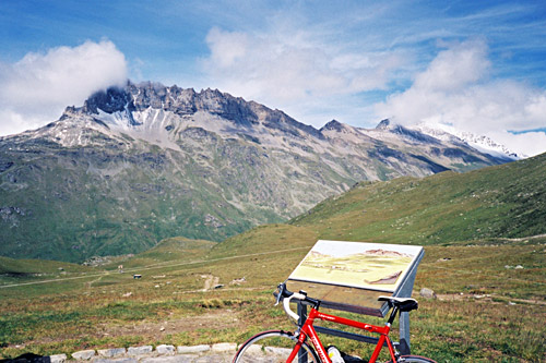
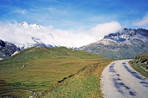
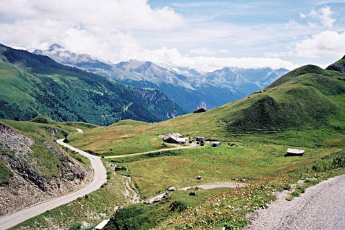
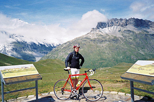
Of most interest is however how beautiful this climb is when you get up to the top! It is one of the climbs in the Alps that offers the best of views at the top – quite outstanding! It was very nice weather up at the top and 13 degrees despite being 1000m higher up than Lanslebourg where it was colder and more windy. I stopped to take plenty of photos before going back down. On my way back down I met some other cyclists on their way up. Apparently the weather was going better in the area now. Bellecombe is the parking place before Plan du Lac, but cyclists can continue on the road going up and then down the other side. I did not bother to go down to the end of the asphalt, but if one was in the mood of walking over some great pass areas, one could get over Col de la Vanoise (2522m) here (but it is a long trek, I believe, with a road bike).
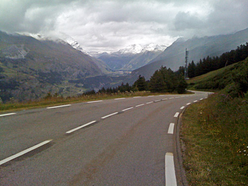
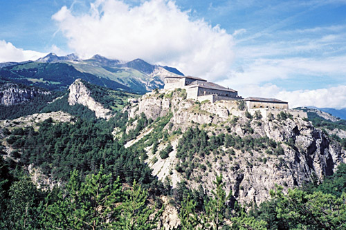
Back down in Termignon, it was slightly warmer than before, but the horrid headwind continued to make the descent through the valley unpleasant. I was lucky to soon be overtaken with a gang of cyclists coming down and I made sure to hang on to them, but they soon turned off the road again to Bramans (I believe). I continued down to Pont du Nant from where one had good views of the Fort Victor-Emmanuel on the other side of the valley and I had a photo. There were a lot of people here and apparently there were some event taking place. The road is very flat from Termignon down to here and I had thought to instead take the road over Aussois up the mountainside, but was not in the mood for it after being a bit frozen when coming back down to Termignon.
I went down to Modane (1073m), where I stopped for a coffee and cake. Yes, now I remember – I now realised I was back in France for real. I went into the bakery and wanted to order a cake and coffee, but they told me they did not serve coffee, so I would have to go over to the café next doors, but they had no pastries, so I asked if I could buy pastry to bring with me, but was told to go and order pastry from the café so they would get over and get for me. Then went to the café where they told me to go back to the pastry shop to buy something myself first as they did not help ot customers with getting anything to their coffee, etc. French people can makes easy things complicated! Finally I got what I wanted, but apparently it is odd to want both coffee and something to eat at the same time … .
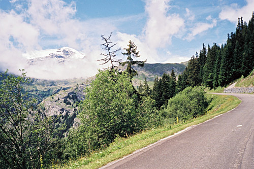
I continued down out of Modane and soon turned off the road at Freney/La Corbière (1030m) which was very nice as I escaped the damned headwind. The reason for this was to visit another of the obscure +1600m asphalted passes I still had left to do in the Alps. Time went away quickly for me this day, but I did not care much about where I would end the day, only it was not at the bottom of the Maurienne valley, where it is not so fun to stay. The pass up here is simply called Le Col (1633m), just like a tiny village on the way up here.
I was a bit confused about the way up here and did not want to look on the map, but eventually found out the correct road by going through St. André and taking to the right. I had seen the pass when going down to Modane in front of me, so I knew the direction. The road up here is quite nice, good and not much used. Half-way up to the pass I found a small hotel that looked ideal to stay at if the time would have been right (l’Auberge du Col). I stopped shortly as there was a water tap here and then went up the last part to the pass. The pass is slightly off the road and I could not see any sign. (It could be argued to be located at two different nearby places (close to the road where gravel tracks went off).
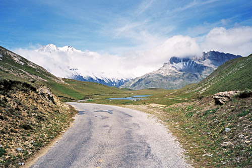
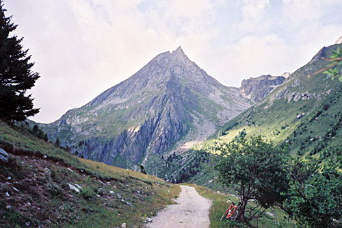
It was getting a bit late and I wanted to get out of the Maurienne valley before I stopped for the day, but it made no sense stopping at this nondescript col when the asphalt road continued up the mountain. I decided to follow it for s long as it was asphalted and it is the steepest just above the Le Col. But then it got flatter as it followed the mountainside around a corner of the mountain, before it eventually reached l’Orgère (1935m), which is what the road is sign-posted for in St. André. From here a gravel track continued a bit up the mountain and I followed it some metres to get a better photo before I returned back again. It was very nice up here and the detour was pleasant! I only wished the road would have climbed above 2000m (would have made it more interesting still). Nearby Plan d’Aval goes to perhaps above 2000m asphalted from above Aussois (must try that road another time).
I took the same road back, but could have taken the D215 above St. André to gain some distance on the way down the valley, but was not sure and thought I would gain as much time as it would take to check the maps (which may be an argument for a GPS, but it is so boring with GPS computers and one needs a charger). Soon I was down in the windy hell. I just simply could not reach 30 km/h no matter what the slope of the road down the valley. I was telling myself that cyclists who went here should be examined – I called it the valley of hell! It was a bit fun when I found a website devoted to the “valley of hell” as being the ultimate valley for cyclists (well, there are arguments with some of the most well-known climbs around here).
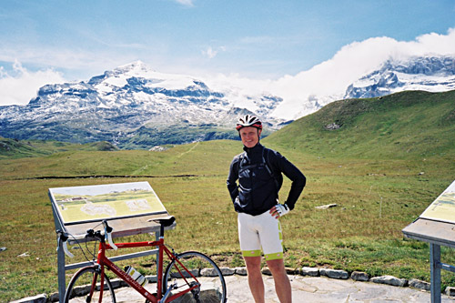
I just went on determined. On a fine day one could have taken one of many detours and alternative roads on parts of the stretch, but I just wanted to get out of here and there were not much traffic on the main road actually. I passed by St. Michel de-Maurienne (718m) where the classic climb up to legendary Col du Galibier (2642m) starts. I was actually on my way to Col du Galibier, but was going to try an alternative road up there from the Maurienne valley via Albanne.
The Albanne road starts lower down the Maurienne valley and thus I had to go down to Pont des Anglais/Route des Karellis (626m), quite a bit further down. It was now late and I guess after 19 in the evening. The skies were grey and I were exhausted mostly because of the wind down the Maurienne valley (the climbs felt easy by comparison). One passes by an industry with odd fumes, but the road up here got me in a better mood as it is quite nice with many serpentines and the views improves quickly. It is also decently steep at a little over 8% on average. I just crossed my fingers hoping I would find a hotel in Montricher on my way up, but it all looked a bit uncertain. When I got closer I saw a very old sign announcing a hotel and hoped it would still be open.
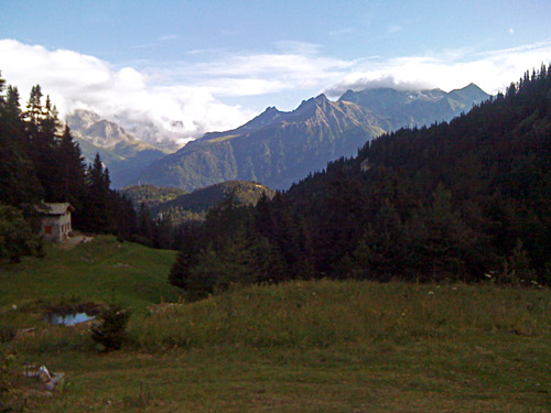
I again saw a sign for a hotel when getting to Montricher and turned in there and found the place, which turned out to be a nice place with almost no visitors, but with good food and superb views over the Maurienne valley. Maybe there was also a bed & Breakfast in the village, but not sure. (It was a bit cold up here this evening.)
