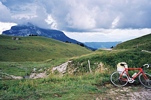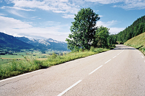
This day actually started quite good with a nice breakfast in Lans-en-Vercors talking to some guests staying there. Then it was a very nice and easy climb up to Col de la Croix Perrin (1218m), but I stopped just before to get to another nearby pass. For some reason collecting seemingly easy to get extra passes usually involves more trouble than one will expect in planning. The road up to Col de la Croix Servagnet (1235m) was indeed asphalted, but very badly and I was afraid of damaging the tyres. Also the pass signs only suggest ‘Croix Servagnet’ and not the whole pass name as Club des Cent Cols have listed in their catalogue over the passes (nor is it given with the full name on any map I know of), but it is a pass.
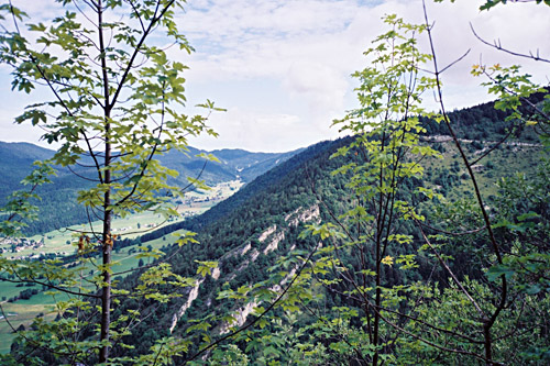
I got over to Col de la Croix Perrin (1218m) and started out on the narrow forest road that starts here and which climbs a bit most of the time. It turned out that this road was also very badly asphalted for the most part and later even had short sections without asphalt. Anyway it is moderately nice even if it runs through woods as there are some views later on. Eventually one comes to a turn-off for one of the last passes on my list of asphalted passes above 1600m and that is Col de la Molière (1632m). The road is bad up here too, but now quite steep, but it is short. From up at the pass one would have great views on a fine day. This day was fine, but there were some light clouds lingering about that obscured most of the views unfortunately.
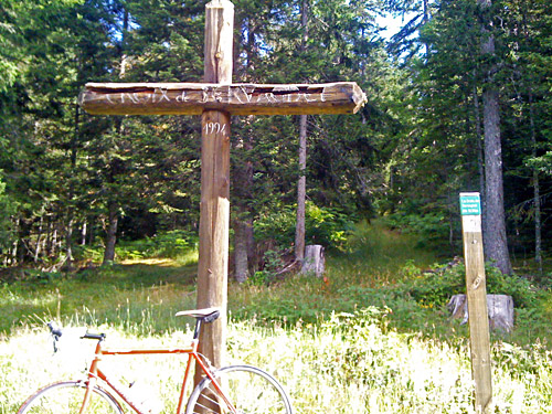
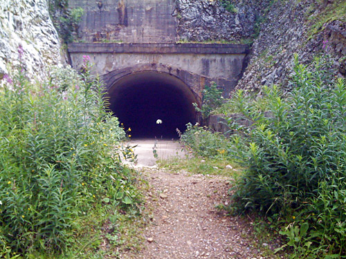
I went down and continued on the forest road to the end of the valley up from Autrans to Pas du Mortier (tunnel) (1389m). This tunnel and road is much talked about among cyclists, who generally are very unhappy that it is no longer a route that could be used, but also happy that the tunnel could still be passed through so one can get to see the other side. Some years ago they blocked the opening partly, but it is still passable. The reason this road is no longer usable is a severe landslide on the other side not far from the tunnel that happened not so many years after the road had been opened in connection with the Olympics in Grenoble (if I remember correctly).
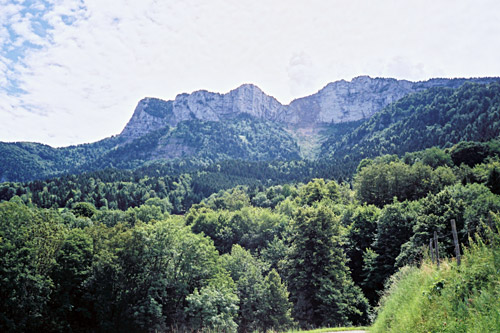
The damage to the road and the situation was so serious that no attempt has ever been made to restore the road. And if you look at the site and the map, you will wonder why they ever thought it would be possible to have a road here without it getting destroyed sooner or later. It truly seems very unrealistic that this road will ever be repaired again, but there has been plans of different sorts. Naturally I wanted to get through the tunnel to see the other side too as the rock walls on that side should look great. I cycled through the dark tunnel, but there are some stuff on the ground nowadays so I was lucky I did not have an accident or a flat.
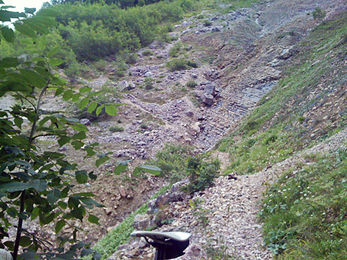
On the other side there were more rocks, stones and debris on the road than I had imagined (I guess it has increased from photos taken earlier that I had seen). Several people were here looking too, but most soon turned around. I had tried to determine how dangerous it would be to cross the landslide area, but had a few very different suggestions when searching online. Someone said it was possible and that cyclists pass by here now and then. Another said it was suicidal and that only irresponsible people would try it.
This all just got me curious as to what I would think of it myself. Also, I could potentially save a lot of time if I could get down this side as it would be a long way around otherwise and I was going to a place nearby at the bottom anyway. There were big boulders on the road and at some points I had to lift my bicycle over them to be able to continue, then I came to the place where the road simply is all gone and no trace is left of it. I noticed rather quickly however, the well defined path down here and now decided to continue and see just how dangerous it looked. Well, it did look a bit dangerous, but I also noticed that it was indeed a very short distance that was very dangerous and thought that it must be doable if I am simply very, very careful.
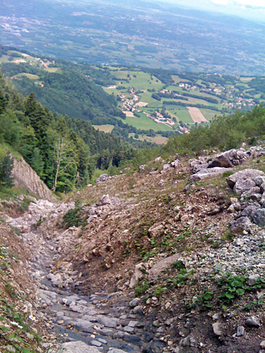
I had thought that it would be more scary and I can be a bit scared of big heights and scary situations, but I just did not find this very scary. There is a stretch of perhaps 100m where it is not recommended to fall as one would likely not stop the fall very soon … . In the photos here there is absolutely no justice to the steepness in real life (it is always like this that photos looks flatter). But there was only one place where the ground was not pretty safe and that was just in the middle, where I had to be damned careful, but even so I stopped for a photo right there. The main problem is carrying a bicycle with you, which makes it more difficult to keep balance.
On the other hand it felt really safe with road shoes here with SPD-SL cleats as they really dig into the clay here and probably get you a better grip than walking shoes. I did not dare to change to my Nike running shoes here. The back side of this is that I had to clean the shoes cleats a bit so I could continue cycling afterwards. But it all went fine. This does not mean that I recommend this passage to anyone. It was a bit hard getting up the steep slope on the other side, but once up it was easy going and soon one could bicycle again. Quiet lovely views around here.
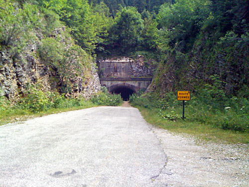
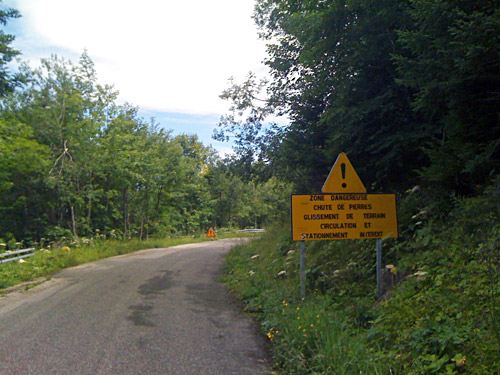
Just as I turned around the next corner an older couple had put up a table on the road and had a lunch picnic. I stopped to change a few words before I continued past a sign saying the road is closed, forbidden and that the landslides is not stable. I also read that this path changes every now and then in the landslide, so I was a bit worry partly because of this when crossing here and also since it has been wet and things tend to move when they dry up.
Another bonus going down here was that I passed by yet another pass on the way down, namely Col de Montaud (1069m). This pass is properly located on a track (usable only with forestry vehicles) very close to the road, but there was actually a pass sign also by the road. After a while I got down to the first houses and it started to be warm outside, but kept my wind jacket on until I got down the valley on the steep road to Veurey-Voroize (195m), when another bicyclists wondered where I could have come from with a wind jacket on as it was like 30 degrees down here. There is quite arguably another unnamed pass up at La Charrière (700m) (below Montaud) on the way down here (the road goes up slightly at this place).
I went straight over (after taking off my wind jacket) to the other side of the big valley out of Grenoble to Le Chevalon and continued in the direction of Grenoble there. I turned off the D1075 before St. Égrève (200m) and got up to the La Monta area of St. Égrève, where I found a restaurant, which I was looking for and stopped. But the restaurant was simply too expensive to my tste and all things seemed to take forever there, so I went on up to where the next climb properly starts in La Monta (242m). There was only a worn down hotel or only bar. They had absolutely nothing to eat, but at least I got a coffee and got washed up and put on sun cream, I think. I also looked a lot on the map trying to decide to which way to go.
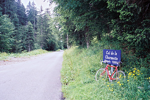
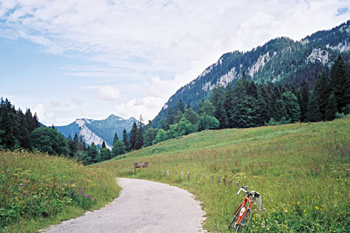
The only thing I knew was that I was going to get up to Col de la Charmette (1261m) this time as I missed it the year before. Ideally I would have wanted to get over the pass as it should have an exciting north side, but it is apparently not all surfaced. The south side should be the hardest climb even if the north is quite steep at the start and then not so good surface. This pass has been used in a classic bicycle race many years ago, but few uses it today. I started out in good speed and kept a good speed all the way up really. Maybe I was thinking that this was about the last real climb this Summer so I could just go all in now. Anyway, I felt good, but the road was like it would never end and it only keeps its steepness all the time. Worst of all is that it is is quite straight up all the time with nearly not even a bend anywhere.
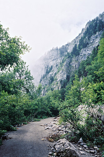
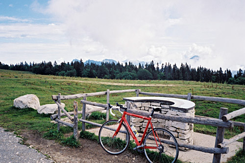
There was a little road work at one place, but otherwise this side of the road is in a very good condition. Once up at the pass I stopped for photos and wondered if I should try and walk/bicycle up a track and path to the Charmant Som above (home mountain of Grenoble). I had tried to determine beforehand how difficult it could be to get up there from here, but had not really gotten clear on it. I had decided that I should climb up to the Charmant Som too as there is a place that is arguably a pass up there too above 1600m and that is the pass one would climb if going up from here. My idea was to go back down to a crossing half-way up and take the asphalted road back up via Col de Porte (1326m) to the mountain.
I was just about to do so when I asked some people who had been out walking in the area what they thought about the track/path up to Charmant Som. Unfortunately the man thought it would almost be possible to cycle part of and that the walking up there would not be too long or hard. I really wished later on that he had not spoken so well of the path. Because for some reason I got into explorer mode and thought I should try it out and that it might be a smart short-cut. Well, it was most decidedly NOT a clever short-cut. It was not possible to bicycle even one metre until reaching asphalt up at Charmant Som. Moreover, I got confused and thought I was supposed to follow the track as far as possible, but should rather soon had turned off at a path sign and used a tiny path up instead.
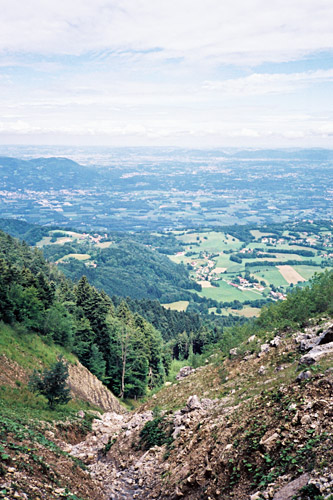
I continued on the track walking and then suddenly got a flat on my rear tyre without sitting on the bicycle. It was too wet and dirty here so I did not care about fixing the flat now and simply continued. After a while the track only got worse and eventually it started to be almost invisible and split up into two. One climbed up at ca. 50%, so I did not wanted to try that and had already climbed up ramps at much over 20%, but after a short while there it all just came to an end where there was no way ahead and not even a path.
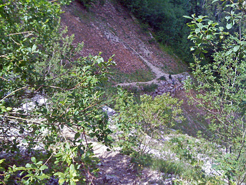
I went back a little and then just went up through the woods on what at first looked like a path that I hoped would join the steep almost invisible track, but all just became invisible after a while and in order to get up I had to drag the bicycle up through the woods with an extreme slope (like 45-50%). It was a disaster, but I knew I would get up there somehow if I simply continued as I knew more or less that I was going in the right direction (there was no choice in going up anyway). Now I was certain to have made a mistake, but too late now. That is always the problem that one tends to go too far before one realises that one made the wrong decision and then the wrong decision is still the best to continue with. So it goes when trying to make short-cuts.
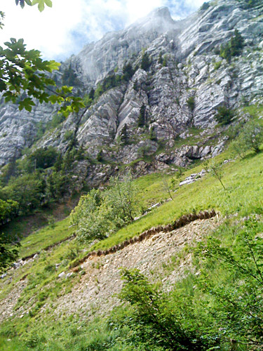
It was not like I got up to Charmant Som in an easier way by not taking the road alternative. I was happy when I suddenly saw a good track starting from where I came up. It was still not good enough for cycling on with a road bike, but it was now a relatively easy walk on an almost flat road over to the asphalt road. The track were full of stones and was not so easy walking on either and just before getting out on the asphalt road I had to climb up on the grassy side balancing with the bicycle to avoid big water beds on the road.
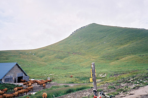
I was quite tired when I got up to Alpage du Charmant Som (1640m) (the pass).! I walked up the little asphalt road to the Chalets du Charmant Som (1669m) and the chalet was an café or restaurant. I went in and asked to have a coca-cola and a piece from a nice looking cake and sat down looking tired and gloomy inside. I explained I needed to wash my hands as I had been into problems and was also a bit afraid of not being able to fix the flat because I think I had no longer any working extra inner tube with me and only one or two repair patches. I was so down – would the whole trip end in an anti-climax like this? Well, I just needed to get a little energy and I was surely going to do my best to get a grip on the situation. The walk up the path from was suppose to take a bit over an hour, but for me it took an extra hour. I looked on my cycling clothes at one point and noticed I was all drenched in sweat, more than usual. I guess a cycling friend is right when he noted once that cyclists are so effective when cycling so to really spend energy they would do well to do other training (like this perhaps).
They were a bit hesitant at the chalet of telling me where I could wash my hands, but said we would get to it later. All right, I slowly and extremely carefully patched the flat tube and made my best to get some pressure up and it all went fine. One of the guys up here (Summer workers) was from Paris and had actually been learning Swedish for a year, so he was excited when he found out I was from Sweden as he could not remember having seen anyone else from Sweden up here this Summer. We exchanged a few words in Swedish (he had still much to learn … and it is a difficult language, I guess). He showed me to the place for washing my hands and it was from a big tank outside in the backyard. Apparently this was the only water they had up here.
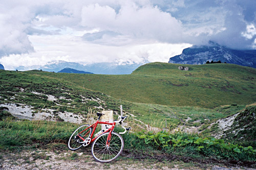
Guess it all took an hour before I took off feeling a bit more happy again. I was also happy since it looked like the weather was worse in most directions than up here. I had some photos and cleared my cycling shoes cleats and got on my way down to Col de Porte (1326m). It had been a strange day and I had not gotten very far, but I had at least gotten three more passes above 1600m and seen the famous Mortier pass and also the charming Col de la Charmette. So despite all hardships and weird things, I was somewhat happy with having it all done. No more +1600m passes anywhere in the Alps to do! Well, I had forgotten Col du Lachens (1628m) recently discovered by the Club des Cent Cols near Gorges du Verdon (where I had passed by closely unknowingly in 2004), but apart from that pass, I actually do not think there is any more pass that is asphalted above this height in all of the Alps that I have not been to yet. Some roads may get asphalted though and there are some border-line cases (esp. where the road goes higher than the height it has at the actual pass, like Hochrindl-Alpl (1529m), where the road climbs to Hochrindel-Kegel (1618m)).
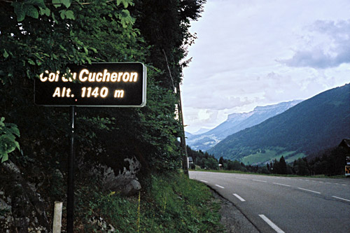
I continued down the Chartreuse to La Diat (795m) by St. Pierre-de-Chartreuse. Here the climbing starts somewhat steep up to Col du Cucheron (1139m), where I had a last photo for the day. (There are some steep climbs from La Diat or nearby and I had hoped to get up an obscure road to Habert de Billon (1266m), but it was getting a bit late and I had made up my mind that I was now basically just on my way back as quickly as possible. I had called my sister earlier in the day and said that I would likely take a train in the evening up to Chamonix, but as things dragged out on time, this was not really a very good solution (and maybe I would simply not have gotten there this day even late).
So I wanted to stop for the night somewhere within easy reach of Chambery, without having to go down from the mountains. After Col du Cucheron it started to rain a little again and now I was not much in the mood of getting much further. I took the higher road down to St. Pierre-de-Entremont (640m) and stopped by the first hotel I saw down there. There were many hotels at St. Pierre-de-Chartreuse, but it was a bit early to stop there and it looked too touristy to me. This place offered simpler accommodation as well as normal rooms with breakfast. It looked simple and the prices were very good even for a normal bed & breakfast. I also had dinner here and it was really very good and the lady of the house was very nice. It was just perfect. I went out on the village later to see if there was any nice place where I could get a beer and ice cream, but it seemed like the few places open were closing down early here and I went back. They were just closing down where I stayed too, but they were nice and let me have a nice dark Grenoble made beer and an ice cream.
