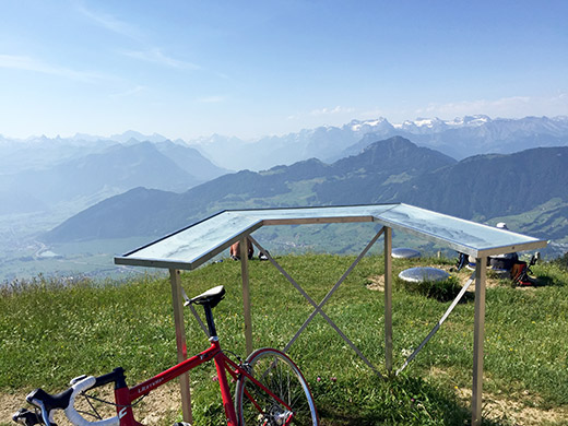
Another terribly hot day. It was again already quite warm outside as I started out on the climb up to Rossberg-Wildspitz (1580m). The road could be climbed from further down the road from Sattel, where I started, or just below Sattel as I did. I met a girl coming down on a road bike when going up (apparently many girls out riding road bikes in this area as I saw others yesterday evening too), which was nice as it otherwise comes across a bit like mostly mountain bikers would go cycling here. One mountain biker came up as I was going down and think I saw two more guys on MTBs.
The climb is moderately steep, but all quite nice. Only the last concrete ramp to the top is quite steep. Walking up the short stretch to the actual top of the mountain is well worth it for the great views all around. Here looking back up to the central Alps.
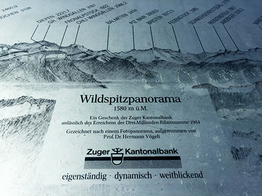
Zuger Kantonalbank sind weitblickend … ja, ja, but a nice sign.
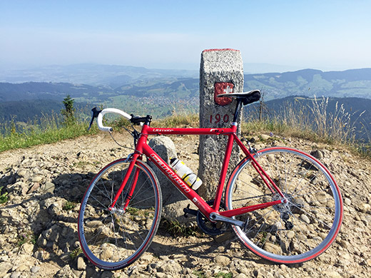
Here a stone marking the top, looking north-west to lower laying areas as we are at the very north end of the Alps here.
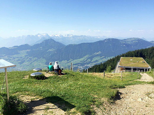
An older couple enjoying the views and the restaurant below, which was closed this day.
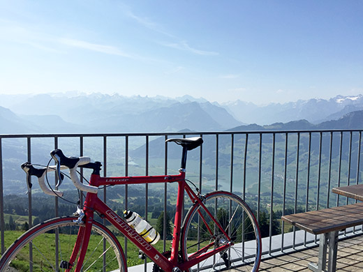
The view from the restaurant over the Brunnen-Schwyz area and beyond.
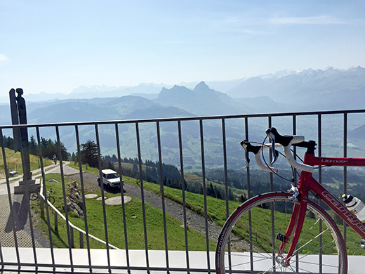
The Grosser and Kleiner Mythen by Schwyz ahead here, a wooded statue up here and the mountain biker coming up.
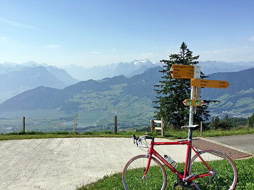
Photo at the 1521m point below the last steep ramp, which looks like a pass point to me.
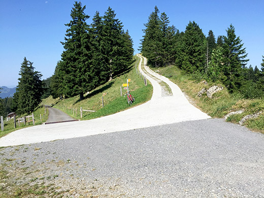
And here the concrete ramp up to the top. No problem with a road bike.
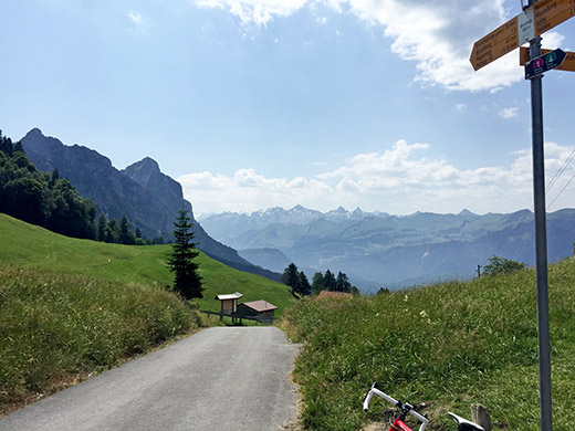
Down to the heat at Sattel and up the other side to Mostelegg (1266m). The road goes down strangely at one point by the ski lifts and then there is a very narrow road climbing to the pass. Nice views from the pass and the other side down toward Schwyz.
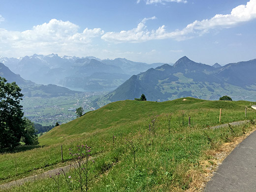
The road then descends sharply to 1104m, where I took off to cheat on the climb up to Haggenegg (1414m). This photo is on the way down to the turn-off.
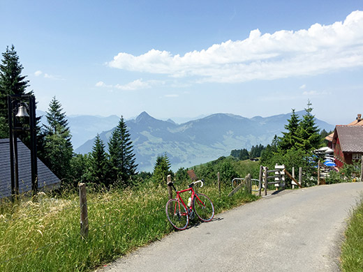
Here I finally reached the pass. In this heat I would have had no chance whatsoever to make it to the top without stopping. I was on the border all the time for the 2 kilometre to the top and they felt like 5 km. This is as close as you get to a Swiss Monte Zoncolan (there are for sure other contestants), but this is very hard/steep and exposed to the sun. The climb has an average gradient of 12.9% according to quaeldich.de, which is similar to the absolutely hardest climbs anywhere (it is actually more than that of the Monte Zoncolan, only that this is shorter). I was eating rösti and a radler for lunch here and tried to dry up a little as I was totally drenched in sweat as I arrived here.
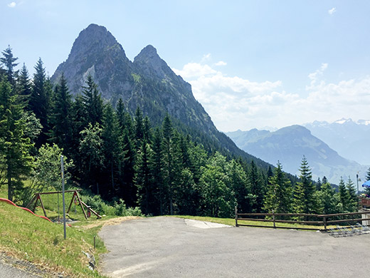
The Grosser and Kleiner Mythen in close-up!
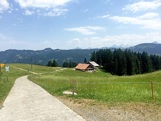
The road down the other side starts as a concrete road but soon turns to a bad gravel road. After asking twice about which of the two roads ahead was best, I was suggested to take the one that does not descend as it is shorter to reach asphalt there (also described at quaeldich.de, but forgot about that).
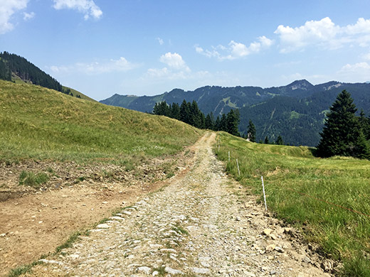
No, I did not bicycle down here! But it is only a kilometre or so before reaching asphalt again.
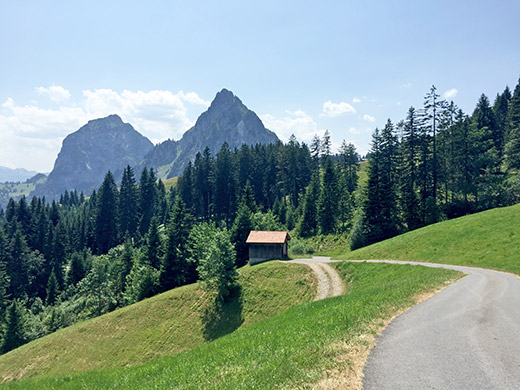
Here the lovely asphalt road starts with a quick descent to Brunni (1089m) and then mostly flat down the valley to Einsiedeln (884m).
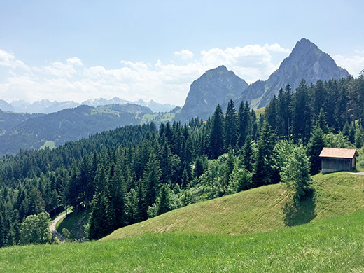
I stopped in Einsiedeln for a coffee at a place like they looked what coffee was, but no good brew coffee their either – only espresso. Lots of cobblestones on the main road through the village and then I continued along the Sihlsee and this time I kept to west side, by following a very narrow road that is just about asphalted all the way to the other end. It is rather wobbly so not much of a short-cut, but a good alternative nonetheless.
I stopped again at Unteriberg (925m) as I felt a bit tired from the heat. Eventually got into a café there and had something cold to drink and to regain some strength.
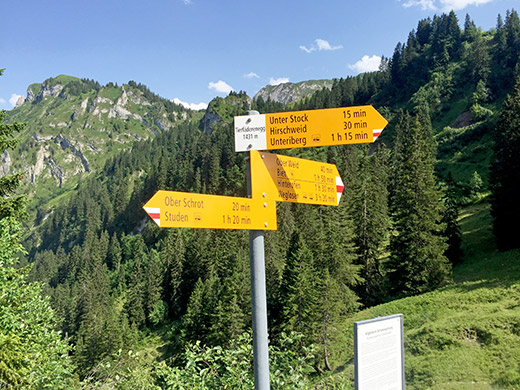
Then I went to Waag (923m) just a bit ahead on the flat road to Weglosen (dead end of the valley). Here I decided that I had to change the cleats on my shoes as I indeed had brought with me a spare pair since the ones I had on were already rather worn down when I started in Chamonix. I was also afraid of another steep climb ahead where it would not be good to get the bicycle shoes detached from the pedals in. Then finally I had no more excuses for not tackling the next climb.
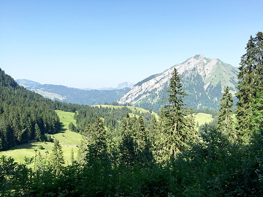
Tierfäderenegg (1431m) was not quite as steep as I had anticipated. But it surely had some steeper parts, especially so toward the end on the concrete section. Here is the view from just above the pass along the steep gravel road to Ober Weid (1602m) that starts at the pass. I walked up a little as it was just a bit too steep to make sense to try and cycle up at ca. 20% constantly. But the road never got less steep, so after a while I decided not to go any longer there even though it was a decently good gravel road with likely good views from above.
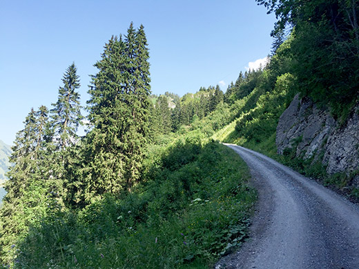
The road doesn’t look steep, but it was indeed.
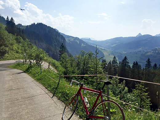
Here is the last serpentine bend on the concrete part up to the pass with good view up the valley.
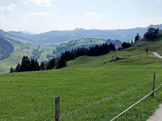
Here is the view over Oberiberg and the road up to Ibergeregg (1407m) (on the other side) where I was going next.
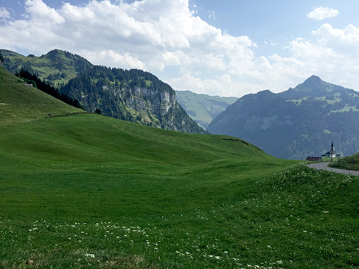
Lovely views on the descent and the road is all quite good from here and down. Unfortunately there were a lot of stinging insects at this place now.
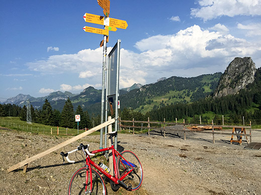
Then the long and winding road up to Ibergeregg (1407m), that feels like it is climbing a lot more height metres than it is. Felt good on the way up here, but got really tired near the end. Then I found out that there were road work on the Schwyz side and it was no good at all to drive over, but made it through.
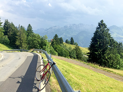
Then I stopped for a nice view along the way down and noticed the bad weather in the vicinity that was building up.
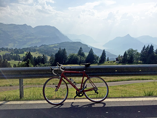
Again a view over the Vierwaldstättersee before finally getting out of the area.
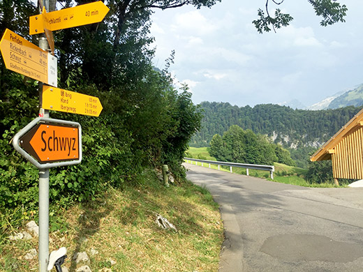
I then turned off the main road onto a small road via Chätziboden/Uf Ibrig (765m), which had a really steep and narrow road down the other side for around two hundred height metres. This is not the early road over Illgau, which should be a nice alternative!
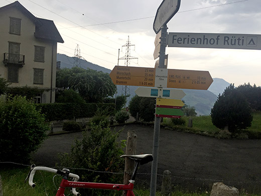
Down on the main road to Pragelpass (1548m) I went up the Muotathal only some hundred metres to descend a bit further and crossed the river and up on the other side, where it was gravel surface for a while, but soon again on asphalt up to Schwyzerhöchi (758m) – a little pass that works as the only possible short-cut escaping Brunnen on the way up toward the Andermatt area. I had to take shelter here outside the nice old house in the photo here.
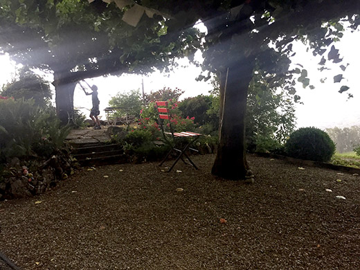
I was standing near the wall to escape a horrible rain and thunder storm passing by, while the inhabitants were trying to quickly move things that could get fly away in the storm. They left the wondrous big chair here though. There must have been great views from the other side of the house in good weather. Talked a little with the nice man living there and he suggested I should maybe consider sleeping in hay beds up at nearby Rüti for the night, but I was not convinced that would be too comfortable and also hoped to get a bit further ahead before the end of the day.
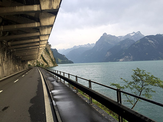
I asked a lady in Morschach if there could be a cheap hotel there, but there was only at least one apparently quite expensive one and a big sports hotel or what it was. I saw a sign for another hotel, but did not find it, so eventually I went down to the big Axenstrasse up to Altdorf and Andermatt.
I stopped again in Sisikon by a hotel to ask for the price, but it was a bit expensive and it also did not look very good, so I continued. As it was getting late now the traffic was not as bad as I guess it could sometimes be here. Have heard cyclists complain about it, but had not before travelled along this stretch myself between Brunnen and Altdorf. Now, there is a bicycle path most of the way along here. I followed it here and there and good to escape the tunnels at some places.
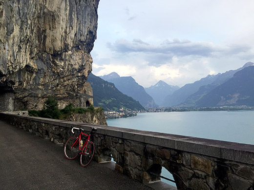
In this photo is the nicest alternative stretch to the main road through the tunnel. At Altdorf it started to get dark, but I did not really want to stay in the city as it looks boring and too expensive.
I also had hoped to at least start out on the road up to Klausenpass this day, so I continued up to Bürglen and found a somewhat big hotel (Waldhof) and it seemed very busy with many people, but they had one bed left just for me. It was a nice place. Not that fancy, but the old lady was nice and got me a cold big bottle of apple juice to bring to the room as I knew I would be thirsty during the night as usual.
