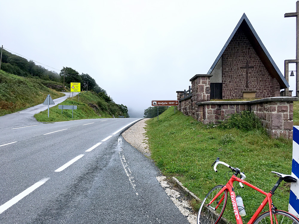
After a good breakfast in Aribe I continued a bit further west up through Garralda to Collado Lapizea/Garralda (931m). The weather was very grey and rain looked likely in most directions. Already in Garralda I had to take cover shortly when the rain started. It soon almost finished and I continued, but it started to rain a bit more again and diminished and increased along the way to Puerto de Ibañeta/Ibañetako Lepoa/Col de Roncevaux/Ibañeta Mendatea (1056m). It is a very nice and easy road going slightly up all the time, so ideal in rainy weather (if the rain eventually stops). I stopped at the upper end of the nice looking Auritz/Burguete village as I saw an open café and had a coffee as the rain continued.
Then when the rain stopped for a while I continued up to the Ibañeta pass between Pamplona and Saint-Jean-Pied-de-Port, above Roncesvalles/Orrega. The rain never quite stopped though, but it was light most of the time. It was a bit frustrating as I had hoped to have some good views from the Ortzanzurieta (1566m), but there was not much hope for that now. I have been to the Ibañeta pass before but have not climbed the legendary Ortzanzurieta, which is one of the hardest climb in the area, especially if coming up from the French side.
After some thinking about if I could possibly forget about the climb, I decided that I had to do it now as it was anyway no fun going down the road to France in the bad weather and maybe the weather would get better later. I started on the Ortzanzurieta road up to the east at the Ibañeta (there is a road up to the Lindus pass all paved now on the west side that I had originally thought about traversing, but had now decided to forget about. I had also got in contact with François Candau (another ambitious BIG member) and had plans to meet up with him down in Saint-Jean-Pied-de-Port where he happened to be this day.
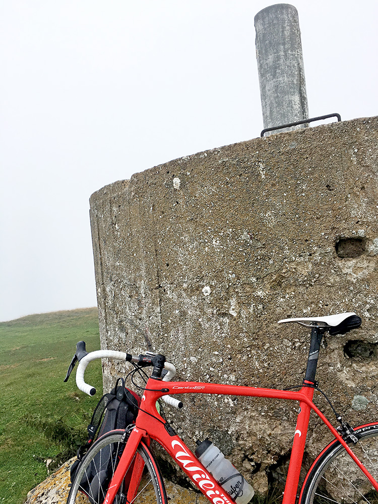
Above is the bike, back-pack and the height plate at the top of the Ortzanzurieta, which I eventually reached. The problem with the road was not as I had feared beforehand, that it would be very steep, but rather the quality of the road. It was made worse with the wet weather also. I wrote on Facebook afterwards: “The road up there is not potholed, but a pot with its content.” It was like 75% asphalt, 20% cow dung, 5% broken concrete and debris, there where literal steps in the asphalt worse than the bad drainage gullies along way. Still this “road” is marked as a general road on maps and has ordinary sign-posts. Then it is irregularly steep also – as I remember it was easier the steeper it was.
It was an ordeal to make an understatement, but I could cycle all the way up. The road is partly part of the famous Santiago de la Compostela and at the Leopeder junction where that road continues to the French border there was a mobile van from where they were selling coffee and some few more things. Not many customers today, but there are always people out walking here no matter what the weather and today was no exception (of course no sign of any more cyclists). Stopped for a coffee and a banana as the rain had increased markedly now and tried to get a little warm. I asked for a little paper as I huddled under their small rain shelter, but although they had some paper, they had no dry paper (or towel). Anyway managed to transfer my phone to the plastic bag in my back-pack and could hardly not operate the phone up here as both it and my hands and everything were wet. Also no good connection up here.
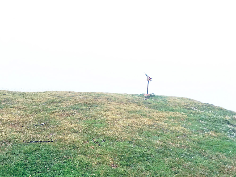
I continued up to the top and then both the rain and the wind increased, especially the wind got furious. I had to seek cover behind the concrete top and got the camera out to snap a few photos in the rain documenting the non-visibility and then shaking descended the stone-filled road and crossed the wire across the road and eventually got down without a flat, much to my amazement.
There are also some passes on the way up from the Ibañeta to the top of the Ortzanzurieta: Puerto de Cisa/Iganbolepoa (1144m), Iralepo (1250m), Collado de Lepoeder/Lepoederra (1432m) and Loiolako Lepoa (1457m). Ortzanzurieta is also a BIG climb.
There was then a long downhill ride on the thankfully not very steep road down into France. Down in Valcarlos it had once again started to rain more and I decided to try and find a place for lunch. The place was very busy this day for some reason, but went in at a busy place in the centre that looked like they could accept wet cyclists. They had one table that was not occupied and I reached it at the same time as another guy and we decided to share it.
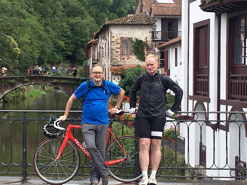
It turned out he was a nice guy from Venuzuela, but what I did not know was that he soon many of his relatives to turn up at the same table, some from Venuzuela and some who was living here. It got crammed around the table, but I got food and nice company and we talked for long, before I had finished the fine lunch and decided to leave as François also was waiting for me now down in Saint-Jean-Pied-de-Port (and to make better room for the family around the table). The journalist lady took a photo of us and I am still waiting to hear back from here about that (got her e-mail address, but she has not answered, but may be in Venezuela or some place).
It was a short distance down to Saint-Jean-Pied-de-Port/Donibane Garazi (165m) – I thought they had border signs along the road when crossing into France soon after Valcarlos, but could not see anything (just like at most border crossings in the Basque country).
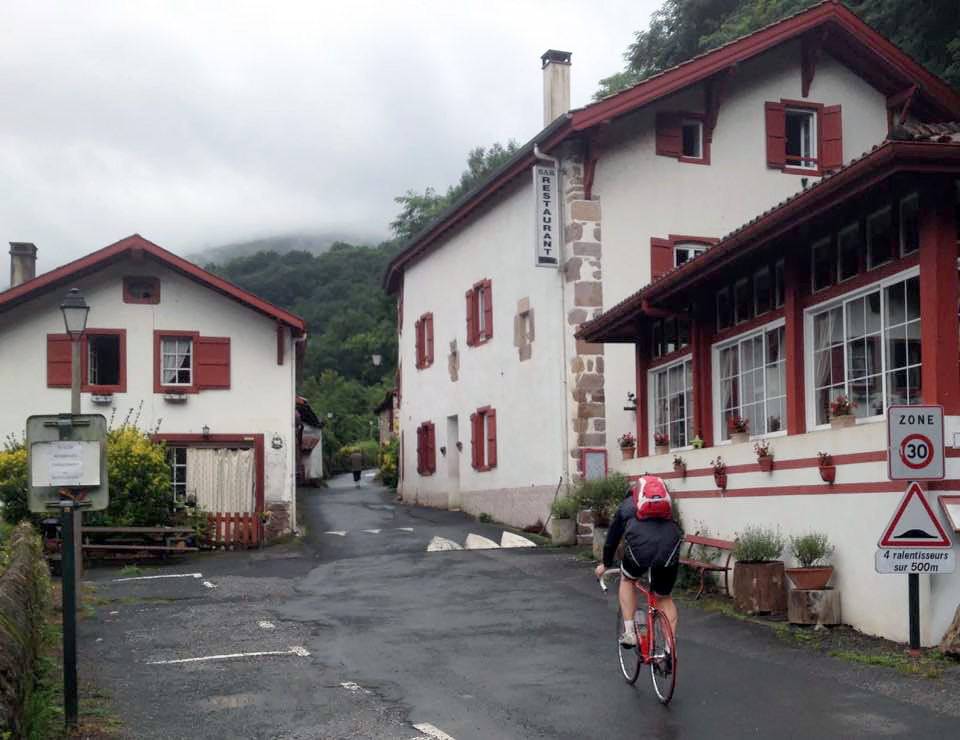
François is from the area, but currently lives up north in France, but was here on visit with his wife. We found each other soon and had a coffee and cake in the centre near where the photo was taken. Not so much cycling this day … but nice meeting nice people. François was kind enough to offer me a ride down to the start of the next and most western climb I had on my plan, the steep climb to the famous (famous for being steep mainly) to Artzamendi (921m). This is also a BIG climb that I much wanted to have visited and without François help, I would likely have had to forget about it with the weather this day.
Rain sort of stopped as we went down to the start, but it was all cloudy up the mountains. The road is very much up and down to the start when one takes off the main road down to the sea. The climb starts in Laxia (49m), which is pretty low and thus even if the climb is just to 921m it is still 872 height metres! Here is François’s photo of me slowly taking off up the road. The area is very nice with almost always the same style of buildings, which are nice, but maybe a bit too much conformity, just like up the Spanish Pyrenees, but these houses are very colourful (more red normally than in the photo here).
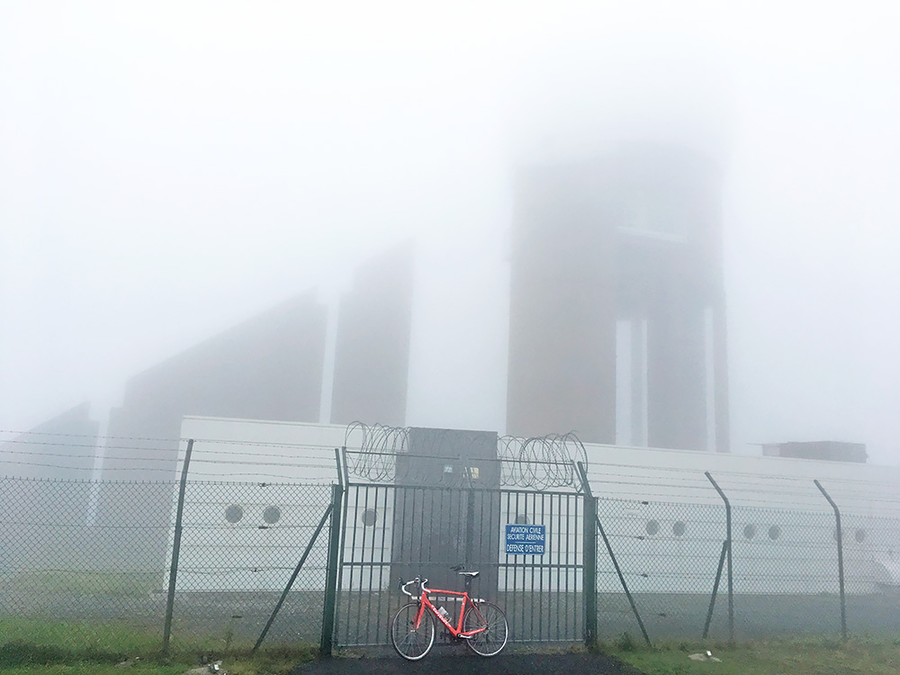
Here I am finally up at the top with even less visibility than at Ortzanzurieta. The road is worryingly easy at the start for quite some time, because one knows it is not a long road (well 10 km) and many height metres to climb. Here are the best two profiles of the climb I can find: Altimetrias and CyclingCols. I think the final part is indeed steeper than 20% in places, so guess the first profile is most accurate in that regard, but the second got valuable info on the steepness of the steepest 1 km and 5 km (none as usual have the exact height metres correct, and I may well be off by a few metres myself, but likely my figures are closer to the truth, but it does not affect the general slope). The last section from reaching the fork not far from the border is quite steep, but with a resting zone around the only pass on the way up here: Col de Méhatché/Meatseko/Mehatse/ Mehatseko Lepoa/Prado llamado Meatsecosoromunoa (716m), then steep again, but not now so terribly.
It started to rain a little again on the way up, but the rain again went away, and again returned once more on the way down, though it was then the last rain for the day. As I closed in on the end of the road I passed by a family walking and only saw them like 15m before and at the end only saw the big building there just before reaching the fence in the photo above. No views today.
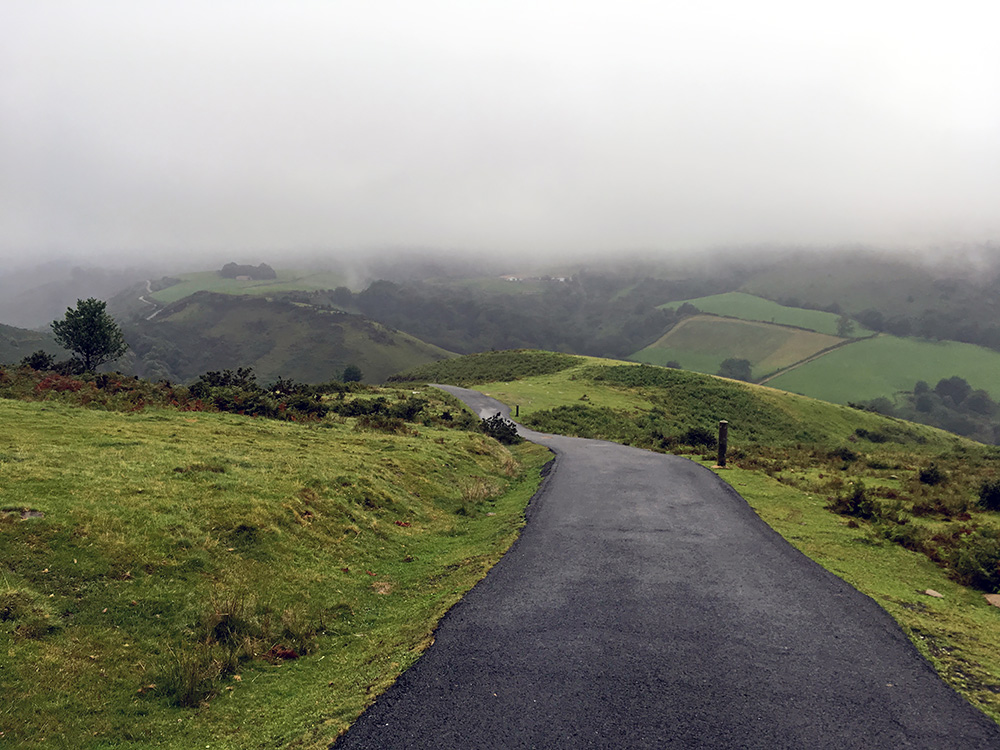
Here I am down on the steepest section which was just under the compact clouds. That photo gives a sense of the steepness that could be a bit terrifying. One really have to be determined to get up here (at least for me with a back-pack, wet road, weighing just under 90 kg, and 36-28).
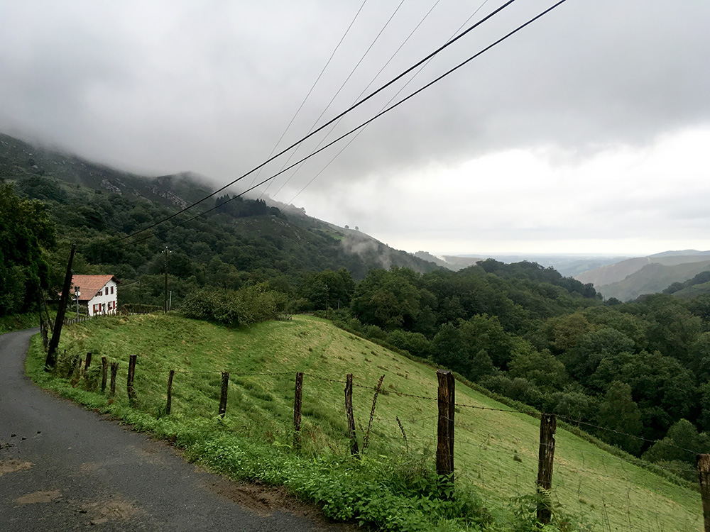
On the way back down I managed to take the wrong road up another steep road, that I soon figured out could not be the one to take (must have been the road over Legarreko Lepoa that I went in the other direction over back in 2005). It felt fine the day was over, but also a bit annoying with the bad views and short distance. Still it was a nice day in meeting François and wife and also the Venezuelans.
It was at least decently warm down here now and I continued back on the road to Biddaray, the same way we arrived here by car, but it was a bit longer with a bicycle. I had exchanged some words with the family up at Artzamendi and they recommended me to find a place to stay at in St-Étienne-de-Baïgorry, which would have fit well with my original plans, but Now I was more interested in getting out of the area back east so not to be too late for the last climbs on the tour. The day was also coming to an end, so stopped at the hotel near the train station in Bidarray that I had also looked up beforehand as a possible place to stay one night at (when looking beforehand it seemed like many places in the area were otherwise quite expensive). I stopped there and the place was a bit of a mixed experience, but all fine. (The place in St-Étienne was likely better though.)
