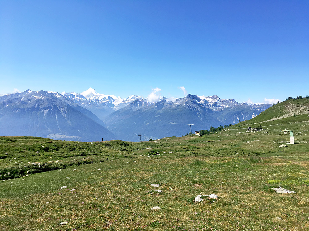
Maybe I could have been up a bit earlier, but had a good breakfast and went away up the road to Feselalp/Underi Fäsilalpu and the newly asphalted continuation above 2000m to Stafel/Oberi Fäsilalpu (2206m). It was a 700m climb, but only the last newly asphalted section was difficult. That section on the other hand was very difficult (which I knew beforehand) with a slope constantly over 15% and more often around 19-20%. From the turn-off for restaurant Trächu Hittu (1950m) it is exactly 17.0% on average for 1525m to the top (17.8% for the steepest km). I was lucky this was in the morning and the full climb from Obergetwing (623m) is a tough one.
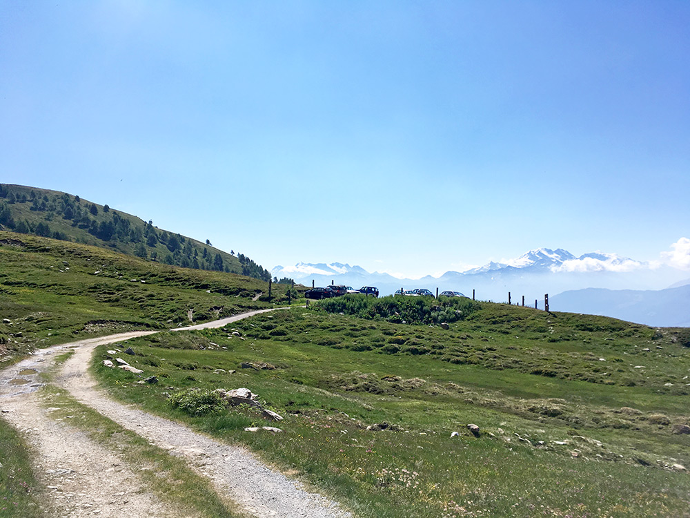
Luckily I gained very good views from the top as see here and above. The above photo and this here were taken at the “crossroads” where you see a lot of people in the photo below here. Some of the people there were actually working with putting the sign up, which may have fallen down at some point on the ground, so therefore no photo with the sign.
They also informed me that I could get over to Faldumalp and Lötschental by going up here and the path/track would be in part possible to cycle on maybe even with a road bike, but it is clearly best with a mountain bike. I had actually already thought about the possibility, but it looks to me as if it would take about the same time as it would take to go down to Getwing and climb the Lötschental from Gampel-Steg and then I would save the tyres and gain more height metres. I would loose some nice views though and would have to deal with the heat. But I was reasonable and went back down.
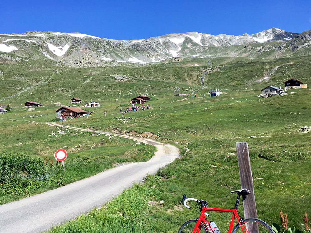
Looking back up from the high point of the asphalt road. The walkers here had obviously started earlier than me in the day … .
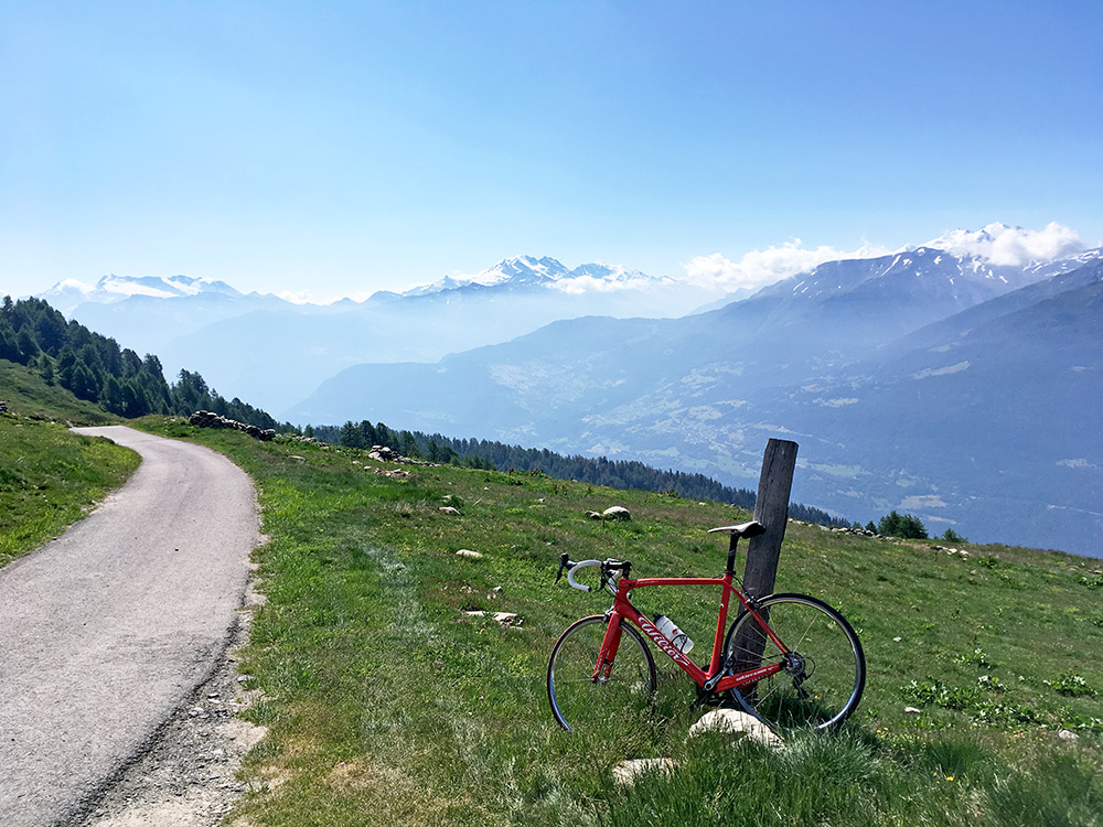
Great views in the direction of Moosalp and Augustbordhorn and the mountains beyond by the Simplonpass. It was already warm enough up here and one wonders about the reasoning of going down in such weather, but the tour must go on.
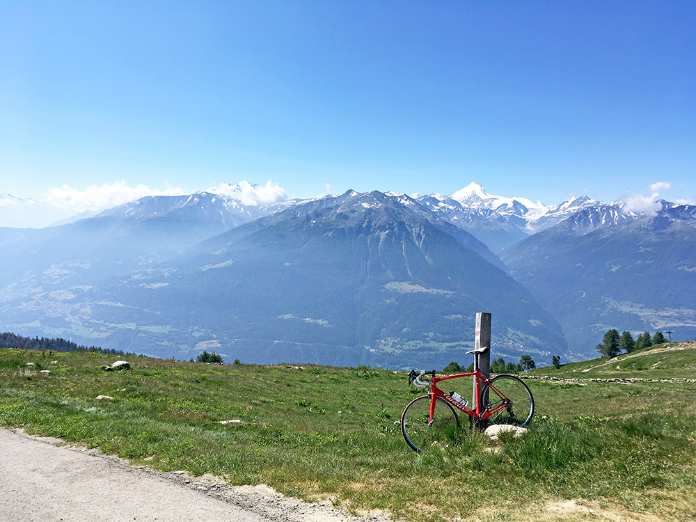
Another photo first straight over the valley, which should show the Turtmanntal, that I soon hope to visit myself. The top should be the Weisshorn (4506m) (fifth highest peak in the Alps (with a prominence of 300m or more) according to Wikipedia).
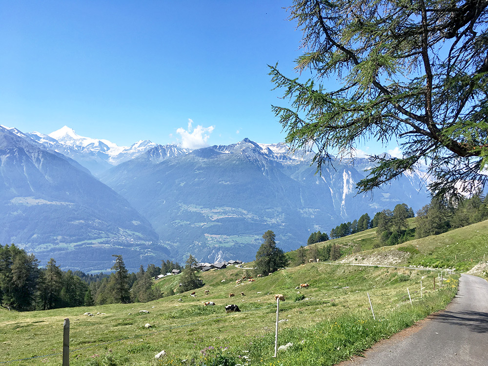
Getting my bicycle to a stop just after the steepest section near the only bend and one see the section down to the restaurant at Feselalp/Underi Fäsilalpu.
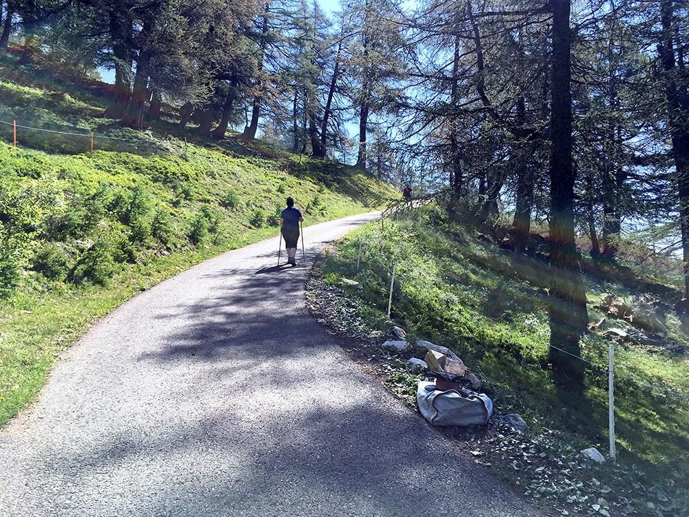
Looking back up and a lady walking up the road (many people here this day) and it looks steep even in the photo, I think.
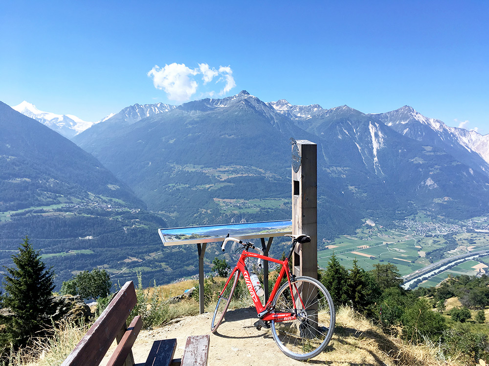
When I got back to I collected my backpack that I had left behind there (smart, but hopefully I had made the climb either way). I also could not resist to take some more photos from the cable car station where one had very good views.
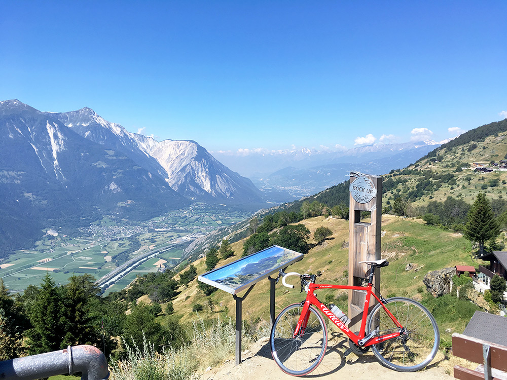
And here you see the mountainside down to Getwing I was on my way to descend now. It was hot when I arrived down in the valley. I continued up to Gampel-Steg (639m) where it was time for coca-cola and a pastry from the grocery/konditorei. The old road seen as looking fine on most maps have had a crucial bridge collapse some years ago and there are no signs of any thought of restoring the bridge and road, which would have been a lot nicer for us cyclists than the new road that goes through a very long tunnel.
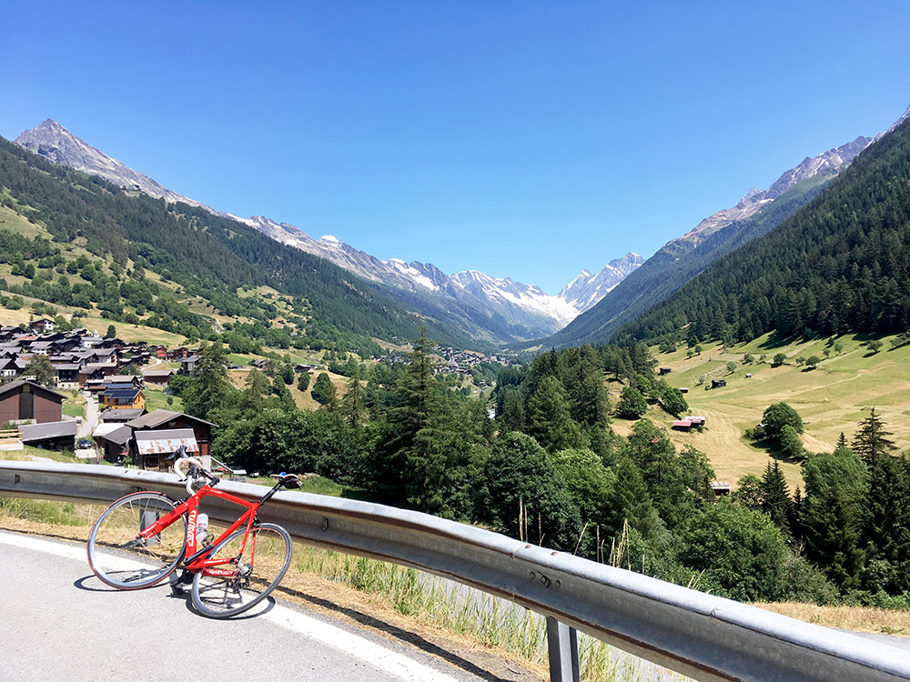
Still I was not climbing the road in time to get up the old road, so now it was the new road, which on the other hand is wide and relatively easy. Once I got above the entrance for the Lötschbergtunnel at Goppenstein the road was nicer even if there are still some more tunnels and galleries. Here I have finally reached Ferden (1368m) where one has the first views up the whole end of the Lötschental. I stopped again in Kippel (next village) for a beer and talked a bit with the Danish young lady working for the Summer there, who happened to know some Swedish.
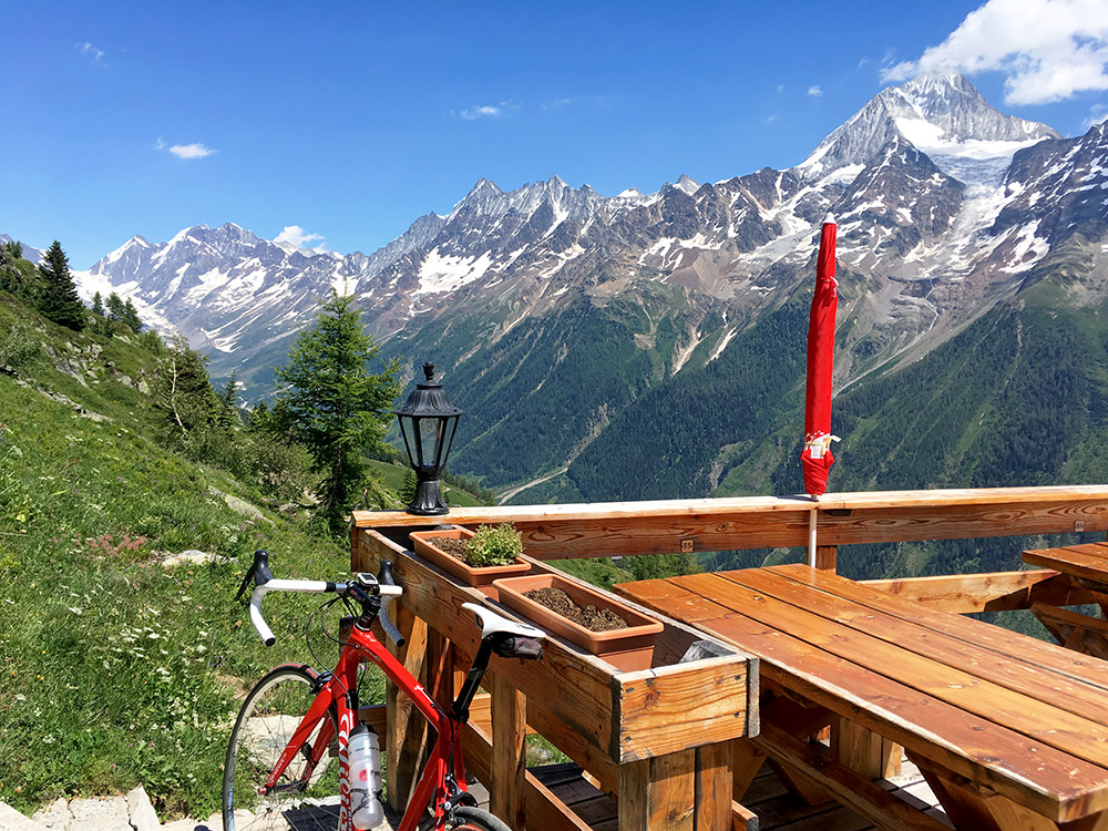
Then it was time for the second part of the climb up to Lauchernalp (Berghaus Lauchern) (2122m) (asphalt ends at 2109m). This part is a steeper. I talked with an older man also shortly at the bar who said the forest road up there from Kippel is nicer, but not paved, but still he suggested I should take that. I did not feel convinced it was a good idea so I took the normal road from Wiler. A little over half-way up one could alternatively go to Weritzalp (2099m), but I thought it was enough to go up one of the climbs and took the highest one, which I knew also had a restaurant.
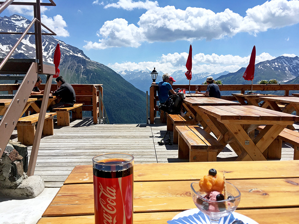
Stopped there for a coca-cola and small ice cream as I just had to make stops to get the day more manageable in the warm weather, but also for the nice views from the restaurant.
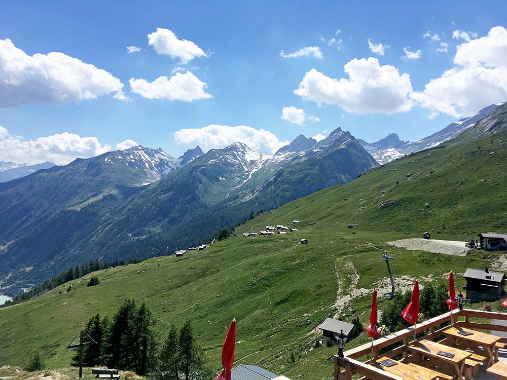
Looking in the direction of Feselalp where I was up earlier and the mountains I could have gone around on the outside.
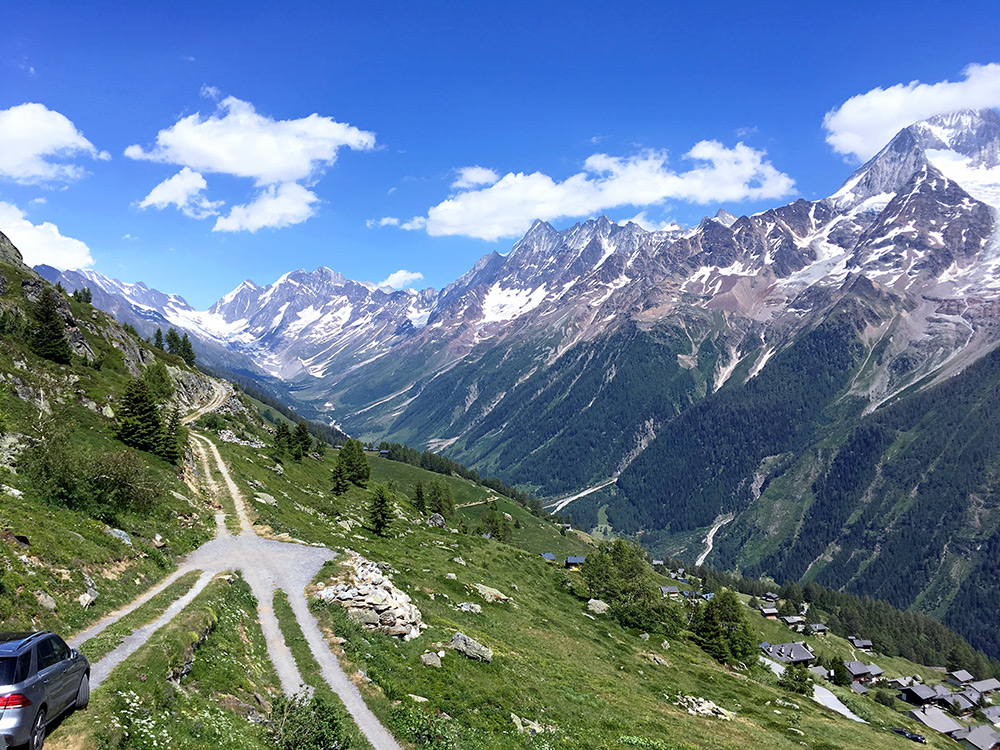
Great views up the Lötschental from the restaurant (I went around on the back side of the restaurant where the road ends).
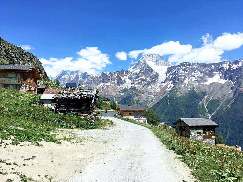
Here I am up at the sign Lauchernalp/Stafel (2106m) by the cable car station nearby at the other end of the asphalt road here.
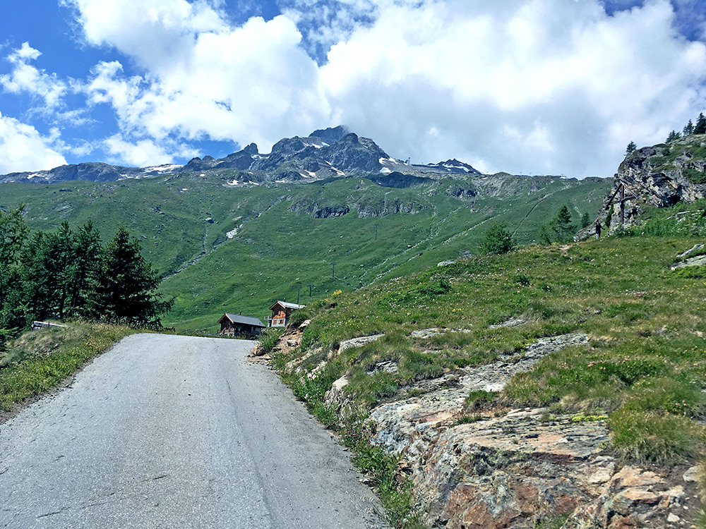
A last photo back up just before you see a bit too many boring houses at Lauchernalp (which is a pretty big group of houses).
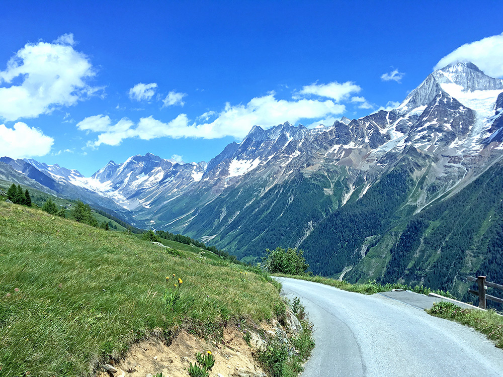
And a last photo up the Lötschental before going up to the end of that valley to Fafleralp.
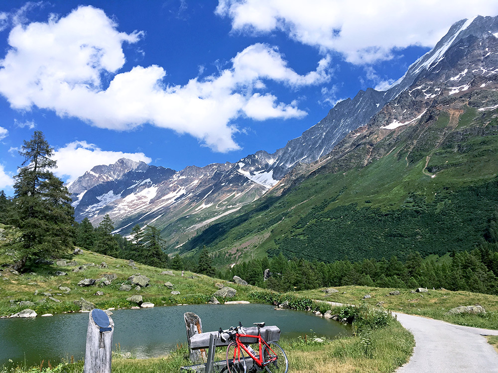
The road up the main valley to Fafleralp (1798m) is not really steep anywhere, but slightly steeper at a few places near the end. The highest paved road goes up to the left at the end to a sign saying 1795m (placed by the lake here).
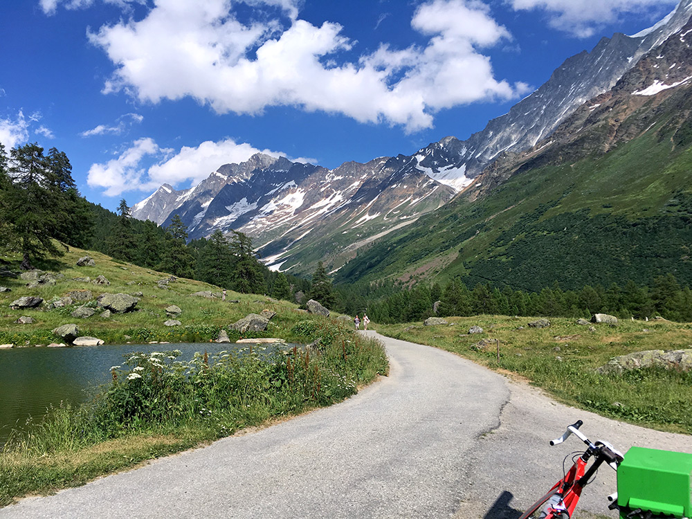
One more photo as I could not choose which was best again and slightly different.
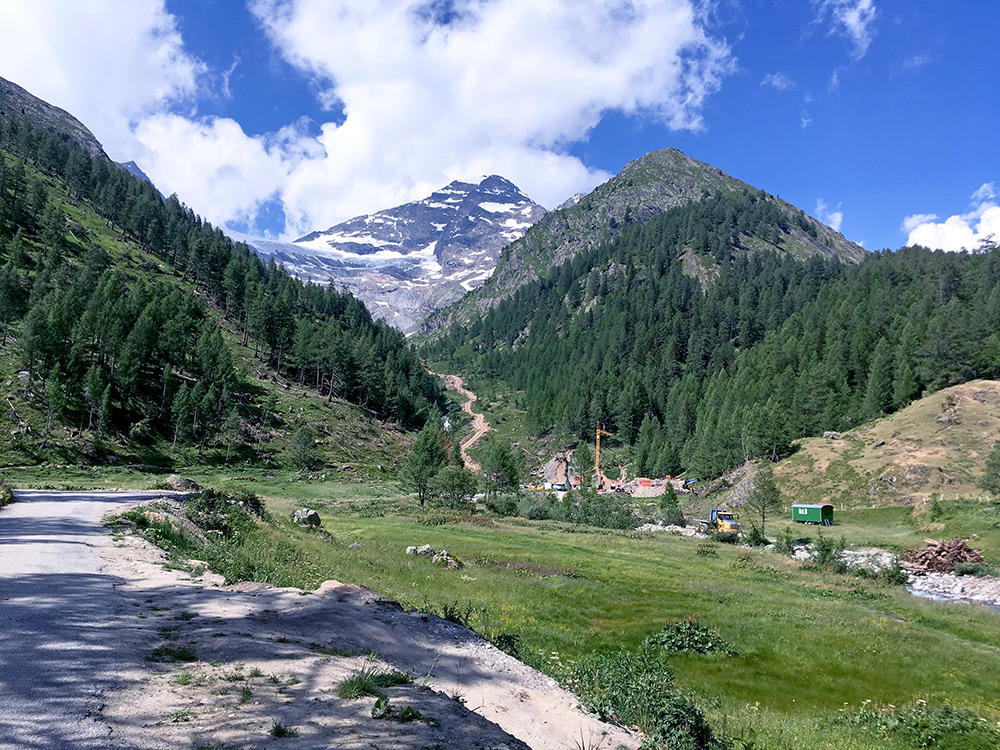
One of the curious side valleys on the way up and this is just at the end, with a new gravel road that looks quite steep (which makes you wonder if that is a road that will get paved eventually and make the climb still longer/harder here).
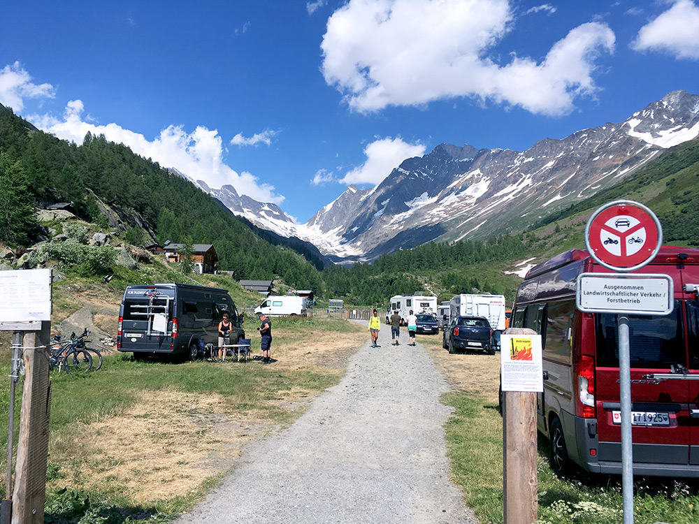
As far as one reasonably goes straight up the valley. Does not look like one would get better views continuing up on the gravel road unless one could go very far up. So after these excursions in Lötschental, I thought I had done the most important things here at last and returned back to Wallis/Valais.
Back at Gampel-Steg I think I went straight over to the other side of the valley and took the main road to Visp and Brig, which is after all fast and easy, even if there are lots of traffic, which I am mostly comfortable with on wide roads (and found the road on the other side recommended for cyclists to be a bit confusing and not so good when I tried it once). First after getting over from Brig to Naters and near the turn-off for the next climb I stopped again for a coffee. It was again getting late after me taking things easy and doing many stops. I did not want to stay the night in Naters though, so just to continue up the mountain and hope I found some place to stay at in Blatten.
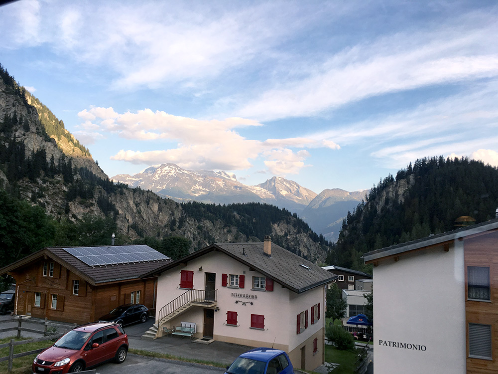
The road to Blatten is not so small, but also a bit steep. There is a big hotel in the centre, but it looked a bit expensive, so I continued up, but only saw one more alternative and asked for the price there and it also looked expensive, but thought the prices were probably not better at the other hotel so I stayed here (Fereienhotel Massa). Possibly the big hotel could have been slightly cheaper, but no big difference. The old part of the big hotel looked nice, but not the new part built next to it. Either way, I had nice views from the dinner table (photo here) and another nice evening. Another stop half-way up a climb (I should ideally stop half-way on the way down from climbs, but not always easy to make it so.
