2009m - 51 km (St. Sauveur-s-Tinée)
2031m - 55.1 km (Col St-Martin road)
2083m - 56.6 km (Ilonse road)
2212m - 65 km (Pont de Clans)
2280m - 70.1 km (Pont de la Lune)
2326m - 74.6 km (Tinée valley)
[FR-04-2513]
 |
Height | Climbing height - length |
| 2513m |
1652m - 37.1 km (Isola) 2009m - 51 km (St. Sauveur-s-Tinée) 2031m - 55.1 km (Col St-Martin road) 2083m - 56.6 km (Ilonse road) 2212m - 65 km (Pont de Clans) 2280m - 70.1 km (Pont de la Lune) 2326m - 74.6 km (Tinée valley) |
|
| Difficulty | Beauty | |
| 3-4 (5) | 4 (5) | |
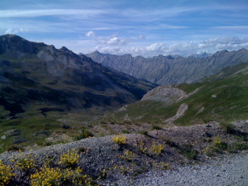
| How to get there | This pass is on the the way to Col de la Bonette (Cime de la Bonette) (2715m) coming from the south. A nice view (and perhaps wind) opens up to the north when you close in on the Col de la Bonette at this place. For more information see the entry on Col de la Bonette. | |
| Other comments | See the Bonette map below and also this IGN map at centcols.org. [FR-04-2513] |
|
| Map |
||