673m - 10.4 km (Saanen Dorf)
593m - 9 km (Underbort)
612m - 10.7 km (Kappelboden)
642m - 11.1 km (Kappelboden via Abländschen)
This climb is found near the border between the French and German language parts of Switzerland. From the south you start at Saanen (1014m) (if you should come down from Saanenmöser/Col des Mosses de Gessenay (1280m), then you start 80m above Sannen). You can take a small road up through the village if coming from the west or take the main road up toward Saanenmöser if you come from Col du Pillon (1546m) to the south. The turn-off above Saanen is only marked for Underbort (1151m), from where there is a descent to Grischbachsäge/Pont de la Scie (1097m) in the Grischbachtal/Vallée des Fenils which forms the border between the language areas (Vaud and Bern).
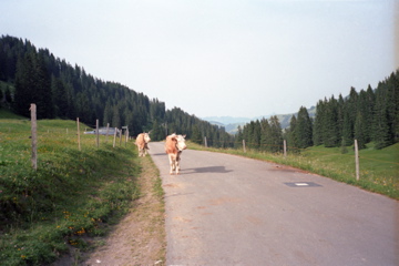
The road is narrow and only rises very slowly as it follows the river (it can be slightly dangerous going down fast this road as there are many bends, trees and some cars). Eventually the nice ride along the river comes to an end and the final climb is quite steep, but it is now only like 300m left to climb. The other side from Jaun starts in Kappelboden (1021m) and one can follow the main road straight to the pass. It is rather evenly steep on this side, but easy at first. One could also turn off and go via Abländschen on a higher going road with a 30m descent to the other road later.
Looking at the map, this pass seems like a more natural crossing out of the valley than the Jaunpass/Col de Bellegarde/Bruchbergpass (1508m), but Jaunpass really takes you somewhere – out of the French areas and vice versa. Jaunpass is also 124m lower. The ‘Grubenbergpass’ name is apparently not in use today (as far as I know), but is given in a geographical lexicon from 1910-1912, which I found after some searching. The pass offers few nice views, but has some near the top on the Jaun side and one could get better views by going via Abländschen (I believe as I only took the direct route myself).
You could also get up on one of the side roads that goes up higher. The first asphalt road going off to the right if going down toward Jaun from the pass reaches 1749m height just before the end of the road at Hinderi Schneit (at a place that looks like a pass too), the road to the left goes to Oberi Bire (1733m), the road above Abländschen to Oberberg (1657m) and the road to Chalet Grat (1642m). Those roads will surely bring better views as it is quite nice in this area. See also: Reidigenpass/Rieneschlipass (1616m), Euschelspass/Neuschelspass (1580m), Vorder Schwarzesee (Sparenmoos) (1621m) and Col de la Forcla/Col d’En Forclaz (1682m).
[CH-BE-1633]