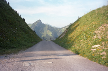
Sign 1621m
1247m - 11 km (Villeneuve direct road)
612m - 6.5 km (Sonchaux turn-off)
Despite not being a very high pass, this counts as one of the harder climbs in Switzerland. For 11 out of the 13 km to the top it is well above 10% on average! (More than 10% on more than 10 km and we are talking of the very hard climbs.) You could (unlikely) start the climb up at the turn-off for Sonchaux (1010m), if you have visted the Col de Jaman (1512m) and wanted to take a short-cut over here (which I did, albeit via the higher partly gravel road to Creux à la Cierge (1417m) by mistake). I met another cyclists living nearby who said he never managed to get up without taking a rest on the way up and I could understand him. The climb is steep from the start in Villeneuve (375m).
One could also climb this pass more directly as Google maps made me aware of when changing the route without notice to the incorrect one. This road is just 11 km and offers 11.4% on average! However, this road is not fully asphalted, but if you are lucky you can negotiate the last serpentines on gravel (700m) up to the normal road (looks a bit stony in some places in Google Street view, but possible I believe).
[CH-VD-1621]