Some facts
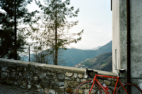
I took a lot of photos this time as I had my iPhone (102 photos) and the Olympus analog (72 photos) cameras with me, so I will not post them all this time. (I have added titles to photos that you can see by holding your mouse over them.) I thought I did not need to prove to myself that I could climb even harder roads than before, but so it happened as I climbed Alpe Vaccaro and some other really hard roads. I was lucky with the weather and apart from a handful of raindrops the first day I had consistently good weather for cycling with Summer temperatures the last of the 9 cycling days.
Some facts: 34694m/9 days is 3854m/day. 1525,5 km/9 days is 169,5 km/day. 7-33°C (in the sun). Max inclination was 26% on several occasions. 50 new mountain passes (at least). (Just passed 1000 mountain passes last year!) Highest altitude was in the garage at Plan di Montecampione at ca. 1800m. I visited enough bad roads to challenge my idea that roads are better in Italy than in France (but they still must be better than in France (and Sweden for that matter)).
Note: Internet Explorer is not recommended. Instead use a good browser like Opera, Chrome, Safari or Firefox. These pages looks best in Safari on a Mac.
The first day started off nicely on a fine road out of Bergamo (Via Beltrami/Castagneta)). I did not at first have to look on maps for a long time as I had studied them well before. It was greyish weather today, but apparently there were many people out cycling anyway as it was Sunday.
From the bridge at Almé I crossed into the Valle Imagna. I had forgotten about it, but in Italy all that matters is what valley you are going to and not the villages there. There are always signs for valleys and you should preferably note that in your planning (road numbers are of use only in France).
The road up to Berbenno was quite bad but still I met around 50 cyclists going down there in good speed. At Berbenno I took the road pointing to Blello. At the last turn before reaching the ridge, there is a small road that goes off to nearby Forcella di Berbenno (708m).I had to go back the same way. On the main road at the ridge an even more obvious pass is located, but without any known pass name. (Most people seem to think this pass is the high point on the road between Ponte Giurino and Brembilla, but that nearby pass also has no name.) The road to Blello is quite nice with great views of the Brembilla valley and is newly paved. From Blello it is only marked as a path or gravel road on maps to Gerosa (760m), but the road is fully asphalted and quite wide, even though the surface is pretty rough on this stretch. This lets you escape going down all the way to the bottom of the Val Brembilla before climbing up again to Forcella di Bura (884m).
I stopped again at Forcella di Bura (884m) to take a photo of the first real pass sign I had seen. Soon after the pass a road takes off to the left and should supposedly be asphalted to Cascine della Forcella (955m), which is given as a pass in the Cent Cols pass guide for Lombardia. This guide is, just like the George Rossini book that covers the area, not very reliable. They are both helpful in locating passes, but the first comes across as compiled by armchair theorist with a linguistic bend, while Rossini’s book contains passes named by the author when he has passed them by. The Cent Cols guide is likely to improve over the years, but given the French club’s linguistic guidelines, it might not ever become a very good reference catalogue unlike the French catalogue (the Chauvot) itself, which stands as a very good example (with some very minor exceptions). First, this pass is not surfaced, nor is it really a pass and I believe the name actually refers to the Bura pass. (The maps of the area are also not very reliable and while the Kompass maps might be the best, they are often “clueless” and even fail to show several (even asphalted) roads.)
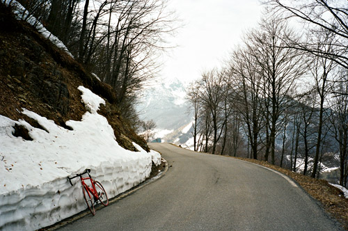
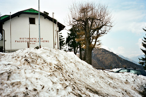
The descent is rather quick into Val Taleggio (most known for its cheese) on a twisting road. Then the road climbs a bit steeply up to Vedeseta. The road over Culmine San Pietro (1254m) (a pass) is quite lonely and sweet. It is also very narrow and a bit dangerous in places higher up. The snow had just disappeared from the road and at the top a lot of snow had been cleared from the road. There are very good views on both sides of the top and I had some photos. There was an open restaurant at the top, but it was too cold to stay up here (7°C and the coldest I had this time). I had thought to visit a nearby pass on a gravel road, but that was before I realised how wet and snowy it would be up on this height. The gravel road seemed to be usable but it was likely very wet, so I decided against trying it.
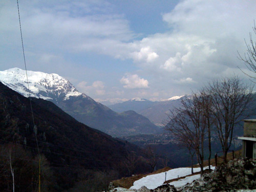
The surface is of varying quality and the road is good at first and then becomes less good the further down you get in Valsassina. I stopped by the second village (Cassina Valsassina) and had a very good lunch at the restaurant there and they were quite nice too!
Then down to the main road which I met at Colle di Balisio (723m). Here were plenty of cyclists again. I had only met one cyclist on the Culmine San Pietro road (and nearly not one car – for a while I wondered if the road had opened for the season …). The Culmine San Pietro road is a very ideal way to escape Lecco and busy roads while going to the lake areas from Bergamo.
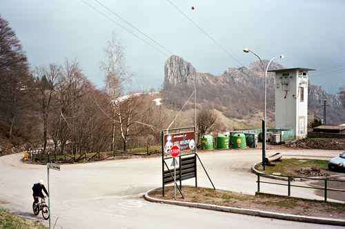
I continued down toward Lecco, but took off the road at Ballabio (623m) and started the climb up to Pian dei Resinelli (1276m) (claimed to be a pass by the name ‘Forcellino’ in the Cent Cols guide, which I have been unable to confirm, but it is a pass for sure and I saw a sign saying ‘Traversata Bassa’, which may refer to this). This climb is nice and not very difficult. It was made more difficult since there were road works on the last stretch to the pass and the road was very dusty. At the top is a nice area where one could for example go skiing (yes some even did so right when I was there as there were still snow here). One could visit buildings from an old mine here. There is a nice little loop road that I went around and when coming back I found the Via Alta road that looked very steep and I wanted to see how it it continued and followed it to the end up at around 1400m altitude. I would have hoped for nice views down over Lago Lecco, but the weather was not good for this and there are not many good views down there from the Resinelli plateau, but probably one could go further down the other side or higher up the mountainside to get better views in that direction.
I rolled back down to Ballabio and then down to Lecco. Many cyclists overtook me on the way down to Lecco. An older couple on a tandem passed me by and my patience with my relatively slow speed was coming to an end. Surely I must be able to go as quickly down the road here as them, I thought and hanged on to them. But I hardly could hang on to them on the poor and rough road down to Lecco. People know how to descend roads quickly down here in Italy! I was constantly fearing for my life when trying to hang on to local cyclists and still I am not considered to be slow downhill at home! It takes a lot of time and practise to get really accustomed to descend quickly and safely. I also had an accident this Winter when I fell on wet asphalt in a roundabout which made me a bit more nervous in curves, but I am slowly overcoming this now.
I continued on the main road toward Bergamo until Calolziocorte, where I went up to Rossino and took the road over Lorentino (which is not marked as an asphalt road on most maps (if it is even marked at all)) over to San Gottardo. At the top of this road (arguably a small unnamed pass) a road takes off to Torre de’ Busi, where I stopped for a quick coffee.
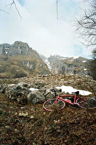
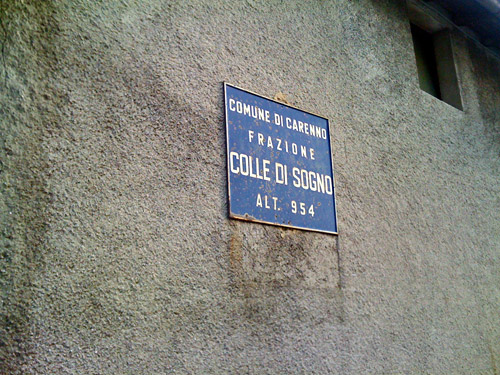
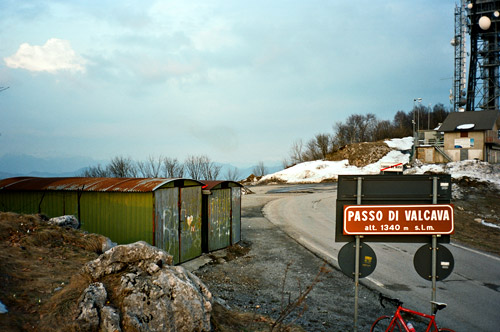
The climb from Torre de’ Busi to Passo di Valcava (1340m) is a really steep and hard one! (See salite.ch) with a long section up at around 18%. But before this section a road turns off to another pass I wanted to visit first. This is the Colle di Sogno (954m) and the road is asphalt all the time, but a bit rough. It is also getting harder the further you go, but it is never very steep. I did start to get very tired here though.
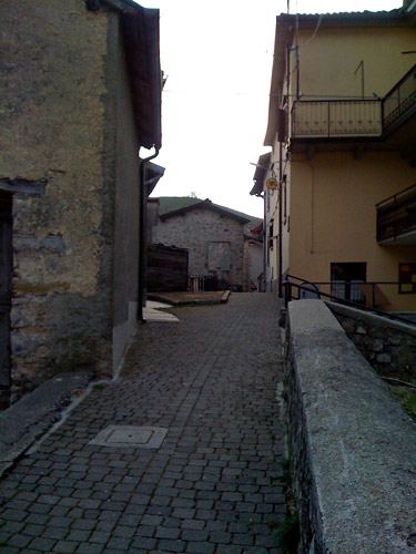
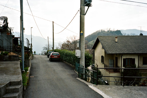
Colle di Sogno is a really cool village to visit! Just continue on the road you are going and pass by the sign that says no traffic is allowed and soon the “road” becomes as wide as your bicycle between the houses the clings to both sides of the pass, while the path you are cycling on is balancing on the sharp edge of the pass itself. I had a lot of photos up here and took the best with my iPhone, I think (I tried to take the best with my better camera otherwise).
There was loud discussion from the local bar that offered hot chocolate (according to a sign), but I rolled back down again to start the final hardship for the day up the Passo di Valcava. I went totally out of energy as I came to the really steep 18% section and I could hardly keep balance on the way up (of course not zig-zagging, even though it would have been smarter). I just told myself that giving up is not an option, but going out of energy and not being able to lessen the power output needed is difficult! Eventually I reached the pass and before the sun was down. It is very nice from up here!
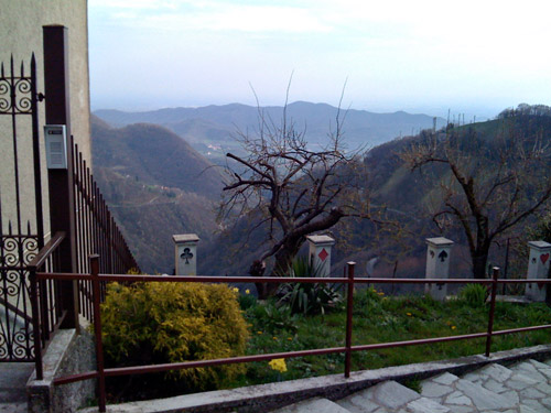
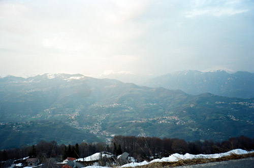
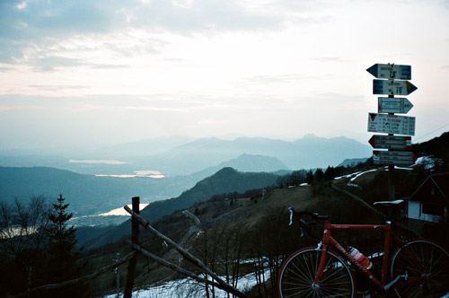
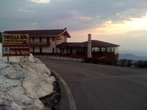
Now I just had a minor climb left up on the cold and shaded Costa Imagna side of the ridge to nearby Forcella Alta (1310m). The road was luckily cleared of snow and from Forcella Alta the views are even better and I had a few good photos here too.
I followed the high valley road to Roncola/San Bernardo (even had a few raindrops again) and it turned totally dark around here. I put on the lights and went down the hairpins toward Almé and took the same way back as I had started out on in the morning as I had no interest in getting lost and when it is dark, scenic considerations does not matter much.
I cannot remember which day I was eating where for sure, but think I managed to get a pizza at the best pizza place this night in Cittŕ Alta, where I stayed at the same good Bed & Breakfast place where I had stayed last Summer.
