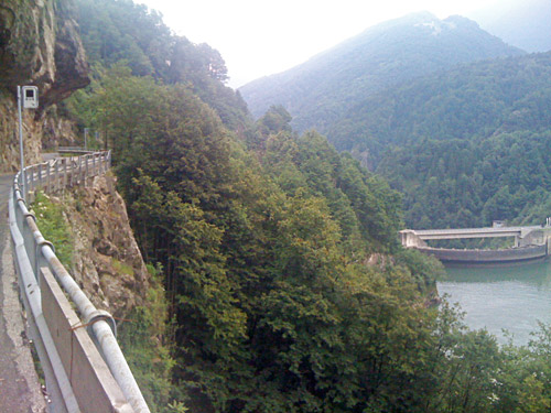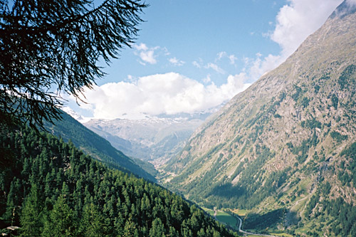
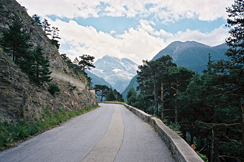
The weather was fine this morning again and even though they warned of worse weather again later this day, I could not care less as I planned to get out Switzerland this day anyway and was happy to have largely fooled the weather systems the day before! I eagerly went back up to Täsch (1430m) and started on the nice, narrow and steep road to Täschalp (2214m), which is the highest asphalted road in the area around Zermatt and this valley. It is very much a one-lane asphalted road, but a few cars and a taxi going up and down managed to squeeze themselves past me.
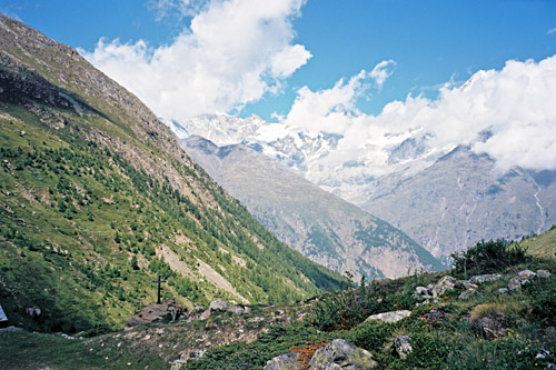
Despite the nice and perfect weather, a few clouds had decided to linger around Matterhorn so that I should not see the mountain this time either (it was the same when I got up to Cervinia/Breuil on the other side earlier. Other mountains did not hide away from me, only the Matterhorn. The first photo would have shown it in the centre and you could glimpse Zermatt (not too clearly) at the end of the valley. This road was a pleasure to climb this morning and it was likely a much better idea to get up there this morning than yesterday evening even if I had been there a bit earlier.
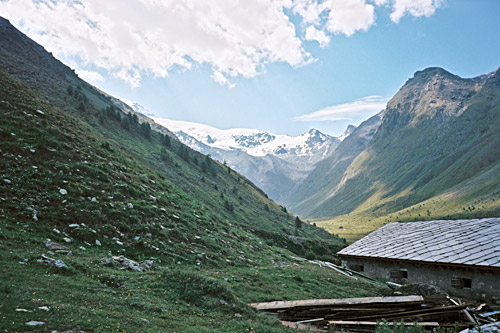
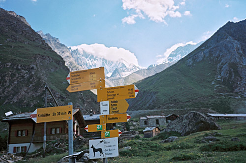
Eventually one reaches the upper valley floor where the road is not so steep. I had to navigate through some water sprinklers. Then went up to the end of the asphalt road (ca. 2220m), where you stand with Täschhorn 4491m right in front of you (also a bit in the clouds in the 4th photo from the Täschalp sign).
I did not stay so long, but was thinking of asking if one could get a coffee by a little restaurant here, that was not clearly opened. But then came the taxi van again with a bunch of tourists who just all went in there. I guess they must really need some refreshments after their long hard taxi ride, so forget it and I went down the valley again. After passing by Randa again a local cyclist caught up with me on a mountain bike with easy rolling tyres and he did not quite look like the most sportive of cyclists, so I was thinking it was time to wake up a little and expend a little effort in trying to move ahead. I resigned to keep company with him instead down the valley and we talked a little about things I cannot quite remember now, but then he took another road at Stalden. I stopped just outside of Visp (652m) by a grocery for coca-cola and yoghurt (which is usually as good or better than ice cream and cheaper and I keep a plastic spoon with me nowadays), yes, I also had a chocolate bar.
It was rather warm down the valley now and I did not linger down here. I continued straight through Brig up on the old road to Simplonpass/Passo del Sempione (2006m) that I have climbed twice before now, but it is a nice road (part of it anyway) for being a major road through the Alps. The first old part is quite nice when getting up the steeper part and I had a photo of a lonely house up there on the other side and another straight up the pass. I am not sure I was allowed to use the new bridge, but not sure I saw any sign saying it was forbidden to cycle there either, although it looks a bit like it might be. The old road is still possible to use, I think, but I sort of missed it and it would be longer and not too easy to turn around. One has to be careful on the bridge since the winds can be strong there and blow unreliably through the openings in it.
The weather was slightly gloomy up at the pass and they were working in the last long tunnel which made passage up there unusually troublesome. I thought it was a bit odd they almost closed the road of to traffic like that, but work had to be done. I continued straight down the other side and for some reason decided to go at very high speed down there, which is mostly fine, but had a few bumps in the road in one of the tunnels (guess it was cracks in concrete paving), but luckily no flat. I slowed down when getting to Gondo (855m) (rather quickly). Soon after comes the border passage to Italy and this part is the only one I had not previously been cycling on. Much to my surprise this big mountain pass road turns into a narrow and badly maintained road (a bit odd as roads are otherwise mostly very good in Italy, but in Switzerland too of course). It could not be fun driving down/up here with lorries (or having in front), but guess they mostly use the tunnel these days.
It looked even more gloomy down in Val Divedro. I passed by Varzo and the villages did not exactly look welcoming, but rather spooky and something from a time gone by somehow. Maybe a poor area or it only looks this way. I continued down to Crevoladossola (305m), where valleys opened up in every direction. This is a place from where one could start out on many hard climbs. I have many times considered to possibly climb the road to Passo San Giacomo at the Swiss border straight north from here, but again actually took it out of my plan after having consulted various photos showing the upper part of the road which has always been gravel and it is nowadays in a rather poor state, so one would do best trying it with a mountain bike. This has not stopped me before, but it looked a bit too troublesome. But I know mountain bikers regularly get there, so maybe.
Another climb I had listed as a ”possibility” (those possibilities are often really crazy given my other plans that I cannot keep up with) was Alpe Fouri (1495m) – Alpe d’Andromia (1885m). It is a road asphalted to just before Alpe Fouri at the height of 1495, where a gravel road continues which might be too difficult to use with a road bike to Alpe d’Andromia. It might be the hardest road to climb in Italy that is possible with a road bike (but maybe not, as Alpe Vaccaro was much harder to climb than Monte Zoncolan, but anyway has a lower rating). Since I am weighing a bit more than mountain cycling specialists, I will always have a comparable bigger problem with steeper roads in comparison to longer climbs, so it is all very individual and if you use triple front rings a climb up Alpe Fouri is probably not so very hard. (The only climb (of the 5) currently considered as harder climbs in Italy at salite.ch that I could possibly do would be up Etna (2915m), but not sure the gravel road at the end is good enough.)
Other climbs worth to mention are Aleccio/Colla (1584m) a bit up the Valle Antigori or the Alpe Deccia (1600m) on the opposite side in the valley. Alpe Coipo (Giovera di Sopra) (1624 m) should be quite nice and Alpe Pescia (1440m) is another climb out of Crevoladossola.
I decided that it was better to move on than spend time here on Alpe Fouri, that is not the nicest of climbs. I went straight over the flat big valley floor to the other side and had hoped to stop for a coffee along the way, but found no obvious place where to stop, so eventually continued on the road up to Druogno (831m) (which is also a pass, but has no known pass name). I had not looked on the map much for this climb and had thought it would be shorter and easier than it was. There is also a lot of traffic here and some tunnels. I kept going and eventually reached Druogno and stopped by a nice grocery and had something to drink and an ice cream. (”Nice” – as the owner came out and talked with me a little on the outside.) Nice to be in Italy again, even if only temporarily.
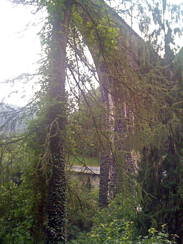
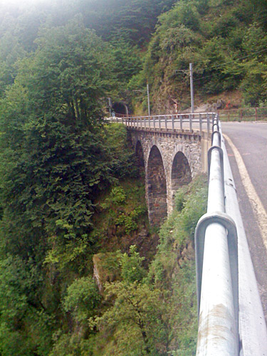
I had wanted to get up to nearby Passo Scopello (Pian dei Sali) (965m) on the road to Cannobio, but that road is most known for the nice part from Cannobio and would be more fun climbing from there, so I decided to leave it also for another time. I stopped again (I think I oddly stopped yet another time before for a real italian ice cream and espresso) in Re (710m), which is the last place with a grocery shop before re-entering Switzerland. They have a big sanctuary there. I bought a new soap and a coca-cola and continued ahead on the very twisty road to Switzerland. I had thought this would be as trafficated on this side as on the west side, but it is a very odd road with less traffic and there is also a railway clinging to the mountain side here and sometimes it is above on a bridge or below and just on the side of the road.
The road looks and feels like it could be dangerous when driving fast here or even cycling fast here, despite that it is not steep anywhere. It was actually one of the nicer roads I visited this Summer, while the one on the west side is not very nice. I had some bad photos with my iPhone here. At Intragna I stopped and here they luckily had a bancomat to get some Swiss money. I continued down to Tegna and Ponte Brollo (254m), where I directly turned up the Valle Maggia, which is likely where Lago Maggiore has got its name from as it is one of the major valleys leading down to the lake.
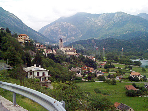
Valle Maggia is a truly a big valley, but it offers no way out on a road apart from the same way back on the road by which one enters the valley. At times it is a narrow passage between the mountains and sometimes there are big open fields. There are several side valleys but the roads up them all ends eventually. One of the hardest climbs in the area is up to Bosco Gurin (1506m). There is a nice little pass one could visit early on, but I wanted to get going as far up the valley as possible this day as my goal was to reach Lago del Narèt (2313m) at the end. (The pass I was thinking of is Forcola di Dunzio (596m), which is also a cul-de-sac road.) I soon realised that I would not be able to get up to the lake this evening (maybe I did so already earlier up at Druogno, which may have been why I stopped at some places along the way taking it easy).
Lago del Narèt (2313m) is not just a little climb you do in the afternoon (or morning for that matter) as it is over 55 km one-way from Ponte Brollo and over 2000m to climb. I just went on and decided to get out of the lower parts of the valley before stopping for the night as I found it rather boring down there. It is very flat for a long time, but I kept a steady pace and I had less traffic the further I get up the valley (apparently there should be a bicycle-lane part of the way, but I did not see much of it).
When I arrived at Bignasco (443m), it was already 20 pm and about time to look for a place to stop and there were perhaps two or more hotels here that looked like a good choice, but I really wanted to go on and so I did, almost hoping no one could see me making this decision as it might not have looked like the best one this late as I surely did not know if there would be much choices ahead for lodging. (I had planned to stop at Bignasco upon the return.) After Bignasco the road turns more narrow and starts to climb. I came to Broglio (703m) and was determined to find some place there to stop as it looked like a nice little village, but there was only one place that might have been closed down and even though I looked around the other houses there was no sign of any bed and breakfast. (There is an interesting road going up to Alpe di Brünesc via Monti di Rima, but without any indication of a place to stay at.)
I continued to Prato Sornico (742m), which is also a nice little village, but did not see anything here and asked an old woman, who told me there was a restaurant just a bit up the road that offered lodging. I went there and got lodging for the night at the cellar, which was a big room with many beds. It was cold down there, but I was alone and managed found a radiator and moved it to me near my bed and turned it on. I got some food, washed my clothes and went to bed.
