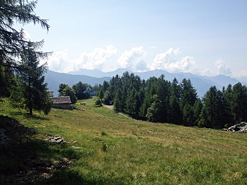
Thankfully it had just dried up in the morning again and I was mostly dry as well. I went over Druogno (831m) (obviously a pass here, but without name) and down the quick descent to Masera (301m). I stopped in Masera by a grocery for yoghurt and coca-cola as usual. Sitting down just where the road up the Alpe Pescia (1440m) climb starts. There are several hard climbs here around and even though this is a hard one it is still one of the easier (only looking on the figures). A few guys have contributed to details of most of the climbs around here at quaeldich.de and I was more interested in another climb I had actually been studying before it was mentioned at the german language quaeldich site, which is the road to Alpe Coipo and had noticed the asphalt road really ended at Giovera di Sopra (1618m), which they have now also realised at quaeldich.
The Alpe Coipo/Giovera di Sopra (1618m) climb is one of the hardest and at the same time one of the nicest here. So, as I do not wish to do several climbs at one place in one tour, this was the one to focus on this time. The weather was perfect and the road up is somewhat easy to find. One takes off up a road in the first bend after Masera that is only sign-posted for Frazione Chiesa (looking on Google maps it says Montecrestese on the same sign from earlier images – not sure as the old name made more sense given available maps). Then follow the sign for Altoggio and just as you arrive at Altoggio there is a sign mentioning Coipo and from there it is soon starting to get quite steep on a smaller road.
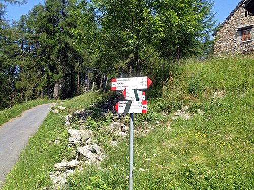
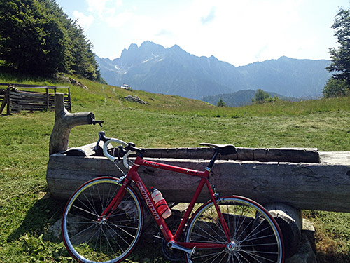
It is a long way up to the end, but the road has some easier parts higher up. It is irregularly step as with many really small roads. You can see the profile of the climb from Roledo (315m) (the slightly harder alternative) and it is among the 30 hardest climbs in Italy on salite.ch (incl. climbs not possible with a road bike). It did not feel too bad as being the first climb of the day though. There were a lot of debris on the somewhat new pavement on the last part of the road and just before the end you get an alternative where both are asphalted and I went to the left as I imagined that might go a little higher, but the asphalt only ran out a few metres there. I continued on the gravel for a few metres when the road starts to descend along the west side of the ridge to some houses there (I doubt it goes very far or that one could continue there). Instead I walked down a path in the fields to the end of the other road and the first photo here is from the highest point and the second from the place you see in the first photo. The photo here is from the sign at the last road choice – the road I took to the left (that you see here) is actually not on any publicly available map (for ca. 150m).
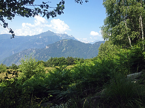
On the way down I could stop and enjoy the views and take photos. Really great views here!
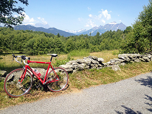
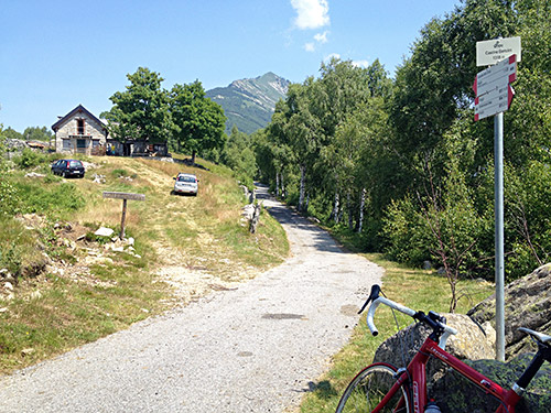
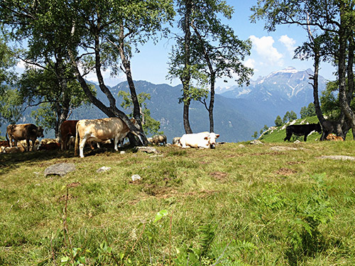
There are also some cattle up here and I think there was one place for water.
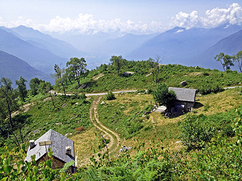
This is just above the steepest first parts from Altoggio and where you really start to get some great views. I then continued down to Roledo by Val Formazza. Here I took a gravel road short-cut (only gravel for half a kilometre or so under the motorway) and then connected higher up with the main road up Val Formazza. Now the lovely morning was over and it was hot and it was Sunday with many cars going up the valley. You would be better of cycling on any motorway than cycling up here on a sunny Sunday in the Summer! It was only toward the end of the valley that I got really irritated over all the cars though. Now, Val Formazza is a LONG valley and I wanted to stop early to get a proper lunch, but the first place in Crodo was full with people, so I continued and now the road starts to climb a bit.
I stopped in Baceno (which was the place I was supposed to be able to get back to the day before, so far behind schedule now). Here were one newer hotel that I had thought about staying at when planning, but I saw an older hotel just before it on the other side and it looked more intersting to visit that. There were only a few people there and I had a simple lunch. It was a very nice place. I much prefer older places even if the food may vary in quality a bit more. Italy is one of the few places around where one could still find places that has a look and feel of being from older times and it is lovely. It had been a short descent to Baceno, from where one could go up to Alpe Devero, but I had planned a much lesser know curious road up there to Lago di Agaro (1599m), but had to start skipping planned detours now again.
I started to climb up the Val Formazza again and then had another short descent from Premia (800m) to Piedilago (716m), but from there it is continuous climbing. Eventually one arrives at narrow place in the valley and there is a road (the original one) going off to the right but it is marked as being closed to traffic. We are still in Italy and thus that might not quite mean what it says, so I turned off as it looked like there would be nice hairpins up here (nicer than going in a long tunnel when the weather is good). And although the road had been badly damaged at one place it totally passable in either direction and I think even careful car drivers could possibly pass by. This was very nice apart from some debris on the road and I took the same way back.
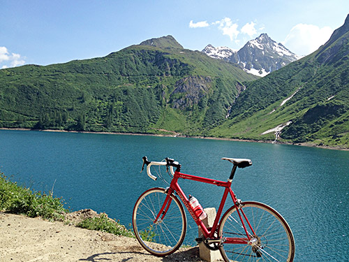
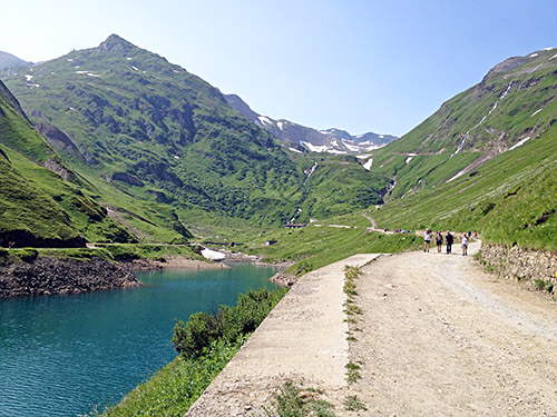
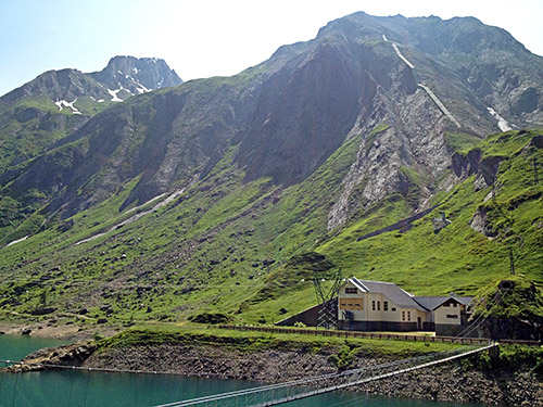
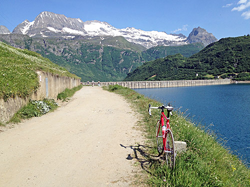
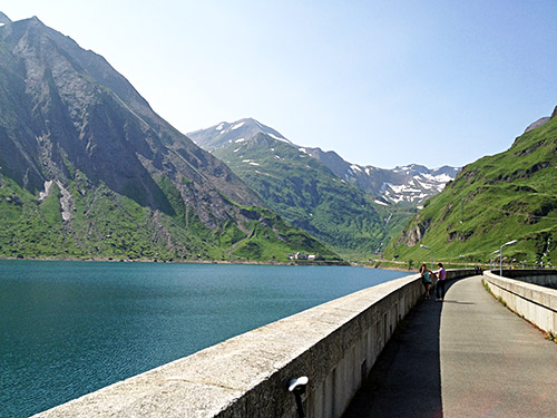
Then I continued up via the big waterfall Cascata del Toce, with too many tourists around and further to the end of the valley at Riale where there are big parking lots. Here there is a road I have spent so much time looking into before up to the Passo di San Giacomo (2313m), where Mussolino would have wanted to build a road over to Switzerland, but the Swiss people was not very interested in that proposal and thus the road ends by the pass and has been left to deteriorate and is really not usable with a road bike these days, which I had realised before and thus had no plan going there. Instead I went up the other side to the Lago di Morasco (1828m) as it is the highest asphalted point in Val Formazza. And it is along the gravel road following the dam that the photos here comes from. One could walk over the Griesspass (2479m) into Switzerland and it might be popular with mountain bikers, but too long walk for me.
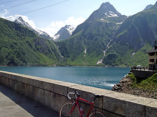
The road is asphalted up to the house to the right in this photo.
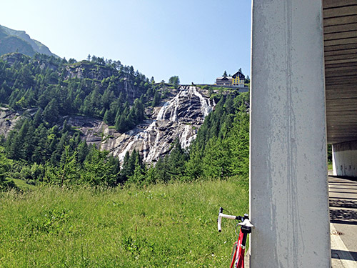
Here is a photo of the Cascata del Toce – most people stopped above to take photos (me too), but the photos does not get any good from there. Generally waterfalls does not get good in photos.
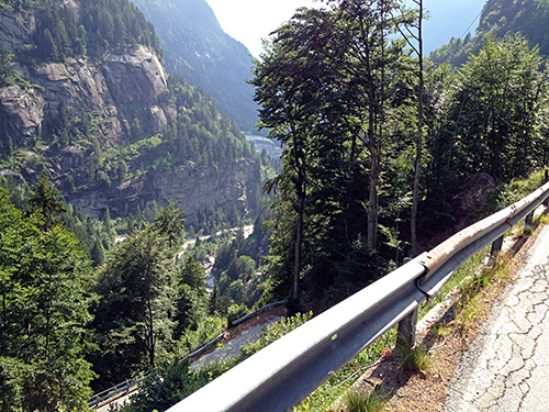
Here I am descending the closed old road down the valley. Then I had a long way back. Eventually I came down to the turn-off for the Simplon pass at Preglia (294m), from where the hardest climb in the area starts, but I had decided to give it a blind eye this time too as it is not clear I could make it and it should have no nice views to offer. I am talking of Alpe Fuori, which might be the hardest climb possible anywhere in the world on a road bike. It is among the 20 hardest in the salite.ch listing and most of the harder ones are either not possible at all on a road bike or they are not really harder. I have been up some of the ones listed before, but doubt they would be harder for me than this one. Grosse Oscheniksee is number 7 in their list and I could do it all without too much trouble, so it is hard to compare these climbs by any automatic system of measurements.
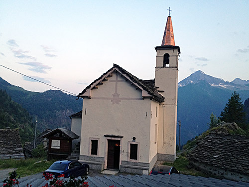
I continued down to Domodossola and through the cobblestone roads down to Villadossola (255m) from where I started out somewhat late now on the climb up to Lago Alpe dei Cavalli/Alpe Cheggio (1496m). After a while I stopped by a bar in the long and increasingly lonely valley to get an ice cream and coffee and ask about the prospects of finding a place to sleep at for the night maybe at Antronapiana. The lady in the bar at Rivera was not so helpful, but the man was nice and told her wife to call the small hotel up at Alpe Cheggio and see if they got a room for the night. I had not realised there was a hotel there. I knew I would be very late up there so going up and back down might not have been an option, but luckily they had a room for me. So I went on my way up filling up some water as I passed by Antronapiana (902m). I met someone who looked a bit curious at me when going up this late in the evening, but it was a nice climb on a very narrow road from Antronapiana. I got something to eat at the hotel and it was all fine and I had a lovely view from my room as you see here.
