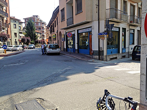
Perfect weather again. Nice little ride to Borgo San Dalmazzo partly via a minor road to avoid the busy main road. I stopped at the same little grocery as on my last visit here, though the shop was slightly more busy today. I had something to eat and drink and continued via Roccavione (648m) on the main road up to Col de Tende/Colle di Tenda (1871m). Here by the grocery the first sign for Colle di Tenda appears as you see in the photo. I had planned to take the smaller road through Roccavione, but took a wrong turn and then thought I could as well continue on the big road as I saw no signs forbidding cyclists there. The two roads becomes one a little after Robilante.
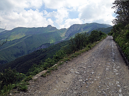
The road is very popular in Summer and many stop in Limone on the way up. I stopped to fill up water but then continued up to the traffic lights by the tunnel (1321m). This was the second time I have climbed Col de Tende/Colle di Tenda (1871m) on the easier north side. The road is asphalted to the border to France which is located at a pass-like place just 500m before the pass. In the photo here I continued to the left at this point up to where the asphalt ended. The road continues to, but will turn worse after a while as it then contours the ridge to France and crosses many passes (a route very popular with mountain bikers, but possibly this road is being prepared with a better surface according to rumours).
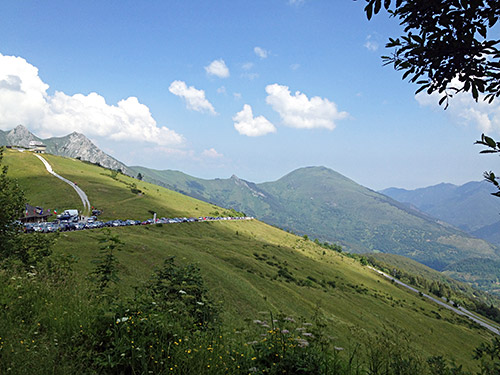
Then went back and up the normal road which starts with somewhat dbad gravel, but this only last for 150m and the rest is actually all asphalted to the top, so the road could be used all the way up with a road bike and I would regard this climb as an asphalt road despite this short gravel section.
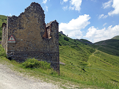
This is the last stretch which is all asphalted to the top (the surface is still not very good).
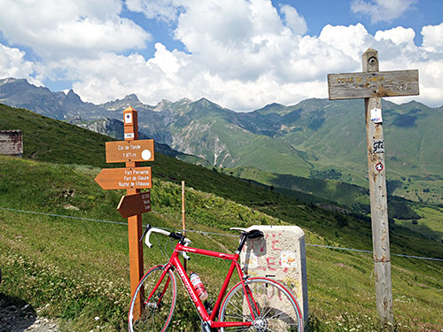
Here are the obligatory pass signs in both French and Italian (and for once they agree on the height – 1871m).
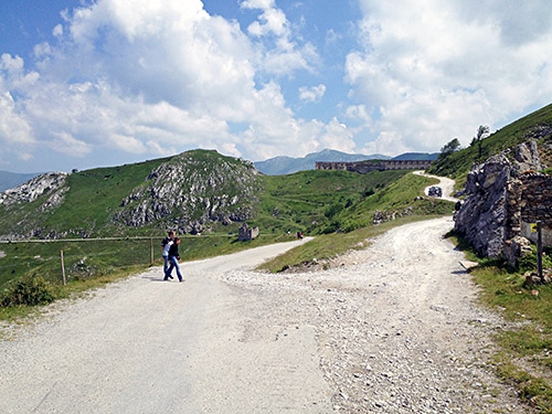
I did not bother to cycle up to the fort building seen here this time.
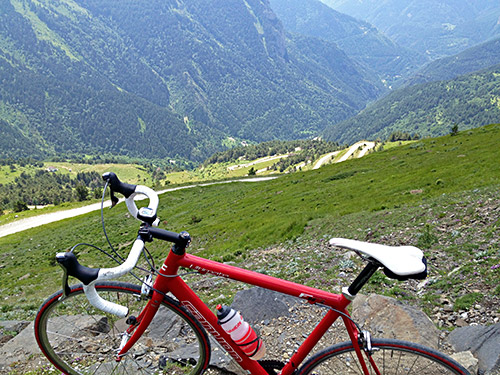
Difficult parking of my bicycle for the shot down the incredible serpentines on the south side of Col de Tende/Colle di Tenda. Unfortunately this road is not fully asphalted, but it is still rideable with care on a road bike, but it was a dusty and not all enjoyable ride down to where the asphalt starts. I really wished they had asphalted this road as it would indeed be a very good passage for all bicyclists as the tunnel is off limits for bicyclists. Or at least that the road via Casterino could be asphalted (a little longer stretch there to asphalt, but not much more difficult).
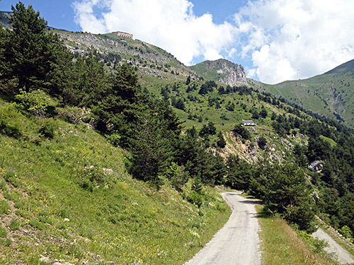
Here at 1565m the asphalt returns! The asphalt is wobbly though, but no problem as one anyway has to descend slowly as the hairpins are tightly packed and the road narrow. Somehow I believe it has been asphalted a bit higher than when I was here in 2002, but the surface look the same throughout down to the main road.
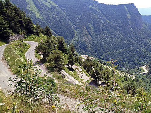
There are 62 hairpins bends! on the way up from the Roya valley if one follows the old road all the way down/up, which I did this time. Just a bend down the main road one could turn off onto the old road which is closed here, but you can get through with a bicycle. The old road down here is not really maintained and there were some angry dogs chained to horrible plastic barrels that they lived in (very hot in the Summer I believe). The main road is nice down the valley, but it is also somewhat narrow and has very much traffic and there had been a motorcyclist accident a bit down from here, but before Tende. They asked me to slow down as I passed by, and I did, but continued as I would only be in the way staying there. Luckily the road was thus car free after the accident, but I soon stopped in Tende anyway to have a coffee and ice cream (at a rather bad café – guess I was over in France now … but I had tried to promise myself not to complain so much about the French, so … ;-)).
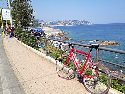
Then continued down the the increasingly busy road as one get back into Italy again when continuing straight down here. It is a long way down to the sea here, but eventually I was down at Ventimiglia (6m) that I have told people along the way that I was heading for, before going back again. Now I was there and thus only had to go back again. I stopped again for an ice cream and coffee, while tourists were coming into the café dressed in bikinis, apparently coming up from the beach. Quite a difference from up at Col de Tende/Colle di Tenda, even though it was almost as hot up there I saw no one in bikini! ;-)
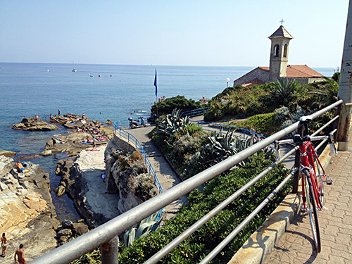
Stopped for the two first photos taken after Bordighera, which is actually the first place along the Via Aurelia where you get a view of the sea. From here I continued only a bit further to Ospedaletti.
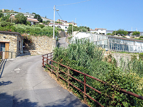
Just before reaching the centre of Ospedaletti (24m) there is a road going off up the mountain (I had looked closely on the maps here and noticed I could take a small short-cut up a parking to meet this road from the way I came and also found this). Follow the main road up here and the road called Ospedaletti. If in doubt take the steepest road going up. This is a more direct road up to Coldirodi (251m) and this was possibly the most steep road I managed to cycle up this Summer. It was at least 24% up the ramp in the photo here. The last ramp up through the houses is also around 20% and I met a car there and had problems starting again after having to stop and back down a little as there is no way one can meet a car here and stay on the bicycle.
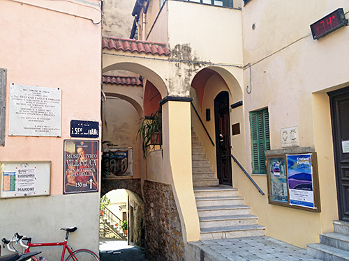
Coldirodi is a nice little village on the way to Monte Bignone. I filled up water and (sort of) changed soem words with some local men before continuing on the small road signposted Monte Bignone, but went a bit too far up (to ca. 324m, with a terribly steep end again) before realising I had gone too far. Went down a bit again and got out on the main road up to Monte Bignone and from now on it was a more relaxing climb with nice views down over the Mediterranean sea.
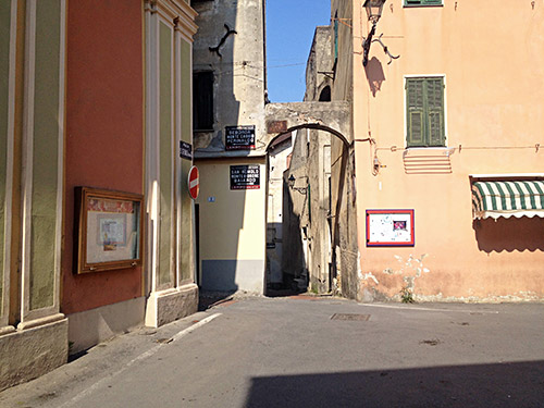
The road to Monte Bignone is to the left here!
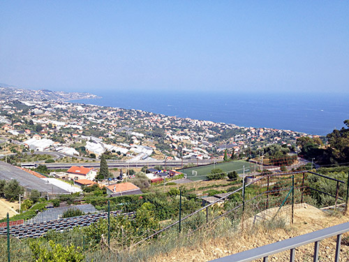
Here is the view from above Coldirodi on the end of the terrible climb up there.
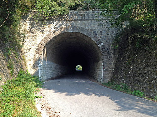
At the crossroad high up I continued up to Colle Termini di Bajardo/Galleria Brunengo (896m) and went through to take this photo as there were not so great views up there this was the only photo before I went back down again to the crossroad, to continue toward Monte Bignone. There is a steep small road going off the main road to the actual Monte Bignone (1244m) and I had thought to go there, but that was the only thing I skipped from the original plan this day, which otherwise went exactly according to plan apart from being the day I should have done the day before (one day behind now). So only got up to 1065m along the main road that continues to Passo Ghimbegna (892m) and Bajardo.
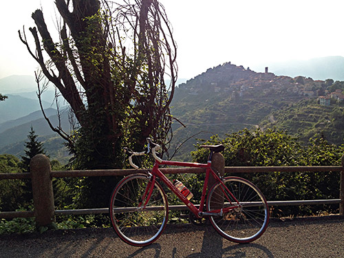
Went over the Passo Ghimbegna and down a little on the road to Bajardo to have a photo of the nicely located village. Then went up a small local road to see if there might be a pass sig up there as I found none at Passo Ghimbegna, but that road becomes a gravel road after a short while with a sign pointing to Colle Termini di Bajardo (apparently only for walkers). Then back down at the crossroads on the other side of the pass here. Here I was taking the forestry road up to Monte Ceppo, which is the highest asphalted road anyway near here at over 1500m (apart from the one I was continuing on later).
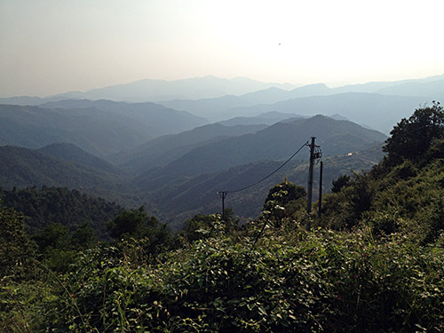
The road over Monte Ceppo was in a terrible condition! Time was really running out now and I tried to go a bit faster, but the surface put me to test here and the road is much longer than I had thought. I went up a steep concrete ramp to a small pass along the road with an angry dog at the house by the pass: Colla Serra (1097m). (There is arguably another pass on the main road before where there is another road going off down a valley – (Colla) Cima Mairise (1046m).)
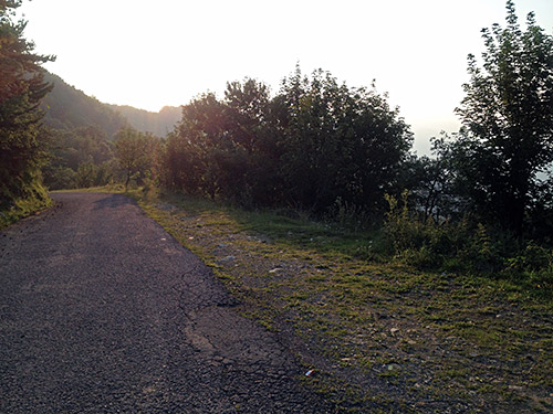
Eventually I reached the actual top, which is also an unnamed pass – Croce di Presto/Pian del Vento/Fascia Runda (1501m). Then it was downhill without much views to a chapel (San Giovanni dei Prati) along the road where some children were out playing. It started to get a bit chilly now, but I was soon out on the bigger road down to Molina di Triora, where I was not going this time.
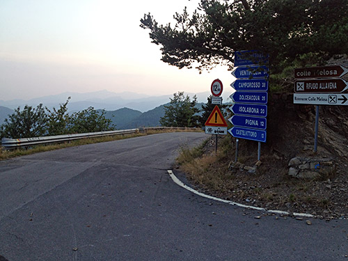
I was going up the short stretch to the Colla Langan (1124m) where I have been before, but that time I never went up the road from here to the end of the asphalt road by the Colla Melosa (1543m), which was the main reason of going up here again as it was yet another of those few asphalted passes above 1500m left in the Alps to visit. As a bonus one also pass by the Colla/Colle Belenda (1382m) and one has quite nice views down toward Triora and near the end of a big lake below.
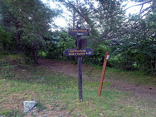
I had decided to stay at the rifugio Allavena up here, but for some peculiar reason I decided to ask at the other restaurant up there if they had a room and they had and I accepted the price including dinner even though it was likely clearly higher than at the rifugio. I regretted it, but was too late to change my mind. Anyway there was nothing to complain about and I do not know how good the rifugio had been. Had a good night sleep.
