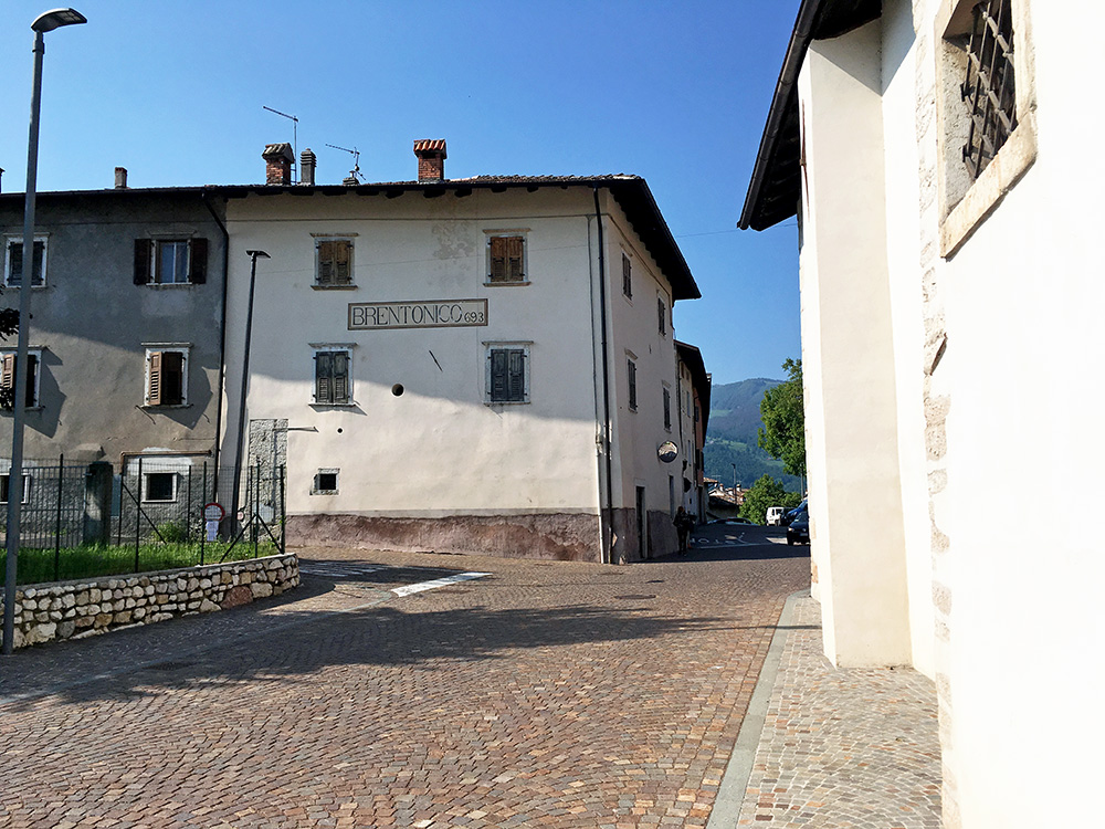
The day started fine in Brentonico and it was already quite warm when I wheeled down to Mori in the morning.
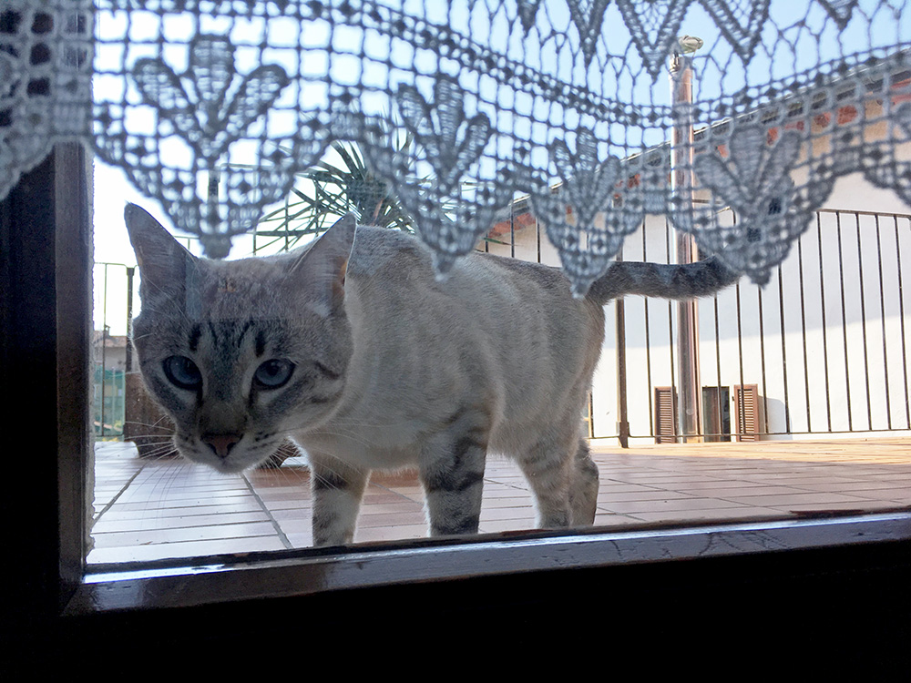
A cat in the morning at the good little hotel.
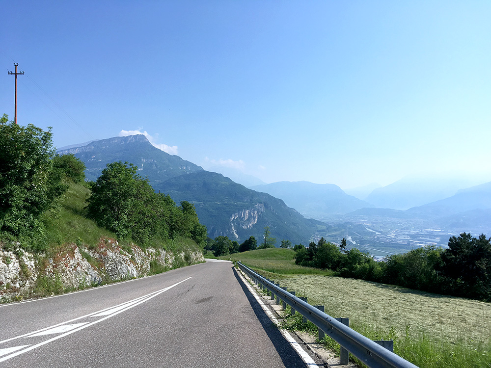
Nice views, but it could have been a bit less warm this day (30°C in the shadows or more).
I was staying on the road on the left hand side up the Vallagarina/Lagertal (the valley is called Valle dell’Adige/Etschtal closer up to Trento/Trient and up to Merano/Meran) via Villa Lagarina (177m) to Pomarolo (183m).
I had been curious about the road up from Pomarolo when studying for creating my map of all +1000m paved climbs in the Alps. This is a very little mentioned climb in the area and it is a nice climb, but maybe not with so many clear views on the way up. It is a fairly steep, but not exceptionally steep climb: 10.7% for 10.17 km.
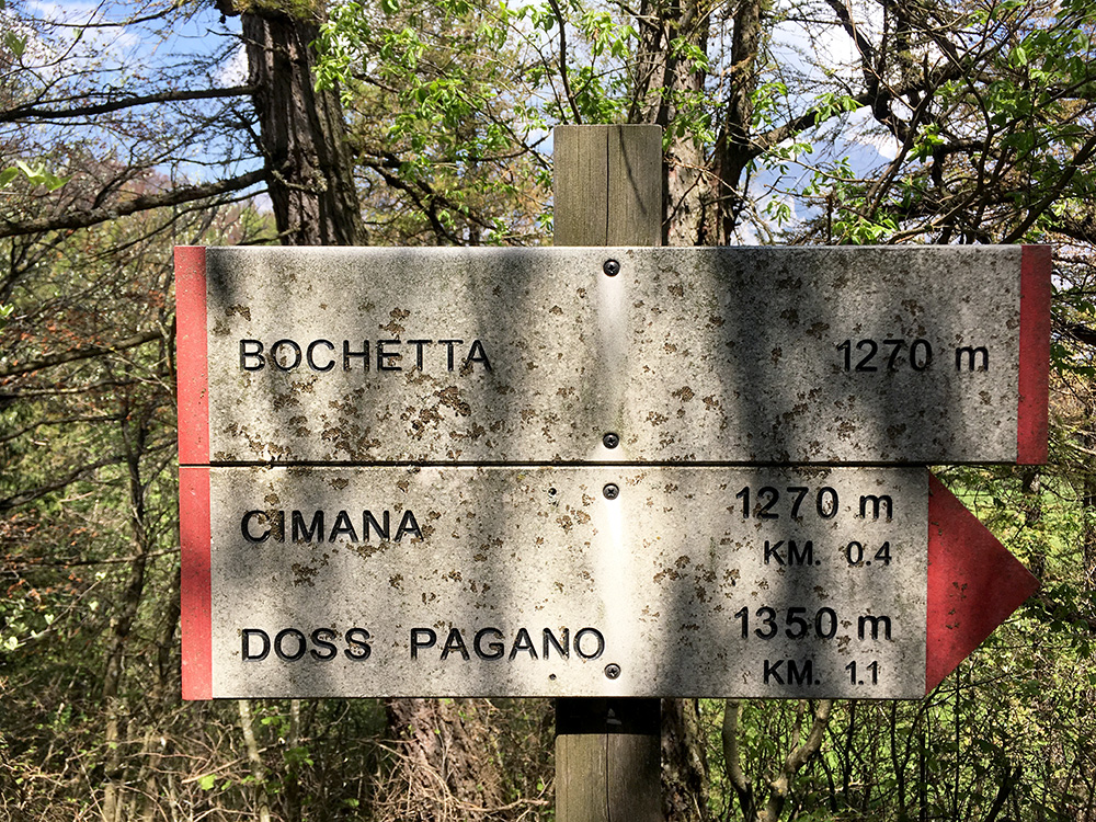
I was a bit surprised to find a pass sign at the end of the climb just where the asphalt also ends. Bochetta/Bochéta (Cimana di Pomarolo/Cimana dei Pomaroi) (1265m).
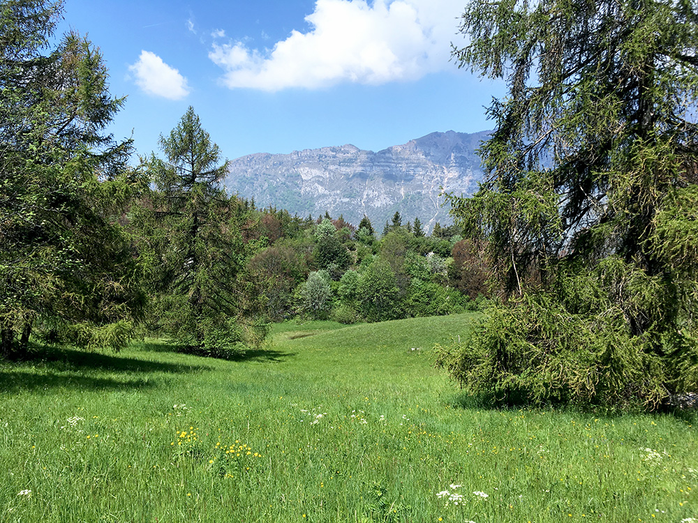
Nice views on the other side up here. The gravel road continues in a short distance to a farm, that might be a restaurant also.
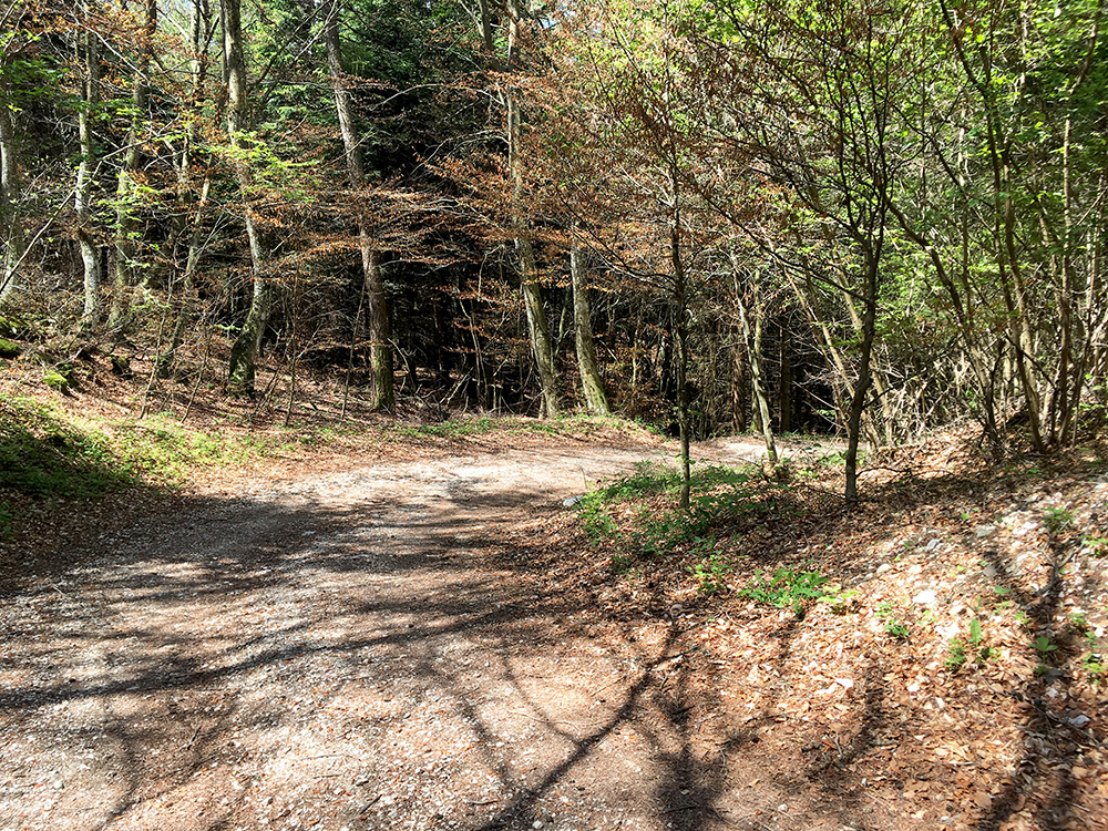
I had, however, spotted a connection road to the road going up to Cimana dei Presani (1188m) and had gleaned from a comment on Strava that it was not asphalted, but decided to give it a try. I even missed to notice the road on the way up and that sort of suggested it was maybe not so good. I found the dirt road and it was quite bad at start, but it did become a bit better later on and after walking 100m I cycled down the rest.
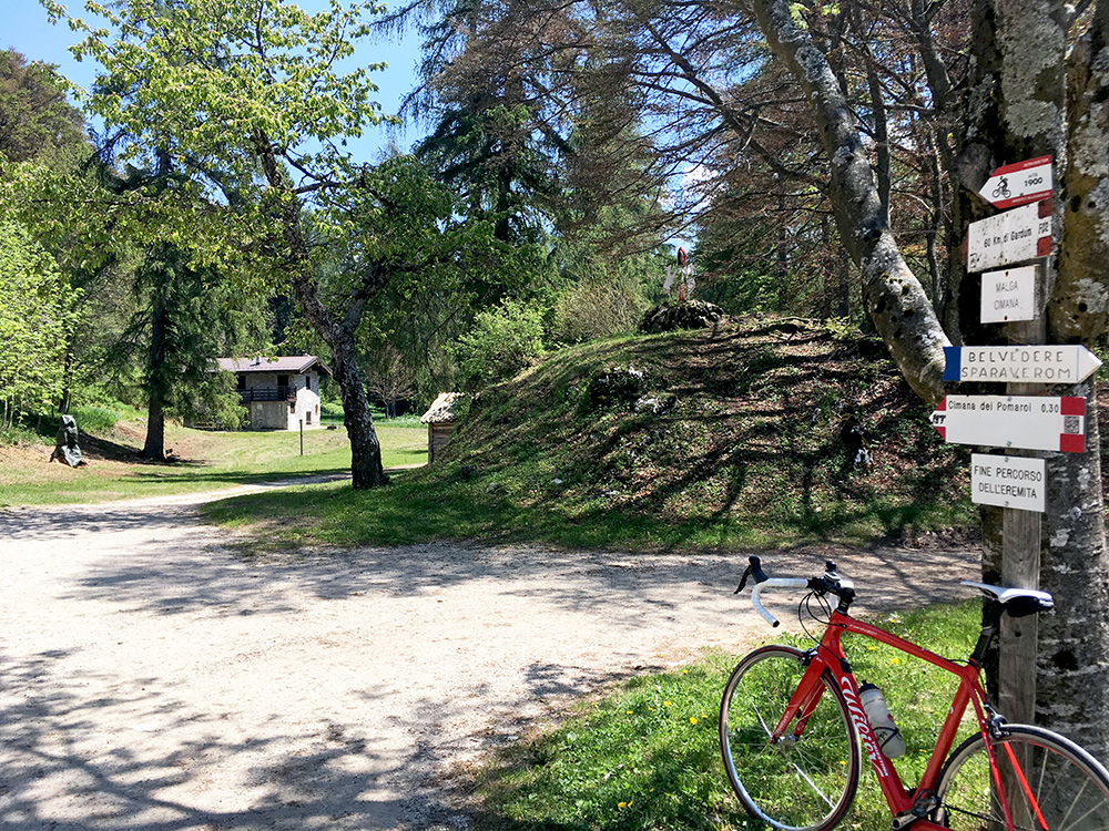
Down at Malga Cimana dei Presani I had noticed there were great views from a nearby viewpoint – Belvedere Sparaverom as the sign says. So I walked up there for some photos and also wanted to see if the malga was open.
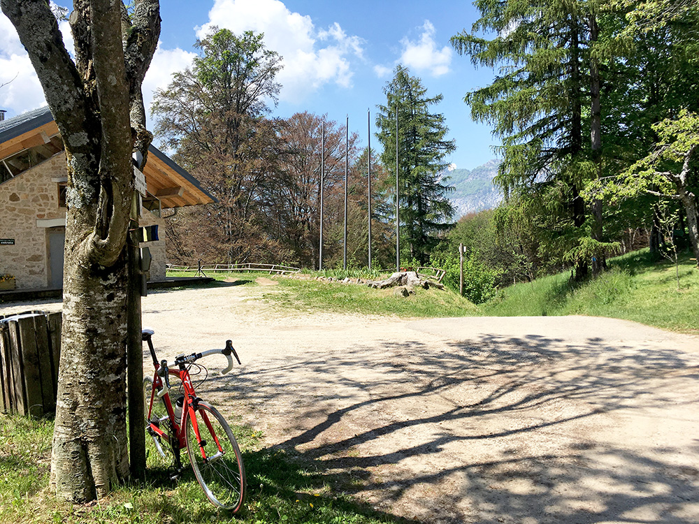
Down here there is the last steep paved ramp up to Cimana Presani on the road from Lago di Cei (or from a possible short-cut road that could make this a hard climb too).
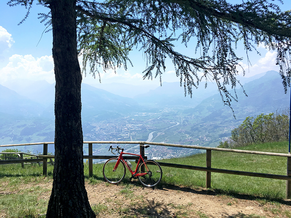
Good views indeed and I was not too eager to get down below given it was hot even up here now. Looking down over Rovereto.
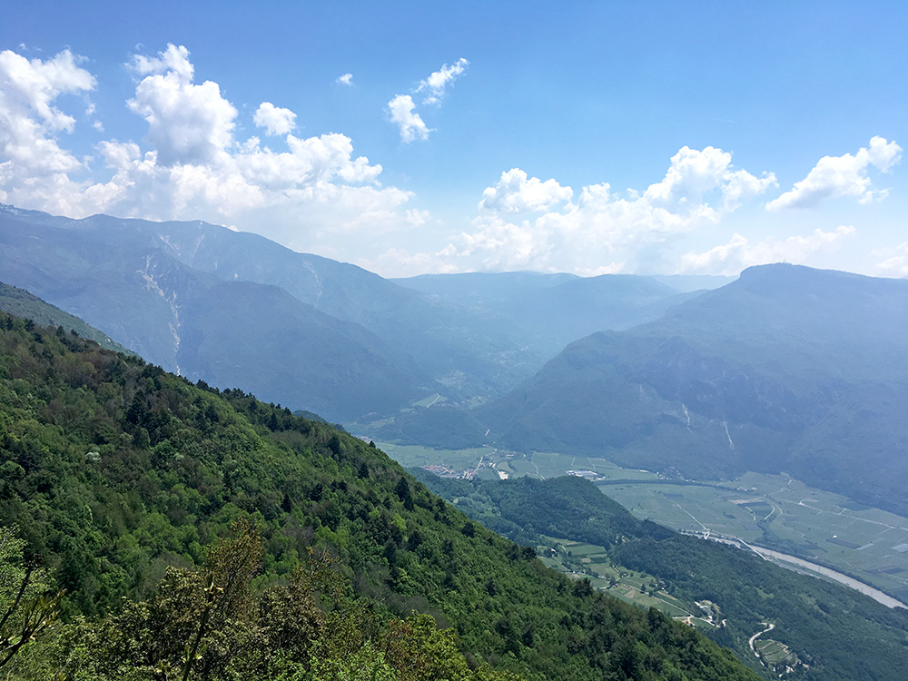
Here I am looking up the valley up to Folgaria.
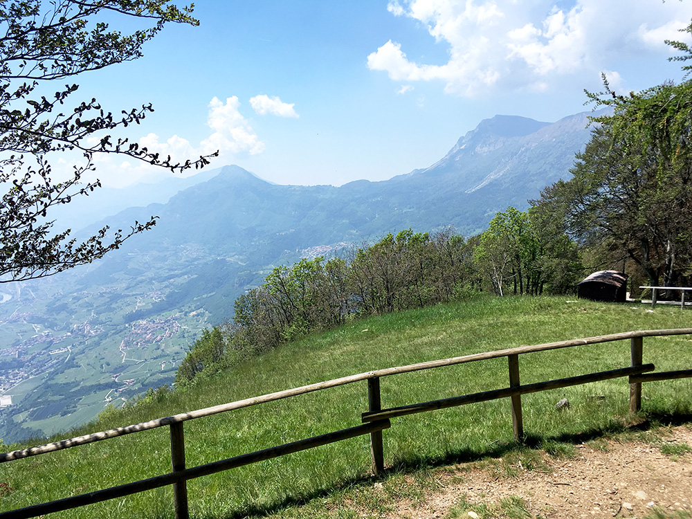
Here I am looking over to Passo Bordala (1252m).
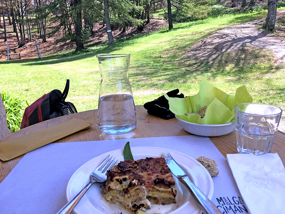
The malga was open and I could not resist to have something to eat and drink. It was all very good, but they had left a hard bone ball in it by mistake (did not have to pay for the beer when I pointed it out), but it was really all fine otherwise.
Then I just had to descend and went down the normal road via Lago di Cei/Capitel de Doera (941m) (also a pass) to Villa Lagarina and to Rovereto (204m).
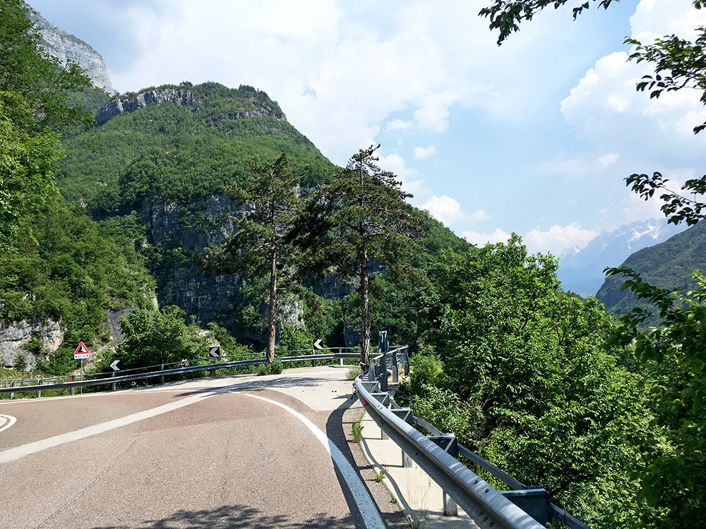
It was time to start out on the long and winding road to Passo Pian delle Fugazze (1163m) (this is actually a +1000m climb too as there is some descent along the way up). I climbed this road before, but then stopped for the night in Foxi.
It was quite hot, but the climb is easy and I did not go fast. Here stopping for a photo at perhaps the nicest place along the road and a place where the road descends a little.
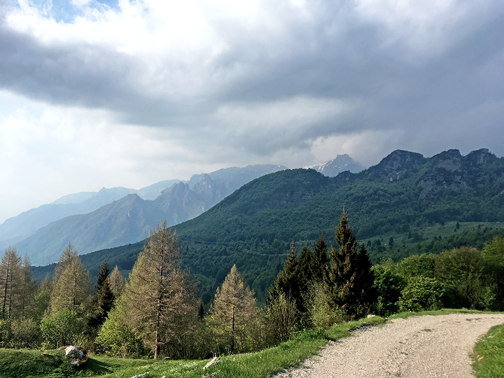
As I continued it started to get cloudier and I even stopped briefly to take cover for a rain shower, but nothing much came out of it and I soon continued to the top. I was a little worried about the weather now, but it looked like I would escape rain again, and so I did.
Just at the start of the pass I took off on the road over to Passo di Campogrosso (1458m), which should be climbed from the south side, but I have already done that. Here I went up on a side road to the connecting road as I thought I maybe had missed to see that there was a road going even higher, but it did not go far. Went up a little on gravel to a house (Malga Pra di Mezzo (1440m)) to have a better photo and then back down again.
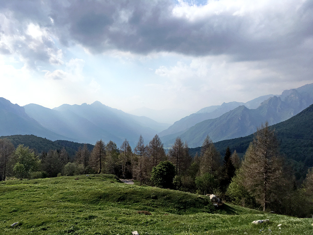
Nice looking down the long Vallarsa valley toward Rovereto.
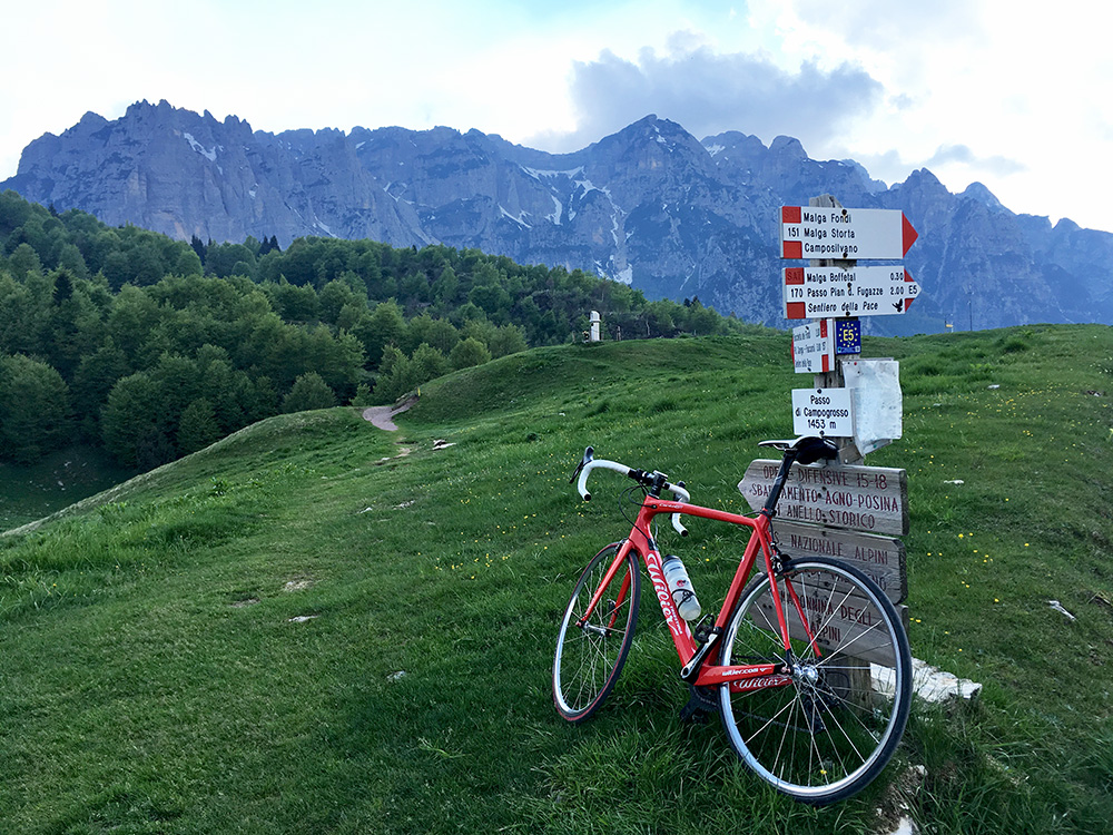
At the pass sign (that for once slightly underestimates the height).
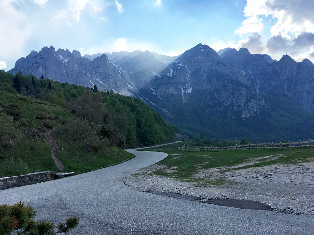
Last time I was here it was all foggy and that was part of the reason for revisiting this pass now. This photo was taken before the one above and it is the view on the Rovereto side of the pass. The road going down here is unfortunately not possible to use all the way down as it looks like they abandoned the finishing of the road at a tunnel, then there is only a gravel track for some kilometres (or it was destroyed in a landslide and never restored, not unlikely, but not quite sure there).
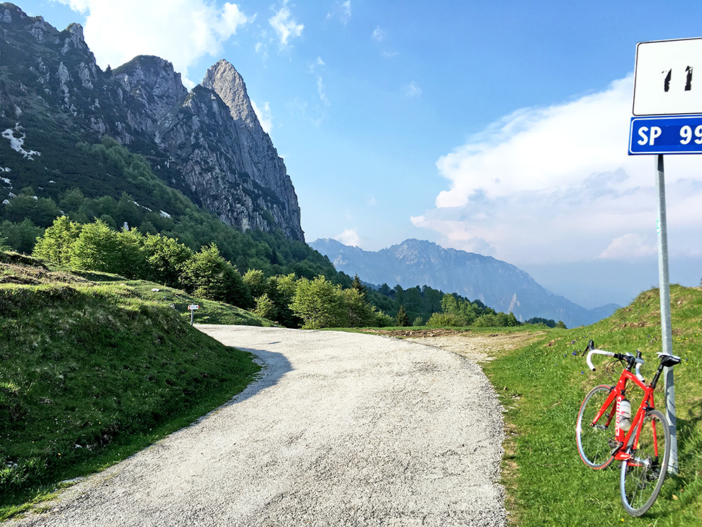
Another thing is that I never went up the higher road on the east side of the mountains separating Passo Pian delle Fugazze and Passo di Campogrosso, which is where you reach the highest asphalted point in the area. The road on this side used to be the better of the two roads on each side of these mountains, but it was destroyed in a landslide many years ago now and never rebuilt and likely there are no plans for it as they built instead a rather fine walking bridge here.
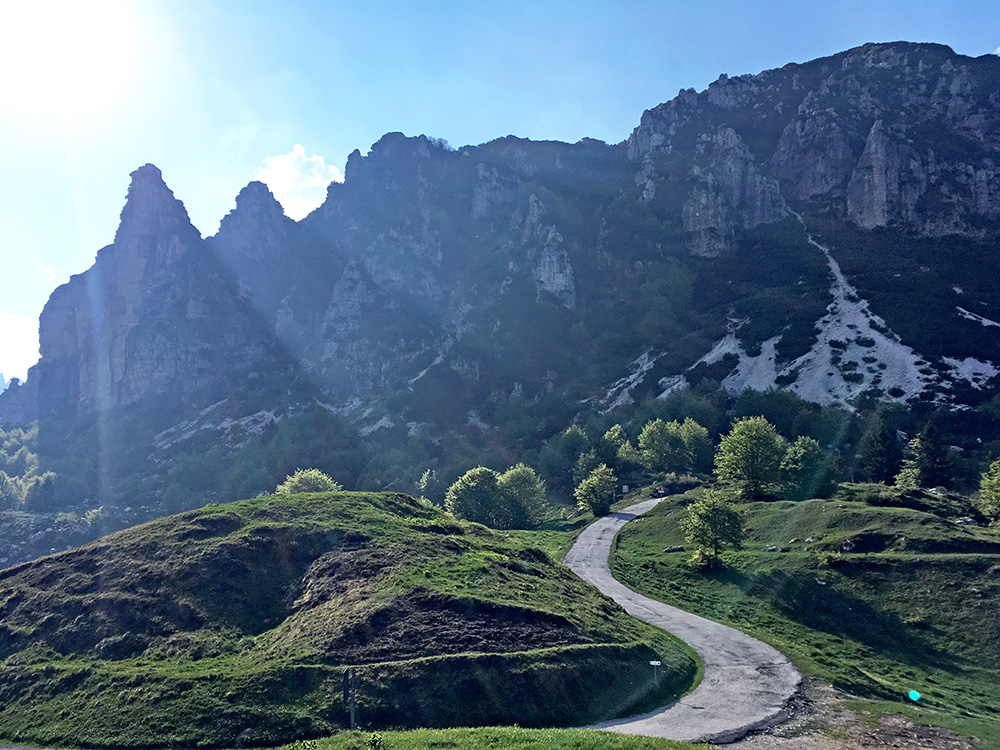
The weather got better again now.
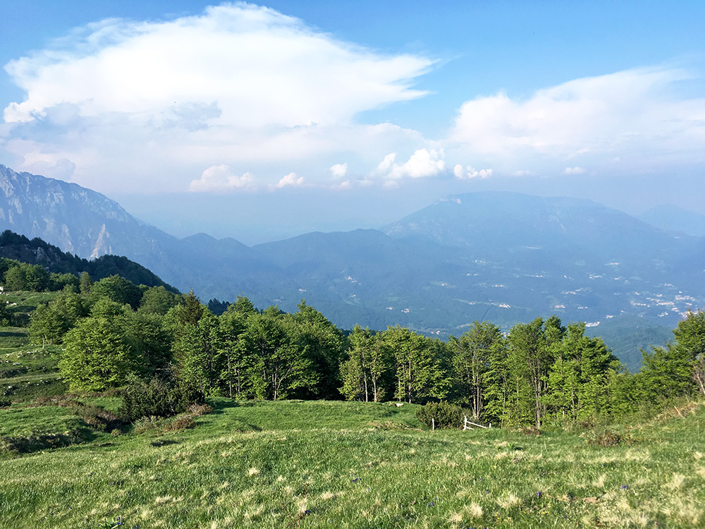
Looking down the east side and the Valle del Leogra (Valli del Pasubio area).
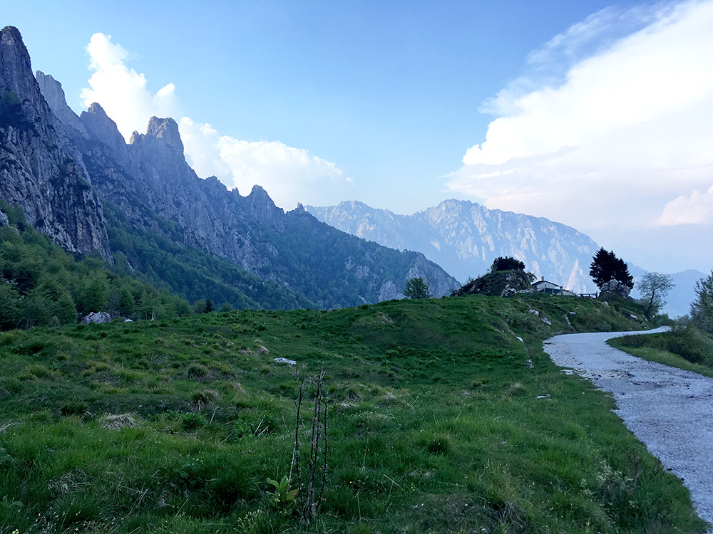
This photo is from the high point of the road to Malga Baffelan (1481m).
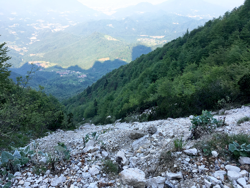
It was still rideable on the first serpentines down, but lots of stones on the road. As you see in the photo here it does not look like an obvious idea to build a road here and hope it would stay just fine for long.
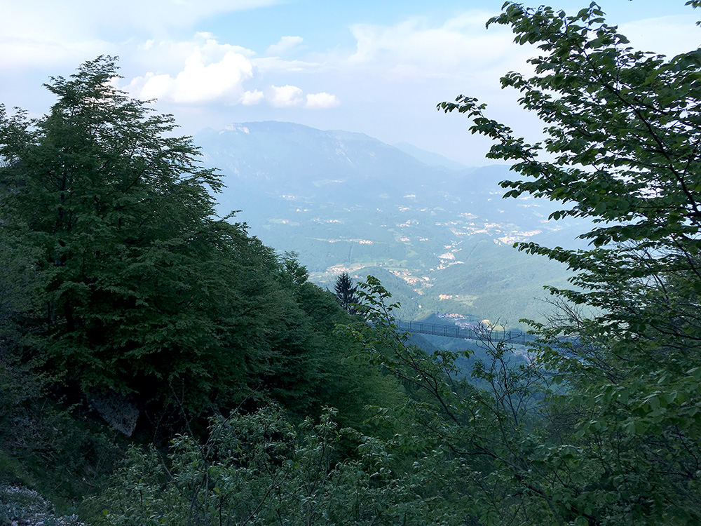
I actually missed the path down to the bridge, but then also wanted to see if the old road maybe was passable somehow. Somehow it was likely passable, but not in any safe way with a bicycle. It was not worth the trouble trying to climb up the mountainside in the hope of getting through rather than take the bridge below, so went back and down there. You see the bridge in the photo here (it looks further away than it was).
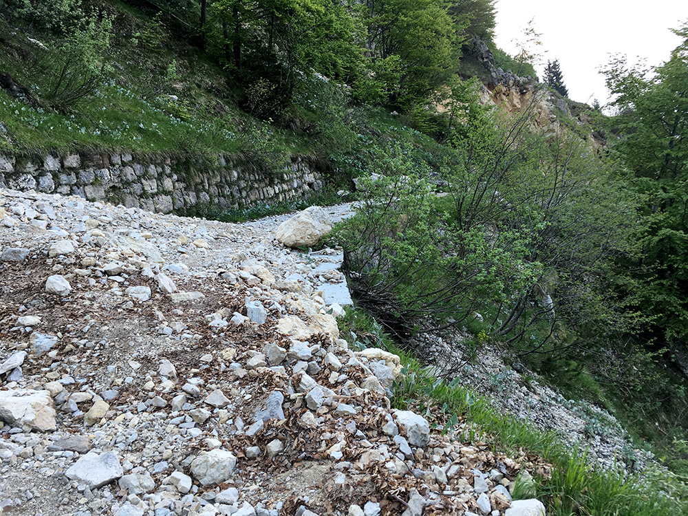
Not the best road for a road bike.
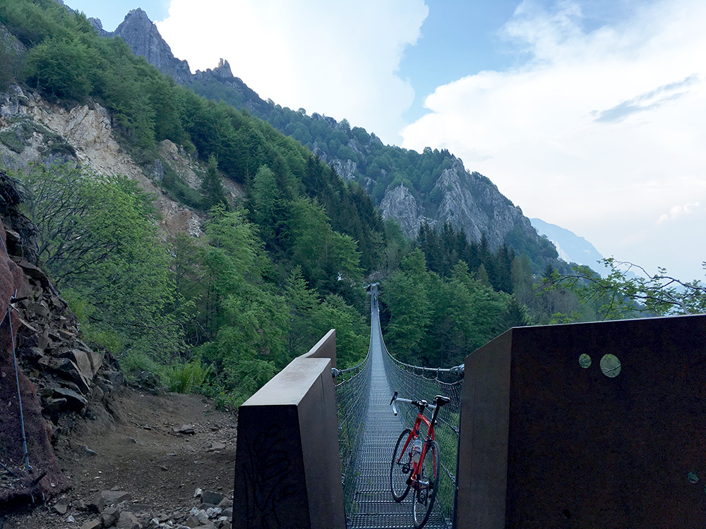
A photo before starting the traverse, but then two people came form the other side and best to wait a little for them. No, I did not cycle, but it would not be much of a problem, I think.
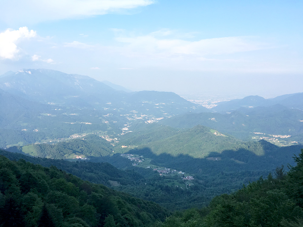
Two photos from the bridge. First looking down.
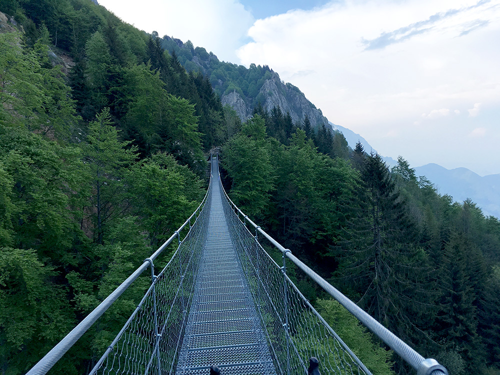
Half-way and the bridge looks as long as when I started.
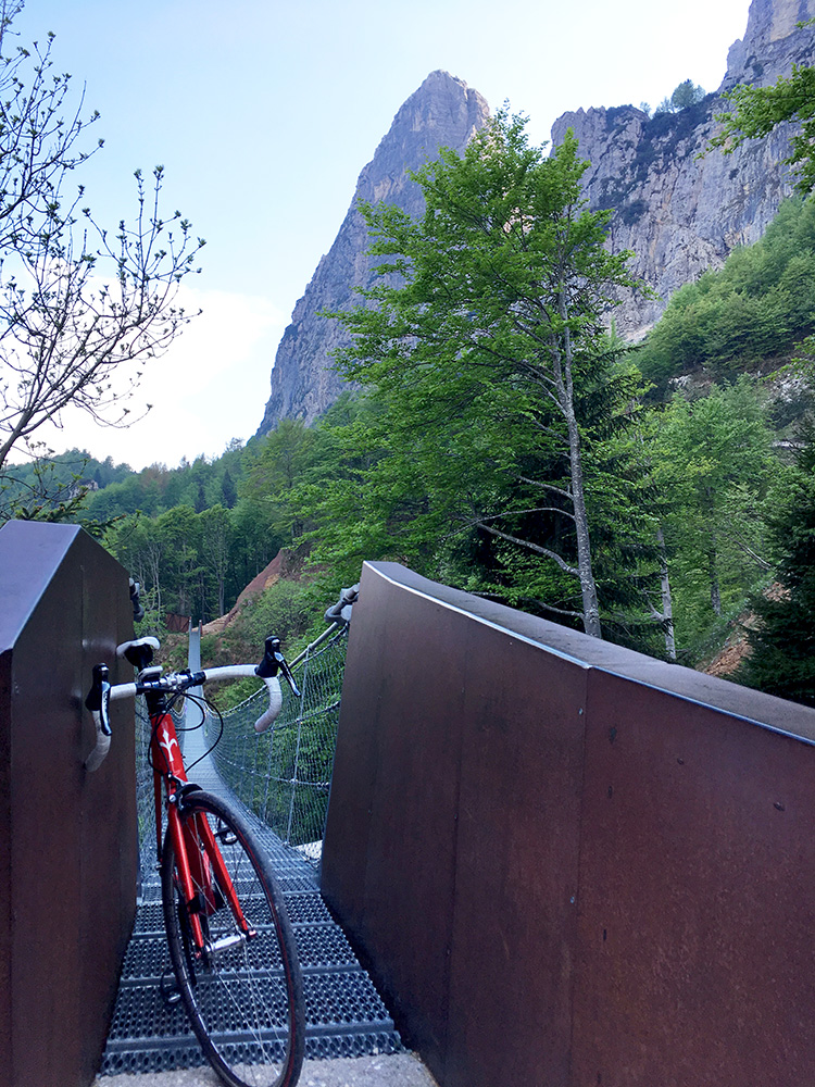
Safely through to the other side and in a short time I could start to cycle down again.
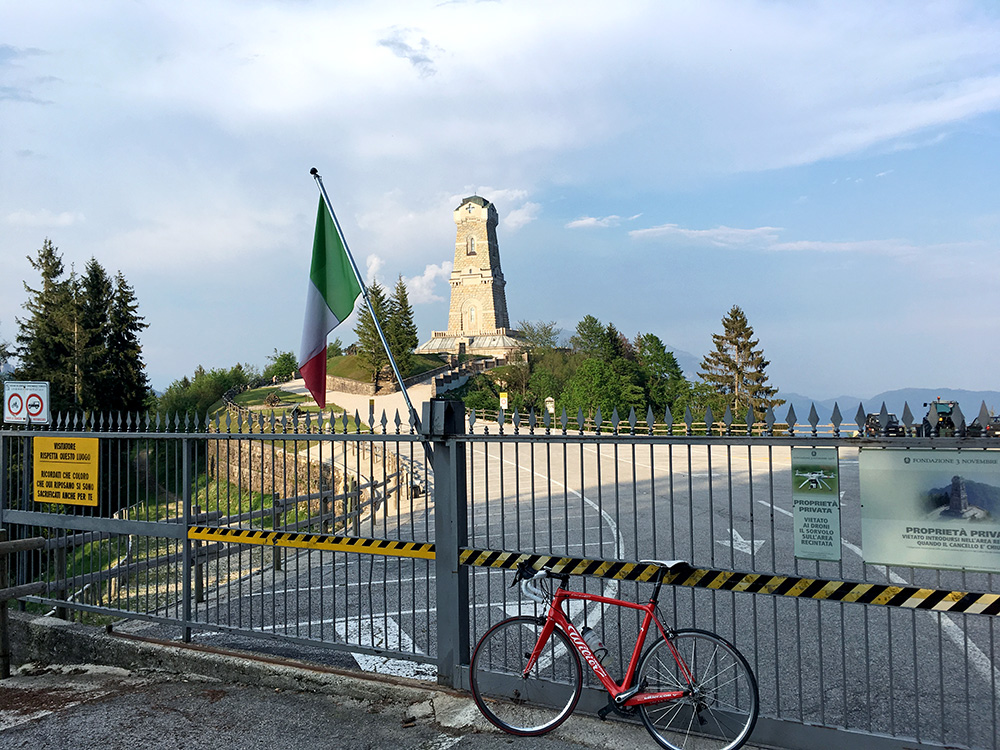
I was happy thinking I finally also get to see the Ossario del Pasubio, but this was the only day of the week access there was closed, but got close enough. Someone has found a pass here too: Colle di Bellavista (1210m, 1237m road height) (not sure that name is meant to designate a pass though as ‘colle’ might as well mean ‘hill’ here).
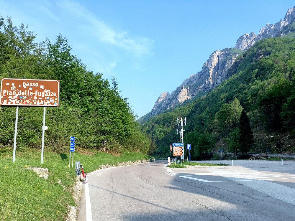
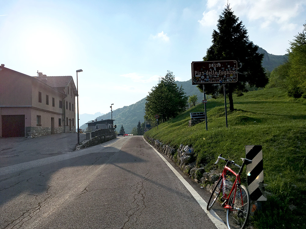
I made the round trip even if it took ages. Back to Passo Pian delle Fugazze (1163m) at last and perfect weather again in both directions.
The road down the Valle del Leogra was really in a terrible state (esp. down to Valli del Pasubio) and I had to go a bit slow. I took the big road through Schio as I went out the valley and around the mountain I had planned to climb (Monte Summano). I continued to Piovene Rocchette (274m), which I went through on a small road in the centre. Thought to stop for an ice cream as once before here, but wanted to get a bit further for the night and decided I just had to go past here and then I could start to look for a place for the night.
It was getting late, but I went over the big bridge to Cogollo del Cengio, where I tried for quite some time to find a place to stay at for the night. Asked a nice man at an old bar (gelateria maybe too) and he finally told me I had to go on to Arsiero to find anything. So some more kilometres in a direction I had not planned to go in as I was about to climb up to the Asiago plain here, but it was a bit long up there this late. I stopped at an obvious hotel in Arsiero (did not see many options there either). It was all fine and a better place to stay at than further down the plains.
