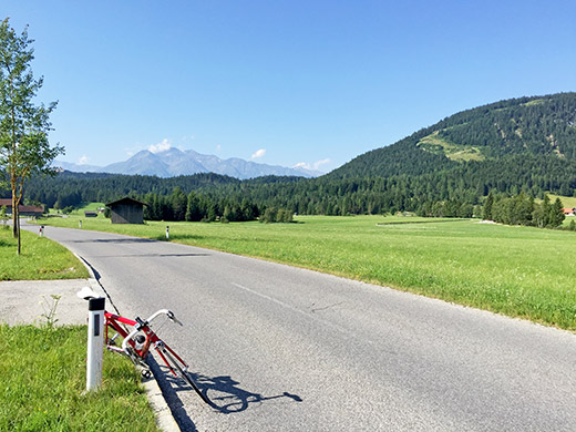
Brilliant and warm weather again this day at the start. A great start climbing up the Buchener Höhe/Buchensattel (1258m), which is not a particularly hard climb. Good views on the climb, but still over on the other side up on the high plateau. Here down around Ostbach I had nice views back to the wooded and uninspiring pass height.
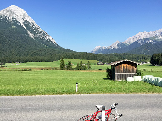
Here from the same place I am looking in the direction of the Ehrwalder Alm (1502m) that I had planned to climb up to from the other direction, but as we will see that would not be a good option, and even if had been so I might not have climbed it anyway as I was again slightly more than one day behind the schedule again. It looks quite inviting though and it should be a popular ride over the pass on the gravel road with a mountain bike, but not sure it is good enough for a road bike, but know it has been done.
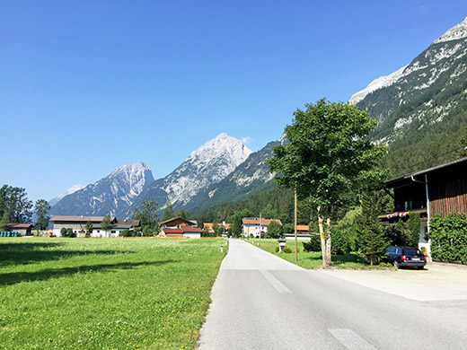
Further down and just before crossing the border into Germany again I am looking back and again with great views. Here was were I had originally planned to stop for the night, but one night earlier (than yesterday).
From here there is a peculiar narrower road winding its way down the mountain side into Germany and Mittenwald (911m). Met some cyclists here and also saw a few earlier in the day, but not that many out likely because of the heat. It was quite hot in Mittenwald and I stopped by a grocery trying to buy a coca-cola and one other soda (grapefruit I guess) and a yoghurt (usually waldbeer (forest fruits) or erdbeer (strawberry) also noticed that blueberry yoghurt and coca-cola worked well together another time), but was nearly giving up paying for the things, when at last I got help paying (it was just chaos in that shop).
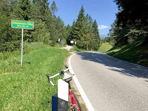
Then I went up a road over a minor pass, the Schmalensee-Höhe (962m), on my way down to Garmisch-Partenkirchen (707m).
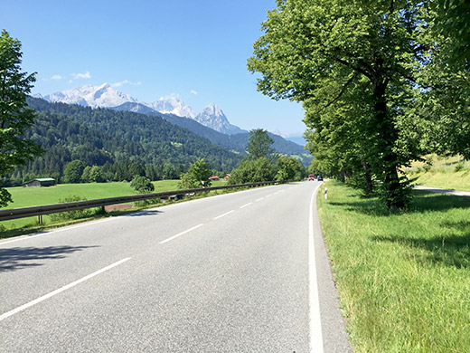
Lovely weather and views up the Zugspitze (2962m) (the highest mountain in Germany, on the border to Austria). (Read on Wikipedia that the Nazis destroyed the west peak on the border which was then the highest at 2964m, because they thought to build a flight control centre there, but never completed this plan.)
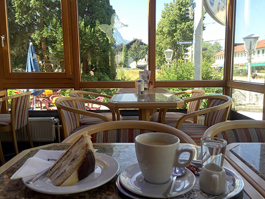
It was all too warm down in Garmisch-Partenkirchen, but I decided to go into a nice looking café and have a cake and coffee sitting inside, which was not less hot than outside unfortunately. They really would have needed some cooling in there to get any guests this day. So even though it looks nice, and the cake was great, I soon had to escape the place.
A long slowly rising road took me out of Germany once again and finally I arrived at Ehrwald (964m) on the other side of the Zugspitze mountain group.
At Ehrwald I found a grocery and bought the usual soda and yoghurt hiding from the sun. Then eventually found a water tap in the centre at the start of the climb up to Ehrwalder Alm just as another cyclist also found it. Back down again and then up the first climb I had meant to climb here out of the two.
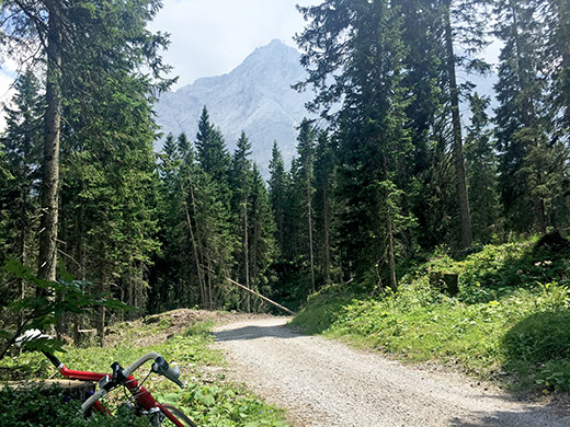
There is a an asphalt road (or so I suspected) climbing a possibly unnamed pass just above the Hochthörlehütte at 1483m. I guess it should be the Hochthörl itself. I first climb the road that continued asphalted after a 100m gravel section by the hütte, that soon turns to gravel again. This is the Thörlenweg and it is a good gravel road. The asphalt road was at first rather easy and wide up to the Zugspitzbahn where a cable car could take you to the top of the Zugspitze. From there a not all that obvious small road continues and soon it becomes steep, but later it was easy again in the woods and only got a bit steep again before the hütte. The only difficult part is the 100m gravel by the hütte that oddly is not so good, but possible if you want to. Here I am on the first road choice above the hütte by the pass looking up the Zugspitze.
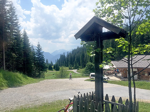
Watching a mountain biker looking serious and not saying hello coming by up the gravel road. That road might go to the more correct pass down a path up there so decided to go up that a bit too, but decided to walk as it was a bit too bad for a road bike.
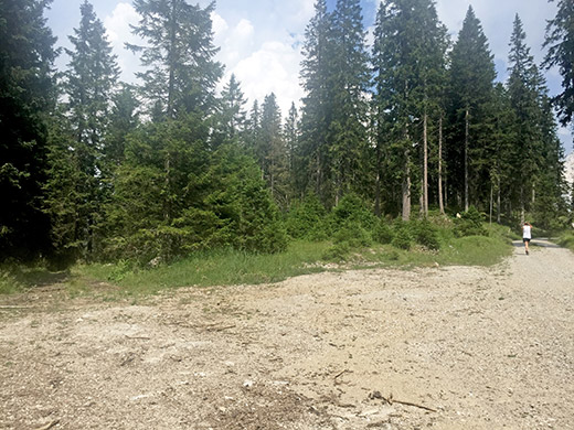
Turned around at the pass up this latter road (just 150-200m up, even though there should be a viewpoint down over the Eibsee in Germany a bit ahead from here, by the border that is very close here.
Back down to the hütte and decided to stay for a sausage with curry sauce and french fries to be able to get going without stopping down in the hot areas again. While I was waiting for the sausage, the weather started to change quickly and the wind signal that bad things where coming. I also heard some vague thunder in the vicinity. I got very quick in eating up and paying!
Full speed down the mountain now and even though people were walking gently on the road, I knew I had to hurry as much as I could (they may have umbrellas and other clothes, but I did not want to get caught up here and always nice to be able to go down fast.
Just as reached Ehrwald the first raindrops came down. I navigated quickly to the train station and found a way around to the right side and quickly up there, but soon got told by a worker there that no trains left from there as they were working on something, so was told to get down to the gas station to take the bus instead. I hurriedly went down to the gas station and 2 seconds after I went under the roof there the sky came down as emptying a monumental bathing tube from above. I was very happy to have made it just in time. However as I was about to figure out if I could take a bus from there, the bus just arrived and left before I could act (also did not want to run out in the horribly rain). So I had to stay here waiting for 30-45 minutes before I could move on again. They got Internet :-) (I am sure my iPhone would be much more useful though). Had something to drink and then on as the rain almost stopped.
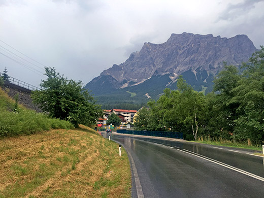
The rain never quite definitely stopped and got a bit more rain later on, but not enough to get wet. Here I look back to Ehrwald, Zugspitze and the woods I had been up and down.
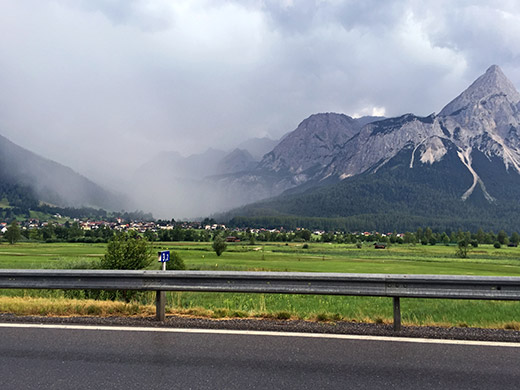
Here is how it looked up at Ehrwalder Alm – guess I was not interested in going there right now! Now it was a long ride escaping rain and getting westward. First I went up over the Lähn Sattel (1113m) and luckily the rain ended up there. The road was busy and only dry where the cars were going, but tried to use the road as much as possible as I did not want to get wet just to please some car drivers, but had to take some wet road also to not be too hopeless.
I was supposed to have gone over the Berwang (1349m) and Namloser sattel (1359m) passes, but no fun in this weather and just wanted to move on as quickly as possible in the better looking west direction. So I went straight down to Reutte and just before getting down there I encountered a long queue of cars and guess I passed by every damned car and lorry that overtook me on the way from Ehrwald. Sort of made me smile as I passed them by, but a bit sad ultimately as it was the result of a motorcycle accident, that didn’t look like it had gone well. The whole area was a chaos now with plenty of ambulances, police and even helicopters and the road hub down at Reutte all jammed. I could however easily pass by with a smile on my face.
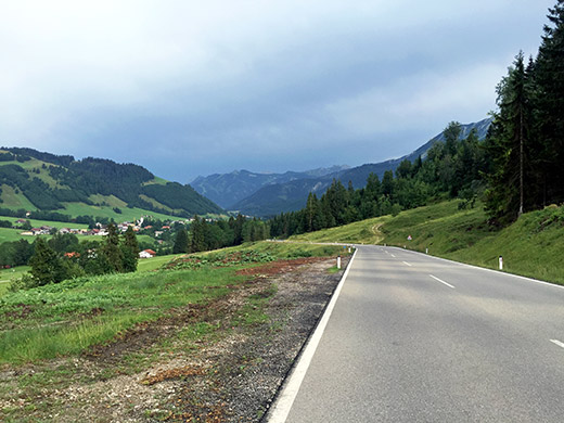
Soon the weather powers found out I had tried to trick them by trying to escape from it all, and corned me on the way trying to escape through a small opening up the next valley, where they effectively blocked my way of passage by another thunder and rain attack. I was lucky again to quickly find a good shelter, but it was not all that welcome. Still I was going up from here, so as long as it stopped raining, going ahead would not be a problem.
I was literally chased out of Austria by the weather that was pushing me out and occasionally throw some rain on me. Guess I was having a pretty good average speed from Weißenbach am Lech (885m) to Oberjochpass (1176m), from where the photo is taken as I eventually had escaped for real. This is just at the border.
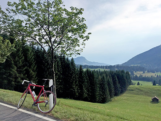
Looking north from the Oberjochpass.
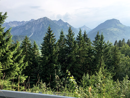
The more obviously correct pass is at Oberjoch itself (guess one could argue that it is in fact two passes). Went through the village and now the weather was nice again. It was a very nice road down from Oberjoch toward Sonthofen and it would be really nice to climb that road. This photo is along this road, but does not quite do justice to how nice it was here.
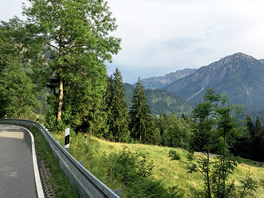
Here is a better attempt at catching a nice view on the way down.
Down in Bad Hindelang (812m) I stopped in the centre by a peculiar beer bar – only served beer essentially, but I managed to instead get a coca-cola. Talked with the locals there a little about my next intended climb for the day. I was going up to Klankhütte (1414m), which seemed like a wildly crazy idea to them on a road bike, but they wished me luck. Off I went, and of course I took the wrong road to Gailenberg (just as the men in the bar first also thought I meant). The turn-off for Klankhütte does not look too inviting and convincing. It is rather bad asphalt and a very narrow road with some debris on right from the start.
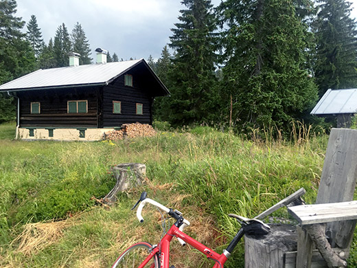
Here I am finally at the very end of the road by the Karl-Hüller-Hütte (1434m). Not too good views from here.
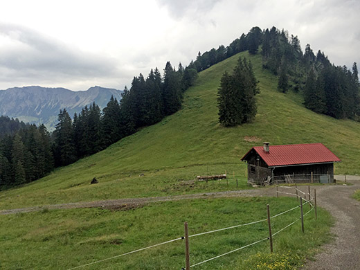
Much better views from around Klankhütte just below. Klankhütte is arguably a pass, which was part of the reason I choose to do this climb – there are many very steep climb, like this, all around the area, but none other really leads to a pass, apart from two more climbed the next day.
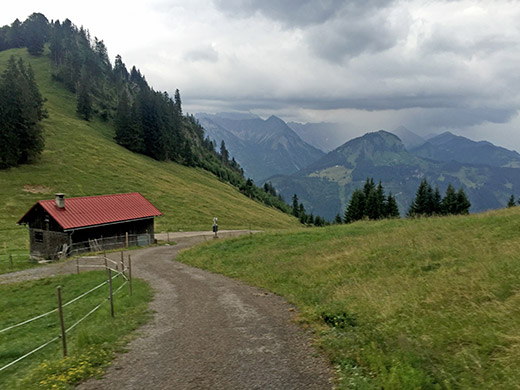
The nicer view down in the direction I came up from. Now it was obvious the weather has turned for worse again and I had to hurry a bit down.
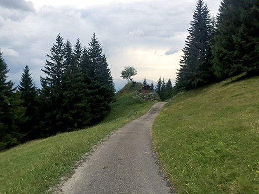
The road from here and down is however very steep (irregularly so) and it was quite hard getting up (up to ca. 20% max). So I had to go very carefully down, but not too slowly as I did not want the road to also get wet and with some debris on it, it could be even more dangerous then.
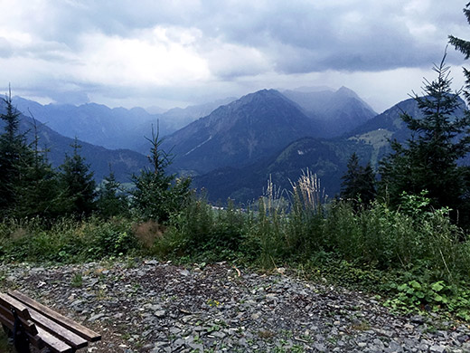
I stopped a last time at a nice watchpoint place on the way down. Just as I came back to the bad road it started to rain more heavily. At the first place I stopped at no one opened so continued down to the centre of Bad Hindelang and asked at the obvious Hotel Post there for a room, which was no problem (apart from being across the road). It was a nice place with friendly staff and good food. I had hoped to go on a bit further this day, but it was close to stopping time anyway and with the weather this was perfect. The climbs always takes a bit longer than one thinks … . The next day would be the last one (hard to comprehend even in telling the story here.)
