I had planned to do a two-day tour into Slovenia and Austria, and given the weather forecast I had to do this as early as possible. It was not practical to get away on the first day, but the weather should be fine at least at the start the next day and then I just hoped I maybe could escape some bad weather later. So got on my way to one of the places that was highest on my must visit places, which was the Altopiano del Montasio (1540m).
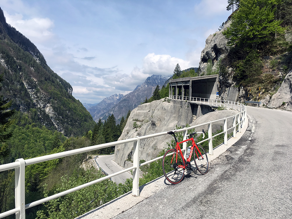
This climb starts at the beginning of the Val Raccolana/CjanÔl di Racolane (378m). It is a very gradual climb at first, but then the road becomes steeper toward the end of the valley as the road takes you up to the Sella Nevea/Nevee/Na Žlebeh/�Neveasattel (1189m) and the ski resort Sella Nevea. The photo here is at one of the nicest locations on the way up the last part.
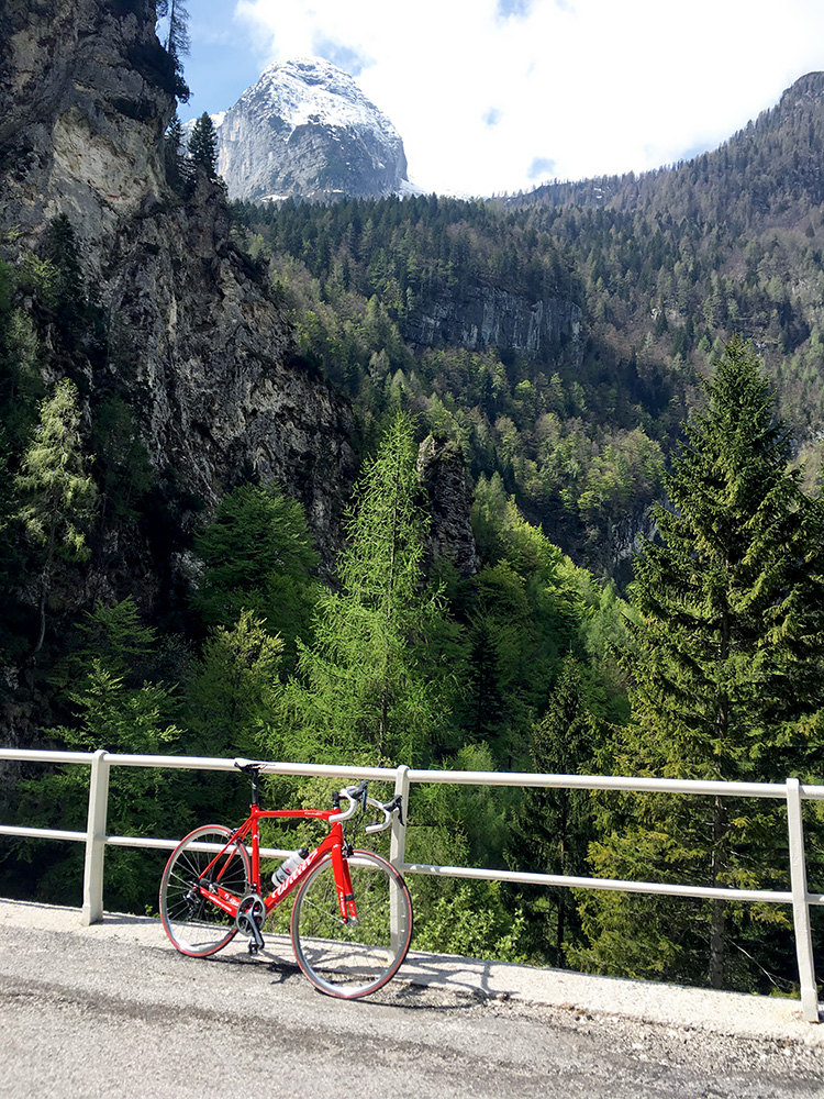
From the same place one also sees the Monte Canin/Mont Cjan˘n/Visoki Kanin (2587m) which is a very obvious reference point in the region.
The road to Altopiano del Montasio takes off just as one reaches Sella Nevea. It is a surprisingly narrow and surprisingly steep road. This is really a hard climb for being included in the Giro d’Italia, but they do not shy away from steepness like they do in Tour de France.
I just was not going to give up on this climb and made it up fine, but one easily becomes worried that the steepness might continue until one give up, but luckily the steepest part was not so long. The road evened out at the top and there a small road takes off right up the mountainside a few hundred metres and I had checked that it was the highest asphalted point before, so followed it and there the views was also the best.
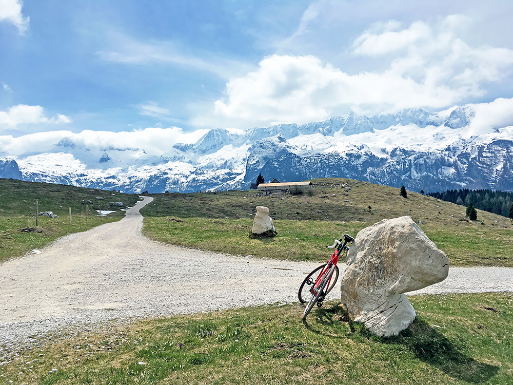
I could not resist to continue a bit ahead on the gravel road here in the photo (the road goes back but higher and then descends to near Sella Nevea, but I just wanted to go to the high point to see if the views was still better there.
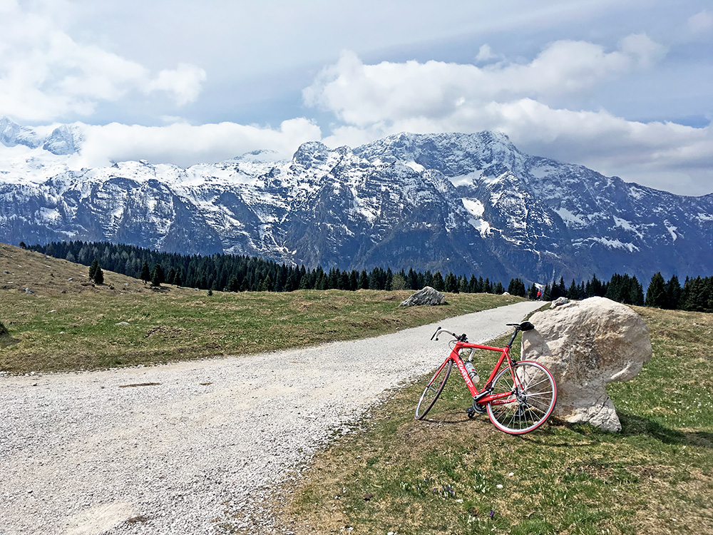
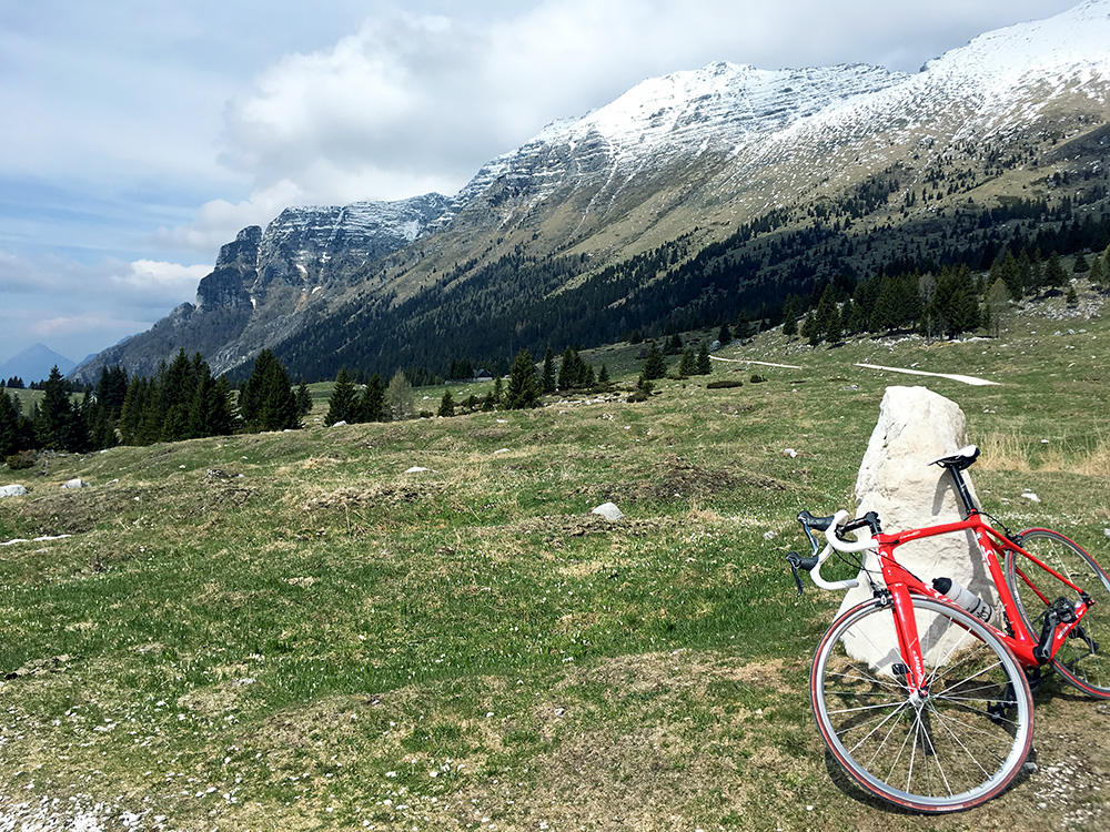
First some more photos in different directions from the stone by the asphalt end. In this photo I look back down from where I came up.
Here I am looking ahead at the crossroad and in the direction of the Raccolana valley. Nice snowy mountains, but I had been afraid when going here this early that snow might still be down at 1500m where I was, but I was lucky the spring has arrived. Though some days later I heard they had reopened ski lifts at Sella Nevea as new snow came not far up the mountains.
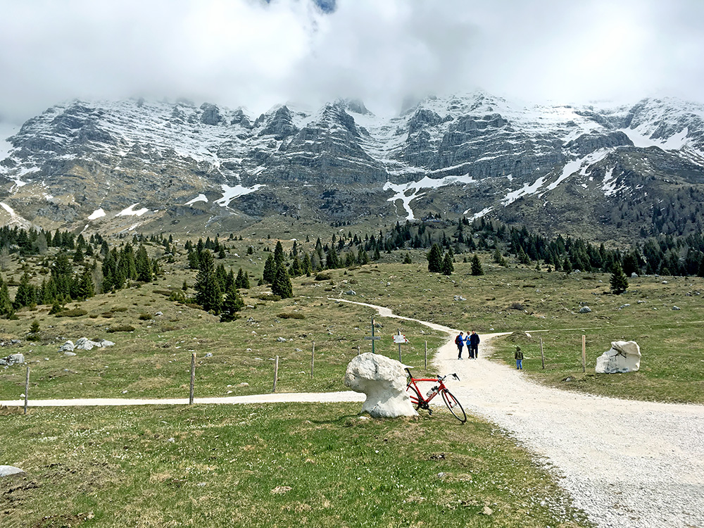
And here looking straight up the mountains where some walkers walked up and down. Looked so nice so I allow some duplicate views here as I found it hard to decide which photo to leave out.
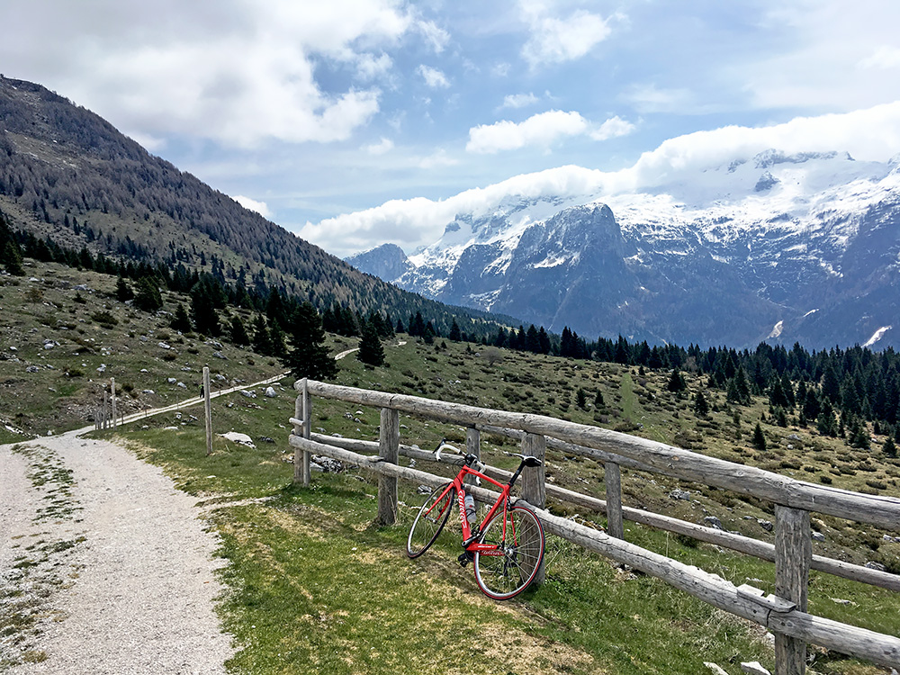
Now I moved on to just after the high point of the gravel road bak toward Sella Nevea. This is in the direction where I was going later to the Passo del Predil/Predel. I think someone came by on a mountain bike here, but otherwise I do not think I saw any bicyclists around.
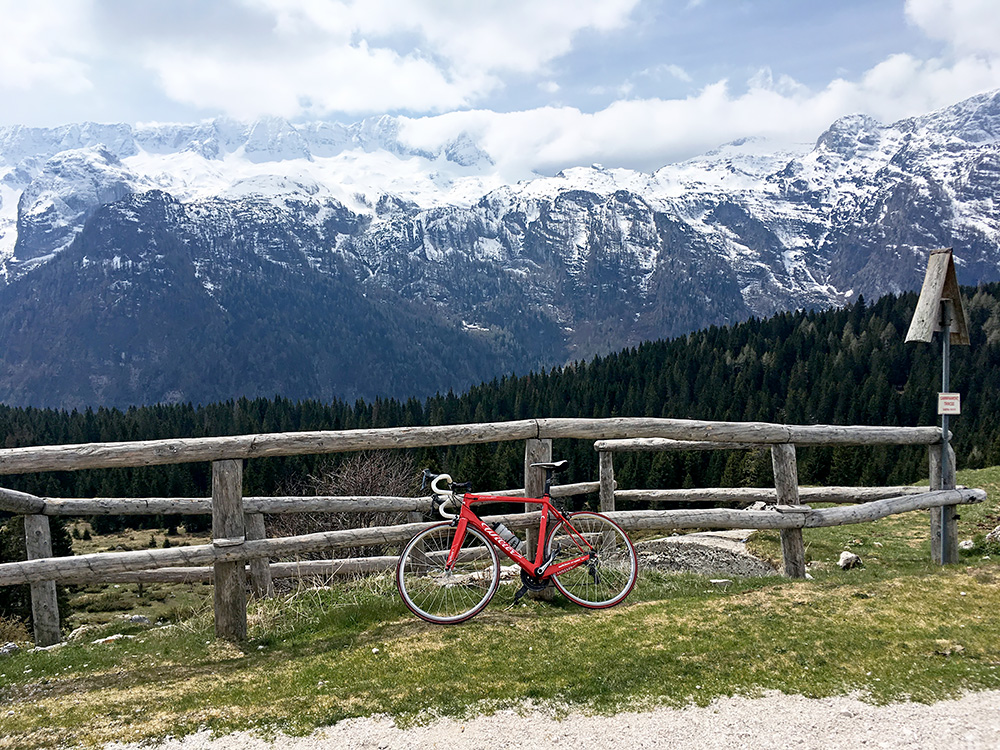
And here the Canin mountains from the first photo in close-up. This is the ridge north of Monte Canin and the border to Slovenia.
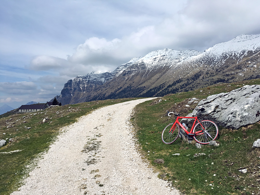
Really like this photo looking back and now the Montasio mountains are almost free of clouds.
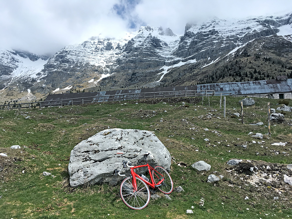
A last little redundant photo looking straight up the Montasio mountains. Then I went back down again to Sella Nevea.
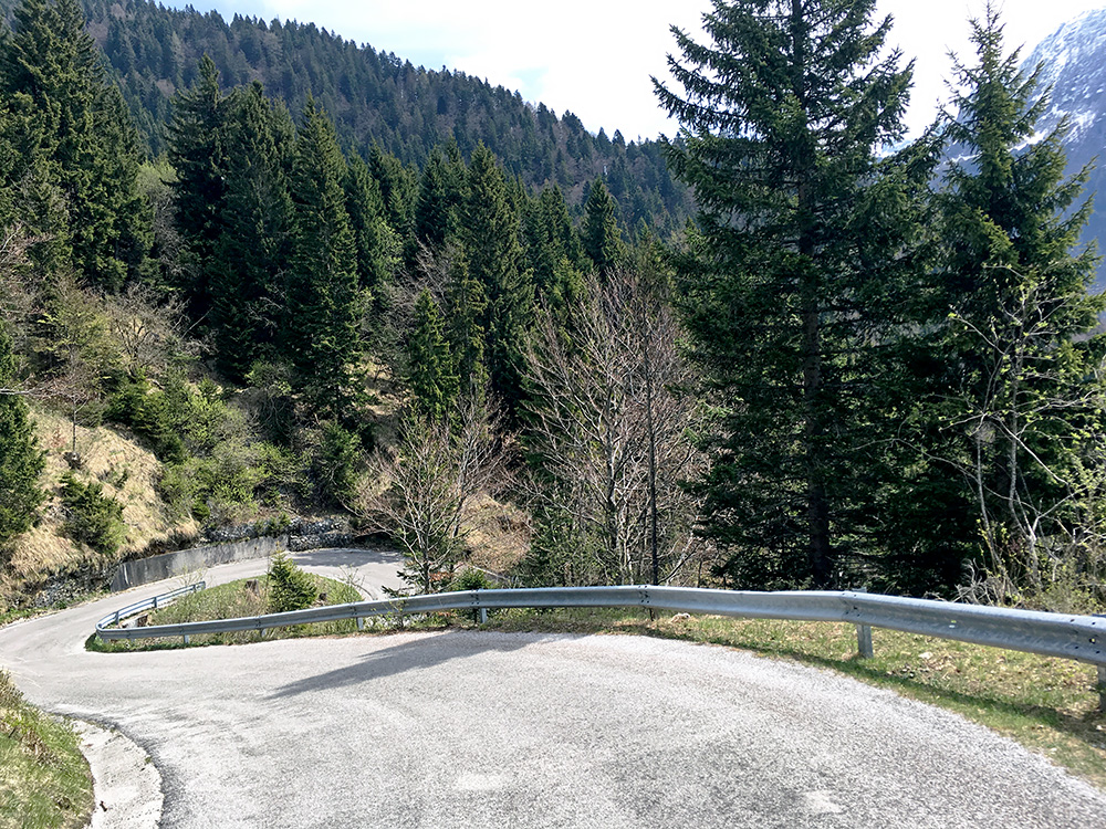
Stopped on the way down at the hardest part to show that the road was twisting its way up steeply here.
There is a short climb up through the tiny ski village to the actual pass. Then there is a nice short descent where I did indeed meet a road cyclist, when I come to think of it.
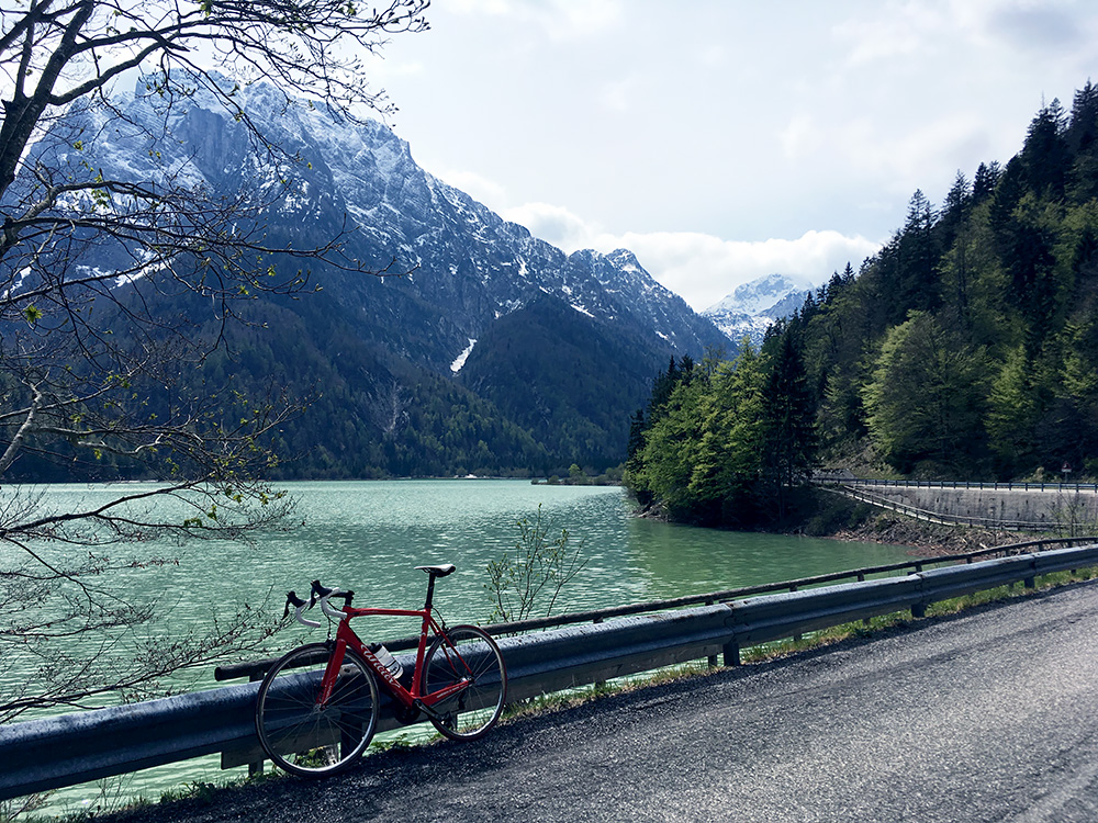
One then cycles along the nice Lago del Predil where I stopped for another photo.
At the north end of the lake (964m) I took off the road down to Tarvisio to Passo del Predil/Predel (1156m), which is a short and easy climb on the Italian side (a bit more of a climb if coming from Tarvisio and maybe down in Austria, but it is not steep up that way). The climb on the Slovenian side is a more normal Alps pass climb of close to 800 height metres from down in Bovec (445m).
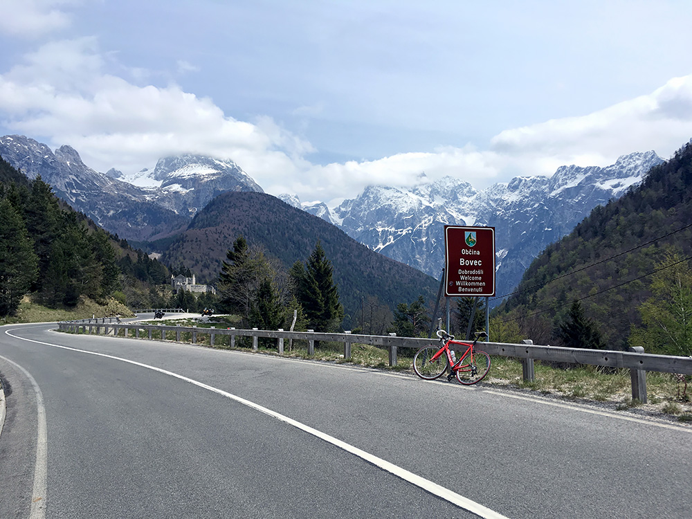
The views that open up at Passo del Predil/Predel into Slovenia are great (the view back into Italy here is disappointing) as seen here. You also glimpse a little fort (ruined) Trdnjava Predel in the photo. Just after that a road takes off up the highest asphalted road in Slovenia – the Mangart road. I went up there on my first of three visits to the Predil pass in 2004. At that time the last circle road part at the top had not been asphalted, but was so likely in 2005. One comes within 75m of Klanska Škrbina/Forcella della Lavina/Lahnscharte (2055m) just off the road. I had some thoughts about trying to get as far up as I could this time, but the road was closed and it looked rather snowy up there, and I was short on time, so quickly decided to leave it for another time, but likely it could have been a very nice visit.
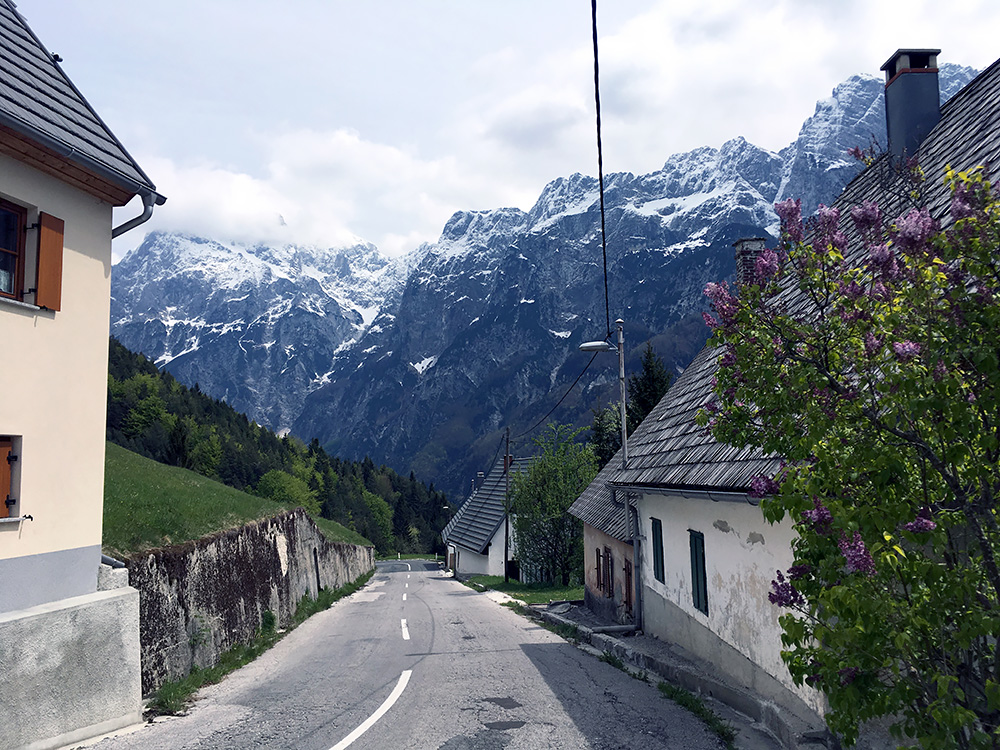
The first village Strmec looked as pretty as ever. I stopped for water that I remembered I found there before. The road down from here was not in a very good shape now, but think they will likely soon improve it again as the Slovenian seems to care about their touristic roads (normally). I stopped at Log pod Mangartom for lunch that dragged out a bit on time and the prices was a bit touristic too (much higher prices at the restaurants closest to the Italian and Austrian border in the corner up here).
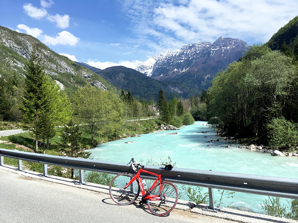
From Log pod Mangartom it was a sweet ride down to the Bovec area, where I took the road to the famous Preval Vršič/Passo della Moistrocca/Werschetzpass (1612m). From the Soča river (402m) that one follows up the valley it is a 1210 height metres climb!
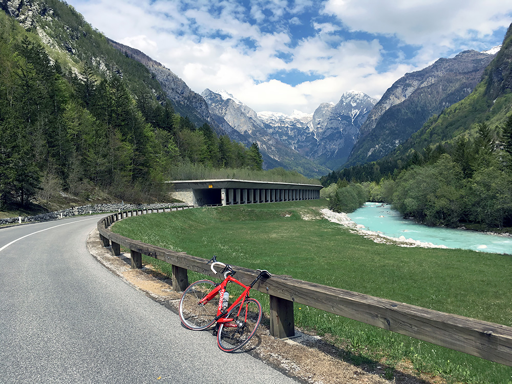
As one comes deeper into the valley close to Trenta it looks as if the valley is very much a dead end, but there is a small opening to the left ahead in the photo here. The Triglav (2864m) and surrounding mountains ahead looks quite impressive from down below.
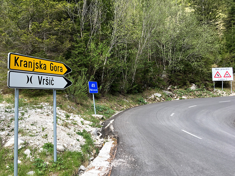
I then continued all the way to the top and stopped only for this photo that I first thought I should leave out. This is where the real climbing starts (794m) and the sign here enlightens you with the note that this is serpentine number 49. I think however that this number must include the serpentines on the other side of the pass as well (as sometimes is the case). I remembered from the previous visit in 2004 that it was going to be a quite hard climb up to the top.
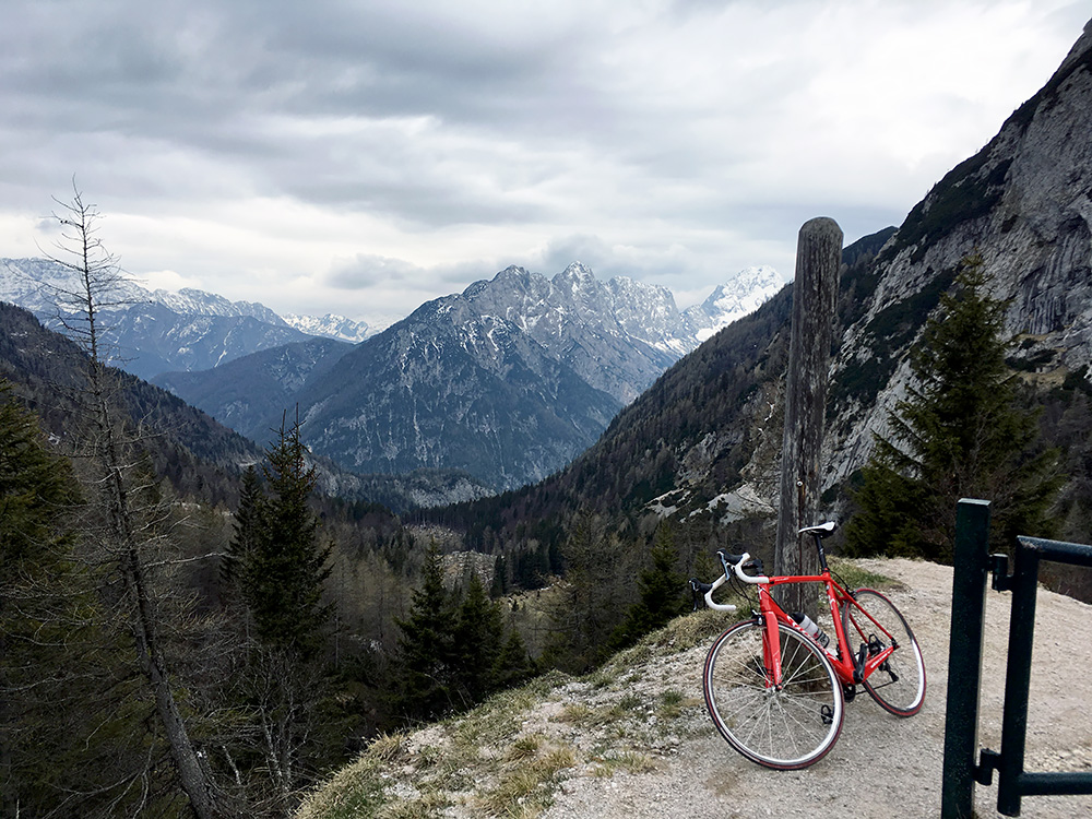
I got up fine. The road eventually becomes a little less consistently steep before steepining again before the very top. I continued a bit higher up on a side road to get some better views as the views from the pass itself are inexplicably boring given how nice it is before and after. The gate I am standing by is the entrance to a mountain path up the mountains. Just as it looks, the spring had not quite arrived here yet and it was cold now so had to move on before getting cold. The weather was also getting less sunny, but I was relaxed as this was the last real climb for the day.
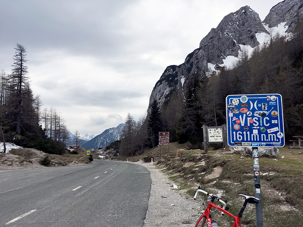
In this photo you have the best view from the pass. Here you also see some lingering snow to the left, but no snow near the road. It was also lucky there was not snow next to the road as it could have made the descent over the cobblestoned curves on the north side more hazardous.
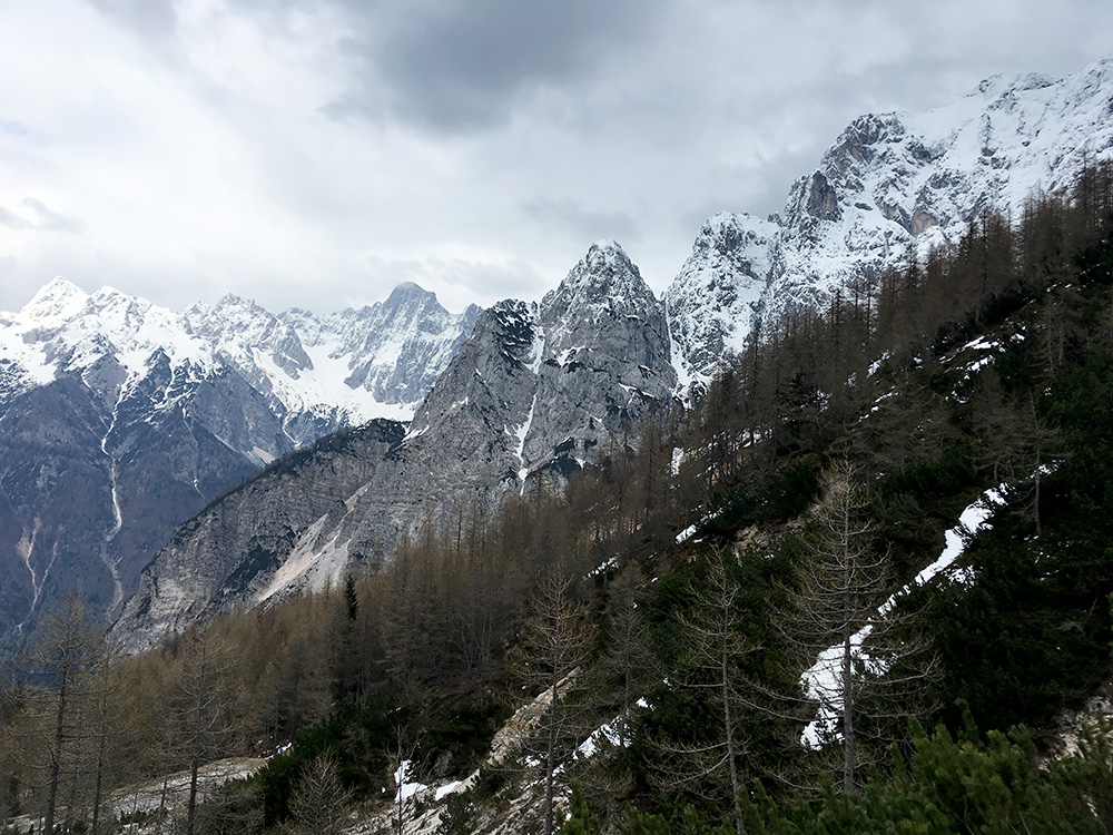
I had forgotten how nice it was on the north side, but maybe the views was now helped by the white mountains. It was getting cold but I had to stop and take some photos (leave out two photos I took up here). I had not quite realised on the way up how cold it had become.
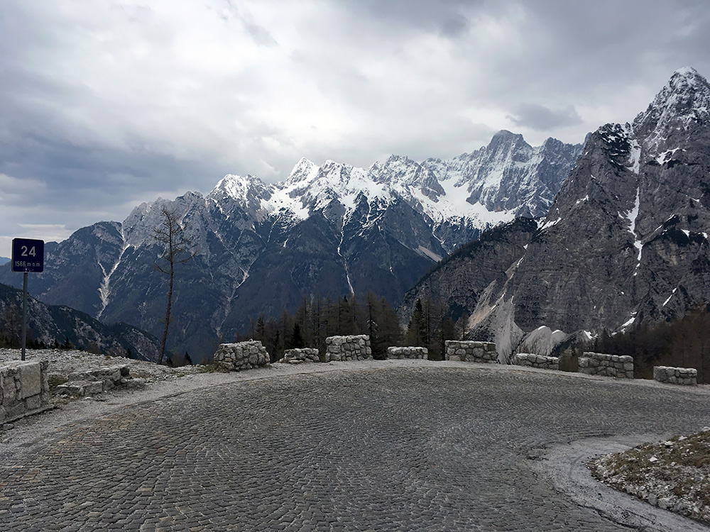
Had to capture one of the nice looking serpentines and now I was shaking of cold so it was the last one. Later there was not so much to take photos of. The cobblestoned serpentines may look nice, but they are no fun descending and there are many of them. Eventually I got down to a little lake (Jasna) before Kranjska Gora and here it was warm again, but for no apparent reason I got a flat here. I amanged to get down to Kranjska Gora before I had to go off the bike. Then I got confused over directions of where to find a proper bicycle pump to help me inflate the tyre properly. There was only one place and it was by a little cafÚ where they may also rent bicycles. I got there after walking back and forth in the village for a while and got a coffee and fixed the flat.
After some time I was moving again. The weather was cloudy but not cold now. The main road down in Slovenia from Kranjska Gora is surprisngly narrow and with a lot of traffic (maybe I was there at a bad hour) and car drivers were not very friendly, but living in Sweden that felt like at home mostly. I had planned to take off this road already at Mojstrana to climb a minor pass on a little road, but it was now getting late and thought it was better I got as close to Bled as possible before the dark. In Jesenice I felt like it would soon be time to stop, but I did not want to stop in this town that was not coming across as a nice place to stay at. Just in the centre a spoke broke on my rear wheel, possibly because of all the stress on the descent from Vršič. I stopped and removed the spoke and adjusted the brake and continued.
I went up a road over some mini-pass, Kočna (678m), and now it looked not so hopeful for finding lodging, but I just decided to keep going toward Bled and stop at the first best place and came upon the Gostilna Fortuna in Spodnje Gorje on the hill above Bled. Got a room and it seemed like they had no other guests this evening. The place came across as very typical Slovenian and the kitchen likewise. Nothing fancy, the price was also fine (compared to higher prices in the Bled area otherwise). The guy was nice and they got some beers. Helped him take in stuff from some tables outside as it started to rain just as I arrived. I was hoping the rain would be over in the morning, but the forecast had suggested it would only stop later on … .
