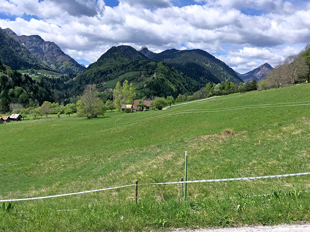
Still not feeling well, but it was perhaps a little better and I decided I had to do a little more ambitious ride again to see how it would work out and now I had a short list of essential climbs more or less sorted out for the last three days. Just to get going, take it easy and hope for the best.
First the nice and easy ride up to Pontebba (561m) and a coffee at once, this time at the café on the right-hand side in the centre.
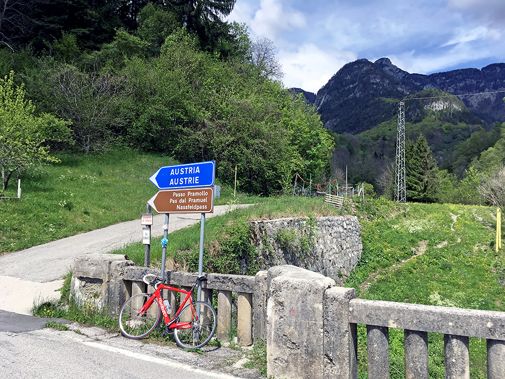
The weather really shaped up fine as I started out on the first climb for the day, the Nassfeldpass/Passo di Pramollo/Pas dal Pramuel (1530m). The weather up north seemed best this day of the three, so to Austria a second and last time on this visit. I climbed this pass on my first tour of the Alps in 2000 and was really looking forward to revisit it now as I remembered it was a nice one. The climb from the north is slightly steeper, but the climb from the south is nicer so think I was right to climb this side again. Here you see one of two (or more) signs showing the local Fruili name as well as the Italian and Austrian. I think no one had mentioned this Friuli name anywhere on the Internet when I first added it to the High Alps list, but now it is getting harder to stay ahead of everything on the web. Above I am looking in the west direction of the great Passo del Cason di Lanza/Pas di Lance/Lanzenpass (1558m).
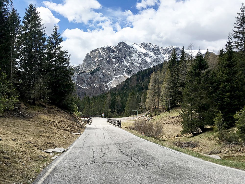
At the Italian sign for the pass and now it looks a lot colder. It was a hard climb up here, but I went rather slowly. I met a cyclist just below here coming down at good speed, but that was the only cyclist I saw this Sunday. There were still works at the tunnel half-way up and it was only one-way traffic there. The road had been closed for I think a year or so because of some rock falls/landslide, but it was possibly already open by the end of 2016.
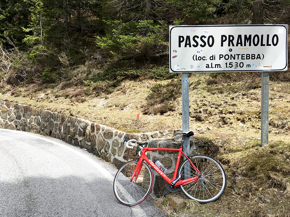
Here is the Italian sign that I presume is mostly for the locality rather than the pass itself.
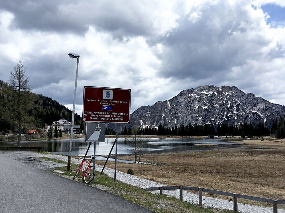
Here at the lake at the top still on the Italian side looking back. This where I had the only photo taken on my visit in 2000.
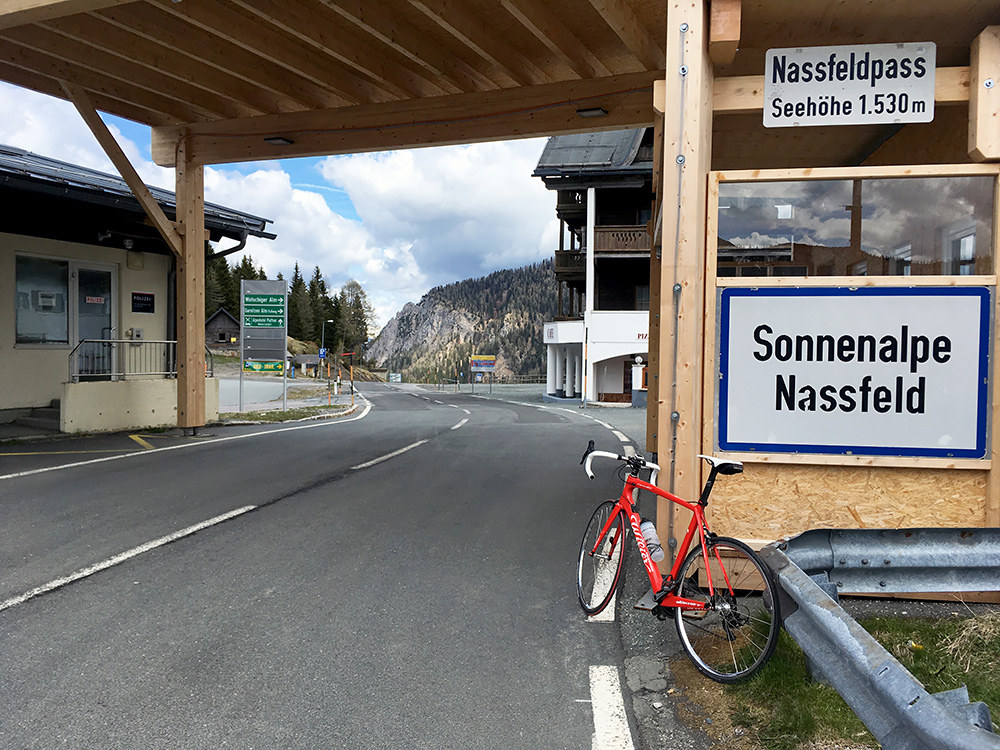
The actual pass is exactly at the border and there one only find a little Austrian pass sign. I guess the Austrian name is really used more often in general for the pass (searching google the old spelling ‘Naßfeld Pass’ is most popular, while writing ‘Passo Pramollo’ gives even more results, so maybe I was wrong, but thought that the ski area, which is essentially only located on the Austrian side, would make the Austrian name more popular).
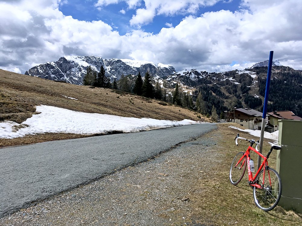
I had thought about exploring a gravel road pass above Nassfeldpass/Passo di Pramollo, but was not sure the road was good enough, nor that the snow had been cleared. It is the Gartner Sattel (1856m), which should offer great views. In any case I wanted to go as high up here as possible on asphalt and thus continued up on the road at the pass to Watschiger Alm (1627m), which is where I am in the photo here. Snow still lingering here. It is just a little over a kilometre up on the mountainside.
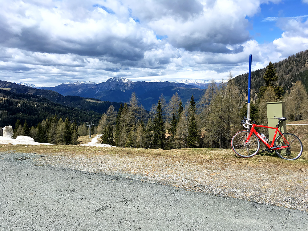
Looking down into Austria and the Gailtal and the mountains beyond.
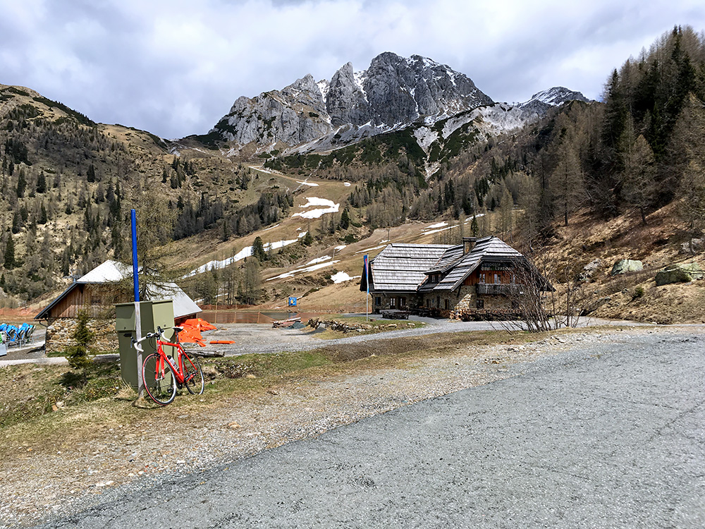
Looking up at the Gartnerkofel mountain before going back down again. Now it was starting to get really cold!
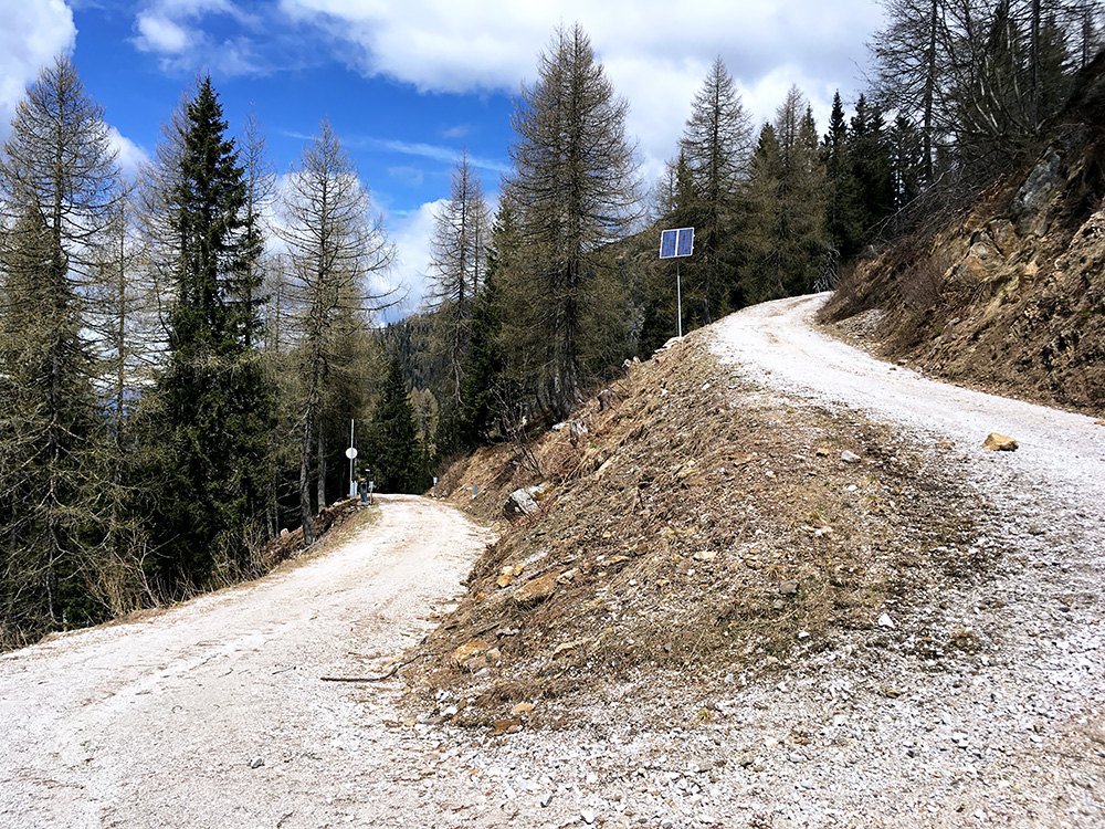
I went up on the gravel road to Gartner Sattel just a little, but it was quite steep and the gravel was a bit rough at least here and given that it was cold and the possibility of snow above, I decided to be reasonable and go down (it always looks better on photos though …).

Down in Tröpolach (604m) it was warm again and time to stop at the first best café just where one arrives. Felt good now and continued on to the main Gailtal road that I followed a short stretch to Postran where I went down to follow the bike path that is faster to Möderndorf (579m).
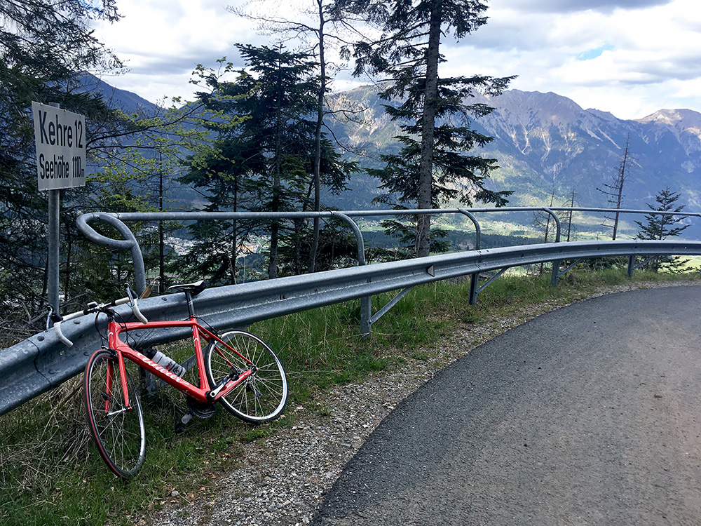
Here starts the next climb and one I have thought about visiting a long time. It is a fairly steep road and fairly long, but quite nice.
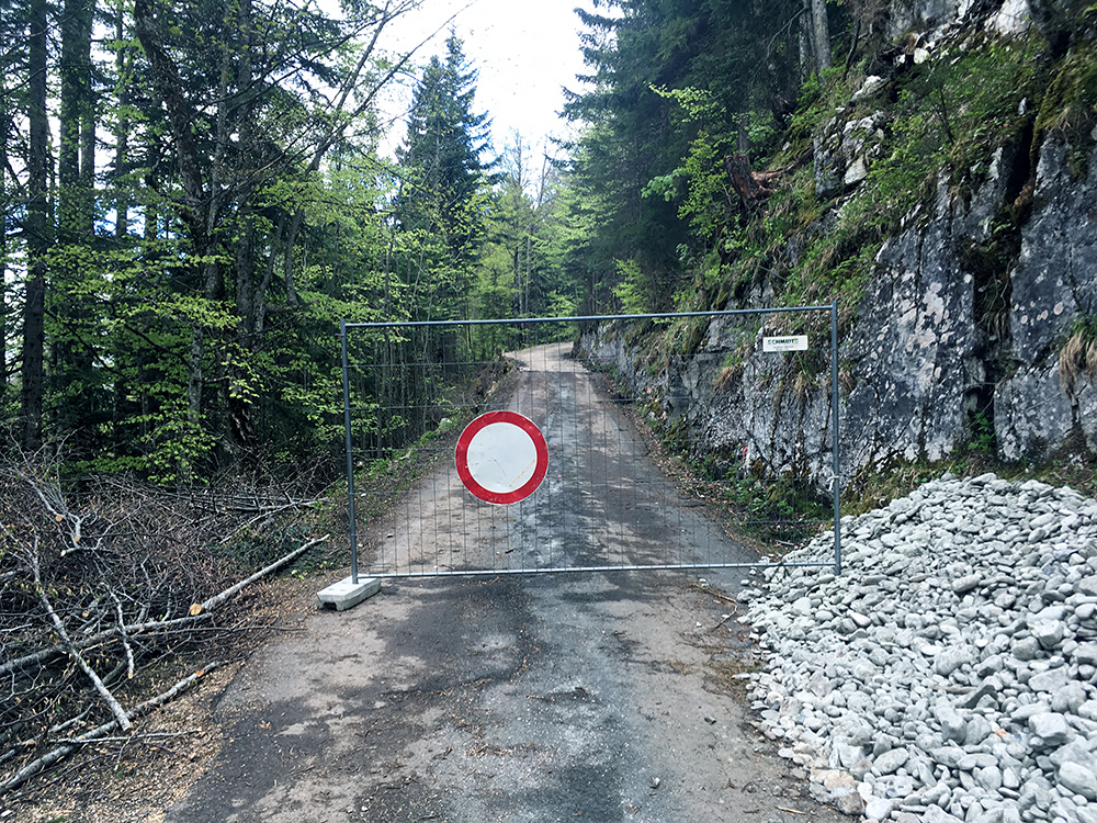
What I did not know was that the road was closed (until late summer). I went around the road block and could pass by. Oddly enough they had some cars on the other side maybe to collect people coming from below.
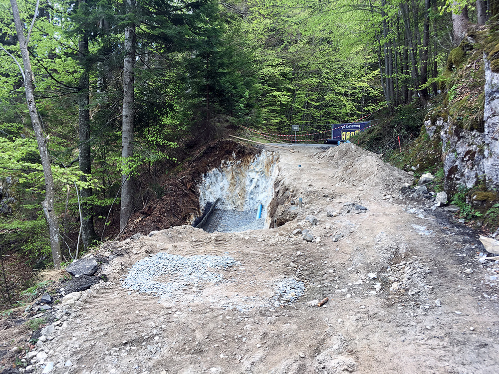
Further up one could not pass by with a car, but the stretch that was closed was maybe just 250m. Then the road continues nicely up to the big alm, which is sort of a saddle-pass by itself, but never found any references suggesting it is a pass even if there is a road down the other side in another valley and it is higher on both sides.
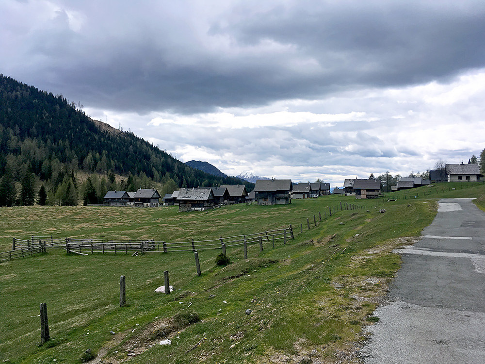
Up at the Eggeralm (1422m) it was a bit chilly again. I think there was maybe one place only open up here, but I continued ahead. I had decided to try and get down the other side.
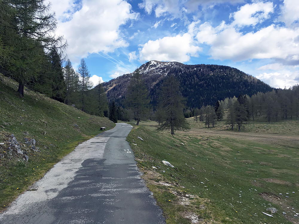
The other side has an even steeper road up and it would have been more sportive to go up that side, but the problem is that this road down not really go up to Eggeralm and sort of runs out just as it reaches the area. It turns into a private gravel road that is even steeper and then there is only a grassy track that could be used with 4-wheel drive cars I guess for some hundred metres before the asphalt road comes back at Dellacher Alm, or one goes a bit extra on a gravel road that is not good enough for road bikes (only the asphalted parts are good enough really).
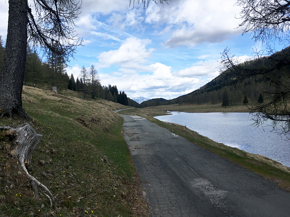
The photo here might be from the highest point, which is a little vague. Just to the south from here one could from Eggeralm follow a gravel road to nearby Schloßhüttensattel/Sella del Poludnig (1448m) that I had also thought to explore (and return back from), but was not in the mood as I was a little worried about getting back before dark, not knowing exactly what awaited me.
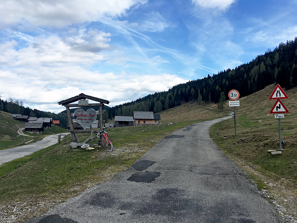
At Dellacher Alm I finally decided to also skip trying to get up on the road to the right to Poludnig Alm (1729m). The road up there eventually turns to gravel, but then a bit less steep. I was not sure there would be no snow on the road and there was some rain drops in the air, even if it looks ok in the photo. I wished I had been slightly earlier and gone up as there should be good views from up there and that is also the proper end of the BIG climb up here.
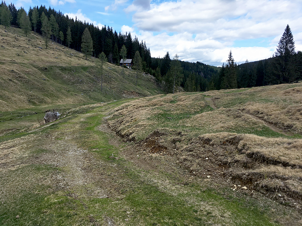
Instead I took the road ahead which after the houses turns into a grassy track that I could partly cycle on, but think I had to open a gate later and then join a somewhat rough gravel road. That road got a little better but then so steep so I eventually had to walk down the last part to meet the asphalt road coming up from Vorderberg.
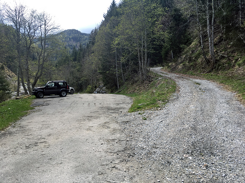
Finally down on the asphalt road and the tyres made it too. Originally I had planned to go up to Poludnig Alm and then descend back to Möderndorf and then climbed up this road from Vorderberg, but then to turn of to Dolinza Alm.
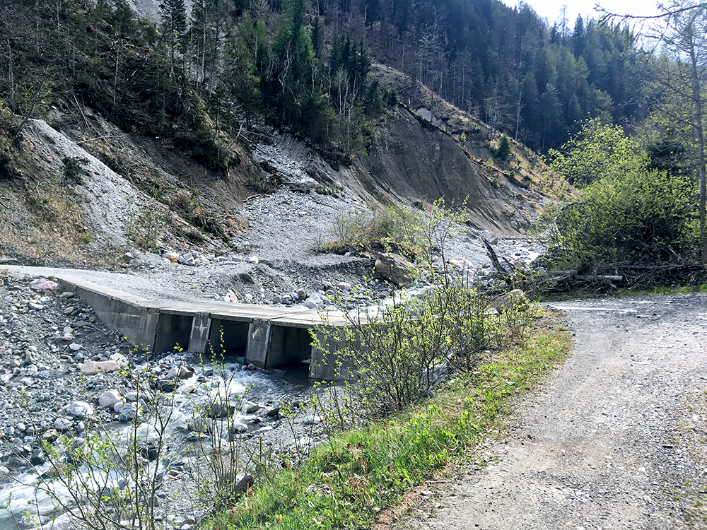
Many photos this day (and not always so exciting, but put up most of them anyway). Now, I did not look on the map and if there is a possibility to take a wrong turn I am always looking for it ;-). I knew the road to Dolinza Alm would descend a little and cross the river and then climb steeply on the other side and it looked like that here at the end of the asphalt road so went down and crossed the river but got confused as the road on the other side was gravel and after going up a bit to make sure the asphalt did not soon come back, I realized I was on the wrong road. The landscape here looks steep enough though.
The road down along the Vorderberger Wildbach is actually quite good all the way up to where it ends even though there is nothing much there. It would have been a lot more popular with road cyclists if one could make a loop over the Eggeralm, but doubt that will ever happen.
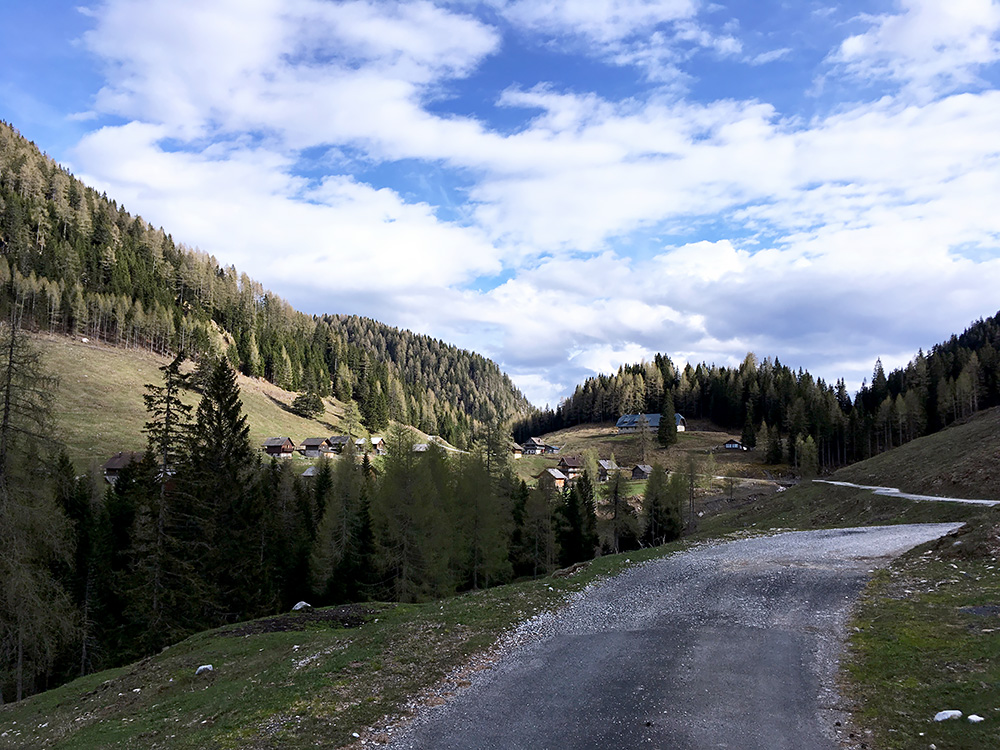
Down at the next crossing and it was now obvious. The descent to the river was longer and on a bad gravel road (just as I had noticed some motorcyclist had written somewhere). I made it down to the river and crossed the not so good “bridge”. Now … well, I knew it was time for a steep climb, but even so I sort of almost gave up just at the look of the road ahead.
This is not a road for the faint of heart, quite literally. I had to focus 100% on each turn of the cranks and put in absolute maximum effort exactly all the time up (39-28). I could not complain about the surface which had perfect asphalt! However, the road is narrow and apart from maybe where a car or two had passed by since last summer there was a lot of stones and debris on the nice asphalt, which made it impossible to zig-zig up unless the stones so demanded. Then I knew it was showing +17% on the salite.ch profile for much of the stretch up here (actually only for 1.5 km out of 2.5 km). However, that profile must be slightly wrong … . The hardest paved climbs in the world like the Scanuppia/Malga Palazzo does not feature a kilometre above 26%, while I know the Scanuppia road is mostly around 33% (but surely not 45% as the sign there has it). So think that should be taken into consideration as this road was only under 20% at the first few metres and the last 500m.
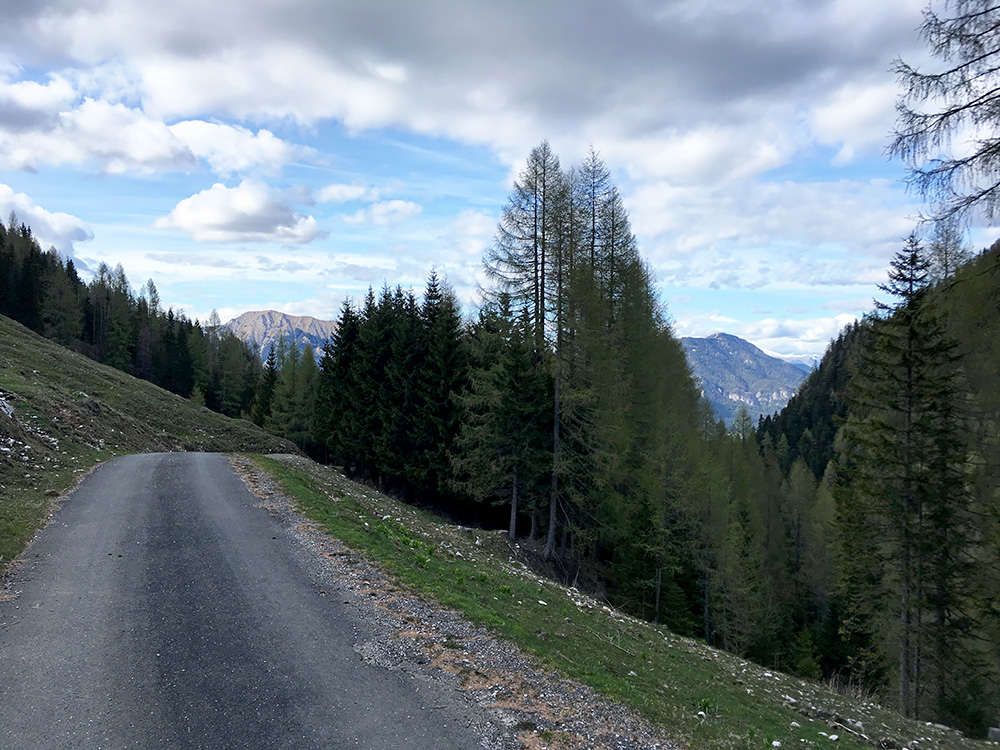
In the photo above I reached the asphalt end without putting my feet down and it felt truly impossible. No this climb was more like 22% almost all the time for roughly 2 km (but possibly I was a bit weaker than normally and not being able to zig-zig even two centimetres might mean that it felt steeper than what it was, but it was only rarely under 20%. On the other hand I remember I failed going up the Sella Festons (too steep to be on salite.ch?) despite that it was mostly only 18% on average, but I do not know – guess I would need to see the different roads under the same conditions. Still I normally could guess steepness these days within +/- 1-2%. (I could see inclination on my computer, but it is not very reliable while cycling.) In the photo here the road disappears down the valley quite rapidly and not sure I would want to cycle down on that road.
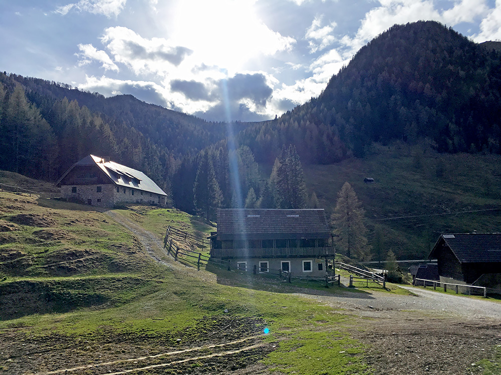
I was relaxed now as this was the last climbing for the day apart from a few metres in Ovedasso. A photo here of the closed alm-houses and the Starhand mountain. No people up here at all this day.
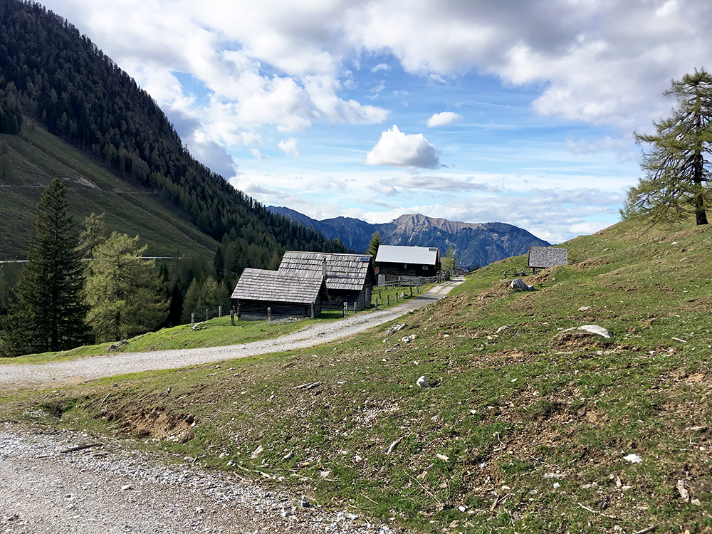
To cross the Sella di Lom/Lomsattel by the Dolinza Alm I had thought it might be smarter to go up a bit on the gravel road that continues up here and then down (it also looked muddy right ahead as you notice in the photo above). But I just had to descend then on the grassy slope to the pass. Here looking back inte Austria from the highest point.
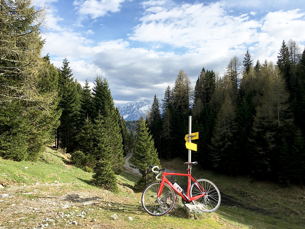
In the Italian direction you here see the pass below and the gravel road going back to Italy. Time to descend. I could cycle most of the slightly bad gravel road, but it was not a fast descent.
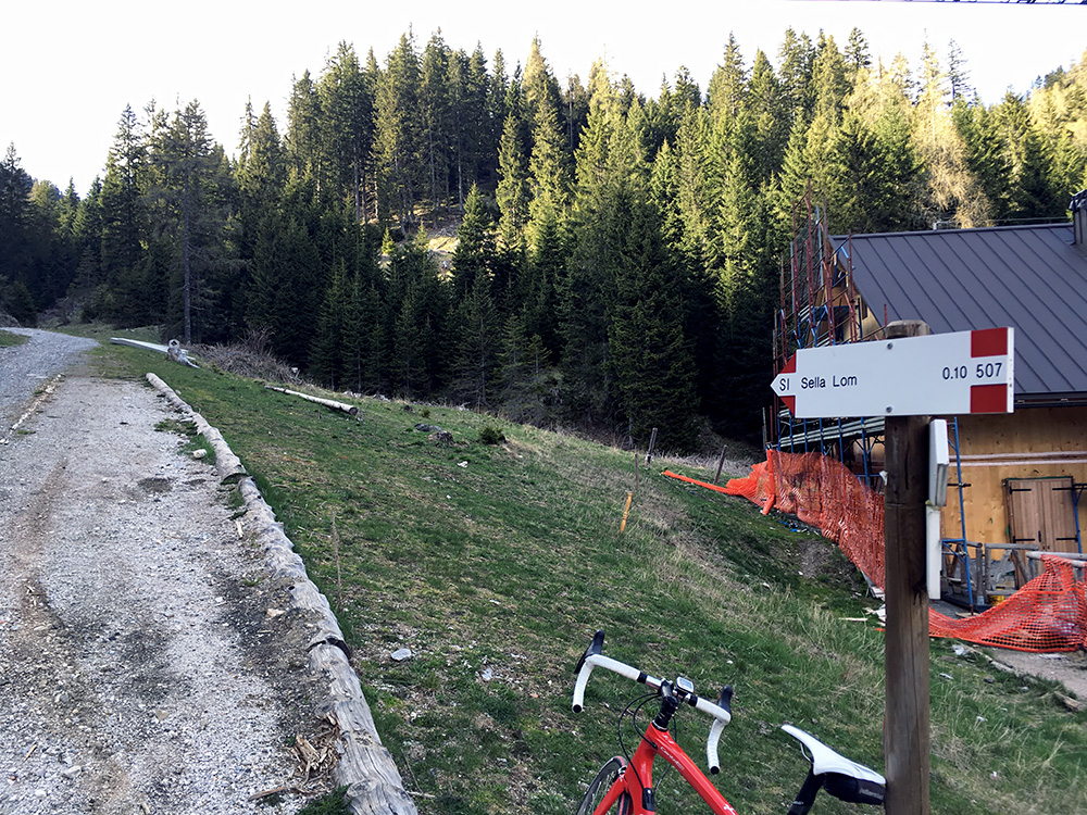
Down by the first Italian sign and the only sign showing the pass name I think I saw. Here they are rebuilding the Rifugio Nordio that partly burnt down in early 2016 (I think it is open again now).
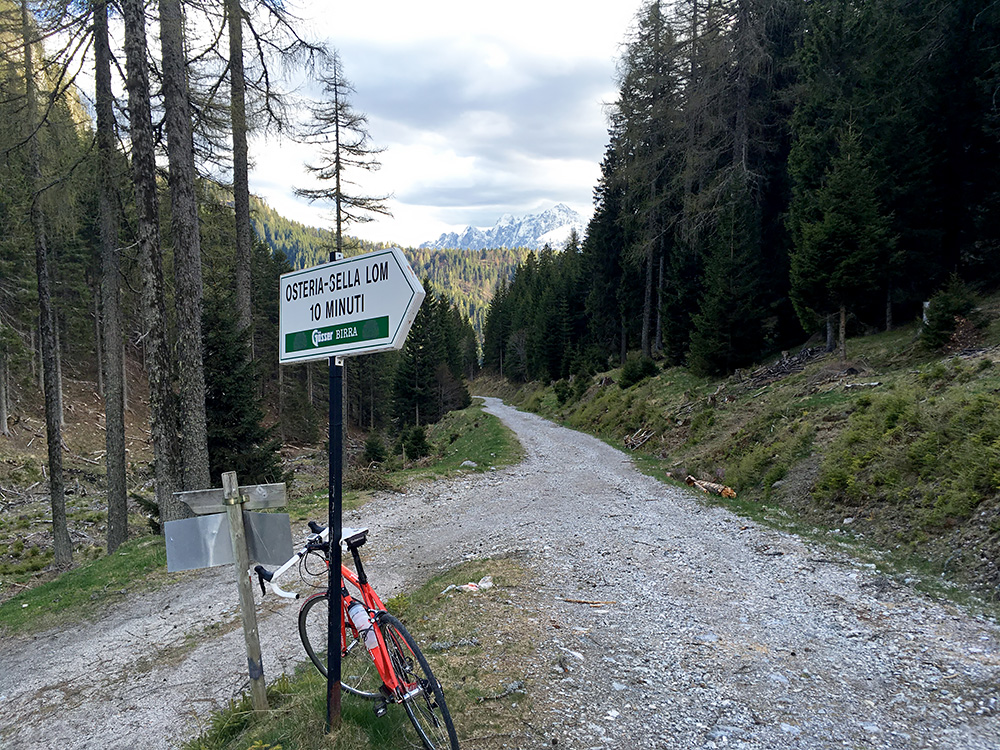
The road looks slightly bad here, but is mostly agreeable otherwise. I walked down to here most of the short way from above.
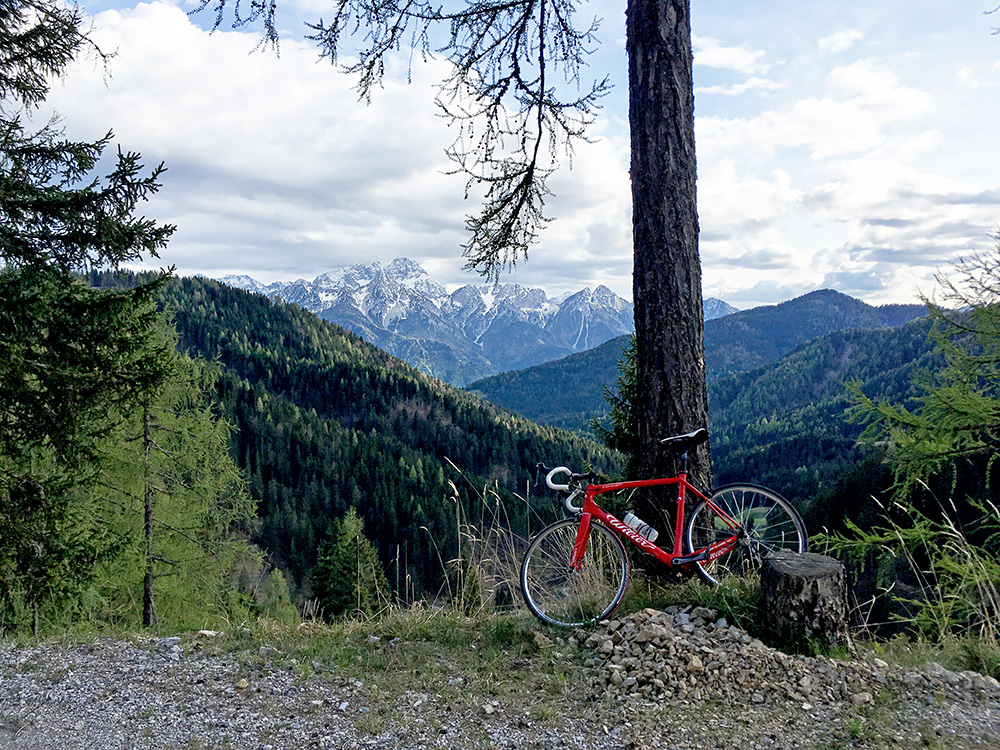
In this photo the road is a bit flat for a short while before it starts descending in abrupt gravel serpentines and at the last one there is concrete and soon the asphalt returns for a short a nice descent to Ugovizza/Uggowitz/Ukve (772m).
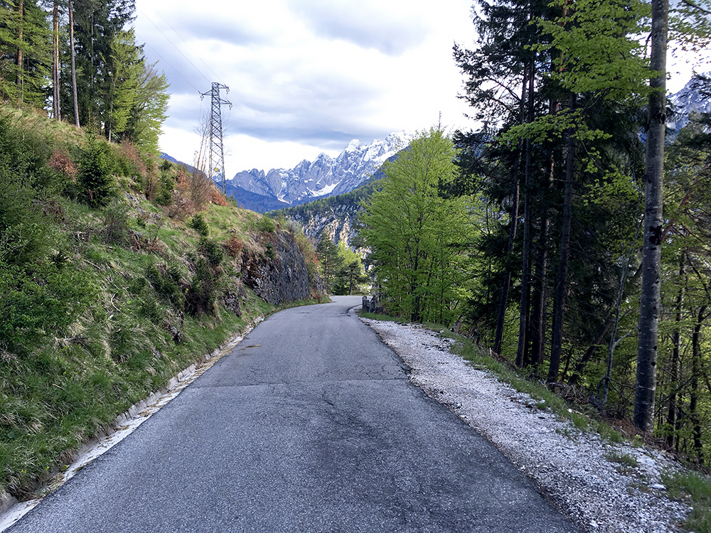
Here I am on the nice last stretch down to Ugovizza. I stopped by the nice bar (Bar Ojsternig) in the centre of Ugovizza for a coca-cola, which I had to visit when I some years ago spent the night in Ugovizza and it was the only open place in the evening. Then again down to Rosa dei Venti via Ovedasso. I guess I was feeling slightly better now, but after this day I got a little ache in one of my knees and guess it was because of the Dolinza alm climb, but I did not notice that much while cycling.
