Another day and still feeling too bad to cycle, but tried a little more today. It was supposed to rain at 16:00 and I had to see a bicycle shop in Gemona del Friuli (199m) and wasn’t there until midday to exchange the front and rear tyres (did it there to get the tyres properly inflated at once). (Could not remember why I was at the bike shop, but consulted what I wrote on Facebook, which I now use partly for my own memory ;-).)
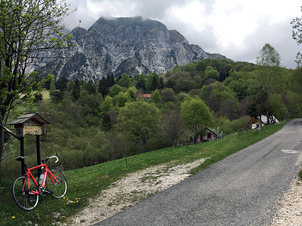
I found the way up to Monte Cuarnan and think I took the steepest variant at the start (actually took the wrong road and crossed over on a grassy short-cut). This climb is quite nice, but thankfully this is one of the few climbs in Friuli on a small mountain road where it is not very steep. And so it was popular with people running, walking and cycling of all sorts even on this somewhat bleak day, but it was Saturday now.
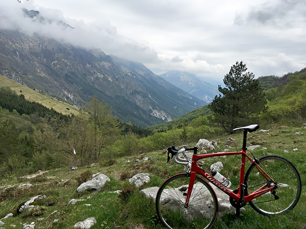
From after the next bends above in the photo above the asphalt runs out and the gravel road that continues to Malga Cuarnan is not long but unfortunately it was not very good and I again just about made it up there. From the malga (closed, maybe never open to visitors) a path goes up to the Sella Foredôr (1087m). One walks ca. 250m steeply up to 1111m, and the geographical pass is then 200m steeply down below.
Just when I came up to the top a mountain biker came walking up from the other side. I stopped for some photos at the high point, here looking east.
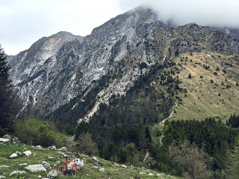
Here overlooking the pass and the Monte Chiampon (1710m) and the walking path up there. I just walked back down the same way and here I took a photo down the gravel road from Malga Cuarnan.
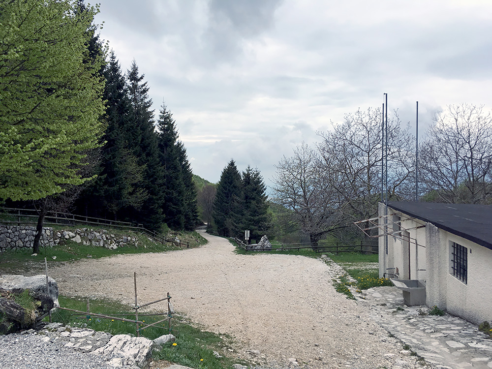
Just a bit down at a fork, where a gravel road goes a bit higher up on the Monte Cuarnan, I took a photo of a sign saying Sella Foredôr 0.10 min, so guess they regard the place I was up at as the pass, anyway I think it makes more sense talking about a pass area or pass opening, then just seeing it as specific point as some does.
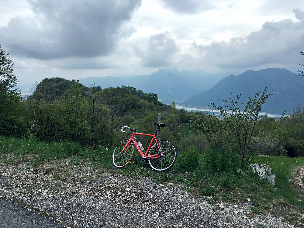
Stopping at a viewpoint down over the river delta beyond Gemona del Friuli.
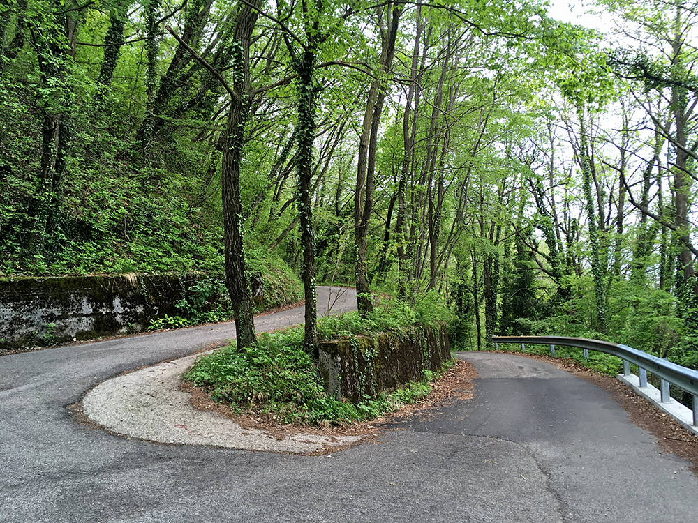
The road is quite nice lower down and inviting. The asphalt could have been a bit smoother, but it is a nice road.
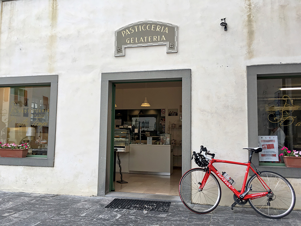
I went back up toward Moggio and had no great plan for this day apart from visiting Monte Cuarnan and recovering. I had thought about going up once again the Monte San Simone, which is a great climb here, but it was a bit too close by and the weather was not the best, so decided to go for a more local climb I had mostly added as an extra climb in my original plans. But first I stopped in Venzone for an ice cream and coffee as I found no good place even if I looked for some time in Gemona del Friuli.
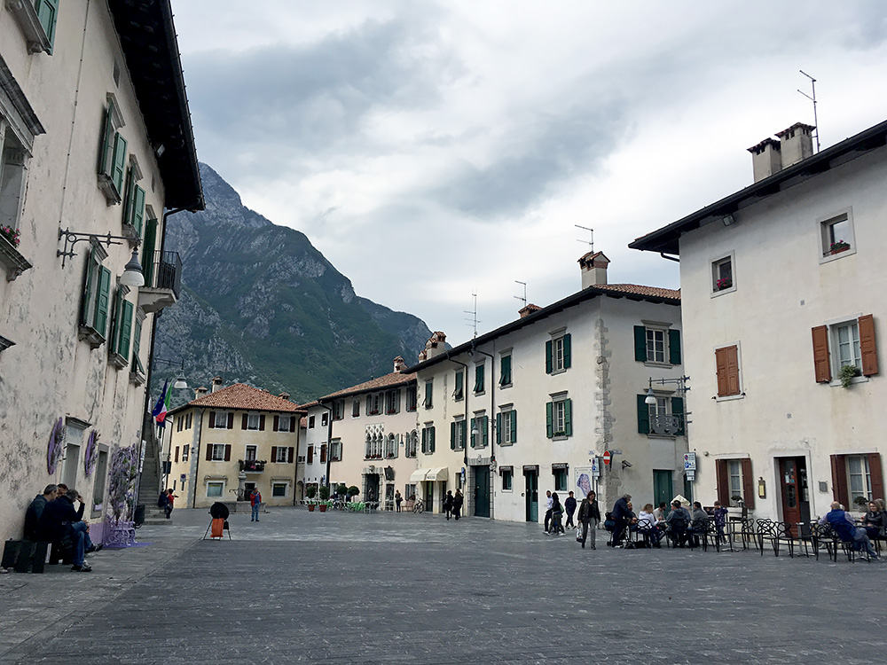
I stayed a night in Venzone once and think it might be one of the best places to stay at in Friuli (or maybe around Villa Santina), but Moggio is also a good place, if you want to explore the climbs in this area. I suggested this place to my cycle club at home to go here for a training camp in spring, but they wanted to go to some more traditional destination for club training like Mallorca, Malaga, Rimini or Girona. It is good here though as one could have both flat roads an mountain roads of various length and steepness, while being a beautiful place with good food and affordable accommodation. Biggest problem might be getting here from the airport, (but we also drove down to Rimini one year).
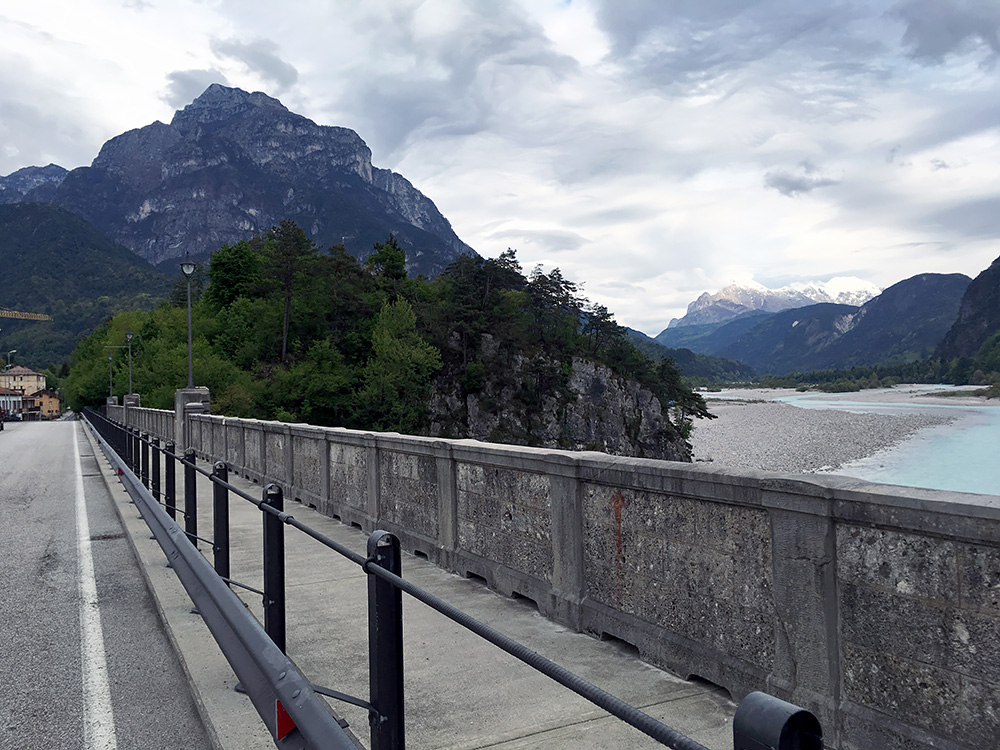
So back to Moggio and starting out on the climb up the Valle d’Aupa/Val Aupe to Sella di Cereschiatis/Siele di Cjarescjatis (1072m) I turned off on the road from Pradis (373m). The photo was taken at the entrance to Moggio after taking off the main road up to Austria.
The road from Pradis is most known (still not so known) for being the road to take to the abandoned Val Alba (the last inhabitants of Riulade moved after (probably) the earthquake in 1976 that destroyed a lot of buildings in the area and speeded up the de-population of the area). I went up there in 2010 and it is one of the hardest climbs in Friuli if going all the way to the end of the concrete wall above a military house.
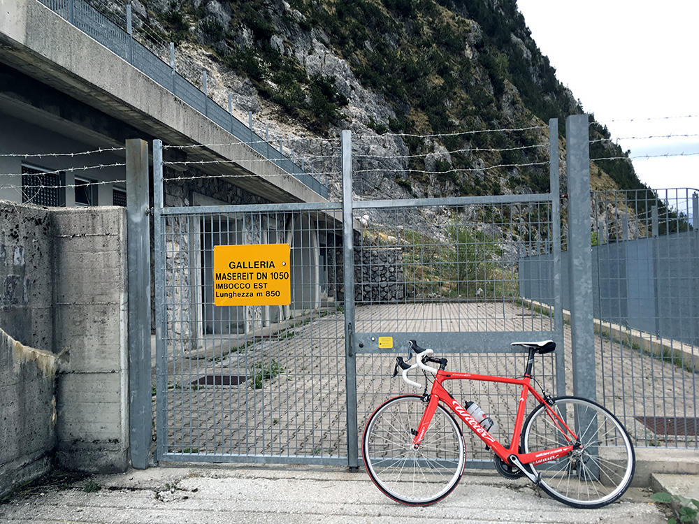
There are two other roads taking off this road before reaching the Val Alba, and taking the last of them was my aim here. This road climbs quite high up the Monte Masereit (1060m) and even if not nearly as hard a climb as the Val Alba road (that also involves a stretch of gravel), this still gets only steeper the higher up you get. It ends at a service opening for an international gas pipeline from Austria.
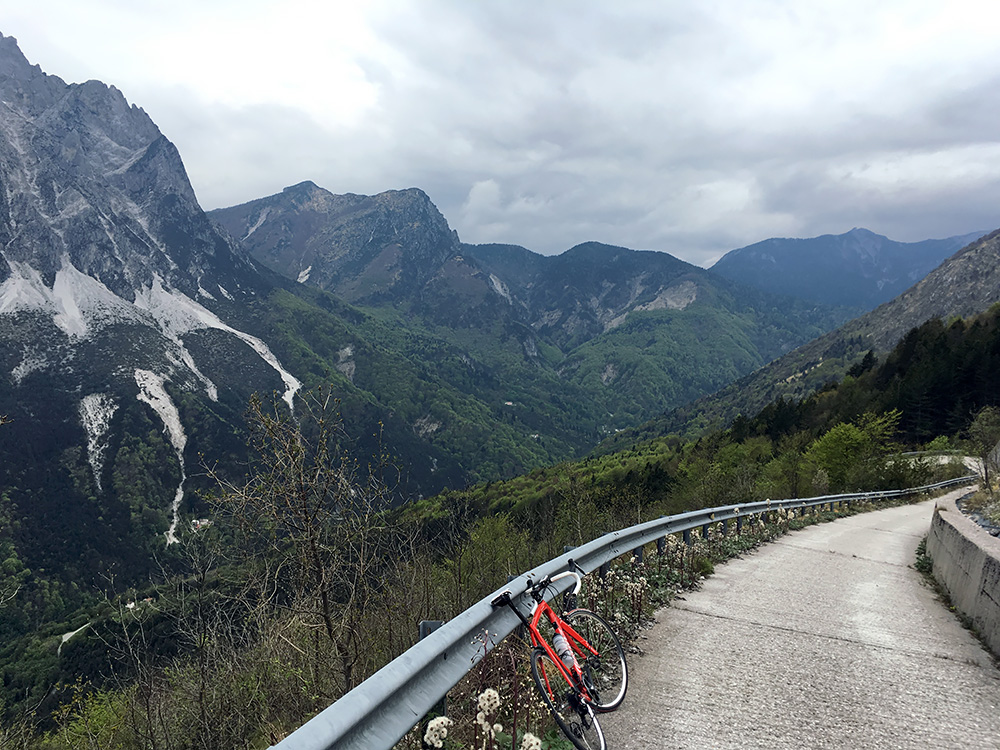
Here is the view back down. This last stretch is the steepest, but it is not quite 20% as the salite.ch profile has it (only ca. 17%).
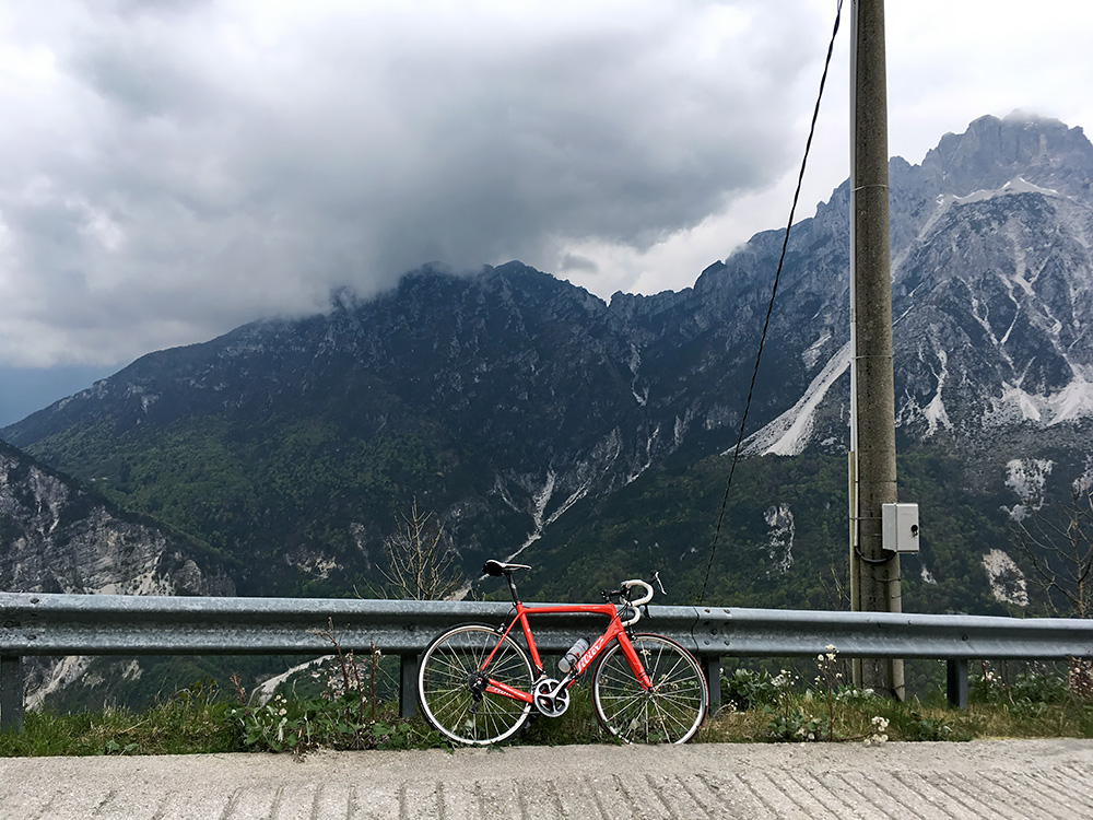
The view across the Aupa valley.
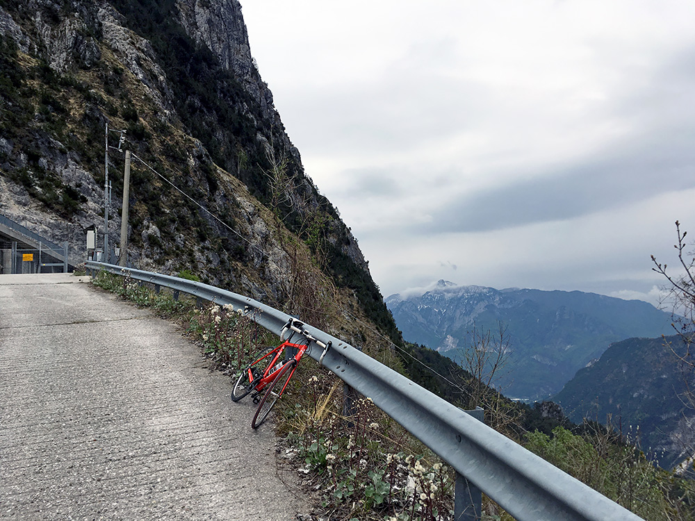
Finally the view back down to Moggio and Canal del Ferro/Cjanâl dal Fiêr/Eisental/Fellatal/Železna dolina (the big valley up to Pontebba that separates the Carnian Alps from the Julian Alps here).
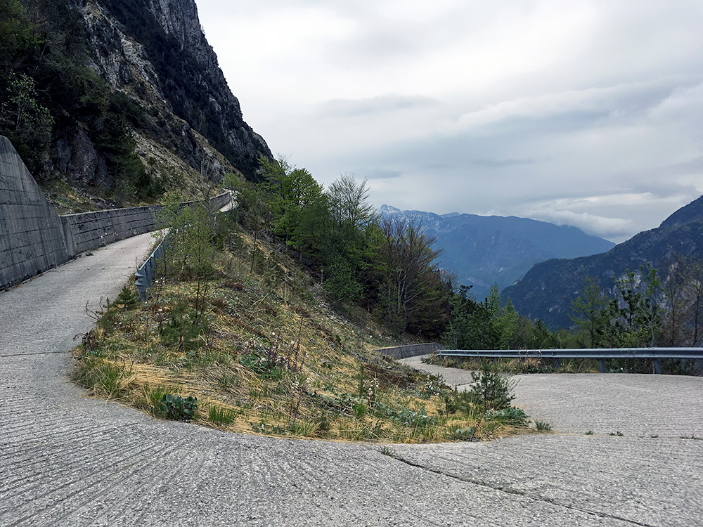
The last hairpin looking great!
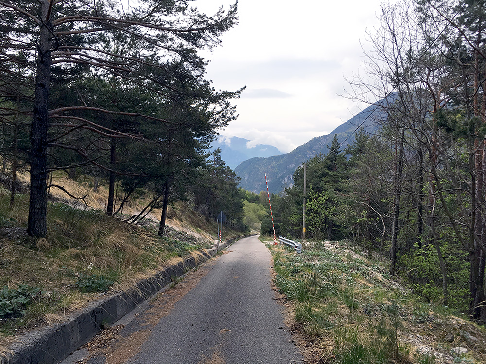
This is the curious turnpike that could be down when there is a landslide. Just wait until the landslide is over and you can go again!
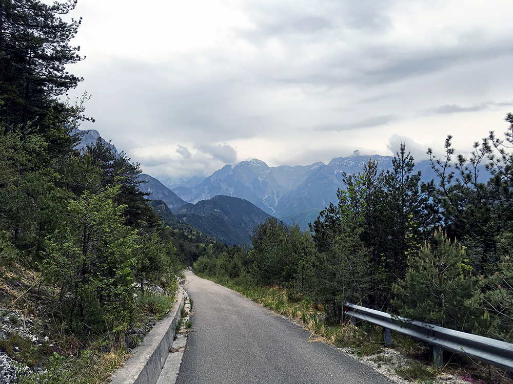
A last photo to give a sense of the seeming endlessness of the steep climb up here.
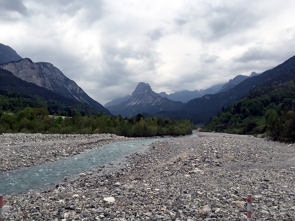
Finally down in Moggio and crossing the river bed once again on the provisional gravel road over to the Ovedasso road along where the B&B is located. The damaged bridge higher up in Moggio is supposed to be rebuilt sometime soon again. The photo is up the Aupa valley and mountain in the middle is the Monte Masereit. A short day again, but two nice climbs.
