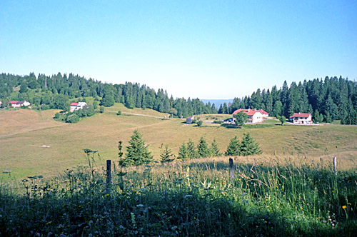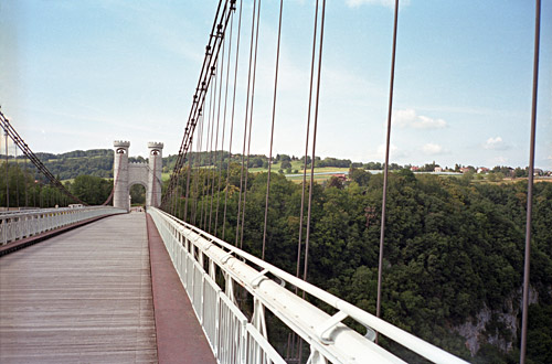
The weather was fine this morning again and I managed to get up decently early given how late I was the day before. Michel Mathieu (photo below) and his family made the visit superb, even if the time spent in their company was short. I got some advice on how to tackle the local minor passes up the mountain, but decided to take the road around the mountain up there that Michel thought I would likely not find, but I did! Col des Menulles (714m) is located on the main road or a little besides it up from Choisy. Then La Clef des Faux (727m) is located on a minor road between the small mountain tops up here. From here I went down the other side and took the first asphalted road around to Col de Mallebranche (702m), which is located just above where one descends to Ponts de la Caille (661m), where I crossed the nice wooded bridge in the photo here.
At Cruseilles (775m) I stopped to look on the map to make sure I took the right road up the Mont Salève. The road up the mountain is not big, but it is well paved. For a long time it is a climb through woods with little views until you reach a parking high up the road. Here at Plan du Salève the landscape opens up and the first pass is reached, Col des Convers (1305m). Later you get some wooded sections again until you reach open landscapes for the rest of the travserse. (If my memory serves me well.) Somewhere in the woods you reach Col des Pitons (1335m) (which is a path crossing your road). This is around the highest point of the Mont Salève road.
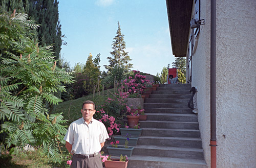
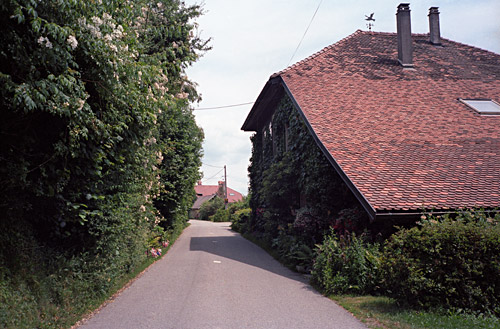
The views are quite nice overlooking Genève, Lac Leman and the Jura mountains, while also having nice views in other directions. At Col de la Croisette (1176m), I descended the rather steep road in the direction of Genève, but turned left at the bottom to follow the local road via Blécheins (622m) in order to get back up to Col du Mont Sion (786m) on the main road not far from where I started up the Mont Salève. Here I took a minor road toward the Jura mountains via Col de la Croix Biche (801m) (near the nice house in the photo below).
After a quick descent, I soon found myself on the main road toward the west from Genève. I soon stopped by a restaurant by the road in Vulbens, where I had a good proper lunch. After a descent again to the Pont Carnot (347m) by the Rhône river, there was a pretty hard ascent (maybe because of the lunch and the traffic) to the high point at ca. 515m. Soon thereafter, I took a minor road to avoid the descent into busy Bellegarde and thought I should win a little time on this short-cut, but it turned out to be a rather hilly little road (I had noticed some ups and downs on the map in planning, but had forgotten the details). From 430m one climbs up to 525m and then down to Lancrans (472m) and then up to 567m again before a small descent to the start of the next climb for the day in Confort (550m), where I filled up with water. It was now also very hot.
The climb up to Col de Menthières (1128m) is known to be a hard one, but never very steep. I found the road rather charming though, with very little traffic. I was a bit confused over the last stretch to the top and asked someone who suggested I took the straight road going up there, which was very steep and I also had to go off the bicycle and lift it onto the normal zig-zagging road going up there. You will know what I talk about when you get there … .
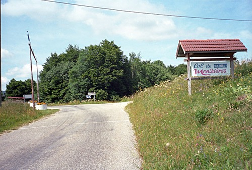
Just as you reach the nice sign for the pass (photo below), then the forest comes back after having had some nice and open views before. The other side of the pass is a on a very narrow asphalted forestry road that descends in stages. There was 5 m of gravel at the steep short last descent to Chézery (582m) (but this is probably fixed when you get around there). In the nice little shop in Chézery they had put up bicycle jerseys in the window in the wait for Tour de France passing by there some days later (or nearby anyway). After some little refreshments I continued down toward Bellegarde again, but on the other side of the valley where the road is rising (to 671m) before reaching Champfromier (646m). I am not sure if I took the first or second road taking off here, but think I took the first one (they soon meet up). The idea was to climb another BIG climb and ostensibly another pass, but it has no pass name. It is the climb to the Cirque des Avalanches (1146m), which was one of the hardest climbs on my whole tour this Summer. A suitably scary name it has. Note that it is the road over Monnetier!
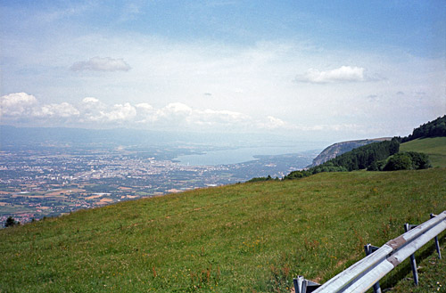
The Cirque des Avalanches climb is not long, but the gradients are around 16% for a long time on a very narrow road! It is similar in steepness to the hardest road climbs in all of the Alps, but it is thankfully shorter and therefore less well known. Undoubtedly I felt it was really hard since I had already done some climbing this day and now started to get reminded that I had not really been training bicycling for some months prior to the Alps trip and still had a little pain in my ribs and shoulder from the earlier accident. No place to drink here, but I fighted my way up to the top knowing the steepness would eventually end.
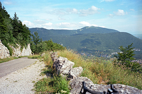
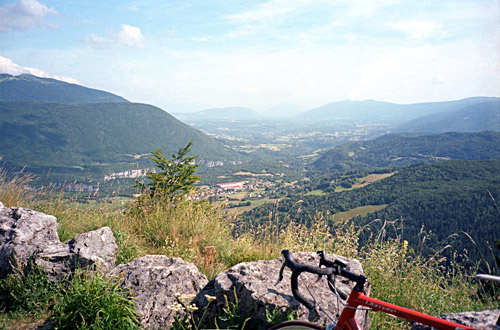
The last little stretch is nice with good views and from the top I stopped for some photos before the (still asphalted) road continues up in the woods (to 1177m), where it soon flattens out and a slow descent starts on a gravel road that I had hoped would be fine. There are two choices here, but upon visit I decided to stay on the main one (the one not barred) which should be a little longer supposing you would want to go eastwards (to the right) when reaching the asphalt road. It is only 2 km of gravel and it was cyclable since it is rather flat. The asphalt road that one arrives at was no bigger than the gravel road down there. In fact it is a very lovely forestry road that soon opens up to a nice country landscape (almost looking like some very obscure road home in Sweden).
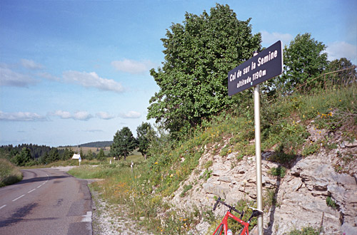
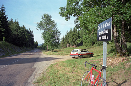
Actually the whole Jura area somehow reminded me of Sweden, but the roads here are more fun with longer climbs and some much better views. The drawback contrary to most parts of the Alps is the absence of any really high mountains nearby. I got slightly confused about my road choices, but found my way without any troubles. I was getting back again for a little while after a road crossing in order to get to Saint-Claude (429m) via two more passes. First it was the Col de Sur la Semine (1190m) and then the Col de la Croix de la Serra/Col du Désertin (1049m), from where there is a nice and fast descent to Saint-Claude. It was here I had a flat after passing by a girl on a bicycle, who happily passed by me soon after the incident. It was a flat on the front tyre, but luckily it went well.
Saint-Claude is crammed in a little gorge and looked like a nice little town. It is known for pipe-making and diamond cutting. I was a bit too early in the town to decide to stay there for the night. After looking at the map and counting on the time available before I needed to find a bed for the night, I decided to go ahead and take a chance on finding lodging further on the way. I was going to Haut-Crêt (1165m), which is another BIG climb. This climb is rather easy for being a BIG climb however. The start was fine and I soon found a water pipe for filling my bottle. The road is quite nice up here, but never really steep and it gets less steep the higher up you get. The climb is instead a bit long and thus it still takes time to get up.
I vaguely remembered something about a hostel (or gite d’étape) at Haut-Crêt, but was a bit worried as time passed by and it looked ever less likely that I would get across lodging along this road. I counted on being able to continue to the villages of Lamoura, Lajoux or possibly Mijoux. The last couple of kilometres are almost flat in a nice farmland landscape. At Haut-Crêt, the sun was still up and indeed there was a place open. I stepped in and got a room and dinner (and breakfast) for something like €34, which was one of the best deals I have had in the Alps, considering the good food and nice room.
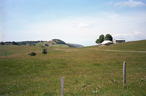
It was also a very quiet location and they were friendly at the place. So if you are on your own cycle tour this is a place I can definitely recommend (but maybe it could be more crowded if getting here later in the season). They even had belgian beers here! It seemed that it would not be difficult to find lodging in Lamoura or other places either in the area. The photo at Haut-Crêt at the bottom was taken the next morning.
