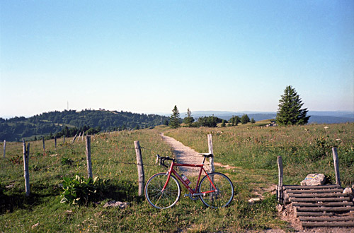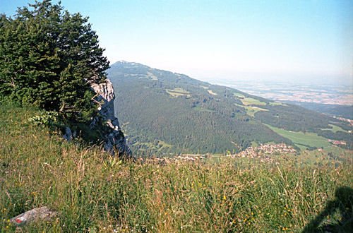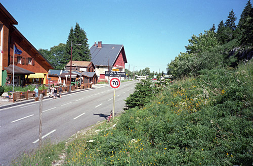
The weather was again perfect in the morning as I left Haut-Crêt. The road continues a bit higher (1169m) in the woods before one arrives at Lamoura (1154m). There was a huge bicycle made out of wood not far from the road here – maybe the Tour de France was passing by here later also. I took a photo, but it is almost invisible in the photo, so did not include it here. A local girl passed me by on her bicycle and I realised I was going very slowly, but was happy with this. There are many road choices up here and I needed to be attentive to take the right road.
After some long serpentines I came down to Mijoux (985m) (from 1192m). I continued up to the first real (well, named anyway) pass for the day, the Col de la Faucille (1320m). I had forgotten that I should have tried to see if the ‘route de la Vielle Faucille’ was practicable with a road bike as it looks much shorter (but it also looks like a gravel road on satellite maps). It is first a long climb out of Mijoux, and then an almost flat return to above Mijoux before I reached the pass. This is one of the more famous passes of the Jura mountains as it gives access directly from Genève to the Jura mountains area. There were no great views from this pass in any direction, but I could have climbed up the Petit Montrond (1534m) on an asphalt road for good views, but did not know of this at the time (only found out now when writing this and there is almost no mention of this anywhere). The climb to Petit Montrond from the Geneva side would be a hard climb.
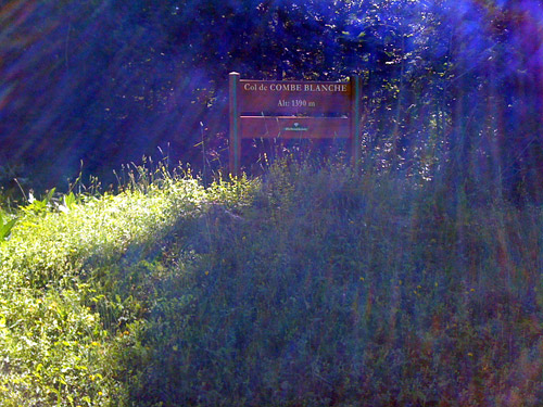
I was mostly interested in staying up in the Jura to collect some passes and get a little view of the area that I have never visited before. It was also intentional to put this in early in my tour as it would make for a less hard start of the tour, which would be long. I returned back and continued ahead in the Jura, but turned off the main road soon again to visit another little obscure pass. Some forest workers looked wondering at me while making my way up the twisting forestry road (asphalted) to Col de la Combe Blanche/Vattay (1390m). I am not sure if the other side of this pass is fully asphalted, but it looks asphalted on satellite maps with a choice of two variants and it is likely a harder climb from the Lac Leman side than the Col de la Faucille. (Many minor mountain roads in Switzerland that no map marks as asphalted have been asphalted.)
There were absolutely no views up here in the woods and the photo of the sign here is representative. I do not know if there would be any views lower down the Lac Leman side, but possibly. Here I also noticed that I had got a spoke broken in my rear wheel and had to get it out and adjusted the wheel just a little with my spoke wrench that I always have in my back pocket, so I could continue until I found a bicycle shop (hopefully). At first I went carefully as I was afraid of another spoke that would break. Somewhat ironically I got onto some really nasty pavement on the main road toward La Cure/Les Rousses. Here is also the end of the long Valserine valley coming up from Bellegarde, but there is no mention of a pass here (which should be at 1250m). The crossing here is so gentle and long that it does not come across as a pass.
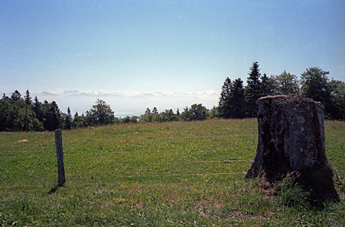
At La Cure (1155m) on the border between France and Switzerland, I had decided to actually go over the Col de la Givrine (1228m) pass and descend on the other side. Down at St. Cergue (1041m) I stopped for a cake and a coke by a pastry shop. Here I did not want to descend further and instead took a very nice road along the mountain to Arzier, where I had to descend a bit more. I had one photo on the way here on the highest point where you could glimpse Lac Leman and some mountain tops above the clouds in the distance (it looked much better than what the photo can communicate).
As I did not want to descend all the way into the very hot valleys, I had intended to climb up again via Bassins and Le Vaud (Vaud being the name of the Swiss area). However, it turned out that the shortest way was under repair and filled with thick layers of loose gravel. Not too cleverly I decided to try and cycle up this section anyway and the workers seemed to be gone for lunch. It was difficult and I had to walk some, so in retrospect I should have descended further and climbed up again on the good road to Bassins, but it would have meant another 139 height metres from La Cézille (570m). (Seems like I could have taken a minor road just below via Le Muids also). (My road was from 709m to 738m and then from 707m and up via Bassins.)
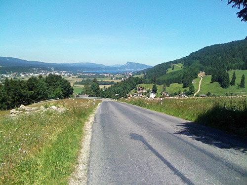
The climb was nice, but it was quite hot now. I passed by several small villages and when I arrived at St. George (936m), I needed to get something to drink. The shop was closed, but as I looked on the menu at the main restaurant I decided that no rules apply and that I can stop whenever I want on climbs. Typically one does not want to stop on climbs in order to get a real feeling for just how hard it is and to get it done. It is also easier to start again after eating if it is not uphill again at once. They did not have what was on the menu, but I got a good steak instead overlooking Lac Leman in the distance and I was now high enough so that the air was breathable again. It was a nice stop and I talked a little with some local man there. Third day I had a real lunch, now I was starting to long for cheap and quick lunches in Italy, but the food had been very good so far.
At St. George it started to get steep up the next pass for the day. Col du Marchairuz (1447m) is regarded as one of the hardest climbs up to the Jura district from Lac Leman and was part of the reason for laying out my tour this way. It is also one of the higher passes in the Jura mountains (I think it is the highest asphalted one). By the time I had reached the pass, the lunch had evaporated into the Swiss air. The road was good and wide and there are some nice views on both sides of this pass. It is really nice on the descent to Valle Joux and its lake, which I have a photo of here from each end. As there are many passes around this lake and all of them reachable without too much trouble, I spent considerable time around the lake this day.
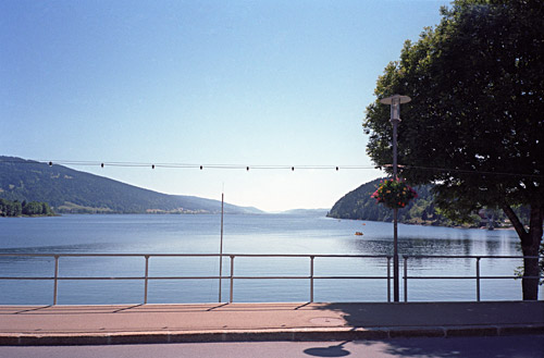
I had asked the man at the restaurant if he knew where the closest bicycle shop may be found and he had suggested a shop at Le Sentier by the west end of the lake. I stopped first in Le Brassus (1033m) for a cheap Swiss coke. (Coca-cola is always (at least) half the price in Switzerland compared to France, which is probably the most expensive country on earth for such things. They almost charge the same at grocery shops as they do at Michelin starred restaurants in other countries. I keep harping on this as I find it hard to see how prices can vary so much in the supposedly ”common european market”.
Just as I thought that I had probably misunderstood where the bicycle shop was located, I found it. They got me a new spoke, not an aerodynamic hand-forged Sapim CX spoke, but a trusted round one that I forced into place without taking off the cassette. People think it is not possible or very bad for the spoke if one bends it like that, but as long as it is not broken it works and so it did. I held up for the rest of the tour luckily. I did spend a little time trying to get a somewhat even tension on the spokes and not too hard on anyone, while having the wheel decently straight and it worked out agreeably. I also got a new inner tube and got the tyres inflated properly again. That all really made a difference so I could relax a bit more without being worried of a new fatal incident.
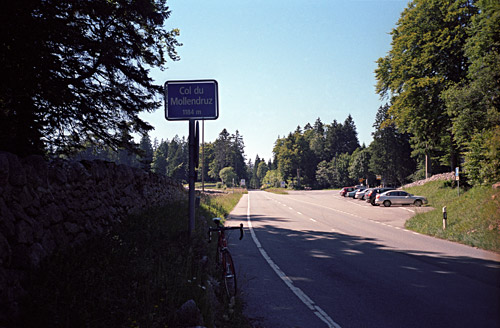
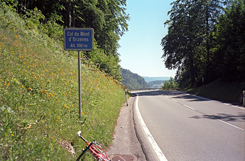
All fine and off I went around the lake via l’Orient and the south side of the lake. Next passes: Col de Pétra Félix (1144m) and Col du Mollendruz (1174m) where I met some cyclists, and retour to the lake. Then time for a photo from the other end of the sea (1008m) and then a tour and retour to Col du Mont-d’Orzeires/Col de Pierre Punex (1061m). Then I went back again on the other side of the lake to Le Séchey (1037m). Here I had noted a pass called Vyfourches (1045m) in the Swiss Cent Cols pass catalogue, but it did not look much like a pass upon my inspection. It should be on the way to the tiny railway station here and with some imagination, you may think of it as a pass, but not really much point to this being a pass.
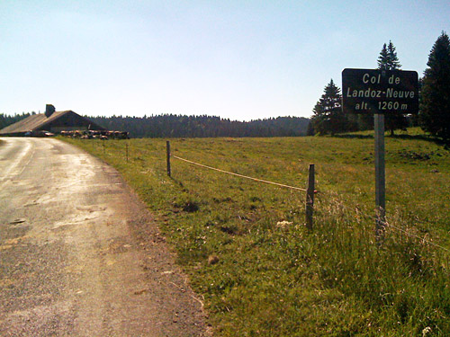
Time to leave Vallée de Joux and on a somewhat obscure way out, as I had thought. But as it now was time to go home from work, I noticed that I was not alone on this road that probably is very lonely outside of the hours when people go or come home from work. Many French people (just like Italians to the south) work in Switzerland during the day but still lives in France. The road up from Le Séchey is very narrow and a little steep. When it meets the other road up here it becomes easier to the top of Col de Landoz-Neuve (1260m), which is located totally in France. There are very few houses along this road. The descent on the French side was longer and the road surface was quite harsh (in need of repair for sure).
Down in France by Mouthe (935m) I stopped again for a soda (tried some odd local soda). Now I had some more flat-land cycling to do (it was also flat along the Lac de Joux). I think I took the D45 at Gellin to Rochejean (907m), but soon thereafter I did find the turn-off I was looking for to Mont d’Or (1415m). The climb to Mont d’Or and the nearby Mont Morond (1419m) are also two BIG climbs and part of the reason for wanting to climb up here, the other being the likely good views and that they fitted my overall plan. At Grand Champs, I think I saw a sign for Mont d’Or (but I believe there were also earlier signs for other alternative roads and there are more turn-offs later). This road should be the most direct one and it should certainly be asphalted.
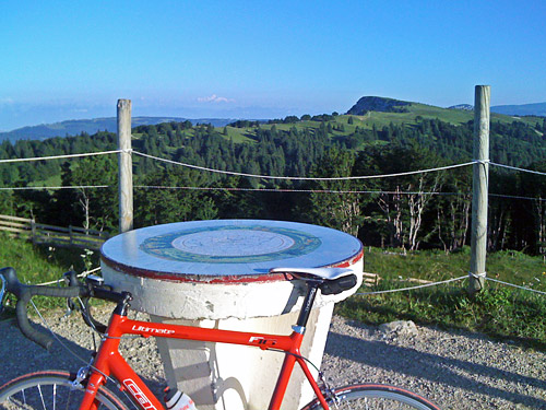
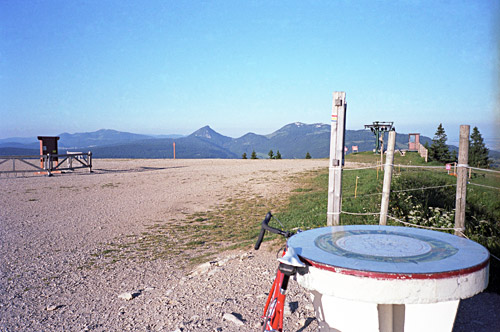
Just as I had thought (and read on the BIG website) it should be a hard climb up here. It is over 10% on average for 5 km and the last km is at 15% average. The last stretch was a real fight and harder than any similar stretch on the Cirque des Avalanches the day before, but the Avalanches climb was harder for a longer stretch, so this was still a little easier on the whole. I think I reached the max inclination for the day here at 22%. The views were indeed great at the top, but the sun made good photos difficult in some directions. My original idea had been to partly descend another version up here and get over half-way up the climb to Mont Morond or simply go down to the start of the Mont Morond climb and do it properly too. However, I noticed the partly cyclable ridge path that obviously went over to the Mont Morond and thought that this would probably be the last for the day anyway more or less, so I could as well enjoy the great views from up here and perhaps be able to cycle part of the way over to Mont Morond from here.
The path was good in that I got some really nice views in decent temperatures up here. And now in the afternoon I only met one family on the whole (otherwise probably very popular) hiking path. The path turned less good eventually and I guess I only cycled like 15-20% of it. With a mountain bike you could cycle most of it. Cheating never comes very easy up in the mountains and in the end I guess I had spent nearly as much energy trying to get up to Mont Morond and I still had to fight my way up the last steepish stretch to the top on the road as the direct path was a bit too steep to be a good alternative.
Again very good views at the top of Mont Morond (1419m), maybe better in fact as you could get up here properly to the actual top on the bicycle (apart from lifting the bike over a chain where the asphalt ended at the top). On the way down I met one mountain bicyclists and some youths riding horses. I also noted when coming down the quite steep road that had much debris over it, that it was in fact closed to traffic. Always nice to learn after the fact that the road one travelled was closed, and this would not be the last such instance for this tour.
Some kids looked at me down by the playground one arrives at wondering if I really had come down that road (maybe). I guess few would try it out in the current condition with a road bike, but it was just about practicable.
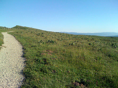
Down at Métabief I went to Les Hôpitaux-Neufs to collect another minor pass called Col des Hôpitaux (1031m). Apparently this col has been relocated to a road besides the motorway on the mountain side above this village, which I was not aware of. Nor is the current Club des Cent Cols location making any sense as there is certainly no pass at that location. I went toward Les Hôpitaux-Vieux as I remembered the col as being located on the local road in the vicinity of this older village and followed the road up and down and then up to the big roundabout, before returning back the same way again. Looking on the map now, the pass must really be located at the high point between the two Hôpitaux villages as the name would suggest as well. This would mean a height of 1031m. (The 1058m height of the current Cent Cols listing is the hight of a bridge over the highest point of the motorway crossing this pass some hundred metres to the north.)
Now going south from Les Hôpitaux-Neufs (993m) leads you to Col de Jougne/d’Enchaux (1025m), where one joins the national road. It started to get late now, but I would have wanted to get out of France for some weeks to come already this day. The problem was that the next plan to access another pass somewhat easily, was not such a good idea this late in the day. Still I decided that what the hell, let us have some adventure. But, the adventure soon become a bit cryptic as I had decided to not ask anyway about the way and since the map was not particularly clear. I had not brought very detailed maps with me and only made notices and occasional photocopies of difficult places. This I had thought would not be difficult as I had thought I should find the road or at least a sign for Refuge-de-la-Joux, but there were no such sign.
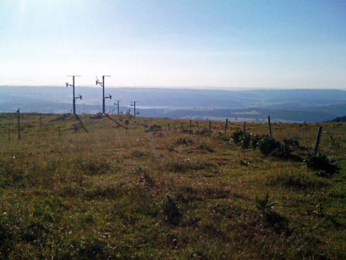
Still I thought I could guess after looking on the different roads out of Jougne the one to take and went up a steep road from the centre of Jougne. This road eventually sort of ended by a shabby house. I returned and turned in the wrong direction and came back down to Col de Jougne. Then I descended through Jougne to see if I could find a place for the night there and stopped at a place looking somewhat cheap by the road, but they had no rooms. There was also one higher up looking even less charming, but no one seemed to be there. I had spotted another one looking obviously much more expensive as I again was trying to find the way for Refuge-de-la-Joux, where I had hoped might be a place to stay at, similar to the nice one at Haut-Crêt. Just as I decided that I probably had found the right way, I also decided to forget it and ask the price at the better place in the village. They had a room and I got dinner. Even if it was not very cheap, then I guess it was the right decision to stay there.
The next day I found out that I would not have found any place to stay at before a long time and that I might very well have got lost in the forest up there and really had had some adventure, although not too nice. Everything was fine at the hotel, but here I paid like 100 euros (in total) and still it was better in every detail at Haut-Crêt for one third of the price. Now I was getting to Switzerland. This was about to get an expensive vacation. I was trying not too think so much about the money as things would likely get cheaper at some other places and I have also had the opportunity to stay over at some friends along the way.
