The fine weather continued on this day last day of the main tour. I went for a ride after one day of rest in Chamonix that I bring here after this day as the last day of the tour. Blatten was only part of the way up to Belalp and Aletschbord (2132m) where I was going. The son living at Stiereberg had worked up there, but he did not remember much about the road up there (just that it seemed high up). The road continues nicely up and after a fork it gets steeper up to Tschuggen and then to Täätsche/Tätschen (1767m) where the asphalt road becomes a restricted gravel road (no sign forbidding cyclists that I can remember though – I saw no cyclists of any kind, nor did I hear any comments). It is prudent to be careful of walkers and others especially up at Belalp where there can be many.
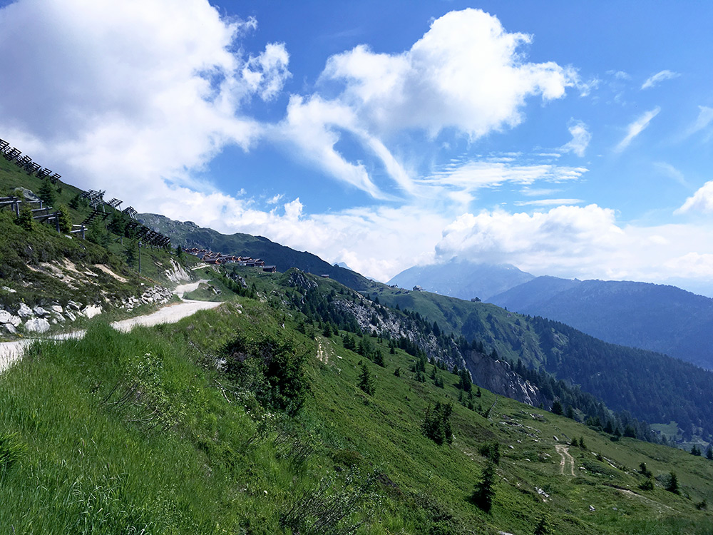
The gravel road turned out to be okay and not too steep, both of which I had feared as I was not aware that anyone with a road bike had been up there before (later saw it was included on the quaeldich site). There was soon one problem and that was that they were working on a stretch, so there I had to pass by on foot (like 100m). After that there was one big bend on the road which was a bit bad and I did not want to take chances so walked through that too, but otherwise I could cycle all the way up to Aletschbord without stopping for more than the photo above of the first views over Belalp. There was one steep place just as one entered the area that I have a photo of below, but otherwise the problem was letting a motor vehicle by, and avoiding disturbing some walkers when the road was narrower up on the long last section.
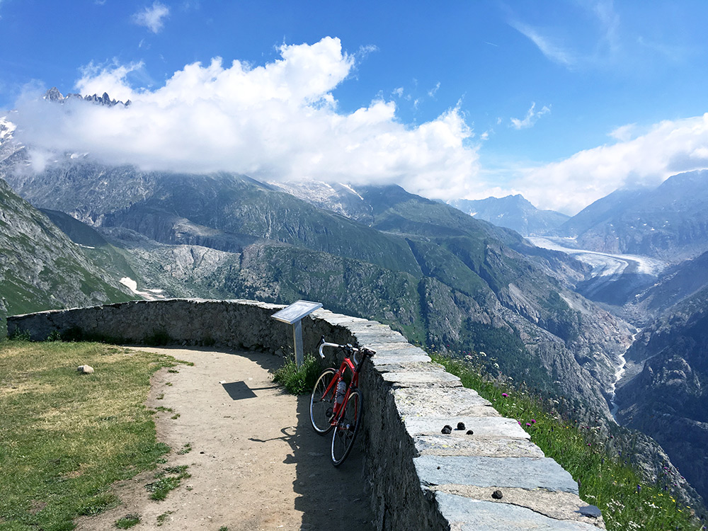
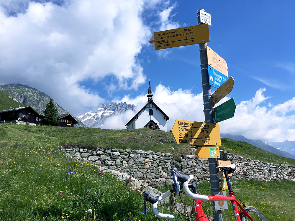
The photo above is from when I reached Aletschbord/Hotel Belalp (2132m) (sign says 2136m). I was very happy that it turned out to be a possible climb with a road bike despite having not heard much about anyone being up there. It is also one of the nicest places in the Alps one can reach with a bicycle. I heard (once upon a time) that cyclists are not popular up here, but if you show that you are a respectful cyclist I think there will not be a problem (esp. if going alone). Here is the classic view up the Aletsch glacier (Grosser Aletschgletscher).
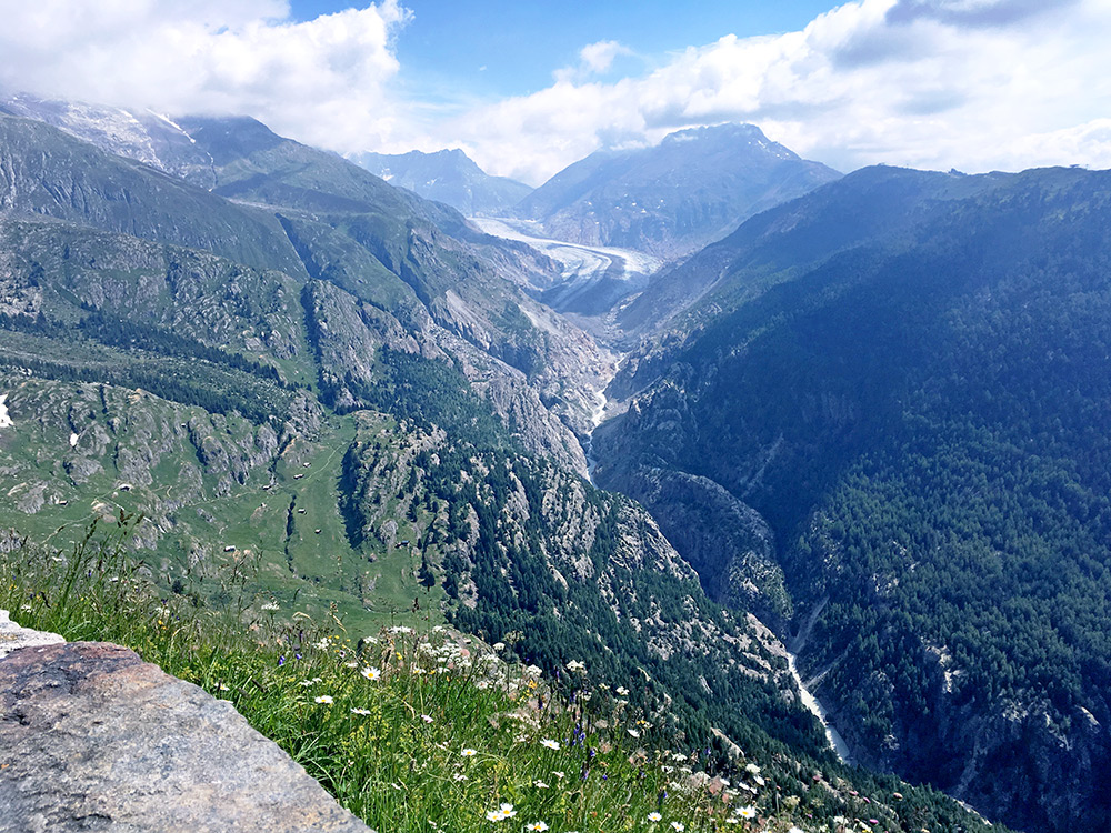
One more photo showing a bit more of the other side (slightly hazy and wished there had been even less clouds, but pretty good views nonetheless).
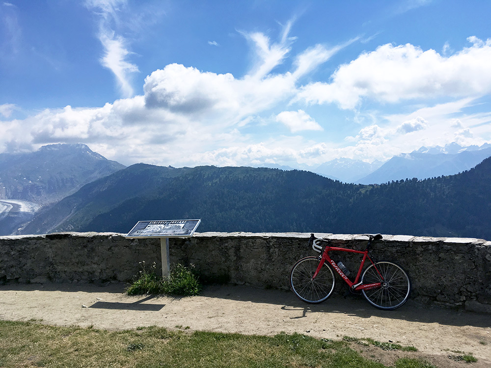
Here is the view across the valley to Riederalp and Riederfurka (2066m) that I was up at in 2009 and could not see anything at all as I had dense clouds all the time on my visit, but even in perfect weather one would not have as great views from there.
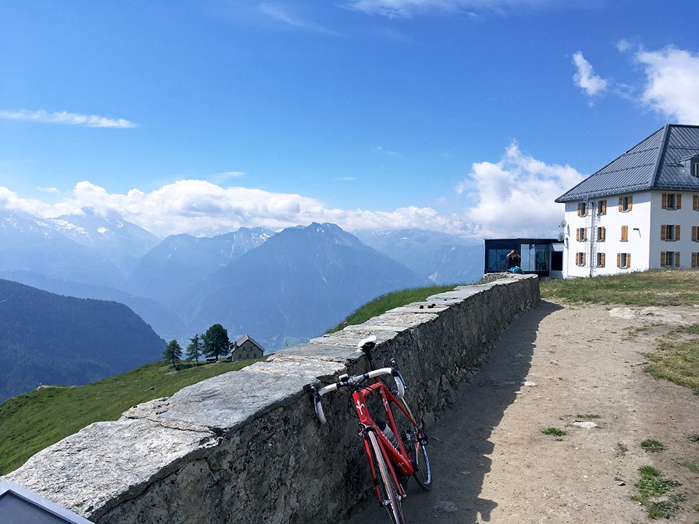
Here is the big Hotel Belalp and views across Wallis/Valais.
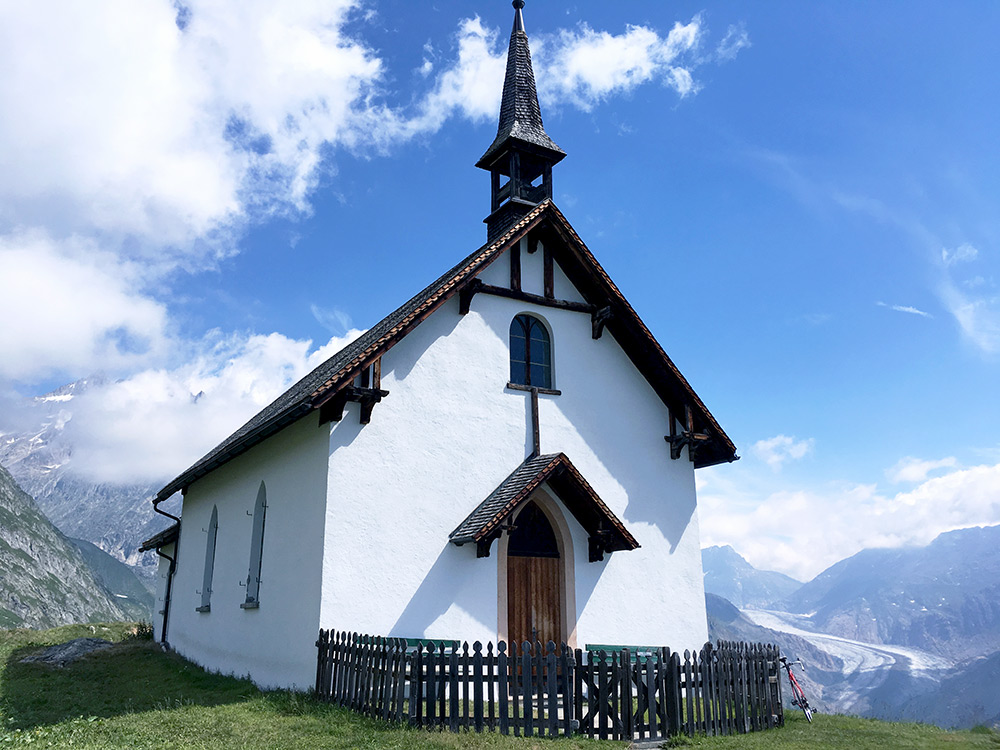
Had to walk up to the little church for some additional photos. A lovely day and not too many people around.
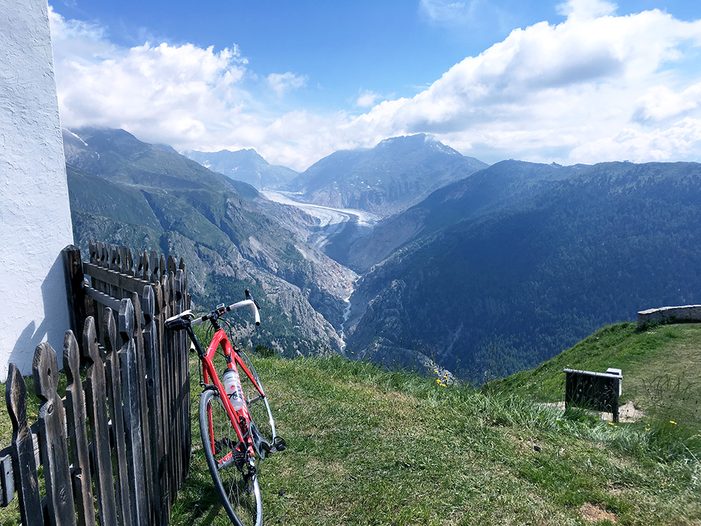
Fair views from the church … .
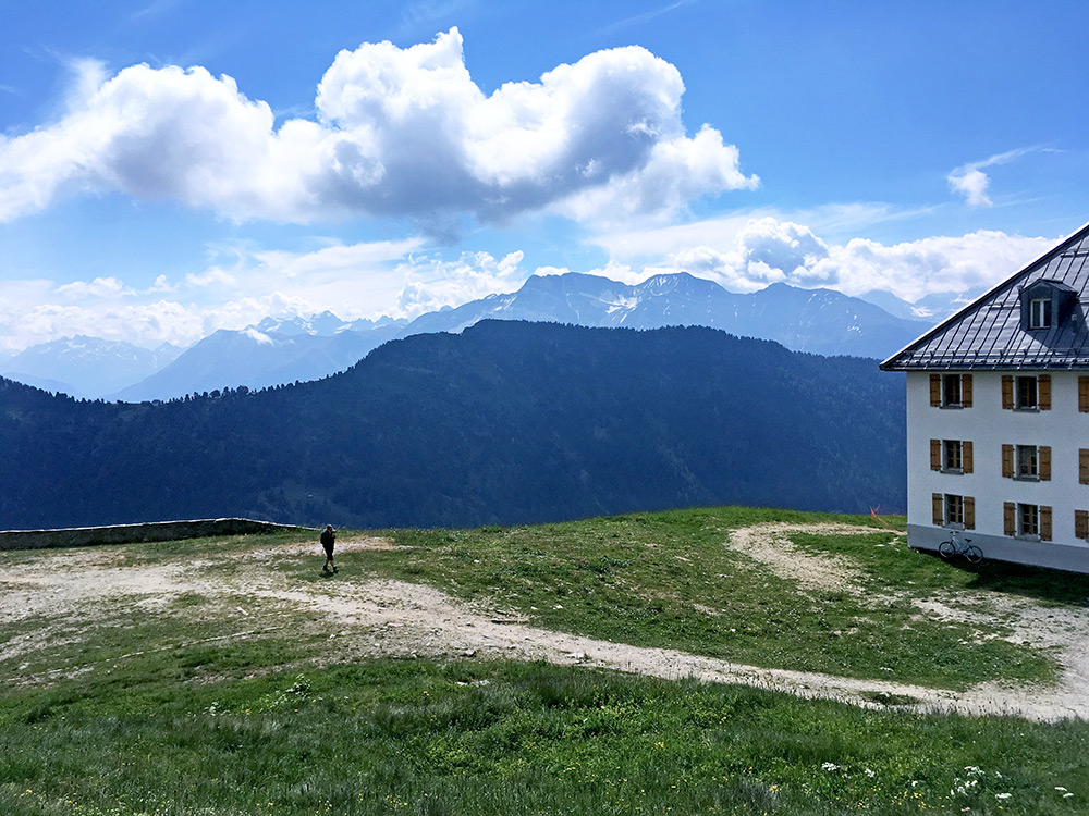
From the church the mountains on the other side of Oberwallis was more visible.
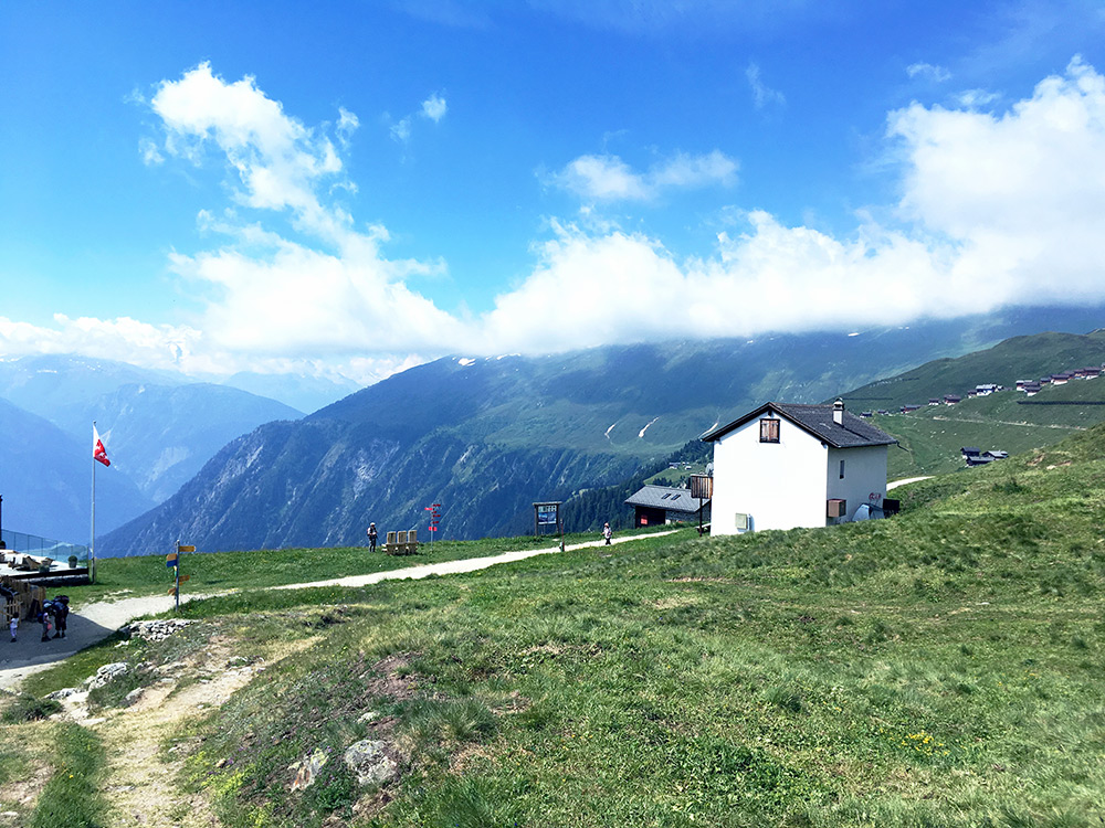
Good views from here also back over Belalp and from this viewpoint it looks rather unlikely to get up here on a road.
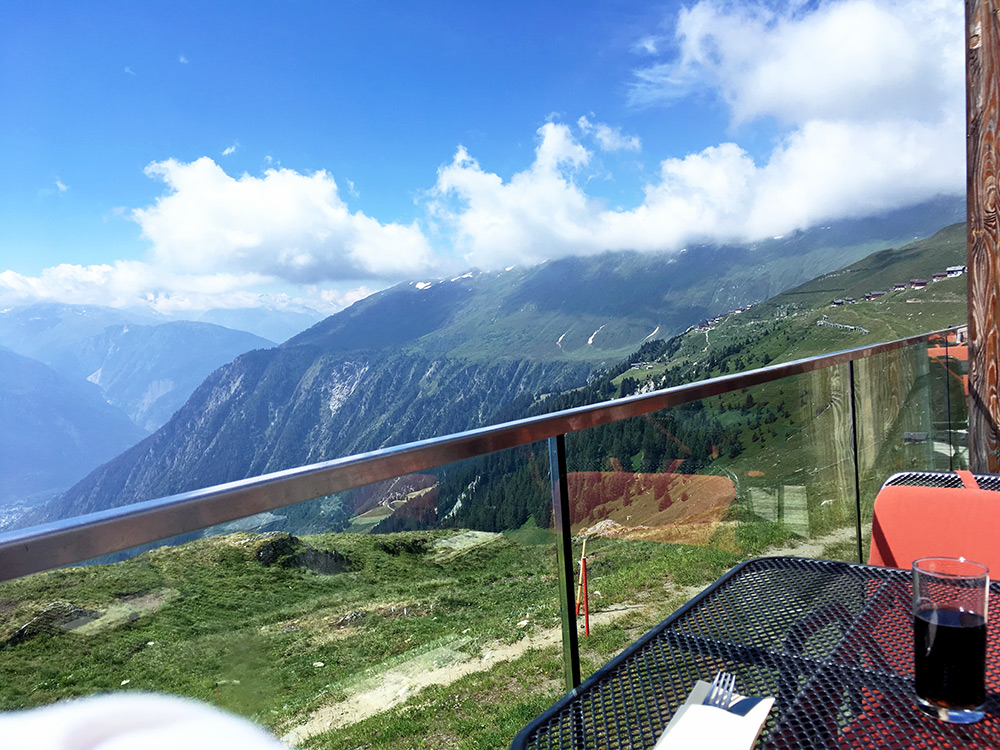
Just had to order a coca-cola at the hotel to enjoy the views from the hotel.
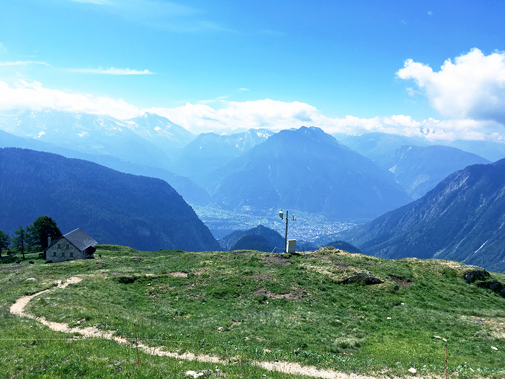
Then went back again the same way, but stopped for some more photos along the way. Again very difficult to adjust the photos for the strong sunlight. Looking down on the Simplonpass in the distance (almost visible straight ahead).
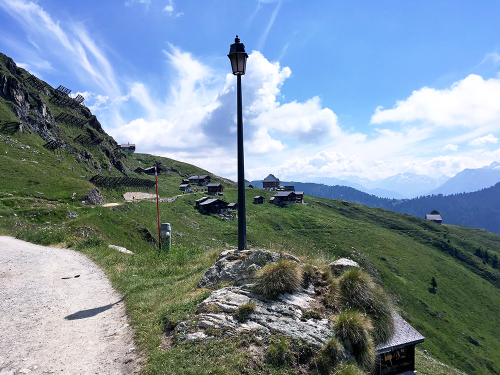
looking back up the last stretch to Aletschbord/Hotel Belalp.
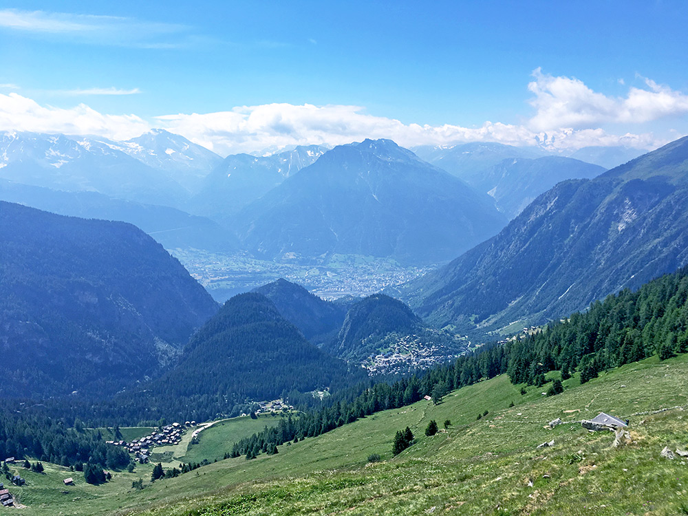
Looking down to Egga (1648m), which is the alternative end of asphalt up here, but even if the landscape looks fairly open all the way down there, there is only a path up from there.
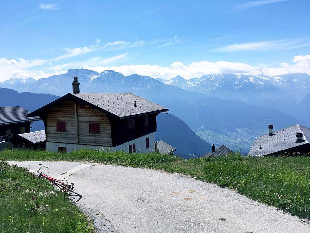
At the Belalp bergstation (cable car) there are some metres of asphalt, but only like 150m. Here at the highest asphalted point (2117m).
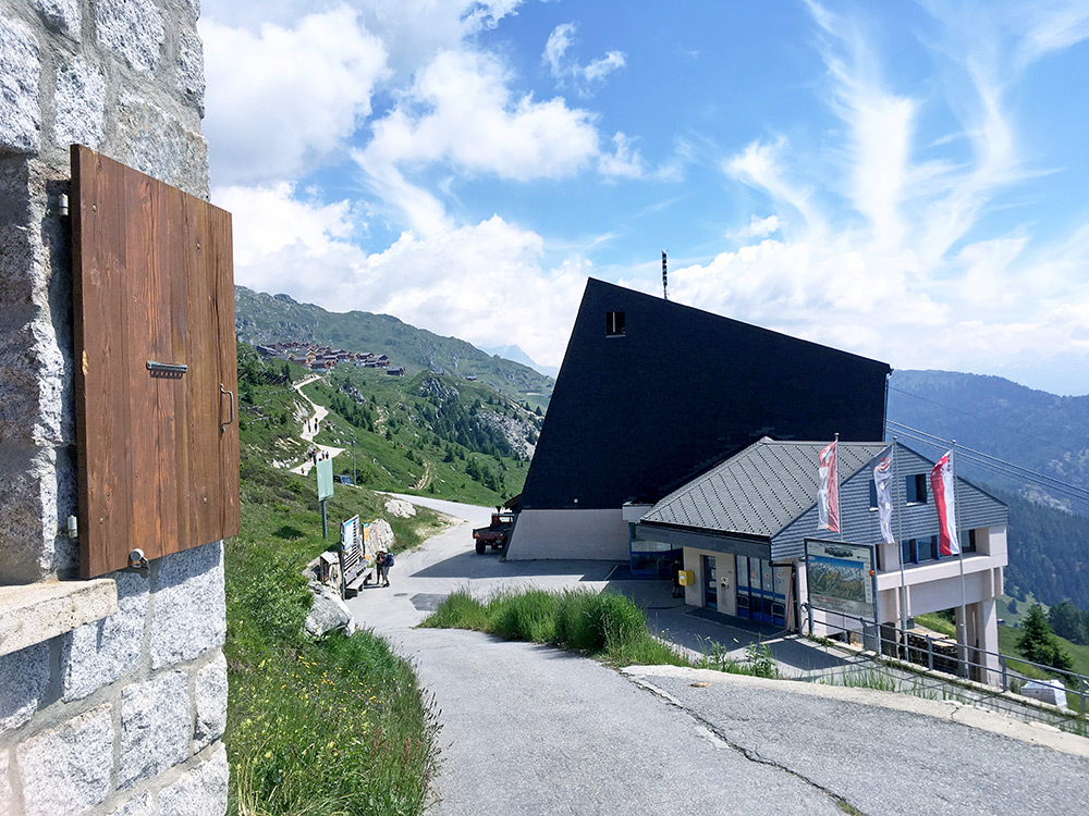
Bergstation Belalp and Bruchegg.
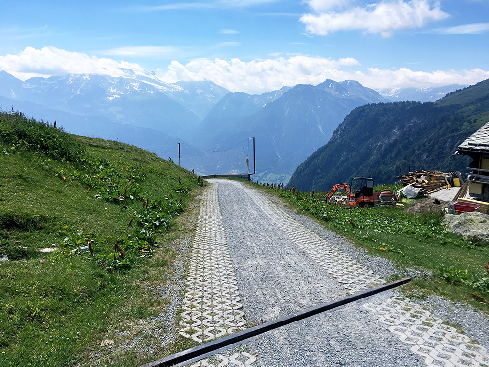
The steep section at Bäll where you get over 2000m on the only road up here, but with some help of concrete for the wheels.
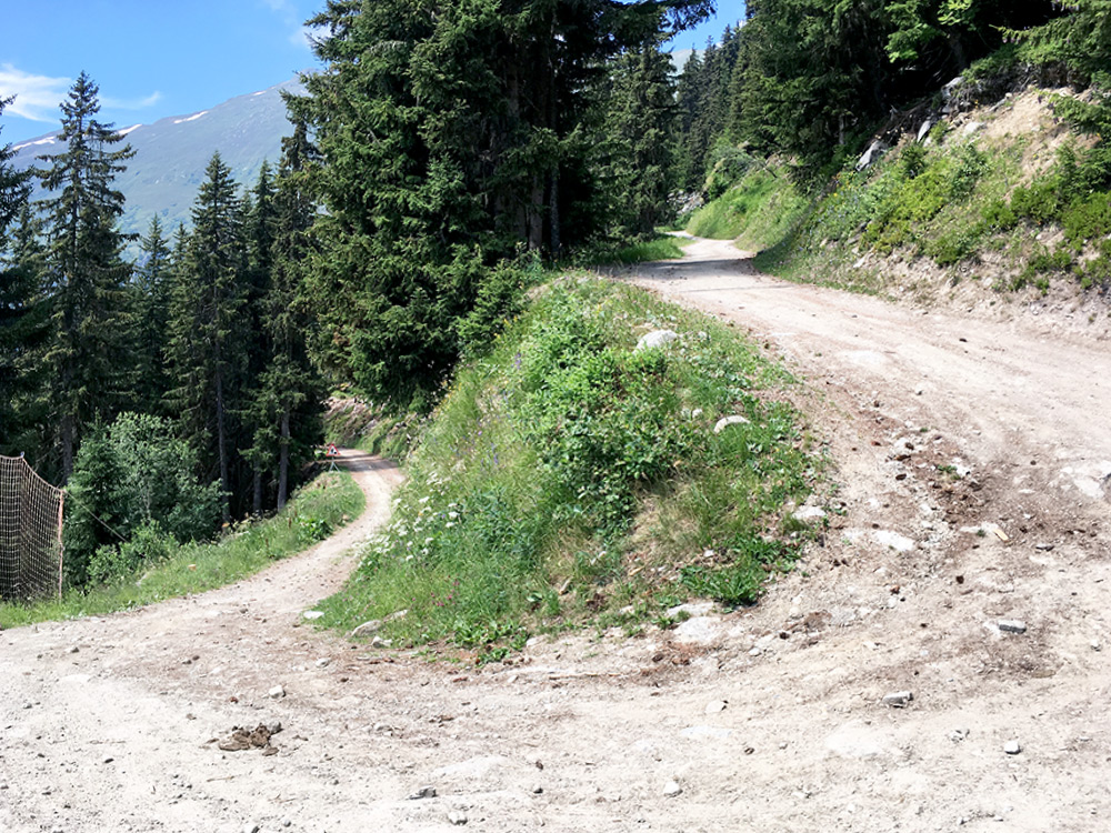
The somewhat bad only switchback on the gravel road at 1843m where I walked.
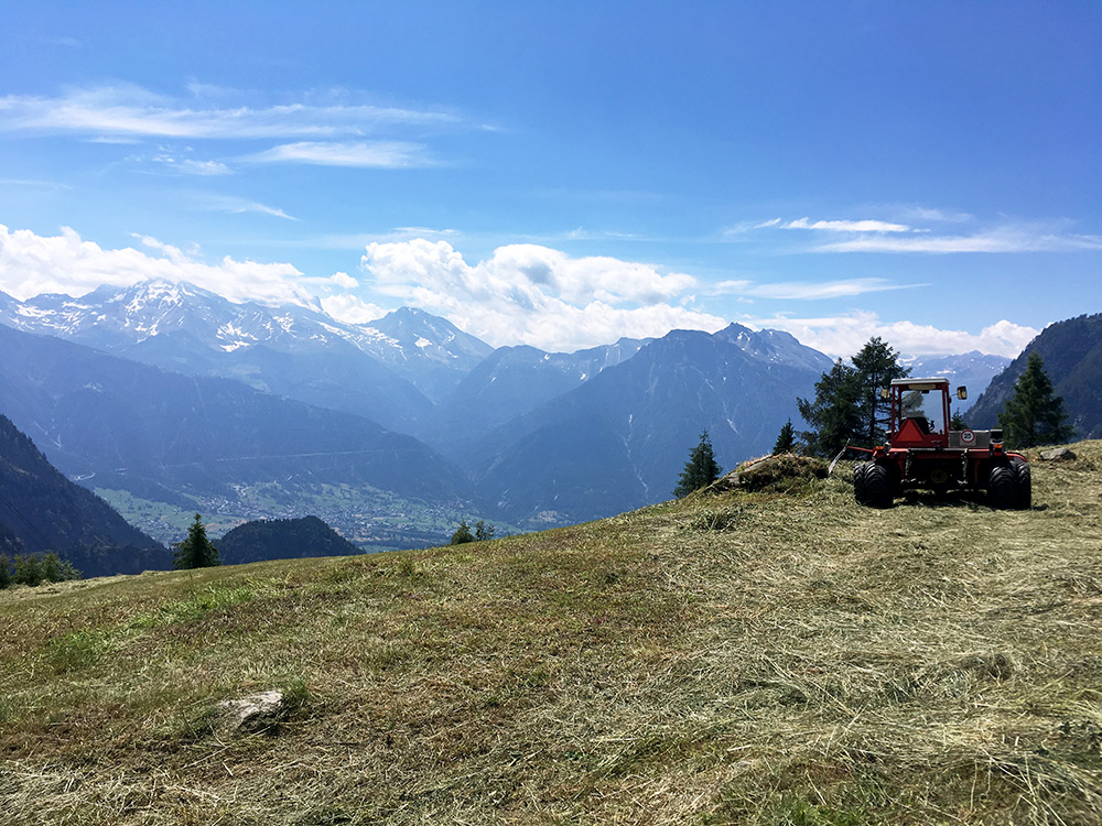
Finally the view from Täätsche/Tätschen (1767m) for those wishing to turn around when the asphalt ends. Here you can see the new and old roads up to Simplonpass (the old coming up to meet the new one).
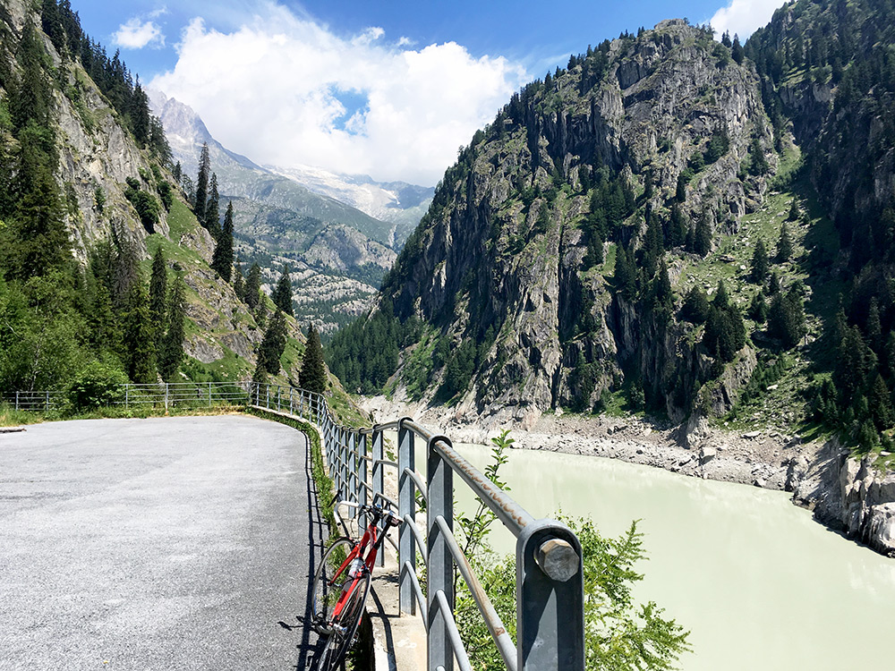
Just before coming back to Blatten I turned off onto the Egga road (1410m), but turned away from that as well to go and visit the Stausee Gibidum (1484m). It was nice to see the Massaschlucht and the dam.
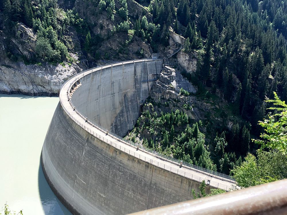
Here the dam building with a steep path going up to Riederalp.
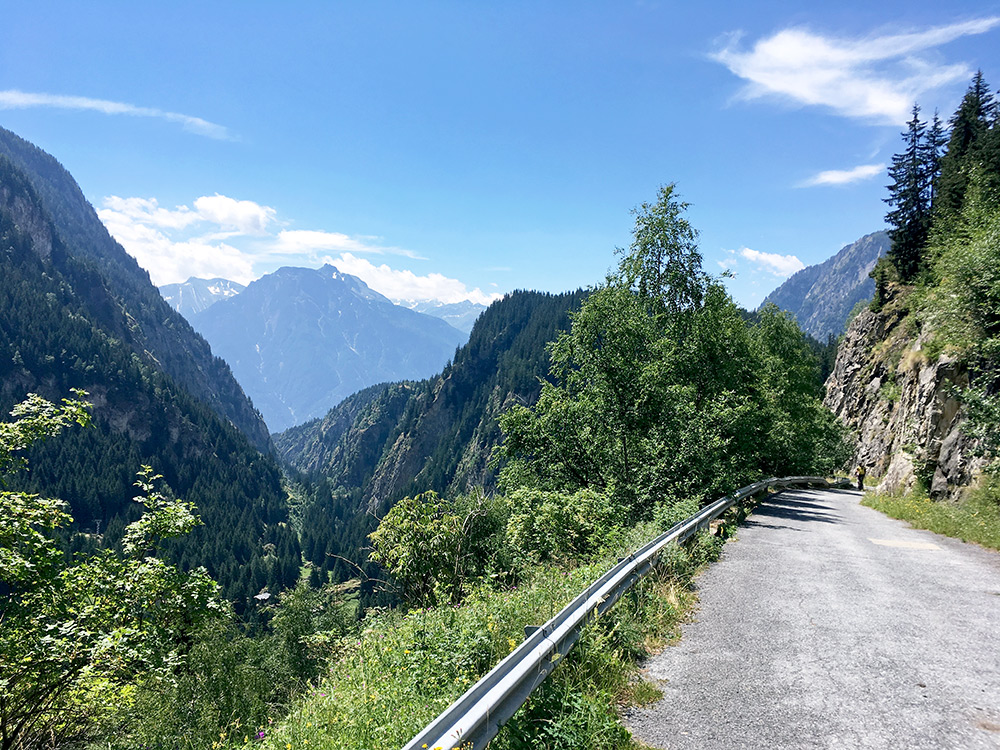
The Massaschlucht through which only one long path goes on the other side.
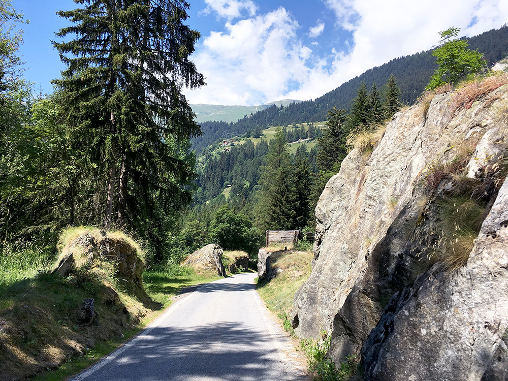
The peculiar little road here is sort of a pass road in fact (with the Burge mountain below). Blatten (1327m) is also itself a sort of pass for the Blindbärgji mountain.
Then down to Naters and Brig at last. I wanted to make sure I got back to Chamonix this evening as promised, but also to make one more climb (at least) before going back. Thus I decided to take the train to Sion, even if it is not a very long ride on the bike. Guess I was feeling a bit like I just wanted to end the adventure quick. Still I had one not all that easy climb to Loutze to do.
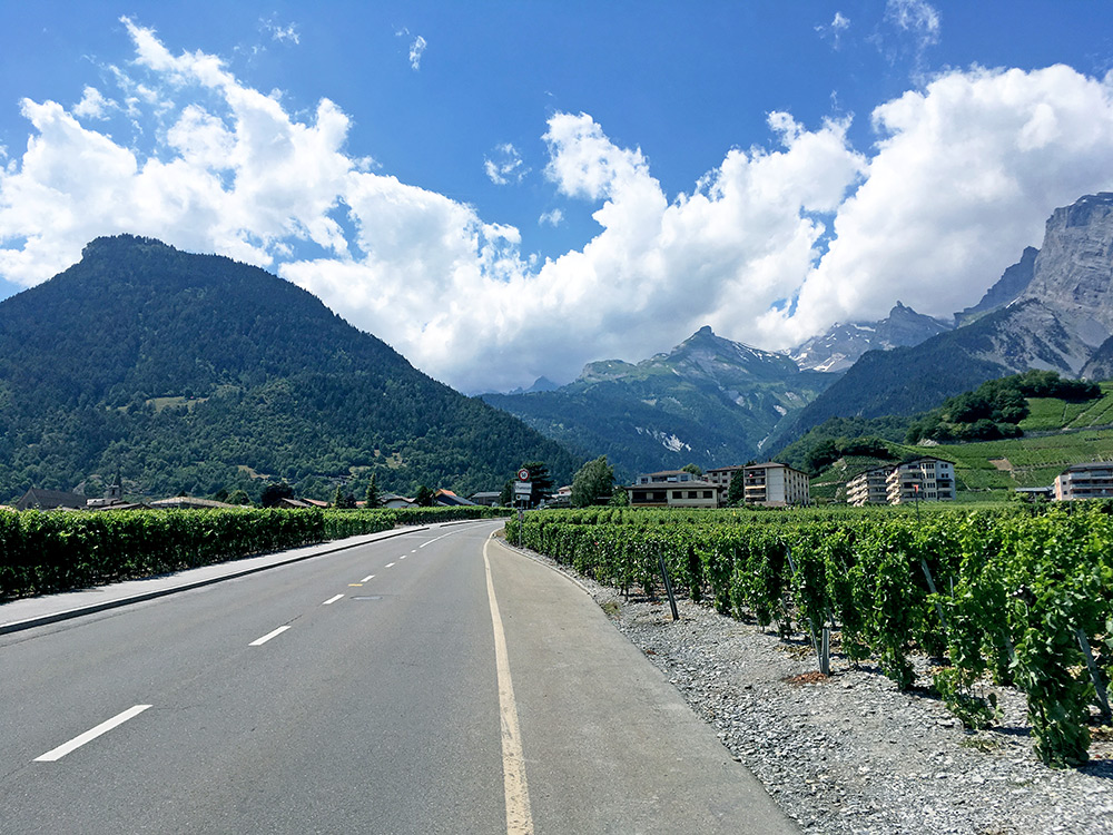 The climb starts either in Leytron (504m) or in Chamoson (just after Ardon) (489m). Just before entering Chamoson in the photo and where the road starts to climb up among the vineyards. It looks nice, but it was also fairly hot again now. The road is a bit steeper up to Ovronnaz than I had thought, where it goes up to ca. 12% on average for 4 km (11.4% from the bridge 5.3 km before the turn-off) and from the turn-off for Loutze it is even steeper (12.1% for the last 3 km, but over 15% on the steepest km). In total 1235hm, 12.9 km, 9.6%.
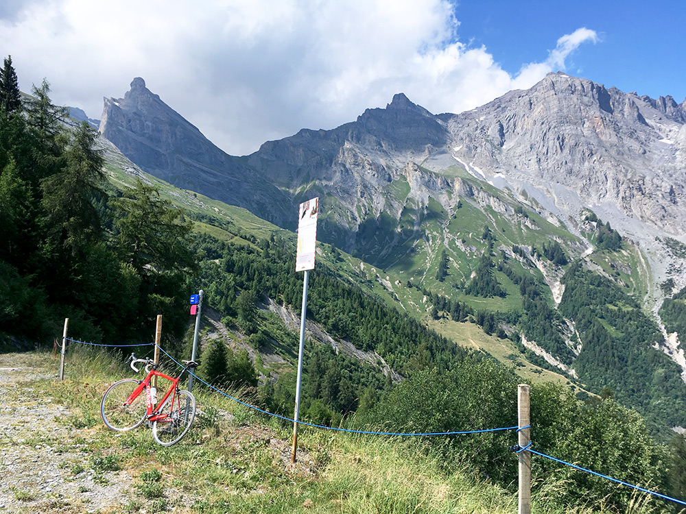
The last stretch was much more lovely in terms of temperature, so no problem with the steepness and it felt like it was the last climb, as it turned out to be, before going back to Chamonix. It was very nice on the very last section and a very nice little fromagerie (cheese producer) at the top. I noticed it was open and got the idea to buy a piece to bring with me as I was mostly going downhill now anyway. It was a very good cheese that I could taste there. Unfortunately we forgot about eating it up when I was back in Chamonix later (my sister said she did finish it though). First view to the right at the top here.
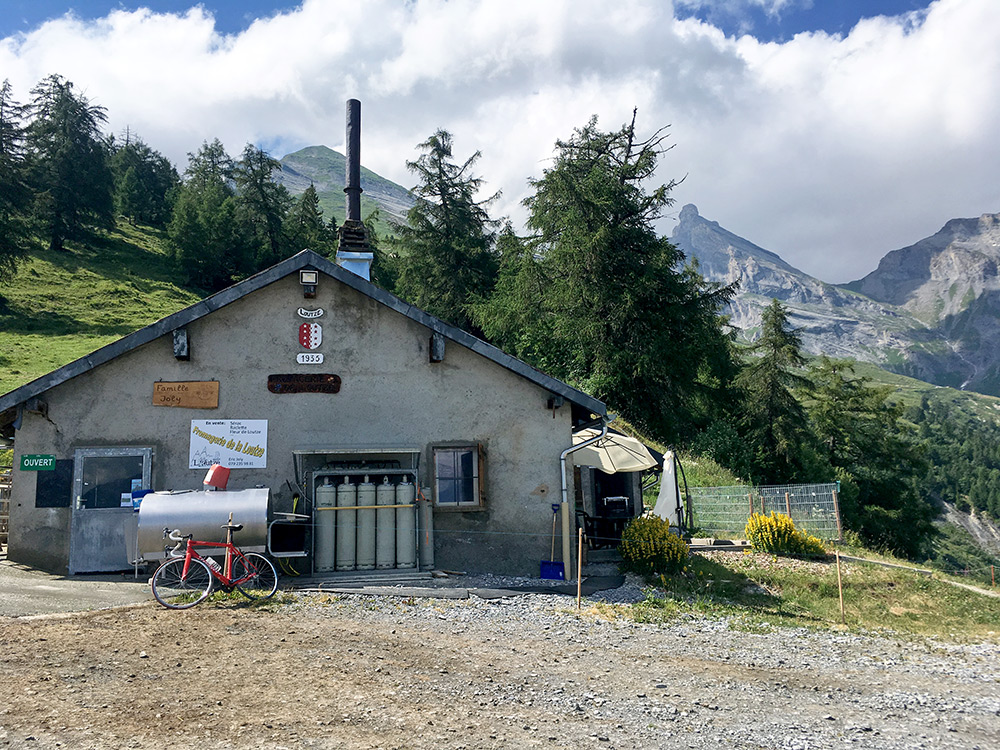
The fromagerie with a nice lady selling cheese.
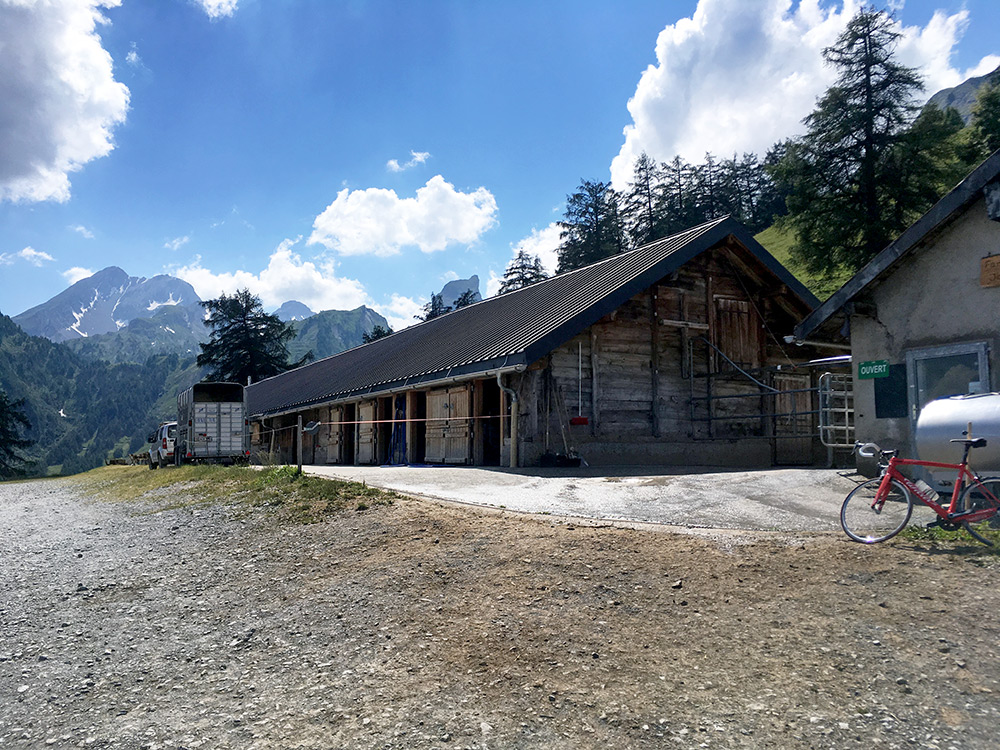
Views to the west.
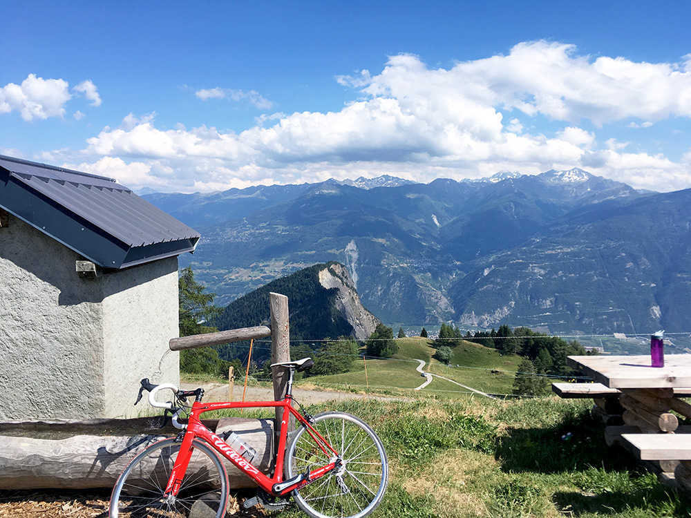
The view across Valais/Wallis.
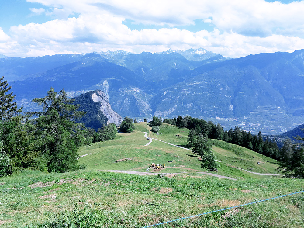
Another view (could not choose again).
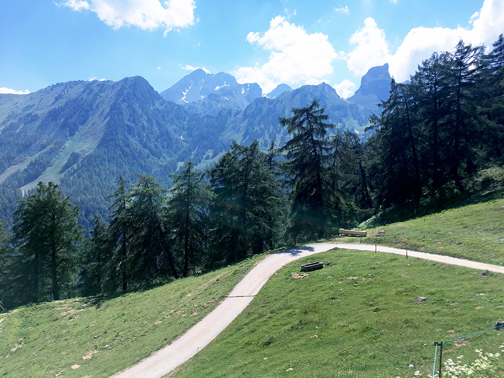
The last stretch of the road.
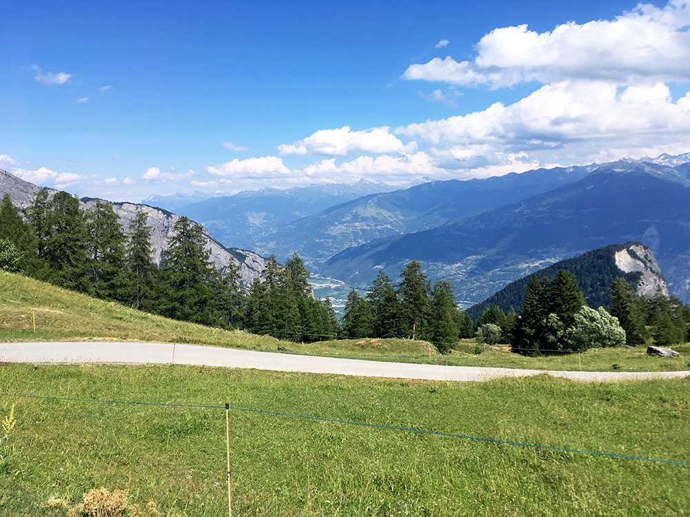
Looking up Valais/Wallis toward Sion (not visible).
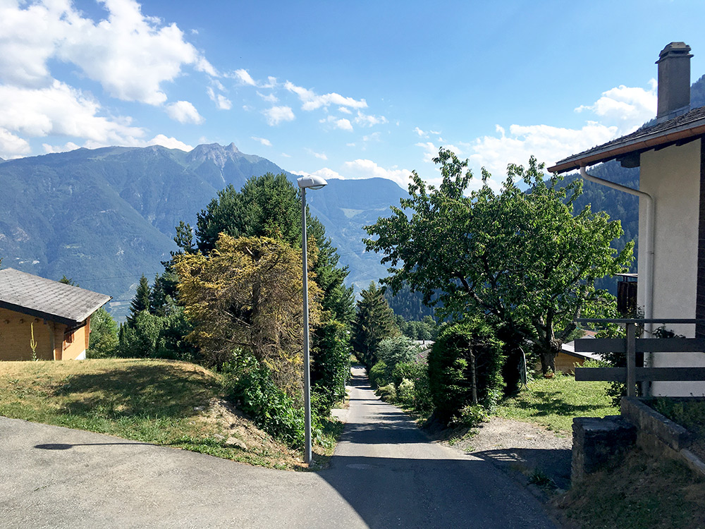
Yes, as Ovronnaz is sort of a pass too, I decided to go down the other side toward Martigny (but the two starting roads are not very far apart). After starting flat the road soon after it started to go down was closed off for road work and one was led around Ovronnaz on another strange detour ending with the road in the photo here which was very much single lane and close to 20% steep. Otherwise the road is nice and more open on this side, and almost as steep as on the other side, but the other side is a more consistent climb to Loutze/Loutse.
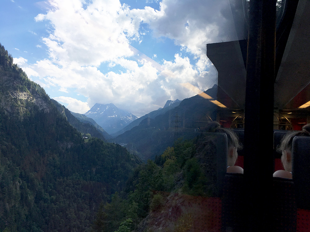
I stayed on this north side of the valley until I had to cross the river to Martigny. The road was narrow. I decided on the way to skip cycling over Col de la Forclaz and Col des Montets once again and took the train instead. I had have some thoughts on trying the old gravel road from Vernayaz and tried to inspect it as the railway cross it on the way up. It looks like it is likely a bit too bad. (I know a Russian cyclist who went down it after I think I mentioned it or if he found it on his own many years ago and think he cycled a lot but also said it was not good for road bikes.)
Here the view from the train window at Le Trétien – there is really no ground outside the railway line here. There is a gravel road on the other side of the valley too, but it does not go all the way up to the normal road. One can climb the normal asphalt road too to Le Trétien and then climb a gravel road for there to Finhaut and I have cycled that way in the opposite direction all the way, but there is a section of tight hairpins on a very narrow road where it is quite steep at ca. 20%, so on the border of what can be done climbing.
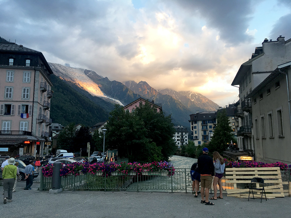
I went off in Les Bossons and cycled up to my sister. The photo is from later in the evening when we went out on the town. Then I had a rest day (walking around stopping among other places at the club café at the golf course, which actually was good and reasonable prices). My sister insisted on going out dancing late at a club – I wanted to sleep, but after another beer or two I spent my last strength for the day there (had a photo after midnight of the dj, but too dark). The day after I went on another full day of cycling before going back home. So jumping to that day on the next page here.
