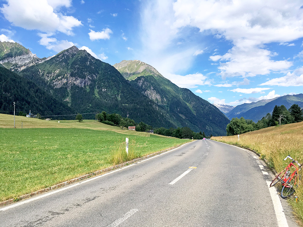
Perfect weather in the morning again and now at a higher altitude, at Dalpe (1187m), it was not unbearably hot. Despite going down to Dalpe on the way down to Valle Leventina, it was up from there to an unnamed little pass at 1240m from where this photo was taken straight ahead.
Now it was nicely down to Rodi-Fiesso (945m).
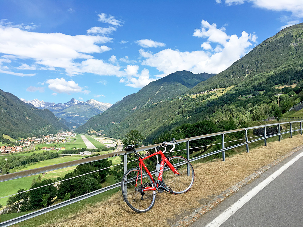
I only followed the main road a short while before switching side in the valley and taking the road up from Varenzo, where I stopped for a second photo up the valley. It started to get hot on the climb, but I also gained height.
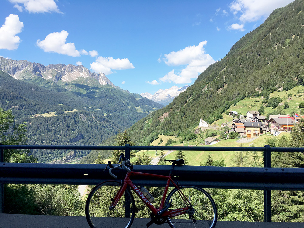
Eventually I reached Altanca (1410m) and the only time the road went down a few metres on the way up to Lago Ritóm (Diga di Piora) (1851m). In the big bend before I realised it was nice and stopped for two photos, here seeing the village.
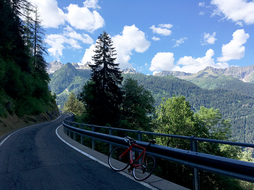
This is were I came around the corner to get a little shade for once. I almost missed the turn-off at Altanca and only because I saw a car going up there I checked my maps and realised it was the road to take. I had expected a bigger road leading to the dam.
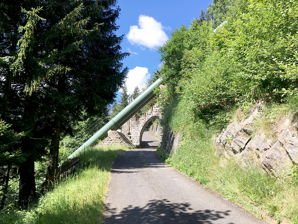
It is a nice road but with one almost endlessly long serpentine. Here I am passing under the cable car railway going up here very steeply.
The road is getting narrower still near the top and I met a car here thinking he could pass me by safely, but unfortunately he had his right-hand looking mirror broke off against the rocky mountain side, but not place to stop and it was not my fault – it was simply too narrow there.
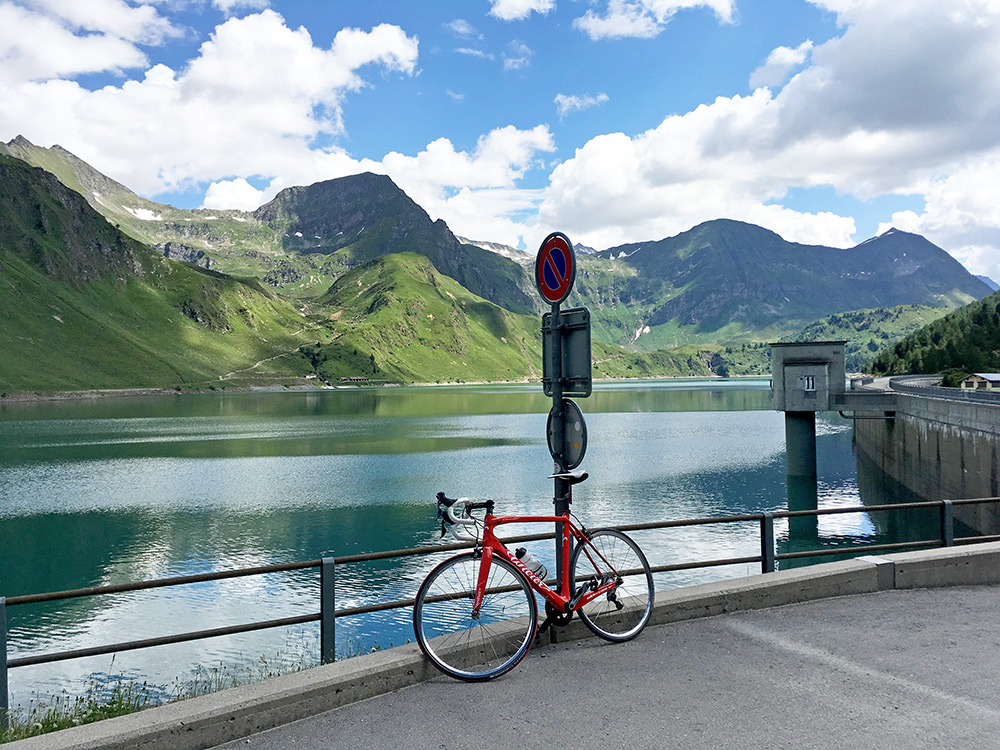
First view at the arrival at Lago Ritóm (Diga di Piora).
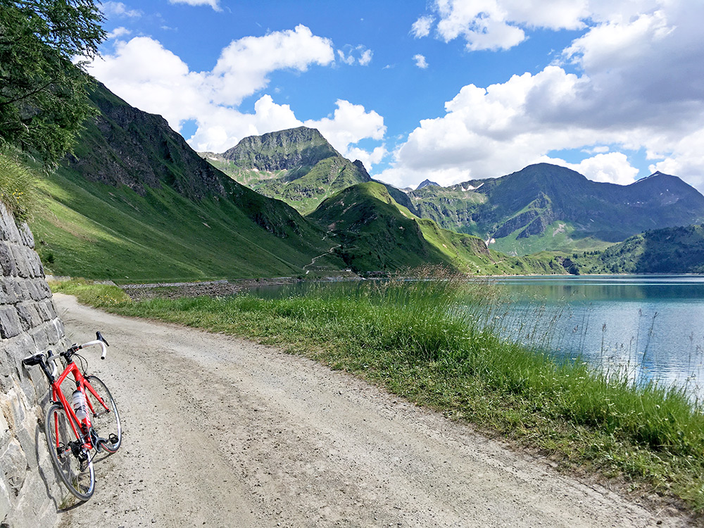
As I knew there was a good gravel road along the lake that continues quite some distance above the lake, but it is not the first one seen in the photo (bad one), but the second one only vaguely seen. It is just too far to try and get over to the Passo del Lucomagno/Cuolm Lucmagn/Lukmanierpass here and one would have to walk for a few hours with a road bike (I believe). With a mountain bike it is a fairly popular crossing though. So even if an inviting road, I only went to here for a better look ahead on this road.
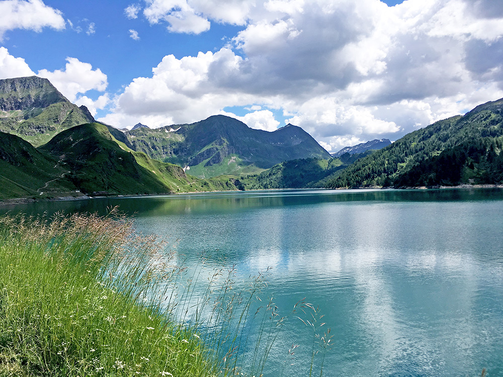
From here I could also see all of the sea.
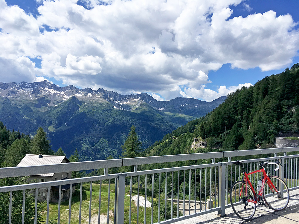
Looking across Valle Leventina from the dam here (and the narrowest part of the road up here).
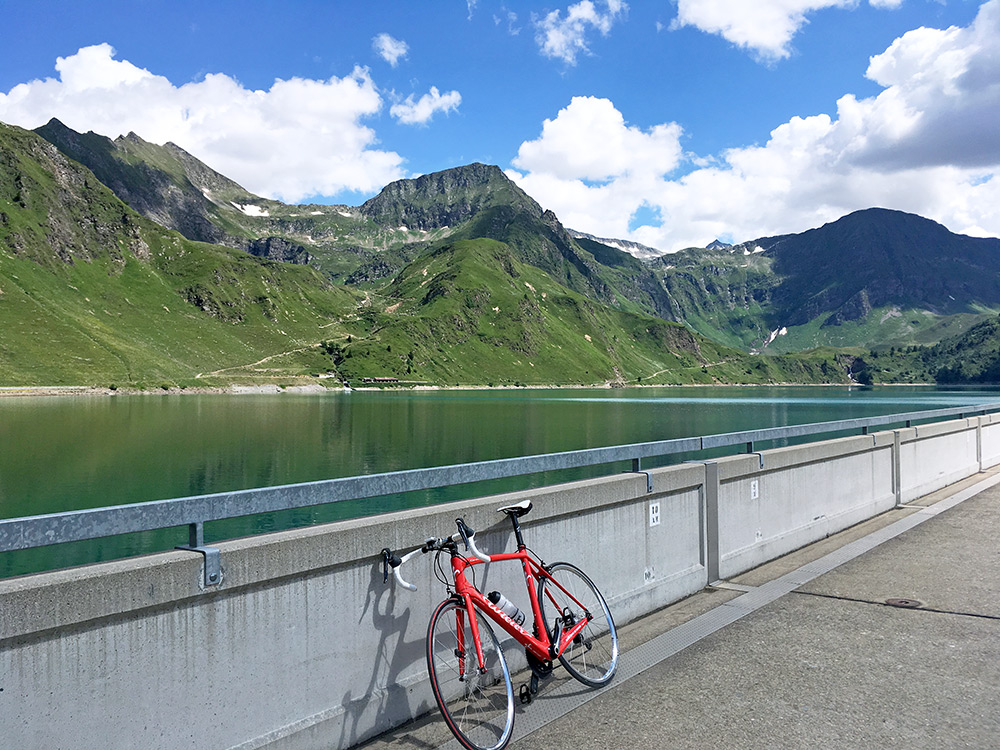
A last look of the lake and I could understand why it is a popular destination to visit.
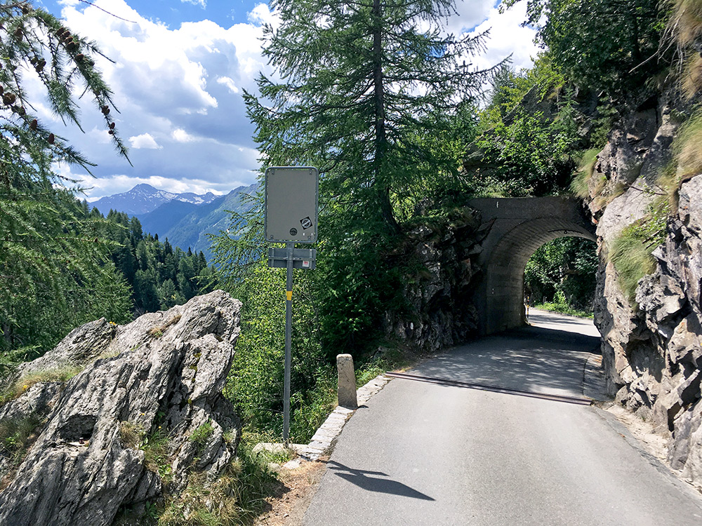
You see the rock wall is not exactly flat on the right-hand side … and the road is narrow, but it is also the nicest section of the road.
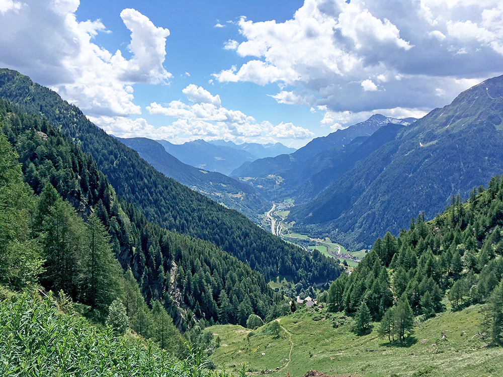
The houses below looks like half-way down to the valley, but it is Valle (1647m) and only half-way down to Altanca and from there it was like 440m up from the valley, so perspectives are sometimes hard to see in photos. (Had to check the photo carefully and compare to the map several times, because I could not quite believe it myself even if I was there.)
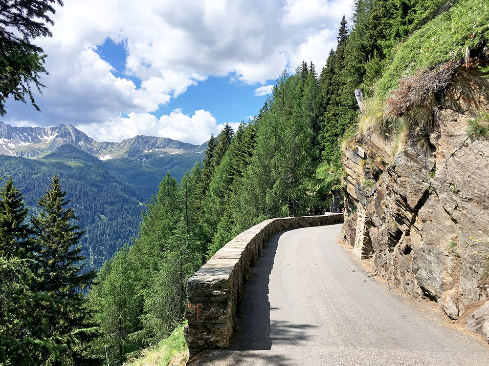
I think it was here I had the meeting with the car that was a bit too wide.
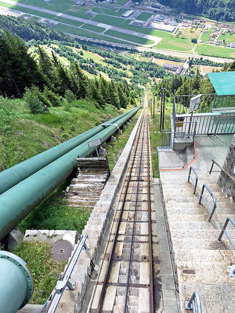
The direct route to Lago Ritóm! You also have a handy staircase next to it if you prefer to walk or run up! (I guess it might not be allowed, but if you are outside of operating hours, then maybe.)
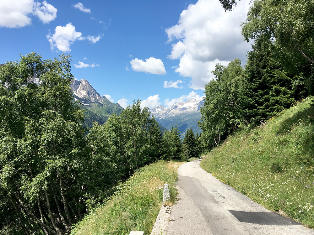
After coming down to Altanca, I continued on the mountainside road to escape the valley as long as I could on the way up. This photo was from near Brugnasco. The road goes a bit up, but mostly it just goes down and more so at the end when the road becomes wide. I took a small road in Madrano to go down at Valle (1116m), where I have once more reached the valley when coming down from Passo Scimfuss and where I had to walk part of the stretch down earlier on. I was on my way up there again, but surely not that way.
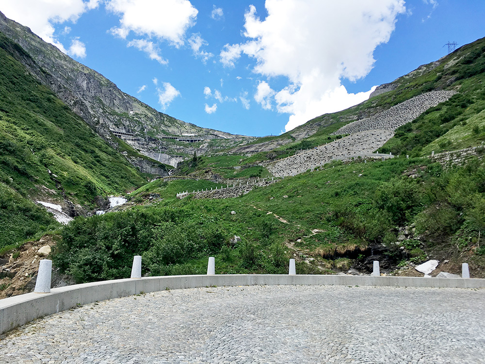
I stopped in Airolo for a coffee, but first bought a coca-cola and yoghurt in the Coop grocery, so I did not have to buy more at the café. Sitting on the main road for going up the old Tremola road to Passo del San Gottardo/St. Gotthardpass/Son Gottard there were a few cyclists coming by. After a while I felt ready to go up there too. Think it is third time now for me to climb it in this direction and start to learn the road, but it is the way to go up there and maybe the most classic pass road in the Alps after all. Trying to find some new angles to take photos in on the way up here.
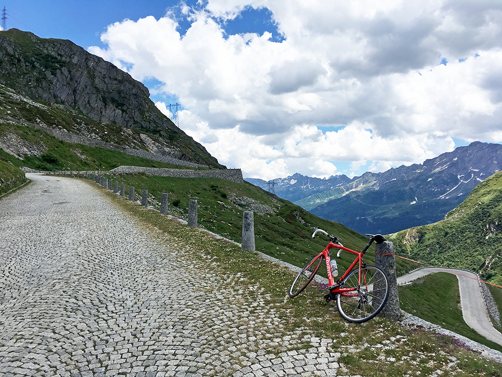
The cobblestones are still fine and obviously they switch out some stones. It is fairly finely made, but not always so perfect flat, so still I am happy for going up rather than down. The gradients are easy.
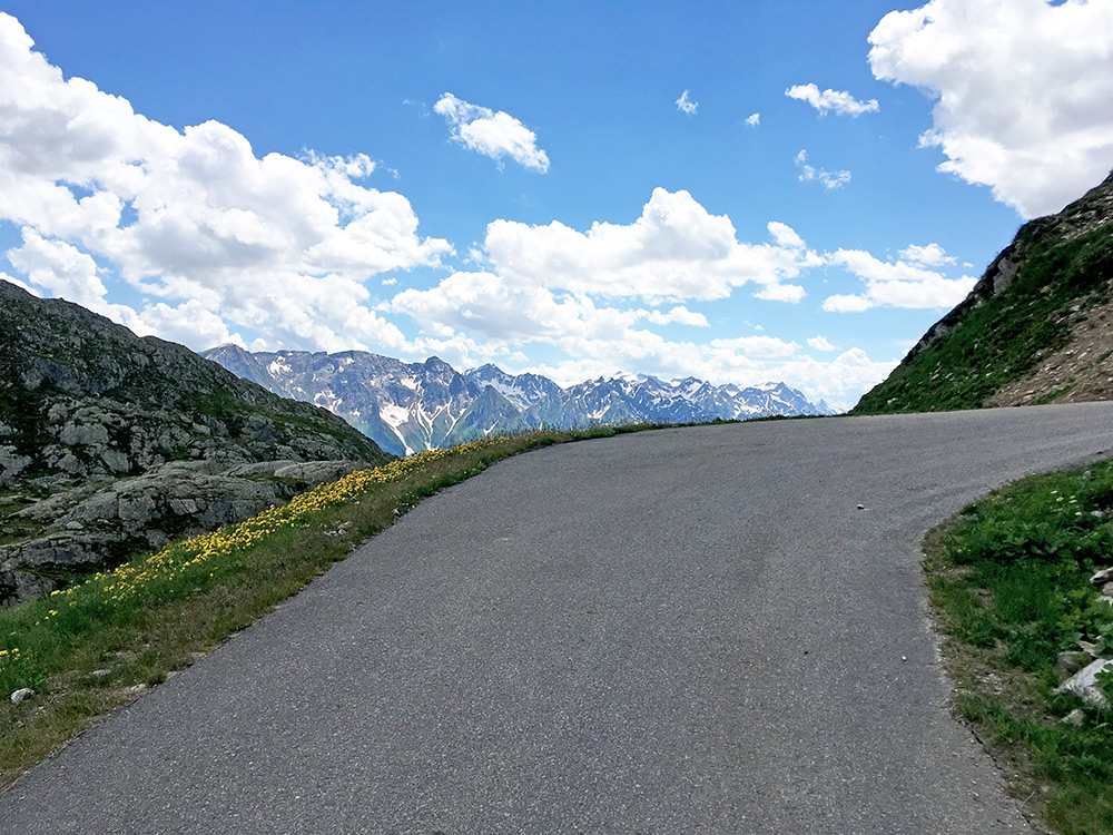
By the St. Gotthard hospice I turned off on the tiny road climbing up to the right (second time), but this time I was not only interested in the curious passes (Bassa della Sella and Passo Scimfuss) like last time, but also wanted to see the Lago della Sella (2257m) which is actually the highest paved point on the Gotthard climb, but Passo Scimfuss (2242m) is more climbing as the road goes up and down there. In the photo is the last curve up to Lago della Sella.
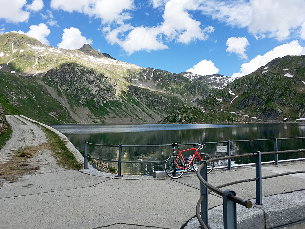
The Lago della Sella itself in great weather.
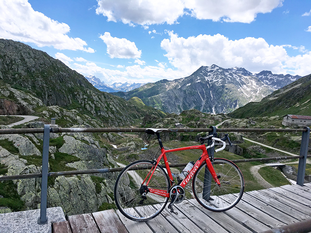
The views back down from across the dam.
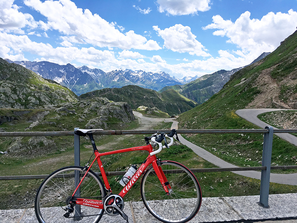
The views back down of the final climb before descending to Bassa della Sella and the turn-off for Passo Scimfuss.
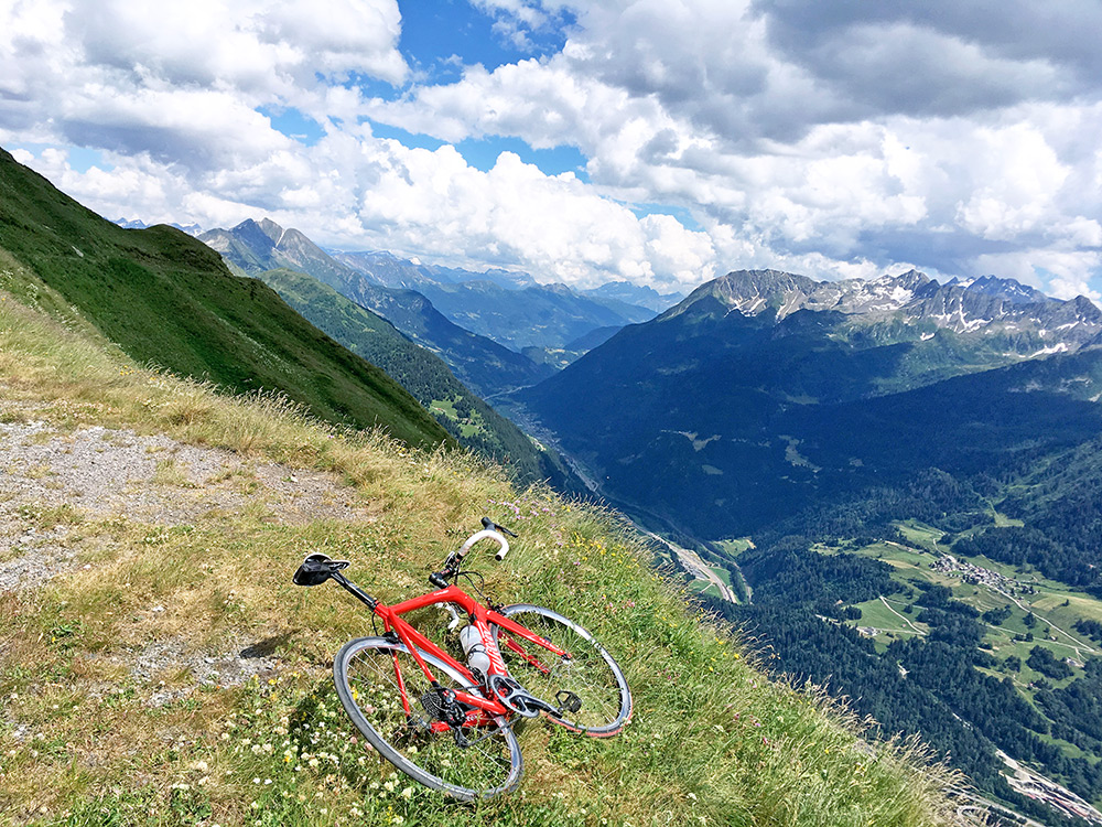
Passo Scimfuss is a pass contouring the mountain, but not really separated by higher ground on the outside, but still it takes you to a different valley and it has all other things in common with a true mountain pass. And anyway it is the most beautiful spot anywhere around here. So took a lot of photos here (last time I was here I only had a analogue camera and had to save on photos). Looking down the Valle Leventina.
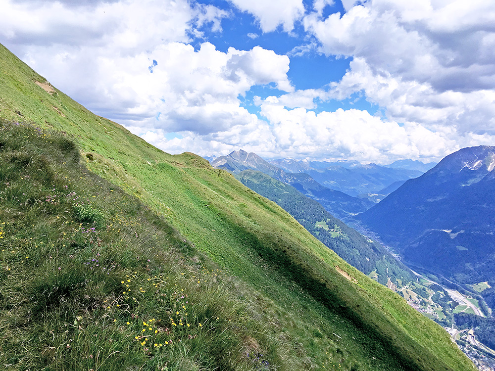
Same direction and the road is hardly seen just above.
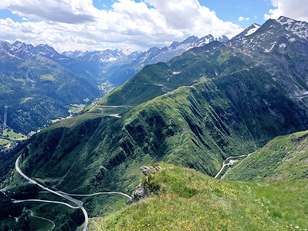
Here the modern road up the Gotthard pass and the Val Bedretto which goes to Nufenenpass/Passo della Novena/Pass da Nueinas/Col de Nufenen (2480m) – the highest paved pass here around.
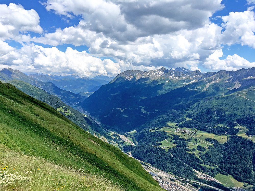
Looking a bit more across the valley.
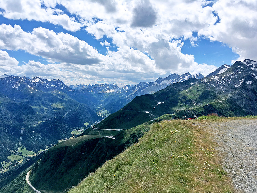
Again Val Bedretto and the bike laying down.
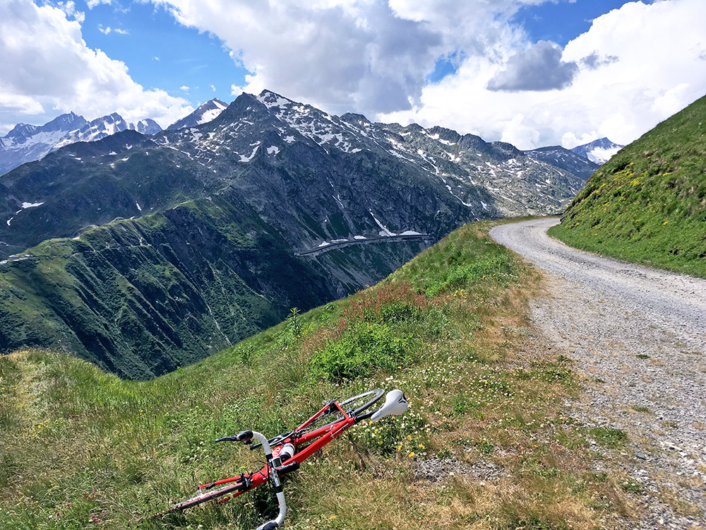
Here you see the gallery of the new road and the end of the Passo Scimfuss road which is unpaved the last 10-15m, but the pavement is seen starting in the curve here. It is also paved on the other side for some time before the road sort of goes into a grassy track (unless something happened since I was there last time years ago).
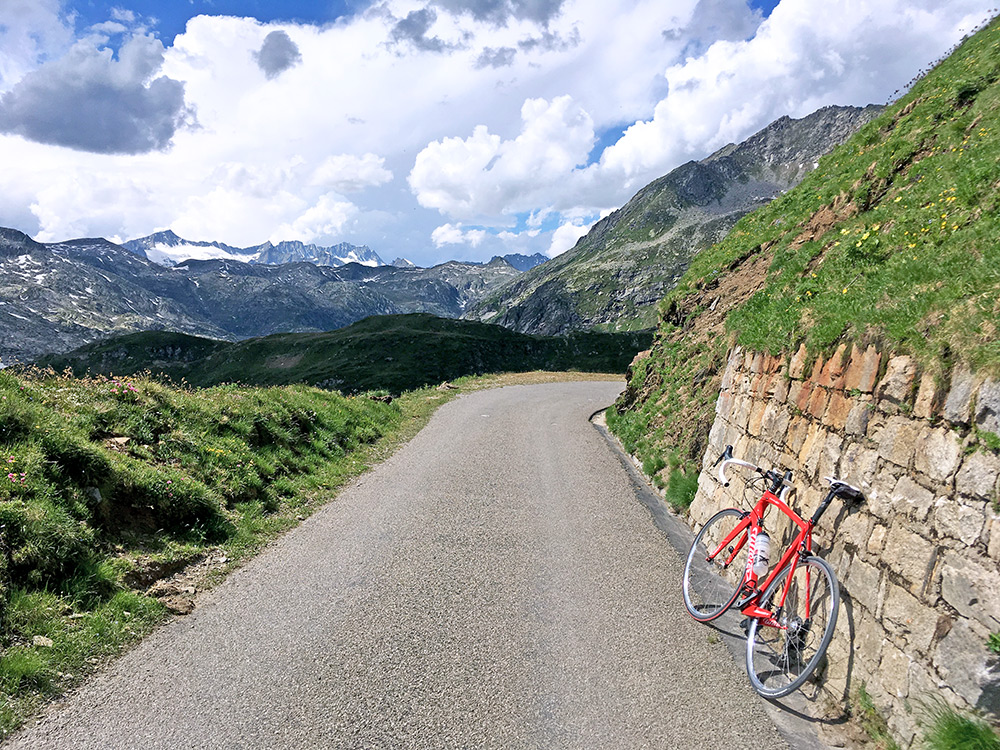
Here is a good view in the direction of the Gotthard pass just around the corner where the road is paved.
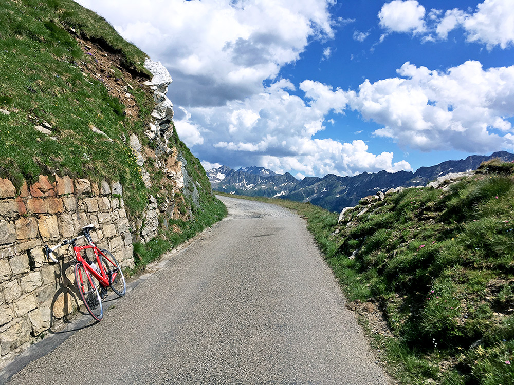
A last view back, before going back down.
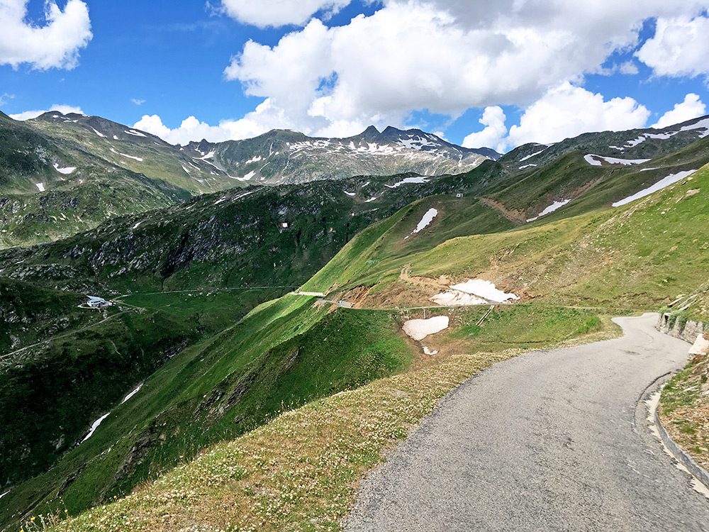
The road goes down a bit here before it goes up and then down again to get back on the road to the Gotthard pass. If you see the end of the valley road stretch here, then it is good to know that that stretch is not fully paved, but is only like 40-50m that is fully unpaved there and it is no big problem with a road bike, so let it not deter you from making this detour in fine weather on a Gotthard visit.
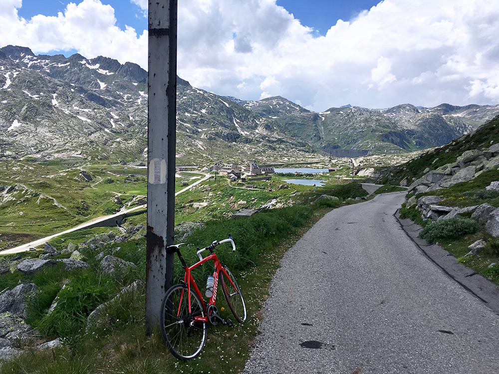
Here a nice alternative view over the Gotthard pass from the Lago della Sella (and Passo Scimfuss) road. Then it was a quick ride over the pass and down to Andermatt. After Andermatt I caught up with another cyclists waiting for red lights in the tunnels and he then passed me by and I hanged on down to Wassen, where I stopped for a coffee at one of the hotels as it started to rain. The rain soon ended again.
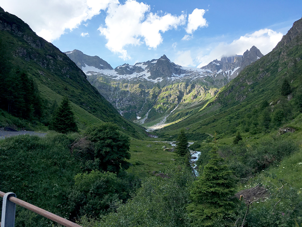
After waiting a little the sun came back and also two Dutch cyclists and we were all going up the Sustenpass. They lingered on and I started on my own. Just as I suspected it dried up on the way up and it was now perfect weather to climb up there. Here I am looking up the Chlialp (a dead-end side valley or glacier passes).
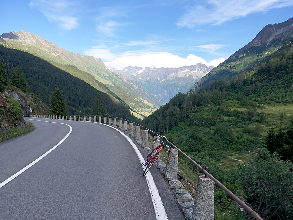
I had kept a good speed up and no sign thus far of the Dutch guys that I had suspected to catch up with me earlier on. Looking back down the valley. It is fairly regular gradients on the Sustenpass road up the east side, which opened first in 1947.
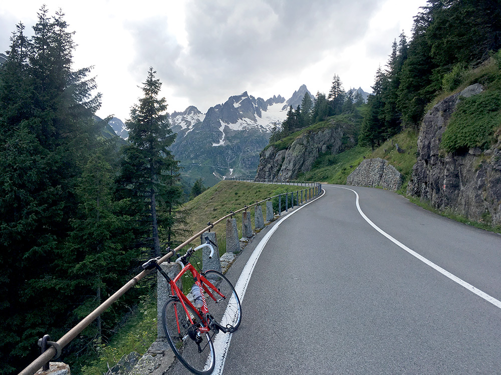
Stopping again for a photo up the Meiental, but the weather looks less nice now and I was slightly worried I would not get over before bad weather might come back.
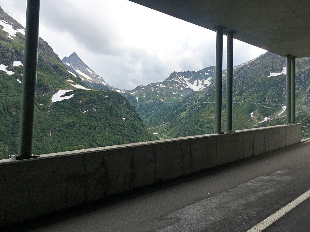
When I arrived at the galleries in the photo I first could see the actual pass. Still cloudy, but no imminent threat of worse weather.
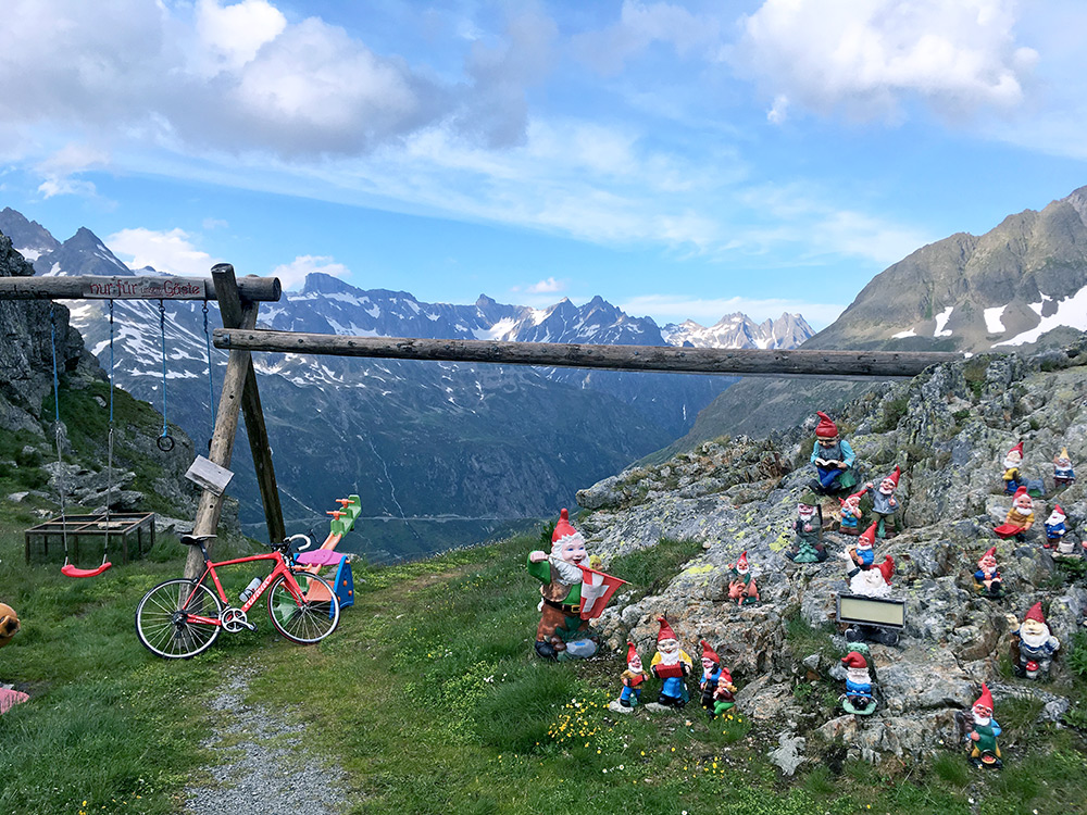
The weather actually improved again as I reached the pass and most of the clouds disappeared. I went through the Sustenpass tunnel (2224m), but then directly went up the road to the actual pass above, which one could also reach on the west side only on a paved road. The old track/road is sometimes used by mountain bikers even on the east side, I believe. When looking around up here at the so called Sustenpasshöhe (2260m) (just another name for the pass) I found the figures here, which made the view a bit more entertaining back east.
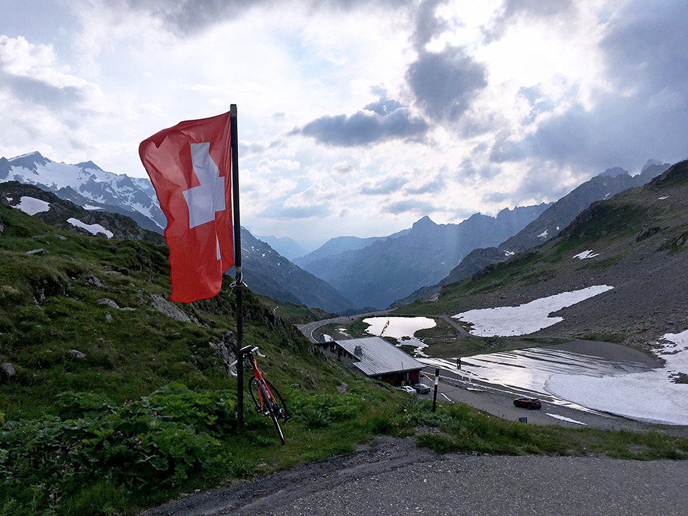
Looking ahead down west, the weather seemed mostly fine and as I was taking photos here the Dutch guys came up as well. I think one of them went ahead, while I spoke a little with the other guy on the way down and followed him until Gadmen, where I had hope to find some lodging, but it looked like no place was open (not sure if all was closed for good and the houses looked a bit rustic).
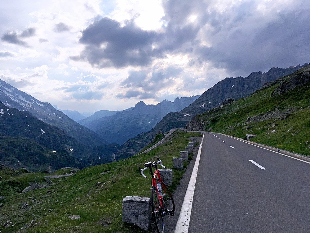
Another view down the valley after going down and passing by the guy taking longer time to get on his way.
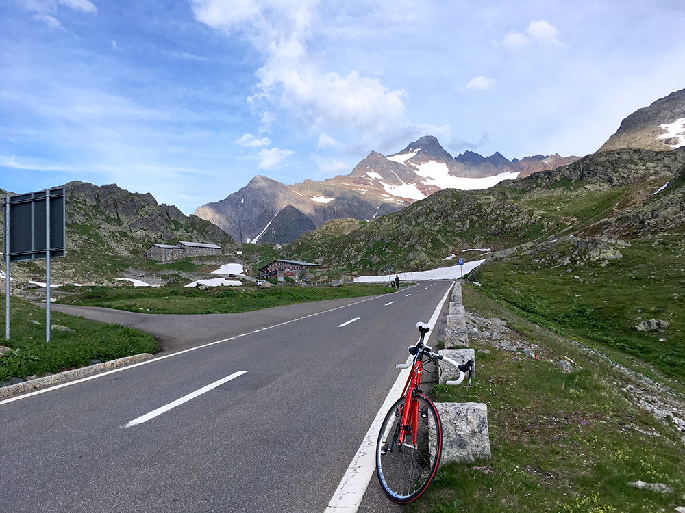
He is seen in the photo looking back here.
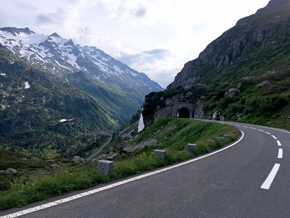
I stopped again at the tunnels for a last photo for the day and the last guy passed me by, but I caught up with him again. At Steingletscher just below I think a hotel was open, but it felt too early to stop at, esp. when the roads were dry and it was a nice downhill here. At Steingletscher there is also a side road that could be climbed up to 2094m (fr. 1863m), so another little road above 2000m that I had not thought of, but could have been nice to visit and if I go here again I will try to get there.
After Gadmen I thus just continued down toward Innertkirchen with the intention to stop at the first best place. I wanted to avoid the place in Innertkirchen I had stopped at before as I did not sleep so well there (tiny hot rooms, but decent prices). Later on the roads turned wet again unfortunately, so I also started to go down slower, but did not find anything and I was clearly not going up the Gental as I hoped to do so the next day. Just before reaching Innertkirchen I found the Landgasthof Tännler and got a room there. It was very good, but slightly expensive with dinner. (I could possibly have gotten a slightly cheaper room at one of the other hotels in Innertkirchen, but guess the prices would have been somewhat similar.) Small room, but very good, quiet and nice (not unlike the hotel I stayed at once in nearby Guttanen, where I slept best of all hotels I have been to).
