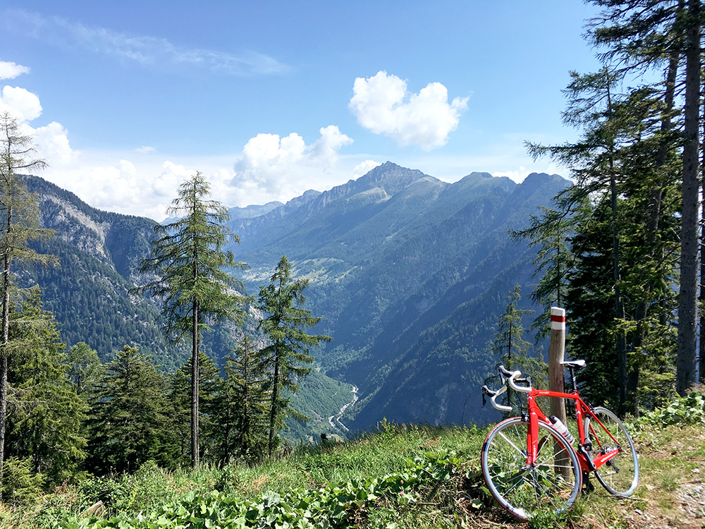
Another warm day. A small breakfast, so stopped for a coca-cola & yoghurt before starting the first climb nearby at San Vittore (278m) some way back toward Bellinzona. I had noticed a nice-looking somewhat tough climb from there to Prepiantó (1479m) with 9.9% for 12.18 km. Have a Facebook friend whose “home mountain” this is and contacted him about climbing it together, but it was difficult to get it to work with my schedule and he was preparing for a long climbing ride the next days.
This photo is from the top and it was indeed a tough ride there on a good road. Great views indeed.
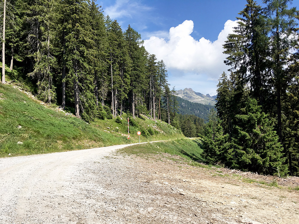
This is from a little after the end of asphalt and even if it looked nice, it did not seem to fun to continue on that gravel road now.
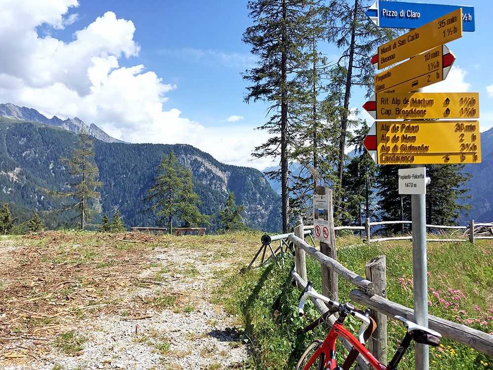
A photo of the sign saying Prepiantó–Folcetta 1470m.
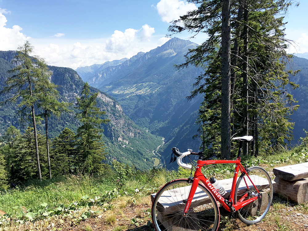
And another photo with similar views to the first one.
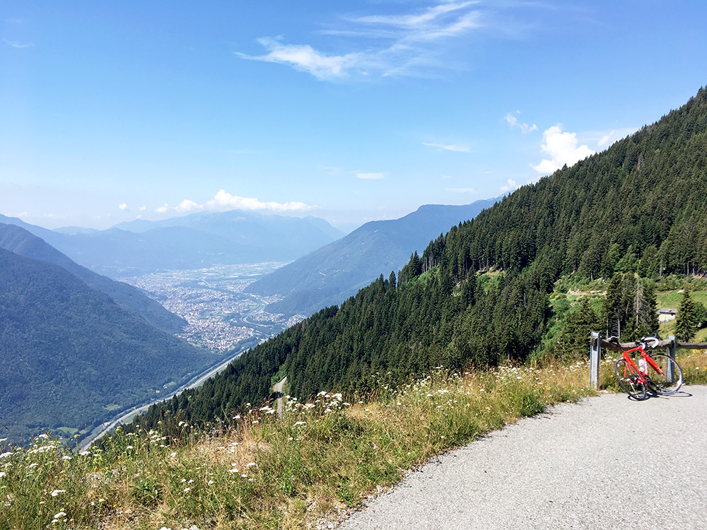
On the way back I stopped early on for the best view over the Bellinzona area below. You could almost glimpse the start of Lago Maggiore there in the distance.
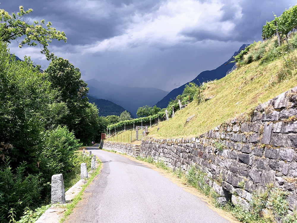
Then it was hot but flat up to Biasca (296m) where I stopped for coffee and ice cream. I noticed when leaving that the weather was not as good as before, but continued on my way toward the Passo del Lucomagno/Cuolm Lucmagn/Pass dil Lucmagn/Lukmanierpass. I turned off the main road on the first entrance to Malvaglia/Brugaio (358m) and found a steepish short-cut road (as planned). Just before turning around the mountain corner into Val Pontirone at Pontironetto (or close to) I took this photo showing the inevitable bad weather up the main valley I had turned off from. Coming around the corner I had some hope to avoid the bad weather.
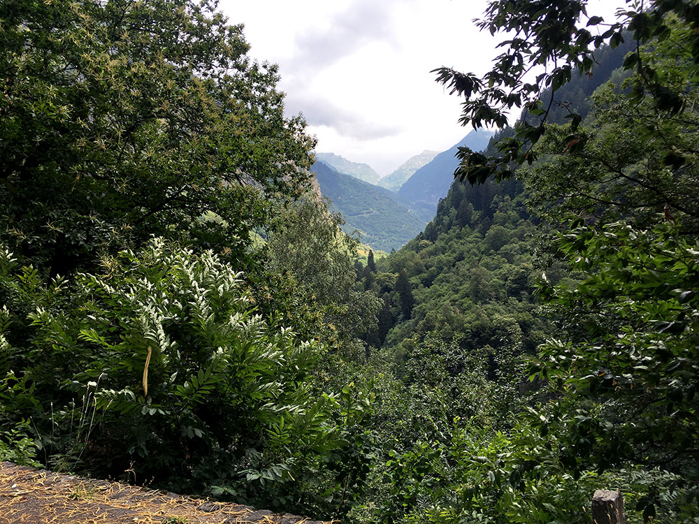
It seemed I could successfully avoid the bad weather, but was far from sure, but nowhere else to go now than up the valley. Here a nice view up Val Pontirone at the first glimpse thereof.
After a while it started to come a little rain and the road started to go down a little here and I tried to hurry on to get to some place I could take cover if it got worse. At Pontirone I stopped asking some girls if there was a bar or something nearby and the pointed to a Swiss flag from a house just ahead, which turned out to be the only place in the valley selling anything. It was raining somewhat much now and I quickly decided I could as well have some light lunch here and had a lasagne or other pasta and a soda. However, the rain stopped again rather quickly. I did not stay long and then never had anymore rain this day.
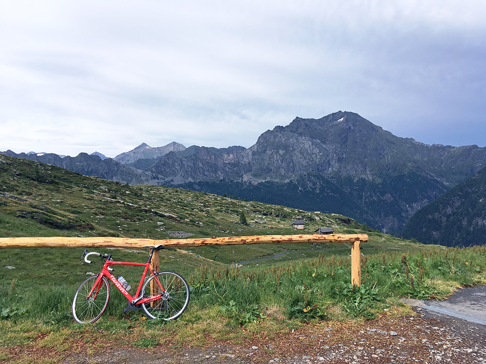
From there it starts to climb rather decisively. After reaching a high point at Fontana (1330m), the road quickly descends to the valley floor at Ponte di Giümela and Ponte di Cengio (1217m). Then the road becomes unpaved after some time and it was a stony road with some concrete, but just about possible to ride up and down on, so I fighted my way up hoping that the surface would soon return, but it is still like 2 km or so, but then the road is nicely paved, but with a lot of drainage gullies and also a bit steeper here and there.
Here I am finally at the very end of the road at Alpe di Cava (2005m) and the weather was still gloomy and the roads half wet.
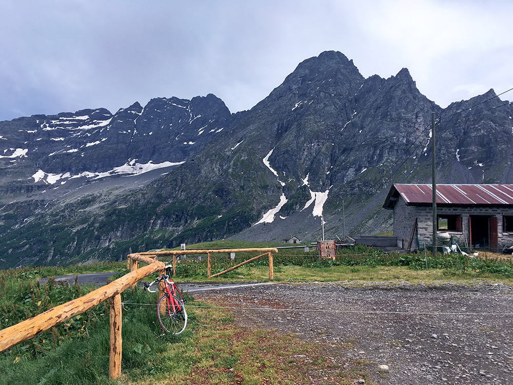
Had to take some photos here (had initially thoughts about walking up to a nearby pass here, but it had taking half day getting here already and the weather was no good and the pass seemed a bit further away than it looked on the map).
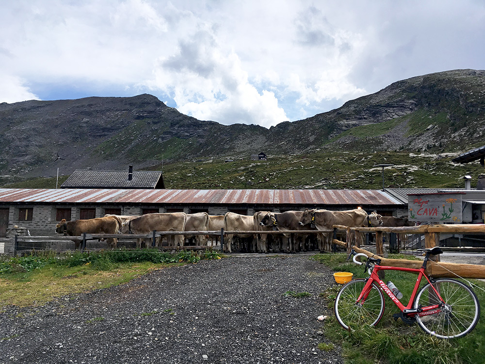
The farm itself and the sign (no good smell here).
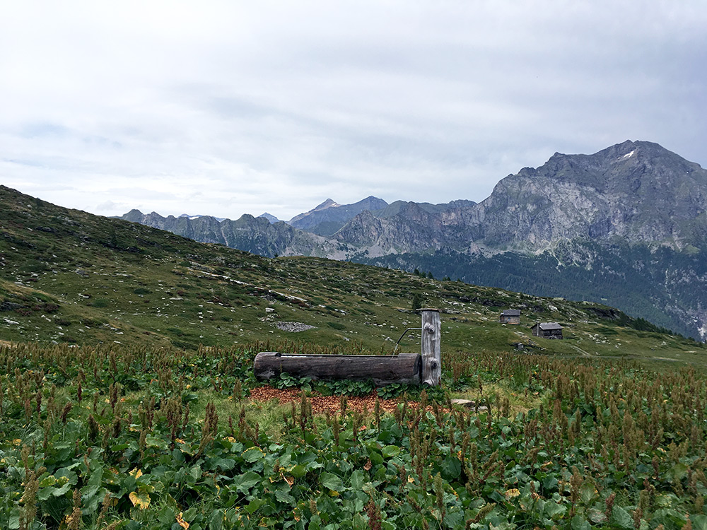
Another photo with similar views to the first, but again could not decide which one to keep, so.
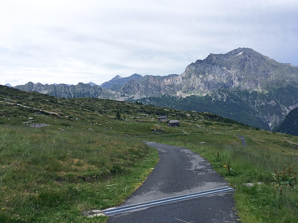
The last part of the road and there were some more houses along the way up here.
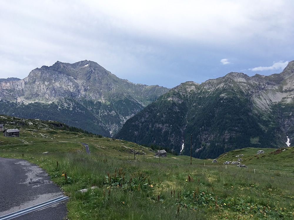
The weather still did not look too promising and I was still worried as it was no quick thing getting back to Biasca from here.
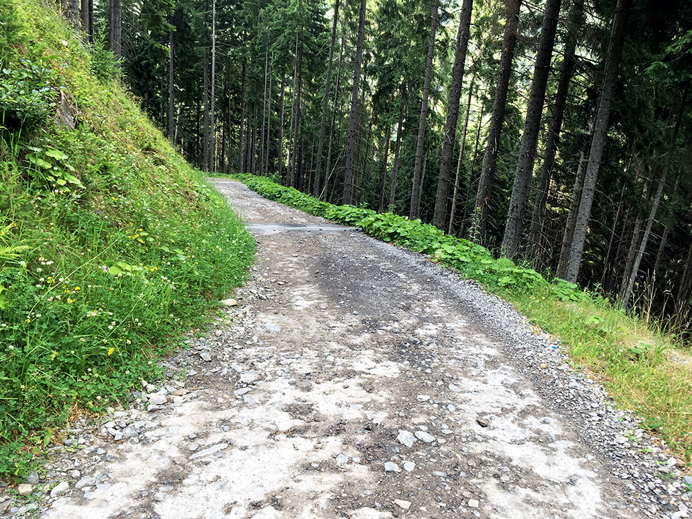
Here the unpaved road with some remnants of concrete, stones, drainage gullies, etc. I was lucky the tyres kept up with me, but I go very slow on pavement like this and try to avoid most obvious bad stones.
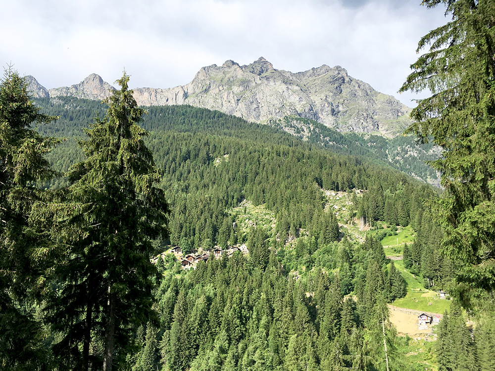
Then a glimpse over to Fontana and now there were sun arriving there.
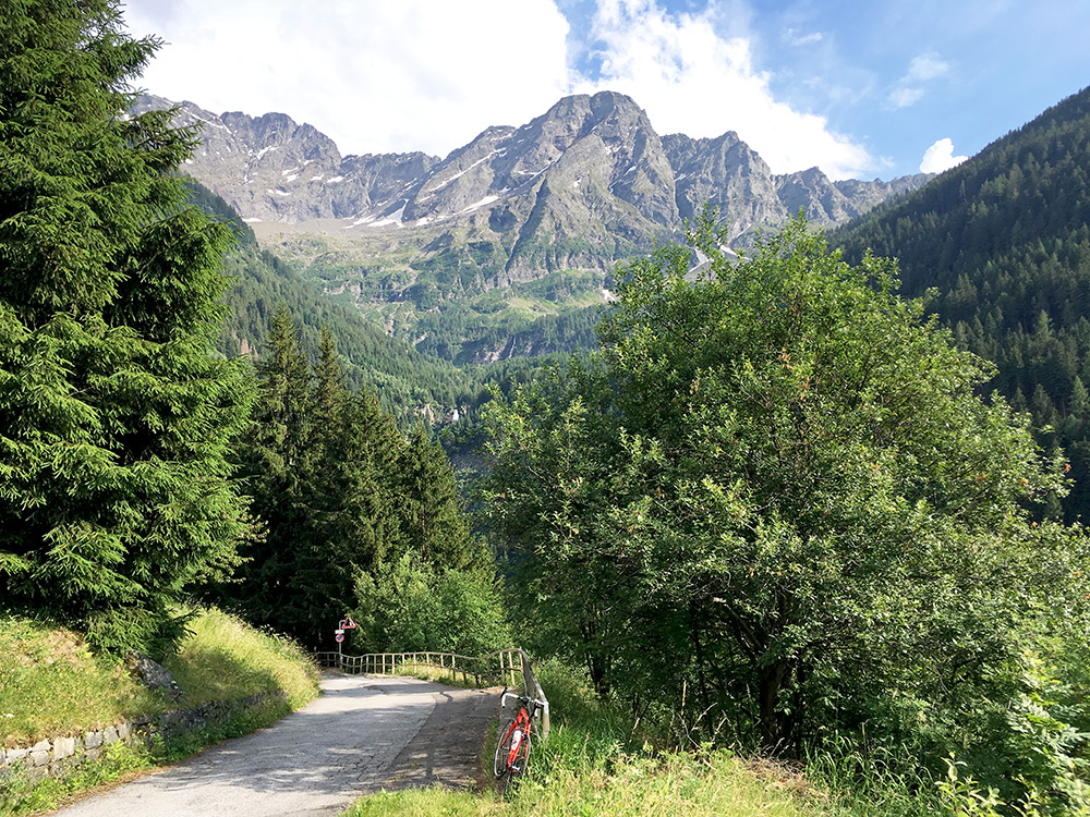
And a glimpse from Fontana at the end of the valley.
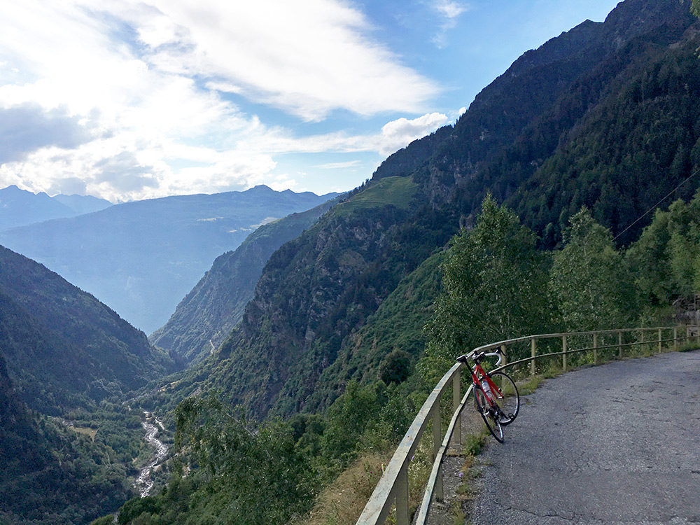
I had a decently good photo down the valley from the high point in Fontana which explained why the road went up that far on the valley-side, but this further down looked better, so enough with this. Here is the steep serpentine section down to Pontirone.
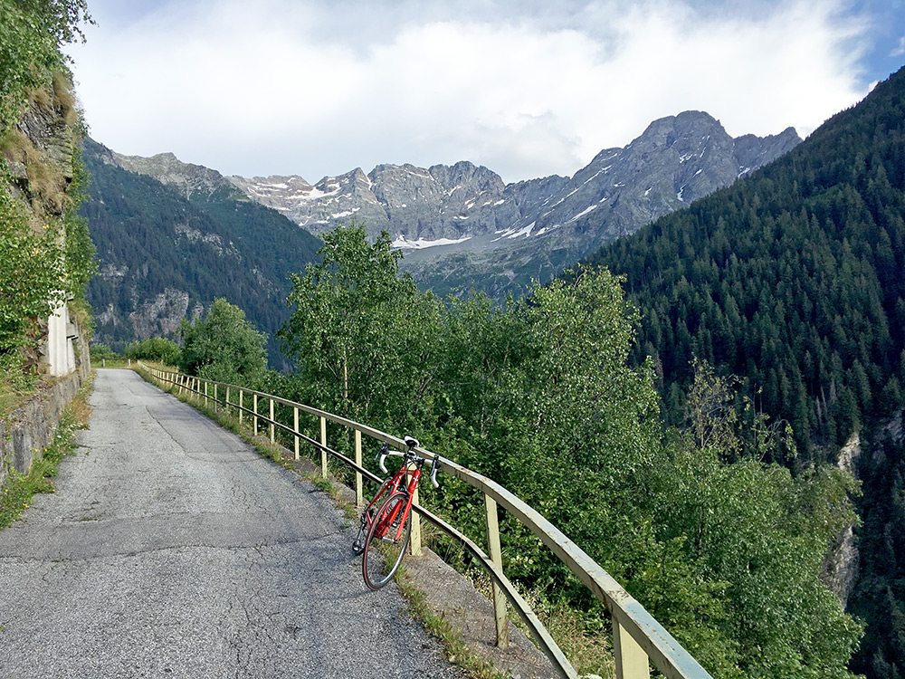
Finally a last view back again in Val Pontirone from where it started to rain when I went up. A great valley climb even if one goes no further than to Fontana!
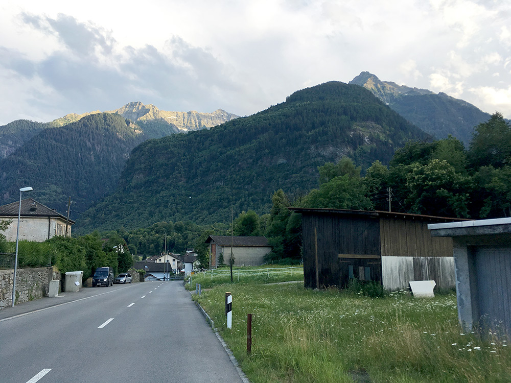
I went back to Biasca and started out on the main road up in Valle Leventina toward Passo del San Gottardo/St. Gotthardpass/Son Gottard. It is flat and wide and had very little traffic at this time (there is also a motorway up here). I think I stopped in Bodio by some café by the road side for a coffee and to think over how far I could go this evening, which it was now.
Upon leaving a man could not resist asking where I was from and it was a bit troublesome answering as I had just noticed that Sweden was playing football in the World Championships with the Swiss. The Swedes had just kicked the Swiss out of the tournament, but he forgave me ;-). I said I was on my way to Gribbio and he just noted that it was a long way up there. I took off the road as planned at Ponte di Sasso (a very minor turn-off where the road goes under the motorway at once and then climbs steeply up to meet a bigger road going to Chironico (792m) from where the photo here was taken. The little climb up here seemed a bit long, but I felt good here. Still I was ready to stop for the day as the clock was close to 20:00. There was a little hotel looking perfect, but it was closed on this day, so had to continue.
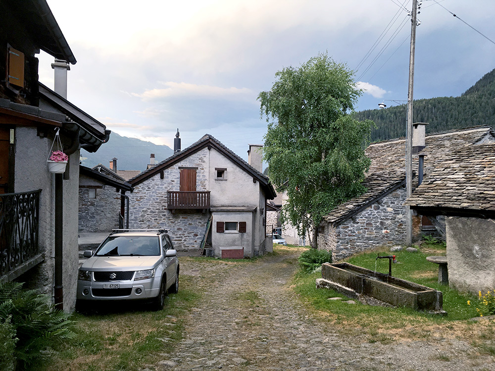
The road from Chironico to Gribbio is a great narrow road. Some steeper parts but a lot of it is more flat. I knew it would end steep up to Gribbio though and so it did. Just as I had understood the road through Gribbio was also cobblestoned, but I was not quite aware of how bad it was and how strange it would come across (like a back road to a house there). I walked a little and stopped at the water tap in central Gribbio to take this photo of the main road through the village … . Great surprise it was, and this section was short and then good asphalt again. There were no place to stay at here either, so just to continue.
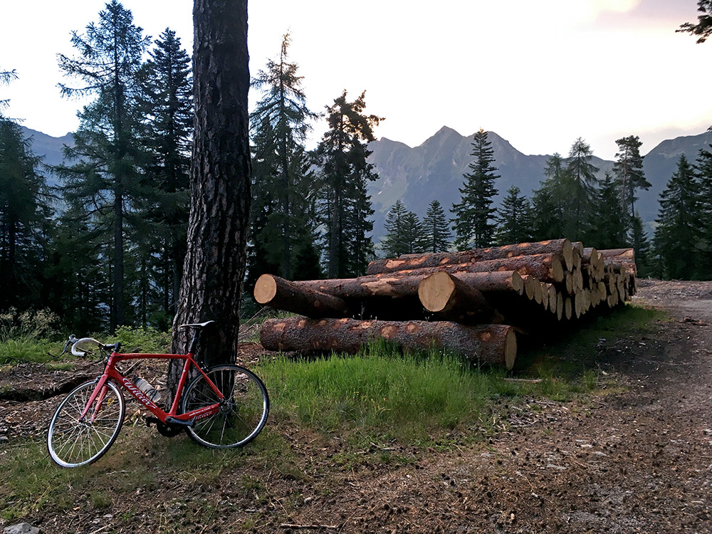
After a while I reached the pass at Motta di Gribbio (1431m) in the photo here and it was indeed nice to discover this very alternative way up the Valle Leventina.
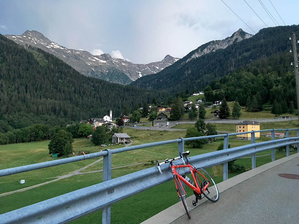
I then hurriedly rolled down to Dalpe while it was still not dark and asked the first people I saw if they knew about a place to stay at for the night and they pointed out a hotel right ahead and there I went. Hard to argue the prices when arriving this late up in the mountain and this hotel was a bit more modern type and not so cheap, but had only some ravioli to eat (best ravioli I have ever had though) and a beer. Had to eat more at breakfast instead. Photo from just before I entered the hotel just nearby. I was coming down from the woods to the church here (where I asked for the hotel). This was a great day and I think the hardest this Summer.
