The day started with a nice and good downhill ride to Trento via Valico della Fricca (1112m) and Vigolo Vattaro (725m) arguably a pass (without pass name yet again). But then came the very busy and hot SS12 in the main valley going north. Ideally one would go to San Michele All’Adige via one of two higher going roads, but that would also take a longer time. After San Michele, the SS12 is more reasonably trafficated and a bit sweeter.
At Salurn/Salorno one has just entered the German speaking parts of Alto Adige (you never now for sure whether German or Italian is most used in a village in Alto Adige, but outside Bolzano it is often a good idea to assume they talk German, though it could as well be Ladino of course (when getting up to the Dolomites). All German speaking people knows Italian, but it is clearly not the other way around. They both know as much/little of English in my experience.
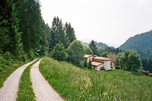
After a stop in hot Salurn/Salorno (224m), I went up toward Gfrill. One can see somewhat clearly where Gfrill is located from the start and it looks as it would be difficult to build a road up there. The climb is also very hard most of the way. Fortunately it was very wooded where the road is steepest – which is most of the way. At the last bend before getting up to Gfrill (you see the church here) I went in on the private road heading for the pass height. This road is asphalt until you reach the gate for a house there and here one could get over/under another gate and continue on the decent gravel road up toward the pass height. Now, you will come to crossroads higher up and it is not at all clear which road to take (you should go right at the first choice, which I did not do). I went far up the road that goes more to the left before realising that it was wrong and then walked up through the woods to meet the road that I would have come up on i I had taken right at the first choice of roads.. However, this road also does not really go down the other side of the pass, even though it reaches the pass. I had thought there should be a good walking path or track down the other side, but I could not find even any obvious path going down and after trying one path for a short while, I decided to return back the way I came (using the suggested gravel road).

Soon after Salurn/Salorno I went over the motorway up toward Bolzano and went up the hillside on the other side of the valley to Termeno/Tramin (276m), where I had a beer and a sandwich at a pub. This is a famous wine district. From here I went up to Söll (429m). It is not signposted for anything else, but there is a continuation up to Altenburg (629m) via a concrete road with 25% inclination. I just managed to get up here. Then I had a little rain shower at the top. (This place is really like a minor pass also.)
I took the highest going road to meet the Mendelstrasse at Kalterer Höhe (670m) (a small pass with a restaurant). I stopped again for an ice-cream and Coke. Then I went rather quickly up to the Mendelpass/Passo della Mendola (1363m) overtaking at least one other cyclist. I had thought this pass would be harder than it was on this side from my trip in 2000 when this was one of the first passes I went over and down this side.
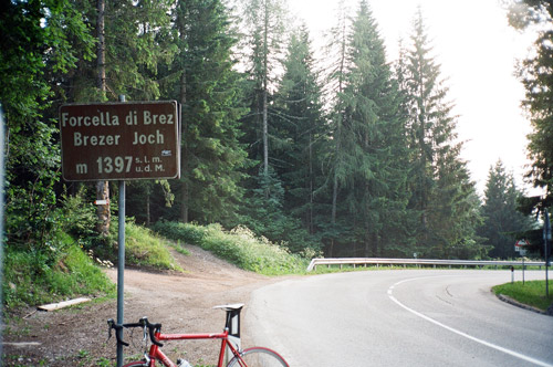
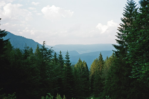
Something more to drink (a warm Gatorade, I seldom drink these types of “sport drinks”) near Fondo and I just escaped more rain which was in the vicinity. Then went down some in order to start to the climb up to Brezer Joch/Forcella di Brez (1397m). This pass is located in a German speaking zone, but the start of the pass on both sides is in Italian language areas. It is moderately nice and the last part was rather steep and clearly harder than the Mendelpass. I went a bit on the gravel road going south (which could take one to another pass eventually) to take the photo looking back over Castelfondo. It is actually a bit nicer on the other side around Laurein.

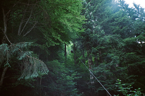
Further down I noticed an odd thing – a wire where a back of bottles went up along, but did not see anyone loading the back. This is what I was trying to capture in the last photo here (it got up a bit before I got my camera out). I guess they transport water up here to some houses.
Then I went up on the Hofmahdjoch/Passo Castrin (tunnel) (1706m) climb, but got second thoughts about trying to get over this late with long tunnels at the top and perhaps not getting any good photos. I decided to try and find a place to stay the night at in Proveis and I also wanted to visit a nearby pass there. Proveis looked inviting above. There are three places to stay at in Proveis, out of which one was closed and the main hotel was fully booked. I asked at the third place and a lady opened and was not clear on whether she had places or not and seemed like she was not really wanting to let me stay. I asked her to make up her mind and she let me stay and she was actually very nice. I also did not notice any other guests (maybe she was not interested in some work just because of a single guest). She actually made some very nice omelettes with a good homemade jam for dinner and talked a lot ;-).

I was trying to figure out whether there was any official mention of the Hofmahdjoch tunnel as being a pass. She had a book released by Rafeissen bank on the tunnel, and I spent half night reading it, but did not find a single mention of the tunnel as being a pass (even though it was implicit). Only official reference for it that I have found is on the Trentino website in a description of a bicycle tour. (The pass above the tunnel has been recognised for centuries though.) The book was rather interesting in giving descriptions of how the local names may have originated. The tunnel was built by EU money (opened in 1998) to connect the German speaking enclave of Proveis with the German speaking Ultental, so that people on both sides should not have to go over Brezer Joch and Gampenpass and it was rather controversial as the need of the tunnel affect so few people. The lady had a lot of guests during the time they built the tunnel, but now tourism in Proveis was not very lucrative.
