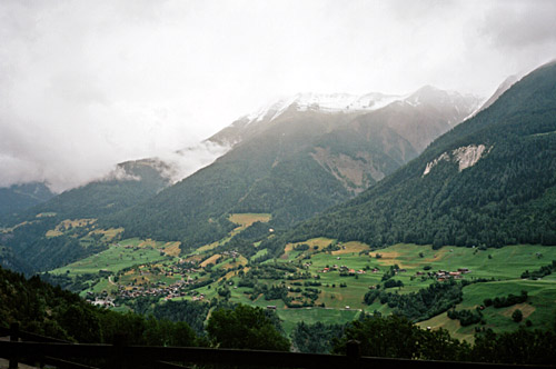
My cycle computer failed to show correct values for perhaps three days (of which this is the middle and perhaps least easy to calculate from maps), but this day looks like the shortest day of the tour in length and climbing. The lady at the hotel in Betten suggested it would not be a very good idea to get up to Bettmeralp this day as it would be all cloudy up there and that snow had fallen higher up, but apparently not in Bettmeralp. I sort of agreed with her, but since this was on my plan and I do not like to wait nor go back another time, I decided to go up and hope that the clouds would lift.
It was clear sight at Betten but it was directly obvious that I would not need to climb for long before the clouds would engulf me. I had discussed what alternative asphalt roads there was up to Bettmeralp the night before and even though the answers were not all too clear and certain, it is obvious that there are at least two different fully asphalted roads up to Bettmeralp, and there might be one more alternative asphalted road. The lady suggested I took the way over Goppisberg, which should be the best and least steep. But I thought the idea of continuing ahead on the road through Betten and then up seemed more interesting as I had not heard of it before. The third possible alternative would be via Martisberg (but no map suggests it could be possible). The road I took went up between Goppisberg and Martisberg, via Bodme. There are never any signs for anything, but the road is somewhat self-explanatory. It is quite obvious that the locals (or at least the tourism planners) are very keen on keeping the asphalted road access to Bettmeralp a well-kept secret as there is not even a hint of such a road on any signs, tourist information brochures or on any website (and even the locals seems to speak quietly of those roads). One obvious reason for this is that the roads are narrow and many locals use them and would probably like to keep them for themselves.
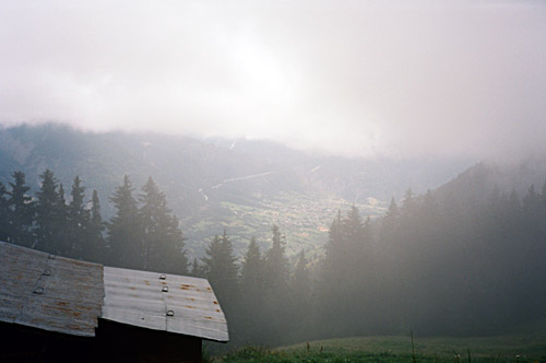
It turned out that the asphalt road up to Bettmeralp (at least via Betten) is in nearly perfect condition apart from a short stretch with older asphalt. It is actually not that steep as the lady suggested (seldom over 10%). On this fine road I managed to get my first flat (it always seems easier to get a flat on an asphalt road than on a gravel one, even if it is bad). There were a few raindrops in the air, but it is never a problem to climb up in such weather. I took my time making sure to fix the puncture properly. I am always irritated that I cannot get proper air pressure after a flat, but I found an open sports shop at Riederalp later that had a real pump. I did not feel like in a hurry and was consequently not at all tired when reaching Bettmeralp (1940m) (a climb that already started half-way up and interrupted by a flat).
Well up in the clouds at Bettmeralp, there were lines of people walking up and down the small road. I went up to a café and stopped for a coffee and cake. Some misunderstanding made them want to make me pay like 20 dollars for the coffee, which I promptly declined to accept. After some talk with the manager we sorted things out eventually. It is Switzerland, but 20 bucks for a cup of coffee, with one refill is perhaps a bit steep even there ;-). After leaving the café I noticed a sign for one of the passes up here that I had planned to visit and add to my pass list – Gopplerlücke (2050m). The approach from this side was a bit too rough though.
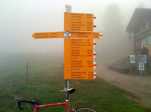
I continued toward Riederalp and found the approach from the other side which I guessed would be better. This is a short climb which might offer some nicer views in good weather. The climb starts at 1895m and is asphalted half the way up. The gravel was rideable even though it was a bit wet. Down again and up to nearby Riederalp and from there I went up to the well-known Riederfurka (2065m). This pass has ca. 2 km gravel road, where about half or more is rideable with a road bike. The last stretch is a steep concrete ramp to the pass. From the pass there are normally great views, but one may have to climb up here a bit on the other side to get a good view of the Aletschgletscher. Actually the clouds opened up ahead just as I reached the pass, but as I wanted to get to another point for a better photo, the clouds blocked the sight again and even though I waited for some time, they refused to open up again, hmm … .
Now, the question was if I should go back down via Goppisberg or try and get down one of the other possible roads more directly toward Naters and Brig? As I had not done anything really hard thus far today, I was still in “explorer mode”, so I decided to try one of the roads down to Oberried, which should be gravel I already knew. First someone suggested I go down at a golf course, but after coming to a very stony small gravel road, I met some walkers that said it turned worse and into a path further on, so I went back and down toward the low point between Bettmeralp and Riederalp. Here is another road that is asphalted at first, but it ends abruptly. I saw a gravel road taking off this road though. I went back up and asked a man working in some kind of art studio and he suggested te best way down to Oberried was the gravel road from this asphalt road. I even remembered the name of the road – Planierweg.
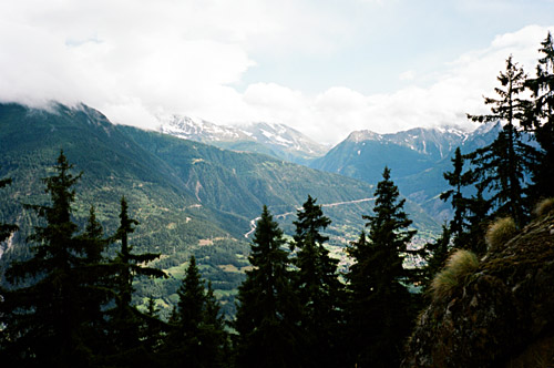
‘Planierweg’ was a funny name for this road, I thought – sounded like “planned road” and that was pretty accurate. It starts fine, but very soon it is totally uncyclable until it reaches down to another gravel road as it is like 25% on average and rough. But it was a short and quick walk down and the continuing gravel road was cyclable with some care and it is used regularly by locals with normal cars. After getting down through the forest, the asphalt road starts again at Nieschbord (Oberried) (1510m). From here a sweet twisty and somewhat steep and narrow road goes down through villages to Bitsch (692m) and Naters. I had some good views of the new Simplon pass road from just where the asphalt started again and where I was out of the clouds (one photo here).
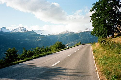
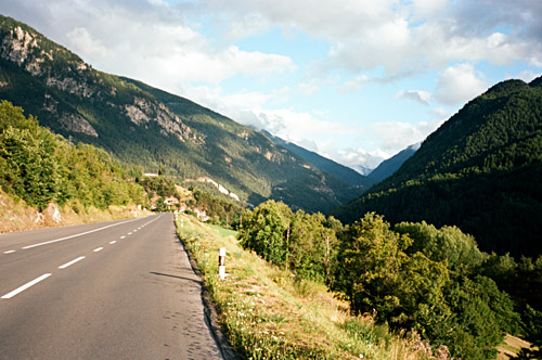
Now the weather was all fine again and I was heading to sunnier places. I stopped in Brig to buy a new inner tube, but too late as it was Saturday. I had to go carefully until Monday then. I stopped again at the McDonalds outside Brig (think I had been there before). Then I was going through the usually dreadful lower Valais/Wallis, but I was in a good spirit and it was not so hot as it could be here otherwise in the Summer. I even stopped along the road to take a photo, trying to show the road from its best side. Eventually I got down to Pfynwald and soon thereafter near Sierre (545m) I was to turn off up the mountainside again. This is the area just where the distinct language border between the German and French speaking Swiss goes. There were signs for cyclists, which I was stupid to look at and thus of course missed the road up the valley, but I realised before getting into Sierre that I had been fooled yet again by the devilish Swiss cycle road planners. I begin to learn to never trust Swiss cycling signs now!
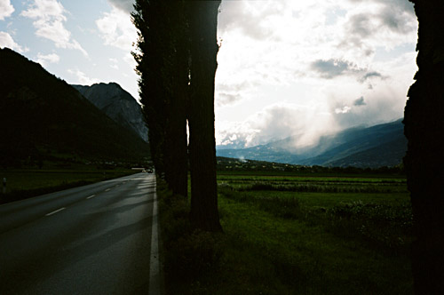
The road climbing up and into Val d’Annivers is quite nice and especially today with perfect temperatures. It was already getting late as I was moving really slow this day. I was sure I wanted to stay somewhere up the valley for sure anyway and I anyway wanted to do some more climbing before the day was over. I stopped for a few photos and when I arrived at Vissoie (1204m) it looked a bit gloomy, touristy and it was totally in the shadow as it was far down between the surrounding mountains, so I decided to continue up on the road toward Chandolin, where I was heading, but had no thought of going all the way there. I decided to find a place to stay at in St. Luc, but did not care to look at the map of how far up St. Luc was. It turned out to be a bit of a climb still up there. First I found a big hotel upon entering St. Luc and passed it by, but returned back to check the price. No personal at the hotel desk, but I was thinking quickly and fetched a local tourist information booklet and quickly found out about a cheaper hotel in St. Luc a bit higher up and went there.
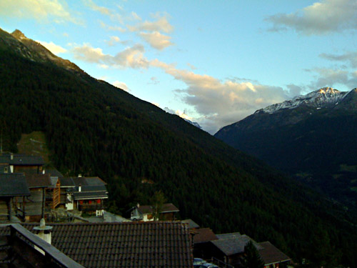
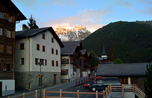
It was a smaller hotel with a pastry shop and restaurant. It was a very nice place with good food and great views from the restaurant of the highest peaks up the valley. I was sitting eating while looking at the sunlit +4000 metres peaks of Zinalrothorn and Dent Blanche (I think). It looks quite nice when only the highest peaks are sunlit while the dark has descended everywhere else. The photos I took does not quite convey this (only used the iPhone camera here also) and those photos were taken a bit earlier. The best photo was probably the one from the bathroom window.
