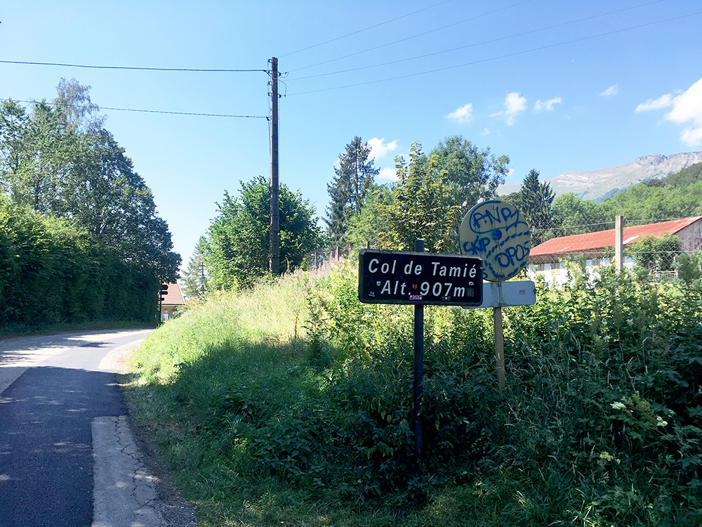
It was fine weather again in the morning. The hotel was not the most elegant one, but the breakfast was good. It was very easy to cycle down to Moûtiers and to Albertville (346m). Then it was hot again. I continued down to the turn-off (347m) for the first little climb for the day to Col de Tamié (908m) and hoped to find a café, patisserie or grocery to stop at before the climb, but found nothing and continued to the pass.
Here at the pass I had a little shade. I have been to this pass before (and the nearby one) coming up from the other side then). A car driver complaining on me on the way down, not sure who was wrong, but no incident at least.
I stopped in Faverges for a good sandwich and soda at a little café/sandwich take-away and they were very nice and friendly there.
After a very short ride on the main road from Albertville/Ugine to Annecy I came to the turn-off at Vesonne (480m) to Col de la Forclaz (de Montmin) (1150m), not a terribly long climb on paper and shorter than from the Annecy side. This is a classic pass I had not climbed before and it turned out to be pretty steep up from Vesonne to Montmin and then easy to the top.
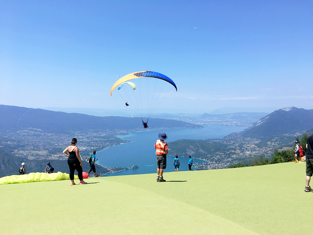
However, I noticed the paved road continued up from the pass and started out on it, first taking the wrong way, then seeing the bar across the road, but one could continue on the bike and so I did. It soon got very steep and so continued to a small parking from which an asphalted walking path climbed even steeper up to a place from where they were paragliding. I went off the bike part way up not to fall off and walked the few metres up here where the views were very good!
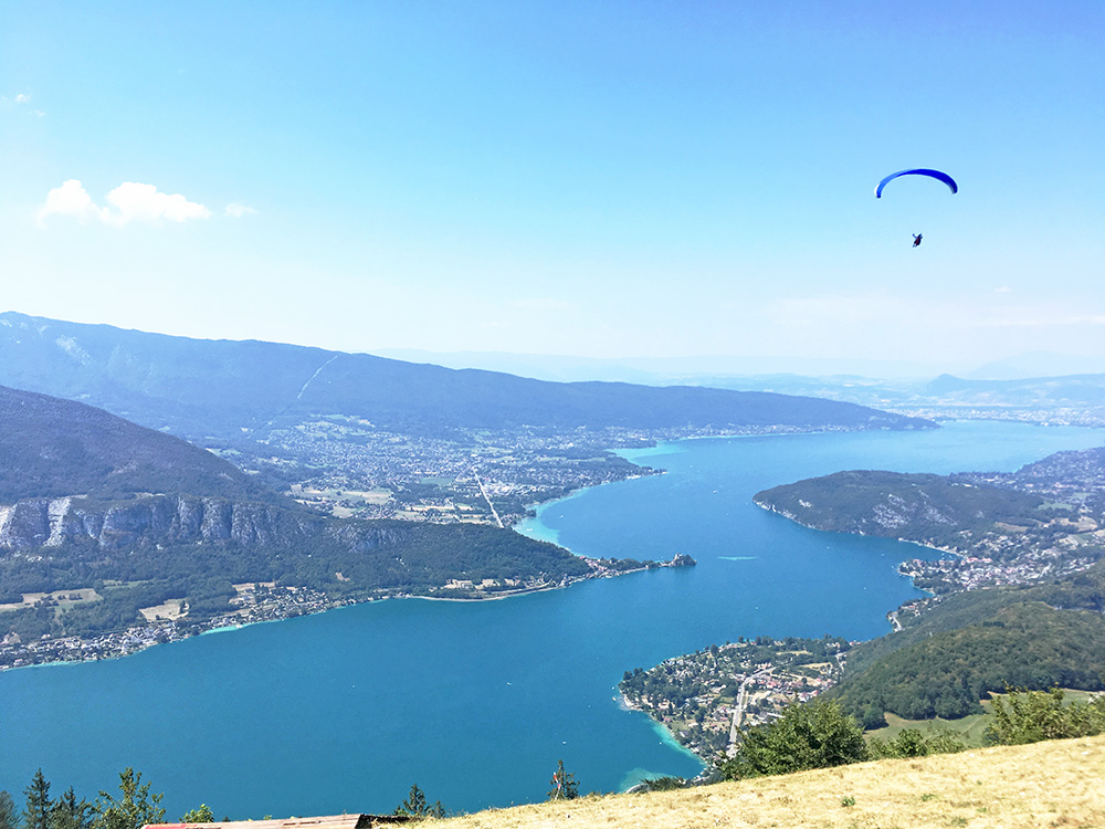
This is La Pricaz (1283m) with splendid views across the Lac d’Annecy.
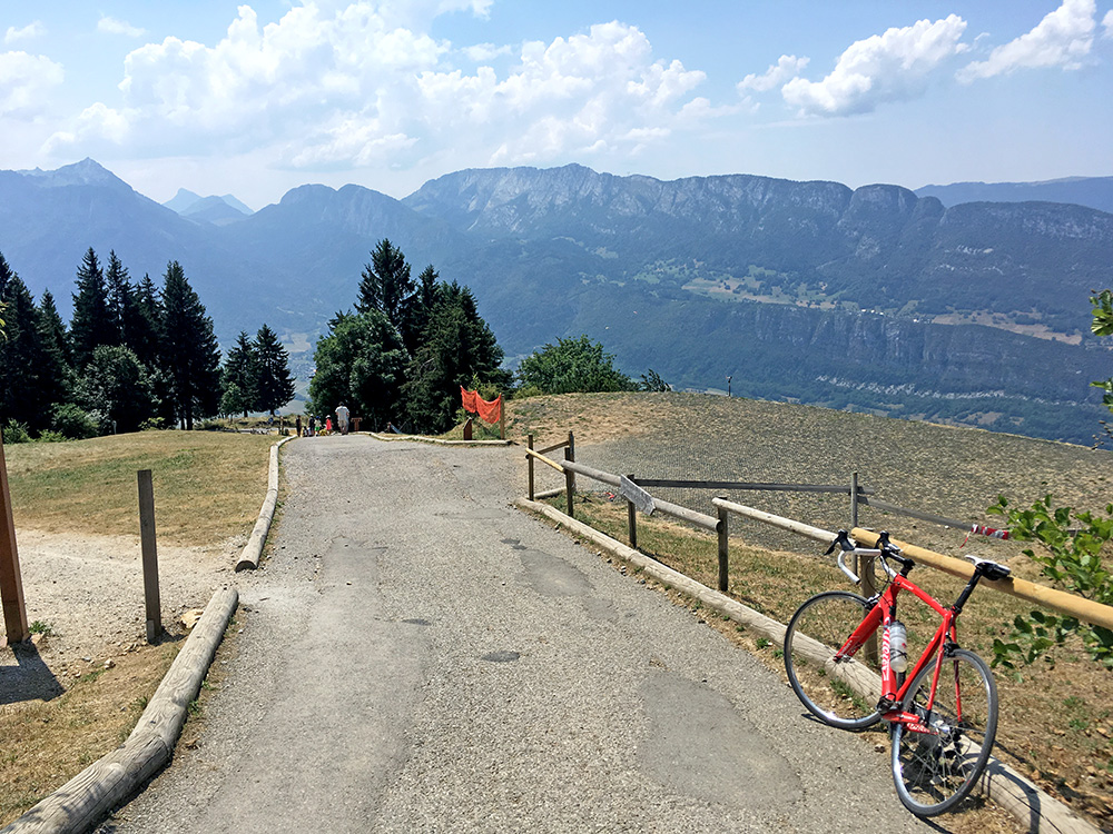
It was over 20% where you see some people walking ahead here. The climb up here had been very hot and the heat would follow me down to Annecy, but always easier to go down.
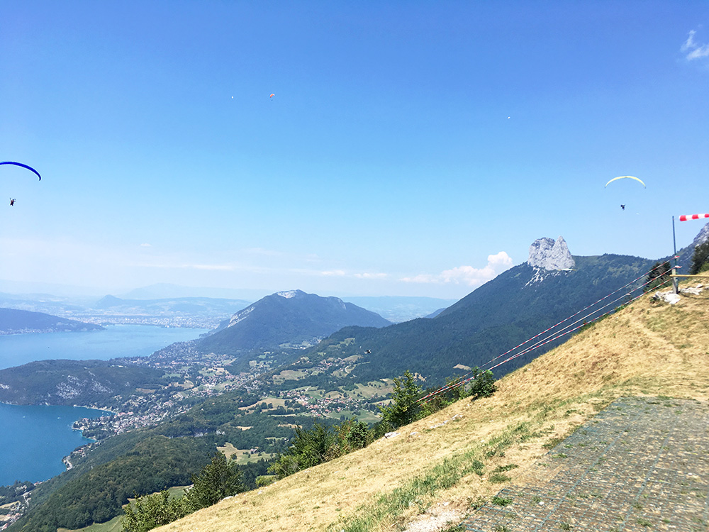
A last view here from La Pricaz in the direction of Annecy.
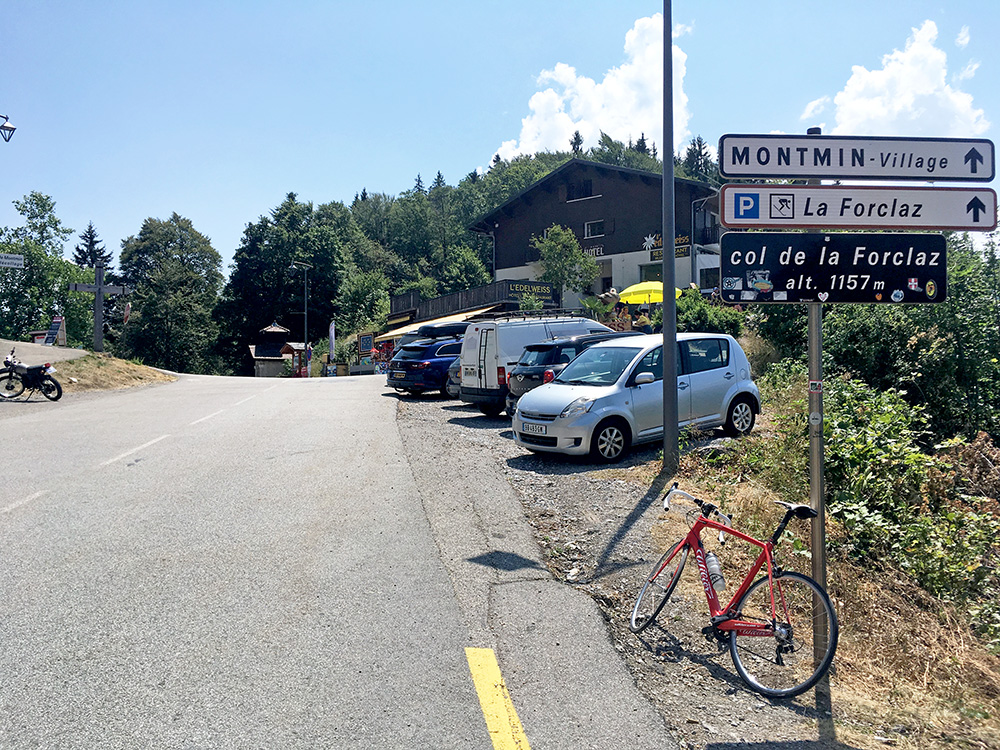
The pass itself really does not have any good views (which one might have thought it would), but here is the pass sign.
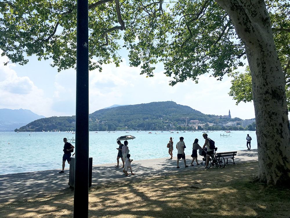
The road becomes a very busy road as one approaches Annecy. I managed to stop by a grocery just before coming into the village to get something to drink. I then followed the road along the lake in the centre and stopped briefly for this photo. I still needed something more to drink and at least some water. I went up on the other side to the start of the Crêt de Châtillon/Le Semnoz climb, but found nothing and then went down to village again on the other side and eventually found a grocery and more to drink. Then I was ready for the Crêt de Châtillon/Le Semnoz (1668m) which is a long climb from Annecy (454m).
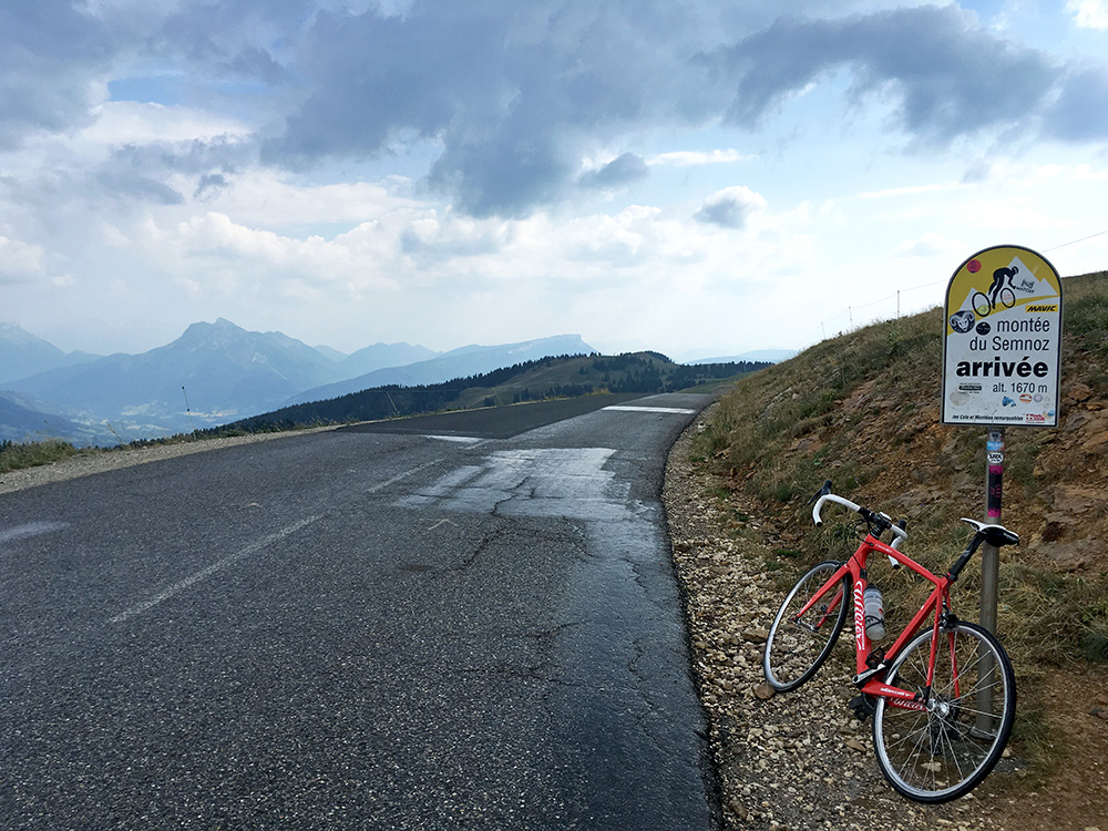
This is probably the most well-known climb of this height in all of the Alps that I had still not visited before, so it was high up on my to-do list now. It is wooded and a twisty road at first, but it is long and pretty boring, I must say. when I was half-way up it started to rain. I saw some cyclists who had taken cover for the rain under some trees, but I hoped to get to some better shelter and continued up. I never found any good shelter, but the rain also stopped again after some time, so I continued straight on up. Here I am at the high point.
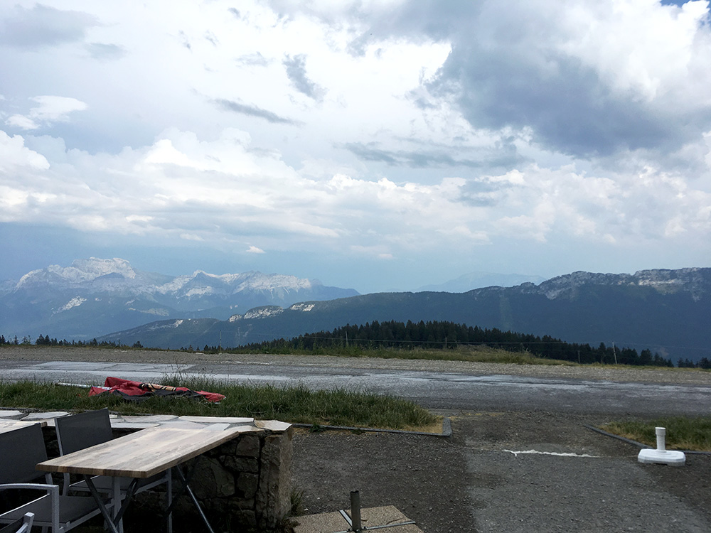
I continued ahead to two buildings and at least one restaurant, but learned that it was closed.
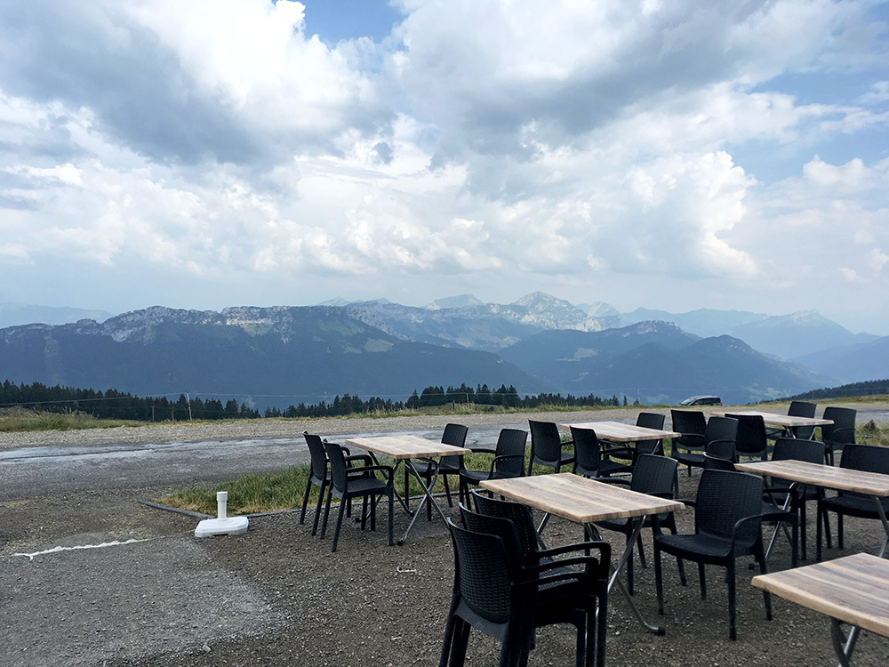
I stopped there for this photo and the one above before heading back to the restaurant just before the top which was open and had the impression of a central Alps high situated gasthaus which felt a bit odd here. Not so cheap place, but good.
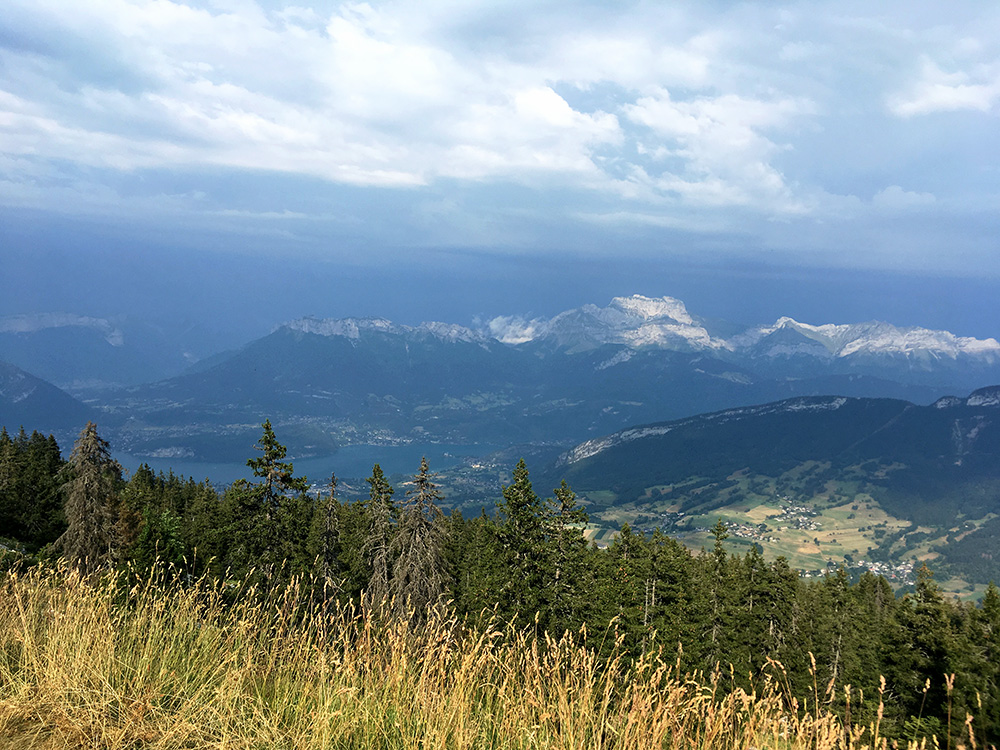
Another photo from a viewpoint shortly before the top. This is in the direction of the Mont Blanc area, but one cannot see much behind the first ridge because of the bad weather up there. I guess I was lucky after all being where I was. I also had no more rain now.
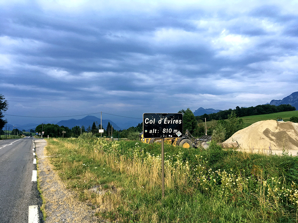
Down to Annecy again and now I just wanted to get out of the busy hopeless place (nice by the sea, but not a good place for cycling otherwise). It was a long but fairly straight way out of Annecy to the north and then northeast. I took the main road all the way, shortly one were supposed to use some bad bike lanes, but only had one car getting irritated when there was like 15m left of a bike lane to use anywhere. This road is fairly busy all the way to La Roche-sur-Foron, but it gets easier the closer one gets to the little pass Col d’Évires (802m) in the photo here (it looks like bad weather ahead, but the photo was impossible to get right). Despite only a few hundred metres of climbing from Annecy it felt like a long climb because it was up basically all the way and I was getting tired in the evening and tried to get away from the traffic maybe.
Now it was evening and suddenly it was all lovely to cycle on again as the heat had gone. I took the main road down to La Roche-sur Foron (518m) as it was quickest down even if longer and once down I could turn off on the straight D903 and escape lorries and most traffic. This was actually a nice road reminding me of cycling in rural England. It goes down to a bridge at 435m and then I managed to get over on the road to Fillinges (541m). Once there I had hope to find lodging, but there was none there as some locals informed me and told me the next would be in Boëge, but that it was long there and uphill.
Well, that was the direction for me, so I just kept going at a good speed up there, but found nothing there, so a little confused I continued while trying to figure out something from my maps. I continued but it started to get dark now. Not so far up in Villard (796m) I eventually found a place and got a room for the night and also dinner. It was not very good, nor very cheap, but it was well located on my way and everything was fine. Good results for the day despite the heat.
