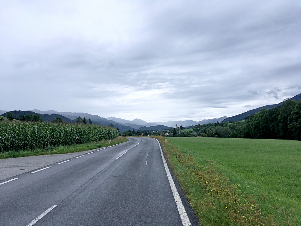
The day started fine, but cloudy. We started together, but I went on my own route at once to join the others in the evening again. At Mitterdorf im Mürztal a little below Langenwang, I started on the first climb for the day up to the Pretalsattel (1068m). Some way up the Veitschtal one takes off up another valley and then it starts to get steep and also quite nice. Unfortunately the rain started on my way up and at the top it rained a lot and I tried to hurry down a bit in the hope the rain would stop, but there was some rain off and on the whole way to Turnau. In the photo here I had eventually gone down the steep road slowly to keep relatively dry and right here there were no rain.
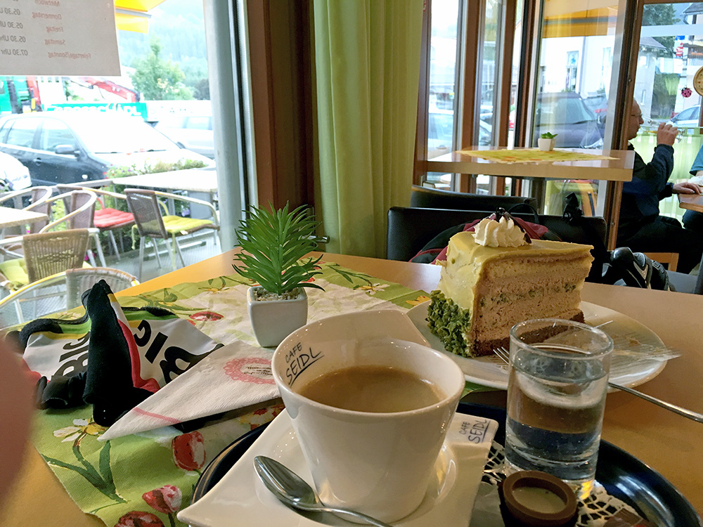
I stopped in Turnau (755m) by a café in the centre to see where the weather was going and to decide if I really wanted to make the tour and retour ride to Seebergsattel or not. Had an interesting cake there with some greenish cover (Hochschwabtarte). The rain started when I came there, but it quite soon stopped again. Very gloomy weather, but I eventually decided as it was not raining to continue up to the nearby Seebergsattel (1246m) to the north.
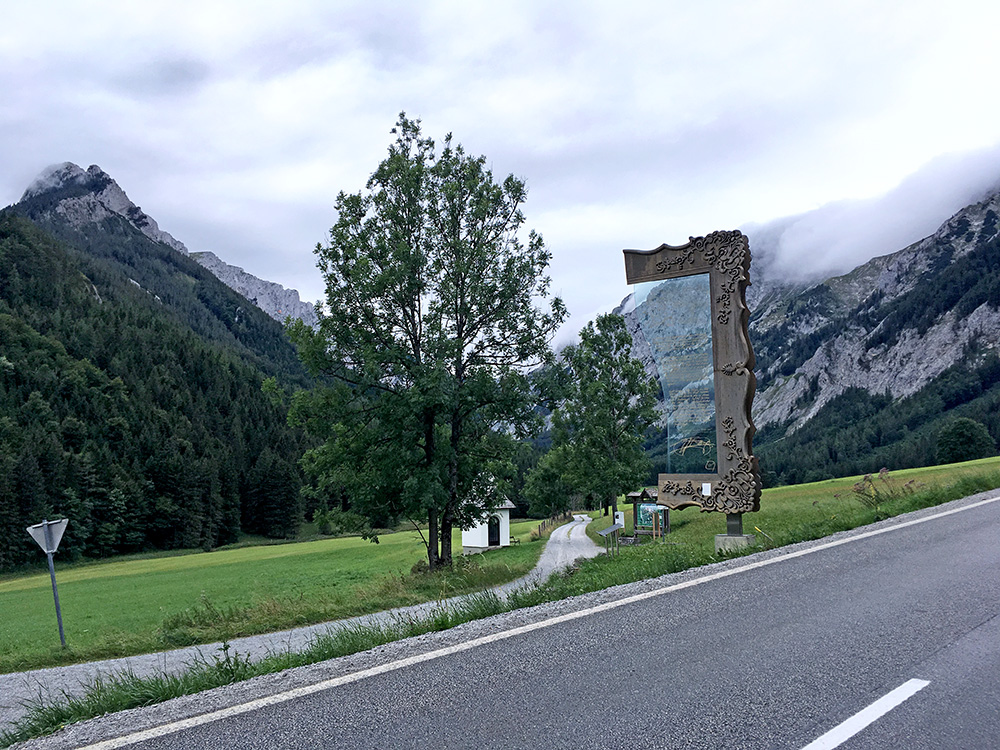
Seebergsattel is one of few paved passes above 1200m in the area, so it felt good to have done it too. Here I stopped on the way up for a photo up a side valley before a couple of serpentines to the pass.
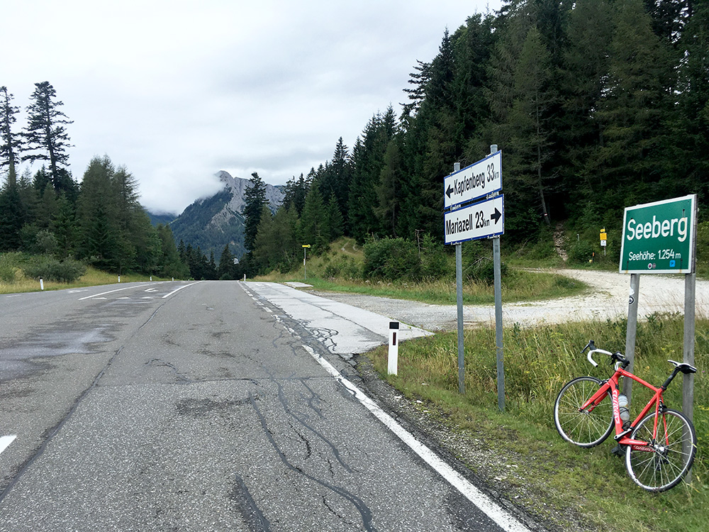
Looking back here from the Seebergsattel. It was slightly chilly and not any really good views up here (the best views was in the first photo on the way up).
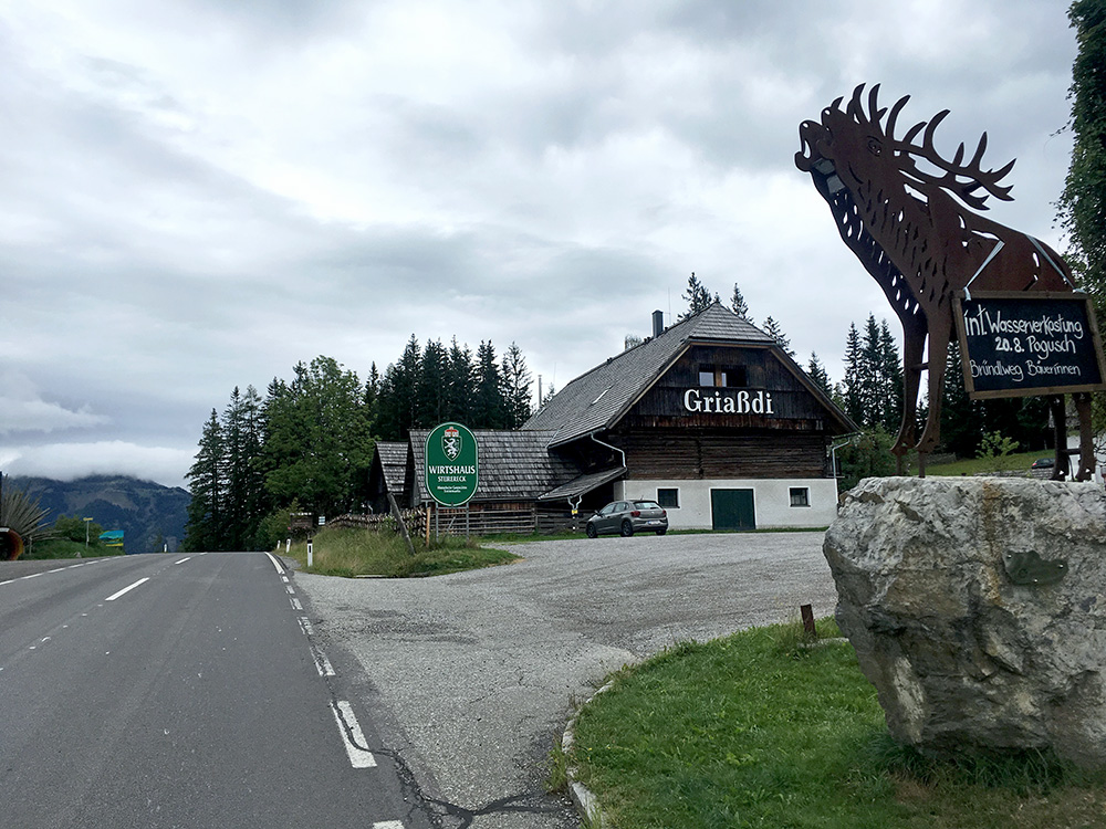
Then back down the same way (with some raindrops) to Turnau and up the next little pass to the south – Am Pogusch (1056m) here in the photo. A little steep, but not so long. Then quickly down the other side to Sankt Lorenzen im Mürztal and to Blumental (562m) which is the same valley I started the day in. Here I got some work related calls that made me loose some time, but eventually I got going again and the weather improved a little.
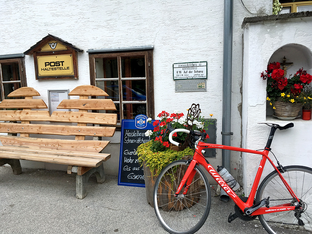
Here I am up at Schanzsattel/Auf der Schanz (1171m), but I had forgotten the road continues to climb after the pass to 1248m.
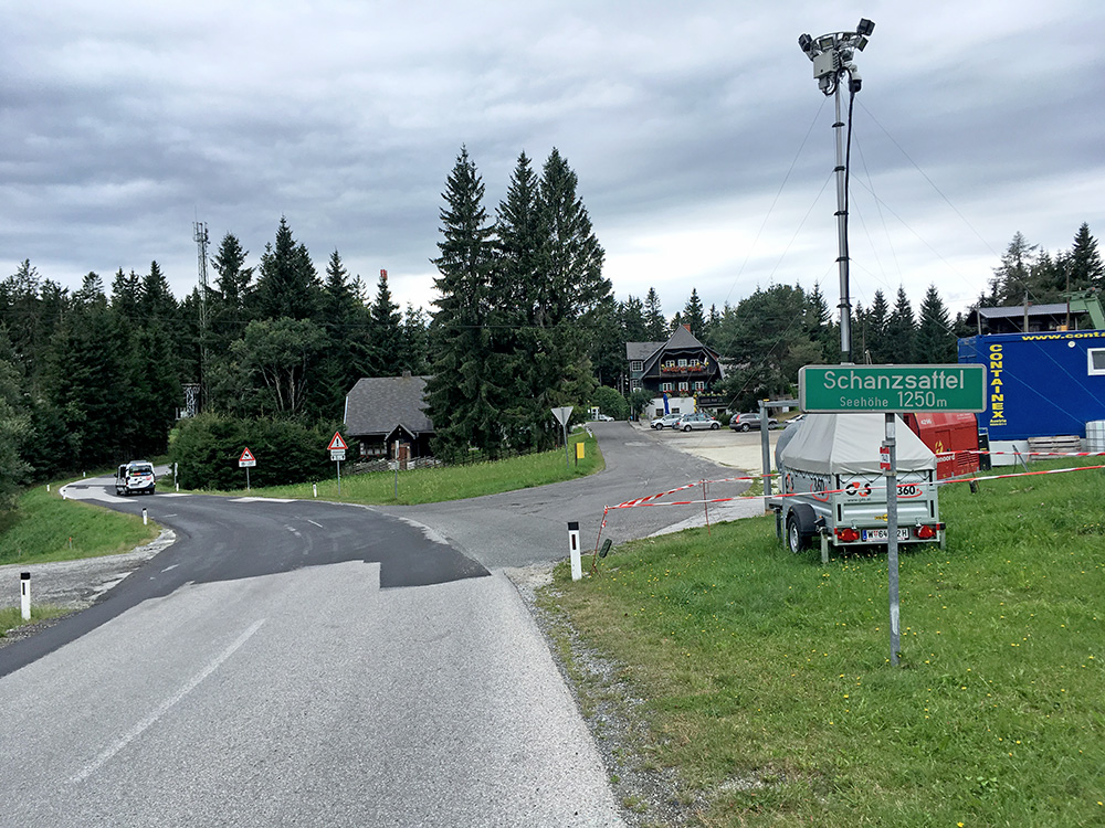
The road sign after taking the short-cut road via the restaurant (but never went in there). The road sign talks about the road height (and not the height of the place).
On the nice way down to Birkfeld (561m) I was up to 77 km/h and seldom goes quicker these days (has to be good asphalt and a fairly straight or big road to go much faster and have never been above 91 km/h (on Kühtai in 2003), even if one could easily go faster on east side of Kühtai and east side of the Fedaia pass, but I am usually too worried about taking chances.
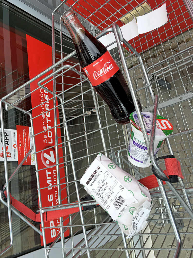
Stopping in Birkfeld for a last something to eat before ending the day as seen in the photo here it is my very much standard shopping (cheese+salami sandwich; coca-cola and yoghurt). However as I cycled up to the centre of the village I saw a café and could not resist having a quick coffee too (and a biscuit).
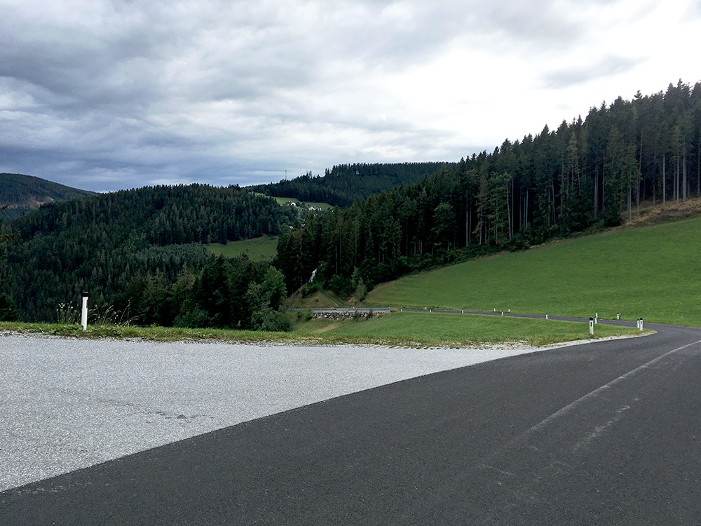
Then I was finally on my way again and it looked gloomy again, but I had no more rain after maybe some rain on this little descent out of Birkfeld.
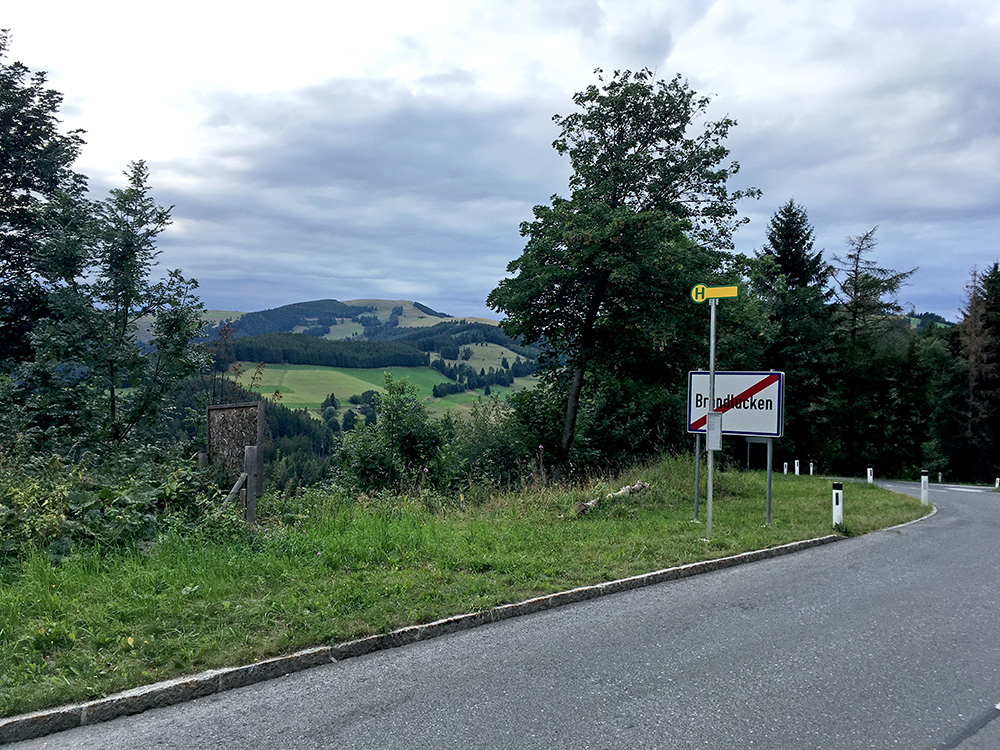
Then I was about to climb the highest paved road in this eastern part of Austria. There are several actual passes along this long route that I took, but none has a proper pass name (for all I know), while some of them are recognised as passes for sure. After a minor, but not insignificant pass – Offner Kreuz (1006m) and a short downhill, I came to another pass and village – Brandlucken (1131m), here in the photo. Here it was warm and sunnier than it looks, but this gradually changed to more gloomy and colder weather as I moved on.
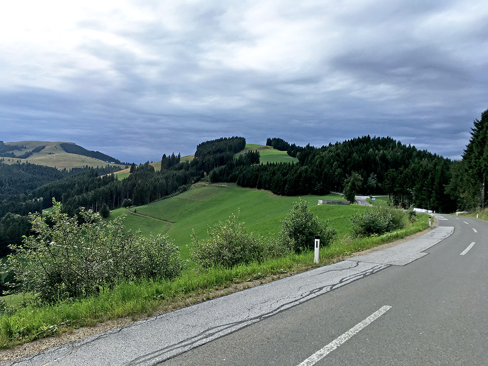
This is close to the Bucklige Lärche (1265m) pass and one can see the hills I am still going up here.
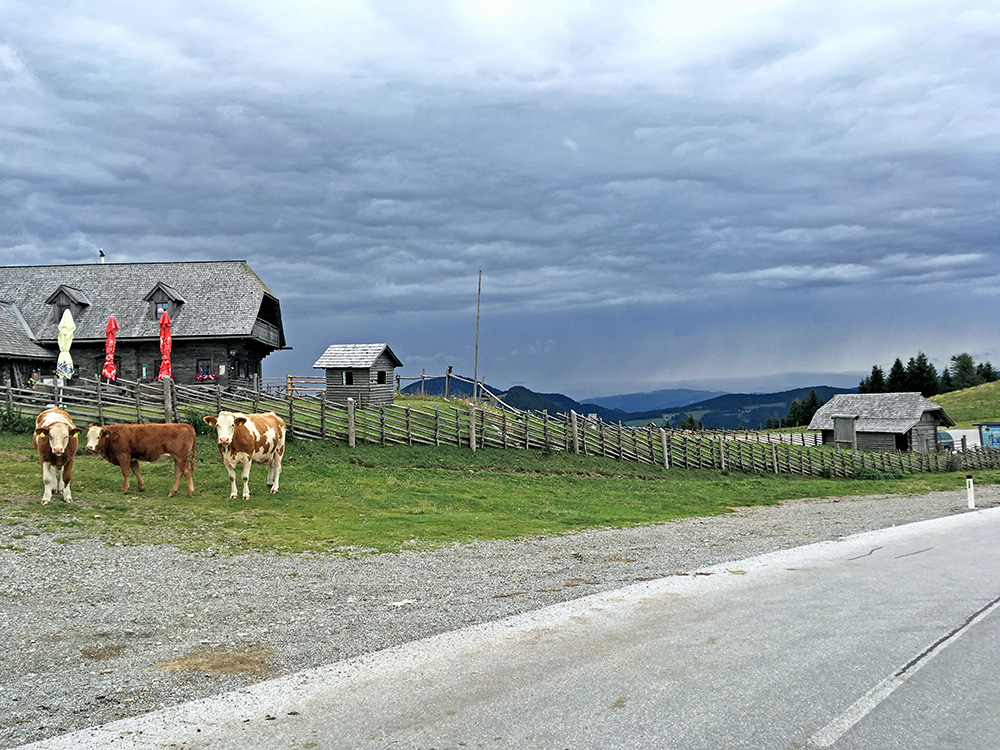
Now I am close to the high point of the road at Stoakogelhütte (1368m) (also a walking pass). The road was slightly less good shortly around here, but otherwise it was very good throughout.
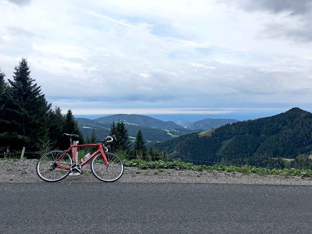
Finally I reached the top of what I call the Sommeralm Passhöhe (1435m), but there is no pass at the actual high point here. Still warm, but then there was a cold long descent and it was getting late now so the temperature was falling now also for that reason.
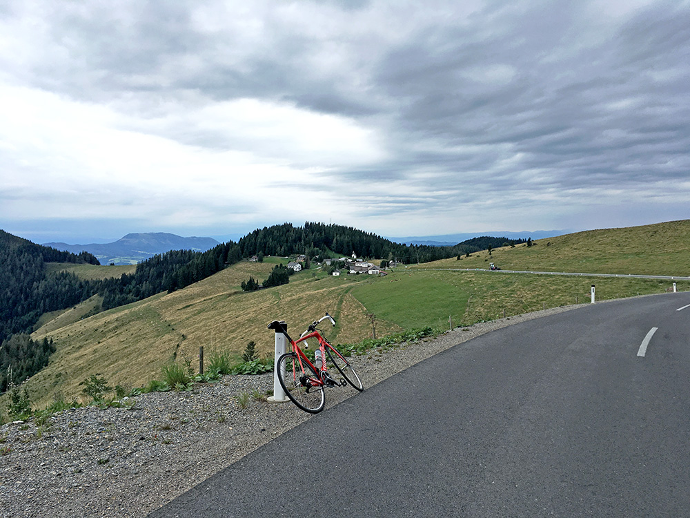
Here looking at the pass and the small village of Sommeralm.
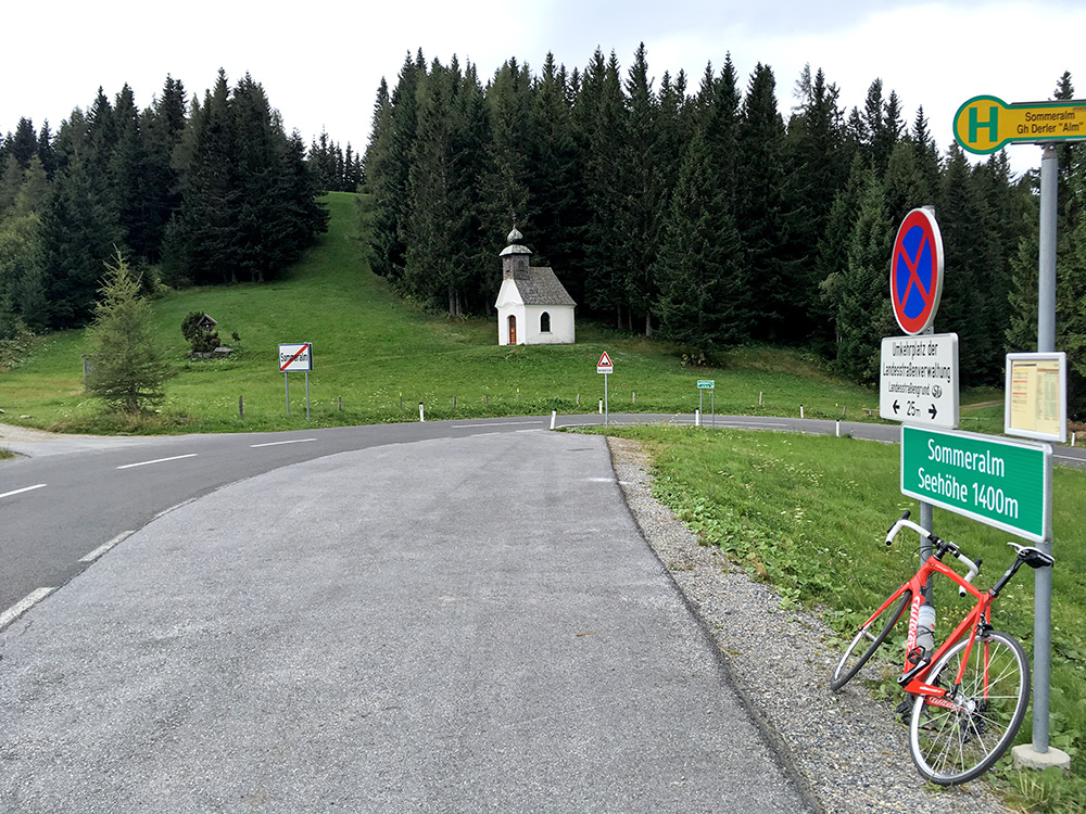
Here we got some kind of pass sign. It was from here it got cold, but eventually I got warmer again.
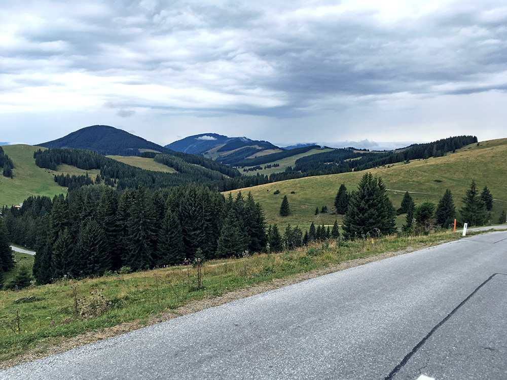
This is the view down to Teichalm (1169m) (also noted as a pass itself near the the junction with the road that goes down south).
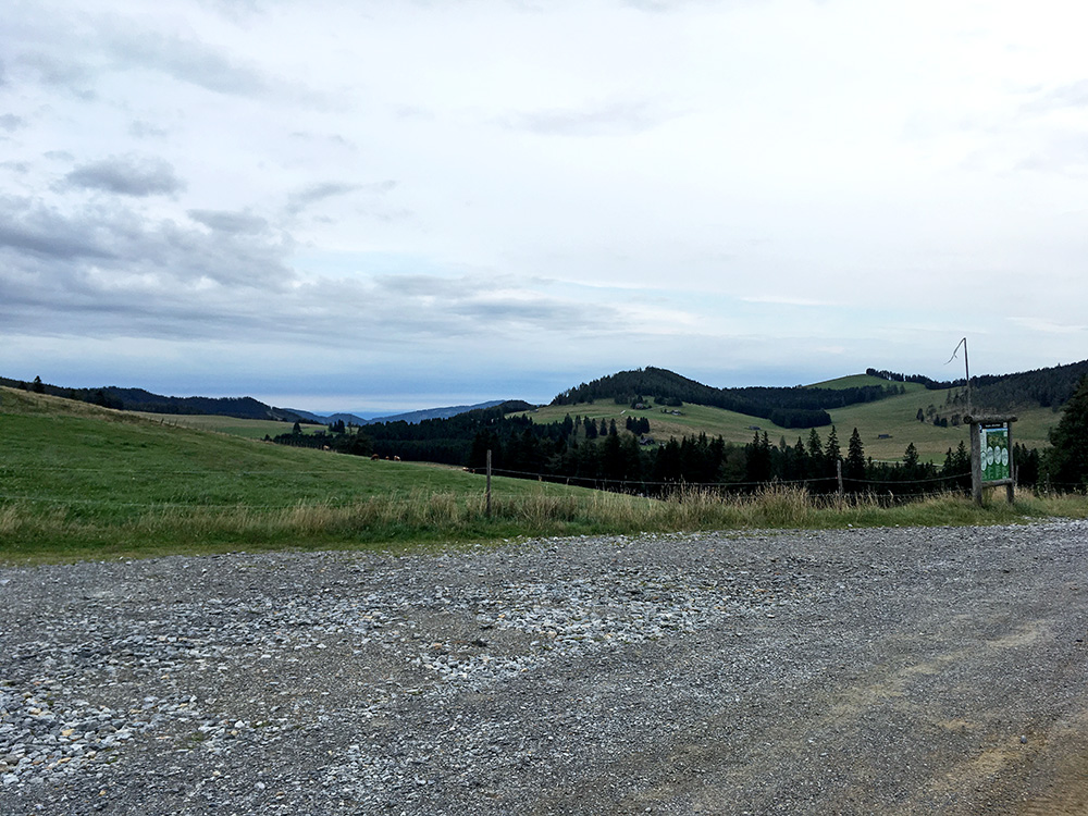
I did however continue via Teichalm lake and resort up to another pass sometimes referred to as Teichalm, but it is not the name, but rather Brotalmkreuz/Breitalm (1242m) – it is the pass that takes you to Teichalm from the north on a fairly steep and nice little road. I am looking back over Teichalm at this pass here.
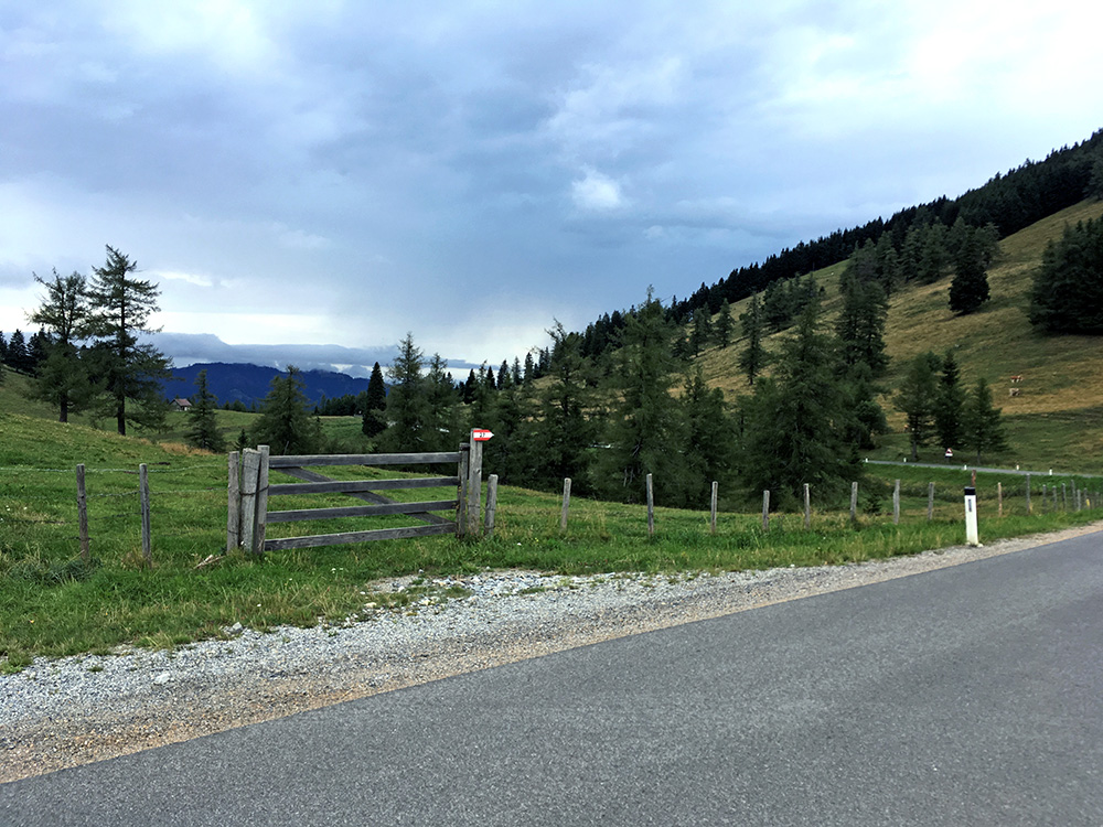
Here I am looking north. The road is near flat initially, but the steep way down starts around the corner one can imagine ahead here. There was a 5-star hotel on the Teichalm side and the road up there looked like it ended at the hotel, which was luckily not the case, but the road becomes more narrow afterwards. I think the climb here from the north was used in the Austria tour maybe this or another year.
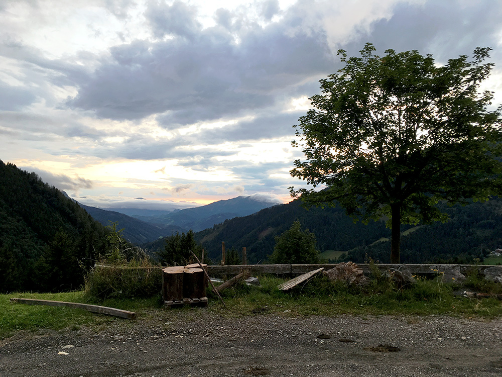
Down at the junction with the Straßegg road (713m) and the real climb up to Auf dem Straßegg (1170m) starts just there, which was the last climb for the day and the second BIG climb after Schanzsattel/Auf der Schanz. Finally there were a little evening sun and as it was not so high it was also not so cold.
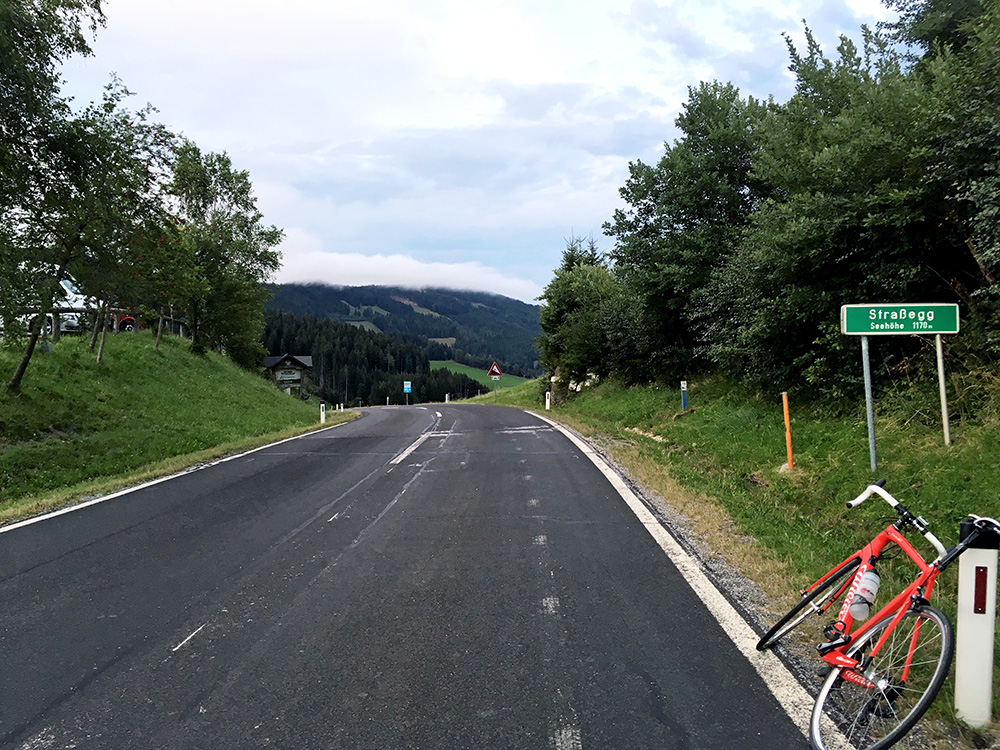
The pass sign and the road down to Gasen where the others were waiting for me at the Gasthof Jagawirt, which was easily the best place I stayed at on this little tour.
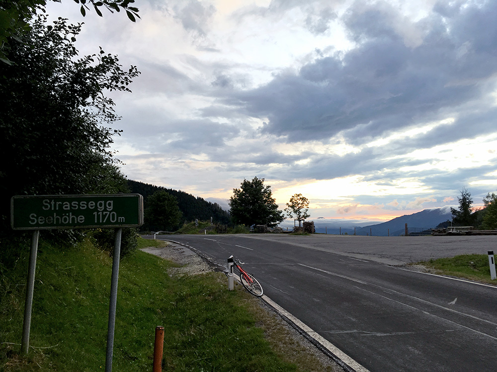
A last view back in the direction I came from. We had a nice dinner and beer at the hotel where I arrived just two minutes to 20:00, almost exactly like the day before in Langenwang.
