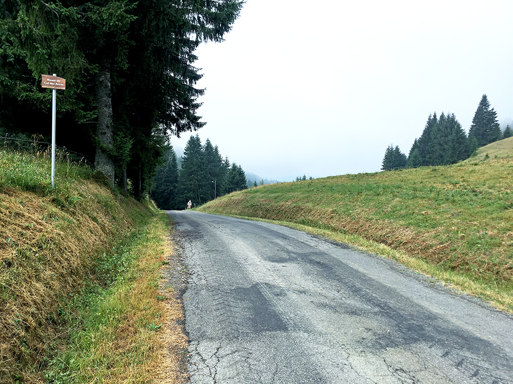
It was slightly chilly this morning and a little cloudy, but then again dry on the roads and starting uphill so now problem at all. I stopped early on in Habère-Poche for a coca-cola to get some extra energy in the morning. Now I met several cyclists and I guess this is a popular cycling area where I have not really spent so much time and still have several passes to climb here even if not so high. The main attraction was to take a meaningful way back to Switzerland collecting something I have not done before and there was a lonely BIG climb here left.
For some reason they have chosen Col des Arces/Col du Cernieux (1163m) as a BIG climb. It is not difficult from either side, but maybe it is sweeter than the nearby ones as it is on a very narrow lonely road (though even here I met two cyclists early on). Photo is from where I came up.
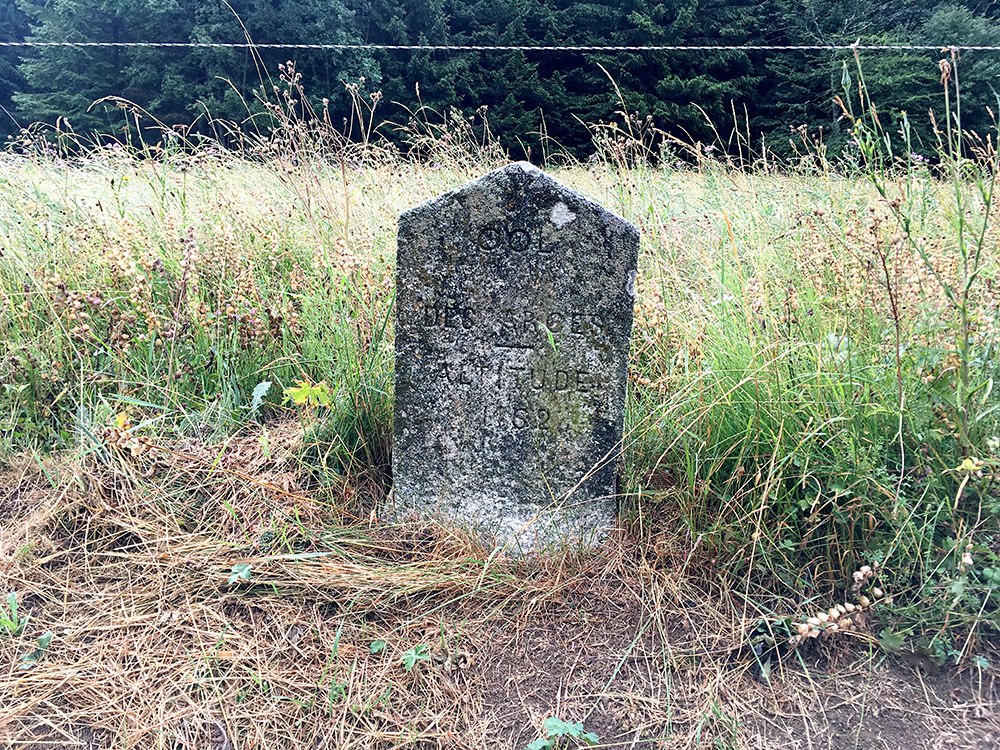
I tried to sharpen up the photo some here to make the text visible, but it is not so easy to read any longer, but it is a nice stone with the pass name on.
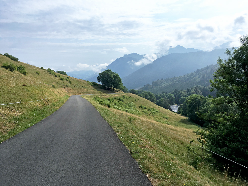
Here a little down the north side, which is much more open and quite nice. The weather then got better, but with some clouds all the time. Down then to Lullin (where I had originally planned to stay a night) and Vailly where a road goes down to 668m to then climb up to La Vernaz (808m), which is possibly a pass. From there it was a nice steep road down to the bridge at Bioge (532m) and the start of the long road to Pas de Morgins/Col d’Abondance (1370m).
I have never cycled the whole way between here and Pas de Morgins before and noticed in the latest Google street view from 2018 that the road was closed, so hoped it had reopened now. It goes up through a steep gorge soon after crossing the bridge with obvious risks for landslides. Luckily it was open again now.
The weather looked like it would be okay for most of the day for all that I could see and just cycled on. I stopped when I came to Abondance by the Vival grocery on the right when arriving at the village. After slight confusion (French style) I managed to get a half baguette with local cheese (& ham I should apparently have too) and a Thai mango juice to drink. It was good sitting eating next to a water tap in a little opening in the stone wall with benches.
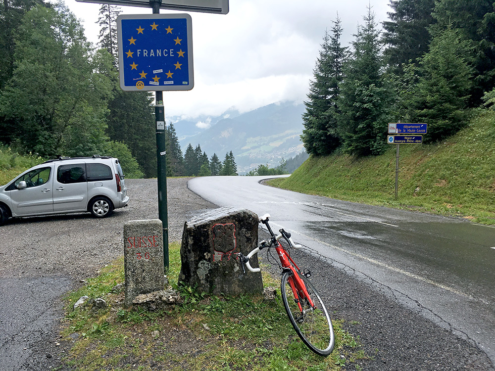
I had wanted some coffee and a toilet visit, but hoped for another short stop for that later and continued to Châtel where I took some time going to the end of the village and then back down again to a more modern coffee place which was fine. Just when I was ready to leave and felt prepared to take on the rest of the day it started to rain a little, but I just went up to the pass now close by. Just before the pass it started to get wet and cold as you might understand from the photo here looking back into warm France.
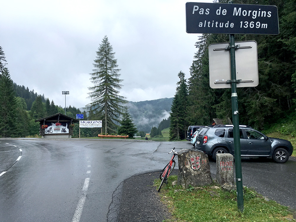
The view ahead here. Apart from leaving France, it did not feel good at all to continue down in Switzerland (and reminded me a bit of my early crossings from Italy to Austria). It was terribly cold on the way down to Morgins, where there were much more people than on the French side, likely due to sporting event, but it was misery weather down there and think it was below 10°C and raining. I just kept going, but it was no fun going down and slightly braking to try and stay half-dry/half-frozen/clean.
I dutifully took off on the minor short-cut road as I intended too down to Val d’Illiez, but it did not get warmer and the rain only got worse. Eventually I just had to stop in a very small shelter with a car (it was slightly warmer down there). I just had to wait out the rain a little and it did stop raining after 20-30 mins or so. Then I had no more rain that day luckily.
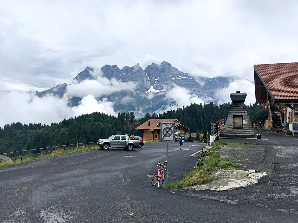
Soon I was starting to climb again (from 820m) and it felt a little meaningless as it was so cloudy and wet (and cold). Still climbing is a good way to keep warm. I stopped at the grocery in the Val d’Illiez village to buy a yoghurt and coca-cola to drag out on time a little maybe and getting more dry.
The climb to Champoussin starts nice and easy from there, but eventually there is a more direct road one can take contouring the mountainside. This turned out to be a very steep road and I had a tough time to get back up to the main road in Champoussin. Then I wondered if I would really care about going higher or not as my reason for going up here had been to see the pass on the main road that Club des Cent Cols had recently added to their catalogue of passes, but in the end I thought why not go up there as I likely will not come back here again. It was cold even going up, but I kept pushing on and eventually I reached the end by a restaurant at the very top of the scattered village (mostly Summer houses and Winter activities here I guess). The view here from the top was not so bad after all despite the clouds lingering.
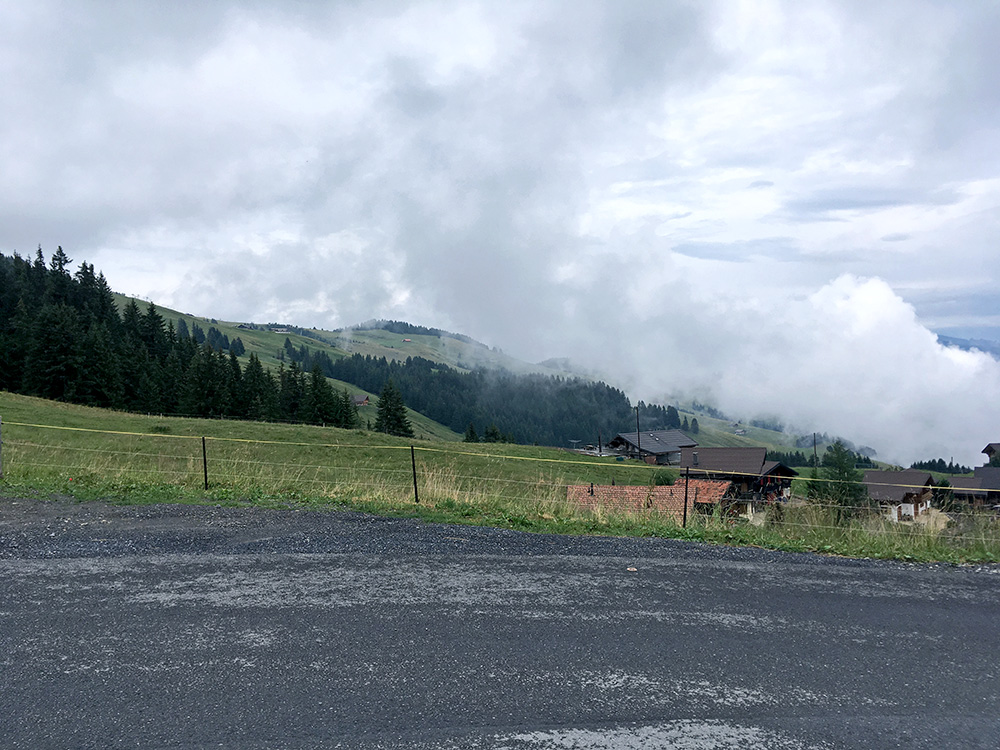
Here is a photo from Champoussin (1666m) up to where I have been before when passing by above here on a gravel road that somewhere above here turns to asphalt on the way eastward and I climbed up to La Foilleuse (1802m) which is sort of a pass and which might be the best climb you can do in the area, and one I would more like to do again than the climb up here.
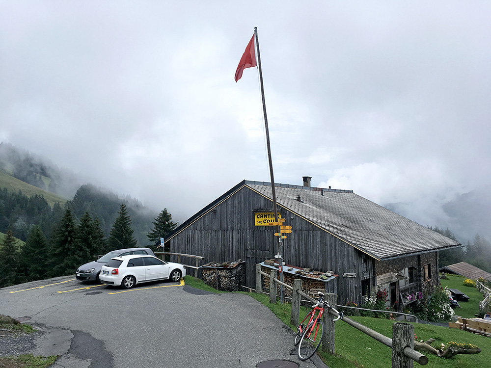
I went over the pass, Col de la Frâchette/Sur le Cou (1587m), on the main road on the way back (just 30m to climb from here), but it was very much without merit on its own and I would say the best way to go there is the way I did it in as you would have a somewhat spectacular climb to Champoussin on the narrow and steep short-cut road and good views at the end. The main road is big, but not so good until one comes down to where one could go up to Les Crosets and Portes du Soleil (a steep but possible gravel pass and also a name for the whole area of skiing and recreation).
I started up that road (after looking on the map), but then went down a small road inside the valley which turns to gravel as one crosses Le Torrent de Chavalet. It was possible, but not very good. It continues slightly down until one comes to asphalt again and in another very short climb one reaches yet another supposed (but more dubious) pass, Sur Cou/Sur le Coux (1374m). Cannot really see why Cent Cols added that as a pass to the catalogue, so will likely not list it in my own list of the highest paved Alps passes. There is a nice-looking restaurant, but I was not in need of seeing that now.
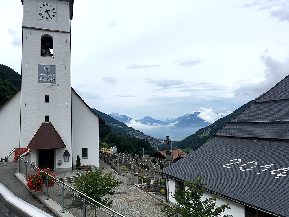
I went quickly back down this other road to Champéry and then back to the Val d’Illiez village where I had this photo before going down to Monthey (422m). In Monthey it was finally warm and nice again. I thought about stopping somewhere once again before a final climb for the day, but wanted to go up the mountains for the night for sure.
I focussed on first finding the shortest way to Aigle that I had carefully planned out beforehand and indeed managed to find it (not very easy if you do not have a gps device to follow slavishly). One first crosses the Rhône on the main road from Collombey and then takes off to follow the motorway on the side you come from (west). By the end of Etang Avale there is a tunnel under the motorway and then one takes off again just before reaching the railway and follows that road (in part some concrete at the end) (387m is the lowest one goes here). Then just before the centre of Aigle one joins the main road through the city. I circled around for a while but eventually stopped for a coffee at some bar (not much open in the centre this Saturday evening).
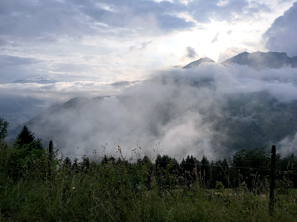
Then it was time for the final climb on this day. From Aigle centre (417m), which is a (possible) starting-point for ca. 13 different +1000m climbs (maybe a record number from one starting point), I started up to Le Sépey (980m). From there I went down a road along where the train goes (be careful here) to 943m and then up to La Forclaz (1261m), where I have been once upon a time (or close above). Now I wanted to see a circular road going up a small mountain from here to Col de la Golette/Golettaz (1409m) and yet one more +1400m pass I needed to visit. This was a very sweet road and I went up on the right-hand side, which was probably a good idea.
On this last part up here on perfectly new asphalt I had this nice view across the valley in the direction of Leysin and Tour d’Aï..
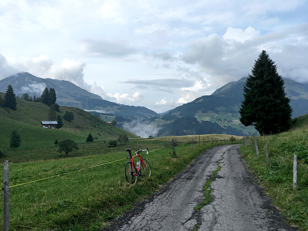
One goes around a little mountain top called La Sia and I regret I did not go up the road up the little mountain which is also paved to 1455m and where there could have been even better views! There were, however, nice views up in the direction of Col des Mosses (1445m) just after the pass too. Here the asphalt was not quite as one associates with Swiss roads, but a lovely road and then it was the same way back from La Forclaz to Le Sépey again.
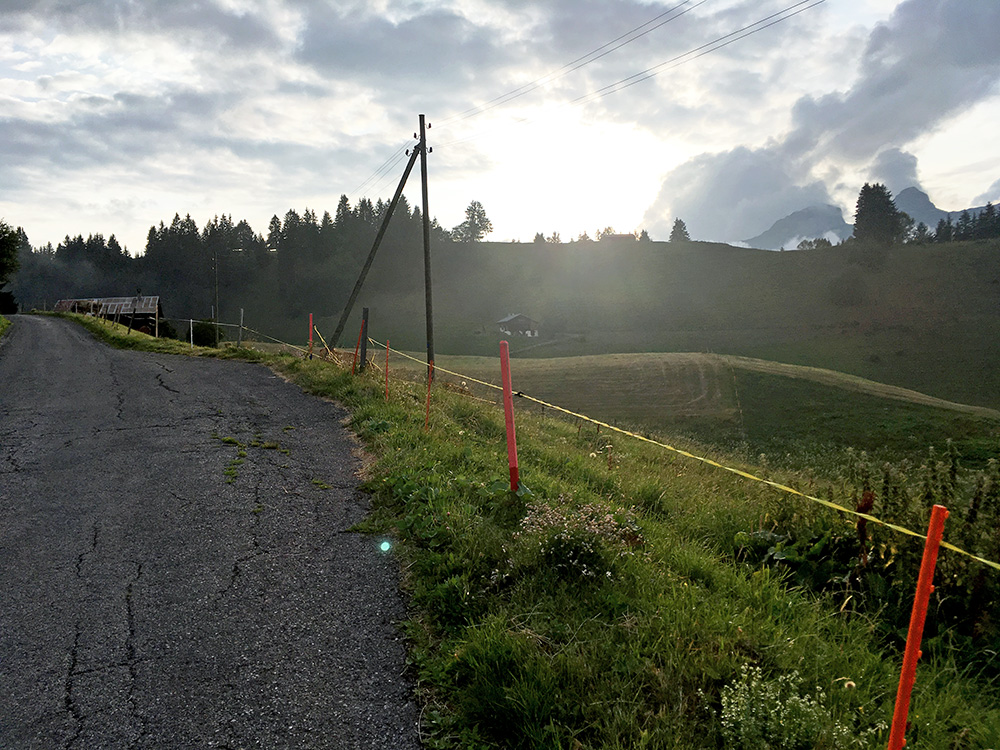
Here is the view up to La Sia.
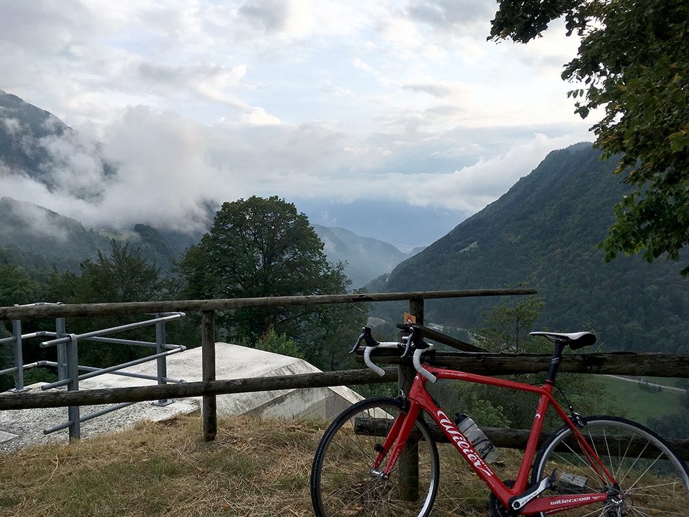
On the way back to Le Sépey I stopped for yet one more photo trying to catch a better view of the valley I climbed up from Aigle. Down there some young people were driving fast up in cars, but the police was also there putting up a partly hidden speed camera (which was good, I thought).
I had seen a hotel in Le Sépey when passing by, but nothing much else. I looked a little, but did not see any other obvious lodging around, so went over there and asked for the price. It sounded good and it was a very good hotel, but later learn I heard the price wrong and it was 30 CHF more than I thought, but otherwise it would have been the same price as the previous night in France and this was like in a different world and immensely better in all ways and had a big two-bed room with everything, so well (maybe less familiar only). The food was not so expensive (guess I had some Rösti and a beer) and the breakfast was very good too. The next day would not be too nice a day … .
