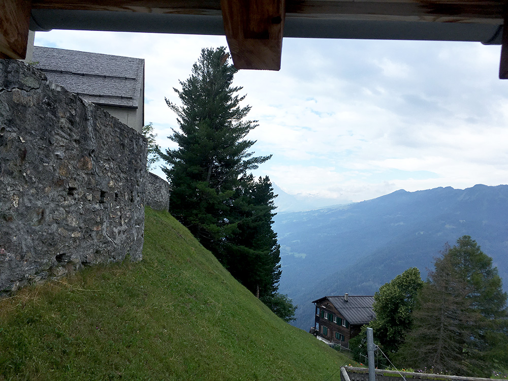
A new day and happily it looked fairly good with the weather as I looked out the bathroom window (here in the photo). I have had thoughts on climbing up the mountain on the other side seen here too on this tour, but had to cut something out and always nice to be moving on for more new views, so will have some climbs left to do in the area still (and several ones above Landquart too (on the way up to Davos and Flüelapass)).
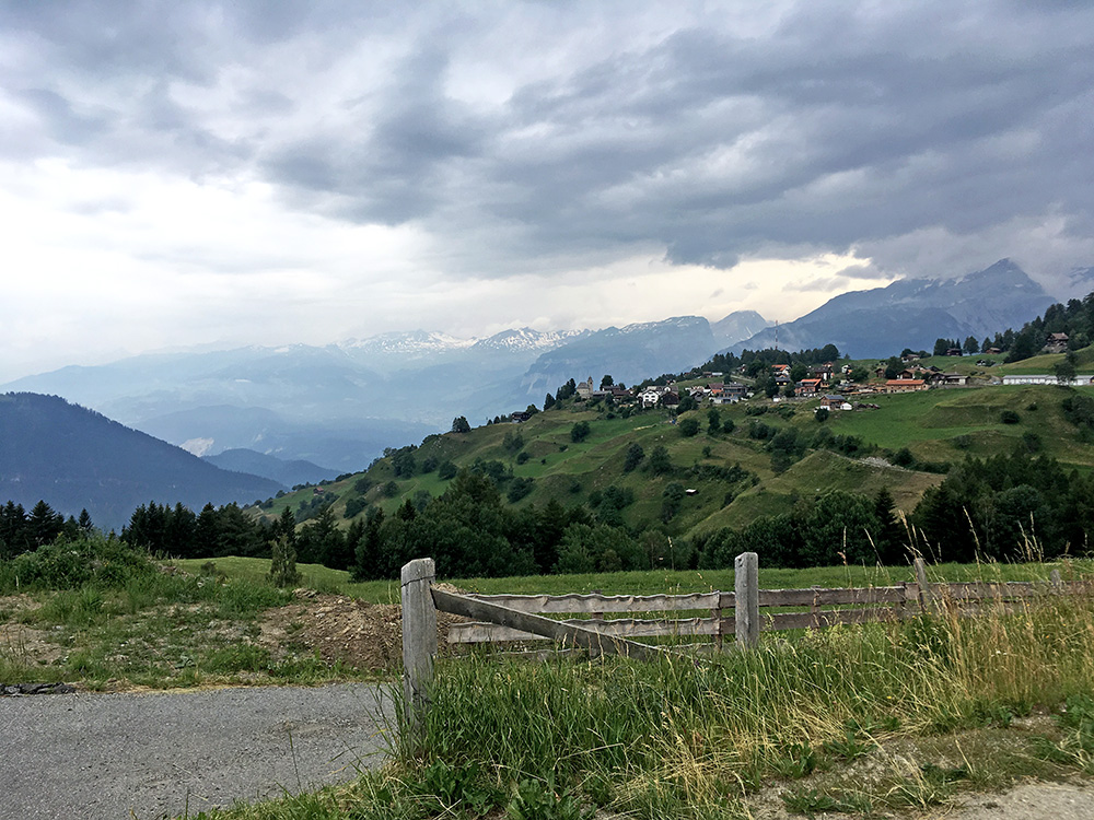
There were some raindrops in the air, but the roads had mostly dried up from the day before. Here is a last view back to Feldis/Veulden before going over the Plazza (1499m) pass and down the modern road to Rothenbrunnen/Giuvaulta (617m).
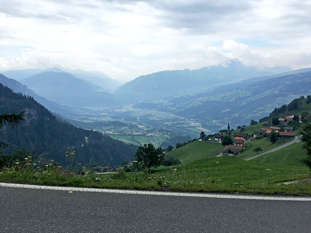
Here is a good view from the main road over Scheid/Sched toward Thusis and the mountains.
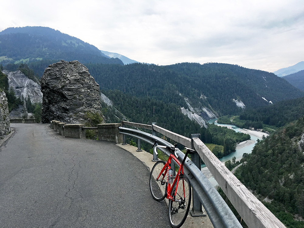
I think I continued without stopping via Bonaduz (656m) up the Versamer road, which is always nice. It is only climbing gently and I managed to get all the way up to the first high point here on the big front chain ring.
Just after here the road descends to a bridge which has been replaced recently by a new bridge. The road then climbs in serpentines up to Versam, but it now started to rain and I got confused about where I wanted to go next given the uncertain weather. I stopped at the hotel in Versam where I once stopped for the night and had a radler to think it over and see if the weather changed in some direction. The rain stopped somewhat quickly, but could not quite decide where it was going, but anyway decided to take a chance on the local climb I had planned here early up the Safiental to Bleichtaboda/Tenner Alp (1938m).
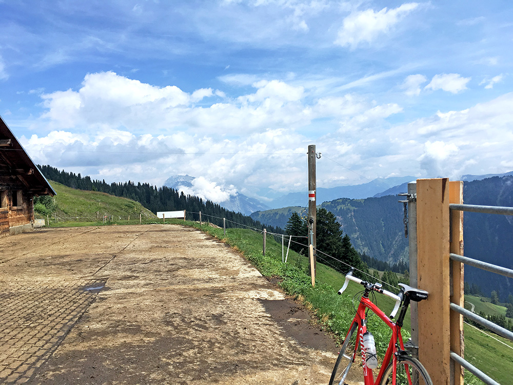
All went fine and the weather improved on the way up to Bleichtaboda at Tenner Alp. There are several locations up near 2000m (and maybe one above) that could be reached in the Safiental on concrete road strips, but this is the only unbroken climb from the Versamer tobelbrucke (730m) (1208hm) or from the train station at In der Grossisla (635m) (1319hm) or the turn-off to Safiental (893m) (1045hm). Also the road up the Safiental from the turn-off for Tenna used to be mostly gravel (which one still sees in Google street views), but the road has been improved upon lately (not sure what parts might still be gravel though), but I did not see any gravel now here at least.
Here is the first photo from the end of the concrete road up from the Tenna village and it was an impressive climb with great views.
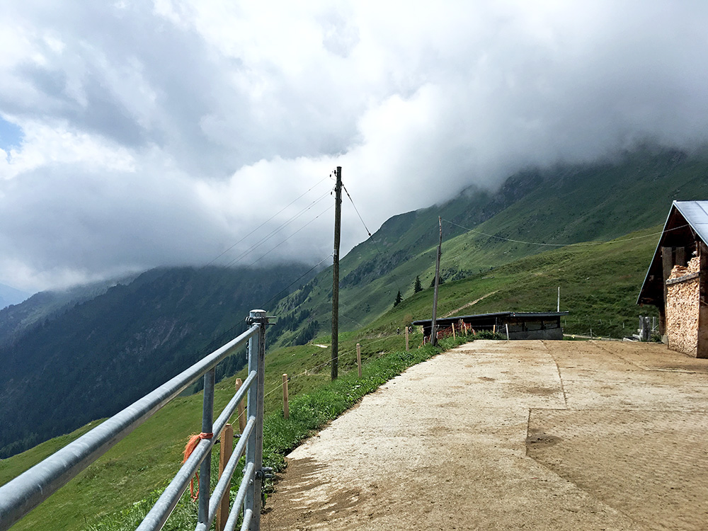
Even though one might think of these concrete roads high up the Swiss Alps as very steep and hard, this road is rather nice and easy and all normally trained road cyclists would have no problem getting up here apart from the long climb that it is. It is seldom much above 10%. Looking back here. As I waited two mountain biking cyclists also came up and had another photo of them, but left it out. They continued partly walking I presume to the Tenner Chrüz (2015m). I think they said it is hard going down the other side even for mountain bikers (they had apparently already been up there before). The views are likely good there though.
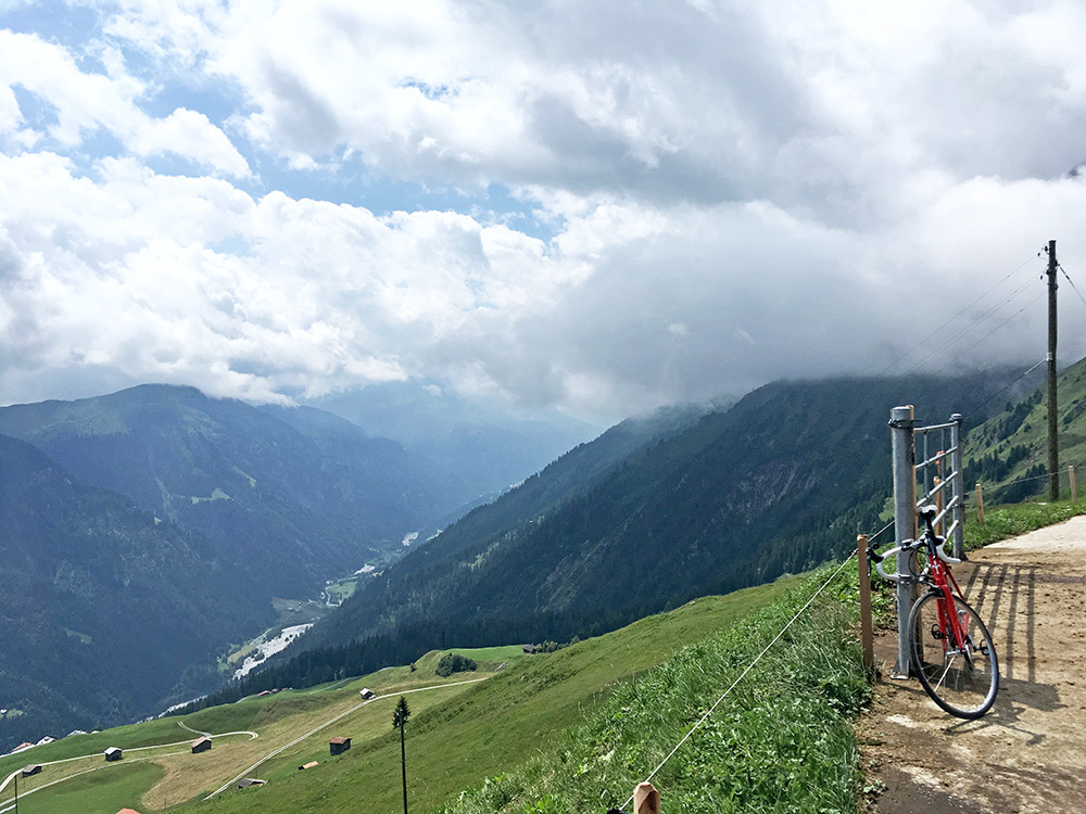
Looking up the Safiental from Bleichtaboda.
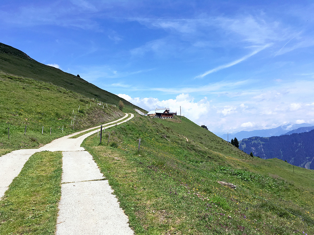
Here is the last stretch to Bleichtaboda.
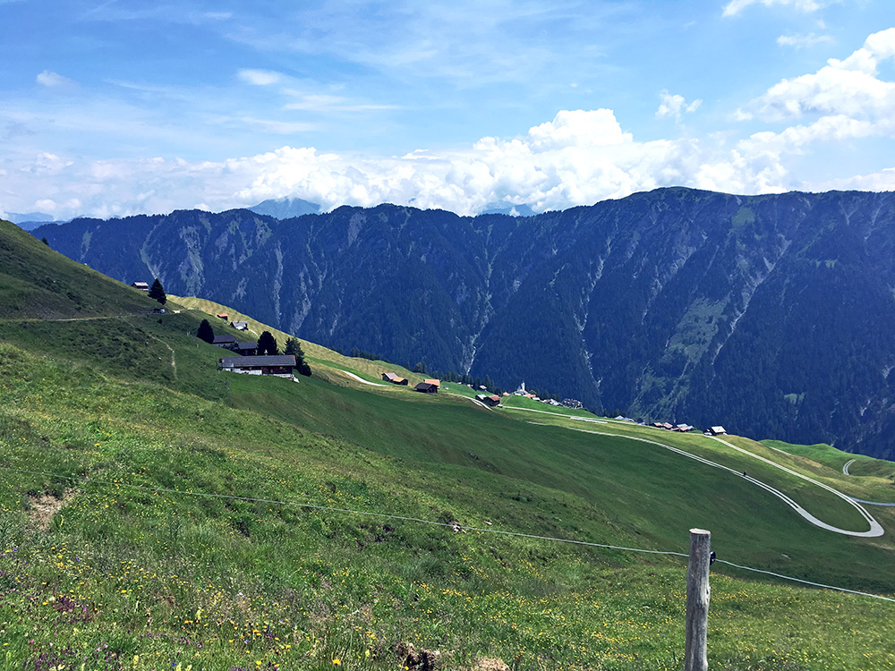
The views over Tenna and the ridge on the other side of the valley.
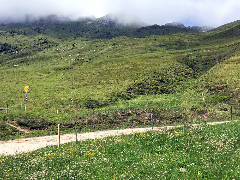
The clouds are slowly leaving the mountains above, but could not wait them out.
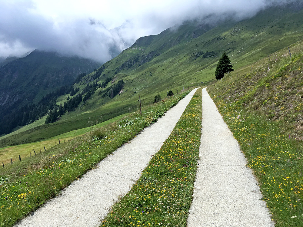
It is quite a nice road to climb all the way, but especially here.
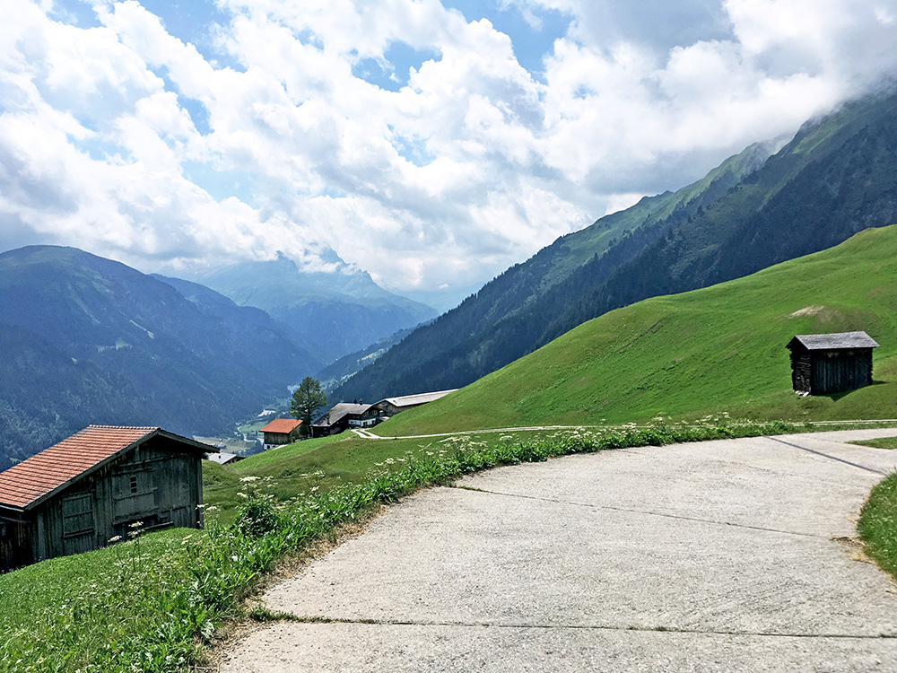
Seeing further up the Safiental lower down.
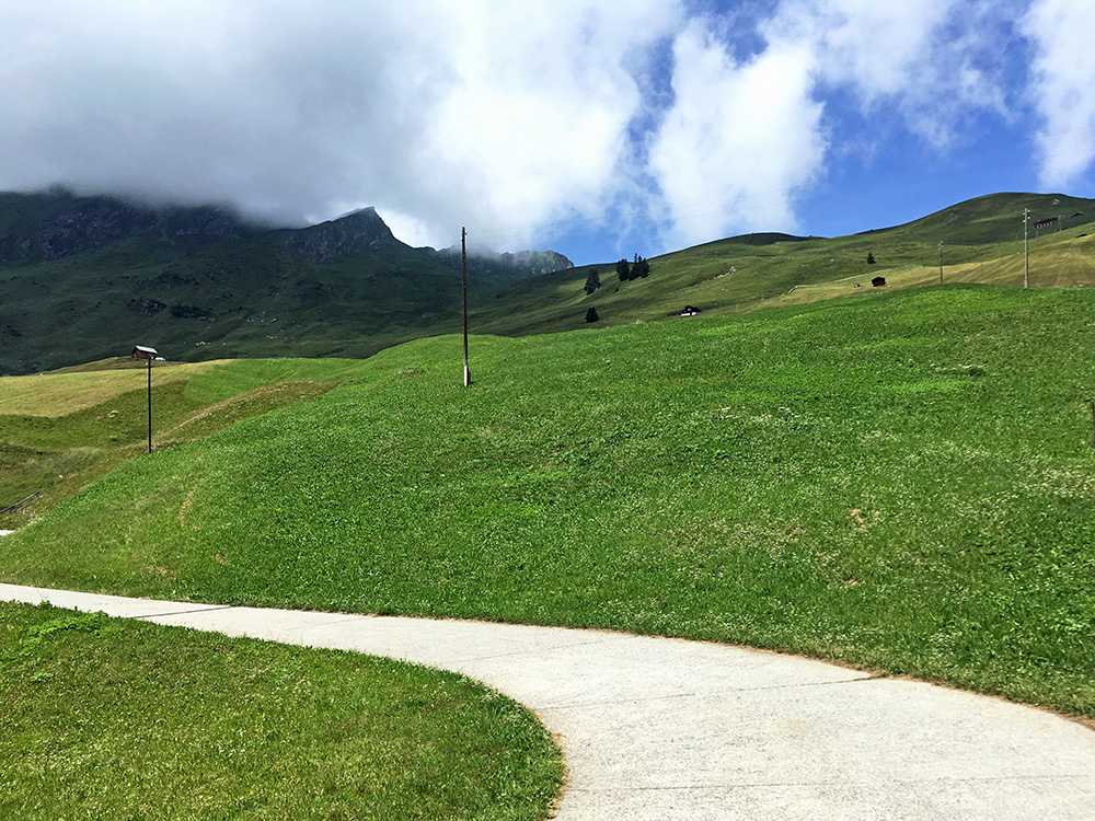
Now the clouds were almost gone above. I could not quite had hoped for that down in Versam, but one has to be lucky.
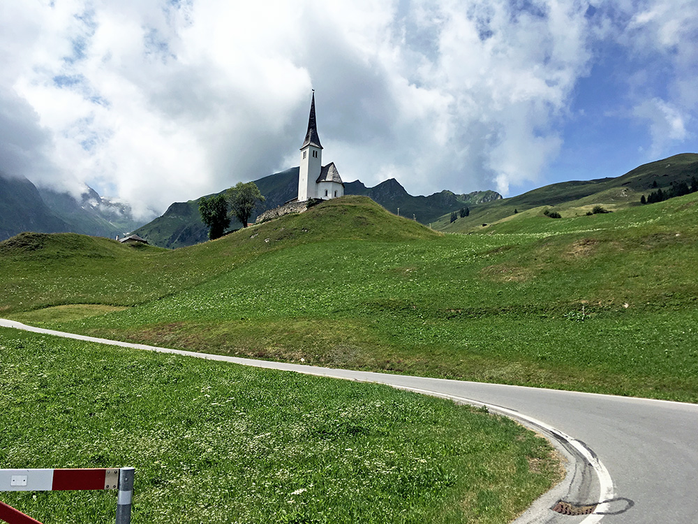
I stopped in Tenna at the central hotel and had a coca-cola to drink and then continued down the road, but stopping for a photo of the church as I noticed it was good views back up from here now. Then it was down to the heat now coming in again. Luckily I was not going down very far as I planned to follow the Versamer road just a bit longer over an unnamed pass (936m) and high point of that road.
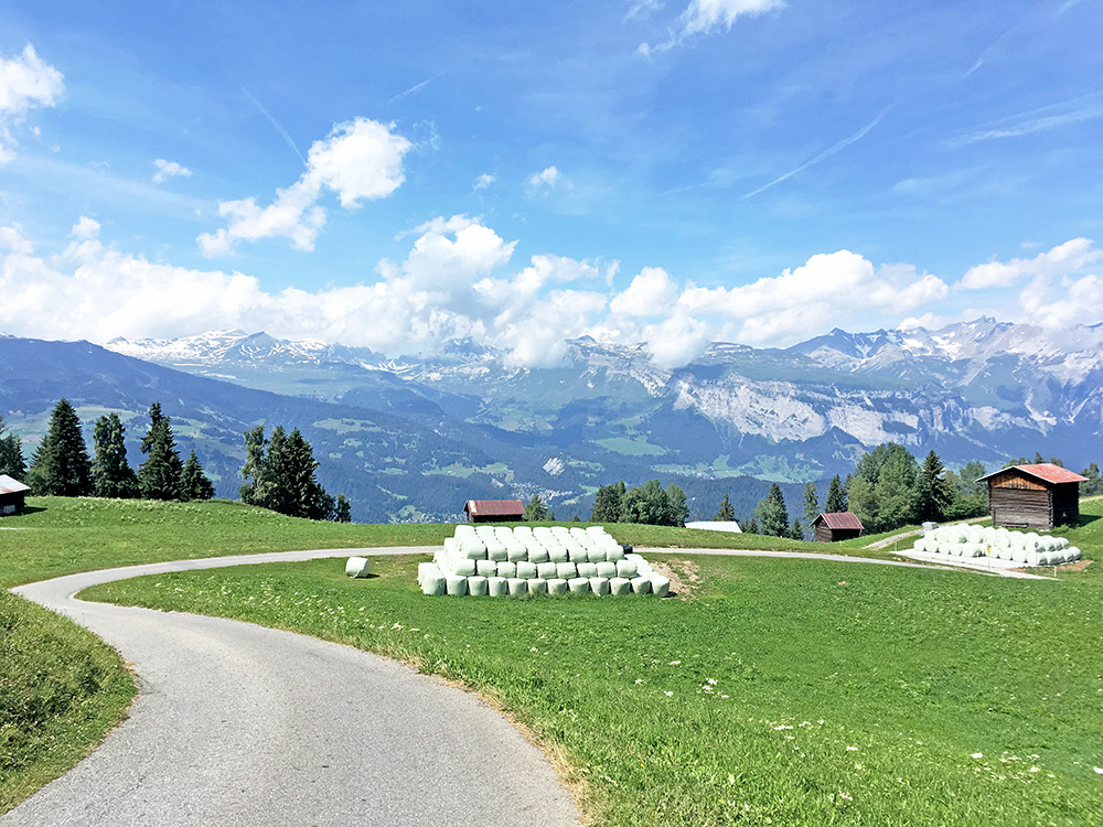
Down at Valendas (809m) I went up on a small road that I had checked to be all paved which climbs irregularly up to Dutjen (and what the road is sign-posted for). At Oberdutjen (1500m) I just had to stop for water, but there were lots of stinging insects there and they had a small garage that served as a café so stopped there for a big lemonade before I continued a little less sweaty. There were really great views above Dutjen as you see here.
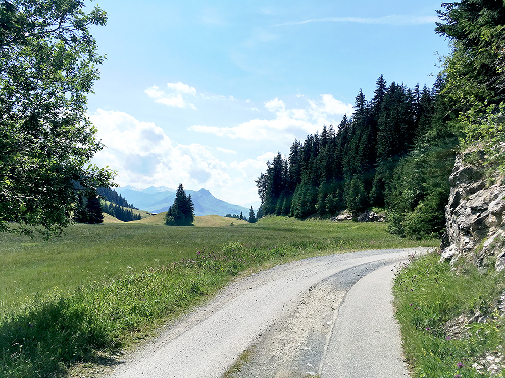
The road climbs over a little unnamed (or named?) pass Paliu Plauna (1590m), but the pass name Sattel also appears on the map very close by, but Sattel does not always signify proper passes in this part of Switzerland or it is meaning something similar or just marking vague passes (not totally clear). The road then is a little like a ridge road or shelf road. Just at the top as you see in the photo here there are only wheel strips (short section), but asphalted such for a change.
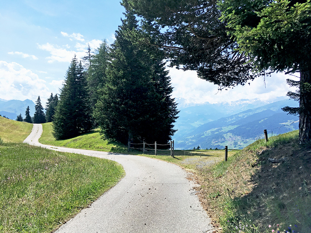
One of the best views I had this Summer and hard to find a nicer road to cycle on than this one here. Very much recommended! Only met two mountain bikers along this road before Dutjen.
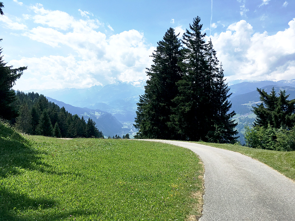
Another photo a bit further ahead before the road goes down to meet another road coming up from Ilanz/Glion.
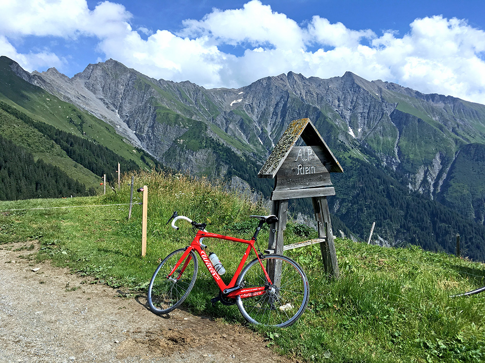
The road coming up from Ilanz/Glion goes to Alp da Riein and should perhaps be climbed from there but my way was sweeter. The turn-off is at 1532m and the road is then fairly steep up to the end. The asphalt ends at 1855m and the last ramp up to the alp at 1882m is gravel and it was bit too steep so it was better walking up there as I did. (One has to jump off the bike anyway to pass a steel wire across the road.) Here I am up at the alp. The mountain behind the alp are too steep even for paths up, so this felt like a very definite end of the road up here. (There is a path up on the side that I cycled around, but no path across the mountain ridge.)
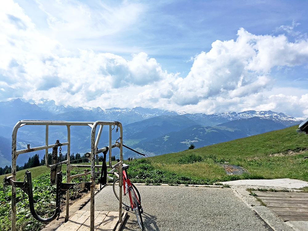
Looking across the Surselva valley from the alp.
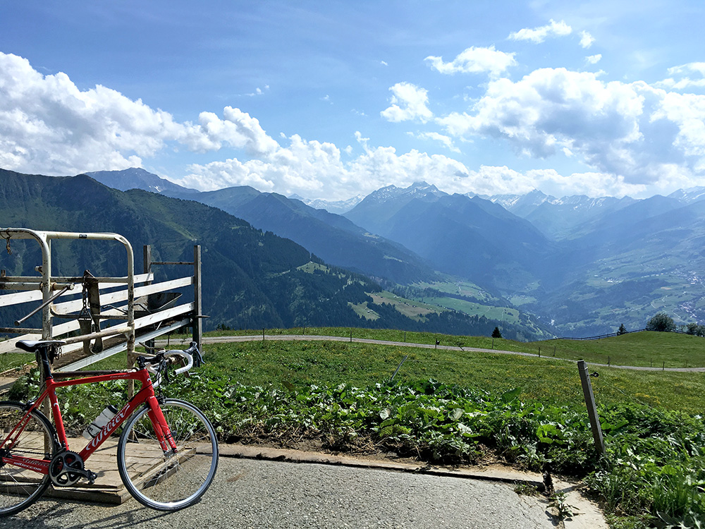
Looking up the Val Lumnezia and you see the gravel stretch at the end.
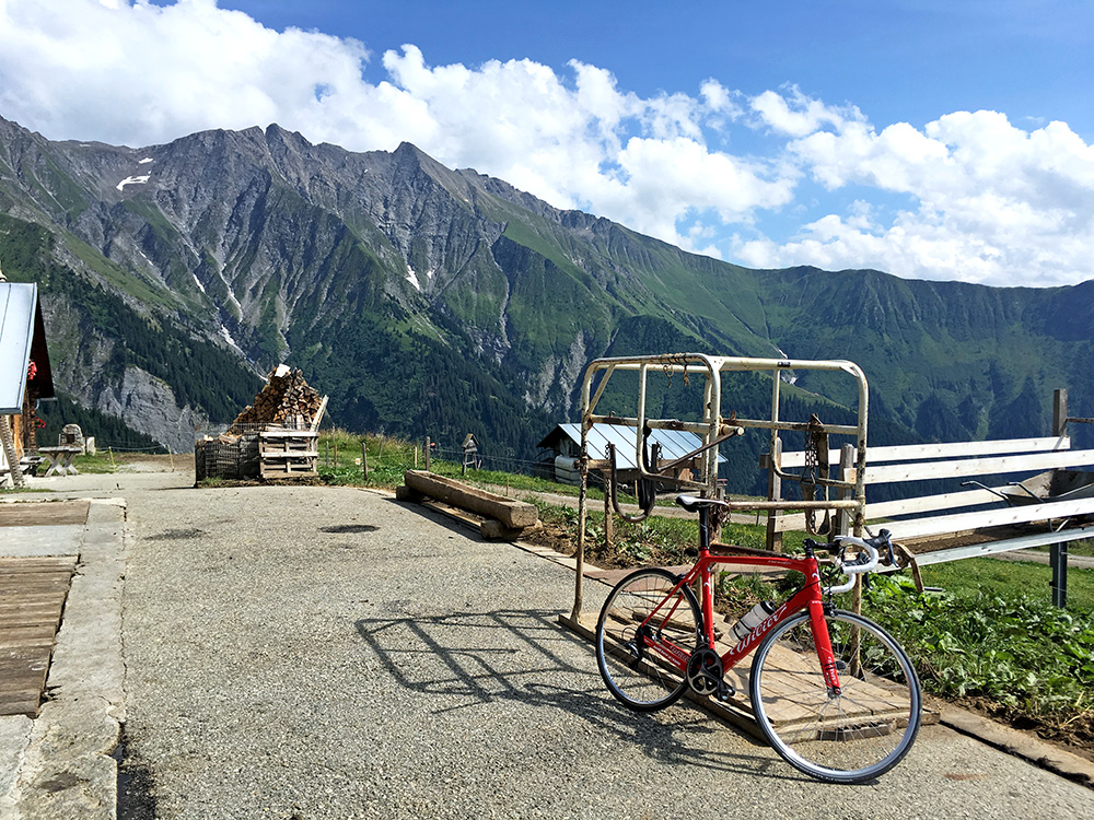
The alp and the Cadeina dil Signina (ridge). The farmer was there and as I was about to sneak away down he came out from the stable with hays in his pockets and said hello. We talked for a while and he was a nice (not so old) man, but I cannot claim I understood a word of what he was saying.
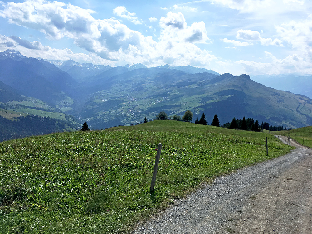
On the way back down the gravel ramp (shorter than it looks here) and the Lumnezia valley again. I have been up there at the Nallpass/Pass dil Nall (Alp Nova) (2074m) a bit along the ridge seen to the right in 2011 (not crossing it). There is only one road down the valley and that does not take one so far up the Lumnezia valley, but there is a higher road almost visible to the right that goes further to Vrin. The valley floor road is the one to take if going to Valser Tal to the left later and that is where I was heading now.
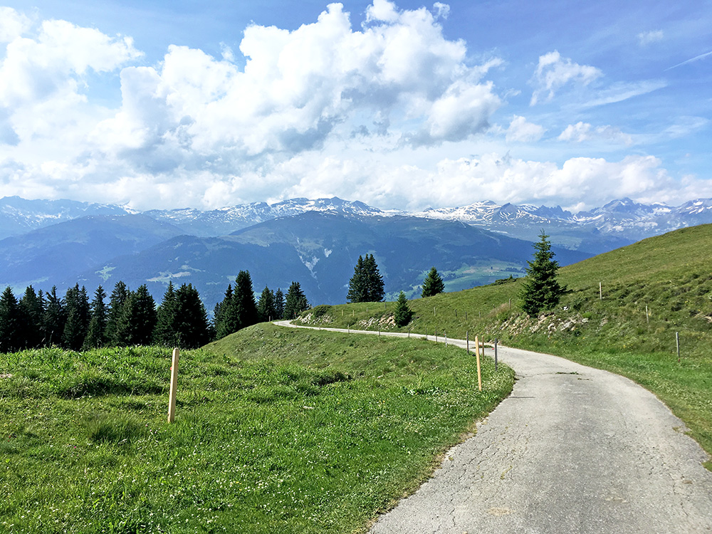
The view from near the end of asphalt is fairly good too.
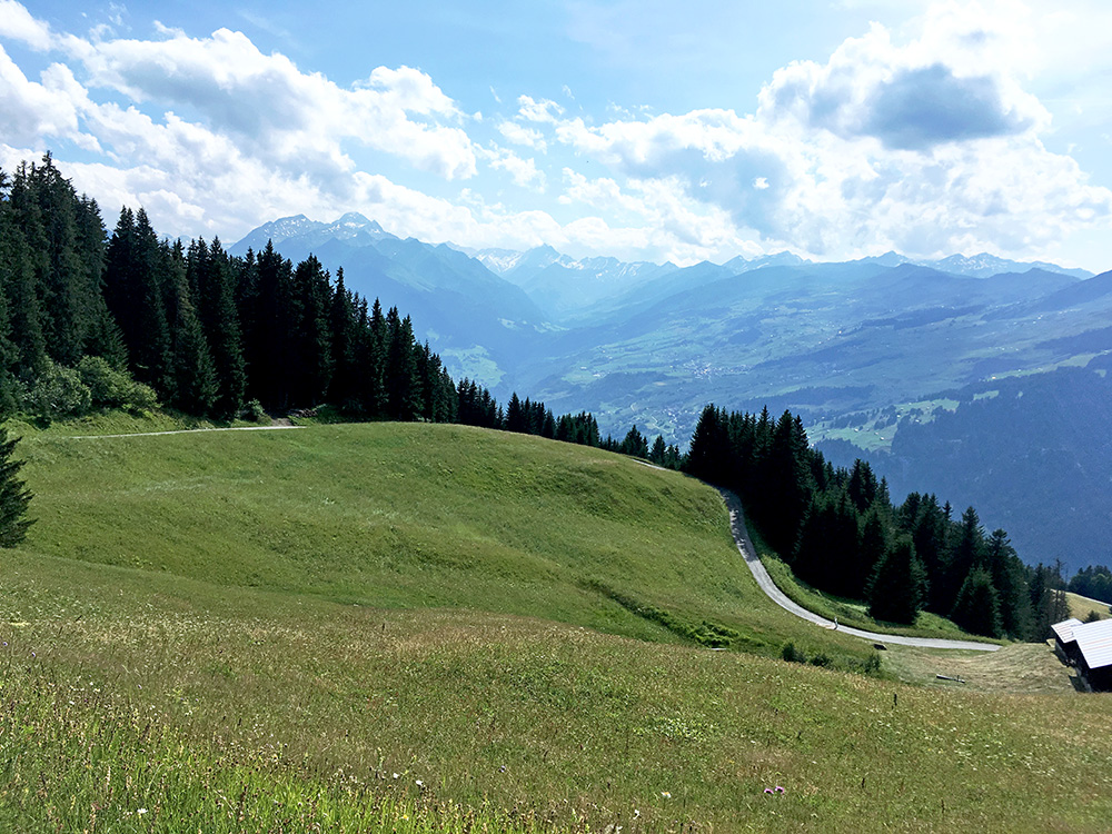
The climb up here is not so easy and a man I met on the way up seemed to be mumbling something about it being insanity cycling up here, but could not quite agree with that.
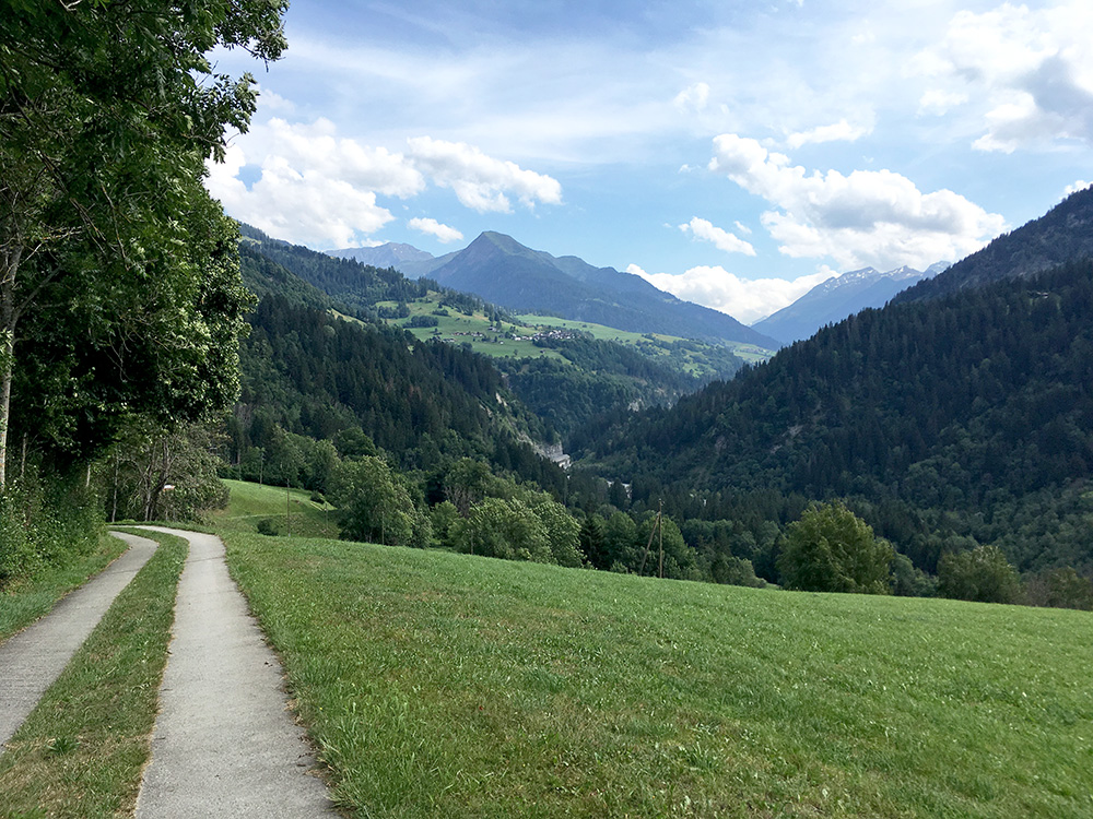
Down the road to Ilanz/Glion I had spotted a possible short-cut road up the Lumnezia valley, which would actually save me a bit of a distance. It was gravel, but only for maybe 300m or so and then concrete down to the main road in the valley. Here I am looking ahead from the concrete (before it got a bit steepish down to the road).
It was a long way ahead and at first it was nice and easy, apart from a stretch where they were working on the road. I met a cyclist coming down and he did not look happy (sort shook his head), which could mean trouble or that he simply thought it was a long hard road or that I was going up too late in the day there (wish I knew, but it did not matter much). The road only starts climbing when coming close to the end of the Lumnezia valley for this road. The road climbs up to the Valser Tal to the left here. There is one and only one road up from the valley road to the road to Vrin. With a mountain bike I guess there are more options.
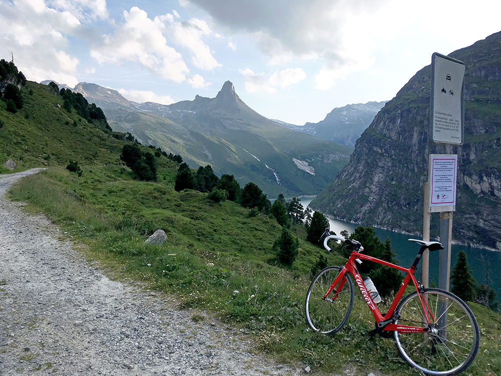
The road is not consistently climb up and there is at least one place in the beginning of the Valser valley where it descends. Further on it climbs more clearly though, but once up at Vals (1266m) it is fairly flat. I thought about stopping for refreshments at some nice place on the way out above the village, but there were none there, so just to continue. Now the real climbing starts. It was initially nice and even if I missed getting something to drink on the way, it still felt fine. This however changed fairly fast and when I arrived at the final serpentine road up to the lake/dam it started to get tough going. I was very tired and it was like 14% all the time. I was starting to get dizzy and almost falling, but fighted myself the way up to a luckily open restaurant just below the lake (Restaurant Zervreila, they seem to have beds too).
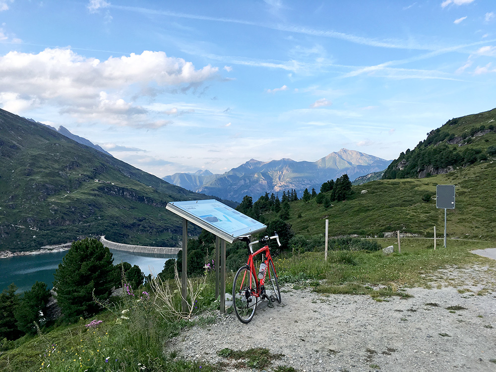
I had a coca-cola hanging at the table sipping it slowly. Forgot to pay on the way out, but the girl there stopped me and it was fairly obvious I could complain about being tired. I was just good enough to get up the last stretch now, but even that was hard as it continues very steep to the end above the Zervreilasee/Zerfreilasee (1984m at the end). Still that was all for the day of climbing really. Perhaps I get a bit more tired now than in earlier years, but three big climbs in a day is always possibly hard.
In the photo above, only gravel ahead (and not so good) and it only descends from here anyway. Luckily it was very nice up to Zervreilasee/Zerfreilasee and it is a climb I have not heard so much about, possibly because it is below 2000m, but also knew it should be nice. Here looking back down.
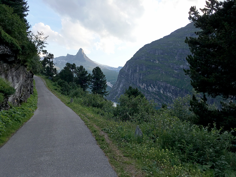
One place on the last ramp that was not so steep and the last part of the road was nicest and very good too.
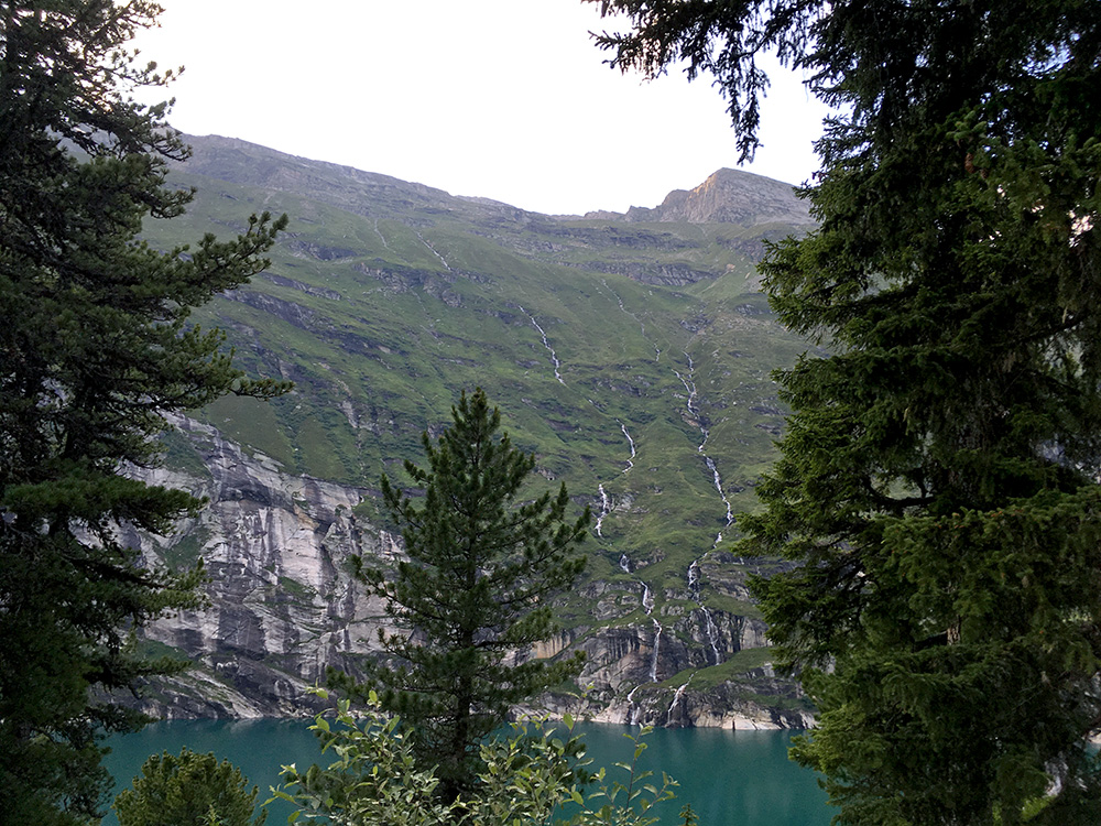
Some waterfalls across the lake. No place for a road on that side.
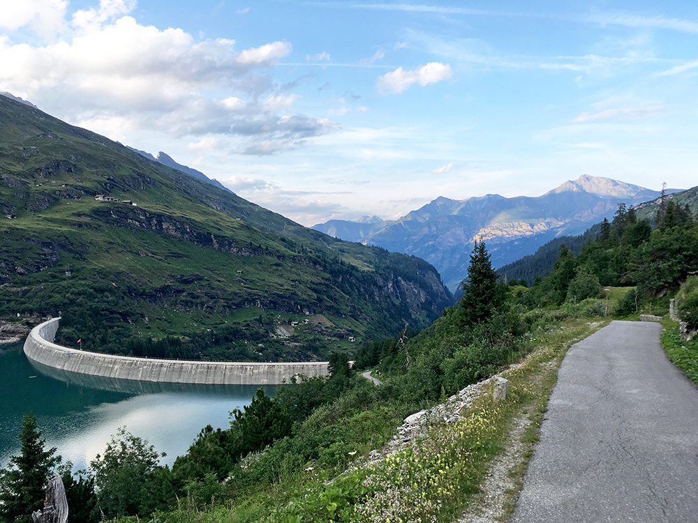
Another photo back down before going down to the dam building.
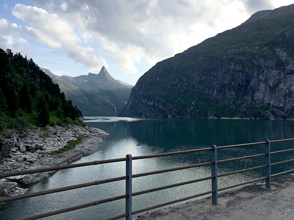
The views from the dam itself was not bad either.
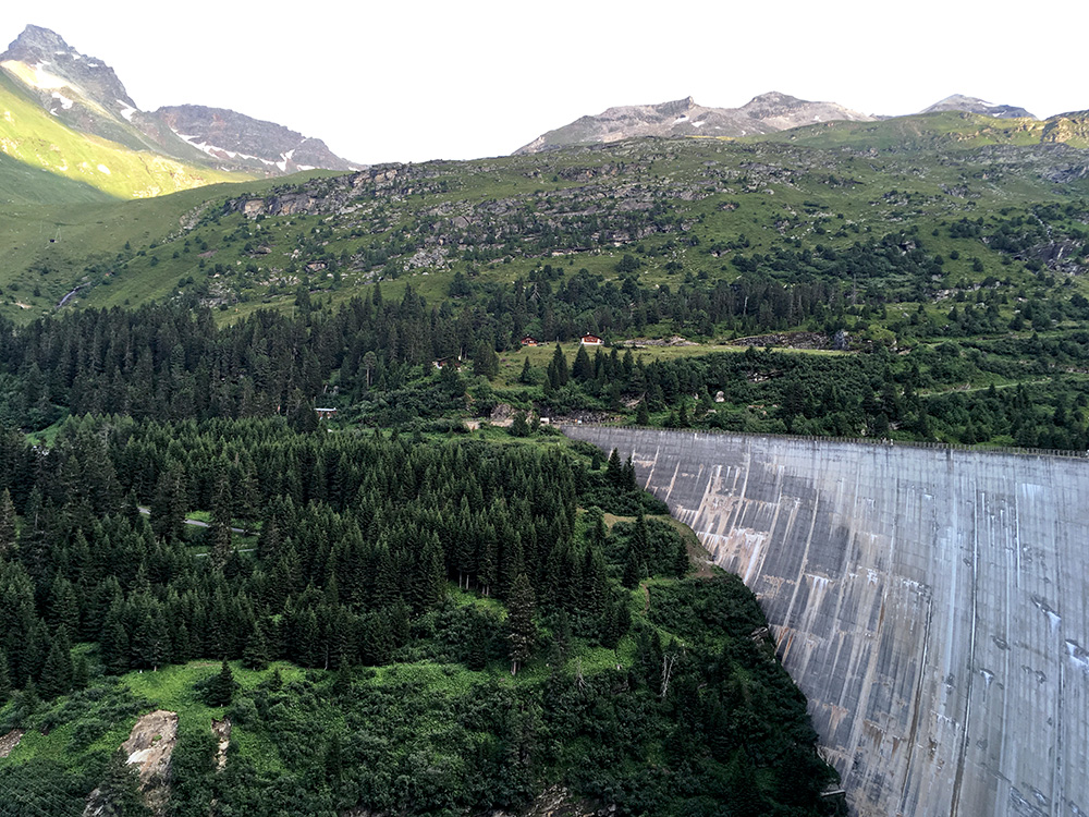
Looking back from the other side of the dam and you can see the zig-zag road i climbed.
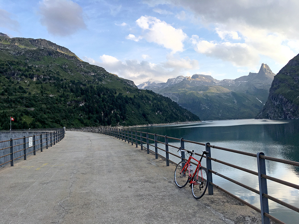
A last photo from that other side of the dam where one also sees a snowy peak.
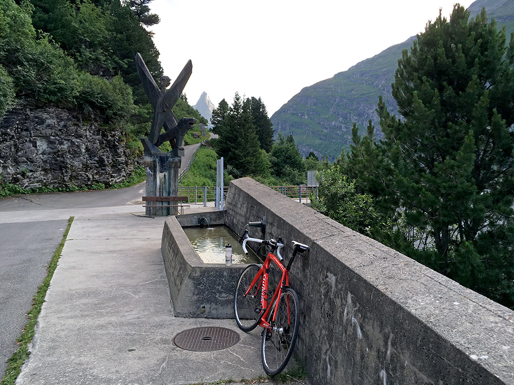
A very welcome water tap by the dam, but after after the restaurant on the way up. I had to be a bit careful on the way down as there are some tricky curves and I was tired.
It was late now and I more or less decided up here that it would be good enough if I could only get down to Vals and then try and find a somewhat affordable lodging there. I had seen the hotel in the centre with people sitting outside drinking coffee etc, so I knew that and some more existed. Anyway I asked the girl at the Restaurant Zervreila and was told that the hotel in question was most likely cheapest in Vals. So stopped there and got a room at Gasthaus Edelweiss. It was fairly priced and nice people. I got a Cordon Bleu and a big Calanda beer for dinner (more expensive here than in the more expensive hotel yesterday) and was assured there would be breakfast in the morning, though I had to serve it to myself as no one would be there then. It was an older type hotel, which I prefer, so was all happy with the ending of the day and had a fair amount of height metres this day.
