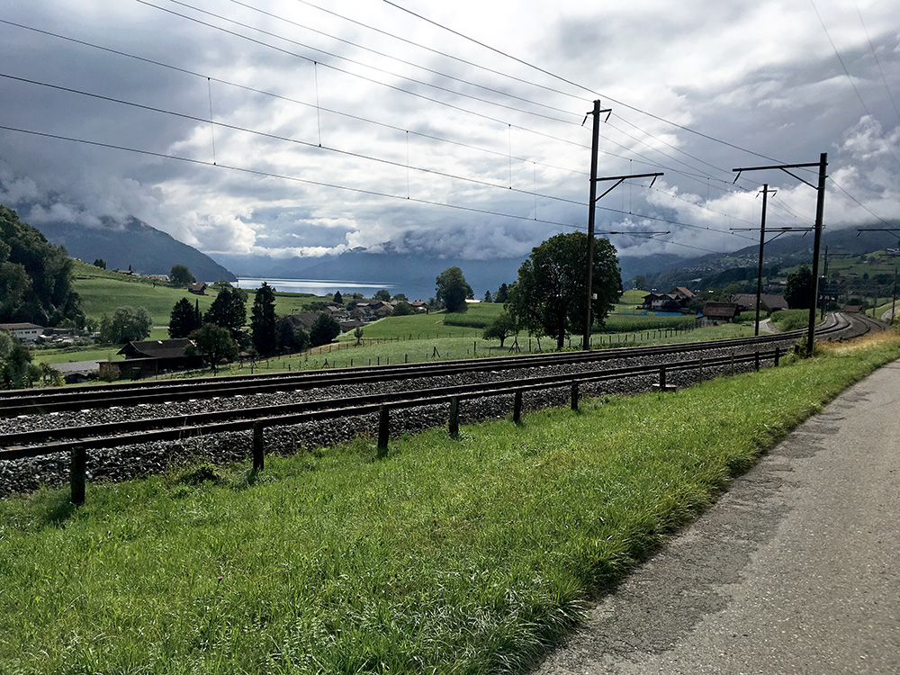
Cloudy in the morning, but no rain and took the flat minor road down to Wimmis (623m) from Oey (670m). I had decided to take the shortest way possible to Interlaken this day so I went on the main road to Spiezwiler and then a short-cut (allowed for cycling, but had to check the map a few times here) down to Spiezerfeld, where I stopped for the first photo for the day here down in the direction I was going to Faulensee by the Thunersee.
Once out on the main road somewhere after Faulensee, I think I continued on it to Leissigen, but one were not supposed to use it part (or most) of that stretch, but think I first missed a turn-off and then just ignored another one. Later I was nice and followed the main road only when one was supposed to though (and it is a bit busy for cycling on, but it is not much better on the stretches where one has to use the main road). It is a fairly fast road to Interlaken either way though.
I tried to find a place to clean up the bike at in Interlaken, but without success and continued on the road out north over the old bridge (confusingly one is met with one-way signs in the other direction, here, but maybe it is only for cars). I stopped on the way up at Goldswil to clean it up a little with some paper, but then found a gas station just afterwards with paper and cleaned it better.
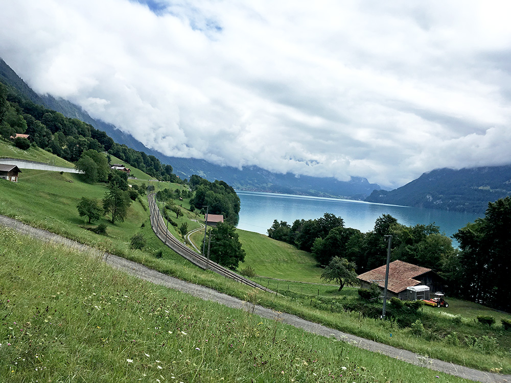
Took the photo here without stopping, I think, after Niederried along the Brienzersee. Speeded up a little as another cyclist approached from behind and stopped later for a coca-cola. After Brienz I climbed up via Ballenberg, which is a miniature park of the whole of Switzerland, I learned later in the day, but when I passed by I thought it was some sports arena or something. It is a short-cut road up to Brienzwiler and the road cyclists should take now when going up to Brünigpass (1008m).
No sun, but dry and around 19-20°C, so for once perfect cycling weather. I went down the nice and fast road to Lungern and stopped at the first Volg grocery as once before as it is right where the road flattens out and where I should take off the road. Had a yoghurt and coca-cola again I think. Then I went down to start on my next climb that I was not totally happy with as I could be sure there would not be any good views up there and was also slightly worried as it should be one of the steepest roads in Switzerland.
It was now time to climb one of those really tough roads I have long looked into but this one was still on my list. Time for the Dundelstrasse the road to Dundel and Breitenfeld. Moreover the Swiss Cent Cols people had figured out there is a pass up here that I had to do to complete my list of having climbed all paved passes in the Alps above 1400m, the Durrenegg (1514m). Sometimes ‘egg’ corresponds to a pass, but most often not, but apparently they deemed this one was ok (not all that clear to me, but it seems like a worthy destination for climbers, so maybe for that reason).
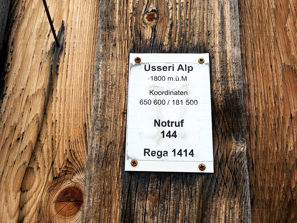
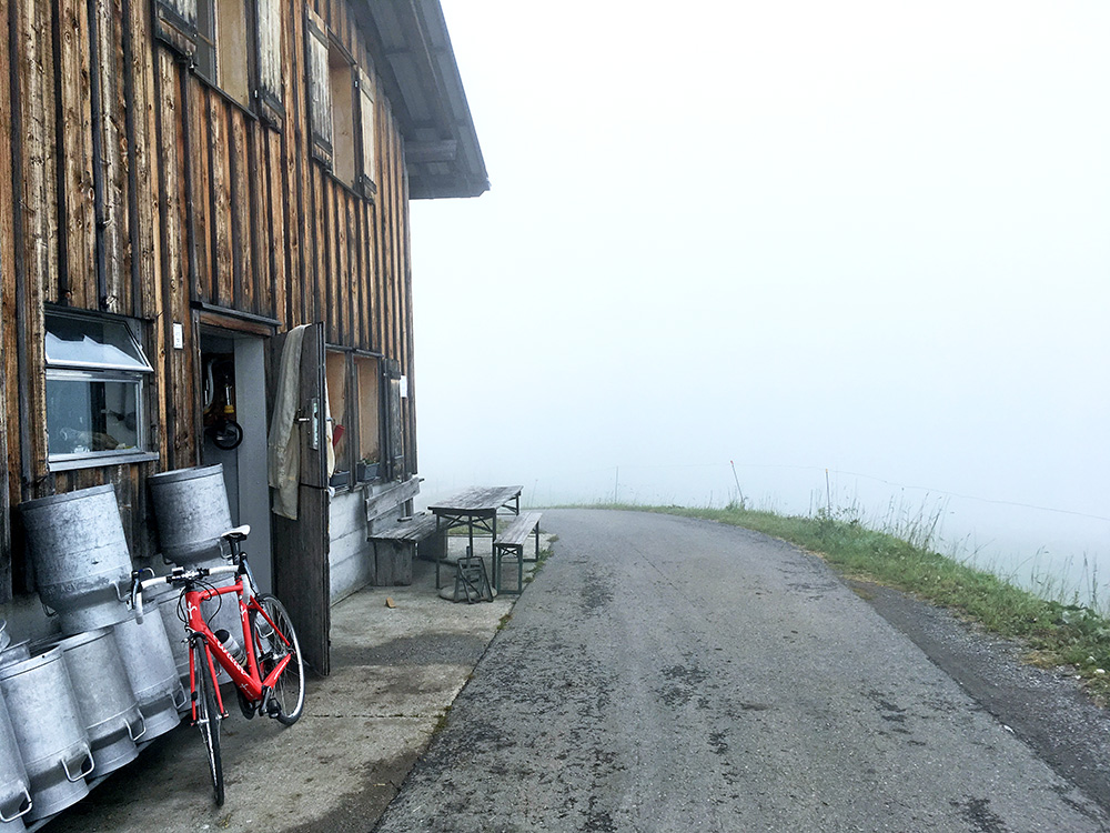
It was a tough climb indeed, but I was prepared and when I made the first steep ramp, my fighting spirit made me do the rest without too much problem. I had to briefly put down my feet above Dundel as a tractor passed me by on the very narrow road, but otherwise I climbed straight up to the very end at Üsseri Alp (1797m) after Breitenfeld (from where the road only climbs at ca. 3% for a kilometre further on).
Not much of views up here on this day as you can see in the photos here.
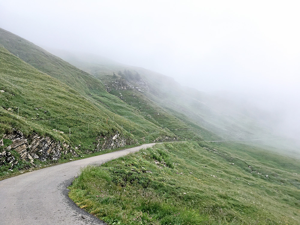
This was as far as one could see in any direction up here. I believe one could have fairly good views up here otherwise.
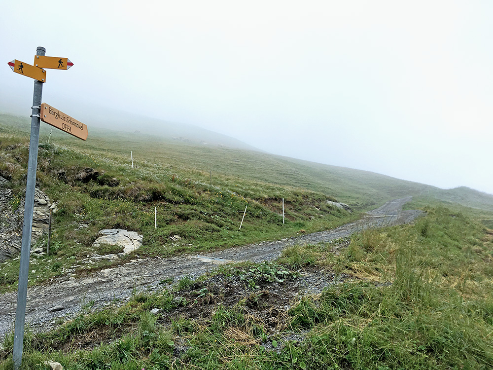
Here is the gravel track up to the Schönbüel restaurant at 2008m that I once had hoped to be able to climb up to, but the road here demands a mountain bike.
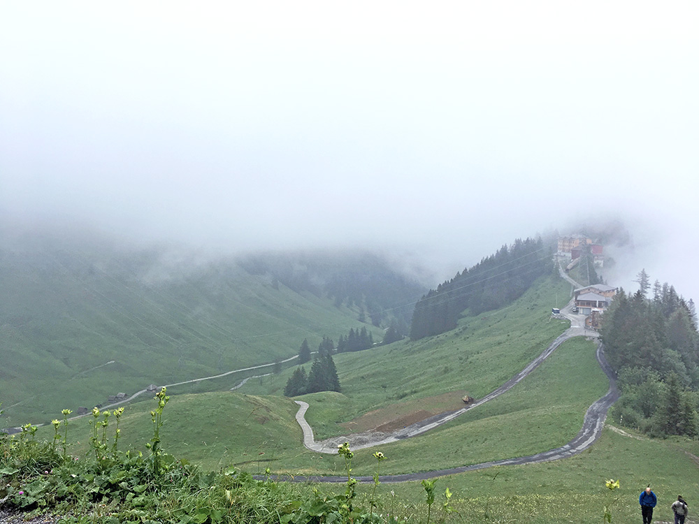
The view on the way back down over Durrenegg/Turren and the road coming up from below. This part of the road is the only easy part along the way up. Slightly bad road up from the valley road there on the section you cannot see and steeper and where I met the tractor.
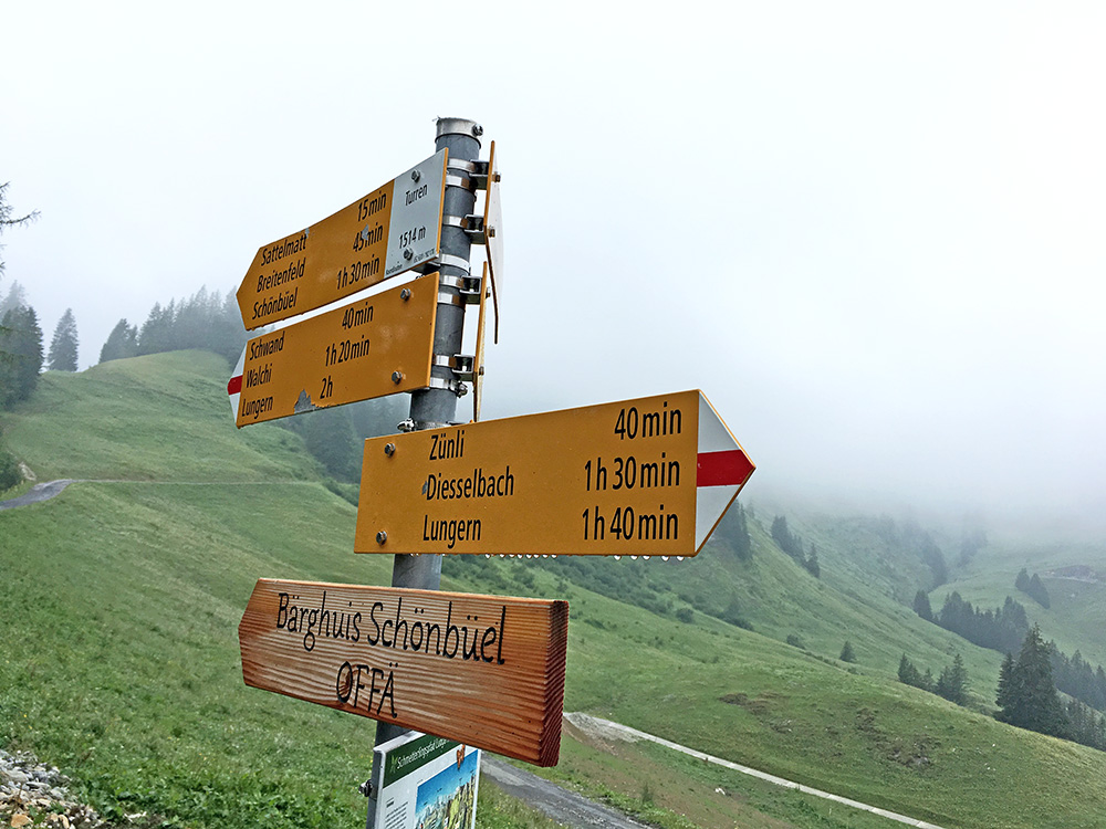
The sign at Durrenegg/Turren. Wonder if there might have been a Durrenegg sign a bit in on the road there (if there is a pass here, then this location is the proper high point of the road pass anyway and it is only 2m lower in on the road). (The road to the Turren mountain is paved to the very top at 1562m.)
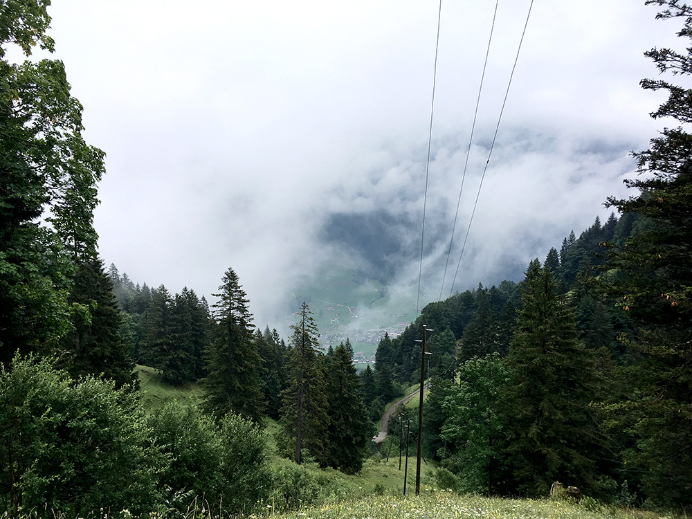
This photo is from the end of the hardest part up and one could now just about get a little glimpse back down to the start here.
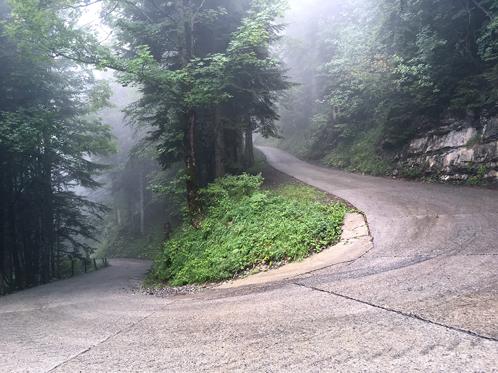
The exact figures of the climb are like this: up to 1400m: 4.81 km/683hm/14.3%; to Üsseri Alp 1797m: 9.35 km/1081hm/11.6%; to Breitenfeld 1762m: 8.3 km/1045hm/12.7%. 14.3% on average for close to 5 km is not easy! Sella di Zoncolan (Monte Zoncolan) (1738m) for example is steeper, but not much. Nice impressive concrete road!
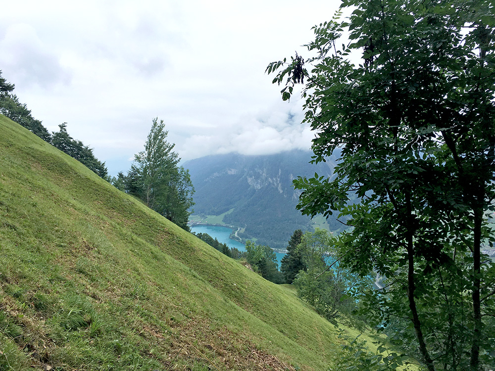
A view at last over Lungerersee and you see also how steep the mountain is that we are climbing here.
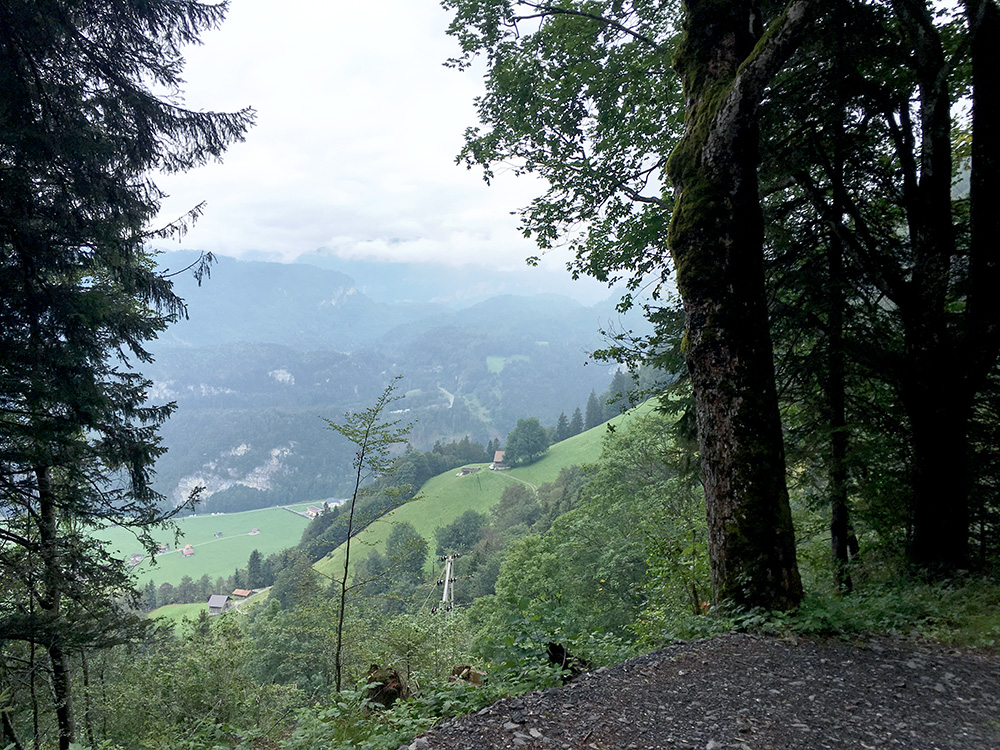
A view down over the Brünigpass hazily in the distance.
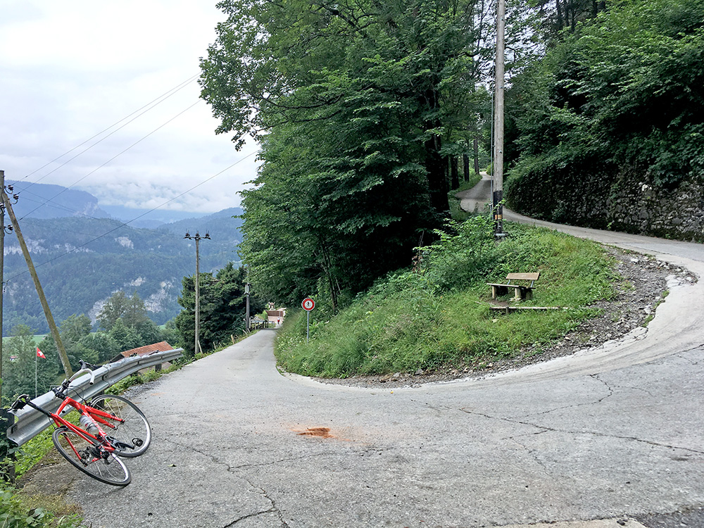
Maybe the last bend before the road went back down to Obsee (702m) and Lungern.
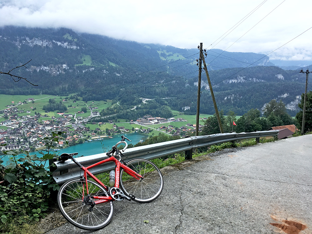
We see Lungern now. Down in Lungern I stopped now at a bäckerei and and had a cake and coffee (the lady was not particularly nice I remember, but well, the weather was also gloomy).
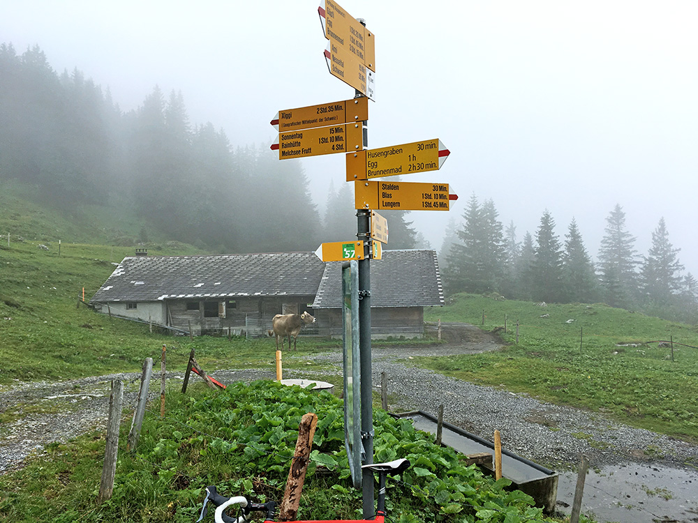
A bit insane, but there was one more climb from Lungern (712m) up the other side to a pass (no pass name that I know though, but clearly a pass) at Hüttstett (1662m) and I had figured out it was all paved though have not seen that mentioned anywhere at all, so I was curious. Here at the end at the sign in the clouds again.
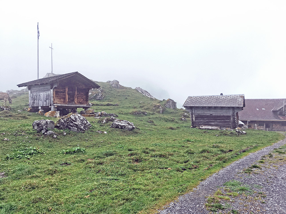
Luckily this climb was not as steep as the Üsseri Alp (Breitenfeld). It was actually a quite enjoyable road to climb and very nice at first. I knew there was some uncertainty about the pavement for the last serpentine up and I was right about that. The surface gets less good at the second to last bend at 1515m and soon the pavement is packed waste from asphalt pavement, which becomes like asphalt when used for a while and so it was and I would call it asphalt at this stage, but it is less flat and nice and there are usually a little stones on there, but it was unproblematic to the top.
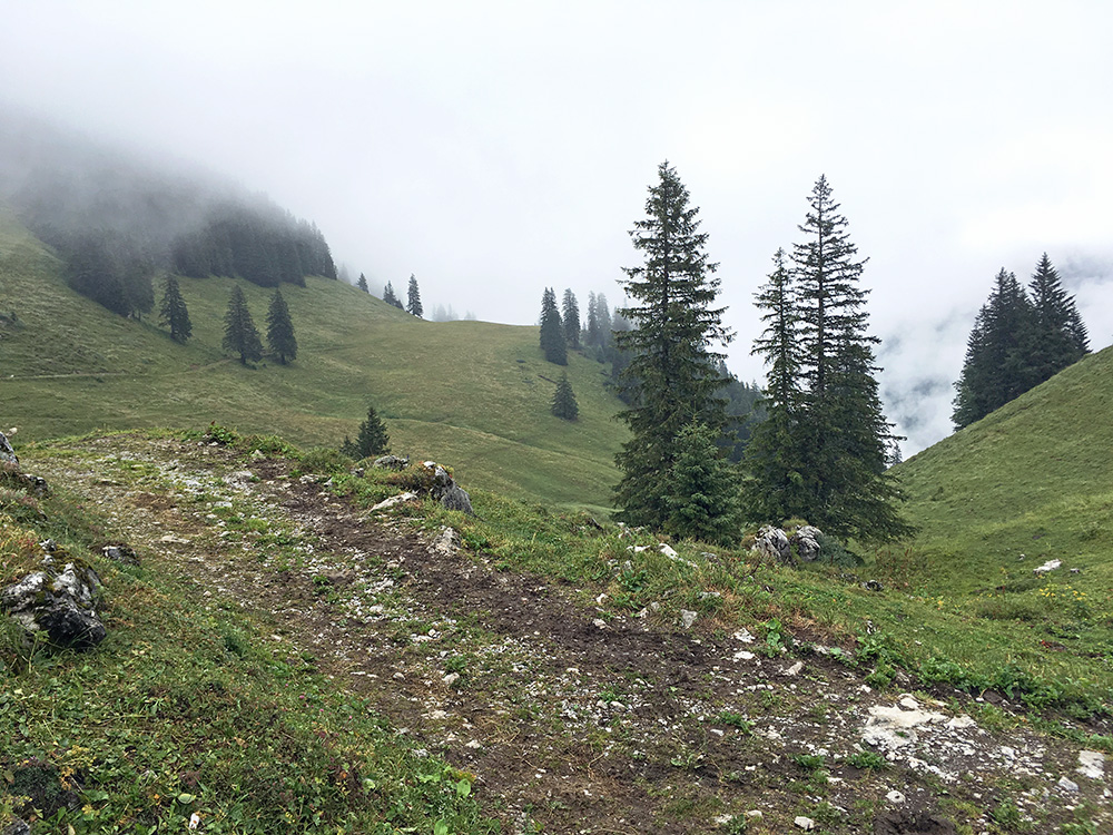
walked and took a little look down the Klein Melchtal, but did not see far there either. There is only a very rough track down there, but there is a paved road if one eventually gets down to the valley. I turned around.
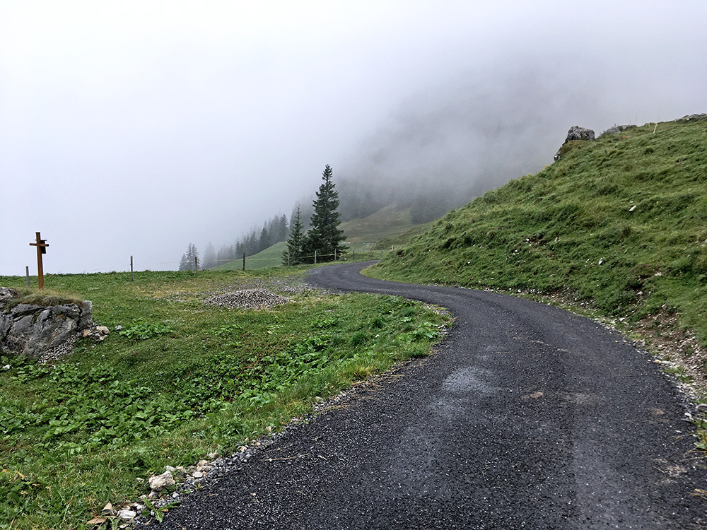
Documenting the surface of the end of the road. Should be fair views from up here in good weather, but maybe the best views are anyway lower down.
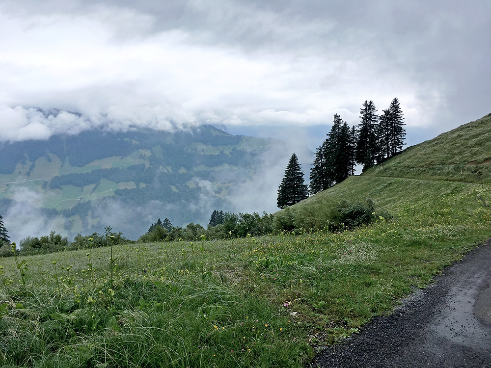
Down just under the clouds.
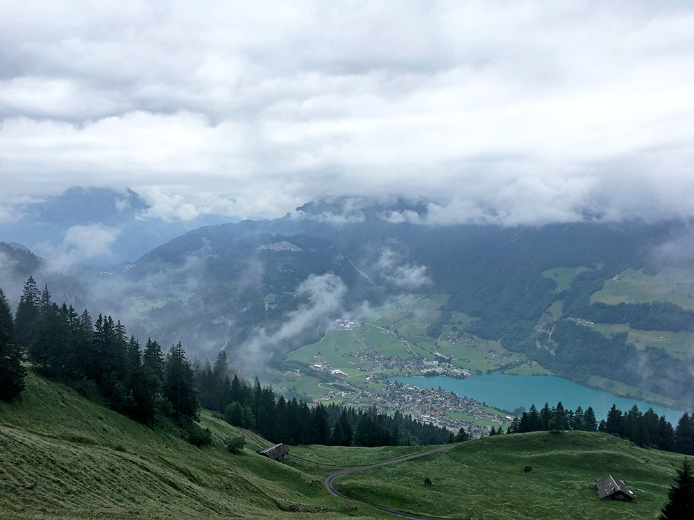
View across southern Lungerersee and across to Breitenfeld still in the clouds. Brünigpass is seen a bit clearer from this side now.
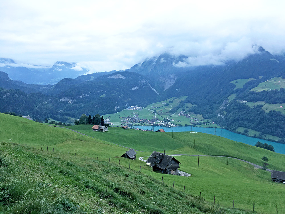
Same view lower down.
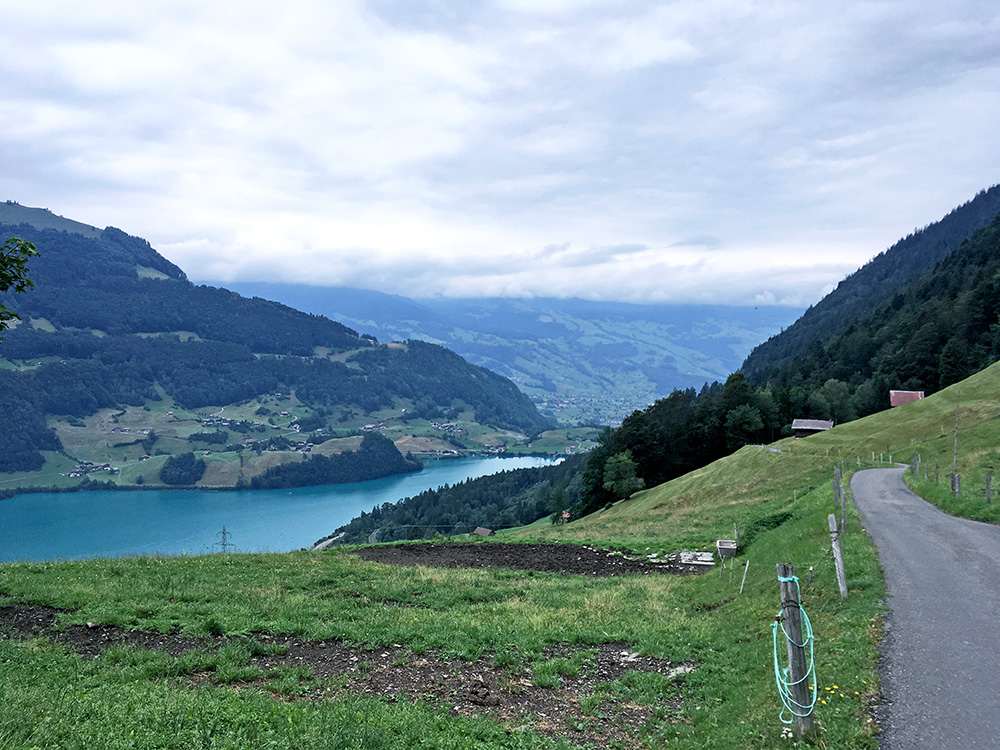
Finally a view ahead of the northern part of Lungerersee and the slopes in the distance are up to Glaubenbergpass.
I took the main road down to Sarnen. Slightly confused for a while as I tried to take the best short-cut road and lost the time that could be saved by that, but got there. Then the busy road up to Kerns (564m), where I stopped again for a coca-cola at a grocery. I felt a bit hurried as if I should have a chance going back to Bilten on this day meant that I had to hurry no matter how I went about going there. The idea was to finish in a great way with going over the Pragelpass (1550m) for a second time and from the more demanding west side and hopefully have weather for photos, which I did not have on my previous visit in rain. However, that would mean over 200 km of cycling including the other climbs I had already done this day, so not likely and I knew it long ahead.
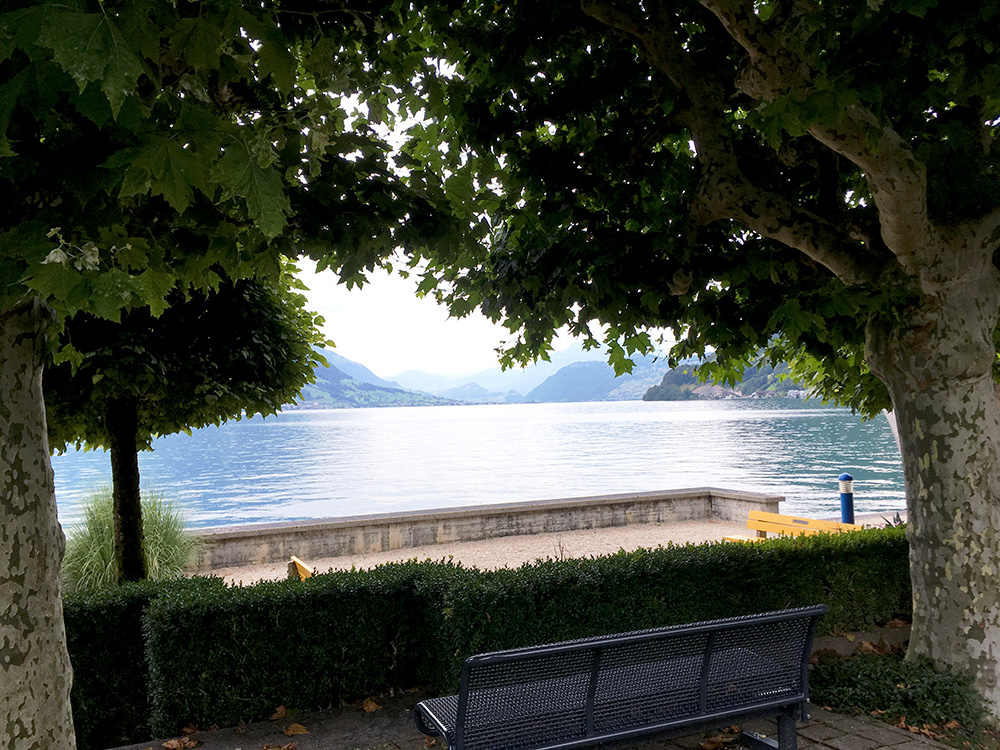
Full speed down to Beckenried by Vierwaldstättersee to take the little car ferry over there (fastest way). It turned out that I was lucky and had 10 minutes to get something to drink with me from a nearby grocery before the ferry left and I think it was the last for the day (had no idea and did not want to spend time looking it up on the way there if I should miss a ferry).
The ferry ride was nice and relaxing. I had some funny conversations on the way over with one odd guy who was mostly walking around Switzerland, though being from the area and without job, girlfriend and money and talking about conspiracy theories etc., while another passenger (a nice gentleman) tried to divert conversation away from that guy and instead to talk about the Ballenberg and all the nice touristic places in Switzerland, but most of all he was interested in Ballenberg that he had visit this day and was concerned I did not know about what it was and showed a map etc. All right, always nice to talk with people. Here is a photo on the way to Brunnen after leaving the ferry in Gersau on the other side. Vierwaldstättersee might be the nicest see in Switzerland and have so often been around it now that I feel I start to know it.
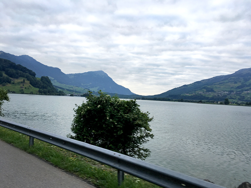
Well the clock was closing in on 20:00 in the evening as I went through Brunnen and as the man suggested on the boat, it was probably best to go to Arth-Goldau to take a train back from there (an idea I had thought about myself too). I definitely now gave up plans on seeing the Pragelpass (still cloudy up there and it would get dark before I reached the pass). I was also thinking of maybe taking the easier road that the train takes over Biberegg/Sattel (933m), but it is still a bit of a climb from Brunnen (438m) and it is also quite long afterwards, so it had to be the train after all. Followed a quick girl out training in the evening up to the turn-off by Lauerzersee in the photo here, looking up the Rigi mountain that I have been too before.
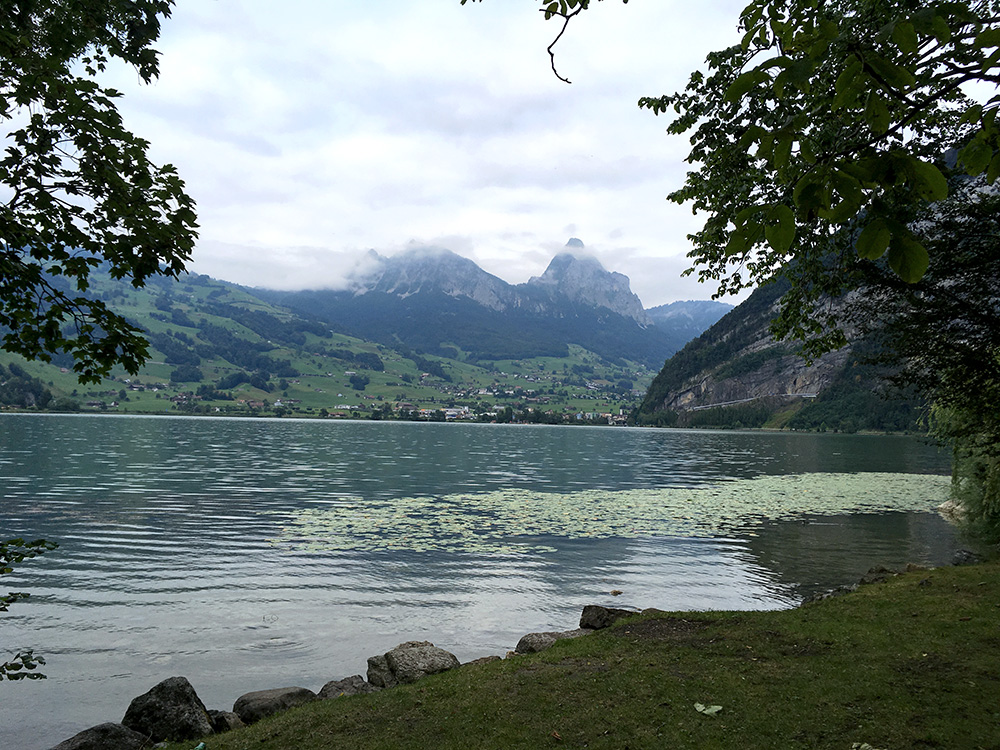
Here a last photo for the day from Lauerzersee looking back and up the Mythen mountains above Schwyz. Went over the Bernerhöhe (556m) (where the road up to Rigi starts) to Arth-Goldau. It took some time to figure out when the train was leaving and getting the right tickets, but eventually that went fine, but had to wait some time, so decided to have dinner now (a pizza near the station).
I went off the train at the station before the end at Ziegelbrücke at Schänis (422m) as it was slightly short back up to Bilten from there, now in the dark. I got back fine and slept well. I was wondering a little before going to sleep if there would be time for some cycling in the morning too as my plane left rather late at 19:00 from Zürich to Düsseldorf in Germany. I think I borrowed their washing machine and talked about it already in the evening and we agreed upon some things I had to keep in mind regarding keys, doors, etc.
