So, waking up at 4 am and seeing that it was full storm outside, I decided to go back to sleep. It would have been kind of nice to be able to claim that I did the Pinarello Gran Fondo race the day after the 5 climbs up the Monte Grappa, but sometimes one has to be a bit reasonable … . I slept on until I woke up for a late breakfast and shower. I rolled down to Bassano del Grappa in the cloudy weather. Now it was perfect temperatures even down here. I had thought there would be more debris on the roads then there were. Maybe the storm and blizzard had been very local. The roads had just dried up. I went down to find a café after the meager breakfast at the hotel.
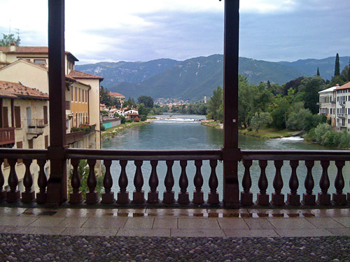
Then I went down to the old bridge in the centre (which was a little difficult to access) where I took the photo here. After all I was a little happy that I got an unplanned day to make plans for as I could now do a climb that perhaps ideally should have been done before getting to Bassano up the Asiago plateau. Sella di Campomulo (1617m) is one of the few asphalted passes in the Alps above 1600m that I had not been to before. I was also curious about a road up to Rifugio Barricata from the Val Sugana and if it could be reached from this side. I read about he climb on an Italian forum for cycling in the mountains, but had not found any information about the south side on the Internet.
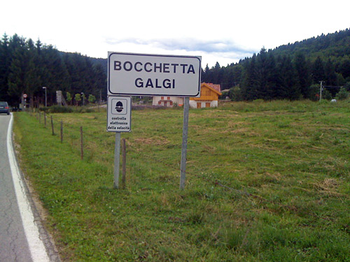
I went very slowly (being tired since yesterday) up the same road I had descended to Bassano from Conco, but turned off the road a little before Conco to get to Rubbio. At Rubbio I already decadently stopped for lunch (which took a long time as the place was filled with people). Up here there are quite nice views over the flat lands southwards. I continued up a little to get to a small little pass, called Colle Zolina (1118m). Then there was a short descent to meet the pass on the main road coming up via Conco – Bocchetta Galgi (1054m) (sign just before reaching the main road) and Passo Stretto (1061m) (located at the high point after continuing toward Asiago). I am not sure if these are both passes, but at least the Stretto pass is correct, I would say (maybe the name refers to the same pass or maybe the first is no real pass).
Up here it is wooded and not particularly interesting. At Turcio (1085m) I turned off to Gallio (1084m), where I stopped for an ice cream and coffee. Then I started to feel better, but now I had the only steeper section of the day to tackle. The first part up to Sella di Campomulo (1617m) was somewhat steep and also a stretch filled with traffic, likely due to the fact that this was a Sunday and the weather was now getting sunnier. After a parking the traffic was less problematic and also the road was nicer and flat here and there. As long as there was asphalt on the road I knew I was still not at the pass, but eventually I realised I had reached the pass (without any sign) and the asphalt ran out just a hundred metres after this.
This is not much of a pass as the landscape is more like a high plateau which slopes down from here in both directions. The views were ok, but not exactly spectacular and only at the top itself. So this pass is not so interesting, but now I had been there too.
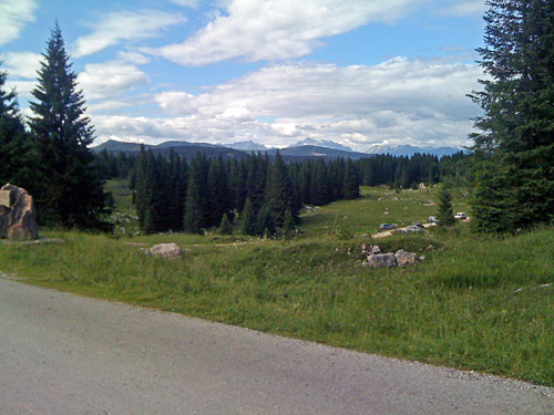
The question was what I should do next and that was something that question had occupied me for some time during the planning. I had heard about the climb to Rifugio Barricata and it should be an interesting one if coming from Val Sugana, but if I tried to get over to Sella di Campomulo from there, then I would not have done the more important climb (to me for this tour) from the right side, even if I could have gone via Gallio, but then I would have had to go back the same way from Campomulo, so no good. I know that there should be at least two alternative ways to get from Campomulo to Barricata, but had not been able to get any information on the best connection. First I thought about going ahead here at Campomulo as that should be the shortest way on the map, but something told me this might not be the best road and that I was also more likely to find the way there without problem if I took the road going off before the Campomulo pass. Finally the latter road includes another pass, which made me curious to try that road.
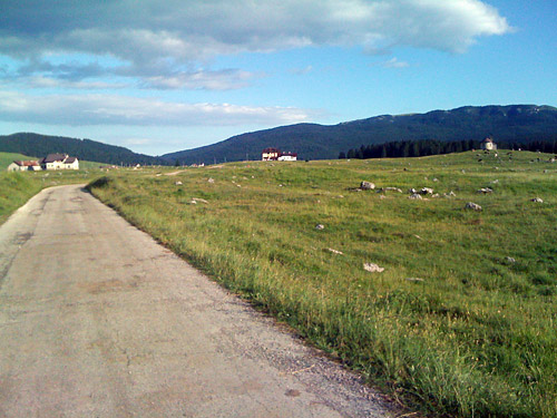
Just as I started out on the gravel road taking off east before Campomulo, I met two mountain bikers and asked them what they thought of the road and for how long it was gravel. They said it was okay up and just over the highest point, the Passo di Sbarbatal (1602m) one kilometre into the road, but that it was a bit less good then and lasted for ca. 5 km. This was pretty correct apart from the fact that the gravel road got less good even later and that it seemed more like 6-7 km after the pass. It would likely have been much easier to go straight ahead and then left after Campomulo. (With a mountain bike all these roads are perfect.) But I managed to cycle throughout and all without having a flat.
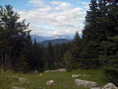
I had expected to find more gravel road over the top of the plateau here, the Piana di Marcesina (1373m), but now I was pleasantly surprised as the whole road over here is asphalted and there may even be two variations coming from the south/southeast that are fully asphalted (one from Valstagna-Lazzaretti and one from Primolano-Enego via Enego 2000). So this is the second of only two possible passages over the Asiago plateau between north and south, the other being the well known road over Passo di Vezzena (1414m). This should be news to many cyclists (and others) as to date I have seen no such mention anywhere, even though local cyclists likely are aware of it.
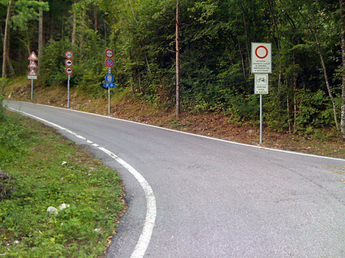
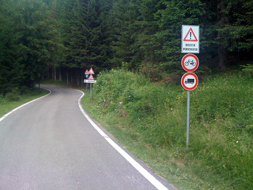
So now I got more happy again. The road over the Piana di Marcesina was also quite nice in open landscape. This was much nicer than the Campomulo road. Eventually I got down a little and passed by Barricata and here first I realised that the whole stretch was asphalted. Now, I soon got to see a lot of signs (photos) suggesting this road was not allowed for cyclists and I thought it was kind of strange as cyclists have been going up here. Well, surely I was not planning on going back whatever tickets someone might decide to give me, so no second thoughts here before I continued. I wanted to see this road and after a turn in the woods I got to the descent. I had guessed that the road might be dangerous, just as the road signs suggested, so decided to be very careful.
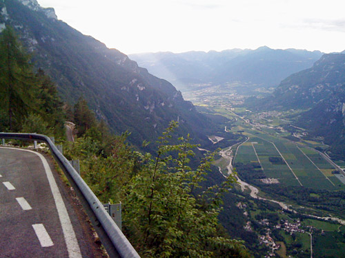
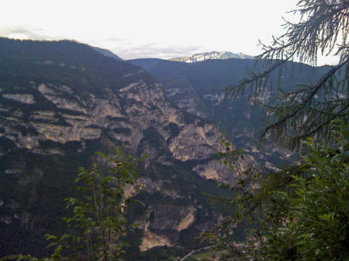
Now, I could only say this: I have never descended a more dangerous road ever. This road is more dangerous than you can believe from my description. Even going down against the traffic from Stallersattel/Passo Stalle is not very dangerous compared to going down here without any traffic at all. Chances seemed like close to 50% that you will smash up even if you have no traffic at all and if you meet someone, you better have luck and not meet them at some of the most hopeless places. I mean, I went under 10 km/h and was nearly not able to manage one of the bends! So you have been warned! This road makes sense to stop cyclists to descend and if you do it anyway, all responsibility is on you. Now I do not think that cyclists actually should not be allowed to descend as car drivers apparently are allowed down here and even if it might be slightly safer with cars, I guess it would be enough with serious warnings and signs telling cyclists that all responsibility is on them. Anyway, most cyclists will want to go up here and down the other side and so I hope most will do! I would have wanted to do it too, but now it was a bit fun to have managed this. Also, I met no one on this descent even though it was a busy Sunday! This road is not exactly well known and was apparently asphalted only some years ago.
The views were hilarious on this road. The road is mostly cut into the rock wall. One comes down to Selva, where signs says it is okay to bicycle up, but not down. The road up from Grigno looked inviting and it was apparently not too long ago reopened after having been closed for many years. I had planned originally to go up here and then over Passo della Baia (1170m) to Arina (probably a gravel road of unknown quality) and then over the classic Passo Croce d’Aune (1018m) and even do the horrible Monte Tomatico (1236m) climb, but they will have to wait for another visit. I had planned that route for the day after this, but now thought I had saved a day that I could have in reserve for later, but it turned out that I yet again had managed to overlook that two days in my plan had the same date (even though I had checked for this). Two July 23rd – damned, but it forced me to some good decisions and since I had saved a day I was at least on schedule … .
I had read about the bicycle path recently completed from Bassano through the whole Val Sugana and decided to try it out as I also came onto it right away when coming from Selva. I was close many times to take the wrong road, but managed to find it for a long time, but must have lost it later on, which did not surprise me at all, given how stupidly these are always planned or maybe I did take the right road. The bike path was nice in parts, so could well be used. It was a rather long road back down to Bassano and Romano d’Ezzelino, but now I was cycling fast again. Time has flied by and I was not back in Romano d’Ezzelino before 20 pm. I managed to find the clever road over Pove del Grappa, but as I was cycling down on the west side of the river and the busy SS47, I had to cross both at the right location and go along the SS47 for some hundred metres. I had something to eat at another restaurant this evening and went to bed. Tomorrow it was time to continue east and do a full day of cycling again!
