Time to close in on the more central Alps. But first I had two passes more in the Jura to visit. With a little cheating I was going to collect two passes that could be a little challenging if approach from the area of Yverdon-les-Bains, but I was taking the ridge way there (or not far from it). After breakfast I went on the correct sweet little road right into the forest area separating France and Switzerland. The Refuge-de-la-Joux that I had thought might be a place to stay at for the night looked like it was only a small wooden shed to store firewood in, but maybe I did not see it. Suddenly the asphalt ended and there was a barrier across the road. I crossed it and continued on the forest road that has a bend after the barrier. I knew this bend was interesting, since here I would be getting close to the border and there should be a path soon to the other side.
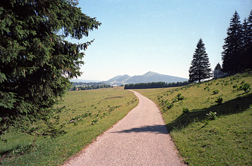
I continued a little after seeing a little path to see if there was a more obvious path further on (and I thought it should be a bit later). Luckily I here met an old woman out walking and she happened to have a walking map with her and tried to explain where we were. Finally I realised (just when I thought she was wrong and I was right) that maybe she was right after all and I returned and then heard a car nearby on the other side and could even partly see it between the trees. I did not realise that I was only 100 metres away from the asphalt road on the other side (which is very little used). It also turned out that the woman was actually taking the same path … . One could almost cycle on the flat path. You cross the border that is marked with a lines of stones on the ground and some paint (I think). I waved goodbye to the lady and continued up the lonely asphalt road the 100 height metres to the top. The top of the road is at 1293m and if you take my way here you only climb from 1192m, but after the top, which is not the pass, you descend to 1284m and then climb a steep ramp to the real pass at 1320m, so there were a little climbing at least. The climb from Baulmes (620m) has 5 km with a really hard climb at above 10% on average.
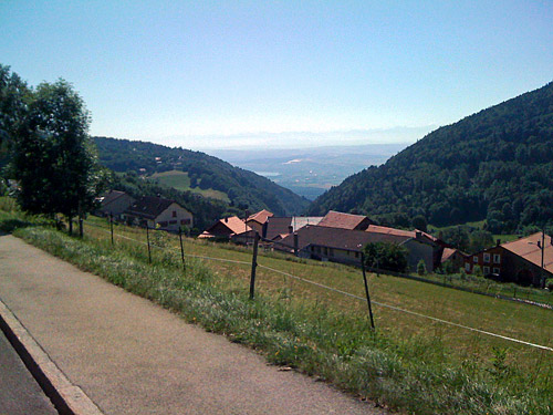
Up on this even narrower road with beautiful views, one can continue ahead to upper Ste Croix (1105m) and then there is a little stretch to the next pass, Col des Etroits (1152m), on the busy road coming up from Yverdons-les-Bains here. (One could also descend to L’Auberson, which I by mistake first started to do, but then was not sure where I would get and returned back. It would have been smarter to actually go down to L’Auberson (1100m) if one was on the way to Yverdon and wanted to get to the Etroits pass, but I did not realise it then.) Col des Etroits is not of much interest. I managed to get the bicycle fall to the ground and get the front ring into my leg while taking a photo of the pass sign, but nothing broken. I rolled down to Ste Croix for a yoghurt and coke by a shop there, before I proceeded down to the hot valley below.
There were nice views on the way down, but also heavy traffic. Down at Vuiteboeuf (590m), I stopped to fill up water and exchanged some words with a local cyclist heading up the Etroits pass. I said I was on the way to Col de Chaude (1621m) and he said he had gone up there several times, but had never managed to get up without stopping along the way for some rest. He was not totally convinced I would really do it this day as it is not really nearby. I was in positive spirit again as I felt I was now really heading to the central Alps with the white-peaked mountains.
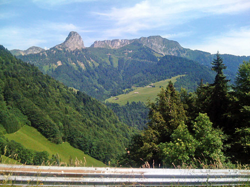
It was not far to Yverdon-les-Bains (435m) by the Lac de Neuchâtel. I did not think about stopping here and just went through the city, which was remarkably easy. The stretch from here to the mountains ahead was a bit longer than expected and it also included a lot of climbing up and down some ridges. After the high point at Thierrens (806m) it was down to Moudon (510m), where I stopped again by a grocery store. When I came out again my bicycle was a bit blocked by other bicycles. Some Danish guys had stopped by on their way to France to see Tour de France at Avoriaz (above Morzine). They had bicycled with much packaging all the way from home in Denmark.
We said goodbye and I continued on my way to Châtel-St.-Denis (809m) and now the mountains were coming closer. I stopped here again for coffee and cake at a decent café in the central village outside the square. There were only one other guest there – an older man who had leaned his old road bike (from the 70’s?) against one of the windows. I leaned my bicycle against the window next by and sat down inside. I cannot understand cyclists who stay outside when they stop at cafés and the like – don’t they get enough sun as it is? I found the correct small road down toward Montreaux, which is a good one to take there. I had to descend ore than I had thought and stopped to look on the map to make sure I went off up the mountains at the right place as there are many roads down here. The idea was to turn off this road at Brent (566m), but think I turned off later down (ca. 555m) as I remember crossing the railroad down here.
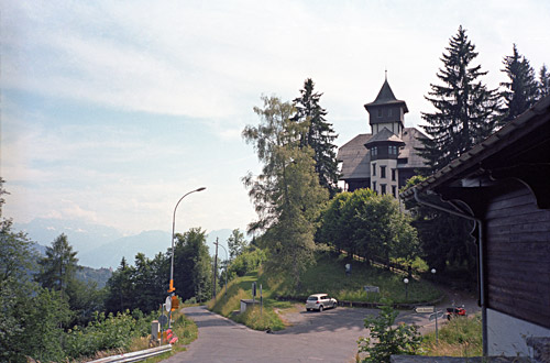
The climb up the mountain here is on steep roads lined with houses. I made a wrong turn further up and asked some people at the house if I was on the right road, but they did not know the area. After a while I reached a bigger railroad station well placed and here the different roads up the mountains meet. From here it was easy to understand how to proceed. I was turning left as I intended to climb over Col de Sonloup (1149m) to descend the other side and then to continue up the mountainside on the other side to the well-known Col de Jaman (1512m). Later I again had to turn off the road to get up to Col de Sonloup and I do not think the road was sign-posted, but it was somewhat obvious. Here it started to get really steep (after a stretch of rather flat road). It was warm today and I did not get a grip in the asphalt at some places as the tarmac had melted and the slope was around 15% on a very narrow road.
The Col de Sonloup is somewhat uneventful and the asphalt road even continues up here steeply (but not so very long, I think). One could probably reach La Forcla (1622m) with a road bike and the road looks good from satellite photos (it looks asphalted), but the roads should be gravel for quite some stretch. No idea if one could also possibly go up here to Col de Soladier (1576m) in the other direction with a road bike, but the gravel road looks good in satellite photos too here and this road goes over to the Col de Jaman road and would make it possible to reach the Jaman pass a little easier (maybe).
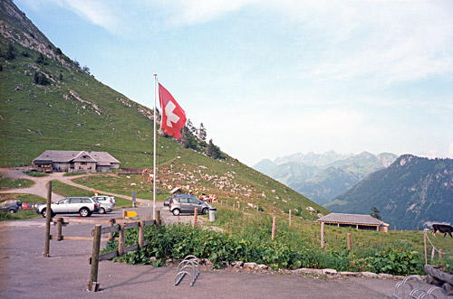
I went down the other side to Les Avants (1001m) and here the hard part of the Col de Jaman (1512m) climb starts at once with gradients up to 20%. Then a little flat again and then a turn-off for the pass with an advertisement for beer at the restaurant at the top. The last part is steep as well, but not so long. I stopped at the restaurant and had a big beer – for once the advertised product was right on. You could not drink too much up here though as you would need a little concentration to get back down again safely! Up at this pass the views are lovely over Lac Leman and also toward the other side.
I had curious plans though for the next climb. I had thought to save me a trip down to the lake by making a short-cut up here. A little cheating it was to not descend to the lake and climb the Col de la Chaude from there, but the cyclist I met in Vuiteboeuf had said that would not really make things much easier and it would turn out to be rather correct. The best thing with this was exploring some really nice roads with good views and little traffic. The road to Caux (down to ca. 1060m) is probably the most used road for getting up to Col de Jaman and this road was normal width and very good. Here I found at once the obvious continuing road along the mountainside, crossing the railroad through a little tunnel. This little road was lovely and no wider than 2m, but asphalted. I hoped it would continue like this as I had not been able to confirm whether the road would be asphalt or gravel beforehand, but had thought it would be asphalted.
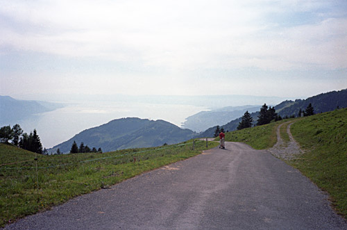
The road turned into gravel eventually and I think I had to get over a barrier (turn-pike). The gravel was also not the best, but just about usable with a road bike. Unfortunately it got a little less good and also started to climb again before reaching the highest point (where asphalt returned) above Sonchaux (1258m) just as I had gotten really tired of the gravel in the woods. Actually when writing down this I now realise that I was taking the wrong road and that the right road might very well have been asphalted. I never went down to Caux, but instead turned off earlier at Les Echets (1155m). Looking at the map the situation looks very similar (but no tunnel for the railroad lower down), so it is easy to make this mistake! So I was actually climbing up to Creux à la Sierge (1420m). No wonder I thought I was somehow fooled by this being a shortcut as I had to descend a steep road seemingly forever from here. The road from Caux to Sonchaux is likely much easier.
Anyway, the steep! descent was over at 1010m and the full climb would have started down at Villeneuve (375m), so surely I did save myself some hundred height metres of the climb up to Col de Chaude (1621m). The difficult part of the Chaude climb starts soon after this crossing with gradients often around 14% and worst of all was swarms of insects wishing to sting me as much as possible on the steepest parts where it was very difficult to fight them off while climbing at the same time. I had lots of stinging insects all around the Alps this Summer and guess that is one bad side effect of having good weather. They really make things harder (but maybe I am also a bit more allergic to these bites than most people). This is a hard climb indeed – much harder than the Col de Jaman climb. The views from the top are great too. There is nearly no traffic at all.
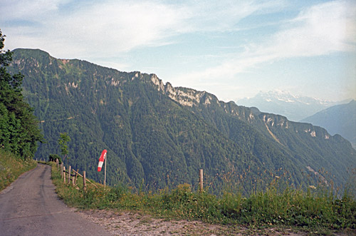
I was down in Villeneuve in no time after some photos at the top. The road goes down to a farm on the other side, but it would be a very long hike down with a road bike to get to the asphalt road far below on this side. The last stretch down to Villeneuve was actually a steep ramp. Luckily it was no longer so hot down here as the clock was now around 19 in the evening. I continued toward Martigny, finally leaving the area of Lac Leman. An older man joined me on his evening bicycle ride and I told him I was hoping to find a place to stay the night at in Yvorne. He showed me the way to the hotel there. One of the two in the village had closed down as a hotel, but I went to the other one and said goodbye.
It turned out that the hotel was fully booked and that there was no other place to stay the night at in Yvorne. I was also told that in bigger nearby Aigle there were also no hotel rooms available. I asked if there was a place to stay the night in Corbeyrier (920m) above on the road I was going to take next, but they thought the hotel that used to be there had also closed down. I decided that I would try and see if maybe there was a bed and breakfast or such up there and decided to go ahead and if nothing else, then simply continue until I found a place, possibly in La Lecherette (1379m).
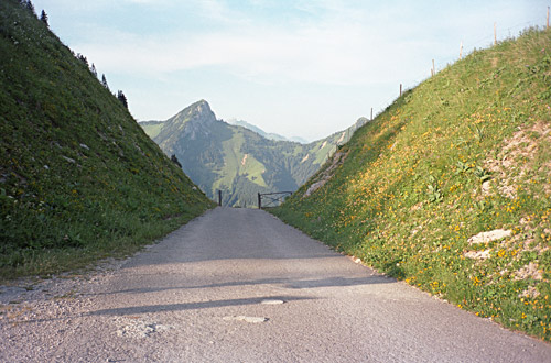
I started out with the intention of hurrying so I would get to Corbeyrier at least while it was still light outside. I saw the direct road up the mountainside and took it. It went straight up through the vineyards, but got increasingly steeper and the last little stretch up to the normal road was probably the steepest stretch of asphalt for this whole tour this year at ca. 27%, which I just managed to do as it was short. Then the road continues wide and good with moderate steepness to Corbeyrier and I could go at a decent speed up there.
I managed to hold my expected time schedule and just when I came to Corbeyrier I indeed noticed a bed and breakfast, which looked perfect. However, this day it was closed. I even rang the bell, but no one there. I went back and continued up through the village and was looking around for another possible place to stay at. I met two persons standing talking in the street and I asked if they had any suggestions of where to stay or if I should continue. They really thought the B&B was open. They did not think there would be any other place to stay at before La Lecherette, which would probably take like two hours to reach on the bicycle from here (when the dark arrived I would have had to go slower).
After some discussion they offered me to stay at the lady’s house just nearby. It is difficult to say no to such offers and it would be more reasonable to travel on the lonely road above when it would be lighter outside, so I happily accepted to stay here.
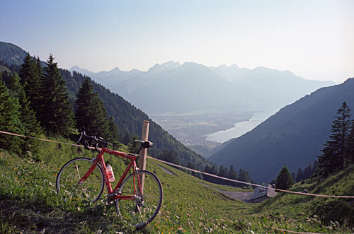
It was a nice older couple who had some help from a girl working for them, though they seemed mostly just like friends. Someone else from nearby was visiting them and they had just been sitting out eating some evening meal and I got something to eat as well. For some reason I was not very hungry tonight. We talked a lot and it got dark long before we went inside. I especially remember they offered me some home made juice prepared by using some of their garden flowers – it had a very special strong taste and I could pour water in it many times and it still had a strong taste.
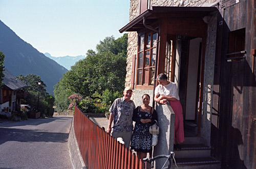
It was a lovely stay and I am very happy for the generous hospitality. They wondered if people in Sweden was as generous and the girl helping them, who had been to Sweden, said they were clearly not. I must agree that Swedish people are not the most generous around and it is usually no better outside cities, unlike down here. There are always exceptions and exceptional people everywhere though. I forgot to take their address, but maybe someday someone will let them know of these web pages or I will have to come by again as this was a very nice road. The last photo was taken in the morning the next day as I was leaving.
