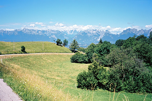
It is hard to top the wonderful start of this day. It was perfect weather this morning and it is very beautiful up here around Spert. If that was not enough, the nice lady running the hotel had prepared a sandwich for me to take with me on my continued journey with her lovely salami (which I could not refuse to bring with me despite the extra grams in my backpack and anyway I guess I had lost some body weight since I started by now). Down at Lago di Santa Croce, it was starting to get hot in the sun, but I was not going to linger down here. I went a bit back down toward Vittorio Veneto by the lake (393m) and turned off on a very small road up the mountainside up to Cornolade in order to climb up to Nevegal.
Actually I did not decide whether to go up to Nevegal before I came up on the main road to Nevegal from Belluno, when I did not want to go so quickly back down to the heat in the valley below. One could use this road as a very awkward short-cut to avoid Belluno. The road up through Cornolade is quite steep and I was not sure it would all be asphalted on the most direct road above, but it was. Once up at the crossing (721m) with the main road to Nevegal, the climb is much easier. And as one closes in on the Nevegal (1029m) (a little pass), the road is almost flat and you are close to the forest. One could go up further among the ski hotels up here, but it did not come across as very interesting, so instead I decided to try and go ahead on the road I had first planned to take via Tassei (542m) and Valmorel (791m) (also a pass).
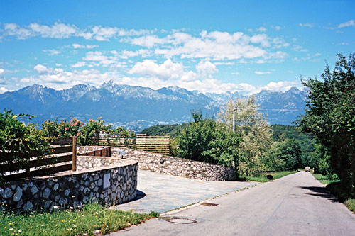
After a short descent the road turns to gravel and I wondered if it was a good idea to take this road. A guy came up on a mountain bike and I asked him if the road was okay. He said I would not have much problems and the road would become asphalted soon again, so I went on. I think it was only 2-3 kilometres before the asphalt returned and just before I had met a guy and a girl on road bikes also travelling this road, so apparently it was deemed fine for road bikes by most and there were no problems.
It is quite a nice little road out west from Nevegal, but it is not flat. It goes down steeply to Tassei (542m) eventually and then it climbs up similarly to Valmorel (791m). I was a bit confused at Valmorel, but decided it would be best to continue west a bit further so that I would get down directly to Trichiana and thus I climbed via Pranolz (843m) before descending (there is possibly a pass at ca. 733m here also). On the way down to Trichiana I stopped for another photo (should have taken another photo along the road from Nevegal too). Shops were closed for lunch at Trichiana. I continued along the main road to Feltre and stopped just before Mel (281m) as there were an all day open shop here and had a pink grape schweppes, some fruits, yoghurt and the sandwich I had brought with me from Spert.
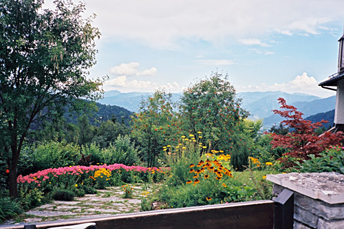
I had looked on the map and it seemed as good to go through Mel and so I did. Though I was close to hit a car on the steep descent to a bridge when going out of the village. Then back on the main road. At Feltre (275m) I became a bit undecided, but wanted to stop for a coffee and ice cream and went down to the centre of town and finally found a good little café serving coffee and great ice cream.
From here it was rather easy to find my way out and on the slowly rising road that turns into the road that climbs the Passo Croce d’Aune (1018m) at Pedavena. The climb to Croce d’Aune is not very steep and is on a good and wide road. View are not remarkable here, but the pass is well-known in bicycle history as it was here that Tullio Campagnolo got the idea of a quick release for bike wheels. See here for some more information and photos of the memorial that I missed to see. (I have always been a Shimano fan, but surely no cyclist can downplay the importance of Campagnolo. Shimano is only a relative recent challenge to Campagnolo and follows the basic functionality developed by Campagnolo.) I went up a bit above the pass on a side road to get a little better view for a photo back down over Feltre.
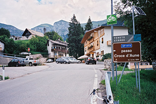
The nicest part of the Croce d’Aune passage is on the other side and the descent here was nice on a smaller and steeper road. The road becomes flat for quite some time as it passes by Servo and Sorrivo, where it descends to Ponte d’Oltra (409m) on the main road up to Passo di Rolle (1973m).
I crossed the bridge and went up the mountain road on the other side to Lamon (609m). Apparently the road over the Le Ej (1279m) pass is all asphalted (looking at Google street view apparently 200-300m on the top is gravel), but I was on my way to another obscure pass in the area, namely the Passo della Baia (1190m) above Arina. I stopped in Lamon by a small grocery and had a coca-cola and something else. I later noticed there were several shops open in the area. This is a very nice area where few tourists seems to stop by. I descended to a bridge at Ponte Arina (415m), where the main road climbs up to an unnamed pass on the Passo di Brocon road just above Castello Tesino. Just before descending to the bridge you will see the village of Arina looking spectacular up on a mountain (see photo). This is on the way to Passo della Baia. The climb up to Arina is on a very nice road that climbs steadily up through serpentines. One can turn into Arina and possibly take a short-cut on an even steeper road up at some points, but there are signs suggesting the road is private and occasionally one-way, so thought it was better to stay on the main road.
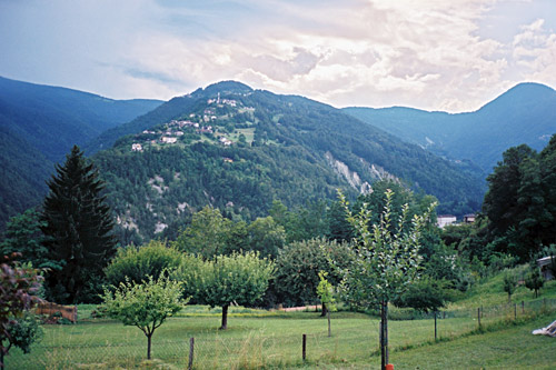
It had been virtually impossible to find any information online on this road (and there is nearly no information on any of the roads in this area for some odd reason). I had it more or less confirmed by some mountain bike page that the pass itself would be on gravel surface and likely the asphalt would run out before the pass around the border between Veneto and Trentino. The road continue steeply up to Osteria Cavalea (1043m) (also a pass I think), where I thought the asphalt would possibly end. After a flat little stretch the road continues climbing up through the woods, but still on asphalt, even if it is in a very poor state now.
It turns out that the TCI 1:200 000 map most suitable to use for bicyclists in Italy, is quite correct here and the asphalt ends around the border mentioned earlier, which is located a little before the pass. There is a switchback up where there surface is not ideal for a road bike, but it is passable and the whole road could be ridden on a road bike for sure. Once up at the pass the surface is good gravel and continues so for a little over a kilometre gently down to the Celada pass (1163m). I wondered if I should descend to Castello Tesino right away or stop at the restaurant here as it started to rain and heavy rain had been obvious in the vicinity in all directions since I came to Lemon. Arina was just out of the rain area, but the heavy clouds were not far away and I had wondered whether I should be able to get to Celada without rain.
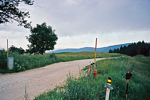
It still did not rain very much so I decided to make a quick descent to Castello Tesino and take shelter there if it got worse. It is quite amazing how fast the weather can change in the mountains. I was not even half-way down the little stretch to Castello Tesino before I was all wet in a heavy rainfall and there were absolutely no place for shelter along the way. When I was down in Castello Tesino there were not one dry spot on me left so I could as well just go on. Thankfully it was no going up again to Passo Forcella/La Forcella (909m) from ca. 791m. So I tried to get a little warm before the long descent on the other side where I have travelled before.
I stopped raining when coming to La Forcella. That was nice, but it was still cold to descend all wet. I stopped in Bieno (820m) to have a coca-cola before all shops closed. It was now 19 in the evening and I rolled down to Strigno, Scurelle and then to Castelnuovo (353m), where it was warm and dry again. Feeling a bit down after the chilly adventure I just went on and tried to get warm and get as far as possible before I had to stop for the night. I followed the main old SS47 road, but took off up to Roncegno Terme (488m) (for some reason – just relied on hazy memories of the map that I had no wish to consult now). It was mostly a detour that got me a bit warmer as I anyway did not want to stay here, but thought I should at least get to Levico Terme (520m) before the night. I had not remembered that the road would go up most of this way.
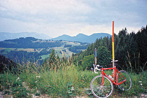
Eventually I reached Levico Terme, where I had planned to go up to Vetriolo Terme and Panarotta, but had dismissed on the way here. But I had earlier hoped to get up the road across the valley to Albergo Monte Rovere (where I had stopped over night another time) and the road up there should be outstanding. It now was a bit too late for it to make sense going up there this evening and instead I had to find a place down here and maybe take that road the next day. Levico Terme did not look any good though, so I continued according to some thoughts I had to Caldonazzo (480m) on the other side of the valley.
I was determined to find a place there and the village looked just right somehow. It took some time of circling around the village, but finally I found a hotel in the centre that had reasonable prices and where I got a pizza to eat for dinner. It is a rather small village, but relatively nice to the more busy places nearby. I decided during the evening to forget about the road over Monte Rovere and move on. It is sometimes hard to make up good plans when one is tired and being forced to really make good decisions. The idea was that I was supposed to get to Milano the next day via train from south of Lago di Garda, so the question was how much I could hope to do in the day and of course I always have too much optimism, but went do some nice things the next day anyway!
