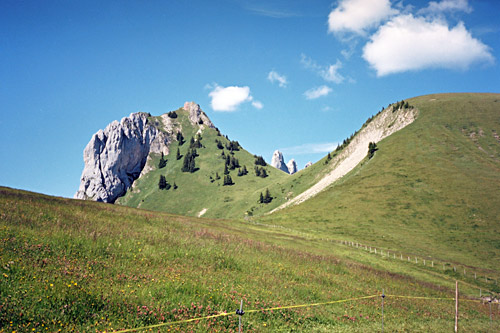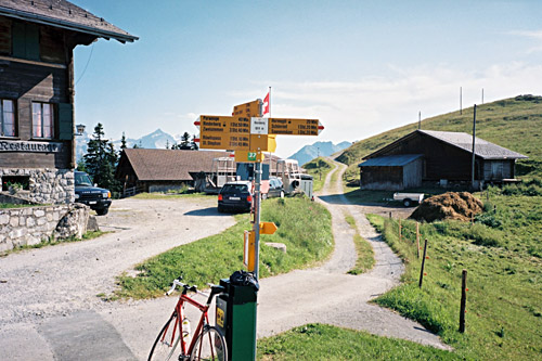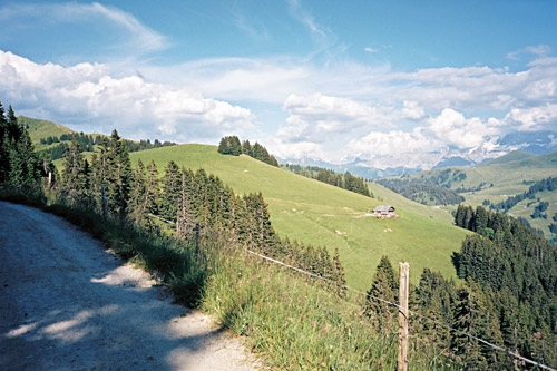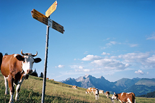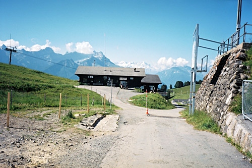
The weather was perfect for the first couple of days this year and this morning was splendid. After breakfast I went up the same road that I climbed up to to Col de Bretaye in 2006, but this time I did not stop on the way at Col de Soud (1524m) (although I did only start at Villars). The steep road up here was not as steep as I had remembered it, but this was likely due to to being there at the end of the day instead of at the start. I had heard from a Swiss member of Club des Cent Cols that the road to Bretaye is not entirely asphalted and that they have removed it is an asphalted pass in the club catalogue for passes in Switzerland, but I could not remember that it had any gravel section and Pierre had been there a year before me, so thought that maybe they had asphalted the last part after he was there.
It turned out that my memory had failed me here and there is something like 400m of gravel road in the middle for no obvous reason, but this section is not very steep or difficult, so according to me revised criteria for what climbs to include in the list of the highest asphalted climbs in the Alps, this climb will still have a place there, but I choose to draw a line excluding the Col des Bouquetins/de Beaucul (1759m), which includes another +100m of worse gravel road (taking off this road after it has returned to asphalt). The idea is that if you cannot quite remember any gravel section even with a road bike, then one better count the road as being asphalted.
The easiest passes to reach on a road bike currently not included the asphalt road passes list are: Forcella di Pradazzo (2217m); Passo della Costazza/Baita Segantini (2182m); (Col de la) Croix de Coeur (2174m); (Goletto del) Giogo della Bala (2136m); Lai da Vons (2075m); Nallpass (Alp Nova) (2074m); Gopplerlücke (2050m); Col des Andérets (2030m); Churerjoch/Joch (2020m); Col du Mont Joux (1931m); Raues Joch/Freiburger Hütte (1918m); Col de Tende/Colle di Tenda (1871m); Bocca di Tratto Spino/Tredes Pin (1778m); Col de la Légette (1776m); Forcella Molon (1767m); Passo del Dil (1723m); Rinderalp (1690m); Col de la Conche (1653m); Passo di Sbarbatal (1602m). These are all quite possible with a road bike in good weather and the gravel section does not pose much of extra hardships, but cannot be recommended under all conditions and thus they fall outside the list (though some of them are quite easy even in rainy weather with a road bike, where the hardest parts are more likely on the asphalt sections).
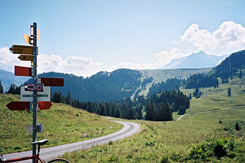
I stopped for water and some photos at the top. Then I had some difficulties in deciding which road to take to Vy Boveyre. Pierre had recommended that I take the more direct road there instead of going around the lake as I did also in 2006. However, I got a bit hesitant about the quality of the road there as it looked slightly less good of a gravel road, but the road going down and around the lake is a bit bad gravel on the descent down there, bt anyway I decided to take the road I knew from before and then noticed it was not so good on the first part. But it was usable and when getting down the short stretch to the lake there is only a shorts tretch of gravel before regaining asphalt again as one reaches the place where the road starts to go around the lake. This asphalt road is quite nice and narrow with a 100m climb up and a short dip to Vy Boveyre (1795m), which is also a pass even if not by name.
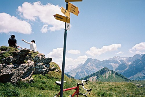
Then I had thought that there maybe was a bit of gravel down the other side of Vy Boveyre, but there is only fine asphalt down there. There are three alternative asphalted roads to get down and I took off on the first one to the right (which I guess I had thought was the next one as I tunred up closer to Diablerets than I had thought I would. The second one turns right at La Forclaz (1261m) (also a little pass). I thus got down to Vers l’Eglise (1126m). I had thought to by-pass Diablerets by taking an alternative road up the mountain up here, but as I was getting on the main road to Diablerets just where I was supposed to turn it off again, I only realised this too late and decided that maybe it would be less of an adventure to take the normal road up here (as I could not get clear on if the alternative road would be all asphalted or possibly good gravel).
I stopped for a yoghurt, coca-cola and something else at the grocery shop where I had stopped before in Diablerets. Then it was nice climb up to Col du Pillon/Pilleberg (1546m) on a somewhat steep road, passing by some other cycling tourists who had left the shop earlier than me. Juts before reaching the pass, there is a road taking off up the mountain to the left. This road goes to a restaurant and later on one comes to a crossing with the road I had planned to take and here the views are great of the area below. Now they happened to be working on this road up from Col du Pillon to the first restaurant and it was filled with loose gravel on asphalt, which made it a quite hard passage and even more so thinking I would have to go back this same way. Most likely it will all be a fine surface again when you will get there.
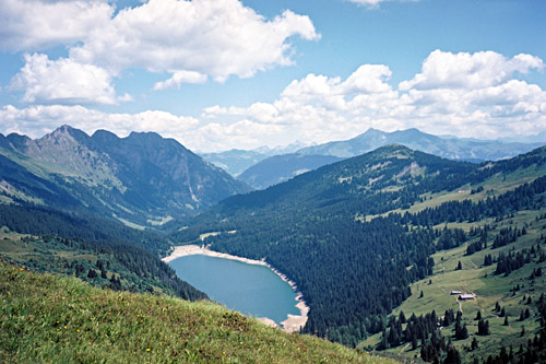
At this crossroad above that I mentioned, a small road continues up the mountain and it soon turns to gravel and I think there were a gate to open/close. The stretch of gravel to the restaurant/alp house up here is not steep and thus easy to handle. I think there was traces of asphalt even along this part at places. At the house the road turns into a bad backyard of a farmhouse and looks like maybe there would not be much luck in continuing here on a road bike, but go through and soon the road will improve again. After a while you will get to several asphalted passages again, especially on the steeper parts and although some parts are hard, it is sort of semi-asphalted to the top of the Col des Andérets (2030m). Up there you be rewarded with great views down the other side to the Arnensee down there. There is actually a bit of asphalt on that side too, but the road only goes down to another farmhouse and another pass there. With a road bike you would have to return back again and it did not seem to be worth going down there.
I stopped by the last restaurant on the way back and had a soup and some cheese made here. It was very warm here and I soon continued down to Col du Pillon. From Pillon the descent is nice and easy to the long valley down to Gstaad (1045m). I continued to Saanen and stopped again for refreshments, then continued down to Rougemont just on the French speaking side again. (Col du Pillon and Col des Andérets are also located on the language border.) Just after Rougement the most obvious road near the Flendruz train station (980m) goes up the mountain here and here I turned off like last year in trying to reach Col de la Forcla (1683m), but this time knowing for sure which way to take up there. (See day 5 from last year.)
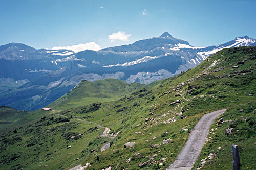
First it is a decent climb, but then the road flattens out as it goes around the mountain and enters the valley and the woods. Here it soon descends a little to cross the river (just before is the only and good place for water). Then the road climbs again and at the crossroad you come to here, turn left up the mountainside (going straight would possibly get you to Les Rodomonts, where I got last year, which is also nice (and steep) but another climb). The road up here looks quite good as if it was a through road built long ago with some decent work on it. Eventually it turns into a (still) narrower road. I had heard and thought it would be very steep, but it was only a bit steep up from the river and then a rather agreeable mountain road in all ways. Now, I came to a short descent and that got me worried and rightly so as I had heard the last part is the hard part.
Go straight and then the climbing soon starts again up a very steep road with big wooden and frequent drainage gullies. It only gets steeper as you go and when you reach the pass, you should in all honesty continue on the ever steeper road up to where the road ends. The road becomes flatter on the last stretch to the last farm at the end of the road. From this farm there is a 200m path/track to Pertet à Bovets (1840m), which is much recommended for the great views from there in good weather! Easy to walk in race shoes on the grassy track. This is the proper end of this climb and it is quite a nice climb.
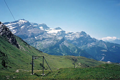
Returning back to Col de la Forcla, I found the road going down the other side toward the Mittelberg/Grubenbergpass road. It is a gravel road/track that soon becomes terribly steep, but oddly enough it had a little pavement and some concrete pavement for the wheels at the steepest places, but I was sort of falling off there as it was too steep to cycle down with ca. 30% and some loose gravel and grass on the narrow and broken concrete strips. Unfortunately this gravel road never becomes very good until you reach asphalt at the bottom, so it is only partly usable for the courageous road cyclist and I certainly do not recommend trying to use it with a road bike. (No big problem with a mountain bike though.)
I was lucky not to break anything and got down toward Saanen again, but turned up to Saanenmöser instead (this is also a pass at 1279m). I should have stopped at the village before Saanenmöser as there was no open shops in Saanenmöser. So after a while I had to continue up the next mountain without anything to drink in between. There is a somewhat steep road starting by the train station (1269m) which goes to Hornberg /Uf de Chessle (1814m), which is another pass, with only a path down the other side and a possible gravel road going westward from the pass. It is about the same steepness all the time until you reach the top. Here are two restaurants. I went in to the biggest of them and had a beer and ice cream on the terrace, which had great views and only two more people there at the time.
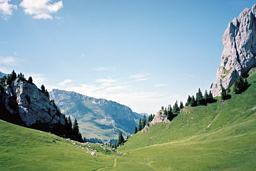
I continued on the gravel road that should be popular with walkers, but met only one family along the whole route, I think and one car. The gravel road is ok with a road bike, but not always perfect and not all flat. First one comes to Parwenge (1836m), which is also a pass (gravel road goes down toward Saanenmöser and a path down the other side. I continued ahead along the ridge and eventually reached Parwengesattel (1833m) (geographically the pass is a bit below at 1787m and a path may cross there). Here the road starts to descend quickly and here it is arguably less smooth, but still negotiable with good tyres and luck.
After another farm one reaches asphalt at ca. 1660m. The asphalt was perfect here, but I was to turn off the road just some hundred metres later onto an even worse gravel road than the previous one and I really had to stop and make up my mind about it after starting to get tired of bad gravel stretches, but there were so many arguments for getting up here and over the next pass, that I simply had to go up here and hoped the road would improve a little, which it did not. I met a mopedist who looked a bit curiously at me (I believe). After a while I decided to try making a short-cut through the woods as I had thought might be possible from looking at some satellite photos when planning, but there is only a path and even that I lost here and had to drag the bicycle through the woods and up a steep grassy slope to find the gravel road that soon took me cycling again to Rüwlispass or Rüwlissepass (1718m) as the sign says here.
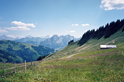
Here it was quite nice and I had read in the Swiss catalogue that this gravel road was supposed to be less than perfect up here, but it was a good gravel road here and on the descent to Simmental it was first partly concrete pavement on the steeper parts and then a fine asphalt road. I continued to St. Stephan where I asked at a hotel by the road side for a bed and got a room this time already at 20 pm before it got dark. The hotel was sort of average, just like the food and service (not bad, not outstanding).

