Another day with good weather and a rather successful day, even if not terribly long. After breakfast I took off as quickly as I could (hot hotel with lots of people), but did not consult the map as I thought I knew where I was, but had thought I was down at Birchabruck/Ponte Nova (876m,). Thus I started going up the road toward Eggen/Ega, but this was quite steep (like 13% in places) and there was no surfaced road taking off to the left as it should be. After a while I realised the mistake and went back down again.
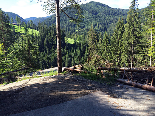
Soon I was on the right road toward Jouf de Ciareja/Karerpass/Passo di Costalunga and found the turn-off to the right (not known by Google). This minor road should be the shortest/steepest up to Obergummer/Lärchenwald (1343m). The road was damaged (only 20m) at one the steepest places, hence the photo here. A very narrow and steep road, but it comes up top meet another road and then it is no longer steep at all.
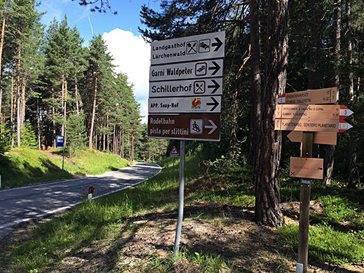
Here I am up at the unnamed pass at Obergummer/Lärchenwald (1343m). The climb up here is of course longer, harder and a real +1000m climb from down the Eisacktal/Valle Isarco at Prato all’Isarco/Blumau (325m). It is likely possible also to take the road up here via Breien/Brié (the infamous road up to Nigerpass/Passo Nigra (1688m) with 24%, which I have yet not tried).
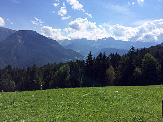
The views are great down to the Eisacktal/Valle Isarco, where I stopped for a couple of photos in the great weather this morning.
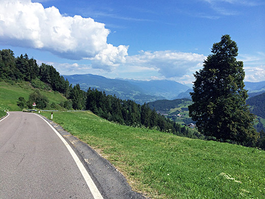
I stopped down at Steinegg/Collepietra by a grocery for a yoghurt and coca-cola before descending the nice serpentines to Eisacktal/Valle Isarco, where I met a cyclist climbing up.
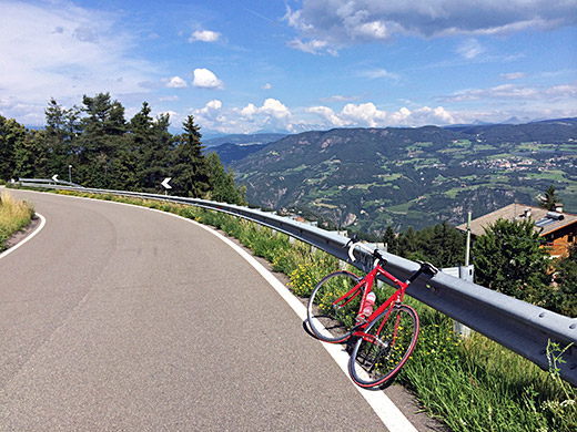
First of three more photos lower down before Steinegg/Collepietra and here looking ahead.
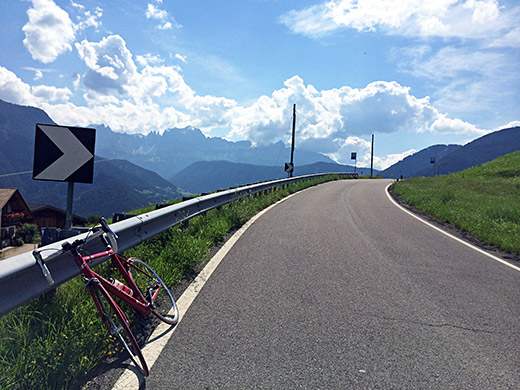
While here I look back up the dolomites mountains.
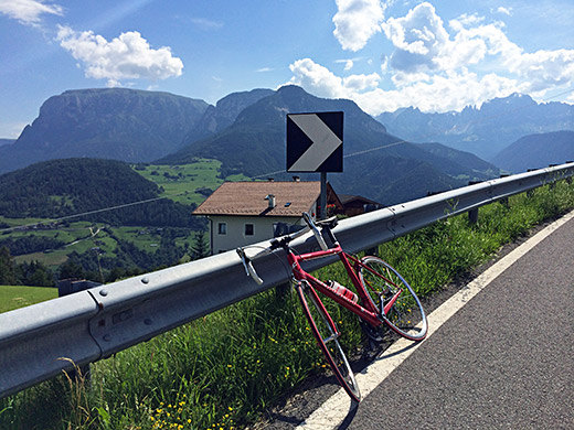
Here I look across the side valley up toward the Seiser Alm/Alpe di Siusi/Mont de Sëuc area.
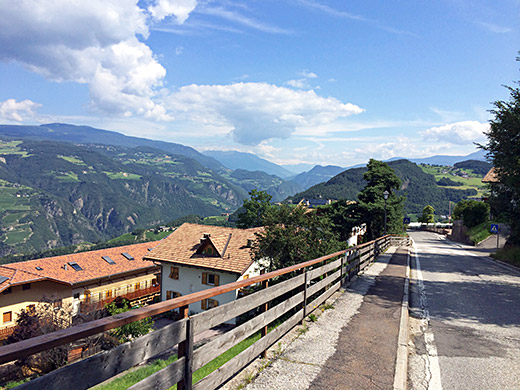
Here is the view up the Eisacktal/Valle Isarco (in the direction of the Brennerpass/Passo del Brennero) from the upper part of the Steinegg/Collepietra village.
After coming down to Prato all’Isarco/Blumau (325m), I continued on the main Brennerpass road to Ponte Gardena/Waidbruck and a little further to Kalchgruber (515m), where a sign says it is the industrial area for Villanders/Villandro. This is the road to take!
The road climbs fairly steeply up through Sauders/S. Maurizio and when you have a choice of road higher up one takes the road to the left (Pradell) that with concrete pavement. This road is often up at around 20%, but no need to think you are tough – I met a girl on her bicycle here! Thus you avoid going into Villanders/Villandro on the way up to Gasserhütte (1750m). You soon reach the normal road up and it is less steep again. There is another choice of roads again later, but think the main road is the steepest here, so just follow that, but the smaller road might be more fun. As you enter the woods by a big hotel, the road becomes less steep, but there is still a bit steeper section later before reaching the parking place for the Gasserhütte where the asphalt ends. I stopped by the restaurant to have knödel and a radler.
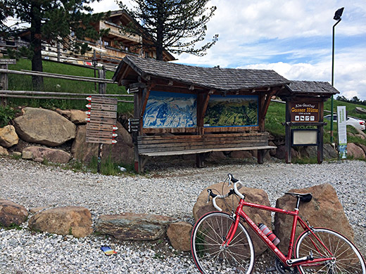
The Gasserhütte above from where the asphalt ends. After the stop I continued up on the gravel road. I had seen a gravel road going more directly up from before the parking, but it was just not as good. This area is a like a wide dream area for mountain bikers and you will find such people here, but the gravel road is actually good enough up here for a road bike too.
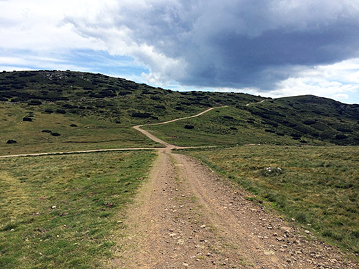
I saw the turn-off for the Mair in Plun Hütte (restaurant), but thought that maybe it was the road ahead I should take as it still looked better (and it was fine mostly), but got second thoughts after a while and talking to some walkers I realised I should have taken off at the Mair in Plun Hütte, so back again and then just continued on up to the pass I was looking to get to – the Gasteiger Sattel/Sella dei Sentieri (2054m) I had looked so many times at on the maps. The road from the Hütte is often very easy and almost flat, but there was a bit steeper section too, but no place where I could not bicycle without much problems. The hardest part up to this pass for a road cyclist is clearly the paved part! Really happy to get up there, but the views from the pas itself were disappointing and that explains why I had not found many photos from here. Here I am a little on a side road showing the pass cross. From here I continued straight up the slightly steep ramp ahead.
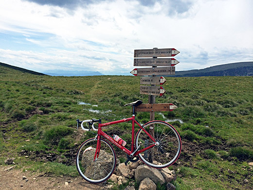
Here was a sign I found after the ramp as I found no pass name by the pass, but it was also not mentioned here, but it was mentioned on other directional signs. In Italy is common not to mention where you are as you supposedly know that (?) and they only have directional signs instead.
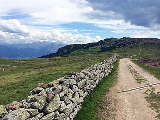
Here I see ahead the Rittner Horn/Corno del Renon (2260m) that I hoped might be possible to cycle up to as well. This is the defining mountain up here from Bolzano/Bozen/Bulsan. The path ahead straight up there in the photo was really only for walkers though, but there is a normal gravel road going up from the side to the right here.
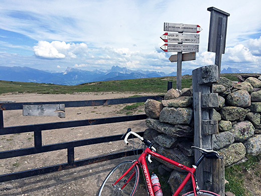
Here I stopped again a bit ahead after a slight descent to what could be another unnamed pass on the ridge, but very much in the area of the previous pass, so maybe not. Here the sign shows the name though for the ‘Gasteiger Sattel (Sella)’.
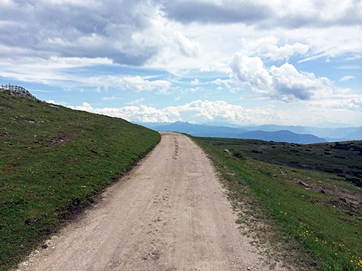
The gravel road continues and is here very good! Lovely really!
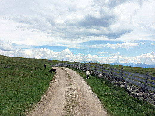
Some cattle along the road to say hello to.
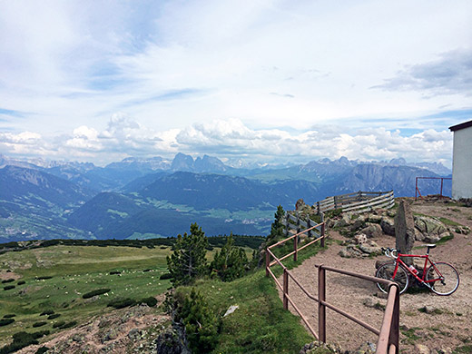
Then I took the gravel road up to the Rittner Horn/Corno del Renon, which was very difficult for the first metres from the turn-off and at one place later on, but fine otherwise and I managed to cycle all the way up to the mountain, which I had not really hoped for and was quite happy with that. Have not heard of any road cyclists who has been up here, and still it is not that difficult. Mountain bikes are much overrated ;-).
This photo was also what I in the end choose as the cover photo for my first book, on making tours like mine through the Alps, as it both gives the hilarious views you can find on a road bike and shows how much more fantastic experiences you can have in the mountains apart from seeing the usual well-known pass roads, like the Passo dello Stelvio, Alpe d’Huez, Col de Galibier, Passo Sella, Hochtor, Col d’Izoard, etc.
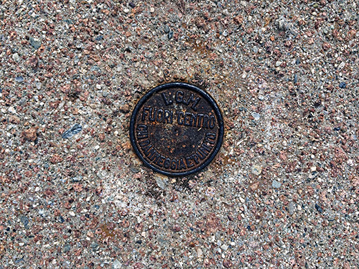
One of those height measuring reference points (from IGM).
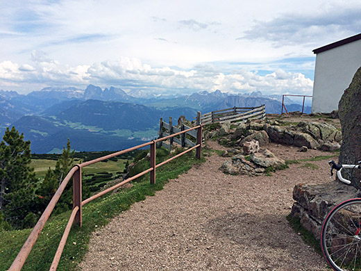
Great views all around and had to take more photos. Here overlooking the Dolomites.
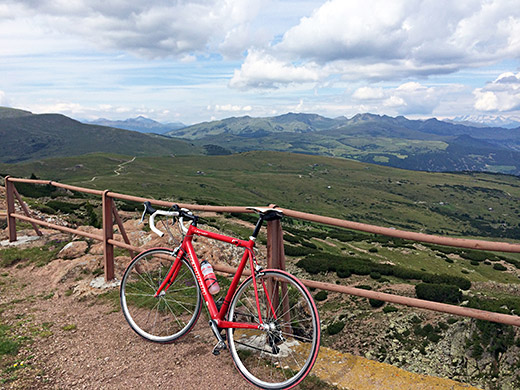
Here is the view back to where I came up and you see the pastoral landscape that adorns the ridge over to the Sarntal, that unfortunately no road good enough for a road bike traverses, but possibly you could continue to near the high point on that ridge there on the road I mistakenly first took.
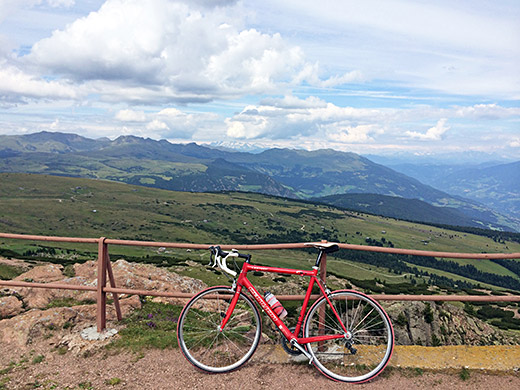
Looking up the Eisacktal/Valle Isarco.
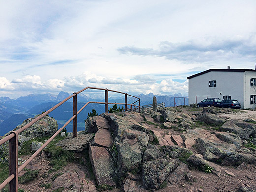
Yet one more photo to show the actual high point of the mountain, I think :-).
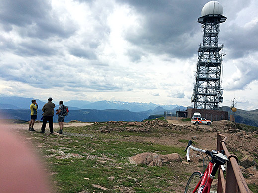
My fingers are a bit too much in the way sometimes, but the photo was still interesting so included it. This is the view up northwest and where you arrive on the bicycle.
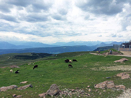
One more photo in that same general direction without the tower and with a mountain biker arriving.
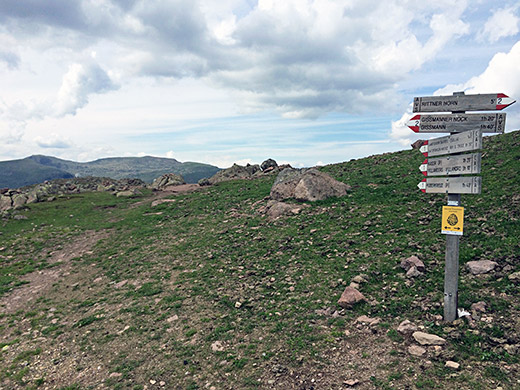
Another directional sign for Gasteiger Sattel.
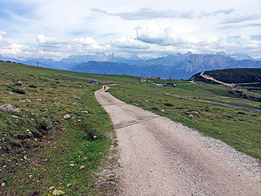
Now continuing down the other side toward Bolzano/Bozen/Bulsan. And the road is good down to this unnamed pass, Unterhorn (2024m).
From there the road continues down to the right, but soon becomes less good and also steep when it reaches the woods. I could cycle down the whole way there, but might not have succeeded going up without interruption and it is a section that likely could change for better/worse depending on where you get there. The road up from Villanders is much better anyway, even if a little longer.
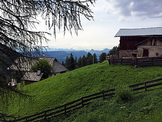
This photo is taken at an odd place at the end of the asphalt road going up here from Bolzano/Bozen/Bulsan. Looking in the west direction over Sarntal. Said hello to someone at a house here (think the road was private) and went back.
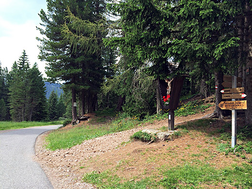
Here is the sort of pass near the end of the asphalt road where just before the gravel road up to Rittner Horn starts. It is the Rosswagen (1699m) pass, but unfortunately there is no asphalt road down to Sarntal from here.
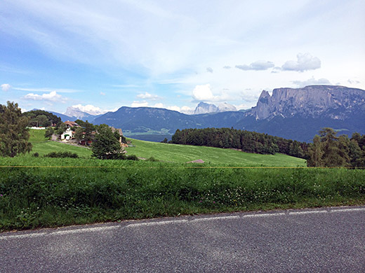
Thus, I continued down the east side where I went up many years ago already to Rosswagen only to Klobenstein/Collalbo (1214m). From there I took the only asphalted road over to Sarntal there is in the area. This road arguably goes over a pass too, but the geography is a bit confusing along this road and there is no very obvious place for a pass, but Riggermoos/Gebrack (1321m) makes most sense as the pass, but the road goes up to 1381m (after some ups and down as it flanks the mountainside before coming to Wangen/Vanga where the road decisively descends fast into the Sarntal.
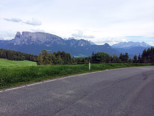
The photo above and the photo here are from just above Klobenstein/Collalbo, where you got the last really good views of the Dolomites going in the direction I was going in.
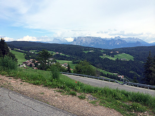
A little further away at the Riggermoos (Wangen) pass before loosing site of the Dolomites.
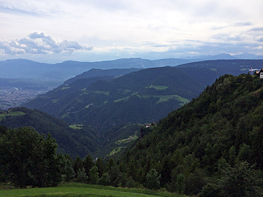
Here is the view just after Wangen/Vanga down the last part of the Sarntal, overlooking the Jenesien area on the other side.
Just before reaching Auna di Sopra on the way to the high point on the road to Wangen my front shifter got loose again despite the fix the other day and again I had to hammer it back in with a big stone. Irritating.
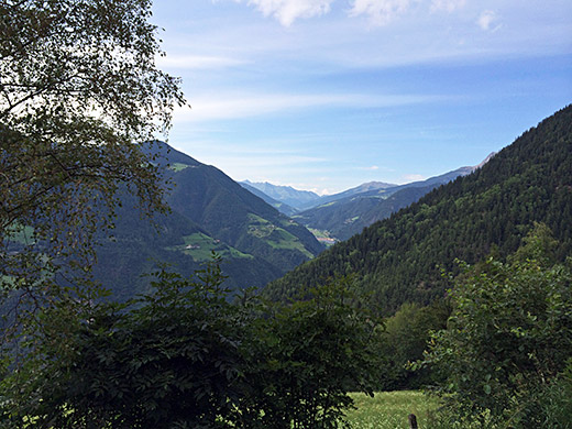
Here I am looking up the Sarntal in the direction of the Penser Joch/Passo di Pennes (2212m) that I have only visited once back in 2003. (I should climb it form the hard north side one day too.)
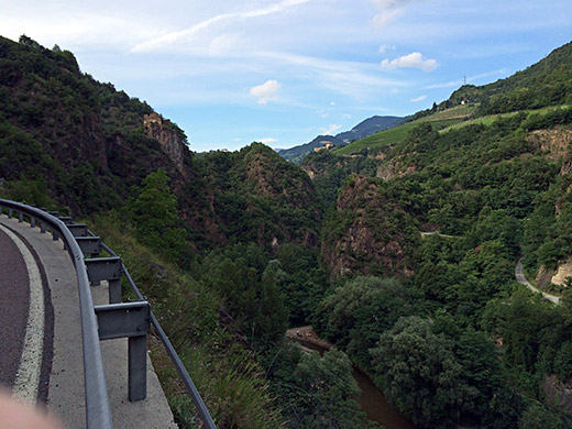
On the way down the Sarntal I was apparently coming in the busy afternoon traffic and some drivers were not happy about me stopping for photos, but have never been down through this nice section with castles and tunnels in the very narrow valley here.
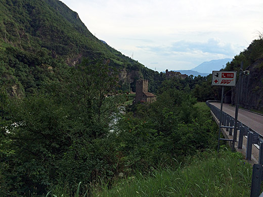
Here a last photo of one of the castle ruins before arriving in Bolzano/Bozen/Bulsan. Now it was getting late. Around 18:00 and I had to hurry on a bit to get somewhere and forgot about taking more photos this day. I continued up to Merano/Meran stopping in Terlano/Terlan for a coca-cola and apfelstrudel at a pastry shop. Going out of Merano/Meran I thought to try a small road close to the main road (not allowed to cyclists) and someone suggested one could go up there, but I might have misunderstood that as I ended up having to walk up a steep path section and then got my bike out on the forbidden road and continued, but was then close to where it was okay again to continue cycling on that road. First time up here the main road was still allowed for road cyclists and it is only because of a little tunnel I think they have put up the stupid signs there.
Then continued up the Vinschgau/Val Venosta to Naturns/Naturno, where I decided to strike up the mountainside to Tabland/Tabla on a straight steep road. There I stopped at the first bed & breakfast I found and they were good, but had to get to the nearby hotel to have dinner, but that was also a nice place and nice views in the evening across the valley from up here over the Juval castle (another steep climb up there).