Not so many kilometres this day, but still a lot of height metres. Great weather again this morning and now I had planned to take the road over Col du Lein/Lin/Pas du Lens/Len/Lin (1686m) which I have climbed before, but now wanted to try and less known way up there from Vollèges (847m) (the climb coming from La Châble starts at 805m.
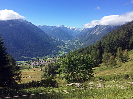
I took a little short-cut up and then the road climbs rather steeply up through Le Levron where I think I took the left-hand variant up above the village. The asphalt continues up to the last serpentine bend (1625m) before reaching the pass (the last stretch is rather easy anyway). A bit before the asphalt ran out I stopped for photos back. First here is up toward the Col du Grand St-Bernard/Colle del Gran San Bernardo and Val Ferret.
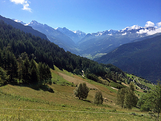
Here the view up toward Lac de Mauvoisin.
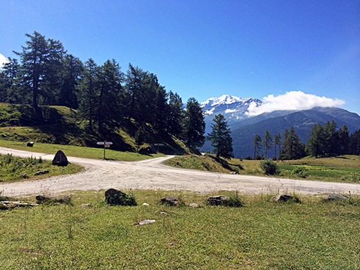
Here I am standing at the Col du Lein (1658m) pass (pass sign here says Col du Lein (1658m), but the pass is also recognised at the highest point on the road that goes over to Saxon as a road pass.
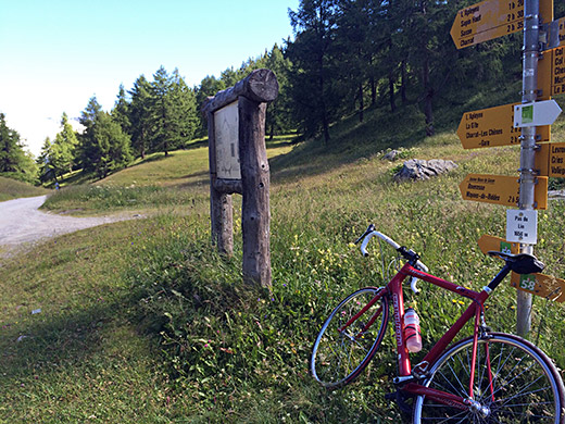
Here is the pass sign at the highest point over to/from Saxon for Col du Lein/Lin/Pas du Lens/Len/Lin (1686m) (sign says Pas du Lin (1656m) which I guess is the more local name, but only the Col du Lein appears on road signs, while on maps some more variations have appeared). 740m gravel to here and 450m to the first pass (if going down to Col du Tronc). It is then another 730m of gravel from the pass down to asphalt (1633m) on the road down to Saxon, but it is a very easy and somewhat flat section.
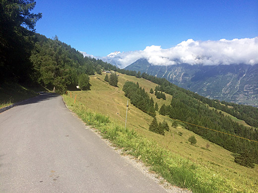
Here is the first part down the asphalted road to Saxon (466m). Surely one could have better views down this road, but guess I wanted a view down another direction this time.
There is an alternative road down here half-way down via Prés des Champs, that I took this time for variation. On this narrower and slightly steeper road I met a whole cycling team/club coming up with a Skoda car following them (and wondered if Mattias had relocated with his team from La Plagne to here). There should also be some alternatives lower down, but no point taking smaller roads when going down. I continued to Riddes and stopped for a coffee and ice cream, I think.
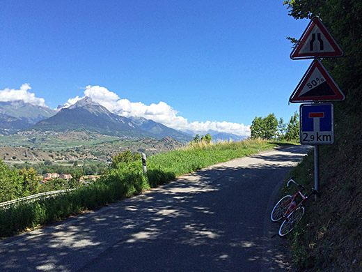
Then I was ready for the next adventure. I went on to Aproz (482m) and from there followed the main road to Nendaz and Fey, but took off this road at the first choice to Les Bioleys and Coor. Just after turning off here the sign here appears which should be the road sign with the highest percentage shown anywhere in the world for a road – 50%! Now we are talking!
The sign below suggests the road ends in 2.9 km, but that is not so, it is merely the place where the above sign refers to. The road is actually rather ok up to there and not more than maybe 10% at most. The road surface is a little less good than usual in Switzerland, but it is fine and you notice the ravin it climbs quite near too. You come to a cross and trash bins and a sign suggesting only locals are welcome on the road ahead. Now it starts to get up toward 20% and after a bend you see it will get much steeper, but the steepness is not more than somewhere just above 30% at the maximum, still enough to scare me to jump off and walk. You can even see this stretch in Google street view who were there the year before in August 2013, but it surely does not look as steep as it is.
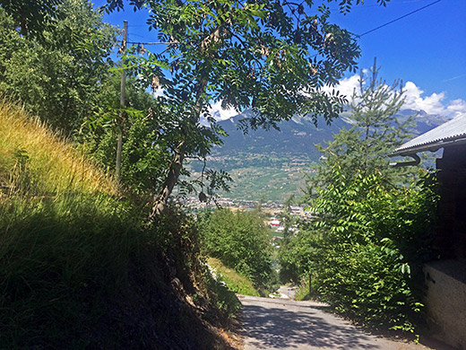
The steepest first ramp is in this photo and I tried to make it look steep by taking the photo without turning the camera down which often happens on places like this, but still it is hard to say how steep it is. I think it was 29-33% somewhere at the steepest point and that is still about the steepest point of asphalted road I have seen anywhere. Typically concrete is used when it goes this steep otherwise. Still might be possible to get up if you can keep some speed before and use really low gears.
I think I did cycle up the next steep ramp at ca. 25% and then it was relatively easy up to the main road to the church in Basse-Nendaz (992m). From here I failed to take the very steepest alternative roads for some time up to Siviez and followed the main road up to Siviez, but took off it soon again to Saclentse (1201m) with along flat stretch to there. One could at least have crossed the road in Basse-Nendaz and take the short-cut up there. But hardest should have been to follow the road in the opposite direction that I did in Basse-Nendaz slightly down to Beuson (972m) and then take the straight road (Chemin de la Vallée) up the valley – that looks even more terrifying.
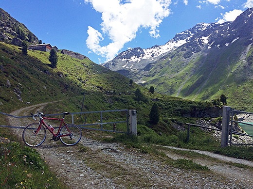
Now the normal road to the small ski resort Siviez is not so steep and a wide fine road, but the road via Saclentse, supposing you continued straight ahead here like me, descends slightly and involves a short stretch of gravel road (good) before you cross the Printse river to join the road coming up from Beuson. The road climbs steeply up to this road and the road up along the river then climbs without any switchbacks and as the river is more like a waterfall, the road imitates it well and is terribly steep here and there. I managed the first 25% ramp, but then there were more, so eventually I gave up and walked a little at two short stretches. I was not really prepared for this as I had thought I had done the worst.
Also I was not merely on the way to Siviez (1732m), but to Lac de Cleuson (2188m) so expected more hardships only higher up again where the asphalt should end above Siviez. The last part of the road to Siviez was on the normal road.
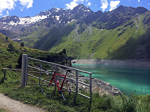
At Siviez I soon found the continuing road and luckily it was accessible and it was well paved at start and was a very sweet narrow road until 1855m where the gravel starts. Still the gravel was not so bad and I could cycle all the way up. There were even short sections and one through a tunnel near the top above 2000m that were asphalted. It was a quite nice road on the whole, even with the horrible ramps, but they only demanded rather short walks, so not really a reason not to try this climb.
Above and in the photo here I am at the highest point I went to just after the dam, because of the sign up here (excluded that photo).
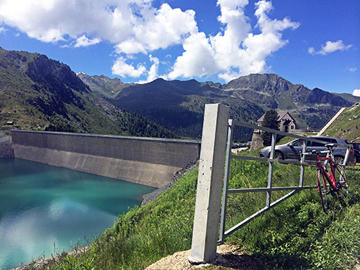
Here the dam itself from above. It was very nice up here this day!
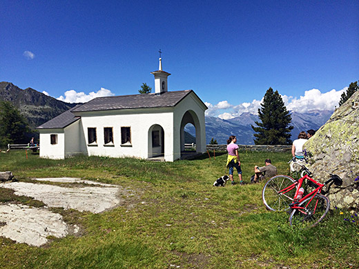
Here I had cycled across the dam to a little chapel on the other side.
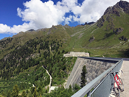
Here looking back to the last section up to the dam and the front of it.
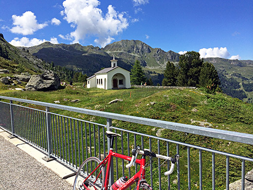
Looking back to the chapel from the middle of the dam.
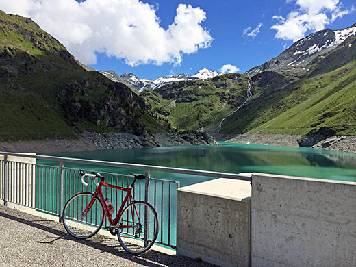
And a better view of the dam than above.
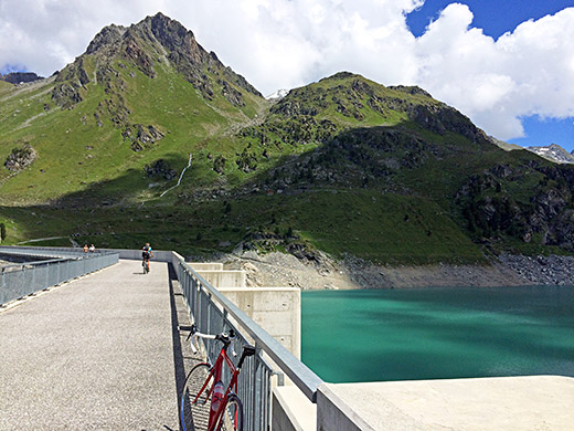
Another guy with a mountain bike cycling by. I saw a few mountain bikers, still have not read a single account on the Internet about cycling up here before.
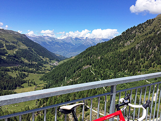
Looking back down to Siviez and Valais/Wallis far below.
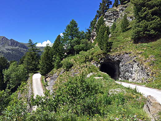
Here you see the highest paved section and nice tunnel at the height of 2165m.
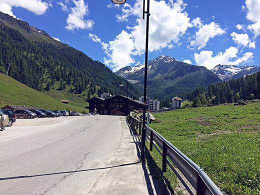
Down in Siviez again and you can see the dam up there from here.
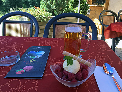
On the way up on the straight narrow road I came up to a flatter section where I saw two restaurants and anticipated staying at one of them on the way down and here I am enjoying myself with delicious raspberries and ice cream and a beer – just perfect!
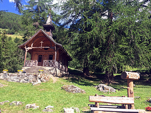
A curious new built (I think) chapel in old style. This marks the place where the the several 25% ramps starts down here.
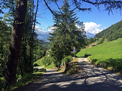
Here it is only 20% at first, but you better check your brakes before descending this road. I got a bit tired of braking, as usual, when coming down to Beuson (972m), but here the next climb starts at once as I was next going up to Thyon (2096m). It was now terribly hot up through Veysonnaz.
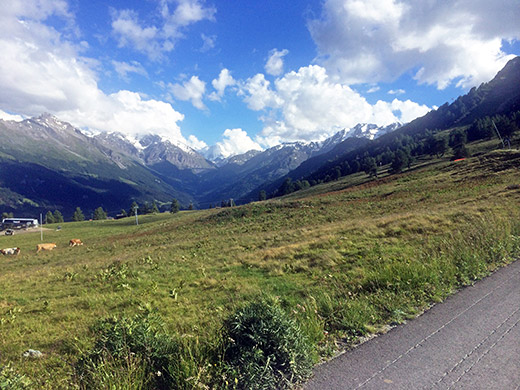
Here I am on the alternative road to Thyon not for unauthorised motorised vehicles. It is nicer, narrower and comes up a little higher on the back side of the ski resort, and slightly steeper. I also think I had to go over some cattle ropes across the road. Here looking up the Val d’Hérémence in the direction of Barrage de la Grande Dixence, which you actually see in the photo (vaguely, but yes it is that big … ).
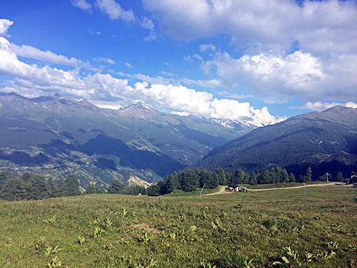
Looking across the Val d’Hérens up toward Dente Blanche and the Matterhorn (in the clouds as usual).
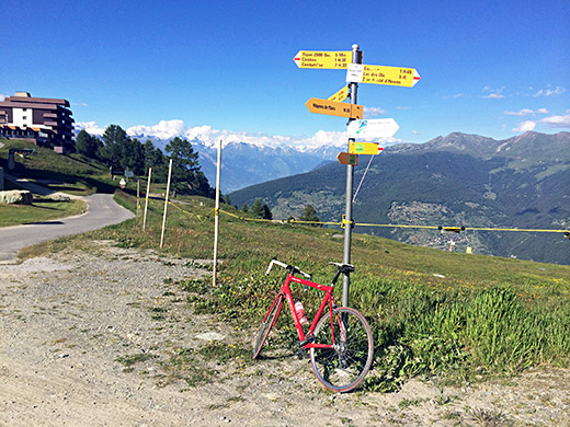
Up at the sign for Thyon 2000 (saying 2095m) looking across the Valais/Wallis.
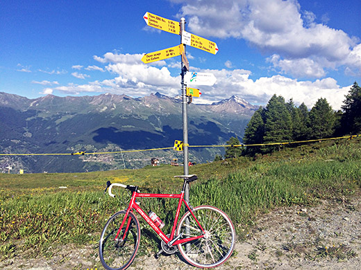
A view from the same place and again over Val d’Hérens.
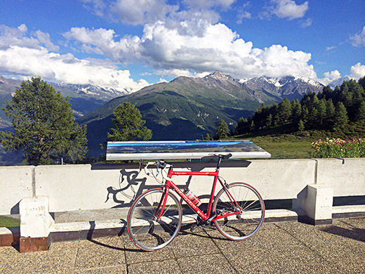
Up on the ski resort plaza (2100m), with many signs stating all the mountain top names in different directions. Thyon itself is a pretty disappointing place, but the views from here are great.
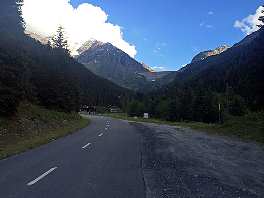
I descended again to get up to the Barrage de la Grande Dixence. It is a confusing system of roads above Hérémence (where I also got pretty lost on my first visit in the area in 2002 and where the little photo on the main cycloclimbing.com page was taken). I had to go down to just before Prolin (1274m) and from there it was just the straight road ahead up the Val d’Hérémence.
It was however starting to get late and I started to realize that I could not really attempt to cycle up the forbidden gravel road at the barrage to the dam as I had hoped to do. When I came to Pralong (1608m) I saw a hotel and asked if I could stay the night there and also if I could get dinner after coming back down from the dam. I had to promise to hurry on to get dinner, so no chance for climbing the dam if I wanted to eat (in retrospect maybe I s should have skipped dinner and went up to the dam as it would have been a good moment to get up there, but it was a bit too late to make sure I had nice evening views up there and not having to descend in the dark. Guess just a half hour earlier would have been good enough.
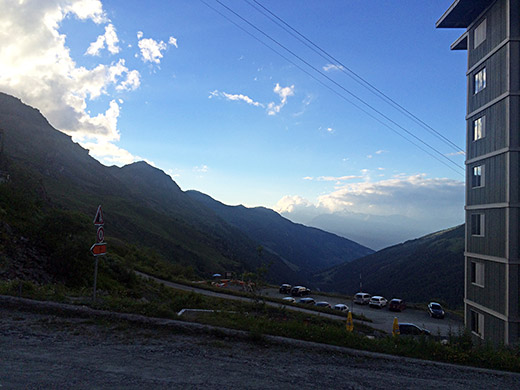
Above you see the dam from just before Pralong. And here I am behind the huge hotel at the dam just after the bar announcing that the road is prohibited for all vehicles. You are not even allowed to walk up the road, but should use an alternative path, supposedly because of the risk of rock falls.
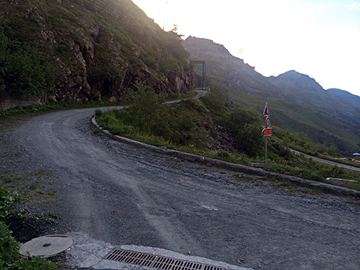
Here you see the road and it looks pretty good for a gravel road (at least here).
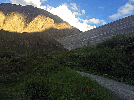
Here is the less good road in the other direction, which soon becomes a path. I turned around here at 2151m (the dam top is at 2365m).
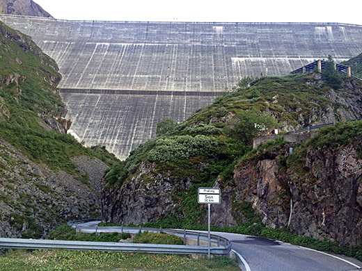
Grande Dixence is the highest gravity dam in the world with a 285m high wall containing the Lac des Dix, which is the biggest lake in the Alps above 2000m height.
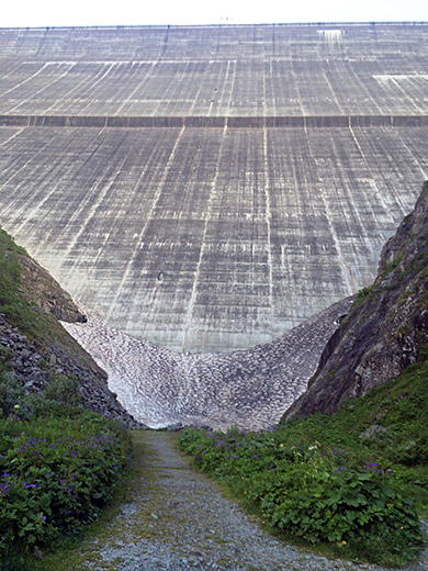
Close up! The dam better not collapse right now! If that dam ever collapse it would be a disaster for half of Switzerland.
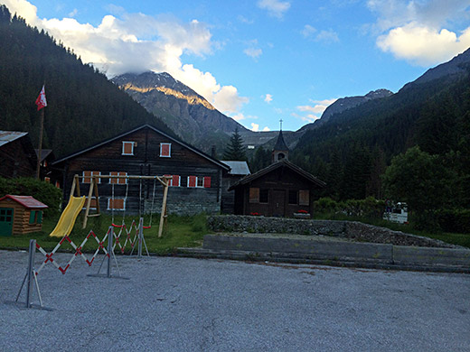
Full speed back to the hotel and irritatingly there are still glimpses of sun up there (I guess I could have made it before the dark after all, but I was not sure). Pralong is the very last inhabited location before the road to the dam, but there are only a few houses and not sure if anyone lives there the year around. Got dinner and all was fine.
