
After a good breakfast at the good hotel in Espot it was time to climb up to Llac/Estany de Sant Maurici (1920m). The climb really starts in the Vall d’Àneu at 939m, but I did the easy part up to Espot (1313m) the day before. From Espot the road is narrow and steep in sections, especially early on up to a toll both (no toll for cyclists). Then the road is easier in the woods up to the lake and with slightly less good asphalt. It is not really very nice until the end here, but quite agreeable up there. It is close to a 1000m climb from the start and a hard one for sure. Ramacabici.com has again a good profile of the climb.

I stopped for a couple of photos, but was not totally happy with them, maybe because of the light (also hard to edit properly).
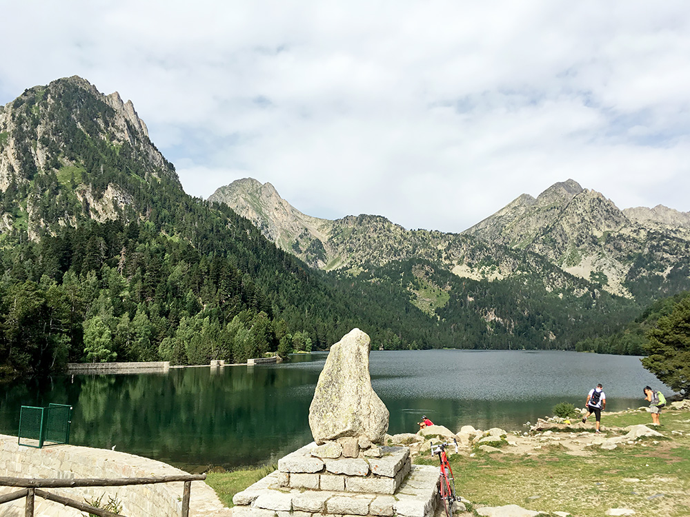
One could almost cycle down to the lake on the wooded walkway. Not much better views there, but it was nice alright.
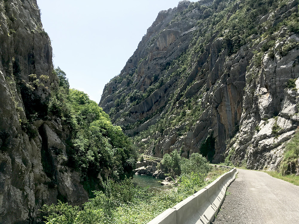
Here on my way south avoiding one of the tunnels the Spaniards are so happy to spend EU and their own money on everywhere. Cycling down to Rialp, near where one of the toughest climb I left out of my plan goes to Port-Ainé/Portainé (1976m). Just before El Compte, where a helpful short-cut road over Collada de Sant Antoni/Alt de Moncortès (1056m) which was on my original plan, before I noticed a very southern pass in the area that could possibly be considered a part of the Pyrenees and changed my plans.
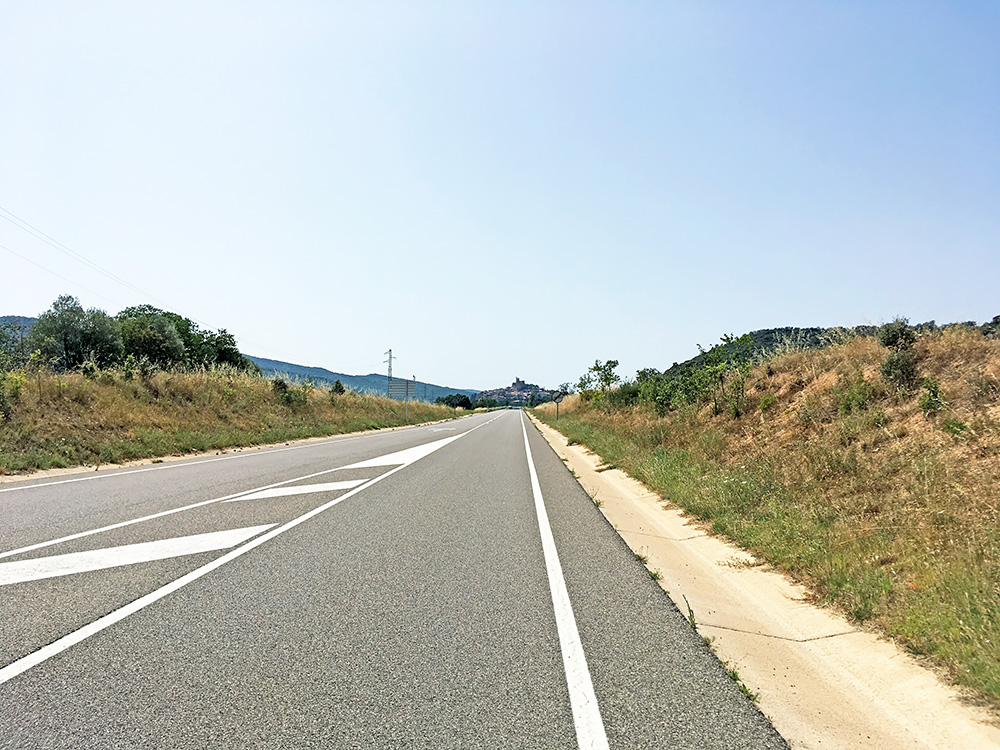
At La Pobla de Segur (515m) I met the normal road going west in the Pyreenes, but I was on a strange mission here to continue much further south to climb Montsec d’Ares (1565m) and the highest asphalted road that south in the (pre)-Pyrenees. It was hellishly hot today again and likely the second warmest day this summer. No signs of any other cyclists anywhere and got the feeling that even the car drivers was thinking I was nuts going down the road here this day (maybe not). Stopped for a quick coca-cola by a grocery in La Pobla de Segur and went ahead down to Tremp. Now it really felt like I was going off the Pyrenees grid and straight to hell.
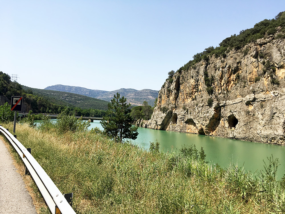
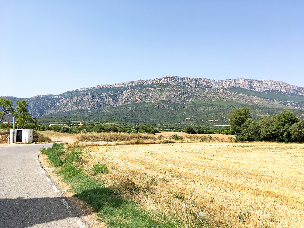
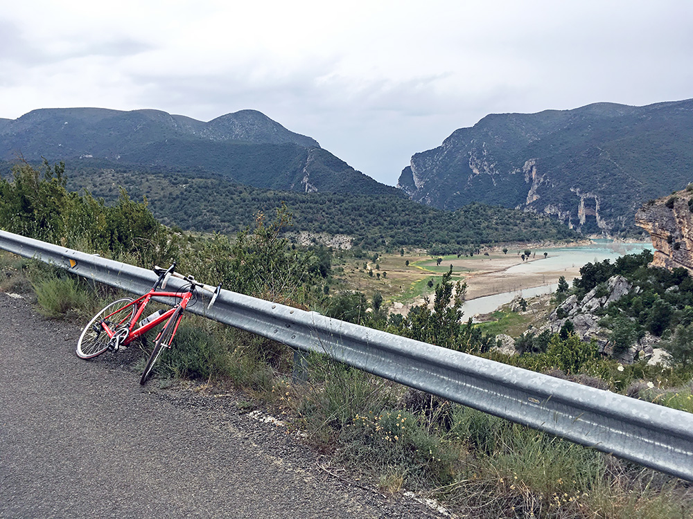
I stopped again in Tremp (now I really made sure to stop frequently and I had to). Had a little lunch in Tremp (coca-cola, water and ice cream, I think). I was confused by people seemingly living their lives as normal and wondered if one really could adapt to weather like this, but maybe (at least if not out bicycling all day). The road continued down and the temperature up. Guess I then knew how it would feel to cycle through Sahara. The road here is a bit entertaining though as I was closing into the Montsec ridge that looked impressive especially from the north, but could not decided just a place to stop for a photo and went down to the gorge where I had this photo. There is a road going inside the mountain on the other side and you see the gallery holes there.
Out on the other side of the Pas de Terradets I soon reached the lowest point before the Estacion Àger (339m), which is pretty low for being this deep into Spain, but one goes down to below 100m just after Lleida and still there river is long from there down to the coast by Tortosa. I stopped close to Àger on the long slow uphill there to take a photo of what looked like an illusion in the desert. It was hardly breathable here, but still people seemed to enjoy the weather. I stopped again for an ice cream and coca-cola sitting inside where it was almost as hot as outside, but just as well or I might not have left for long.
The prospect to climb the mountain was dizzying, but I just told myself to take it slow and easy and to continue. One feels a bit as being crazy and hoping no one sees you take off. The road raises gently at first and is a peculiar and narrow road. One soon passes by a location for paragliders to whom this mountain apparently is quite popular. That is probably a more suitable sport a day like this. There is also an astronomy observation location one passes by. Otherwise this is a rather lonely road with just a couple of houses along the way. The pavement is ok on this side but quite “varied” on the north side.
It may not look totally obvious (or very convincing even) that one is actually climbing straight up (in wide serpentines and strange ways) to the centre at the highest point in the photo here (or very close to it). The road goes to the left before going back to the centre higher up.
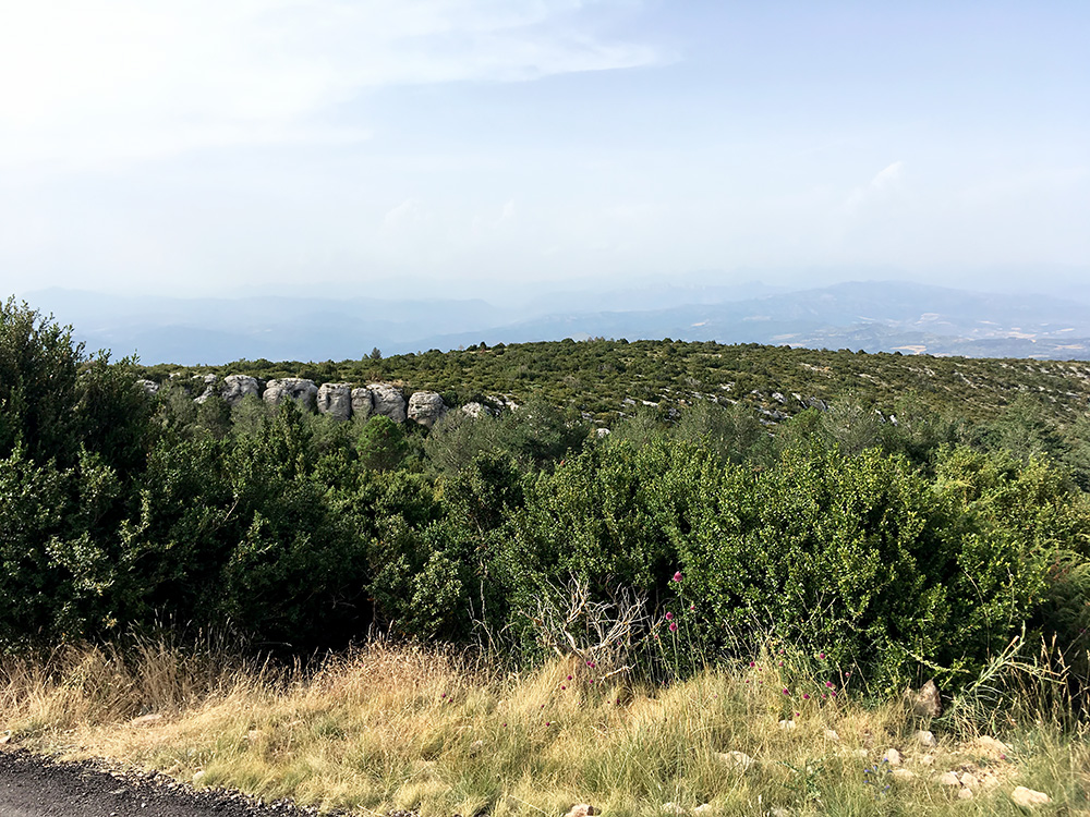
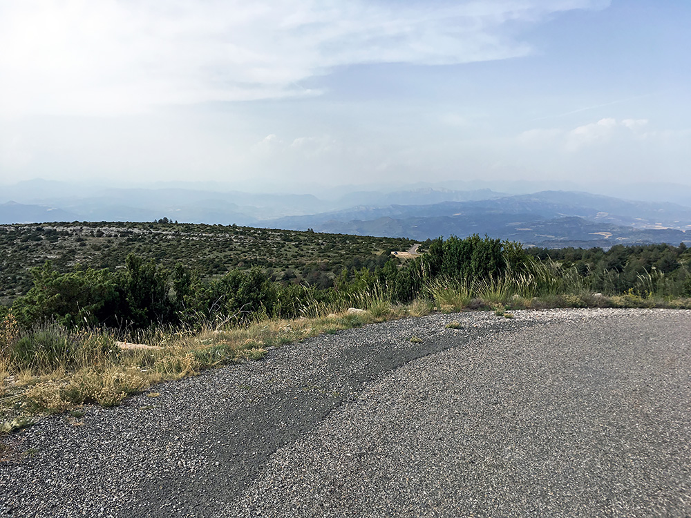
The climb is long and seldom very steep and there is a false summit with a plain/terrace on the way up. The last bit is likely the steepest and also the nicest. Lovely views in all direction from the top of this rather little mentioned climb. That it is little mentioned is probably due to it being rather isolated, exposed, warm and most of all that the road on the north side is of very dubious quality (worse lower down). The view from the top north just looks hazy and uninteresting in the photo.
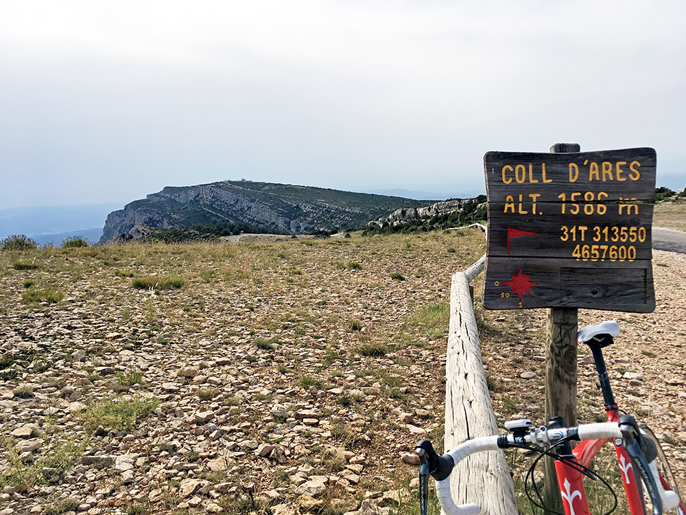
The sign for the pass that appears above the pass here at the parking, which might also possibly be considered a place for a pass as there is a path down from the road on the other side here, but the pass with this name is really a bit down on the road going north. Montsec d’Ares (1565m) is also not as high and the Coll d’Ares (1494m) is just below 1500m, but the road height is 1534m (from where the side/mountain road up here goes).
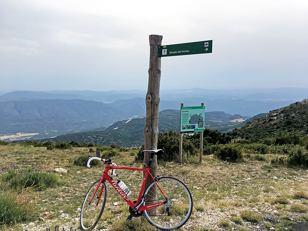
Looking southwest here. The sign below here caught my attention.
It makes clear the area is regarded as part of the pre-Pyrenees, so to the extent the pre-Alps are parts of the Alps this is part of the Pyrenees and I think one could include it in the greater Pyrenees area.
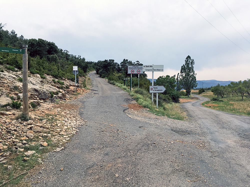
Little did I suspect the road north would not be nice to descend and was looking forward to the descent. It starts out all fine even if a little rough.
One passes by a couple of passes on the way down and there are also some short climbs on the way down: Coll de la Pua (1257m) is just off the road at bend; Collada del Comú (1214m) is at an obvious place with the climb and here the road fails with asphalt shortly and becomes very much filled with holes everywhere down to Coll de Fabregada (945m) which might be a fully surfaced road across the Tremp plateau in southern parallel to the Coll de Montllobar (963m) & Collatrava (964m) (road height at 1052m in between). The road over Montllobar is the last chance going on a good road between the valleys going south though.
Looking north here at the actual Coll d’Ares (1494m).
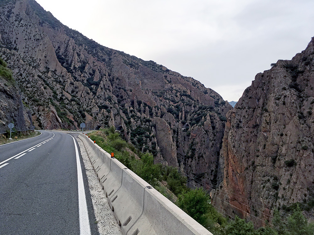
Here you see the bad state of the road down this side from the Montsec at Coll de Fabregada (945m) (a dog ran loose here and had to speak a little with him to make sure he was no going to attack me). I continued down the road seen here and even if it looks better and so looked when looking it up on the Internet before, it is filled with stones and the surface is really rough in varying degrees all the way down to El Pont de Montanyana/Puente de Montañana (534m).
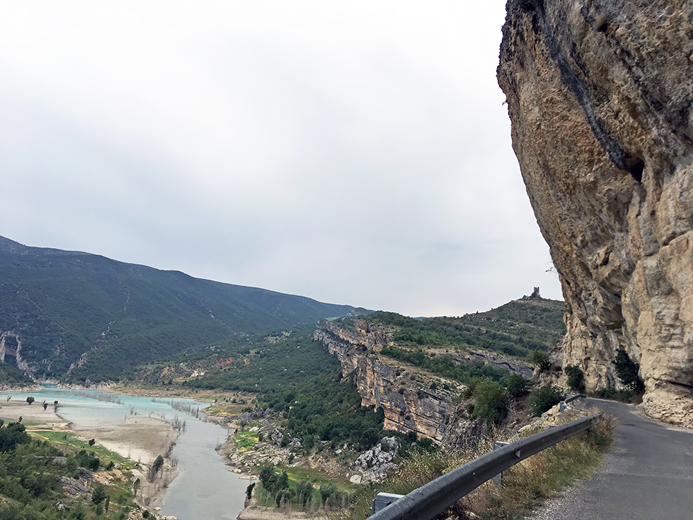
Down here by the Pantà de Canelles and now it is quite nice here. There is no road they have managed to build down the valley here as the rock wall are tight and steep right down to the water passing through the narrow opening at Congost de Mont-rebei.
Looking in the direction of Congost de Mont-rebei and the continuation of the dam on the other side of the opening in the Montsec ridge on the west side.
I had originally planned to stop for the night (two days before) at El Pont de Montanyana/Puente de Montañana (534m), but now just decided to push on and see how far I could go before it would get too late to continue. I looked at the hotel by the Pont d’Orrit where I had thought about stopping also, but the place did not look so good and I had still not got much higher up, so continued not knowing if there would be a place to stop at again before El Pont de Suert, nor not sure I would get there before the dark.
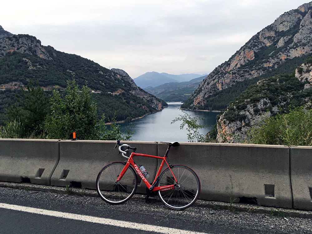
Around Sopeira the road starts to climb a little as it goes up to the big dam/lake that continues all the way up to El Pont de Suert (833m). Here in the photo at Pas d’Escales just before the dam.
I was not remembering the size and length of the Pantà d’Escales lake. In the photo here I am only a little over half-way along the dam. Tiredness was slowly going away now and I felt like I was back in the central Pyrenees to stay there (at least I should not be doing any far out detours like this one again). Just a little later a truck honked at me thinking it was as a hello only and gave a little wink, but realised later he had complained I had not put on my lights. But twilight had only just started and the sun was just going down, so thought it was a bit odd and the only time someone commented on the light during this tour. Did not get much use of the lights I had brought with me, just like my winter gloves, cap and overshoes.
It was a nice late evening and I was soon in El Pont de Suert, where I looked after a smaller hotel I had researched even here when making my first version of the plan and actually found it rather quickly even if it was not the easiest to find. It turned out to be a good place, but rather average overall. I had a beer in a pub in the evening, but the place was somewhat dead, at least on a Tuesday night. I was happy for having one of my longer rides this day (2nd longest), but not as many height metres as I strive for, but hard to do that with this long detour ride.
