
After breakfast I was off up the road (guess I could have left my backpack as I was going down the same way, but not sure about finding people there easily then). I was already on the correct road for the climb to my next pass, which was the fine Col de Mantet/Coll de Mentet (1760m). This is one of the three most interesting climbs of the area (as noted earlier) – the others being the Coll/Col de Jau (1506m) and the Col de la Descarga/Coll de la Descárrega (1393m), that I climbed in the two days before.
The climb is quite easy at first up to the little village of Py, where I was thinking of maybe staying the night, but not sure they have any accommodation there. They have a small shop and restaurant. From there the climb is irregular but mostly a bit steep. In the photo here I have reached the pass and somewhat early, luckily as it was getting rather hot.

I went down just a little on the other side to glimpse the village/houses just below where the road ends (would have been nice if this had been a through road, but it is not. Leaving out a few photos here, but in this one you see the houses below (they should have a good little restaurant and maybe accommodation too). I felt I did not want to spend too much time here as I wanted to go longer than the day before now, so turned around. The road is quite fine here.

Here the first glimpse down the valley one climbs and descends, on the way back down. There were a few cyclists this Sunday and some had been up earlier than me. Met a tired guy on the way up as I went down and now it was getting really hot – quite a tough climb in the middle of a hot day. This is the steepest of the three climbs mentioned and you normally start lower down that I did.

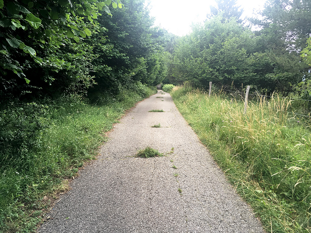
This is a nice serpentine section of the climb where you make good progress on getting up to the actual pass.

Another nice view a little bit further down.

A last view down the valley and now we see Py below where I stopped by the little shop to buy something to drink. Found a nice-looking local cola soda and went upstairs to ask if I could pay. Went back down drank up the soda, but no one was coming down, so left a euro and continued down the valley.

A last look up to the pass from the somewhat steep section above Py. It was starting to get more cloudy up at the pass and possibly I was lucky I was up in good time there.
It was a nice and long descent down to near where I had started up the valley the day before at Villefranche-de-Conflent at Pont de Sant Andreu (448m) (a car was driving a bit close near the end, typically when you relax, but all was fine). This is where the climb to the Mantet pass really starts and from there it is a good 1312 height metres up, which equals most really high climbs in the Alps.

So far so good, but now it was really hot at 34°C in the valley up along the river La Têt to Olette. I stopped in Olette and after looking for options went back to the bar in the centre and ordered french fries, a small beer and water, which was just what I needed.
At the end of Olette at Pont de Cerdanya (626m) the next climb started (the main road up here is very gradually climbing). In the photo I have just turned into this road and noticed it was much more cloudy up the mountains here than down in the sunny main valley. After turning off the road up the valley to Èvol, the road had lots of gravel on it (like so many times in Ariège this summer) until the turn-off for Oreilla.

Now the road was quite nice as it climbs a huge valley (Cabrils valley?) up toward the Col de la Sansa/Coll de Sansa (1775m), which unfortuantely is not an asphalted pass as it would be the most useful passage up here, but the road might be good enough for road bikes anyway as I been up it from the other side before without a problem. Still there are two through road passes all on asphalt up here: Col/Coll de Creu (1709m) and Col de la Llose/Coll de la Llosa (1861m), that I was going over this day in a odd way.
The valley felt very remote with very little buildings along the road. There was no rain, but very cloudy, nonetheless with good views.
Here is the road choice for the two asphalted passes just mentioned. I was a little unhappy with my road choice going down here before it would start to climb again up the other side of the valley (1084m to 1024m at the bridge at Mas de la Trapa).

The climb is then a little steeper than before up the mountainside to the turn-off for Talau (dead-end road). Up at Ayguatébia I met a big group of mountain bikers and I turned into the village as my map suggested I should and hoped to find a shop/bar or at least a water tap and asked a lady there, but there was none, but she went into her house to fill up my water bottle.
I continued and the road is steep up through the little village, but easy to guess and eventually one is up above Ayguatébia on a very narrow minor road which is still asphalted. There are good views from up there down over the road I had climbed up back down toward Olette as seen in the photo here.

The reason for taking this odd little road is of course because I found out about an obscure little paved road pass here (actually one of the last I noticed at this altitude in the Pyrenées). It is the Coll de Joell/Col de Jouel (1501m) and is among the not so many paved passes above 1500m, so of course I had to visit it!
A typical section of the road after the pass where the road goes a bit down and up. Believe it or not, but I met a car just after here, so not totally abandoned as it might look. There was a nice old road sign from perhaps the 60’s still left that I should have stopped to take a photo off also. Maybe it was this one seen in Google street view below:


Soon I was out on the road that I could have followed at the crossroad before as it not only goes to Col/Coll de Creu (and Col de la Sansa/Coll de Sansa), but alternatively takes a detour here via Caudiès-de-Conflent to go back to meet the other road it forked from below the Col de la Llose/Coll de la Llosa. Here I am crossing the ridge above Caudiès-de-Conflent at an unnamed pass by Serrat del Feix/Serrat d’al Feïx (1697m) (maybe the highest unnamed paved pass in the Pyrenees that I know of).

After a short downhill ride it was an easy climb up to Col de la Llose/Coll de la Llosa (1861m) where it was slightly chilly for the first (and only) time this day. But this is quite a climb directly from Olette (626m). It is unfortunately a very non-scenic pass and probably a reason it is not so much talked about even if an obvious one in the area.

From there it is downhill to Mont-Louis (highest town in the Pyrenees, but quite a small one), and just above I turned up to the major watershed on the vast and high plateau (Cerdagne/Cerdanya) up here separating France and Spain. The major pass here on the main road is the Col de la Perche/Coll de la Perxa (1581m). It does not look very nice up here unfortunately, but guess few wants to live close to the busy main road and it is nicer as quickly one gets a bit away from here.

From here I took the road following the mountains on the east side of the vast high plain toward Port de Llo, which I first thought was where I stopped to take a photo back here, but even if this was the high point (above 1600m), the vague pass is located a bit later on.

The plain slopes down into Spain here.

The actual Port de Llo (1579m) in the photo here from where it is a quick downhill ride to Llo village. Then I followed the main road from Saillagouse to Osséja, where I stopped at the café and watched the finish of the day’s Tour de France stage. Very few shops, cafés and restaurants open in the area on the French side (and not terribly many on the Spanish side either) – it is a rather rural area.

From Osséja (1204m) I started now a bit late in the afternoon the climb up a very poor, but asphalted, road to Cime/Cim de Coma Morera (2206m). So even if starting at high altutude this is still a +1000m climb. Here at the top (a closed circle parking place).

A gravel track/road continues up along the ridge northeast, but it is only for mountain bike riders. I think the fence here marks the border to Spain.

There is a border stone at the top. Here is another nice stone monument. I had wished it was a bit clearer and more sunny up here, but the views were still good enough and the sun came through here and there. This is one of my favourite photos during this summer.

Here I look down south over the road I was going to climb up on the Spanish side the next day (it looks far below even if it is one of the higher asphalted roads in Spain up above 1800m) (not so visible in the photo here though).

Looking back down near the closest pass up here (Col/Coll de la Bassa (2111m) 750m from the road).

Just as I was leaving the sun came through and took a photo here up the last bit to the top documenting all the cows and the poor surface.

On the way down I stopped by the only pass on the road, which is some metres in on the alternative (longer) road up the middle section of the climb (did not take that in either direction and it looked even less good and should have an extra up and down along the way). In the photo here is where that road comes up to the pass and you see the harsh pavement.

Here at the Col/Coll de Pradelles (1991m) itself, which unfortunately is just below 2000m, but one of the highest asphalted passes in all of the Pyrenees and likely one of the least visited by road cyclists among those at this height or higher.

A last photo just above Osséja over the plain that I was then to traverse.

It was now 19:00 (or slightly later) in the evening, but decided to try and get to the last asphalted pass in the Club des Cent Cols catalogues (have had a hard time finding any official references for this one though, but there is one later on, on a gravel road (not so marked in the same catalogue, but the locals said that road was too bad so turned around at the first one). Here I have crossed the plain via Bourg-Madame (1140m) and lowest place inside the France on this side of the Col de la Perche/Coll de la Perxa. Funny named village of Ur, where a local small train goes – the train driver waved at me along the road, if I remember correctly. (Ur means ‘watch/clock’ in Swedish).

Some locals looking strange on me wondering if they maybe knew me as I went up the small one-way road now very late. Here I am at the vague Pas d’al Lloup (1597m).

Close to the mountains on the other side here and no higher road up in this area. Just a bit ahead beside the road you see some stones and there was some hunters out late that I asked about the road after Bena (located just out of the photo to the left) and they advised me that I could not get down that road and given it was so late I had no wish to explore this further.

A last photo (maybe took this on the way up when looking on the map for the right road) and it was nice up here in the late evening. Just as I got back down it more or les turned dark and the short-cut crossing I had planned over to Spain on a very minor road was a bit hard to find and not exactly meant for anyone but those who already knew about it from what I could make out (asked for direction once back down in Enveitg and they told me about the long road around, but I pointed out there is a road straight ahead and then thought I likely find it myself then and wished me luck).
When I crossed the border (not marked) it turned very dark and the little road was a bit busy with locals in the evening so had to be careful. I came into Puigcerdà (1150m) where I stopped by the first hotel I saw at the train station, the Hotel Terminus. The hotel was not very good, nor very bad, but could not eat there and had to go to the hotel I stayed at the previous time I stayed in the city, where they was happy to serve me. Not sure there was any other place to eat at this evening. It had been a long day and I was sleeping well.
