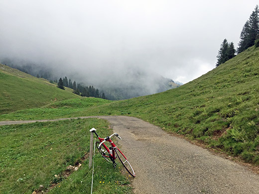
Well, the day started fine, but with ominous weather all day long … . At least that made the temperatures almost perfect and finally I could no longer complain on the heat outside and it showed in making this a fairly long day in terms of kilometres and height metres, even if it ended a little before it should have.
First a nice and easy ride down to Sonthofen (731m) and found the correct road rather easily up to Gunzesried. From where a small road continues to climb slowly in stages up the long valley. First near the end of the valley there is one switchback and the road is here somewhat steep the last stretch to the Scheidwangalpe/Pass Scheidwang (1316m). From there an even smaller road, and much steeper, climbs in odd ways up the side of the Leiterberg. Here I have finally reached the pass on the other side of this mountain at Obergelchenwang-Alpe/Leiterberg (1546m) (road height before the pass is 1585m). This, if truly regarded as a pass, should be the highest asphalted road pass in Germany! (I think it could be regarded as a pass as there are narrow valleys between two mountain peaks here down both sides, but you descend to the pass if using the road.)
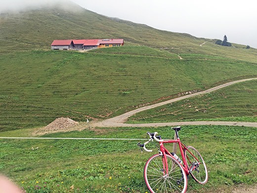
Another view and of the Obergelchenwang-Alpe itself.
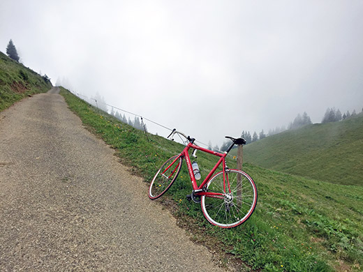
Here is the road back up to Leiterberg – nice, narrow and steep. The weather could have been better … .
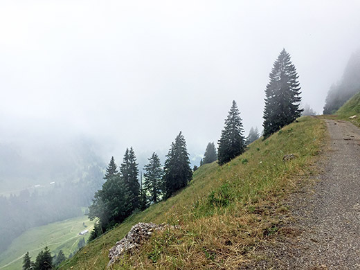
Here you can get a glimpse down the other side of the Pass Scheidwang. Not any guardrails here, no.
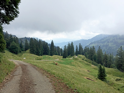
This is the road up from Pass Scheidwang and here it looks fine, but it is really quite steep and extremely unevenly, which is also helpful as you can recover between the numerous ramps.
Down the same way back in Autal, but turning off on the first asphalt road climbing up again on the right hand side (south side) to Höllritzer Alpe (1445m). The road descends after the the first climb and there were some road work there. Then it climbs not too steeply to the alpe.
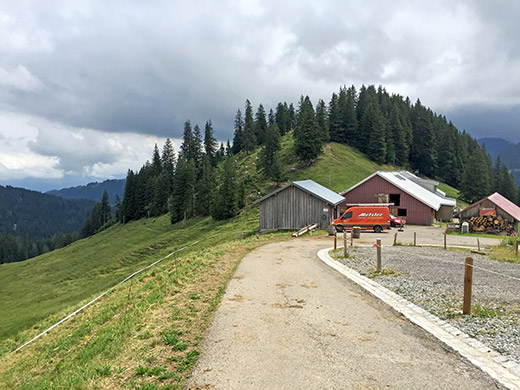
Here at Höllritzer Alpe did I get a last Hollunder soda, while the family here was eating. They asked me about English words for certain things I was not sure of in English myself, like a baking tray (or what it is called).
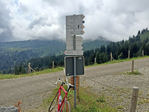
The road down the other side here starts flat and asphalted, but should soon turn to gravel (did not go and check this though and it was asphalted for as far as I could see).
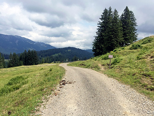
Just before reaching Höllritzer Alpe there is a road taking off up to the ridge. It turned out to have some parts asphalted up to the high point, so perhaps 300-400m gravel and 500m asphalt. Looking back this road from where I came up.
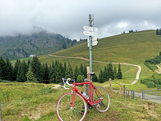
Here at the high point (where the road is asphalted) (1511m) and looking down to the continuing road and the little pass here – Auf der Scheid (1489m) (as I found on an old map for the area), so another for practical reasons, asphalted road pass above 1400m in Germany.
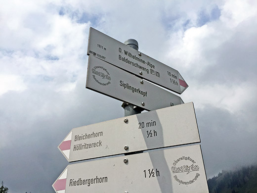
The 1511m sign a the top.
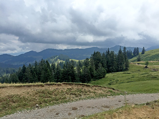
The way down the other side was exclusively gravel for some kilometres.
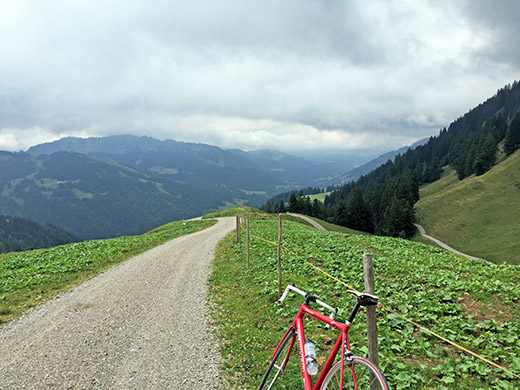
The road is looking pretty nice here. The worst part was in the woods seen to the left and just after the woods the asphalt returns again. From Obere Balderschwanger Alpe (1350m) a steep asphalt road goes down to Balderschwang (1044m). The reason to go down this road instead of going back may not come across as all that obvious as I was about to go back on the road toward from where I would have come if I had went back at Höllritzer Alpe.
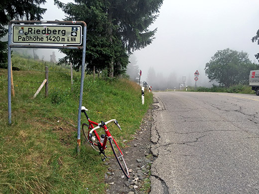
It seemed closer and faster to just go back up to Riedbergpass (1380m) and back again from Balderschwang that going around Sonthofen and up here, especially as I had decided to cut out another climb thought of in the area (a BIG climb to Fahnengehrenalpe (1329m)).
No luck was not with me this day. It turned out that they had dug up the main road over the pass for quite a stretch where it was worse to cycle than up on the gravel road I just had come down and now I had to go over this stretch twice, eh. I was not going to skip the Riedbergpass though, which is usually considered the highest asphalt road pass in Germany and I eventually got up to the top in the gloomy weather and the pass is not exactly beautiful either.
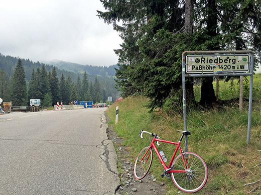
The German show us that they can be as inexact in their optimistic height numbers on their signs as in Italy or France. The road height here is like 1407m, but the pass is not really located here, a bit further to the west at ca. 1380m. (In some German speaking areas in the Alps they tend to mark the pass at the height of the pass road instead of at the pass, in the few cases these are not the same place, like Gerlospass, Glaubenbielen Pass, etc.)
It was a long road that only slowly descends after coming back dow to Balderschwang and almost without notice somewhere down the valley took me back into Austria for the last time this year. Eventually met a cyclist, but only saw two more toward the end of this day. Down at Hittisau (791m) I finally found a village and a café where I stopped to have a coffee and cake. A nice little place.
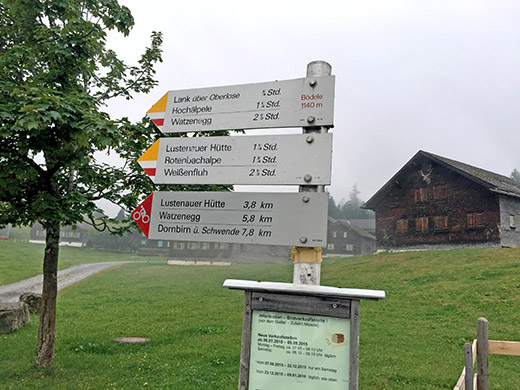
Then down to Lingenau (684m) and there took the road down to Egg (546m), a bit bigger village. Here starts the next climb up via Schwarzenberg (696m), where I stopped for water, to Bödele/Losenpass (1139m). It was a nice climb up here even if there was quite some traffic on this road.
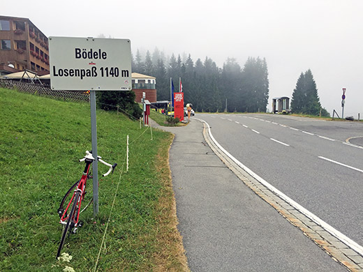
The descent from Bödele is also nice and the climb is longer on the west side.
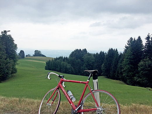
Here on the descent from Bödele to Dornbirn I finally got to glimpse some nicer weather in the direction of the Bodensee.
Then I continued on the main road back up the mountain towards Liechtenstein and Switzerland. It is flat for quite some time here and wondered where all mountains had suddenly disappeared. Eventually I got back to them again. Had thought about climbing the Millrütte (1105m) from Götzis on the way here (also a BIG climb, and also a possibly unnamed pass), but had to skip that also as I was still one day behind in my schedule.
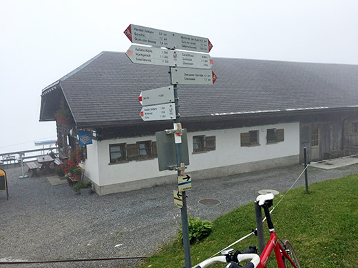
I went off the main road to Weiler and Sulz and just as I reached Rankweil (492m) (via Muntlix), I turned off up a climb I had skipped on the way to Italy earlier on the tour. It is a rather long climb from Rankweil, but I felt fine and went well up to Übersaxen (899m) on a wide smooth road. From there a small nice road climbs quickly at first, but soon becomes almost flat as it follows the mountainside.
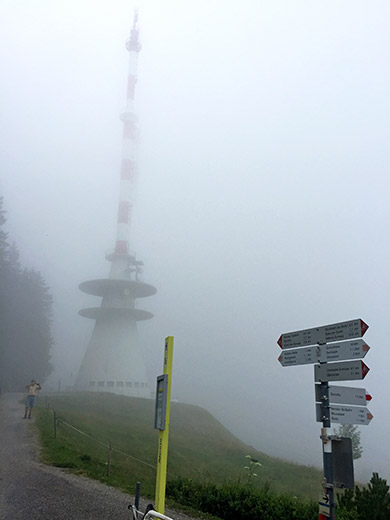
This road goes to Dünserberg. I turned off at Furtsch (1123m) to climb to Älpele/Dünser Älpeli (1558m). There is a sender tower at the end of the asphalt road and just before there is the Älpele gasthaus.
There is a gravel road continuing in roughly a kilometre from the sender to a pass called Hinterjoch/Jochstapfa (1610m), but thought the gravel road looked a bit too bad and I was getting a bit late and no views up here this day either, so took some photos and talked shortly with some other unlucky tourists up here. Then I went back a little bit to go up another very short climb on gravel to another obvious pass here, but with no obvious name.
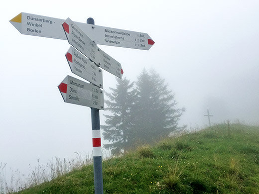
Gerachhaus (Egg/Dünserberg) (1515m) is reached on a 150m gravel ramp after getting over a bar across the road. The Gerachhaus is reached from the pass here on an another short ramp that is asphalt again, but I was happy with a photo here of a sign at the pass. So now I could finally check off all possible +1400m asphalted passes in Austria as done.
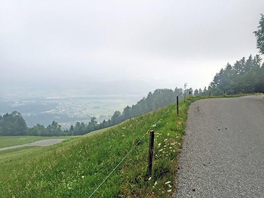
Down I went feeling happy the Austria and Germany adventure was at an end and also the day soon.
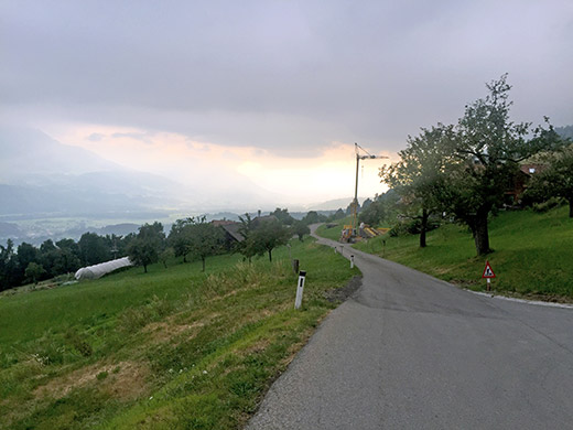
This was the last time I stopped for a photo further down the road to Satteins and Feldkirch, before going out of Austria over the border to Liechtenstein and the road I had travelled on earlier this Summer. I stopped in Feldkirch as my cycle computer had decided to stop working and had problems getting it to get going again – Ciclosport CM 9.3a, which had worked reliably most of the time otherwise this year (probably partly because of lack of really bad weather). Just after I crossed into Liechtenstein it started working again at last and now longer had to worry about that.
I was more worried about getting up the mountain to find some place to stay for the night now. I had planned to take the first small road in Vaduz that climbs up the mountain and after the turn-off for Gams, where I had come from earlier, the traffic almost disappeared and I started to look up the mountains after a possible road up there, but it was a longer ride into Liechtenstein than I had remembered that it should be (I thought it was before Schaan and Vaduz without looking at the map).
Then almost at Schaan as I followed the white line on along the side of the flat and wide road it all of a sudden felt like the bicycle pulverized under me or exploded. On the ground in pain I looked up on the bicycle and noticed a bit baffled that it seemed to be in one piece. I did not look up the mountain right here, but had still failed to see that the white line had been transformed into a curb (line of stones) with the same width as the white line and almost the same colour (esp. now that we were on the verge of reaching twilight in the wooded section of the road). They had even started the line of stones with the same height as the white painted line and then made them gradually higher. Were I felt shortly after the stones were still not very high and was not sharp on the side, but rounded, but still if you run into it and land on the side of your body against the edge as I did, things will break … .
I looked in the direction of the cars and none was coming and noticed they would have ample of time to stop before running into me, so decided to stay on the ground a little longer before trying to reach myself up. Before that happened a young couple already come and stopped and asked how things was etc. As I explained what had happened, a big police car came from the other side (oddly, as I do not think they had been called upon) and they stopped and I decided to get up. Got dizzy for maybe 2 minutes before going back to normal again. Turned my (right) arm around to see that it was possible and took a deep breath to make sure the ribs were in place.
The police asked if they should take me to the hospital and the young persons though that sounded like a good idea. However, as I explained to them, I was about to climb up the mountain here to find a place to sleep at for the night and would like to continue tomorrow further up to Malbun, if things turned out not to be too bad in the morning. I tried to put on a face of not being too badly hurt and I did not really know how it was. I was not all certain my idea was sound though. The police explained to me that along the road I had planned to go there was not hotel or lodging, not until I came to the bigger road. I asked if there was a place on the bigger road up and they said there was one, but it was not quite that cheap hotel I was thinking about.
Thinking a bit about the options, I thought that I was not totally sure if insurance would cover hospital visits in Liechtenstein (or Switzerland) and I also wanted to get something to eat soon this evening, and be sure not having to leave the hospital late in the evening to then find a hotel if things were ok with me. So decided it was likely best I talked the police into taking me to a hotel and then all they could offer was the not so cheap one early on the main road to Malbun, so that it had to be then and I was happy for it and thanked them all.
Took a shower and changed clothes and went down to have dinner and told friends on Facebook that it was not clear if I could continue the next day given the accident, but would decide in the morning. As I went back to bed from dinner it was already perfectly clear that there would be no more cycling this Summer. Now all adrenalin was gone and I had a tough time getting back to bed even.
In the morning it was hard to get all things done. Showered again and shaved my face and packed all things down. At least I did not need to also wash all my clothes in the evening before. Ok. I now see I told this part of the story in the beginning, so let us stop here. As I write this I have just in early November managed to make my first little short ride on the same bicycle outside again.
