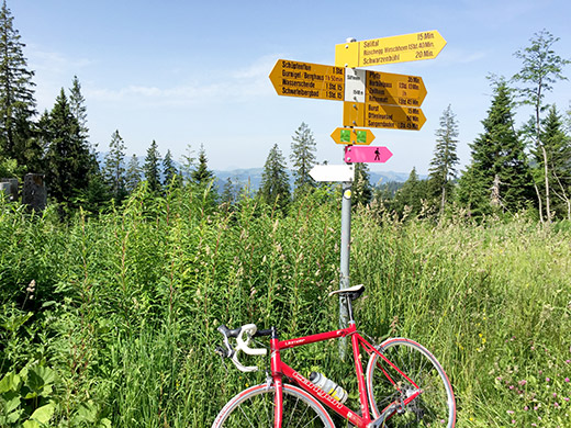
It is a nice climb up from Sangernboden to Ottenleuenbad on a road that is initially somewhat steep. As one climbs up above this village the asphalt runs out and a mostly flat gravel road continues to Süftenen(pass)/Süfternen (1546m). This last stretch is not nice at all and the road dusty, but once at the pass (that for some odd reason seem to lack a pass name), the road in both directions up here is asphalted. To the right (east) one goes to the Gurnigelpass and to the left (north) one goes down to Riffenmatt (1077m), which is yet another unnamed pass.
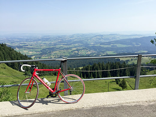
On the way down to Riffenmatt I stopped at the lovely viewpoint by the Schwarzenbühl hotel/restaurant as seen here. Not much mountains ahead up north from here as we have very much reached the north end of the Alps. Nothing much to see in Riffenmatt, so I continued on the high road to Guggisberg and then down and up via Zumholz and Rechthalten, where I think I stopped again for soda and yoghurt and maybe something more.
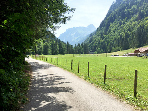
It was a long ride around the mountain I crossed over at Auta Chia d’Amont (1458m) the day before. Seemed a bit strange to go in circles like this, but I had figured out it was the smartest way (not all sure, but likely so) in order to climb the roads I most wanted to have seen here. I stopped to wash the bicycle on the way between Giffers and Le Mouret, as it was about time with high pressure water at some gas station as usual.
From Le Mouret it was a tiresome but mostly downhill road eventually to Corbières and further to the Jaunpass road again. This time I went a bit further on this road before turning off soon after Charmey at the last turn-off before the language changes to German up the valley by Pra Jean (890m). First I stopped at a café in Charmey. The road up the small narrow valley here at Pra Jean looks really nice and easy, though that was alarming to me as I knew this should soon turn into a climb. You see the valley very early on here.
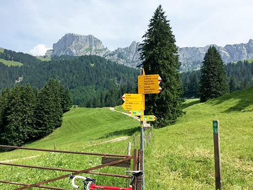
I had initially planned to climb a difficult road to Col des Hauts-Crêts (1557m) from this valley on a small road with 640m gravel road at the end, but had to skip something as I was behind schedule. Anyway I had the climb ahead to conquer now, namely Gros Mont/Passage du Jeu de Quilles (1404m), which should not be more than a 500 metres climb. BUT, as the climbing seemingly never started this was not going to be easy either. Once it starts it is very steep all the way to near the top. And I also had problems with insects again here. Often close to 20% on a road desperately climbing up next to a waterfall for 300 height metres.
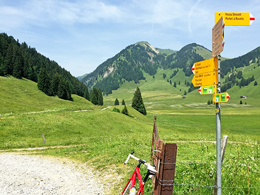
Once up the road is easy again, but asphalt runs out right away at a parking place here by Gros Mont. The road ahead looked somewhat good in photos I had seen, but was very much only partly usable with a road bike over the long plateau at the top of the pass. On the other side a better gravel road started down the valley and I had somehow thought that it should not be steep as it seemed somewhat long and without a big height difference, but it was still a bit steeper than I had thought and the gravel road got worse further down and had a place that was a bit dangerous with concrete and gravel on it.
All went well, but in the end the downhill ride was as exhausting as the climb as I had to brake most of the time and be really careful as it was just about doable on a road bike (surely not recommended).
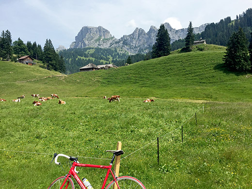
It was however very nice up at Gros Mont as I suspected and as you can see here.
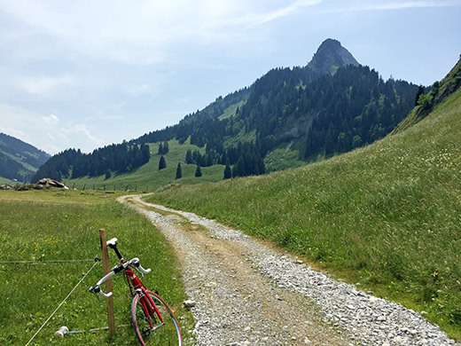
Looking ahead here.
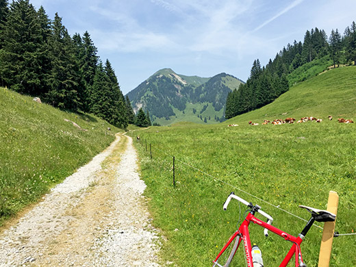
Looking back a last time.
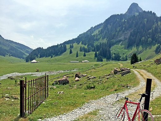
Looking ahead again a bit further ahead. The first house down there is a restaurant, but I did not want to stop now in the middle of the day with an uncertain gravel descent ahead (also was not lunch or dinner time and saw no guests). At the second house a better gravel road starts and it was really nice early on.
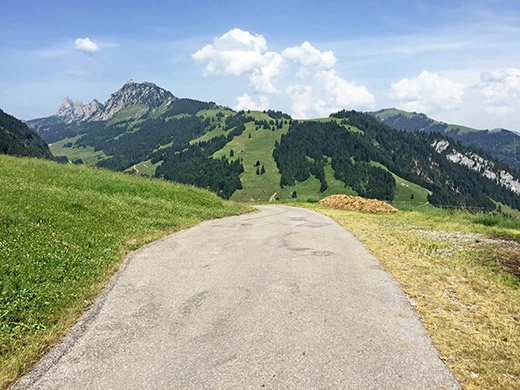
It was with a big sigh of relief I got out on the asphalt road up to the next pass – Col de la Scierne-au-Cuir (1397m). Now this road is very good, but once again it was terribly steep, so I was soon very tired again, but it still felt good having done the worst for the day and this climb was also not very long. Here I look back at what I first thought was the pass height. One can see the valley with the gravel road to Gros Mont, which would have been a terribly popular road wit bicyclists if it had been asphalted. The road then goes strangely down again and then up a little higher (to at least 1403m) before descending slightly to the actual pass in the next two photos.
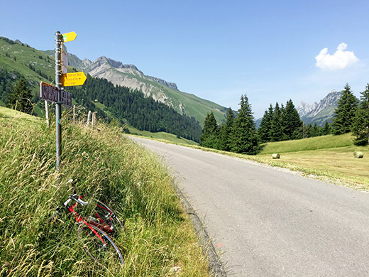
Looking back from Scierne-au-Cuir.
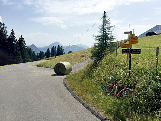
Looking ahead at Scierne-au-Cuir.
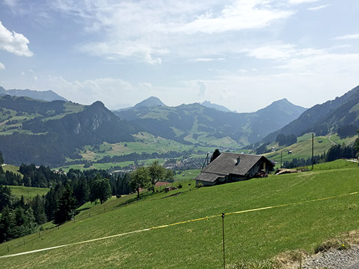
On the descent to Château-d’Oex (where a doctor works that I shared room with this Spring on the vacation down in Gilette near Nice). The descent later is paved with concrete blocks. Once down in Château-d’Oex I stopped at a café for a coffee. The café was so hot itself that I soon had to leave.
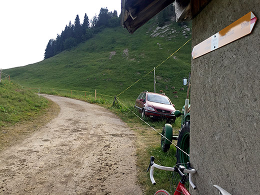
There was one curious place that I have been nearby several times before in the area that I had deemed could become classified as a pass by someone other than me, so I better go there and see this place too as it was asphalted and above 1600m even. This is near the famous Col des Mosses (1445m) and although it felt like I was soon back in Martigny and where I started, this was the last one before moving on eastwards.
Near the top of Col des Mosses coming from Château-d’Oex (as I also did last Summer) there is a small road taking off by a big parking place to the left. The highest surfaced place along this road is at ca. 1699m (or maybe over 1700m) at a place called Le Soere/Sori. This is between two mountain tops (Corne du Soere and Corne des Brenlaires) and there is a path going down to L’Etivaz from here, so it could very well have been designated a pass, but relatively useless as such, but since it fits the category, I regard it as such.
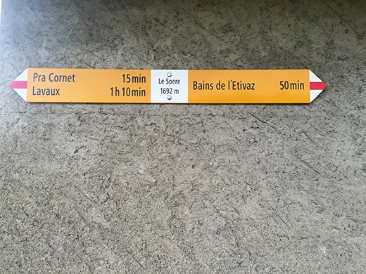
In any case this is a quite nice viewpoint and also the highest point reached from every direction nearby on an asphalt road, so it feels like the natural destination for the climber-minded person. The road up from Col des Mosses is also not without problems. It is very unevenly steep: sometimes flat and sometimes quite steep on concrete sections.
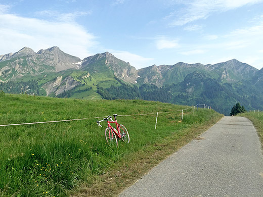
Here is from the Soere pass height looking back toward Col des Mosses.
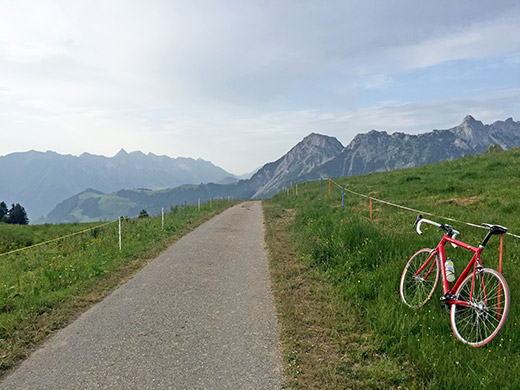
Here we look in the other direction toward L’Etivaz and Château-d’Oex.
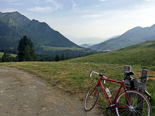
Here overlooking Col des Mosses far below.
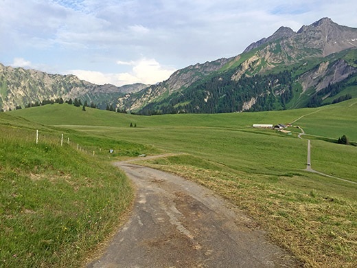
Overlooking the Pra Cornet area where you come up. Straight ahead here is the most obvious pass, which is also sometimes used by mountain bikers, but it should be rather steep at first on a path down the other side and even though I had at first intended to go over there, I thought it was not a good idea as it was getting late.
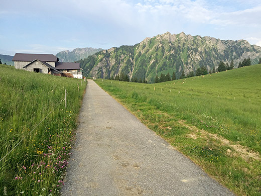
This is the nearby Les Brenlaires (1675m), which is the place at first blush that looks like the most obvious pass up here, but the problem here is that there is not really any path going down the other side just here. Still I could have accepted this as a pass too if it had been named, which I asked the man living in the house here about, but the only pass he cared for was the Col des Mosses, which is understandable ;-).
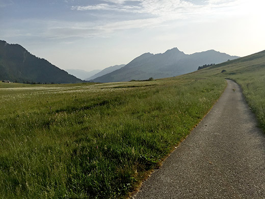
Looking back from the same point as above. To the right the road climbs up to Le Soere.
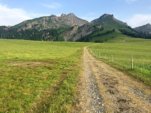
This is on the gravel road to the more obvious pass that is actually in use as such, but did not have enough strength to also explore the sign ahead as the road could have made get a flat and too late for such things now. I think this sign also lacks a proper pass name.
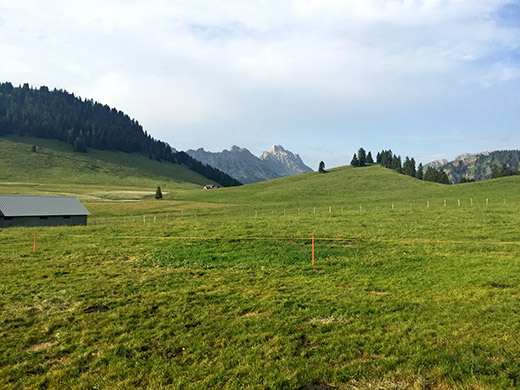
Looking toward Les Brenlaires from the same point as above.
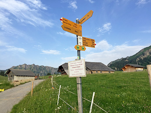
The sign at the crossroad where you get up to Pra Cornet (this place also stinks a lot as there is a pig farm right here).
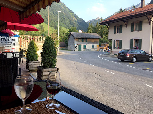
I went back down to L’Etivaz and a little reluctantly decided to stay at the hotel there for the night as I was uncertain about finding any better and cheaper option toward Saanen (which was likely a wise decision). The hotel was fine (nothing special).
