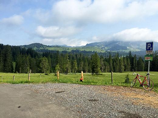
Yes, I didn’t get any breakfast as the hotel was closed on Mondays, but the little grocery shop across the road was open early so had a coffee there. Took off a little earlier this day and in nice weather climb the second part of the climb from Interlaken to Alp Lombach/Feldmoos (1563m), which is another obvious pass without a pass name and also one of the highest I had not done before.
It is quite sweet up above here and the road is never terribly steep (a bit irregular). The pass is just after a restaurant up at the Lombachalp. The road then continues rather flat around the mountain. I was never intending to go down the other side, which should eventually turn into a gravel road much far below. One could also continue along the mountain ridge to Ällgäu where the asphalt runs out at ca. 1685m height (in the direction of this photo), which is the highest asphalted point here.
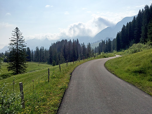
I continued as the asphalt looked so inviting and the road was easy to Saagiegg (1596m) (high point before descending is a little further ahead at Färrich (1602m)). Hard to find a better road than this as you see in the photo here. I had overtook two mountain bikers near the top and met them here again as I turned around. Great area to go cycling in with any bike, but better options with a mountain bike. I believe there is a short stretch down the other side here that is pretty rough and might not be possible with a road bike, but even so it would be much faster walking that stretch than trying to get around! Now, I maybe should have done that in retrospect as I was anyway going to skip other climbs on the way over the Brünigpass, but did not quite think of that as I had not yet completely decided on the road ahead, so followed my schedule and went back down to Interlaken.
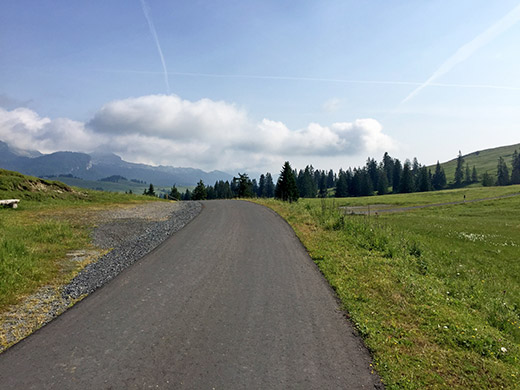
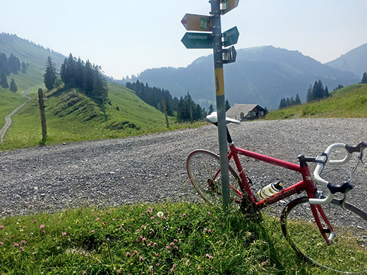
First two photos in both direction from the pass height at Lombach/Feldmoos (1563m). Here looking ahead. There is no road straight down here, but one has to follow the road I took around the mountain and then descend further left in this photo and it takes a while before the road really starts to descend and when reaching the river bed down there the road will turn to gravel at 1388m and then eventually get back to asphalt at 1090m. Then to get “straight” on to Sörenberg one would again have to handle some gravel of unknown quality. They don’t seem all that interested in building through-roads in this area … .
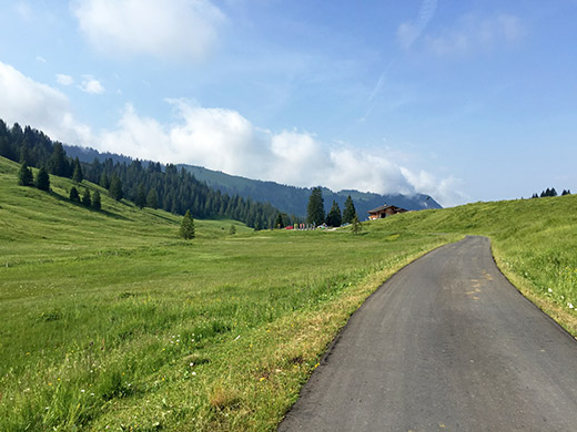
Here we see the restaurant just before the pass. It is rather flat at the pass.
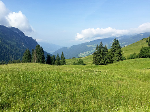
Here we can glimpse the Thunersee far below.
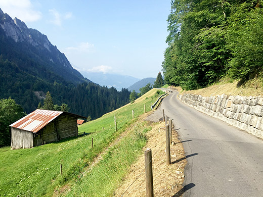
It is quite a nice road as you see here.
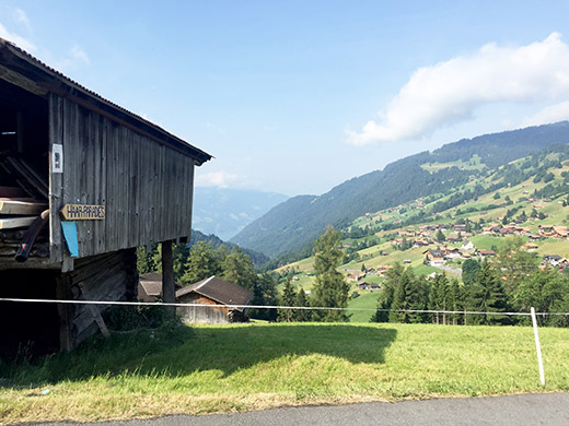
A view of Habkern and the way down. There is a little climb to Habkern just before on this road and from here it is quite steep down.
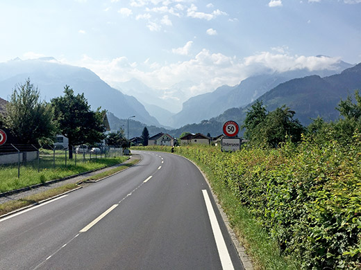
Down again at Unterssen, by Interlaken and already during the morning hours they had asphalted a good part of the stretch not asphalted the evening before – must give my compliments for fast working there! Here I look up the valley to Grindelwald and the great mountains up there – Eiger, Mönch, Jungfrau. Had wanted to get up to Männlichen (2320m) in good weather to get a really nice panorama, but it looked a bit too cloudy this time too and anyway I was late in my plan and the climb could be too hard for me in the heat which were now starting to come upon me.
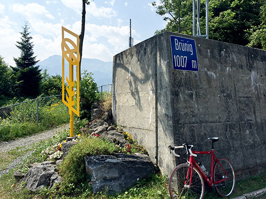
So once again I cycled along the Brienz side of the Brienzersee to the Brünigpass (1008m). It is a fast ride. The climb to Brüingpass was a bit tough despite not being a big climb – easy to think of as just a transportation stretch, but with traffic and warm weather it is still a climb of around 433 height metres to tackle.
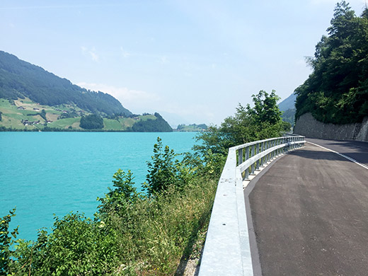
The road from Brünigpass is nice and fast down to Lungern (715m), where I stopped by the first grocery to drink and eat something. I waited for a while before leaving to feel better for the upcoming heat further down at Sarnen (471m). On the way down to Sarnen, I stopped to take this photo of the extremely turquoise Lungernsee. The colour is not made to look like this in Photoshop – it was certainly not less strong in its colour than in the photo, but possibly even stronger.
I was a bit too tired to think of taking short-cuts, so just took the normal road down to Sarnen and over Kerns (595m after) and hanging onto a rider overtaking me for a while, before he turned off on a pointless bicycle path. Just without reason I suddenly felt like going fast, so went away from him in full speed down to Stans (452m) where I stopped for a coffee and ice cream watching the other guy going through.
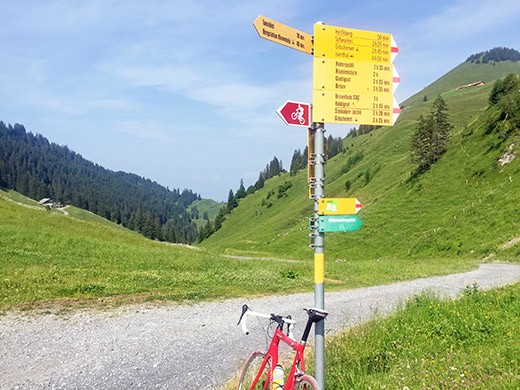
It was middle of the day now, but no excuse for not continuing so I continued down to Buouchs (439m) and just after at the height before Niederdorf, I turned off on a small road following the motorway to Oberdorf (463m), where the next climb started to Stafel (1532m) and Klewenalp (1593m). This photo is from where I arrived at the unnamed pass (Stafel) behind the Klewenstock (1748m) mountain (looking ahead into Isital).
The road from Oberdorf were under some kind of reconstruction that might make it less steep in the future. However it started out quite demanding with many parts up to 18% or more. I was already exhausted when I reached the woods just a bit above. I stopped. The road then continued at ca. 14-15% to a bridge and then less steep, but as I came out of the woods to an opening and a resting place with water I stopped again. Here an even narrower road begins.
The road is then rather boring and even a bit easy for a while, but as it crosses the Stafelbach at Steinstössi (1243m) it is again hard going to the top. I was surprised to find a section of gravel (200-300m) and then it was asphalt again to Tannibüel (1521m) from where it is gravel again to the pass just above at Stafel (1532m) (signed for at the turn-off just before the top: Stafel 1525m, while there is no sign stating the height or name at the top itself). The road on the other side is gravel for a few kilometres and I was just not into exploring that alternative this day. Here I look back down from the turn off for Klewenalp.
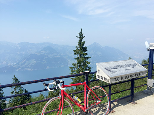
Since going all the way up here, it would be stupid not also visiting the nearby Klewenalp (1593m), which is reached on a sometimes not so good gravel road (reaching 1600m), but all cyclable with a road bike. From Klewenalp one has great views over the Vierwaldstättersee as seen here.
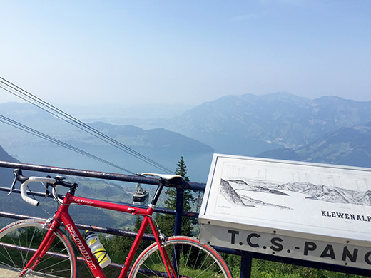
Here looking toward Luzern.
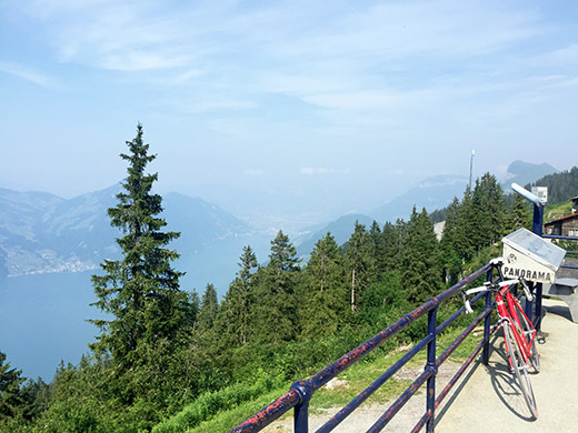
Here trying to get a better view of the Brunnen area where I was heading and which I would pass by again the next day.
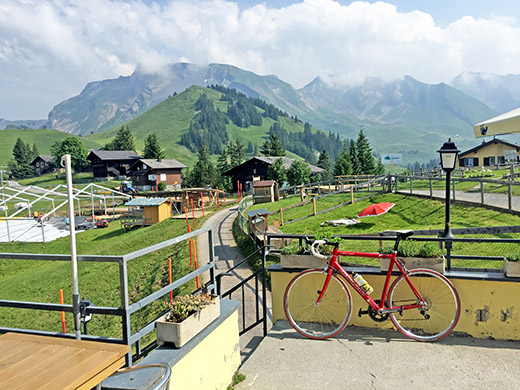
I had a radler soda at the restaurant by the lift up there and here is the view in the other direction from the restaurant. The Stafel pass is behind the small mountain, Klewenstock (1748m), just ahead and the big Schwalmis (2246m) mountain in the background.
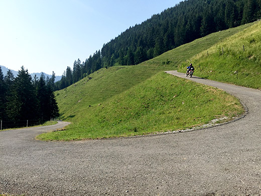
Here is one of the nice serpentines at the final part of the climb up to Stafel.
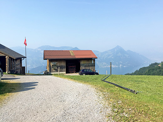
One nice view from the open middle section of the climb.
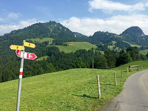
And here we take a last look back up to Klewenalp before I went down trying to look for the ferries on the Vierwaldstättersee. On the way down I noticed a ferry that was not going to Niederdorf (the Beckenrieder-Gersau cheaper ferry (also for cars)), but it was obviously the other ferry-service that goes around the whole lake to many places. It stops in Beckenried, but I did not know where and had not taken it before from/to that location.
The road is steep and I had to look on the road and down by the houses I could no longer see the ferry from any place. I just took a chance on what seemed like the right direction to descend in and guessed the way down to the coast and made my best to go as fast as possible. I was lucky to end up just at the right place and the ferry just let passengers off when I arrived and could walk straight on and off we were 3 minutes after I arrived, so pretty good timing there.
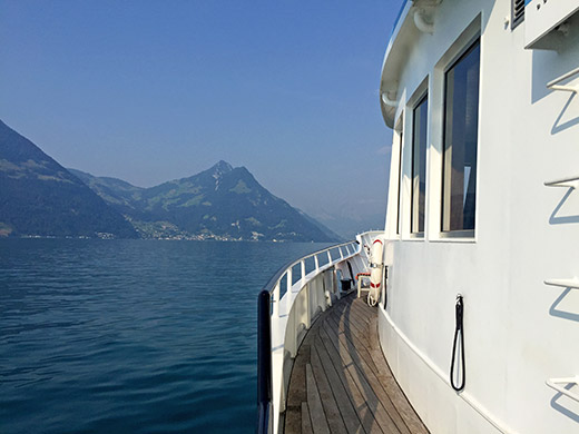
Here I took a photo as I walked to the front to take a seat next to an American older couple from Detroit or Chicago (cannot quite remember), but they were nice and we talked a lot until I went off in Brunnen (they were visiting their daughter staying in Switzerland).
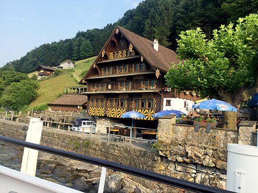
Here is a nice (and much photographed) house at the station opposite to Brunnen at Treib, to where I went the first time I took a boat on this lake (from Brunnen).
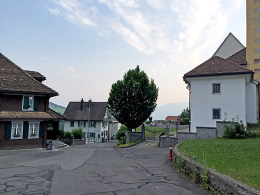
At Brunnen I took a small road climbing up on the left side and then down again a bit further – not sure this road was quicker, but more fun. I got to the Lauerzersee and went up toward Seewen, thinking I could turn off to Steinen, but that was not possible, so continued on the main road up to Sattel, which is supposed to be a village, but not a pass, even though there are two passes quite nearby (one named Biberegg and the other possibly Hageggli, but the naming is not that clear for either pass). The name of the village could possibly arrive from a little pass-like road over the ridge in the village and I went to look from the bed and breakfast I stopped at here for the night (not so cheap, but good). No signs suggesting anything about a pass here though, but at ca. 820m it is the highest point on one of the two roads over the Hageggli pass a few hundred metres north from here.
I took the bicycle down to the only open restaurant thsi evening down by the train station and guess I had a wienerschnitzel and beer. Some road cycling girls also was at the restaurant. Had not seen many cyclists in the heat before, but some where out cycling just before the dark when temperatures were more realistic for cycling. During dinner I decided to still do the next climb planned here – the Rossberg-Wildspitz (1580m) in the morning the next day.
