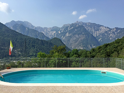
I decided in the late evening what to do next day and it was to go back to do the missed Passo della Forcella/Crist di Forchia (1825m) and do it properly and get back and continue to Sella Somdogna/Sella di Sompdogna (1392m). It was quite warm in the morning. After taking some photos of the new swimming pool at the B&B I finally got on my way. I decided to take the road over Ovedasso to escape the gravel section at Moggio and it did not take so much longer time.
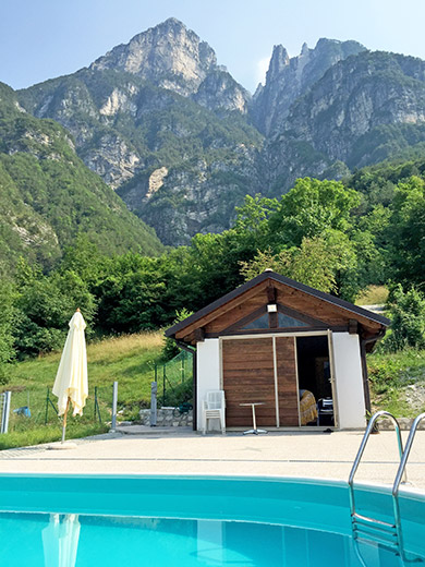
Then down to Tolmezzo, Villa Santina and up the same valley (Val Degano) to Ovaro (by Monte Zoncolan).
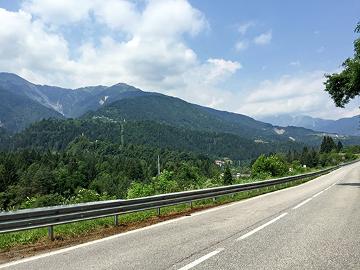
On the way to Ovaro I took this photo overlooking Mione and the mountain up to the Passo della Forcella. It doesn’t look very steep from here. Found a bar above Ovaro to have a coca-cola and ice cream before starting out on this climb. The road to Passo della Forcella only became fully paved last year as I understand it. It has been suggested for the Giro d’Italia, but I would say there is zero chance of it being ever part of the event given that the professionals simply would not get up here (at least not all of them), supposing they have normal gear, but likely they would have some lighter gears when going here, so maybe they could do it.
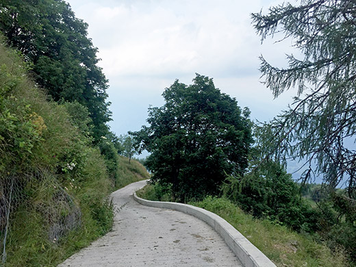
It is nice and easy on a normal road to Mione where it is only partly over 10% on average. There were some construction work in Mione (also filled up water here, I think) so had to walk by it and I could see the construction guy looking with disbelief as I went by. Just above the village where the woods start, the road becomes narrow, but nicely asphalted. I had feared it would becomes terribly steep at once, but that was not so.
I also was not sure the road actually had been fully paved as the comments to the effect on quaeldich.de was not conclusive, but they have just also updated their description as another guy was there the month after me this Summer. Almost a kilometre after Mione the road eventually starts to climb for real. There was then a first sign saying 28%, but it was not really that much here, just around or a bit over 20%. But the road becomes ever more consistently steep and when reaching a point before Stavoli di Chebia (1250m), that used to be the end of the asphalted climb up here, you have done well, but it is really here the road starts to get very, very hard.
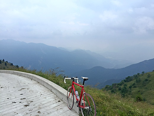
One climbs up some twisty, tormented curves above 20% and then you have another 28% sign and this time it is actually 28%. Exaggeration is starting to become impossible. Still, if driving carefully there are a few metres here and there that allows for some recovery. Even so the ramps are all now far and above 20%. On top of it, it was now starting to rain (a light drizzle) and the surface became wet so I had to sit down to make the last asphalted ramp and at the very last asphalted ramp I decided to walk even if it was not the steepest as I did not want to spin loose.
The you get out of the woods and the concrete surface starts. I walked a short bit as there was a lot of cow dung on the concrete here and then cycled on the not so steep part (like 12-14% at most), but then came the somewhat long last ramp which would kill most people with standard gears like me: 39/28. It is soon over 30% and so continues to the top (almost), maybe max 34% as suggested by someone. I met no bicycles, not even mountain bikers, along this road. I did meet 4 motorcyclists. two of which I met on one of the steep asphalt ramps and they looked very happy and gave me thumbs up. The last two I met near the top on the steep concrete ramp and they shouted ‘fantastic!’ even though I was merely walking now. If motorcyclists are that happy to see you as road cyclist, you know you are into something special!
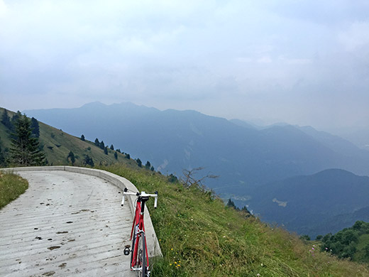
Actually, as far as I know, this is the steepest paved pass road in the whole world since it got fully paved! The Monte Zoncolan one have all the reasons to regard as a really hard climb, but compared to this road it is pretty easy. Seems like the guy at Quaeldich had to walk the same parts as me even though he apparently got 34/28 and I must say that I have never done as hard a climb as this even if I had to do some walking. Well, the climb to Alpe Vaccaro was as hard or harder, but also shorter.
The actual steepness is above what salite.ch has it. It is correctly calculated 14.94% on average from the turn-off for Mione where it climbs from 507m to 1825m for a length of 8.92 km. (It could be that the length that I base on the measurement on gpsies.com is slightly too short and the CTR 1:5000 could be off by a metre or two, but it should be about as good as measuring with a bicycle computer as on salite.ch. Length should be possible to measure with greater accuracy, but this should do. Also note that the the actual travelled distance is longer than the one normally used to calculate the steepness with: see theclimbingcyclist.com.) From Mione (711m) it is 6.6 km with an average gradient of 17.24% – that is a figure far and above Alpe Vaccaro, Monte Zoncolan, and you name it. The only paved roads steeper than that cannot be tackled at all with a road bike (with normal gears at least). Ok, I also failed to make it to the top here, but I still rate it as my hardest climb done for the stretch I did make.
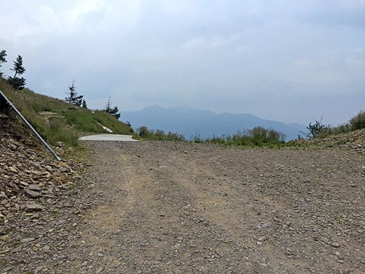
The photos above showing the last part of the concrete ramp: in the first photo we are at the start of this ramp and the next two ones are from the pass itself (couldn’t decide which was best so included both photos). Had wished the weather was better, but at least I escaped any real rain though it was in the vicinity most of the day.
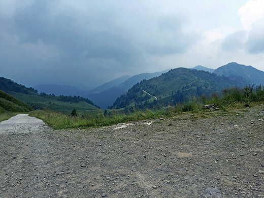
There is gravel on the top itself, but then it continues mostly with concrete surface down the other side almost as steeply. Cycled most of the way down there but some places were not so good. I was really doubtful of continuing in the weather when coming down to La Forcje (1726m) (another pass).
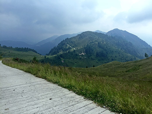
You see here (also hard to decide on photos) the continuing road in the distance not seemingly descending anytime soon, and so it is.
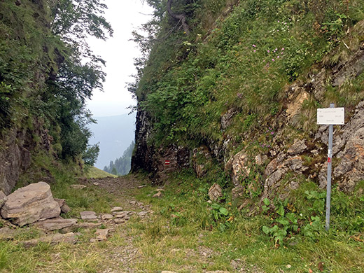
La Forcje (1726m) and a curious opening in the ridge here.
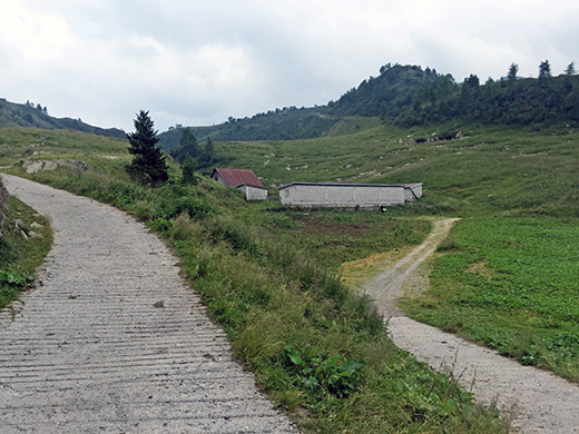
Looking back up, it doesn’t even in the photo look very flat. A farmer was working outside by the farm here – guess it could be a bit rough working far away up here, but there are some (usually) bigger farms strategically placed all around in the mountains here.
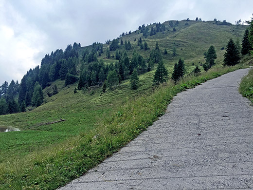
Looking ahead and trying to hold the camera straight ahead to do justice to the steepness and guess you can sense the steepness here. Again it starts right away with ca. 30%. No point really in trying here, so after deciding I had nothing better to d today, I decided to walk ahead and hope cycling would soon be possible again. I know it should be a long a winding road and mostly gravel, but one could always hope, so … . It is marked as a mountain bike route. The road is called Strada delle Malghe and there appears a small war monument along the road.
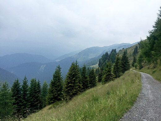
Wuthering heights. The road stats to descend slowly again from 1788m. The road was quite fine for a mountain bike, but borderline case for a road bike. I cycled some, but resorted to walk most of the time to save myself from more flats and it is a bit relaxing to walk also (Should perhaps have changed to my walking shoes though, which I think I did not). Very lucky to escape any rain and the road surface was mainly dry.
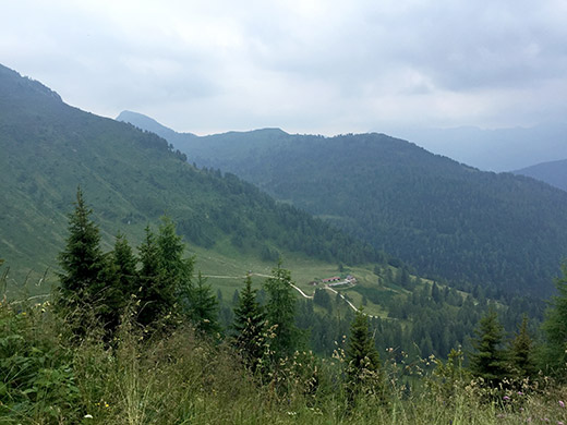
Looking down the farm (Casera Valuta) to which a road led from La Forcje. The road should continue down from there, but doubt it would be any good.
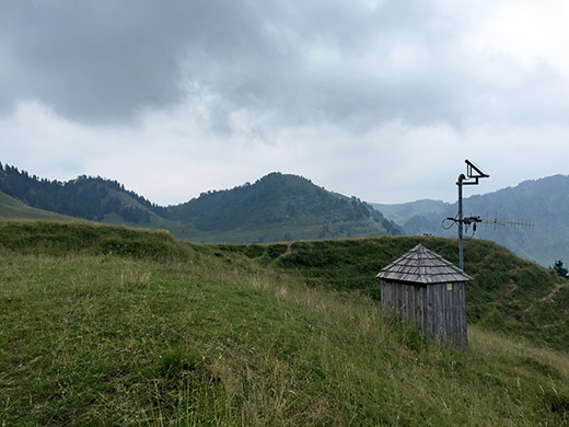
Here looking back up a lot later after having passed by Casera Losa.
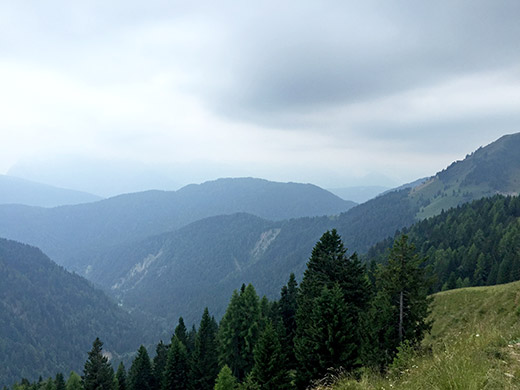
Looking ahead. Still way to go.
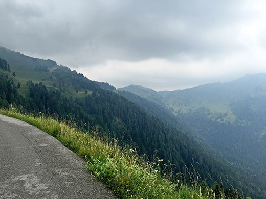
Soon thereafter I came to an area filled with sheep all around and a guy watching out for them and just when getting around a corner there I was greeted by asphalt like 1.5 hours after the last pavement. Looking back a last time.
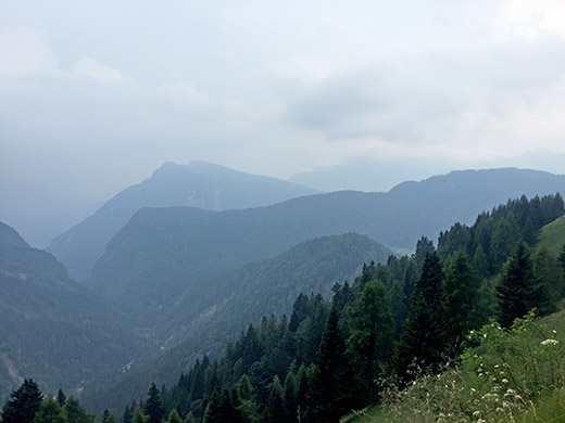
Looking ahead again and now it starts to look like I am getting somewhere, but still a long way ahead.
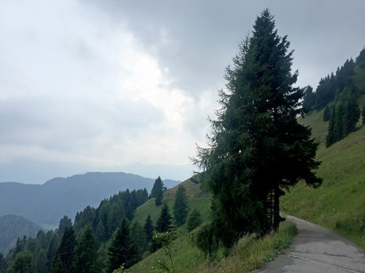
And here the road is sweet, just like one would have hoped it would be like all the way. Unfortunately it would not stay like this for long in this direction either. Further down some people were cutting down trees.
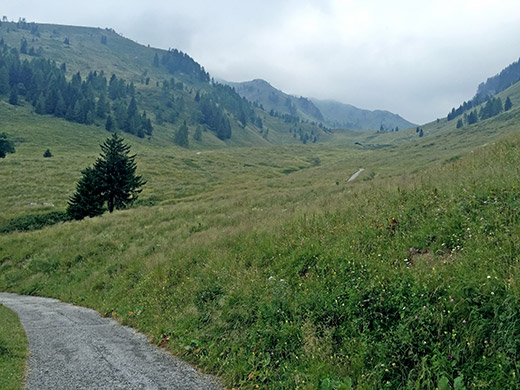
Here a quite steep very narrow asphalted road climbs irregularly up the mountainside. I thought this was the road to Casera Pièltinis and two passes I had thoughts about visiting for long: Forcella Ielma (1897m) and Forcella Pièltinis (1900m), but given that there was no views up there and I have spent most of the day up here already, I continued. It also was not the correct road as that road only climbs up to Casera Novarzutta (1623m) (dead end). It is the next road going off that goes to Casera Pièltinis (1737m) and it should also be asphalted to there, but not to the passes just above (not sure if any of those two passes could be possible to cycle to with a road bike, Ielma has some concrete pavement, but also looks steeper, while Pièltinis should be popular with mountain bikers).
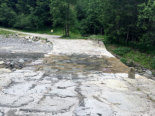
Now we had descended quite a bit and this was the end of the good road. Walked over this river crossing as the bid stones could be rather soapy and slippery, so better not taking a chance (no obvious safe line to go through there).
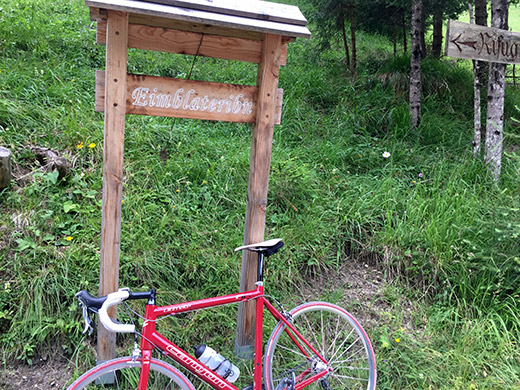
I think the road was asphalted still after to the turn-off for (Forca) Eimblatribn (1419m) where a pretty good asphalted road that is well built goes up to the pass here. Now, unluckily the road is not paved to the top and the last bend and a little stretch in the wood is pretty bad gravel only usable at the top with a road bike (only around 400m though). The pass sign in the photo says nothing about “pass”, but the next pass I was going to have an identical sign also without stating the pass name part, while that is widely noted as a pass on maps and not more clearly a pass than this.
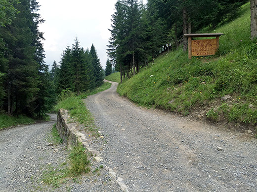
The Rifugio Eimblatribn is just above the pass and you see that sign here and it might have been a nice place to go and eat something, if the road had been good enough for a road bike, but it is only 300m more up there. You also see the road going down to Sauris di Sotto, but it looks no better and would be like this for a bit longer than before. A car passed me by up to the rifugio as I took the photo.
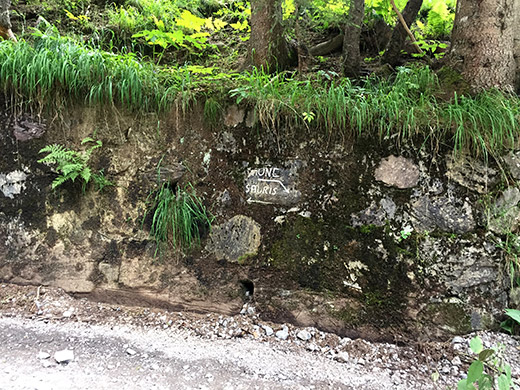
Road directions on the well built but unfortunately unpaved last part to the pass. (It says Mione and Sauris.)
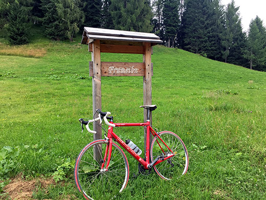
Now the road from the crossroads for Eimblatribn to the next pass: Forca Frumeibn (1416m) is no good, but mostly possible to handle with a road bike. One section was newly paved with concrete and signed with date for when (2012), but it was rather short and back to somewhat bad gravel again until just some hundred metres before the pass where it was no more gravel for me this day.
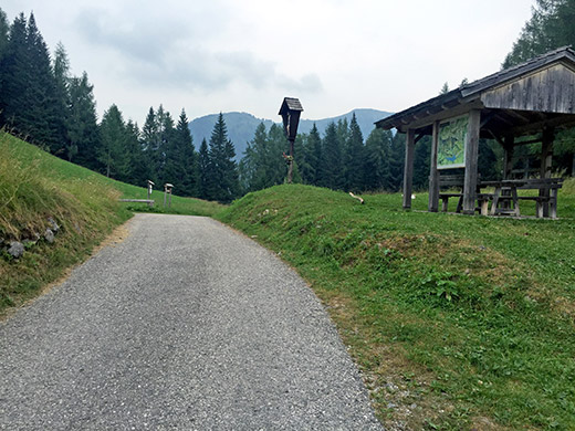
The view from this pass is also nothing much to comment on.
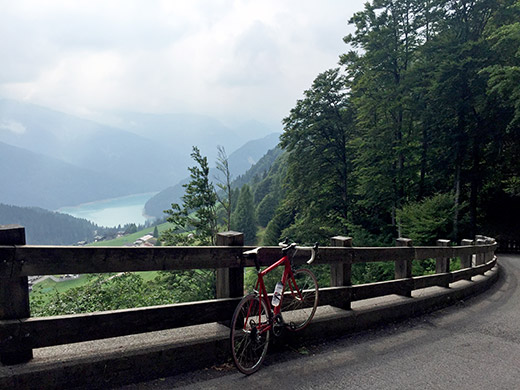
However, it is quite lovely (as expected) on the way down to Lago di Sauris from the pass and quite steep up at the top part – had to hang up the bicycle there is it would not want to stay if I just put it against the side there. Now the weather was finally improving. I tried to get some pasta to eat at a restaurant in Lateis, but it was the wrong time of the day apparently. It was like 5 pm already now. As I did not really need much pasta for the descents ahead, I just continued down.
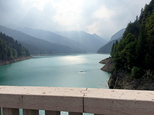
Down by Lago di Sauris and here I have been once before when climbing over the Passo del Pura/Pas dal Pure (1431m) (the way to go here from Ampezzo) (found the second local name on a sign here that I was not aware of before). But this time I wanted to take the main road down to Ampezzo.
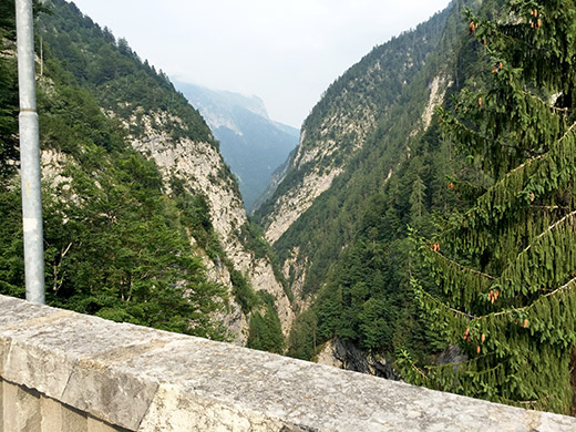
A photo down the narrow valley to Ampezzo where the main road mostly goes through tunnels criss-crossing the sides of the valleys, making it a bit boring. Back in the time the normal crossing to Ampezzo was over the Pura pass as this valley was not really accessible without the later built tunnels.
And I thought I had now been done with all the hardships for the day … no way! This road to Ampezzo is having cobbelstoned surface through nearly all tunnels and as that makes up most of the way down there it was a harsh ride down. Maybe I was a bit happy after all that this road was not steep, but then it felt like it lasted forever also. Terribly tired, but relaxed I arrived in Ampezzo at last around 18 pm. Found a grocery and bought some coca-cola, fruit and yoghurt and then continued down to Villa Santina and Tolmezzo and the same way back via Amaro to Moggio Udinese. I realised now I could not get to Sella Somdogna this day (where I had hoped to at least reach the Rifugio Grego, so a little disillusioned I called the Rosa dei Venti B&B to ask if I could possibly spend another night there as it was anyway more or less where I would have gotten this day anyway. That was fine though I had misunderstood that they maybe had other guests this night, but it was the next one. Only sorry they had to do the bed and linens all over again – if I only could have made more realistic plans!
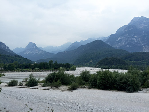
A less sunny view up the valley from Moggio Udinese as I passed by the road to Ovedasso to Rosa dei Venti to go escape the gravel section as I was terribly tired of gravel now. It felt like a bit longer detour in this direction though, but arrived well before twilight, so no worry. Again a great evening and more talking with the family. Next day I would for sure get out of Italy (and would not come back as originally planned).
