This was again a somewhat impressive day and nothing much to complain about apart from some thunder & lightening and heavy showers later in the day on the most demanding of climbs up the Monte Grappa.
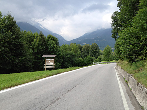
After a short steep descent to Agordo (610m) the next climb was up the Forcella Franche (991m), which was a new pass for me. The road up there is like an ideal road for road cyclists with lovely views all the time. Very nice start of the day and the climb was also not very steep up from Ponte Alto (588m). In the photo here I am leaving La Valle Agordina and looking over to the Forcella Franche.
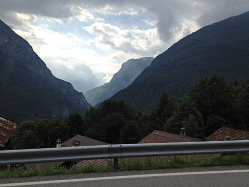
Quite nice here on the way up to Forcella Franche. The weather was getting better, but still the sky was a bit in uproar.
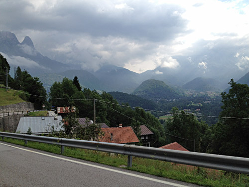
Here I am looking back up to Passo Duran.
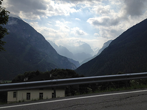
Same view as above from a bit higher up (liked the view and could not decide on which of the photos to use).
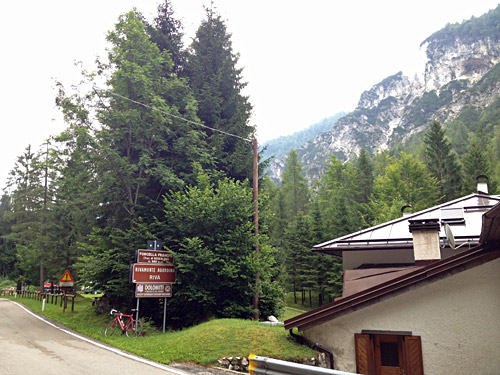
And after a long stretch of flat road I came to the pass itself and here a photo of the pass sign.
Here the road splits and the main road actually goes up to Gosaldo and is likely a nice road up there (I have been to Gosaldo before and after when visiting the Forcella Aurine and Passo Cereda, but never travelled between the roads). The other road descends to the little village of Tiser and it is quite nice in this area too. The road then descends somewhat abruptly to the valley floor on the other side of the pass.
The road strangely becomes narrower and less good down there. Suddenly you arrive near the beginning of a gorge and encounter many warning signs. The road that goes to the west here crosses a narrow wooden bridge, but apparently it is not passable up to the Gosaldo area, but maybe it has once been and looks like it would have been a very nice alternative road up to the Cereda pass.
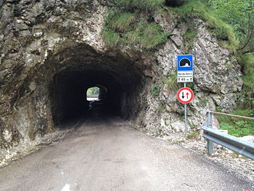
The road through the gorge is quite interesting and nice and a must see road if you visit the area! I hope to get here again. The road is mostly flat, but with many tunnels and nice scenery and lakes. Here is one of the tunnels.
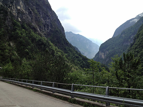
Here is an example of the views down here.
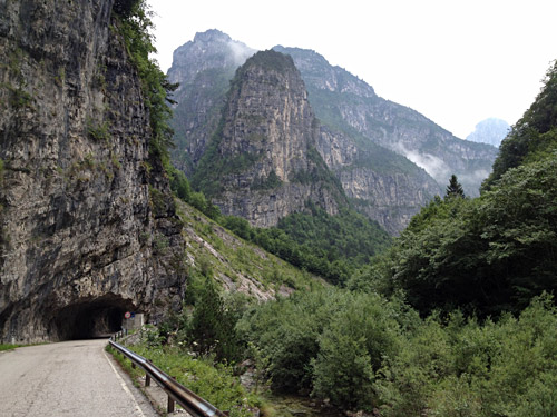
And here yet another even nicer view.
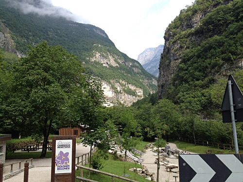
This I think is at the end of the restricted access road down toward the Belluno area.
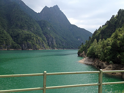
Here is a bigger lake, Lago del Mis.
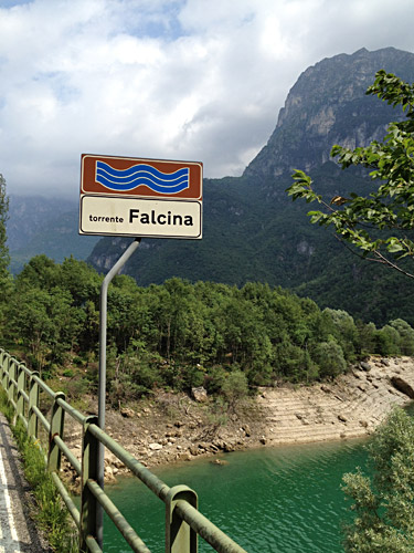
Here was the last photo fetching a name of the river going down to the Lago del Mis here.
After some confusion I got down on the road toward Valdobbiadene and then I was also out of the Alps on the south side. But this is the edge of the Alps with many long climbs from low altitude up to the high Alps mountains. In Valdobbiadene I had on my previous visit disregarded the climb up to Monte Cesen and Malga Mariech by the Passo Mariech (1499m), which is a classic climb in the region, but just under 1500m and earlier I was mostly looking for higher passes.
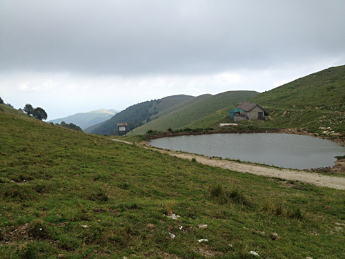
I think I stopped in San Vito or Valdobbiadene for something to drink. I took the main road up from Valdobbiadene, but one could short-cut up via the S. Floriano church as well for a steeper start. This climb is not every terribly steep, but it is long and feels very long. The start from Piazza Marconi (251m) means 1248 height metres to climb, so it is quite something.
It is a very nice road up to Pianezze (1077m) and then a narrower road continues up the mountain, not steep at first, but then later a bit steep as it eventually turns around to climb the mountain in the right direction. The mountain one sees above is the Monte Barbaria (1462m) (with a side road that could also be climbed up), but the road continues to the east before it goes up between Monte Cesen and Monte Mariech to the Malga Mariech (an agriturismo) at the Passo Mariech.
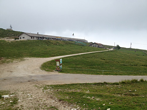
Above is the view down the other side of the pass (after I walked up the mountainside a little). Here is the pass and the Malga Mariech.
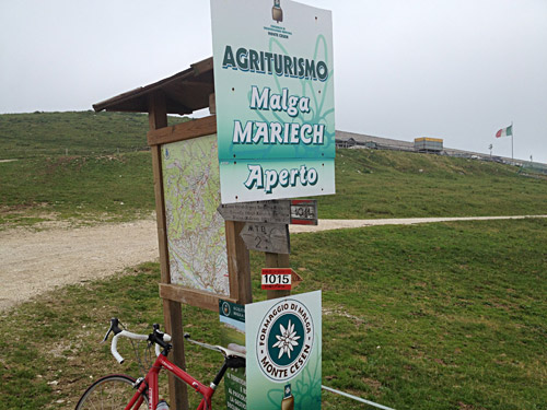
Apparently the restaurant was open, but it was slightly chilly up here so I did not want to linger to long.
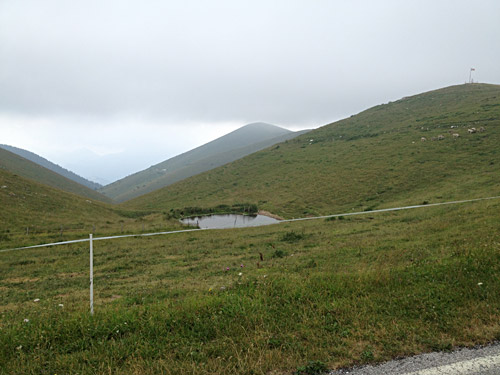
I think this is the other pass-like place along the road after Monte Barbaria, but see no obvious paths down here on teh map, nor any pass name.
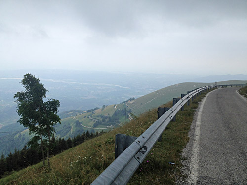
Looking in the other direction back down toward Valdobbiadene (not visible) and the flat landscape below the mountains. Great views from here and a lovely road indeed with not much traffic.
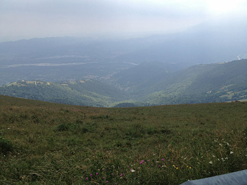
Here I look down toward Valdobbiadene from after Monte Barbaria on the start of the steeper part down. To the right in the photo one sees the mountains vaguely of the Monte Tomba and Monte Grappa and the direction I was going in after coming back down.
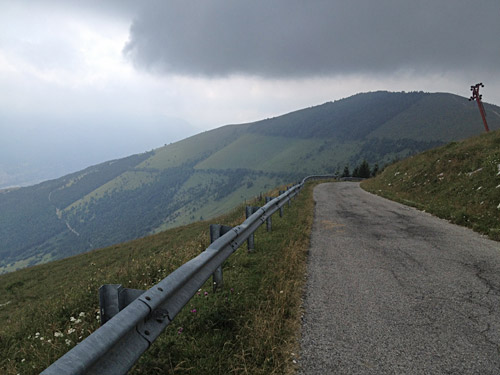
Here you can understand how long that “serpentine” up here was as it almost goes around the mountain before turning around back up here. This is the hard part when going up.
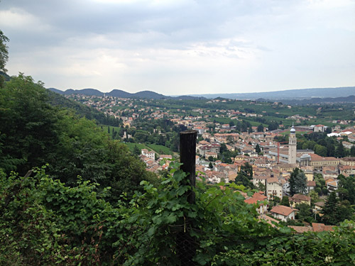
Finally a view of Valdobbiadene from just above when coming down.
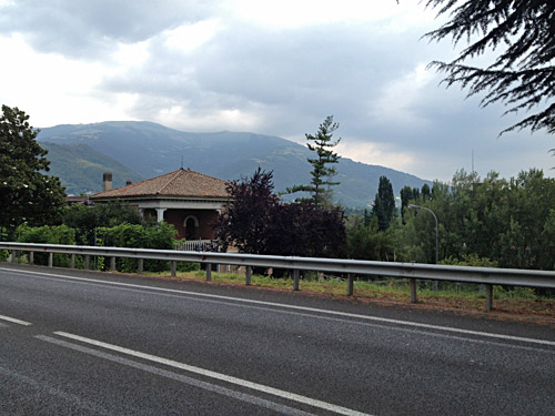
I then went back to the bridge after San Vito and this is near Pederobba looking back up the Monte Cesen.
Time was going and the weather stayed gloomy, but I continued the cycling over toward the Monte Grappa and had in plan to try the really hardest of all 10 different asphalted roads up the Monte Grappa starting in Possagno (269m), called Strada degli Alpini and is a road that makes most cyclists a bit terrified as it is one of the steepest roads in the Alps and if climbed all the way to Monte Grappa it is regarded as one of the absolutely hardest climbs in all of the Alps. The salite.ch profile here is fairly accurate, but I do think it was up to 29% rather than 27% as noted here.
I eventually found the road even if taking the wrong road first as I had heard was easy to do, but still did it. One should not try and get up the first road that climbs up the mountain that looks rather like an obvious choice, but go around and a bit into the valley and then the climb starts very easy at first on a not so good road. This soon changes, but still it is not impressively steep and so it continues for quite some time.
However, about half-way up to Bocca di Forca (1401m) after the road had gone up to like 20% for some time, it now goes up to 29% as I measured it for maybe 50m. Just at the steepest point where I had to struggle at maximum as I had never managed to get up such a steep section before, a horse fly was biting me and even though they are slow and easy to kill if you see them, as I did, I had no ability to let go of the handle bars here so had to choose either to get up or give up and kill the fly. I let it bite me, but that was not enough and it was going to bite me again and I managed to make an extremely quick movement to kill it without stopping.
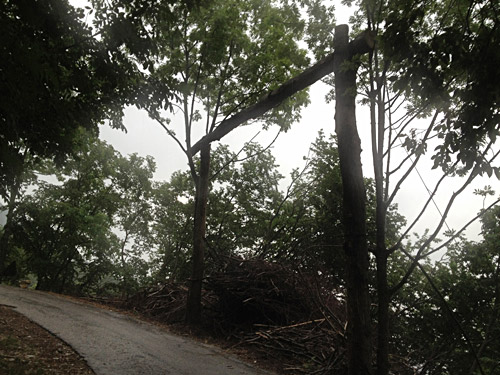
Just as I had conquered this horrible ramp and now the road eased off again, there came the thunder and rain and I soon had to take cover. I first stopped at the place in the photo and wondered if this is where they hanged the cyclists that did not make it without walking up here?!? But probably it is some device for hurling tree logs down the mountainside or something (not sure and no one has offered me an explanation so far). I went a bit further as it seemed to stop, but then it came back in full force and I then only had a tiny tree as a cover and it did not help much (held my iPhone under the hand in an attempt to save it from being soaked like everything else).
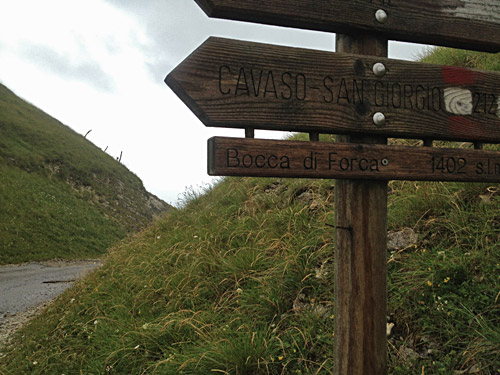
I think I had to wait half an hour or more before I was “allowed” to continue. Now all was easy and even though it was cold I had go somewhat hard as it was still often 14% up to Bocca di Forca. Eventually I got warmer and no more rain.
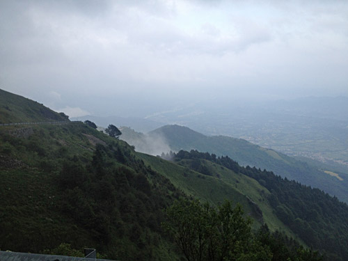
As I got up to Sella d’Archeson (1445m) I started to see mountain runners mostly walking up the road and eventually a few cyclists. This was namely the day for the Monte Grappa Challenge that I did the full 5 climbs (277 km, 8272m, 24%, 17-41°C) of in 2010 and revisited again in 2014 to do the basic course with the first two climbs. I had originally planned to maybe start and take part if I could arrive there in time, but as I did not I wanted to take this hardest way up and get to meet the others at the top and maybe see Gábor Györgyi (fellow climber) that took part this year in the event, but missed him.
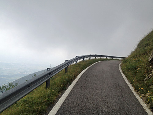
Both the photo above and this one is from close to the Archeson pass (not really properly named on any map or sign that I know of).
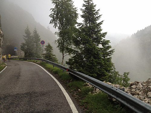
Here I am at a second pass on the start of the climb of the actual Monte Grappa itself, called by some cyclist (Forcella del) Boccaor (1374m) (an ancient path goes over this pass here nearby, but the signs says nothing about the place being a pass). The Monte Boccaor separates the Archeson and Boccaor passes. Here you see some of the runners/walkers – cannot blame them as I would likely be walking here too rather than running.
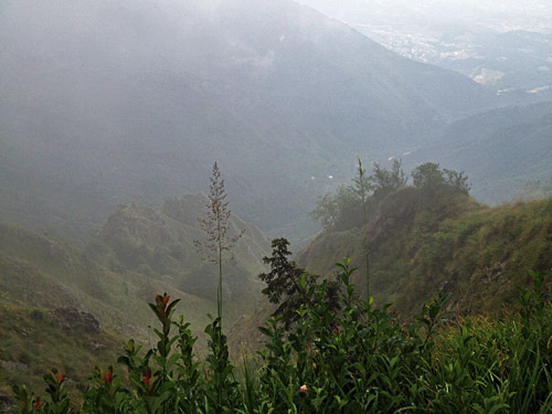
Some hazy hilarious views down here where the road clings rather desperately to the mountainside.
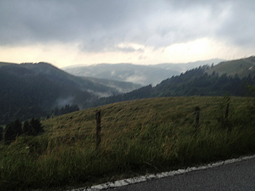
A last photo while cycling it looks like in the area of Monte Grappa somewhere. I got up to the Rifugio Bassano (1730m) where tired cyclists were eating from the good buffet offered at the MGC event. Ivan Contiero (the organiser) turned up and we shook hands and talked a little and he offered me to have something to eat too, which I honestly had hoped for ;-). I had to get going as the weather was still uncertain and it was getting dark soon, so down I went on the main road to Bassano del Grappa.
Could not decide on where to stay for the night but went over the old bridge to the west side of the town and then just continued out of town until I noticed the town was ending and it was getting dark. I saw a hotel here and decided that must be the place. It was not very cheap, but it was fine and they had a good restaurant, even if quite noisy with many guests, but it was all fine and I slept well after a long day. Apparently there was at least one other guest here that had taken part in the MGC I learned the next morning.
