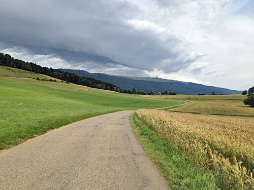
Today was another day. Forgotten was the night before. I left Neuchâtel as quickly as I woke and went back some distance on the road from where I had come to Neuchâtel the day before in the night. I went to Cornaux (439m) and turned up the road there and bought something at a grocery for a little breakfast.
The climb to Le Chasseral (1607m) from Cornaux breaks up in two parts, the first up the local twisty road and then the climbs continues a little on the main road until you reach some sort of plateau from where this photo ahead to Le Chasseral was taken. Then a bit further on one takes off on a road up to Col du Chasseral (1502m) from where the narrow service road to the sender at Le Chasseral starts.
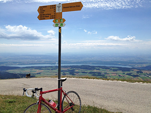
It is never particularly steep and the views from the last part up to the sender are great. In good weather one could see the white peaks in the central Alps from here and I saw them, but it was hazy and in the photo almost impossible to make them visible, but you can imagine them over there in the clouds.
Hard to tell if this area itself can be regarded as part of the Alps or not, but it is normally regarded as a distinct mountain range and part of Alpine foreland (as the Encyclopaedia Britannica has it). I have included the highest passes from the Jura also in my High Alps pass list, but may change my mind on this eventually. The mountain ranges are not defined by their borders … . This is the highest road pass in the Jura mountains. The Lac de Bienne/Bielersee down here defines the border to the Alps, but right here one is a bit away from the Alps. One is very close to both west of Geneva.
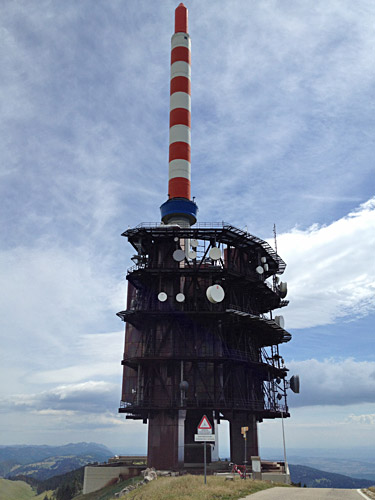
Close up of the sender from the highest point on the road looking east.
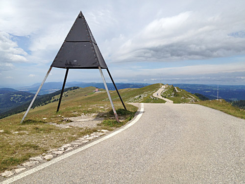
Here looking at the road that I came up. Cars stops a bit further down by a hotel seen under the mountain marker (or what it is called) here.
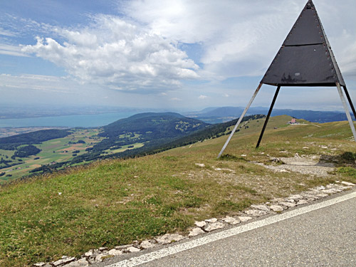
Here we see the bigger Lac de Neuchâtel.
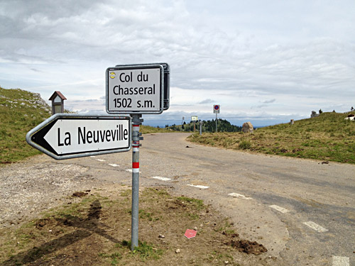
Then down to the pass again and a final photo before continuing north here.
One passes over an insignificant pass called Col des Pontins/Col des Bugnenets (1119m) on the way to Saint-Imier. The village is most known for the famous watchmaker Longines that was established there in 1832 – one of the brands I was looking into a long time ago when getting a new watch, but went for a cheaper watch (though Longines used to have relatively fair prices for the quality) and nowadays do not really wear any watch, and if I would, I would be undecided between the new Apple watches and the arguably nicer classic watches.
Decided it was time to having something to eat and found a Kebab bar here that must be cheap enough I thought. I had forgotten to get more Swiss Francs, but they accepted euros too, but I thought they were fooling me with the exchange rates as I thought it could not possibly cost as much as they asked for, so went and got money from an ATM machine only to discover they had the price right. Well over 20 euros for a kebab and something to drink, oh well – prices are not really equal across Europe. Still prices in groceries are not so outrageous in Switzerland and hotel prices never goes up, but the xchange rates goes up on the other hand … .
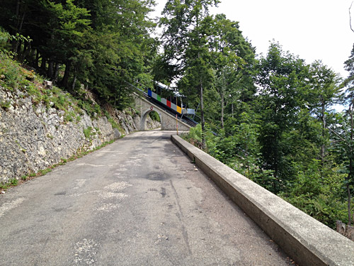
All right, I was anyway on my way out of Switzerland now. First a few more BIG climbs (Le Chasseral was one). Here I am climbing up to Mont Soleil (1249m) from Saint-Imier and the train came just as I took a photo so took one more while cycling up and here it is.
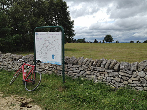
Here I am up on the plateau that marks the highest point of the Mont Soleil (really only a mountain looked from the direction of the Vallon de Saint-Imier).
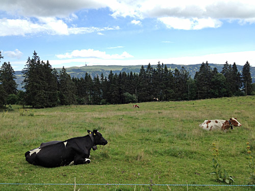
Here I went in on a side road to get a last glimpse from the north up to Le Chasseral.
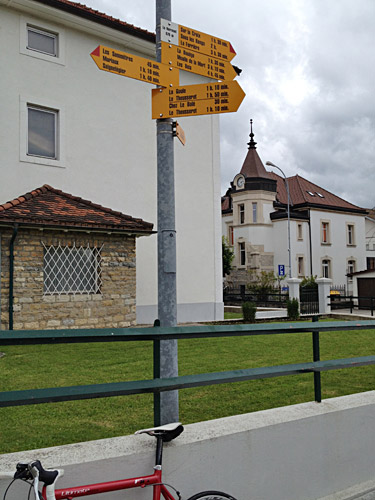
After some criss-crossing on the plateau up here I arrived in Le Noiremont (970m) and there were not many metres of climbing to get here, though still a BIG climb, but that is explained by there being one direction from the north and the French border, which has a little climb and the way one is supposed to come here, but I was going in the opposite direction, so a little cheating to claim this BIG, but given I climbed up the French side, I do not feel like cheating as that is much, much harder.
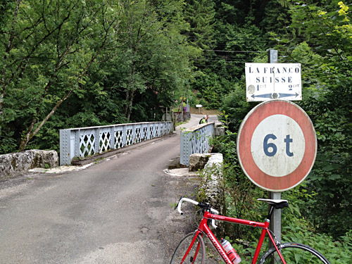
After a downhill ride on serpentines on a road less than good by Swiss standards, I came to the Le Doubs river that likely marks the north end of the Jura mountains, but maybe the mountains just on the other side here could be included too. This must be one of the most insignificant asphalted passages in and out of Switzerland, Though I visited an obscure (blocked) passage between Switzerland and Italy, so there could be a few more obscure crossings like this one.
Anyway one would not really think of going north from Switzerland and end up in France, but that happens in several parts of the Jura region.
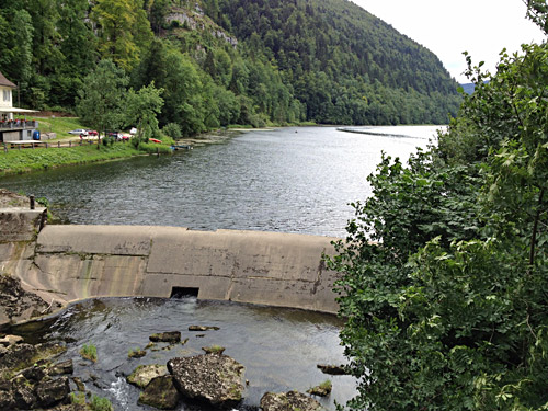
This river looks bigger in other places and looking west here one sees we are just crossing on a narrow place.
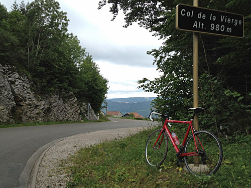
Now I was not prepared on the climb up the other side even though it had looked a bit steep on the map, I had no idea it was this steep. The climb to Col de la Vierge (962m) is likely one of the steepest road climbs anywhere in France even beating some of the horrible ramps down in the Pyrenees. The only respite here is the relatively shortness, thus easier in the end, but not easy.
A man at the start looked a bit curious at me and happy as if knowing what laid ahead and when I got up the steep part to Charmauvillers exhausted a woman stood outside her house applauding me ;-). 13.3% for 2.3 km (13.8% the first 1.8 km) and max over 20%. I took the main road to the pass from Charmauvillers, but see now on the map that I could have continued a steeper road (Rue du Sued) to the pass.
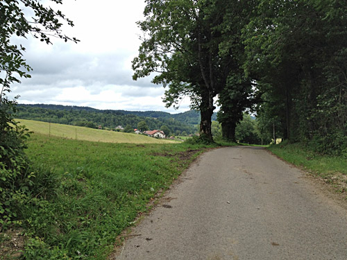
I continued on a nice high road over to Col des Combes/Fessevillers (862m) to claim another pass and be on the more direct route north.
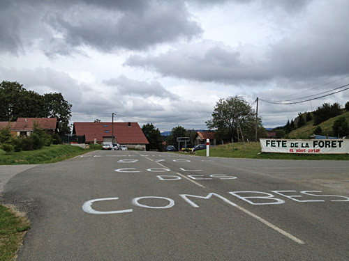
Here at Col des Combes/Fessevillers. Now the pass climbing this Summer in the Alps was already over. Now it was a nice sweep down the north side to Audincourt. Then I got more busy roads. I stopped at a McDonalds outside Audincourt before continuing to Montbéliard where I asked a guy about the road to Belfort and he said I just take the road ahead like the Tour de France had done the year before (or if it was this year).
I had realized that I would not really get any further than Belfort north this time, but it had looked like the best located place I could reach somewhat quickly for getting as quickly with a train to Belgium as possible the next day. I looked it up and had noticed that this was really the only way to get to Belgium in time for picking up my bike bag in Namur and the take the train over to England the same day. Still there were some questions not clear such as if they would allow me with the bicycle on the TGV and I really had to take the TGV and the station for the TGV was not in the town, but there should be a bus there.
I found a decently priced hotel somewhere and walked into the city for some Belgian beers at a noisy pub, but I felt relaxed now that the tour was over. The main thing now was only to get off early enough in the morning. I continue that story and the short varied visit in England with some cycling also on the last page.
