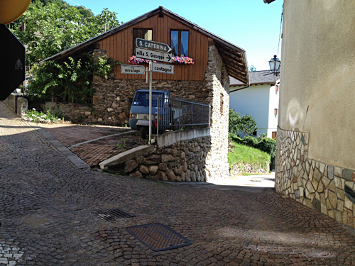
I took a very nice and unusual way out of Vattaro north in the morning via S. Caterina and S. Vito on a very narrow road with good views. That way I came down almost directly to Pergine Valsugana (475m).
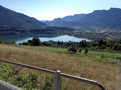
Here first some photos from the S. Caterina/S. Vito road. Lago di Caldonazzo.
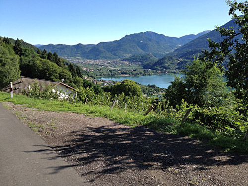
Toward Pergine Valsugana.
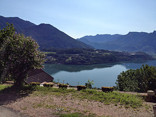
And a last look back over the Lago di Caldonazzo.
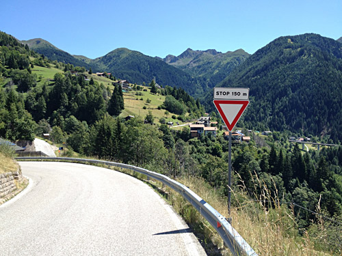
So time for climbing again and a new well asphalted pass that has long been popular for cyclists, but I had somehow escaped going that way until now. So up the Valle dei Mòcheni/Bersntol/Fersental I went and the road soon becomes very nice up the valley and occasionally a bit steep.
The photo here was taken a bit above the turn-off for Passo del Redebus/Sontbisn (1457m). There are asphalted side roads up in this valley to above 1600m and at the Redebus pass as well, but I am not sure exactly how far up they go, but know there should be steep climbs up in this valley (for another time).
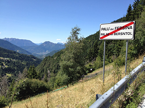
Here I am leaving the valley, and here they also got their local names.
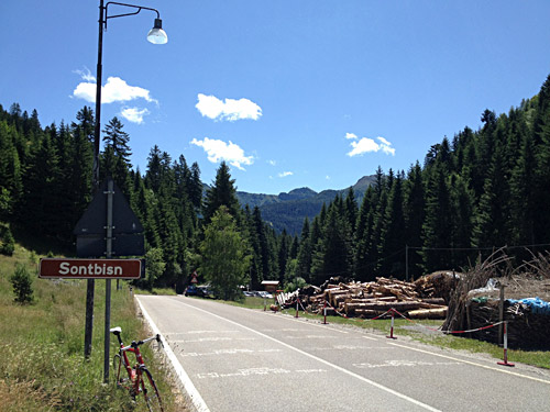
Passo del Redebus is a moderate climb, but a nice one and close to a 1000m climb, so it is surely a worthwhile mountain climb and it is very well located to make for good cycling routes in and out of the area avoiding the Trento area.
Here at the pass looking back. Only the name for the locality of the pass in the local language along the road.
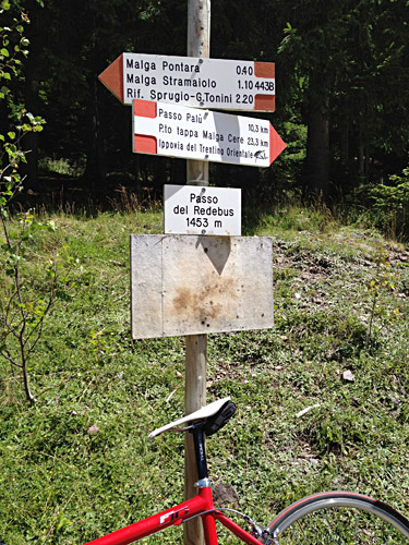
I did however find a little walking sign announcing the pass with the well-known name.
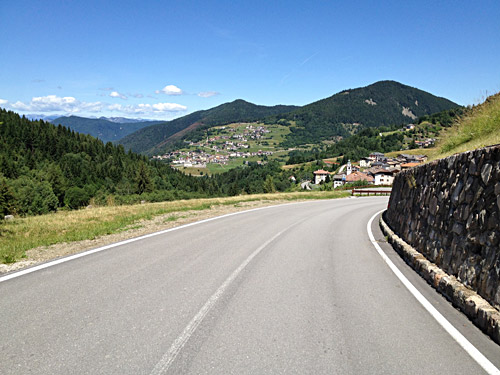
It is quite nice on the descent on the other side too and the road as a little steeper there, but one soon gets down to the road over Brusago (1101m), also a locality that is a pass itself. I stopped here for an ice cream before going down the Valle di Cembra with nice roads on both sides.
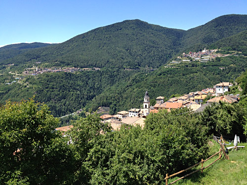
Here a view over Valle di Cembra and three of the villages.
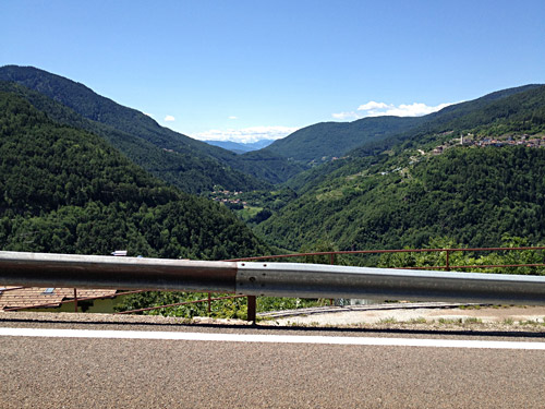
A last view back down the gigantic Cembra valley.
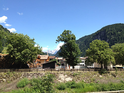
Finally I am up in the Dolomites again and the photo here is taken on the main road passing by Predazzo and up in the direction of the big mountains between Passo di Vallés (2033m) and Passo di Rolle (1971m).
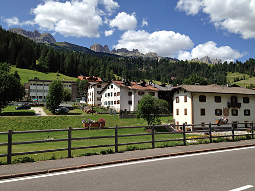
Here another photo along the main road up through the Val de Fascia/Val di Fassa/Fassatal of the Ciadenac/Catinaccio/Rosengarten mountains, which is where I was heading to now.
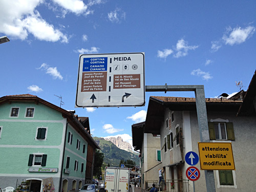
Now up at Poza/Pozza di Fassa (1320m) and getting a glimpse of the mountains up at the Sella mountain group, including a sign with all the Ladin names for the passes ahead.
I was not going to go up there on this visit, but was here mostly to claim a BIG climb I had overlooked before.
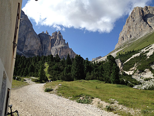
After Poza/Pozza di Fassa I turned off the main road to climb a quite steep road to Rifugio Gardeccia/Torri del Vajolet (1962m) where one has good close-up looks on the Ciadenac/Catinaccio/Rosengarten mountains.
Great views and wished they had built the asphalted road to go higher up!
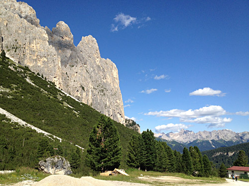
Likewise great views down from here.
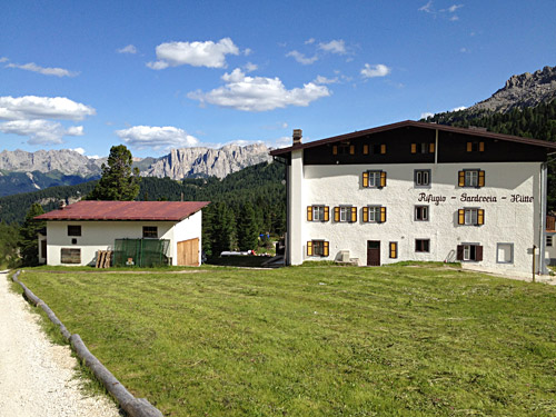
Here a view of the Rifugio Gardeccia that marks the end of the good road.
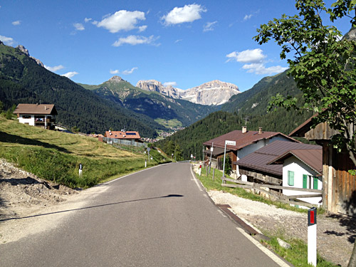
Now the weather was great, but instead I got into new troubles and a serious one down the steep up to 19% road. In this photo up toward the Sella mountains I had nearly fallen off the bicycle as the rear hub had locked and I could not free wheel down, so I effectively had a fixie bike all of a sudden and I cannot recommend such a bike on these roads, and especially not if you are not used to them.
It is extremely easy to forget to pedal all the time when you are not used to having to to do that. But I soon realized I would both damage the bicycle and could very likely fly off the bike if I did not pedal, so before having to learn the hard way I had to focus and try to pedal even though it was quite steep down. I soon detected that I could free wheel a little if I held the pedals in a certain position, but it was dangerous clearly and so I noticed, but tried a little and got better on it.
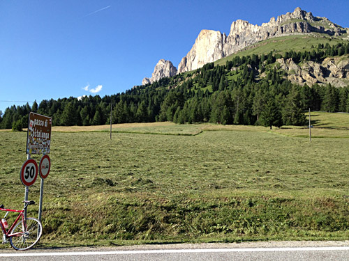
Back down to Poza/Pozza di Fassa there were no bike shops so just to continue over the next pass, which was the Jouf de Ciareja/Karerpass/Passo di Costalunga (1752m) and on the way up the fixie problem was not much of a problem, but even on the way up I had been used to be able to free wheel a little. Here at the pass which is a rather easy climb on this side.
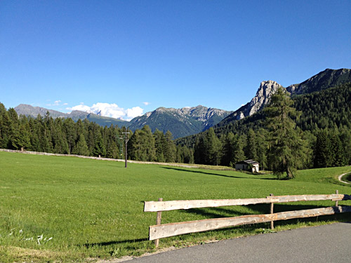
Another photo looking back down toward the Val de Fascia/Val di Fassa/Fassatal before descending.
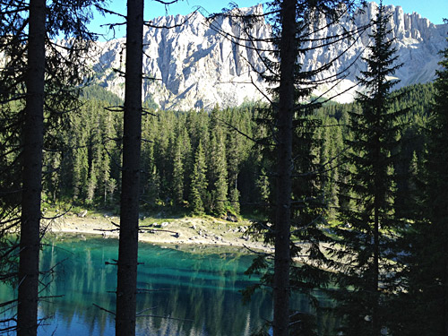
I stopped soon again to get a shot of the Karersee/Lago di Carezza almost falling again as I stopped.
Now there was an almost 30 km downhill ride to Bolzano and normally something to really look forward to on a nice road like this, but now it was horrible. I still shudder to think of the risk I took as I went down almost all the way at ca. 50 km/h keeping my feet locked all the damned way down in the exact same position where I could free wheel still. However, had this failed just once the chain would most likely had been sucked into the rear wheel (as it already did in like 5-10 km/h before) and both me and the bicycle would have been history. I would not repeat that, honestly. Nor was I able to free wheel at all again with that rear wheel after this ride down to Bolzano.
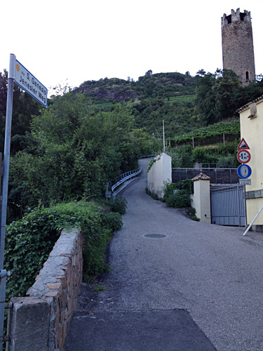
Now I fooled around in Bolzano but I think I got there just after 18 and anyway found no open bicycle shop, so again I just continued. I was thinking that going uphill would not be such a problem and then I could maybe go carefully down to Merano/Meran in the morning to get the wheel repaired or get a new one.
I had thought to try out the legendary Alte Jenesier weg with up to close to 30% or more steepness. I found it on the other side of the river coming down from Sarntal/Val Sarentino and wondered if I should dare to try it as it was clearly close to ca. 25% right from the start (the sign says 22%, which might be true on average …). Then I thought I have to try when here, but I fell already as I tried to get going because of a reflexive back-pedalling and damaged my wrist in the left hand I think. After that I was not in the mood of any more experimentation about what was possible and not, and took the main road up instead which is only like 10% most of the time.
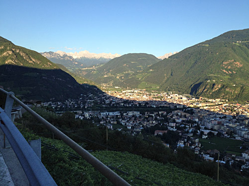
The hand ached a bit, but could of course bicycle up with only one hand gripping hard on the handlebars, but still I felt really bad now and my mood was as bad it could be. I stopped (almost falling every time stopping) to take a photo of the nice views of Bolzano in the evening.
I continued slowly up as I was sure I would not want to stay for the night in Bolzano where it was hot and costly and just wanted to get to a more quiet place along the road I had planned. So just aimed to get up to Jenesien/San Genesio now.
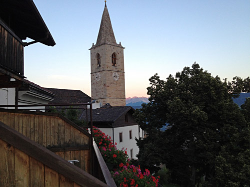
I was so tired when I arrived, but I got there just before the dark at least and the first hotel I saw by the church in the village looked good and got a room and it was very good in all ways and with brilliant views as seen in the last two photos here (guess one could get even better views up here, but I could not complain). I got something to eat at the Gasthof zum Rössl (not sure what now, but maybe wienerschnitzel and beer).
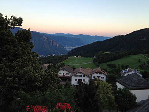
Here I look back over where I came up and the gigantic Valle Isarco/Eisacktal/Val dl Isarch down to Verona. Apart from the disastrous ending of the day, it had otherwise been a fine day.
