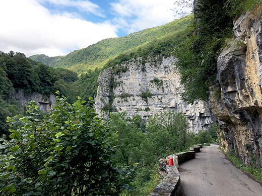
It was almost dry on the roads as I took off in the morning. Still a bit chilly on the descent from Malleval, but it soon got warmer further down. Then I got very pleasantly surprised by how nice this road was further down, which I was not aware of in advance. Great views and had to stop several times for photos.
Here was the first photo as the road got very narrow all of a sudden and here I also met some cyclists coming up, probably wondering where I came from … .
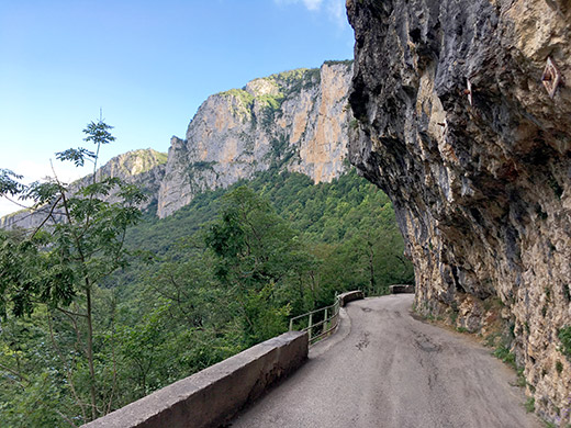
This road starts to look really exciting, so another photo.
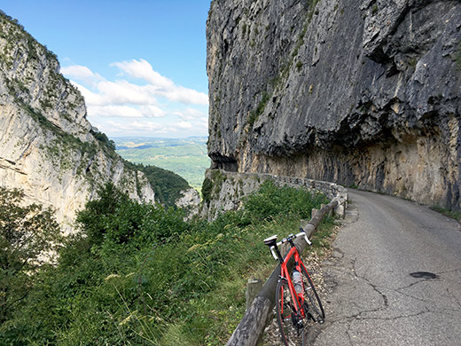
All right this was a road I should have heard about before, but there are indeed many nice roads not unlike this in the southern French Alps.
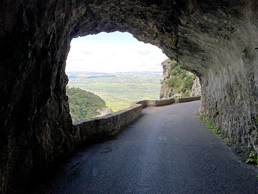
And here comes one of those cool tunnels!
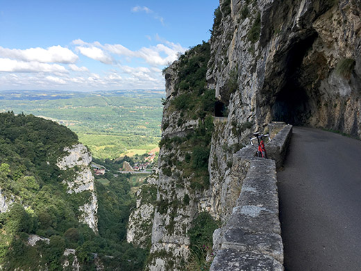
Still better – very hilarious place to take a photo from – did not really want to bend out more on the side standing at a similar little place that looks like it was made for parking your bicycle so that cars could pass by. This made my day, but still it was not over yet.
Down at the valley at Cognin-les-Gorges there is not really any Alps west of here (as see you also see in the photo above). Now I cycled around the the north flank of the Vercors on the flat road to Grenoble. It took a little while and I had looked up the train table the evening before and really got to ride a little desperately in order to catch the train as planned, but this time I was lucky. I took the wrong road when entering Grenoble as it was not as clear as I had thought and thus lost some time, but got there somewhat fast nonetheless.
Now I remember, I actually did not have time to get a ticket (I tried quickly with one of the machines but failed) so just jumped on the train and hoped to buy a ticket on the train, which is not always clear you are allowed to do (they have dire warnings about the high fees you might have to pay if you have no ticket with you aboard). But there was no problem with buying a ticket on the train this time.
I changed train at Montmélian and riding this ominous route where I fractured my ribs on May 29th made me worried, but all was fine and weirdly even the train driver winked goodbye to me as I looked back when stepping off the train – that made me wonder what was up … . Surreal, but nice.
Had a chocolate bar and coffee at the train station and also found a decent toilet outside. Then I was taking the train up the Maurienne valley to escape some more flat road cycling and did not quite have time to short-cut via another pass (Col du Grand Cucheron) up there. I went all the way to St-Jean-de-Maurienne, where I soon stopped by a McDonalds to get an alternative lunch. That was the end of train riding this day and now I would cycle back from here.
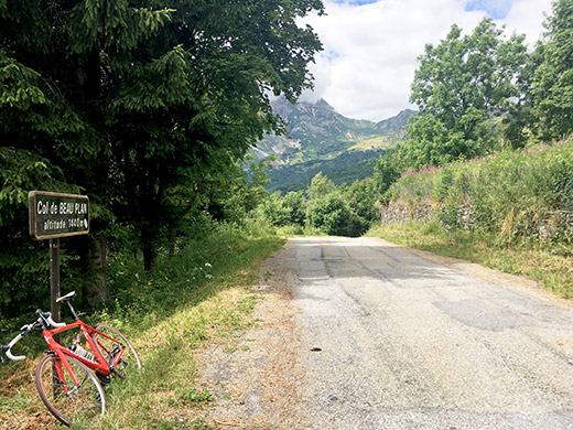
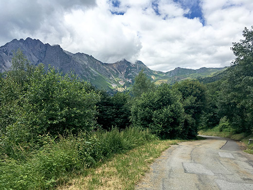
There was one +1400m col in the Maurienne valley left that I had missed to visit before (even though it was in the planning another year). This was the slightly obscure and dubious Col de Beau Plan (1418m). Above you see the sign for the pass and in the photo just above you see the view better from the pass to the northwest and the direction I was coming up from. One could go down the other side, but one would soon end up at the same place lower down, so took the shorter way back the same way I came up and it is possibly nicer anyway.
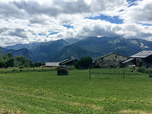
Here just below the pass on the west side you have great views across the valley the mountain and the Col du Télégraphe that you climb on the way to the famous Col du Galibier. (I think it is the one to the right.)
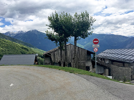
Another nice view up the Maurienne valley from the Beaune village.
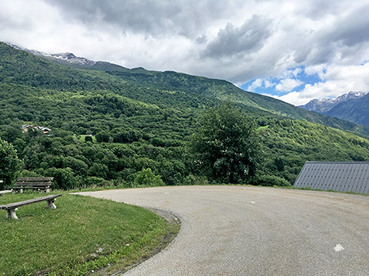
The “other side” of the mountain that the pass flanks (somehow).
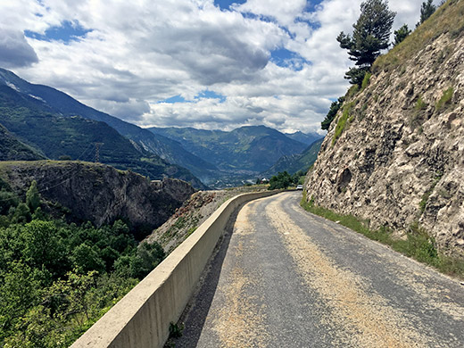
Further down at Col de la Porte (891m) one has nice views down the Maurienne valley.
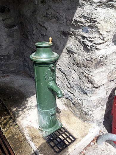
A nice water pump where I stopped to fill my bottle at.
Now I continued down to St-Jean-de-Maurienne again, but went further down to La Chambre (446m) and going around the mountains here to get up the valley to Moûtiers and Bourg-Saint-Maurice does not make much sense. So, I had decided to once again climb the Col de la Madeleine (1993m) and this time I was going all of the classic climb straight up (and not via Col du Chaussy (1534m) even if the serpentines up to Montvernier would have been nice to climb once again, but I was in a hurry to get over Col de la Madeleine before it got too late.
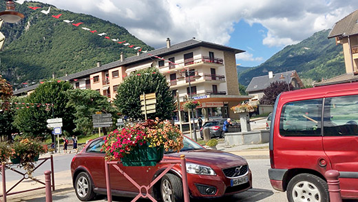
Here I am taking a last break for the day in La Chambre just by the start of the climb and you can actually see the pass from the park bench down here some 1500 height metres above.
Then I could not drag out on time any longer and got on my way and tried to keep a good speed all the way to the top, but guess it was like 1h 45-47mins (cannot remember exactly, but the time was very close to the time I made up Mont Ventoux both times I climbed it). One km in the middle is quite steep, but otherwise the length is the problem.
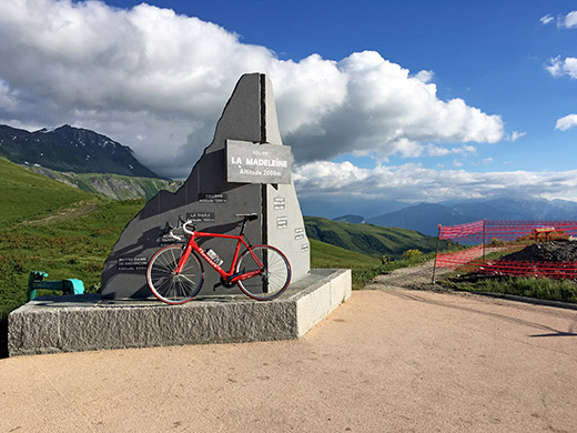
Here I am up at the pass and it is still sunny and warm. And it is also beautiful.
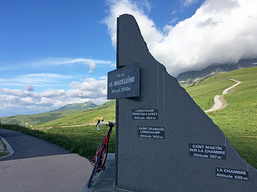
They have just recently built a new road sign for the pass. I like the old, but this is also nice. They still claim it is 2000m, even though it is lower at 1993m (according to measurements on the IGN maps it is 1994m). The asphalt road to the restaurant here reaches 1999-2000m though.
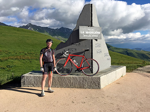
Another visitor turned up – a somewhat (?) local cyclist, but now up in his car, taking a photo of me, so another photo.
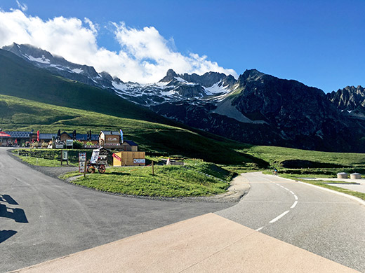
The restaurant, the mountains on the west side and the start of the descent to the north.
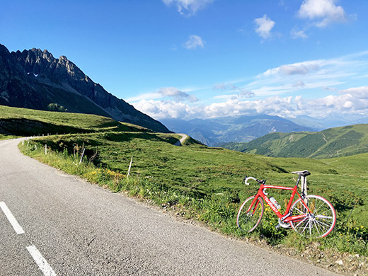
A last photo before descending and almost exactly the same view as I photographed before and included a less good photo of in my Dream Road Bike Tour of the Alps book.
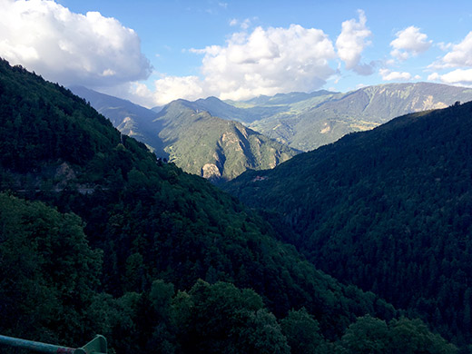
It was rather chilly further down as most of the descent was now in the shadows and as you might sense in the last photo here. It got warm down in the valley again. Some confusion as I found myself cycling suddenly on the forbidden main road as I forgot to turn off at the right place. Tried to walk over on the correct road, but on the first try wen over on the main road going in the other direction (no good idea). But near the high point it was easy to get over on the smaller road descending to Moûtiers (480m).
I found the hotel I had actually planned to stay at in advance one night near the train station and got a room and a ticket to get dinner at a nearby restaurant. It was an ok place, but ultimately it is nicer staying a bit higher up in the mountains.
