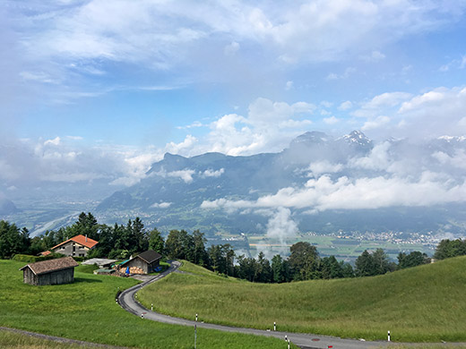
It was an easy start in the morning from Malbun. Slightly chilly at first and took off the wind jacket first down in Triesen by the main road. The photo here was just above the Sücka road turn-off on the main road to/from Malbun. I was somewhat relieved by the fact that I had not any quite as steep climbs on the plan for this day, but was a bit more worried about not getting far enough as I needed to be in La Ila/Stern/La Villa in Alta Badia in two days.
Right across the big valley floor and river separating Liechtenstein and Switzerland you see the Gonzen mountain above Sargans and up there a quite steep road climbs to Palfris/Chamm (1712m) that I went up during my 2008 tour (which was probably the best Summer tour (so far) in terms of kilometres and height metres per day).
Over the St. Luzisteigpass (716m) again and down to Maienfeld and the same way back to Landquart (529m), where a very long climb ahead started. I followed (?) the alternative roads designated for cyclists, even if not always easy to find. In Schiers (665m) I stopped for a café visit. From Jenaz I followed a newly built bicycle path (on the other side of the railway) which is not easy to find, but a little before Küblis I went through a tunnel under the road and up a staircase to the road and cycled in on the main road even if not allowed (for some illogical reason – this is not exactly a motorway and there are buildings just ahead which one may want to visit (likely not) and anyway one is very soon allowed on the main road in Küblis). Last time I took the main road from Jenaz to Küblis which really makes more sense.
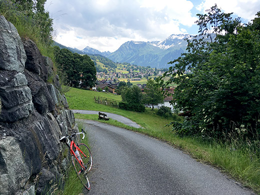
After Küblis one again is supposed to go through Saas, which makes a lot of sense as the alternative is a long tunnel and the road here is a fine normal road (the old road). Filled up water in Saas and continued and eventually one is again supposed to use alternative roads instead of the rebuilt modern road and tried that for some time, but exactly how on is supposed to get into Klosters straight ahead was not very clear and I had to join the main road a bit before it was allowed again after some circling around the main road on ups and downs … . Just as I approached Klosters I had in mind to climb yet another +1400m pass that I had found mentioned in the Swiss Club des Cent Cols catalogue – Unter Sattel (1449m), but this little road even if suggested as asphalted on the Swiss national maps is indeed not asphalted beyond the first 600m or so and even though I continued almost a kilometre more, there were no more asphalt in sight, so turned around and before getting down to the main road stopped for this photo of Klosters.
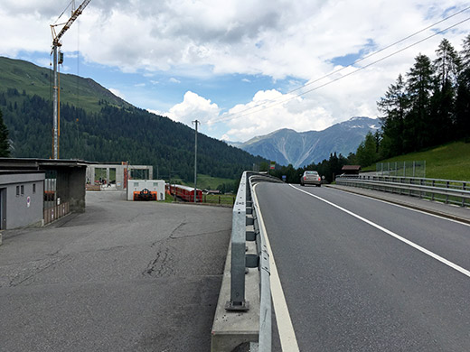
There were much road work on the main road through Klosters and it was not fund cycling through there, but eventually got through and on the proper road up to Wolfgangpass (1632m) and now there were no longer any nonsense about looking out for alternative roads (after passing above the road tunnel). I got a little tired as I reached the little pass and took a few photos to document the pass, but no good views at this pass really. At least I caught the train in the photo passing by here (a little late).
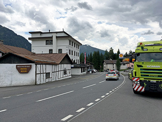
Here is the view in the direction of the short descent to Davos. Quite a busy road up here. Down in Davos (1561m) I stopped by the Coop grocery and had a yoghurt and something to drink before continuing up to Flüelapass/Pass dal Flüela (2284m) where I again was overtaken by two cyclists going up and as it is a long climb you either can try and hang on or you can as well give up right away as I did here.
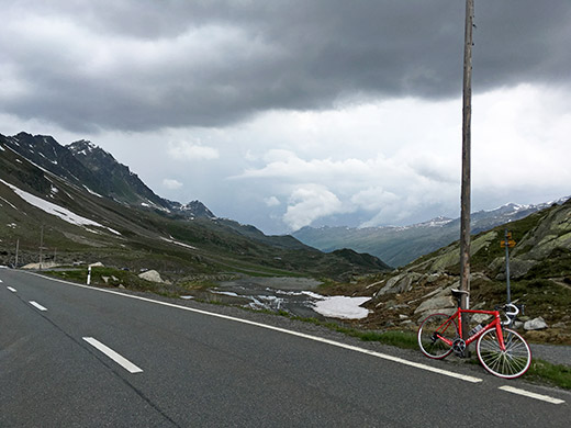
Here is the view back down toward Davos from the Flüelapass/Pass dal Flüela.
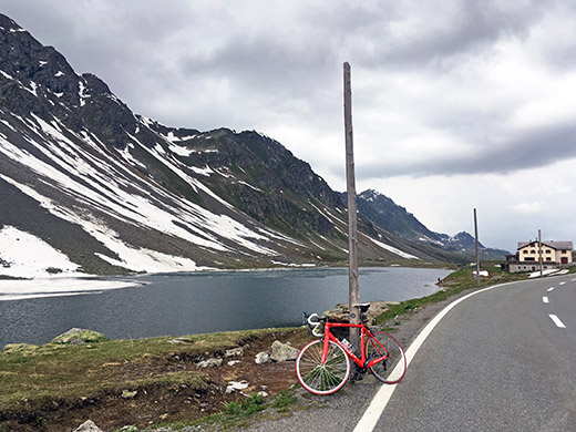
I had much better weather up here on my previous visit in 2014. This is the exact location of the road pass looking back to the restaurant at the top.
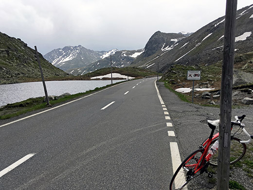
Here I look ahead from the pass at the same place as above and one could sense that there may be rain in the air not far away. Luckily I got down rather quickly and with just a few rain drops to Susch (1426m).
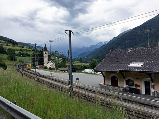
Here I was not clear on which way to go, but eventually decided to go in the direction I had planned, but skip going up on the nice high road in the lower Engadin valley as planned and then go over the Reschenpass to Italy. However, when I just got some kilometres down to Lavin, it was quite clear that there was very bad weather around the Reschenpass, so I turned around hoping to maybe get quicker and more dry to Italy over the Ofenpass/Pass dal Fuorn/Passo del Forno instead. It is however more climbing to do on the road over Ofenpass, but it is also a shorter road. (Looking down the Unterengadin in the photo by the Lavin train station.)
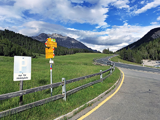
On the way up to Zernez (1471m) the road got all wet for a while and I slowed down, but it dried up again as I arrived in the village and here I saw the weather looked as bad up the higher Engadin valley. I hurried on as rain was closing in up the sort of pass called Ova Spin (1883m) which is the tough part of the way up to Ofenpass. Rain threatened all the time to get worse, but only after the descent to Punt la Drossa (1711m) the rain started for real, but I continued to the Hotel Parc Naziunal: Il Fuorn where I stopped to wait out the rain, which almost stopped again when I arrived there, but it was a good reason to stay and eat something again. I had a pasta which was very good and guess the hotel would have been nice to stay at. When I got out the sun was back again as you see here.
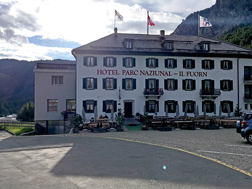
The hotel is nearly the only building in the national parc up here.
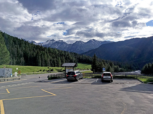
Even down from where I came the clouds were now much lighter again, so went happily on my way.
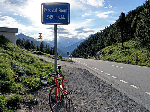
It is a rather easy climb from Il Fuorn to the pass, where it only gets a little steep at the end again. Looking back a last time from the Ofenpass/Pass dal Fuorn/Passo del Forno (2149m).
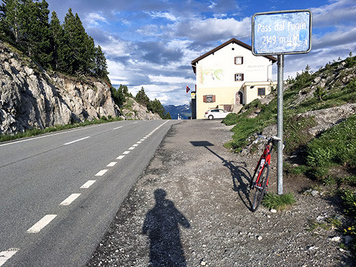
The pass height and restaurant.
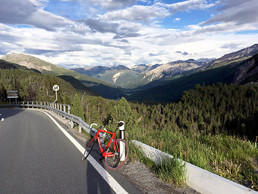
Looking down the nice Val Müstair with the mountains to the right over the Stelvio pass. Now I was hurrying on a bit as I wanted to get down to Italy in time to find a place to stay at for the night and to get something to eat. The road down is quite steep and fast though.
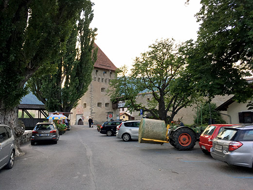
The last stretch from the border and Taufers/Tubre is a bit less good and less wide road, but eventually got down to Glurns/Glorenza (908m) and just before entering the fortification of the town (said to be the smallest town in Italy) I looked to the right in the photo below and saw a bed and breakfast where I asked for a room and that worked out fine.
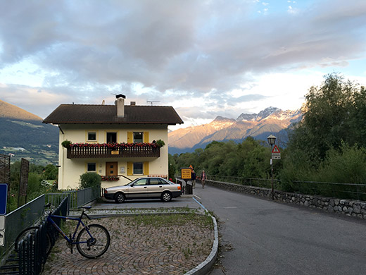
After showering and walking out on the town, it turned out that all the restaurants were closed as they close by 20:30 or earlier here. I was told to walk outside town on the other side to a pizzeria and eventually got there and it was good, so it all worked ot fine for this day too and I got to where I was hoping to go. (I had originally planned to stay a bit higher up in the valley at Planeil/Planòl (1596m), coming down the Reschenpass.)
