Decided to take the slightly shorter day plan for the day after the Maratona dles Dolomites (the next day) and do it instead on this day. Thought maybe the friends I were going to meet there alos might wanted to join in on part of the other day planned, but it got clear later that they had already planned to move out of the area that day and anyway eventually shortened that day also as it was a bit too much for me the day after the Maratona, as it was.
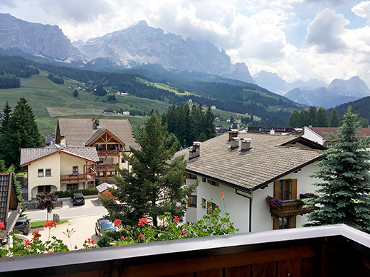
This day I felt better again early on and it would be a day without much monotonous cycling and thus no big risk for getting even worse saddle sore sore pain. I started with this view looking out of the balcony of the cheapest bed and breakfast in Alta Badia (I think they still are cheapest even though their prices has gone up as far as 25€ per day in high season now) – Pic Ander (they are nice, but a bit special/genuine and you do best to try and write to them for booking in German, Italian (if they know Italian, but probably some) or Ladin in the unlikely case you know it).
First I cycled down to Badia/Abtei to collect my race pack for the Maratona the next day. Got there just before they opened at 10 and the queue was long, but the organisation is very efficient. (Everything is efficient and orderly in Alta Badia, or mostly so and there is certainly no exception at the Maratona event.) The big race pack is filled with clothes and stuff worth alone more than the price for taking part in the event where you also get good food and a superbly organised event in the most beautiful mountains in Europe.
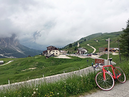
Decided to buy a pair of matching race bib shorts to the jersey that was included and that was a good idea as I had noticed the day before that the old trousers from the Monte Grappa Challenge that I had picked with me was almost worn out and had a hole were I was sitting. Now I got size L though I normally need size XL and asked for that, so that did not work out so well, but can use them and the Castelli fabric seems to loosen up a bit too fast making them keep shape a bit longer that way perhaps (still looks ok, but now they slide up the legs already after two weeks of riding). Then back to leave the package and up to the Gardena pass in good speed as you see here.
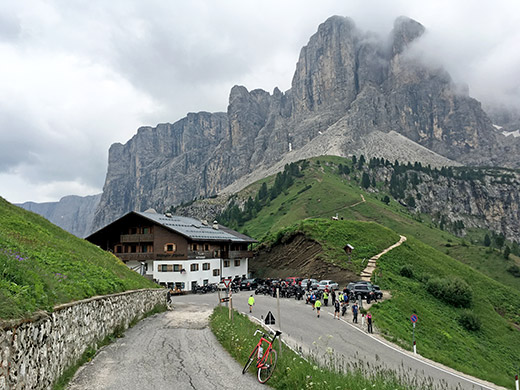
The weather was not looking too good on the other side as you see above, but it was not much better in any other way I wanted to go in, so after these two photos I continued ahead down to Sela de Culac/Kulatsch Sattel/Sella del Culaç (2018m), which is a little extra pass on the way down the Val Gardena/Grödental/Gherdëina. Just after the pass the rain started, but I was lucky as there is a restaurant just here where the rain started to pour down.
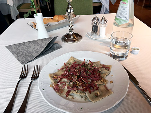
I decided it was time for lunch and had a pasta, though this nice and modern restaurant is quite expensive! Still enjoyed the pasta and escaped the rain nicely and waited until it was all over before I got out again roughly an hour later or so. I rolled slowly down ca. 1 km before turning up on the road to Passo del Sella/Jouf de Sèla/Jëuf de Sela/Sellajoch (2244m) and then cycled slowly up to the pass and when I reached the pass the road was almost dry again.
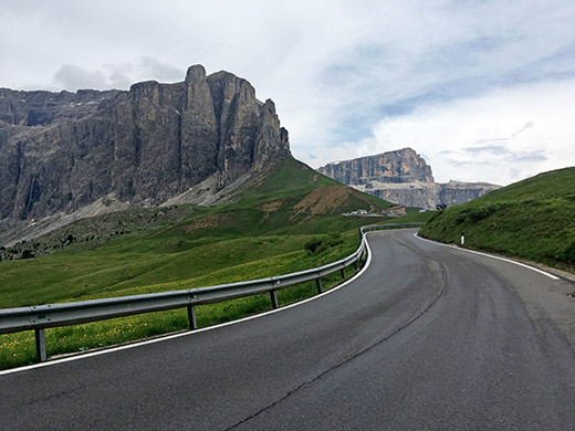
Here is the last stretch before the pass from the Gardena valley. It was the first +2000m pass I ever visited with a road bike already back in year 2000 now and the climb that made me hooked on cycling on mountain roads. It is still one of the most impressive pass roads I know of.
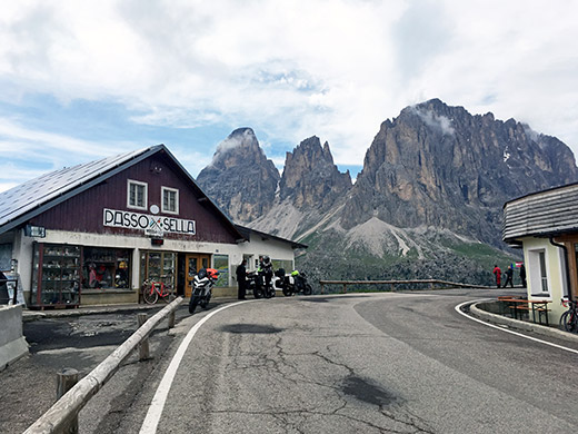
And here the classic view from the top with unusually few tourists for this time of the day in Summer as the weather had only just started to get better now.
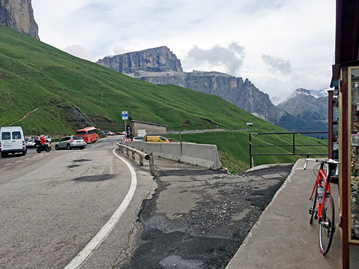
Looking down the southeast side of the pass.
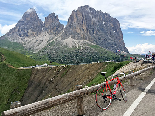
Another more clear view of the Langkofel/Sassolungo/Saslonch mountain group.
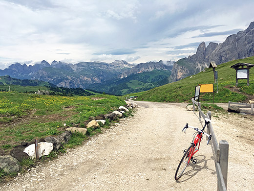
Now I was really here not to see Passo Sella yet again. I was going to a nearby pass I had not explored on my previous visits here. First going up the narrow asphalt road taking off the Sella road a little before the pass takes you to the old Passo Sella (2214m) where I stopped for some photos documenting this pass and lovely views. The weather really started to get better now.
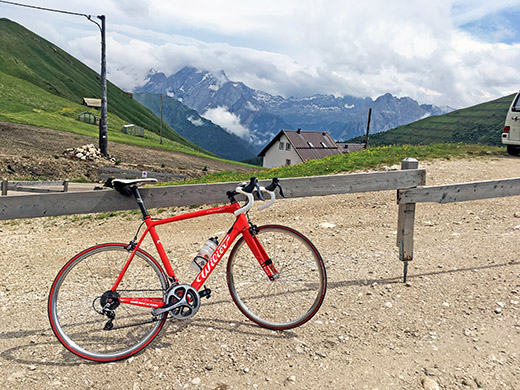
Here is the southeast side of the pass with the Rifugio Carlo Valentini.
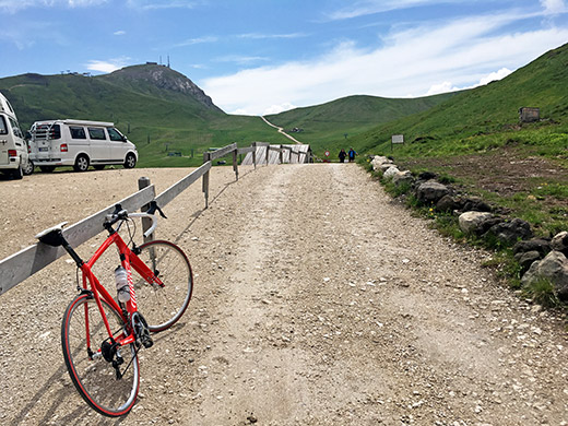
Now here you see the view ahead to the obvious pass I had not visited before, the Forcella Rodela/Sela Rodela (2312m) and as you can sense it is rather steep up there. I managed to cycle half-way up the long ramp you see here, which has concrete surface for the wheels, but with a lot of stones on it and broken concrete and then above 20%. The last part was even a little steeper and since it was bad gravel between the sections I found no use in trying to conquer the last part too.
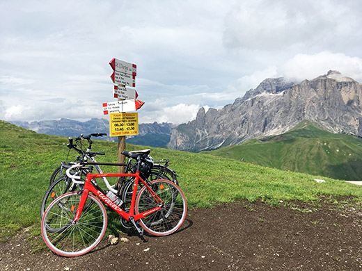
At Forcella Rodela the view is even better, so happy I went there. It is one of the points on the very popular walking path around the Langkofel/Sassolungo/Saslonch. No pass sign unfortunately. Looking in the direction of the Gardena pass here.
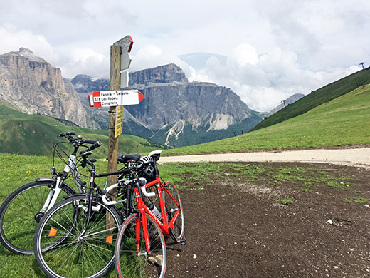
Here I look toward the Pordoi pass on the Sella ronda (the circle road around the big Sella mountain group that you see in the photo).
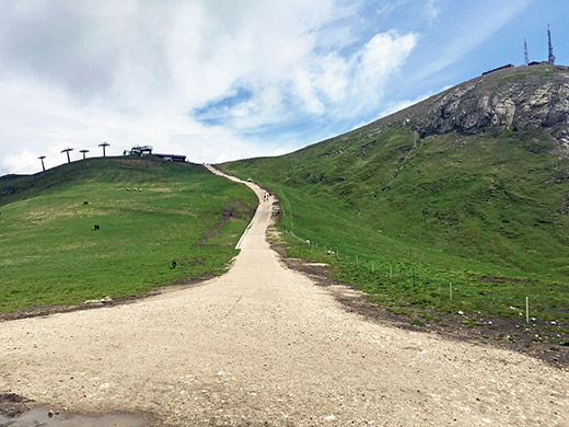
And here the possibly even steeper road continues up to the Col Rodela (the mountain on the edge of the ridge here from where you must have even better views of course and down the Fassa valley, but thought it was enough for me to get here this time (and it would be nearly all walking up there and back anyway).
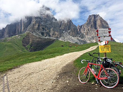
And the Langkofel/Sassolungo/Saslonch mountains even closer now here.
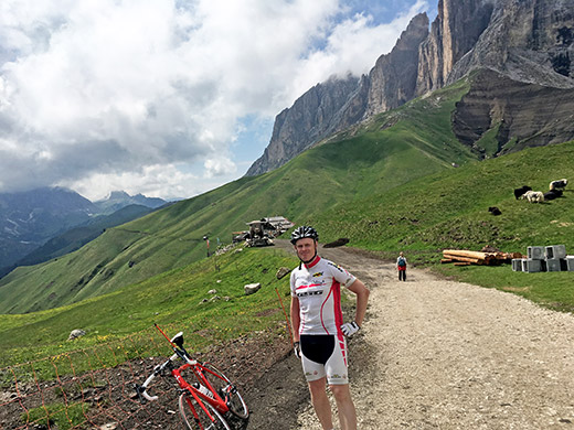
This photo is from the continuing road on the other side that soon turns to a walking path only around the mountains and quite probably is easy with a mountain bike, but not with a road bike for sure.
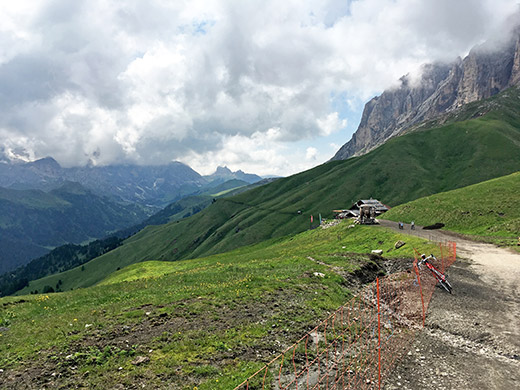
Another photo without me and a bit wider view.
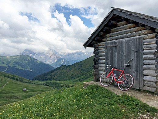
On the way back to the Sella road.
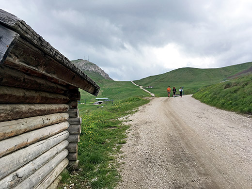
And a bit closer look on the long last ramp to Forcella Rodela.
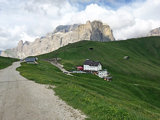
Good overview photo here of the old Passo Sella.
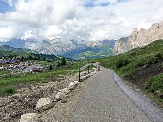
And here the narrow asphalt road up to the old Passo Sella and great view over the Sela de Culac/Kulatsch Sattel/Sella del Culaç area.
Now I went down the Gardena valley and tried to improvise in finding a more local road down from Sëlva Gherdëina/Wolkenstein/Selva Gardena, but apparently went a bit wrong at first, but later found the road I had thought to take over Plan da Tieja. Soon down in S. Crestina/St. Christina/S. Cristina. Then I went down the main road again to Urtijëi/St. Ulrich/Ortisei but continued further to Runcadic/Runggaditsch/Roncadizza (1141m) from where a small steep road goes up through the village to meet the road to Pas de Pinëi/Panider Sattel/Passo di Pinei (1442m).
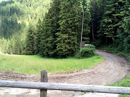
One could continue straight up on the other side of the Ciastel/Kastelruth/Castelrotto road, but this narrow road was marked as closed for maintenance. I decided to try it anyway as I could pass by there and such warnings in Italy are usually not always to be taken literally. One does not have to take this road up the narrow valley to Mont Sëuc/Seiseralm/Alpe di Suisi, where I was heading, but could take an easier road via Bula/Pufels/Bulla and at the end of that village one meets just here in the photo with the road that I took, but as you see here the road is just loose gravel here (you can spot it in Google street view from 2011, where it looks pretty perfectly asphalted right here). So the warning was correct, but apart from this short bad section at the end the road was indeed possible to use.
What is noteworthy though is that the direct road is very, very steep and very often above 20% (242m up in 1.6 km for 15.3% on average) and therefore seldom tried by road cyclists. It was possible even though the asphalt was not in good quality to climb it all apart from this otherwise not so steep gravel part, which I hope they will cover with asphalt coating once again eventually, so others can try this road too.
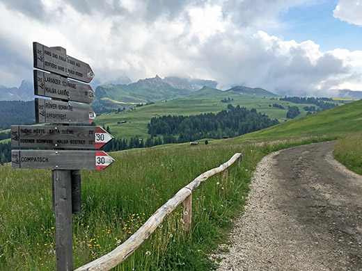
The remainder of the road from Bula/Pufels is feared enough by the few courageous road cyclists who have been up here and it is often around 14% and steeper at some places too. This part of the road offers good asphalt to the top, an it is surely not easy and the hard part does not really end until you are at the very top of the plateau up there. It is all through the woods so it will not get so hot, but could be wet on the road so you have to sit down to get up safely and it also does not really offers any good views. Good views will be enough of later on though!
I was supposed to go toward Kompatsch/Compaccio and up a road there which I believe is the highest asphalted road up here, but took the wrong road and thought I could go there another time maybe and was anyway more interested in going toward Saltria where I have not been before. The road height of the through road on asphalt is passed just before reaching Saltria at Wiedner Eck/Egg (1873m) and even though this is the centre of the great plateau this is also a pass taking you from the Pufler schlucht and down back to the Val Gardena/Grödental/Gherdëina via Val de Jënder/Jëndertal/Valle Jënder (Iënder on most maps).
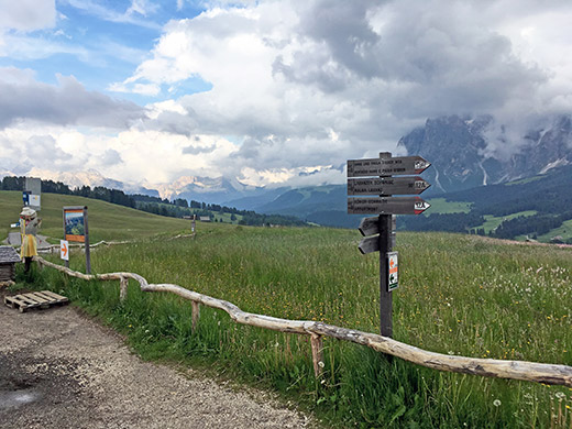
A little bit less clouds would have ben better for the best photos, but quite nice here nonetheless.
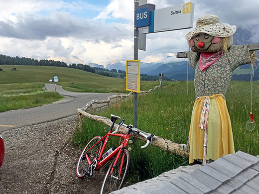
Notice that all signs says ‘Compatsch’, but all locals seems to write ‘Kompatsch’ (and it also appears on maps). Here a view over the road as it sideways down over the pass and with both bus stop signs saying Wiedner Eck and the time tables says Wiedner Egg (also see the locals seems to use both names and not sure about why the two variants sometimes appears in German language areas (maybe one of them is older or one of them is more local)).
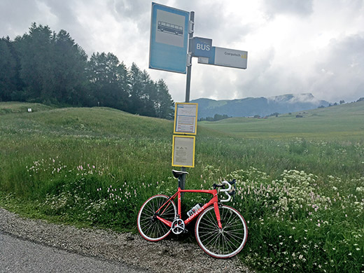
Looking back over the saddle from where I came up (on this side of the Puflatsch mountain in the background).
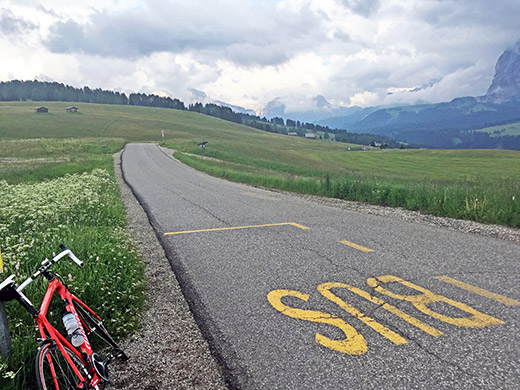
Yet one more photo before the descent to Saltria.
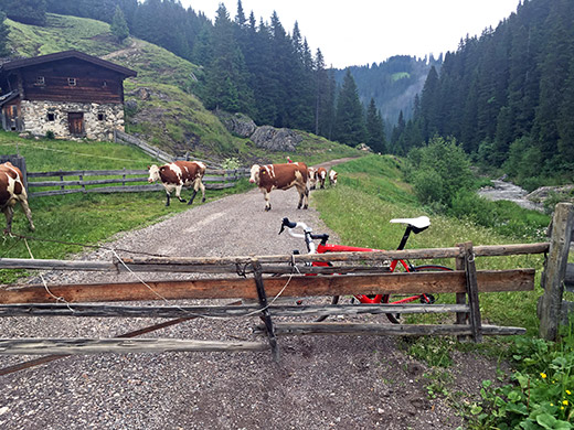
Below Saltria the good road ends here and the Streda Jender ahead here takes you down through the forest, but includes going over the river twice and a steep uphill that I had to walk and then steep serpentines back down to the river again.
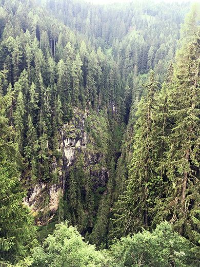
Here I am after having crossed the river again and soon arriving at the start of the asphalted part of the road. There is a road there on the other side, but it seems like it was not going anywhere and I did not want to explore it. Very steep down here on the side of the road!
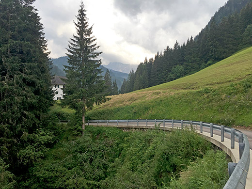
Here back on the good road and looking back at the first rather nice house. Still a steep descent before coming down to S. Crestina again.
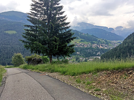
Here the road descends steeply and at last the views opens up over the Gherdëina valley. I got a bit confused (not looking on the map as I should) and took the false road down and had to go back a bit up again. There was a little climb before coming down to the river at S. Crestina.
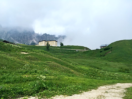
A last photo for the day late in the evening (just before 21:00 actually). Had to try and go down hurriedly, but it was also wet, cloudy and cold on the other side down to Corvara and therefore I went very slowly and reached Corvara just as it was about to get really dark. Stopped in Corvara by a busy restaurant I have visited many times before and know they would be open late, especially on this evening before the Maratona dles Dolomites. So here I could warm up and eat some (think I might have had one pasta and a pizza or two pizzas).
Went slowly down in the dark to La Ila/Stern/La Villa and had to put my alarm clock a bit earlier for the next morning, but was not intending to go up as early as most participants in the Maratona as the start goes just outside where I was staying (if starting in the last group as I was this time).
