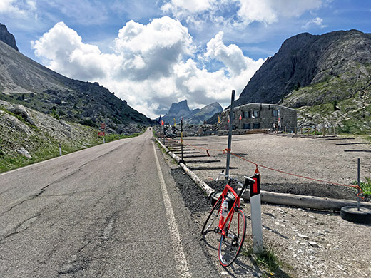
Time to leave La Ila/Stern/La Villa and I decided to take the road over the lovely Ju de Valparola/Passo di Valpar˛la/Valparolapass (2197m) out of the area. Stopped on my way up to get a new tyre to replace the worn out rear tyre at the bicycle/ski shop in S. Ciascian/St. Kassian/S. Cassiano where I have stopped before and they had just one red Michelin tyre left that I wanted.
As always, it felt like a little longer to the pass than I had remembered, but I kept up the speed fine. I stopped before the war monument/exhibition for a photo over the pass area.
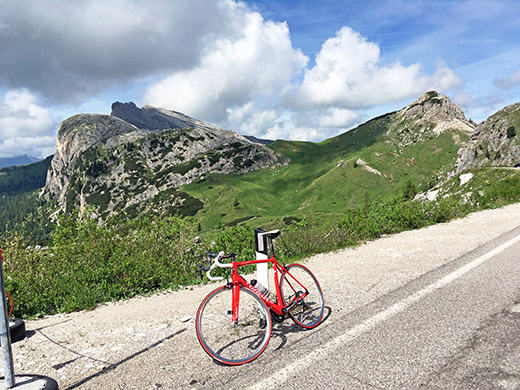
Another photo at the same place overlooking the valley where the walking pass descends.
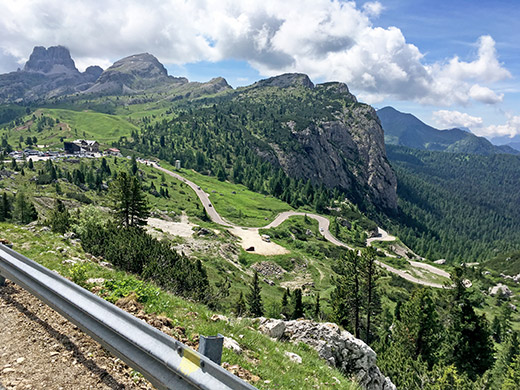
On the way down to Passo di Falzarego/Jou de Fauzare/Ju de Falzares (2105m) one has this great view over the west side up here and that was the side I was now going to descend.
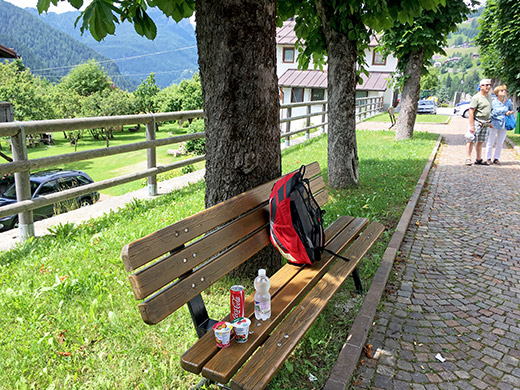
Then I had to take the same road again as two days before in the Maratona over Colle Santa Lucia (1436m) and down to Selva di Cadore (1311m), where I stopped for two yoghurts, coca-cola and water. After this short break I continued south to Forcella/Passo Staulanza (1770m) which I again have only climbed from this very easy side.
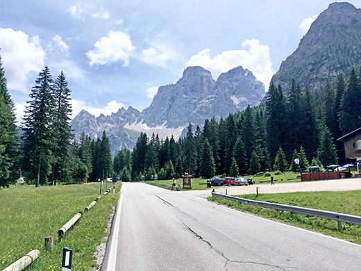
I stopped before the last little climb where two other cyclists stopped for a photo and took one myself.
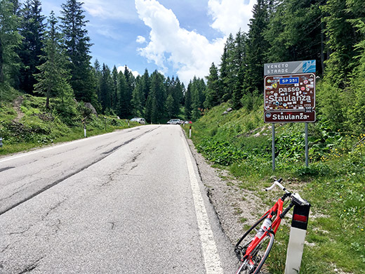
When arriving from the north the pass height looks rather dull.
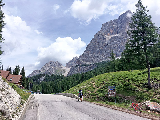
But here from the south side it is quite nice.
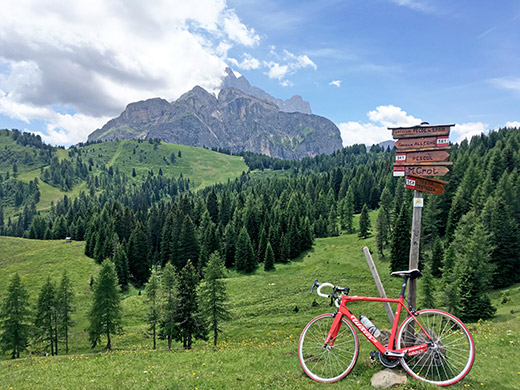
The reason I took this way again was to figure out just how long a stretch of gravel road it was to reach a nearby pass I had overlooked the last time. The road takes off at the first bend below the Staulanza pass on the south side and unfortunately it starts with gravel right away. Forcella Pecol (1987m) is reached after 960m on a decent gravel road then there is ca. one kilometre of perfect asphalt road and from the farm there is then 360m of good gravel road and a last 60m of leading your bicycle up to the actual pass as both roads at the fork here are too bad to use with a road bike.
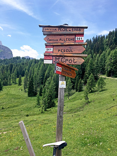
Here a better look at the pass sign which reports the height as 1986m. It is not too common with real pass signs in this area for the passes, which are at best noted on directional signs (maybe I am mistaken, but have seen much of this in Italy). (Apparently everyone knows where one is as one followed the signs to get to the place in question?) Names of passes are missing in most countries here and there and especially at ones below 2000m, but it is a bit more common with directional signs and then no name at where you arrive in Italy, in my experience.
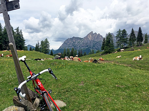
Overlooking the north side of the pass which goes in parallel to the Staulanza pass along the same ridge. Also overlooking the very authentic looking shepherds sitting up here. Talked a little with one of them, but cannot say I understood a word, but they were nice.
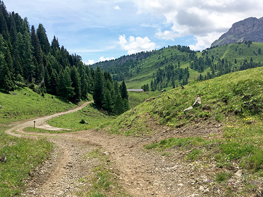
Here you see the end of the good road just below and the road where I stand of course, as always, looks better on the photo than in reality.
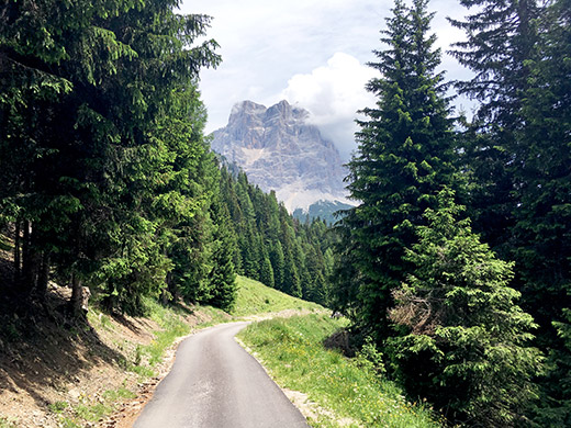
Nice views from the perfect asphalt part of the road. If it would have been like this all the way they would have seen a lot more road cyclists up there (which may be a reason it is not fully asphalted … ).
Now I forgot to stop and look on my plan and thought I knew that I was supposed to continue down the south side of the Staulanza, but the reason to go here was really only to get to Forcella Pecol and I should have returned back to Selva and then down to Caprile. However, I realised this first when I was half-way down the long descent to Dont. Don’t go to Dont I told myself, but too late.
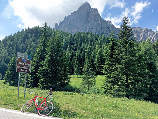
So after a stop by the little hotel in Dont (only open place I found) and a coffee and maybe an ice cream, I continued up the steep road to Passo Duran (1601m). It is quite steep in the beginning, but not so steep afterwards on this east side. The west side is much harder as I learned already back in year 2000 on my first trip to the mountains and I got very surprised that time as back then there was no online graphs of the climbs on the Internet (maybe they started to appear around that time, but I only learned about such things a few years later).
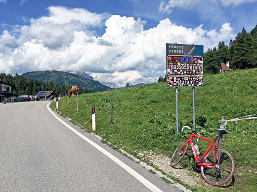
It was hot down in Dont, but the weather was great and I took photos in three directions up at the pass. I noticed the local name variants where different on the new signs on each side. Not sure how much the local names are used in this area.
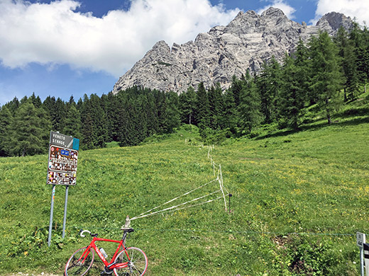
The mountains are high on both sides of this pass. This is a very well-defined pass indeed.
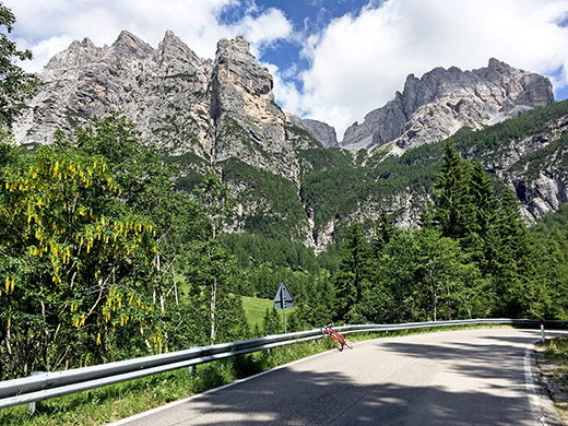
The views on the Passo Duran are clearly best higher up on the west side and I stopped for a photo on the way down from probably the nicest place. I had to descend carefully and was a bit worried of over-heating the rims as one could gain quite high speeds down this side and one needs to brake sooner or later.
Ok, I was down in the valley where I should have been much earlier in the day to climb another obscure pass called Forcella di Lagazzon (1356m), which now will be the highest asphalted pass I still haven’t climbed in all of the Dolomites. It did not make much sense in doing this pass now as I would had to go back up and then down again to make it and I could not really get too much behind in my schedule on the way back to France now.
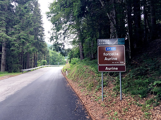
So I continued up the other side of the valley to Voltago Agordino (took a photo there of a power station, but I spare you that joke …). The weather started to get worse and I tried to keep as good a speed as I could up to the Forcella Aurine (1296m), which given its lower height should not be such a long climb I had thought, but it is indeed a quite long climb mostly since it is not very steep. I descended here in 2006 in bad weather and did not quite remember the length.
There was rain in the air, but I mostly escaped from getting really wet as it did not quite get much enough, but varied along the mountainside. Quickly down to Gosaldo where I could not stop as it was the most rainy place and there was still a chance to escape, so I continued, but the road ahead was not just up to the next pass, but up and down and long, so it was a quite tough ride I must say.
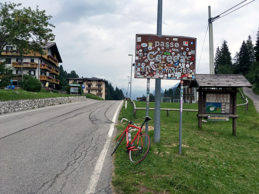
Eventually I reached the Passo di Cereda/Pas de ZarŔda (1370m) and even if it is also (like Duran) much harder on the west side, this had been as hard for me to get there this day. Now it was not raining but still rain in the air and after two quick photos (one here) I went down the very fast and twisty road to Fiera di Primiero (719m) but that also went well.
Still bad weather and now I remembered that I had planned to make another climb from here, but that was simply not an option now and I just continued down the valley to get as far as possible and hoping I could escape the chasing rain. Not too long after Fiera I got to the next village, Mezzano and just as I arrived there the game was over and the rain got terrible. I stopped by the first ice cream place there and got an ice cream while thinking about if I could do anything more this day. It was already past 18:00 now and if I skipped the climb I was supposed to do here I could possibly have climbed also the next Passo della Gˇbbera/Passo de la G˛bera (988m), but after a while it looked like the rain would not stop for quite some time, while I got to realise that next to the ice cream place was an albergo, so I went in there and asked for the price and decided to stay there. It was actually a decent old hotel at a moderate price, so I was happy with the stay there and that also gave me the opportunity to do the local climb here I had wanted to in the morning.
